9 FIR TREE CLOSE
STAFFORD, COPPENHALL, STAFFORDSHIRE ST18 9BZ
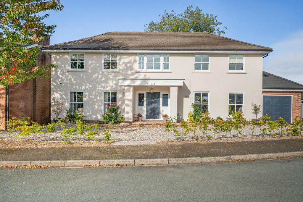
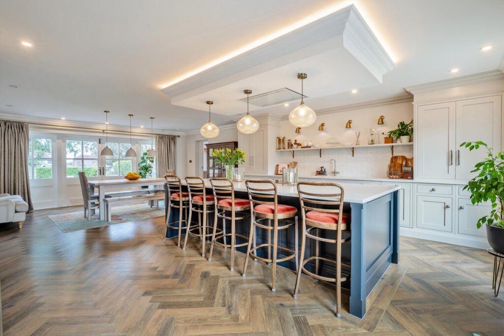
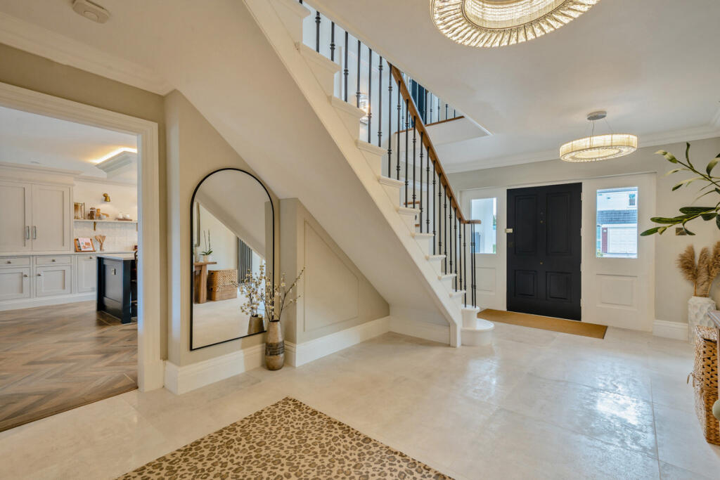
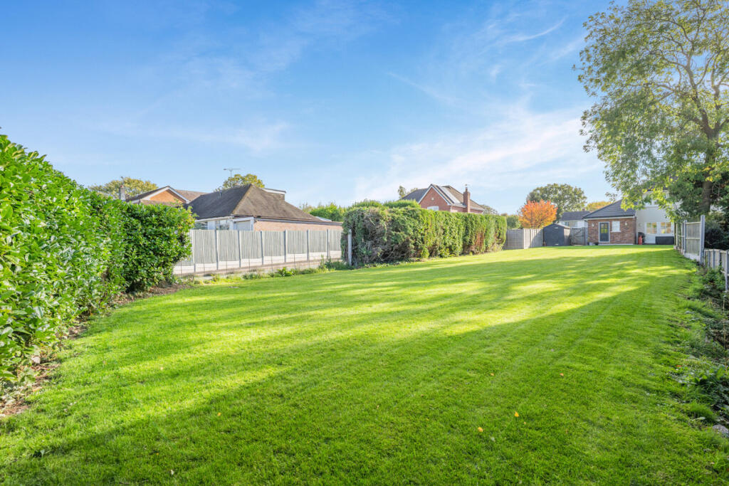
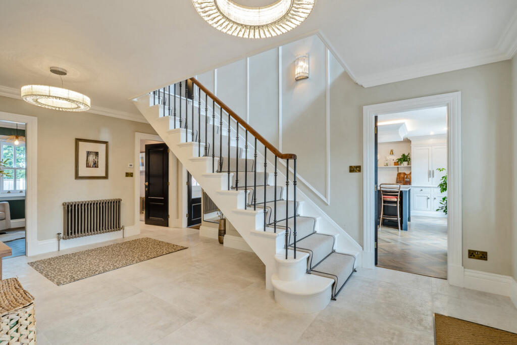
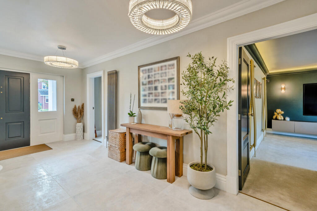
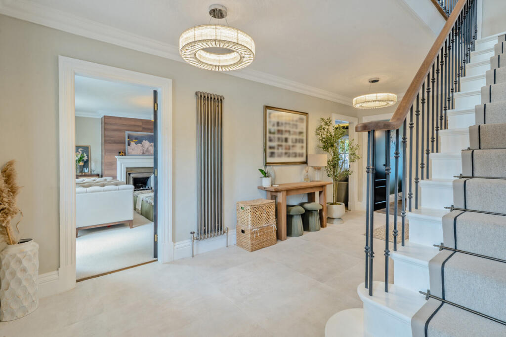
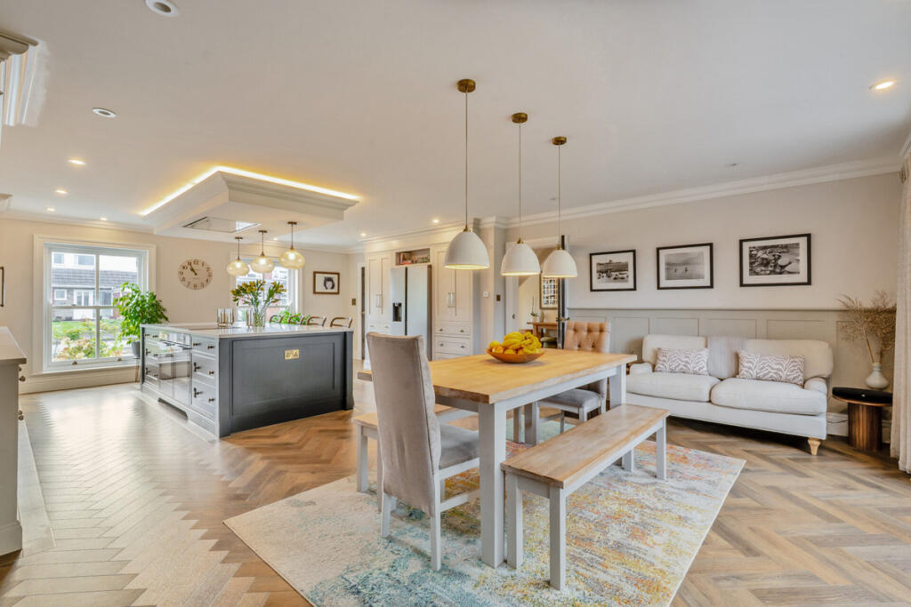
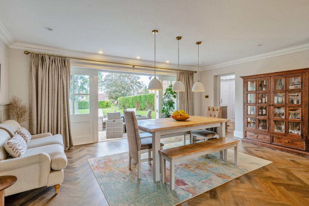
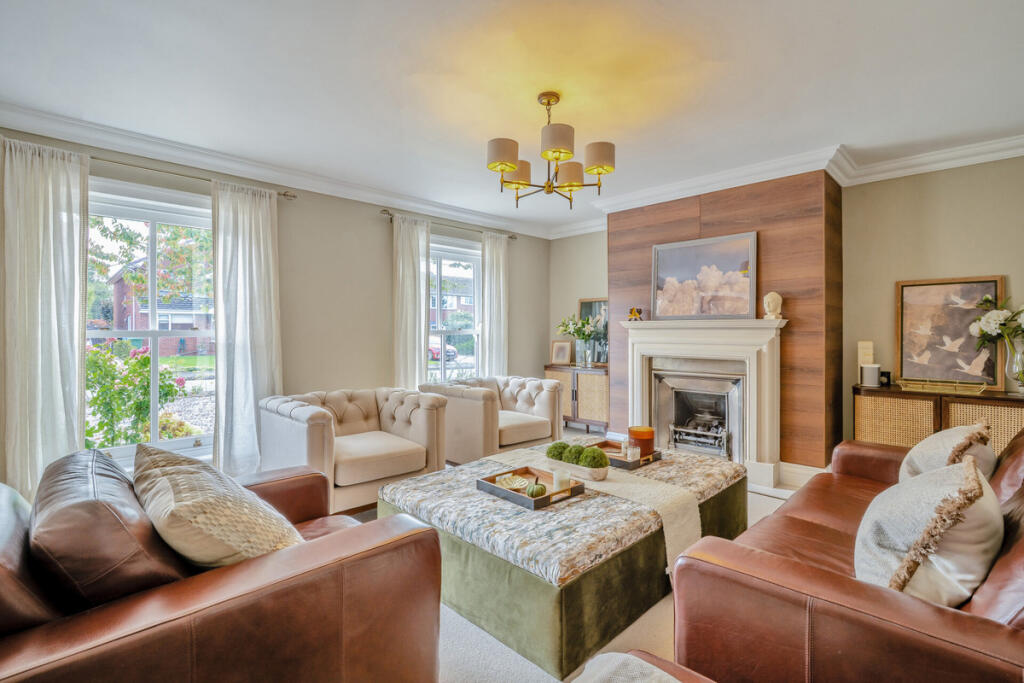
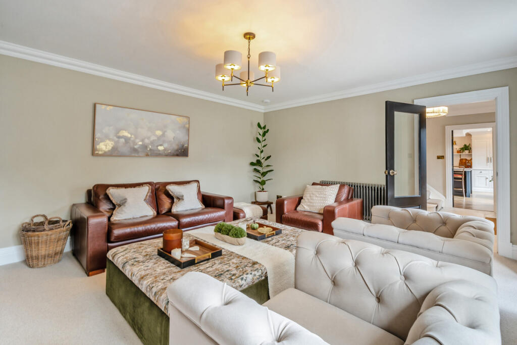
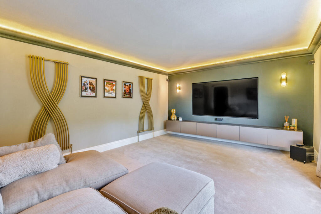
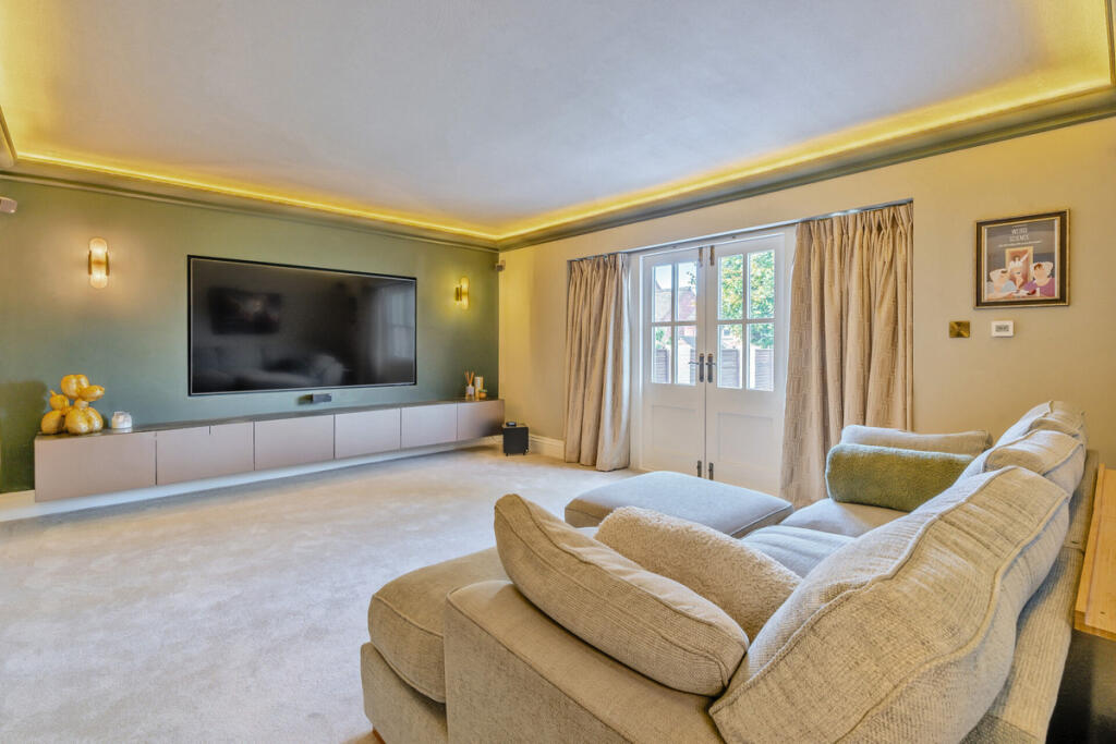
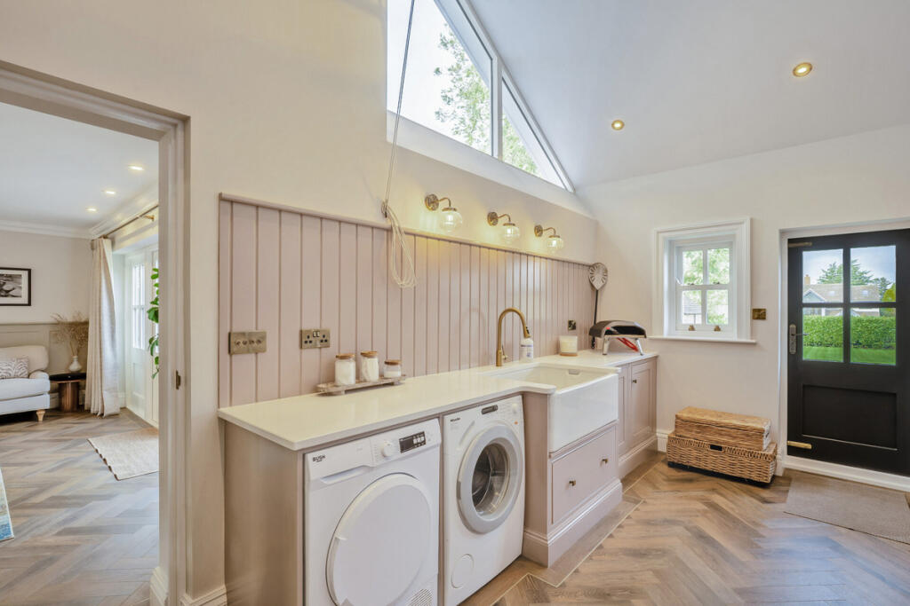
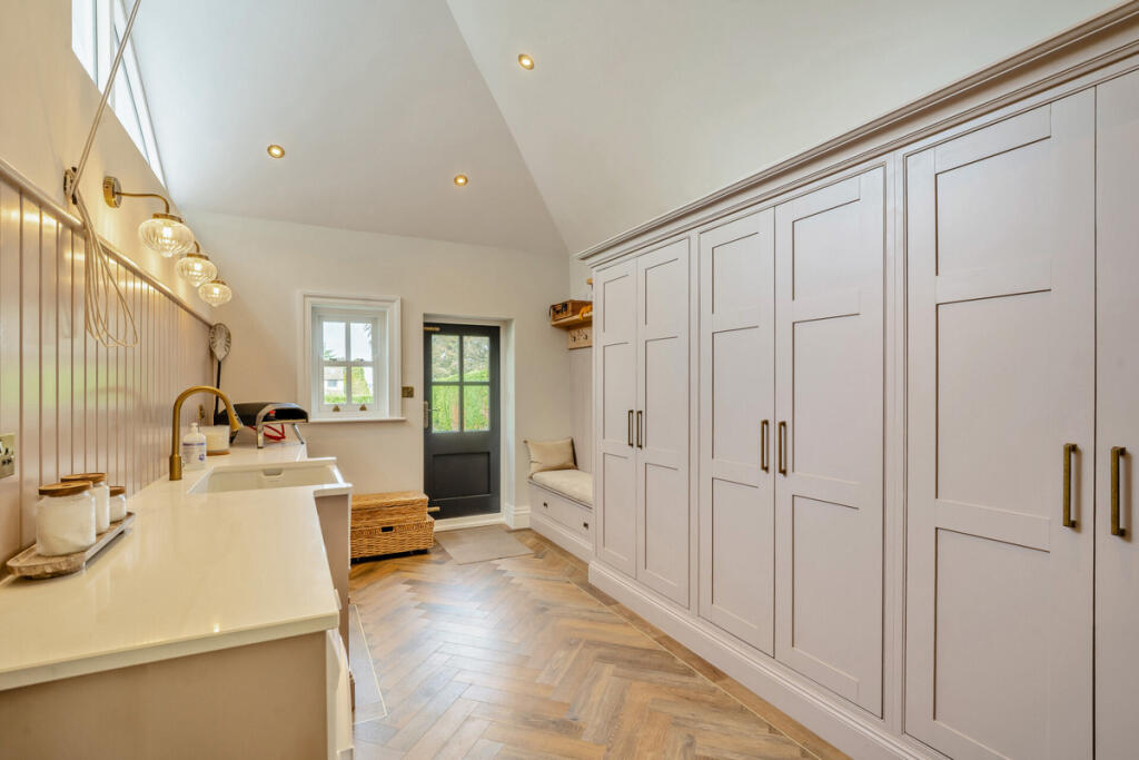
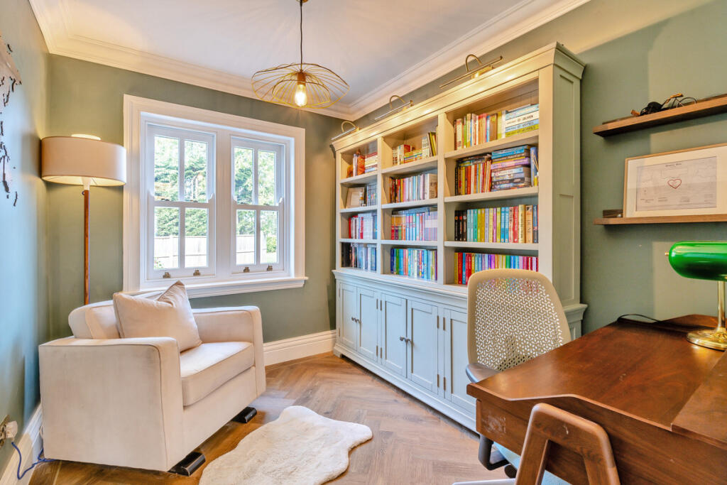
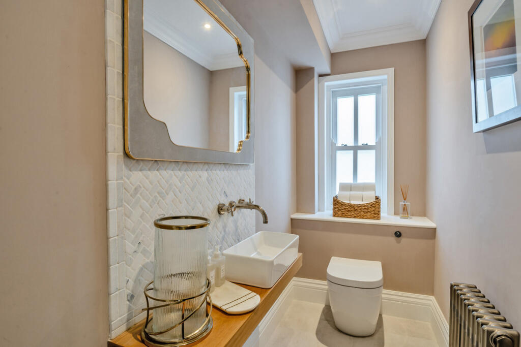
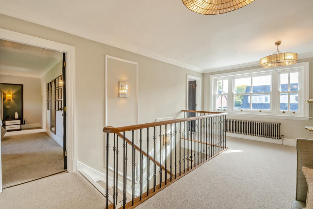
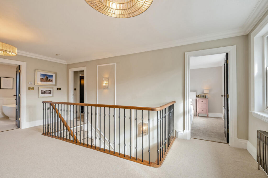
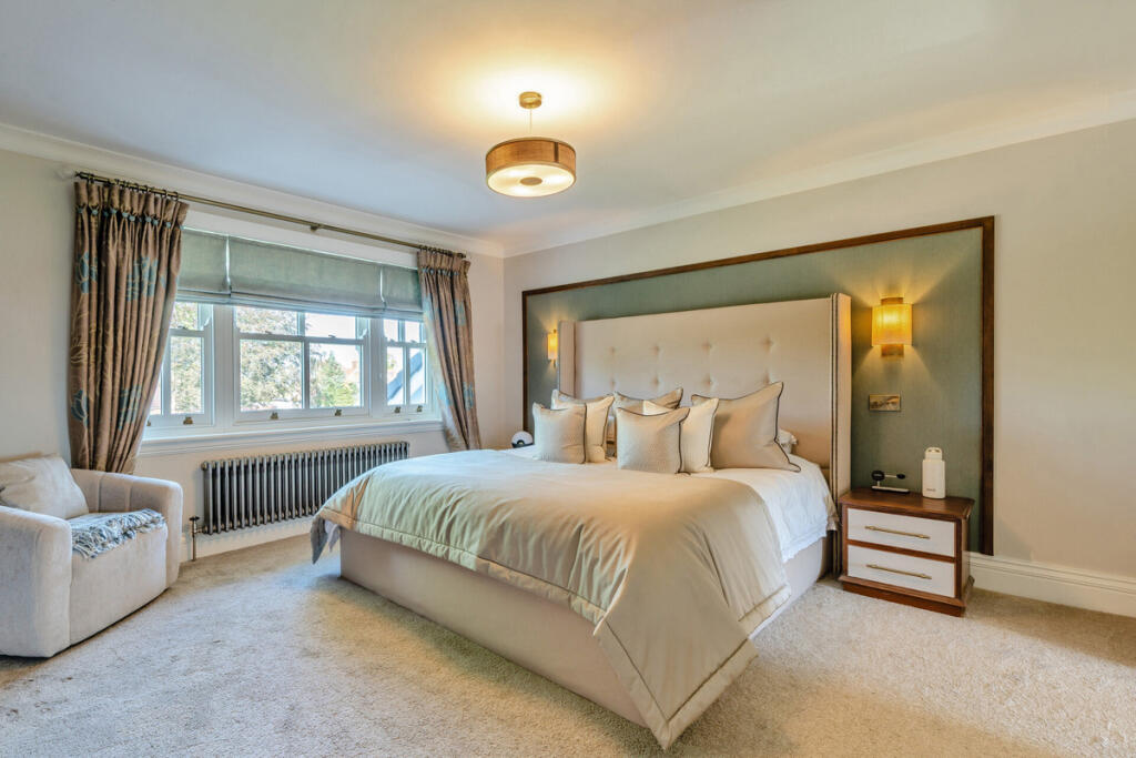
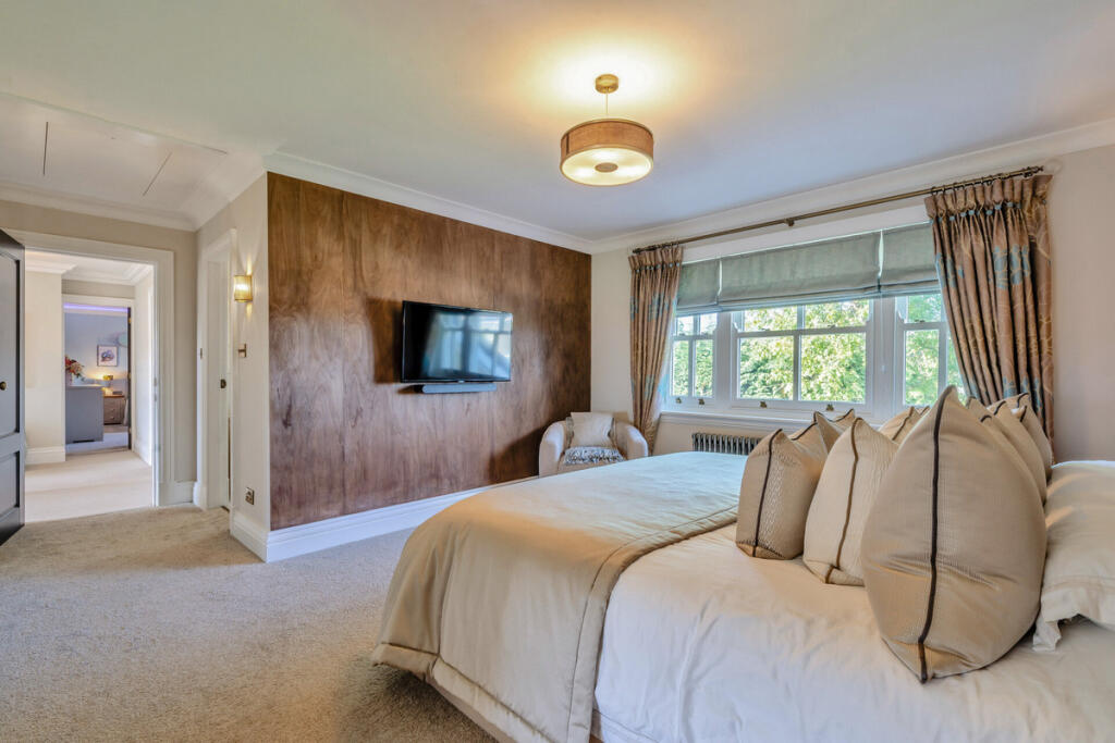
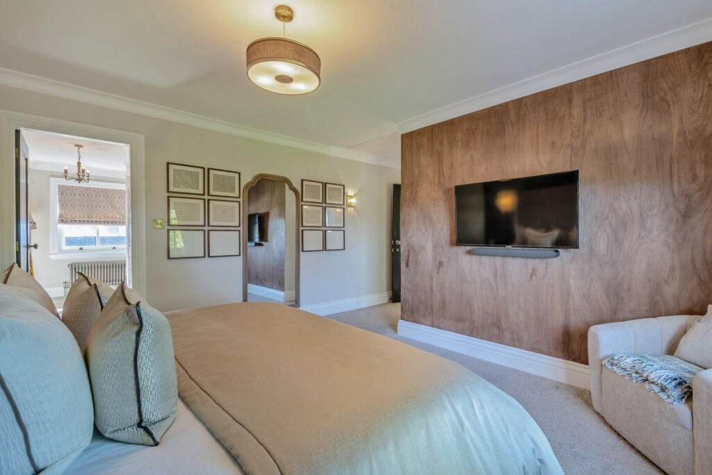
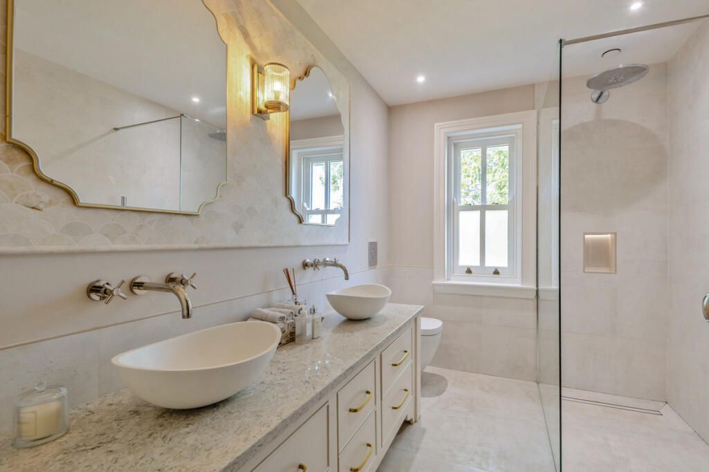
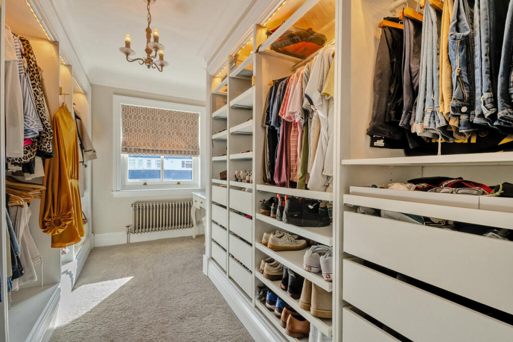
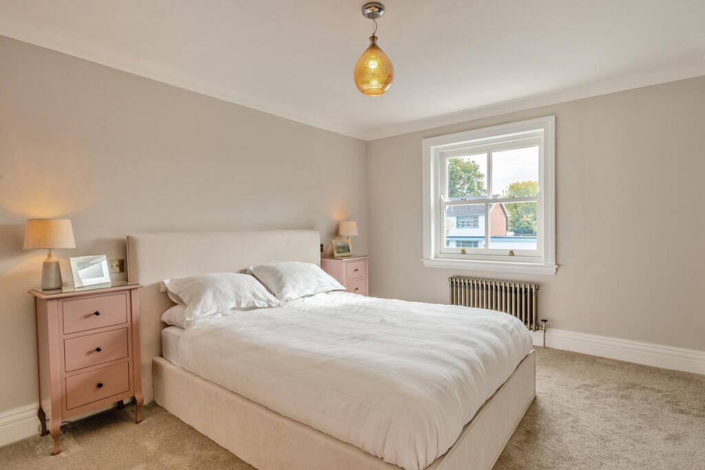
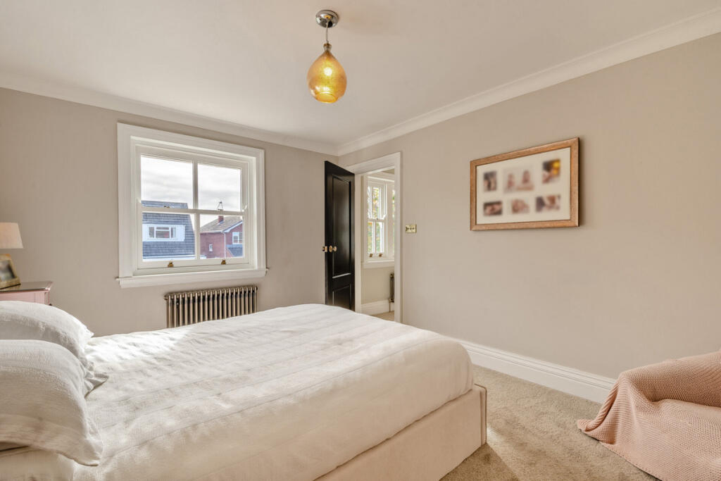
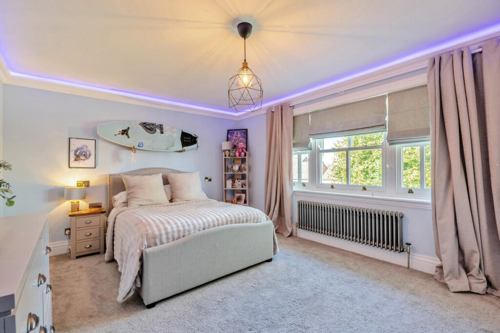
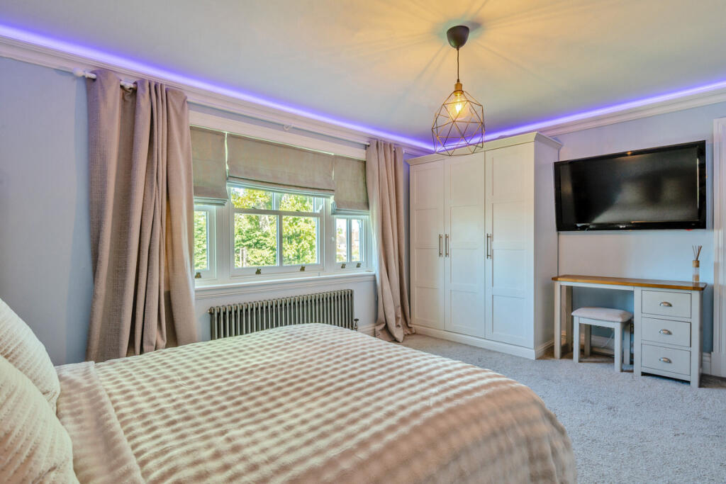
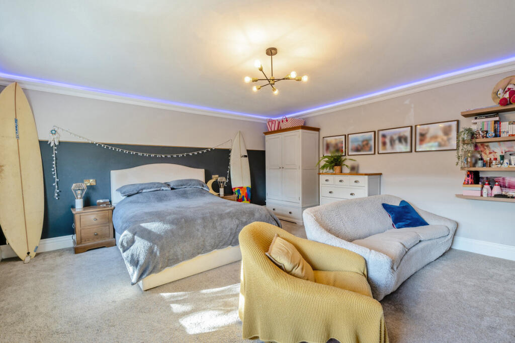
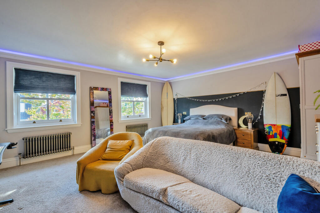
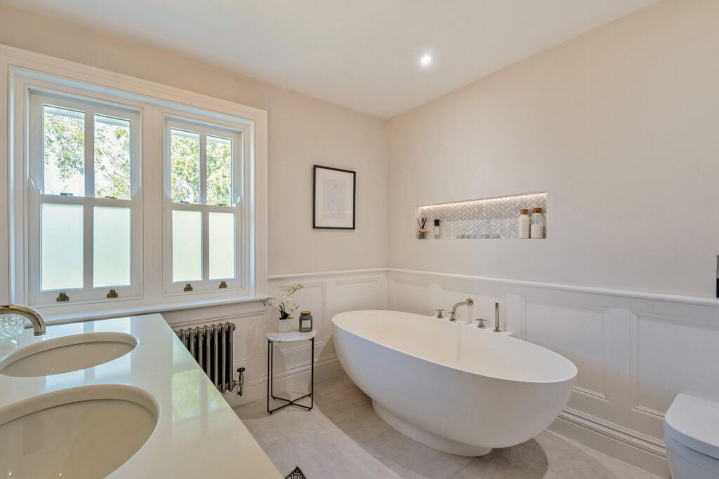
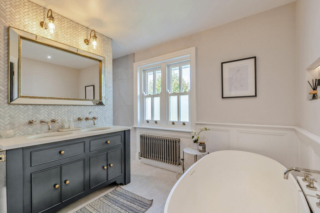
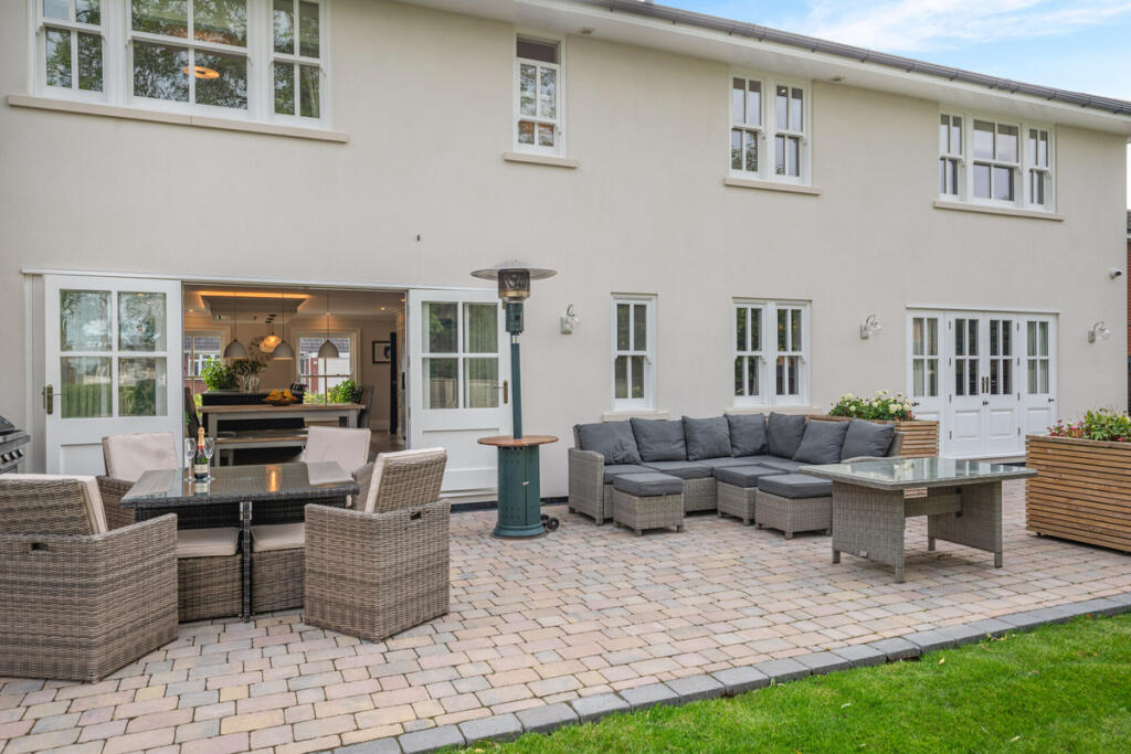
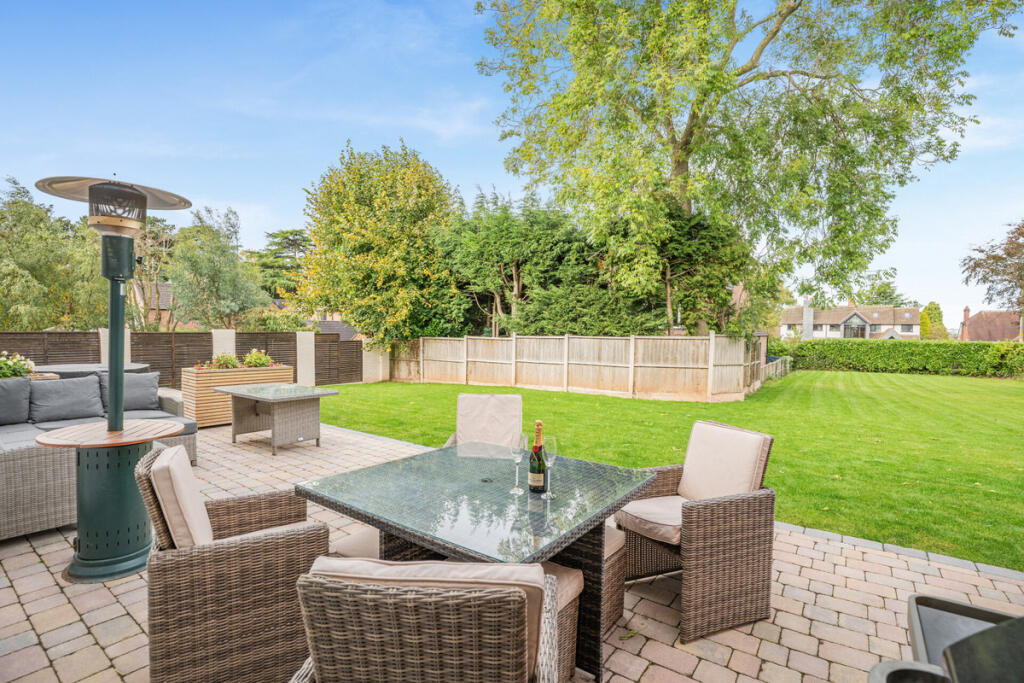
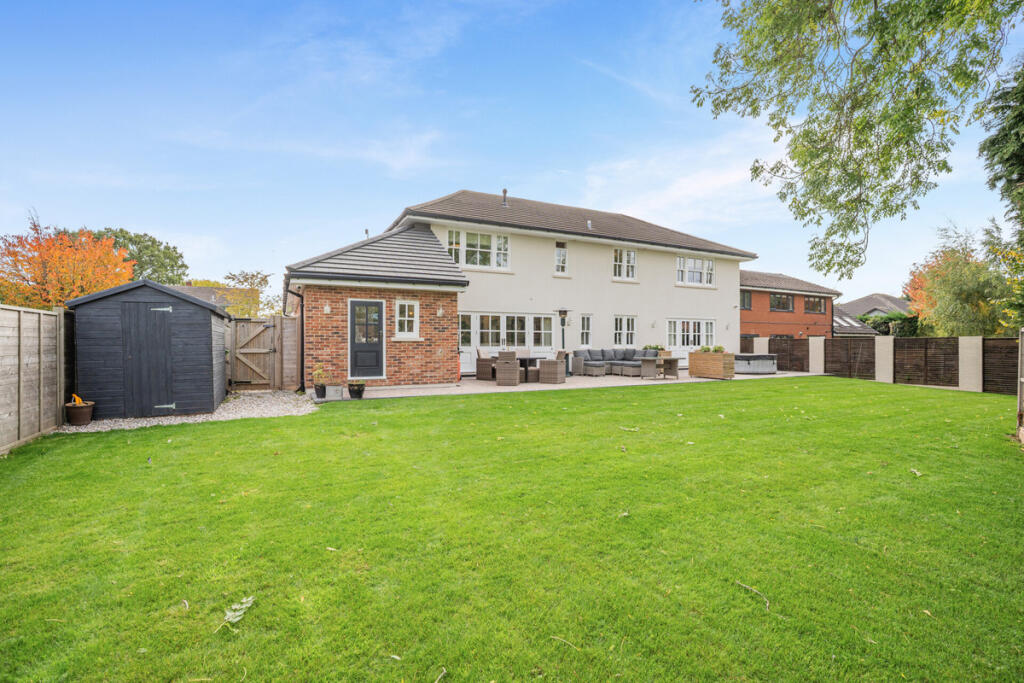
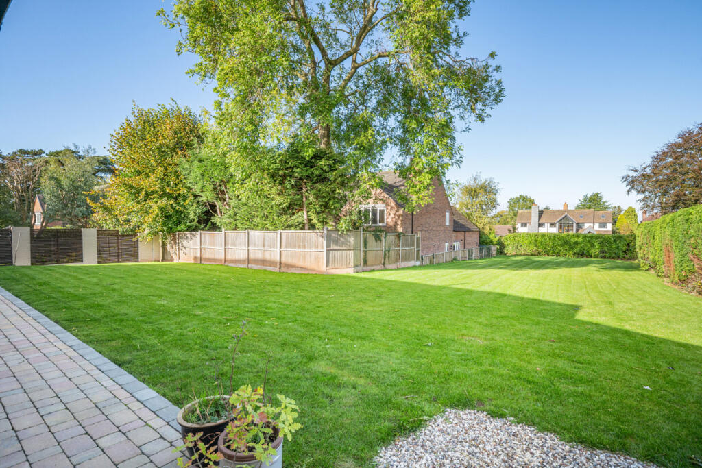
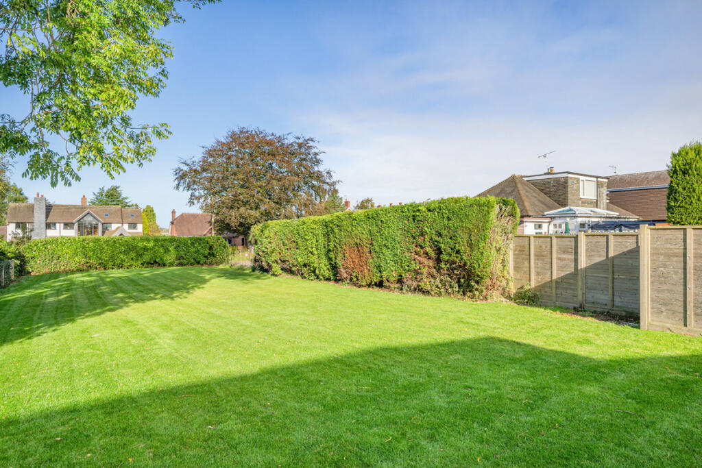
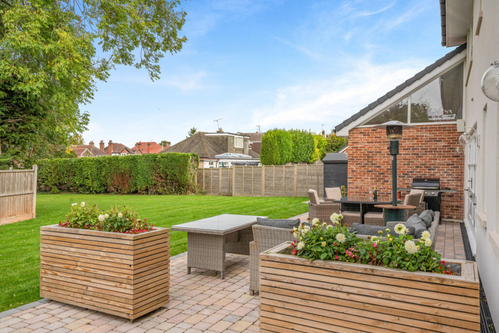
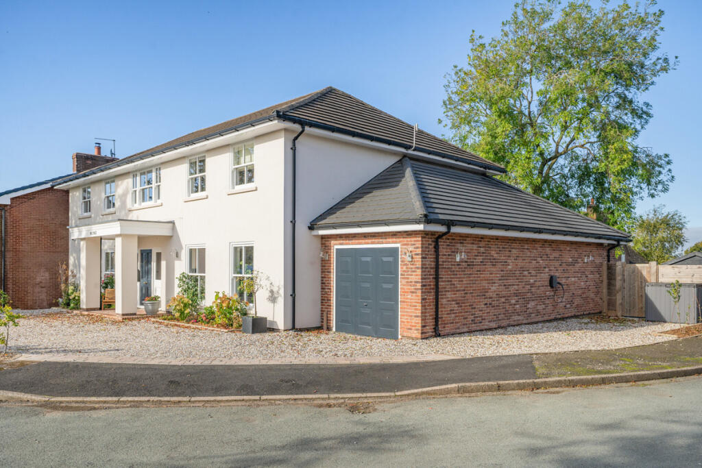
Photo 1 Photo 2 Photo 3 Photo 4 Photo 5 Photo 6 Photo 7 Photo 8 Photo 9 Photo 10 Photo 11 Photo 12 Photo 13 Photo 14 Photo 15 Photo 16 Photo 17 Photo 18 Photo 19 Photo 20 Photo 21 Photo 22 Photo 23 Photo 24 Photo 25 Photo 26 Photo 27 Photo 28 Photo 29 Photo 30 Photo 31 Photo 32 Photo 33 Photo 34 Photo 35 Photo 36 Photo 37 Photo 38 Photo 39
/ 39
Property details
Tenure
FREEHOLD
Floor area
264 m²
Council tax band
G
Last sold
£395,000 Mar 2021
Local average
£498,956 (+80.4%)
Deprivation
Decile 8 (26,735 of 33,755)
Street crime
15 incidents within 1 mile (May 2026)
Key features
- Modern Detached Family Residence
- 4 Bedrooms, 2 Bathrooms
- 3 Reception Rooms
- Traditional and Contemporary Styling
- Heavily Renovated By Current Owners
- Immaculate Presentation Throughout
- Private and Child Friendly Gardens
- Off Road Parking and Garage
- Easy Commute to Stafford Train Station
- Close to Stafford Grammar
Additional details
- Electricity
- Mains supply
- Broadband
- FTTC (fibre to the cabinet)
- Water
- Mains supply
- Sewerage
- Mains supply
- Parking
- Yes
- Garden
- Yes
Description
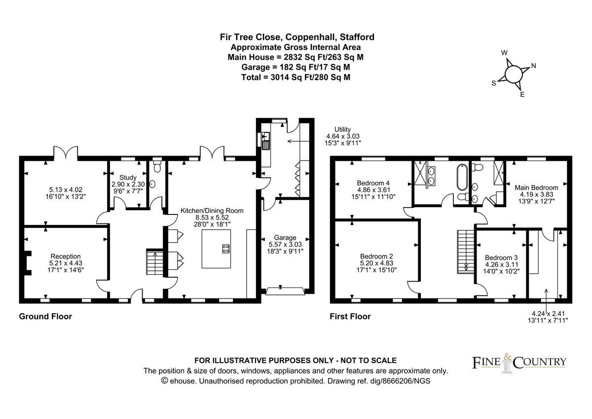
Heavily renovated by the current owners, the accommodation includes 4 bedrooms, 2 bathrooms and 3 reception rooms, creating a high specification well-presented family home in a quiet cul-de-sac location.
Services, Utilities & Property Information
Tenure: Freehold
Council Tax Band: G
Local Authority: Staffordshire County Council and South Staffordshire Council
EPC Rating: C (Valid until 6 October 2035)
Property Construction: Standard
Electricity Supply: Mains
Water Supply: Mains
Drainage & Sewerage: Mains
Heating: Mains Gas
Broadband: FTTC / Ultrafast Fibre Broadband connection now available. We advise you to check with your provider.
Mobile signal/coverage - 4G and 5G mobile signal is available in the area. We advise you to check with your provider.
Driveway Parking: Garage, Driveway and Off Road Parking spaces
Special Notes: Restrictive Covenants affecting the land - A covenant to observe and perform the covenants referred to in the Title Register.
Listed by
Derby
Newman Estate Agents
Reference: 87455259
EPC Rating & Upgrade Cost
Fetching EPC data… Refresh this page in a moment.
Flood risk
Zone: 1
Risk: Low
Job (default Low)
Floorplans
Floorplan 1
EPC Graphs
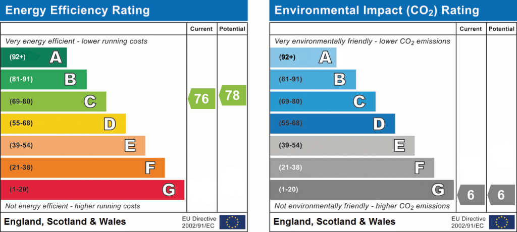
EPC 1
Price history
| Event | Date | Price | % change |
|---|---|---|---|
| Listed for sale | — | £900,000 | +127.8% |
| Sold | 04/03/2021 (5 years ago) | £395,000 | — |
Source: HM Land Registry Price Paid Data. Crown copyright.
Sold Comparables
Same street and nearby sales within 0.25 miles (last 5 years). Data from Land Registry Price Paid.
| Address | Price | Date | Type |
|---|---|---|---|
| MULBERRY HOUSE, COPPENHALL, STAFFORD, SOUTH STAFFORDSHIRE, STAFFORDSHIRE, ST18 9BW | £610,000 | 08/01/2026 | Detached |
| 1 BEECH LANE, COPPENHALL, STAFFORD, SOUTH STAFFORDSHIRE, STAFFORDSHIRE, ST18 9BT | £850,000 | 25/07/2025 | Detached |
| CONISBROUGH HOUSE THE LANE, COPPENHALL, STAFFORD, SOUTH STAFFORDSHIRE, STAFFORDSHIRE, ST18 9BS | £1,300,000 | 23/03/2022 | Detached |
| AXEHOLME, COPPENHALL, STAFFORD, SOUTH STAFFORDSHIRE, STAFFORDSHIRE, ST18 9BW | £389,950 | 18/11/2021 | Detached |
Area average: £787,488 (4 sales)
Capital growth trend
Land Registry outcode average: last 12 months vs 5y and 10y ago (from sold prices).
House Price Index (HM Land Registry — official index, not sold-price averages): South Staffordshire. Series: Detached. As of April 2026.
Rental Range
Estimated market rent for South Staffordshire. Low = conservative, Realistic = average, Optimistic = best case.
Based on Local Authority from postcode lookup → South Staffordshire.
LHA (30th percentile) floor for Mid Staffs: £992/mo (Apr 2025 – Mar 2026)
Location
Nearby
Nearest stations, universities and amenities (distance from property).
| Type | Name | Distance |
|---|---|---|
| Bus stop | Firtree Close | 0.0 miles |
| Shop | Harvey's Autos | 1.0 miles |
| Shop | Tesco Express | 1.2 miles |
| Hospital | Rowley Hall Hospital | 1.6 miles |
| Train station | Stafford | 2.2 miles |
| Hospital | St George's Hospital | 2.8 miles |
| Train station | Penkridge | 3.4 miles |
| University | Staffordshire University Blackheath Lane Site | 3.8 miles |
| University | University of Wolverhampton Science Park | 11.7 miles |
Street-level crime
| Category | Count |
|---|---|
| Violence and sexual offences | 10 |
| Anti-social behaviour | 3 |
| Burglary | 1 |
| Criminal damage and arson | 1 |
| Total incidents | 15 |
Within 1 mile during May 2026. Source: data.police.uk (England & Wales).
Schools nearby
Nearest open schools with Ofsted ratings (England). Closed schools are not shown. Data from Get Information about Schools and Ofsted.
| Name | Type | Distance | Ofsted |
|---|---|---|---|
| Stafford Grammar School | Other | 0.8 miles | — (No rating) |
| Heather Field School | Other | 0.9 miles | Outstanding — 1 May 2024 |
| Burton Manor Primary School | Primary | 0.9 miles | Good — 9 Dec 2014 |
| Stafford Manor High School | Secondary | 1.2 miles | Requires improvement — 9 Jul 2023 |
| Blessed Mother Teresa's Catholic Primary School | Primary | 1.3 miles | Good — 18 May 2022 |
Rental Comparables
Loading rental comparables for this postcode. Refresh in a few minutes.
Rent-driven metrics
Based on Area rent estimate.
- Rent ratio — Monthly rent ÷ purchase price (1% rule). 1%+ = strong, 0.8–1% = okay, <0.8% = weak for cashflow.
- Max investor price — Rent ÷ 0.8%; the price at which rent would be 0.8% of price (Stoke-style target).
- Target investor price — Rent ÷ 1%; the price at which rent would be 1% of price (strong cashflow band).
- Gross yield — Annual rent as % of purchase price (no costs).