53 PRIORY ROAD
PETERBOROUGH, CITY OF PETERBOROUGH PE3 9EE
£595 pcm
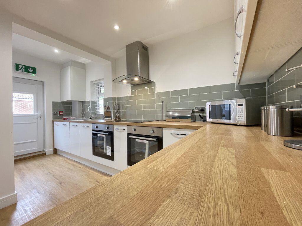
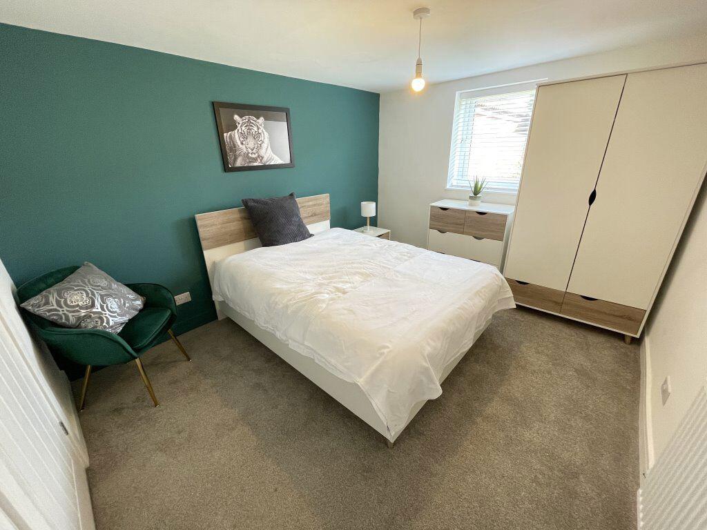
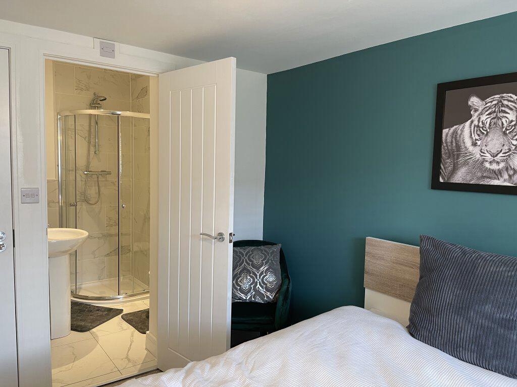
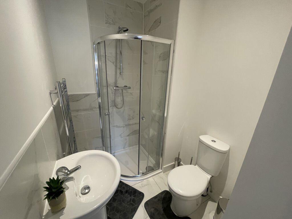
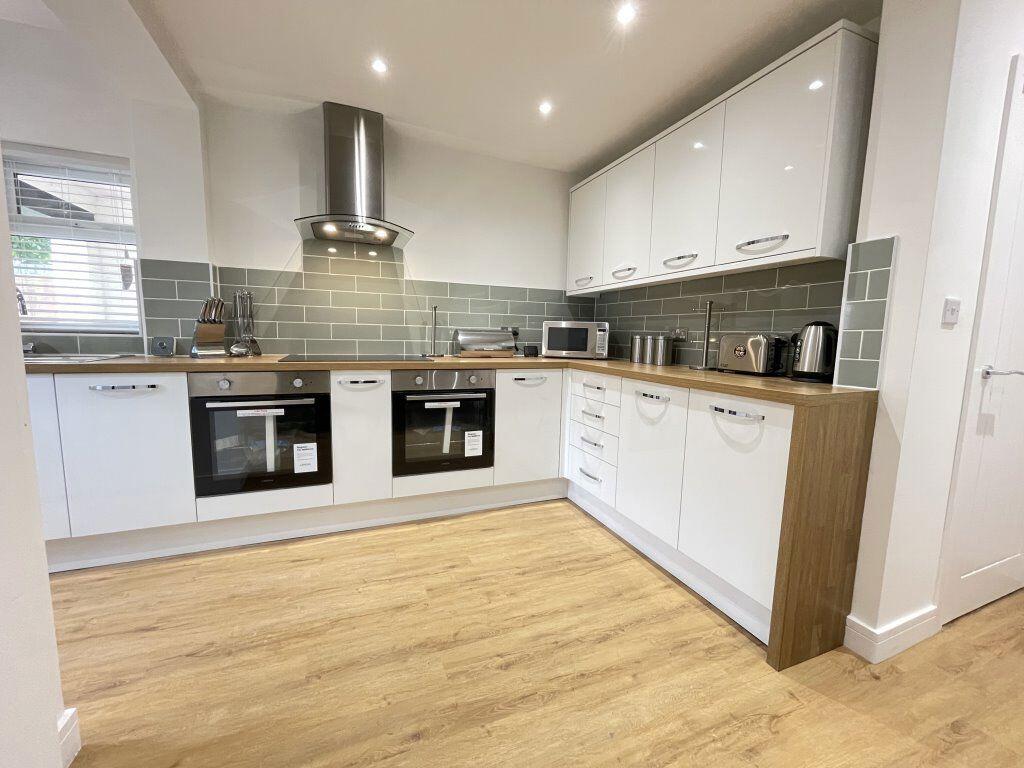
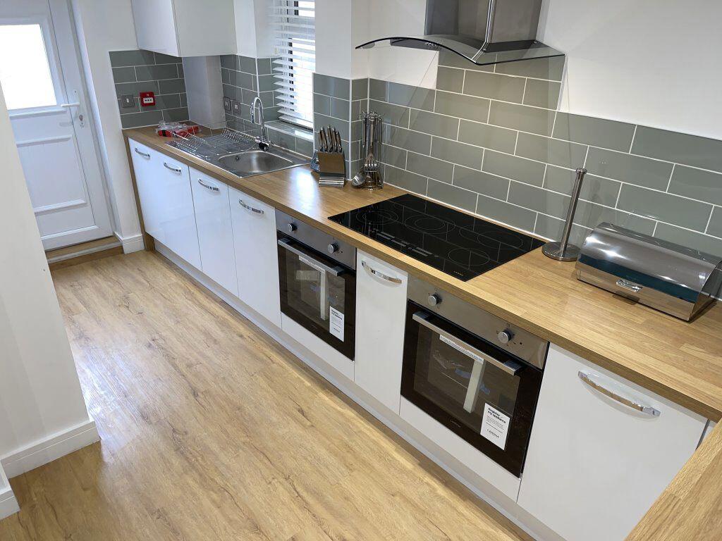
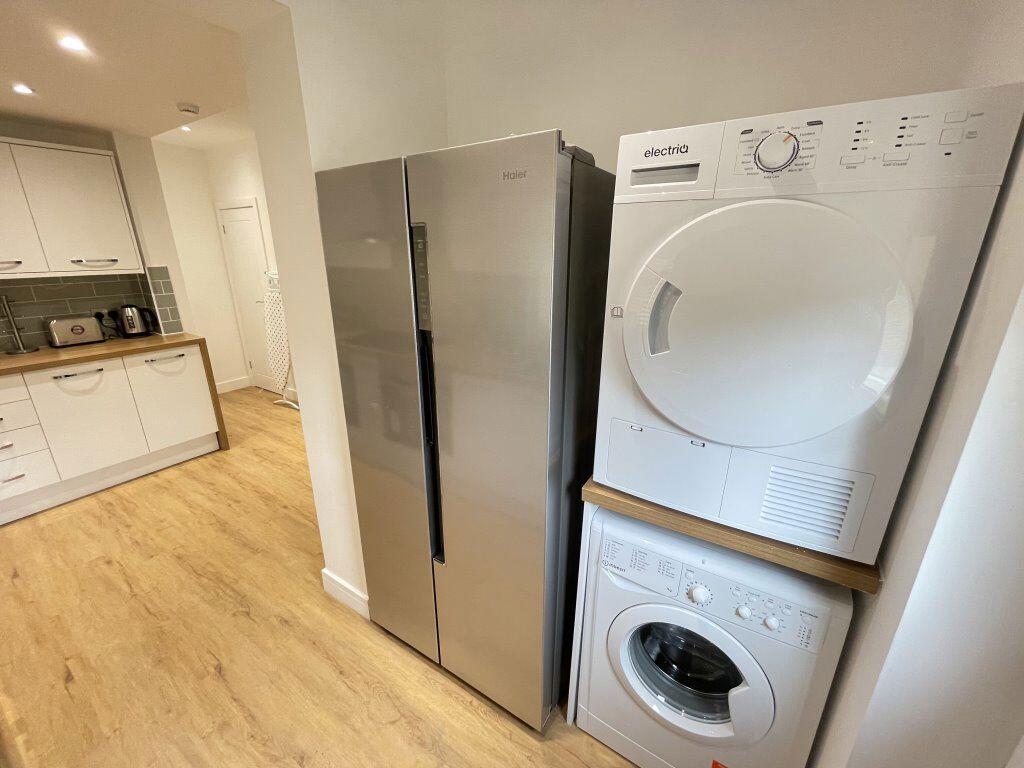
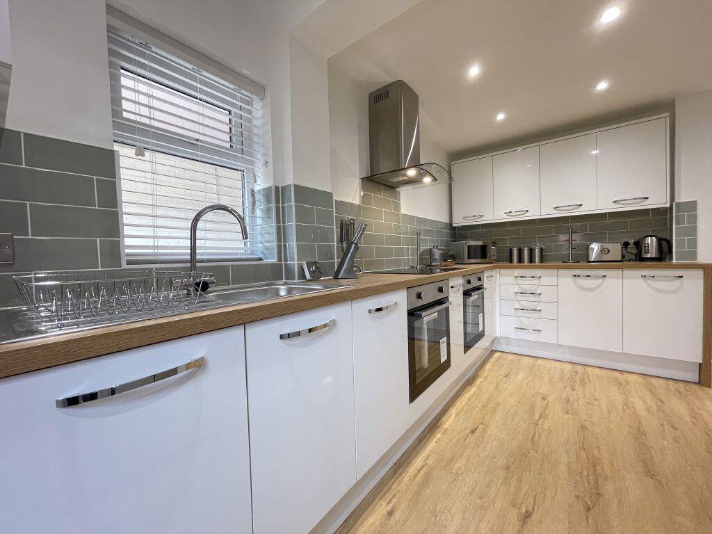
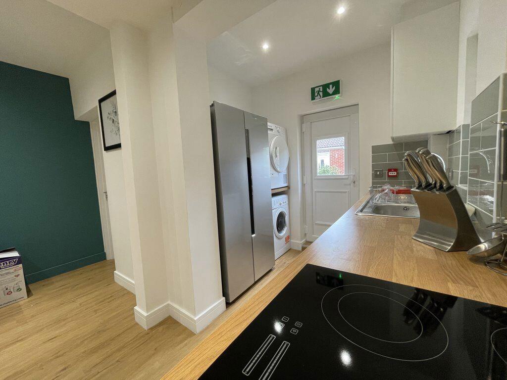

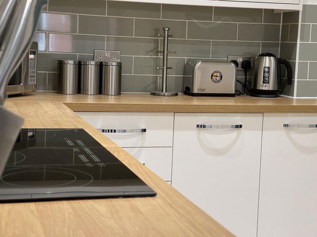
Photo 1 Photo 2 Photo 3 Photo 4 Photo 5 Photo 6 Photo 7 Photo 8 Photo 9 Photo 10 Photo 11 Photo 12
/ 12
Property details
Floor area
106 m²
Deprivation
Decile 2 (6,040 of 33,755)
Street crime
682 incidents within 1 mile (Apr 2026)
Key features
- West Town
- Room in shared house
- Furnished Property
- Gas C/H
- Sorry, No Smokers
- Sorry, No Pets Allowed
- Medium Sized Garden
- Driveway Parking Available
- 1 Bedroom
- 1 Reception
Additional details
- Parking
- Yes
- Garden
- Yes
Description
* New modern communal kitchen
* Parking available
* All bills plus Virgin Wi-Fi included
* 5 min drive from city centre
Fully furnished room, en-suite, all bills included, close to the city centre, if these are all things you are looking for then we highly recommend you book a viewing in for this brand new house share. Located on a quiet residential road and a 5 minute drive from Peterborough city centre, the whole property has been fully refurbished to meet the needs of working professionals in Peterborough.
The property has a large communal kitchen which comes fully equipped with brand new appliances. There is on-street and off-street parking available for those who own cars. If you use public transport there is a bus stop on the same road which has direct links to the city centre.
All bills and Wi-Fi are included within the rent and each room deposit is £250.
Listed by
Peterborough
Progressive Lets
Reference: 161093255
EPC Rating & Upgrade Cost
Fetching EPC data… Refresh this page in a moment.
Flood risk
Zone: 1
Risk: Low
Job (default Low)
Floorplans
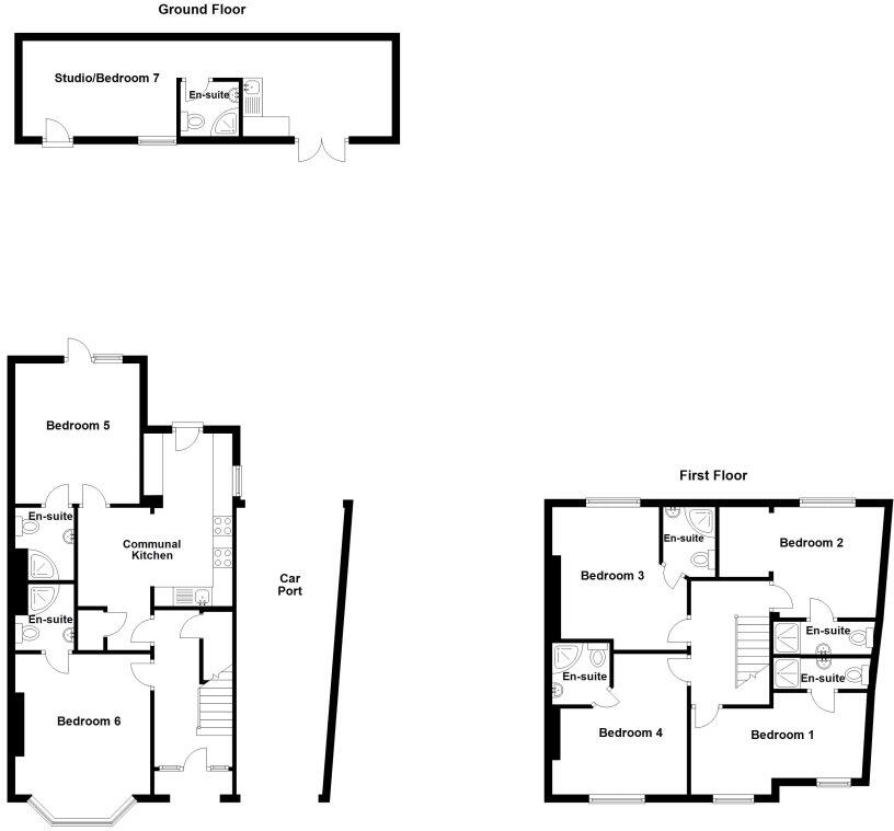
Floorplan 1
Rental Range
Estimated market rent for Peterborough. Low = conservative, Realistic = average, Optimistic = best case.
Based on Local Authority from postcode lookup → Peterborough.
LHA (30th percentile) floor for Peterborough: £573/mo (Apr 2025 – Mar 2026)
Location
Nearby
Nearest stations, universities and amenities (distance from property).
| Type | Name | Distance |
|---|---|---|
| Bus stop | Prison | 0.1 miles |
| Shop | Unknown | 0.2 miles |
| Shop | Ummah Halal Meats | 0.2 miles |
| Train station | Peterborough | 0.6 miles |
| Hospital | Peterborough City Hospital | 0.8 miles |
| University | City College Peterborough | 1.0 miles |
| Train station | Peterborough (NVR) | 1.0 miles |
| University | ARU Peterborough | 1.2 miles |
Street-level crime
| Category | Count |
|---|---|
| Violence and sexual offences | 231 |
| Anti-social behaviour | 102 |
| Shoplifting | 75 |
| Public order | 55 |
| Criminal damage and arson | 46 |
| Drugs | 39 |
| Other theft | 35 |
| Burglary | 24 |
| Vehicle crime | 22 |
| Other crime | 20 |
| Robbery | 10 |
| Bicycle theft | 9 |
| Possession of weapons | 8 |
| Theft from the person | 6 |
| Total incidents | 682 |
Within 1 mile during Apr 2026. Source: data.police.uk (England & Wales).
Schools nearby
Nearest open schools with Ofsted ratings (England). Closed schools are not shown. Data from Get Information about Schools and Ofsted.
| Name | Type | Distance | Ofsted |
|---|---|---|---|
| West Town Primary Academy | Primary | 0.3 miles | Good — 11 Sep 2017 |
| Richard Barnes Academy | Other | 0.3 miles | — (Inspected (no overall grade)) |
| Gladstone Primary Academy | Primary | 0.5 miles | Good — 5 Dec 2023 |
| The Peterborough School | Other | 0.5 miles | — (No rating) |
| The Beeches Primary School | Primary | 0.6 miles | Good — 15 Jan 2024 |
Rental Comparables
Residential lets from OpenRent and Rightmove for the area (same bedroom count). Use to validate rent estimates. Student lets are excluded.
| Title | Rent | Beds | Distance | As seen on |
|---|---|---|---|---|
| Studio Flat, Limetree Avenue, PE1 | £650/mo | 1 | 0.6 miles | OpenRent |
| Studio Flat, Lincoln Road, PE1 | £625/mo | 1 | 0.66 miles | OpenRent |
| 1 Bed Flat, Lincoln Road, PE1 | £650/mo | 1 | 0.7 miles | OpenRent |
| 1 Bed Flat, Lincoln Road, PE1 | £685/mo | 1 | 0.7 miles | OpenRent |
Average rent: £653/mo (4 listings)