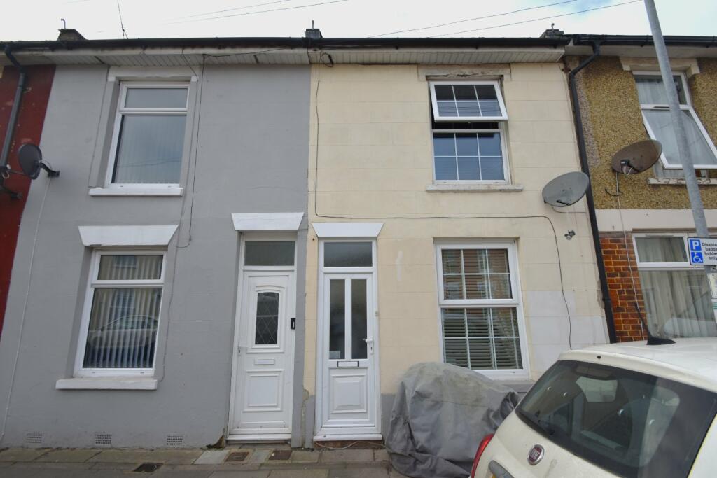
104 GUILDFORD ROAD
PORTSMOUTH, PORTSMOUTH PO1 5EB
£1,375 pcm
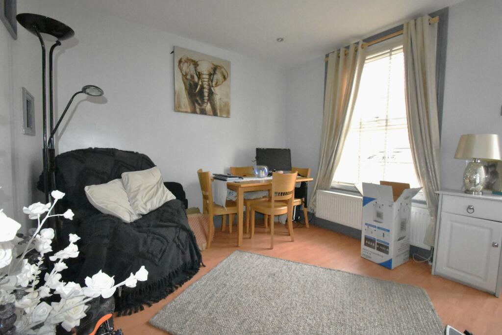
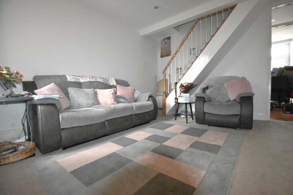
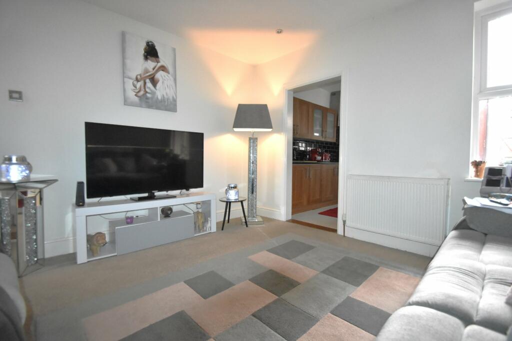
Property details
Floor area
81 m²
Council tax band
TBC
EPC rating
D
Year built
England and Wales: 1900-1929
Deprivation
Decile 3 (7,968 of 33,755)
Street crime
987 incidents within 1 mile (Apr 2026)
Key features
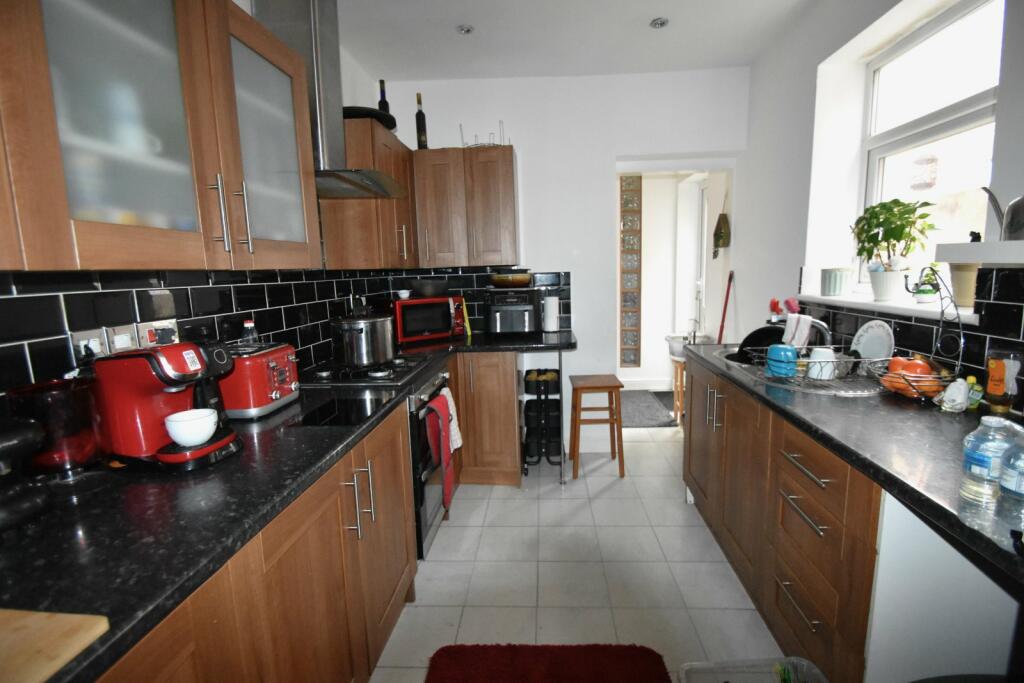
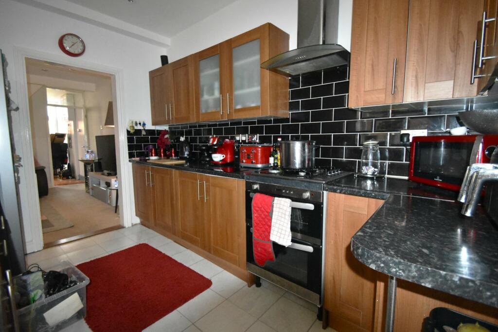
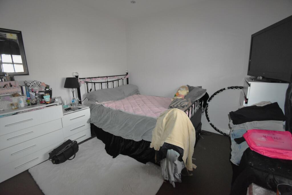
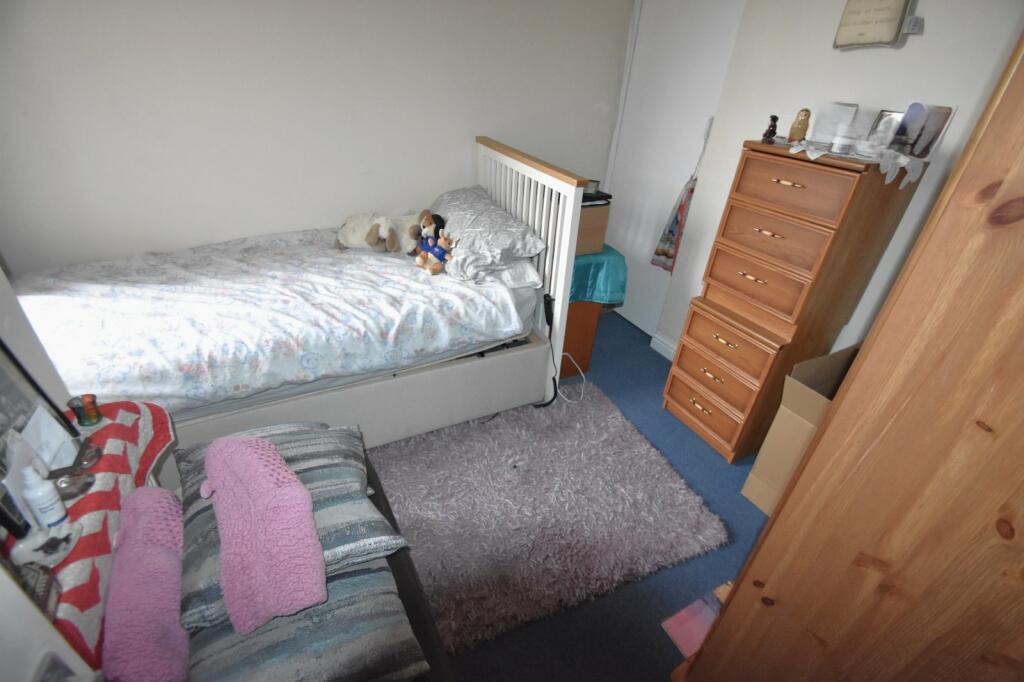
- THREE BEDROOMS
- FAMILY HOME
- TWO RECEPTION ROOMS
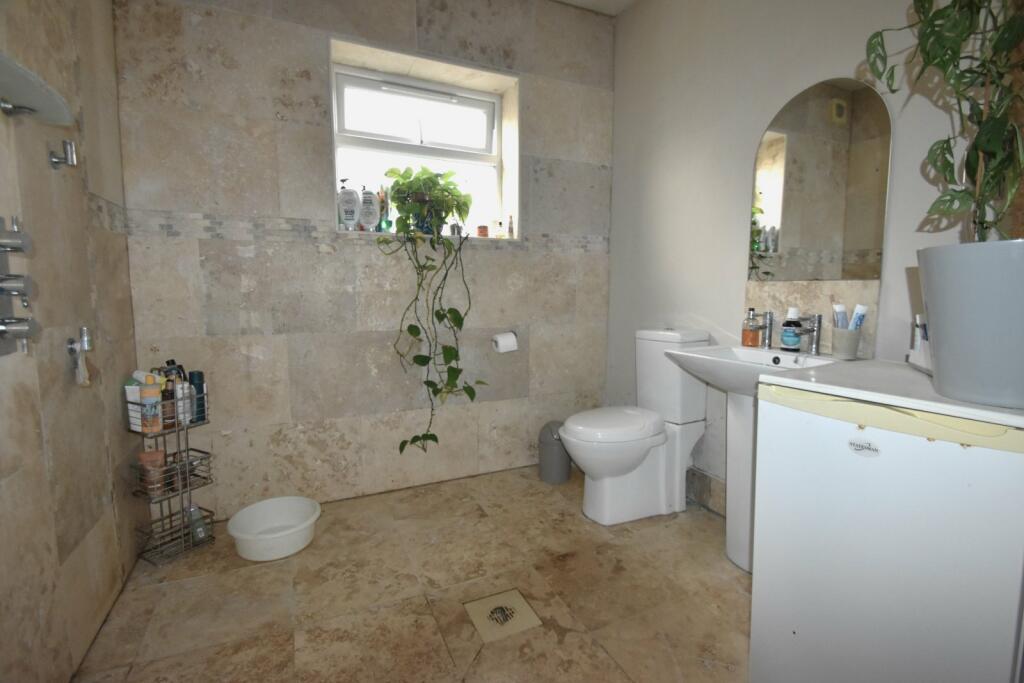
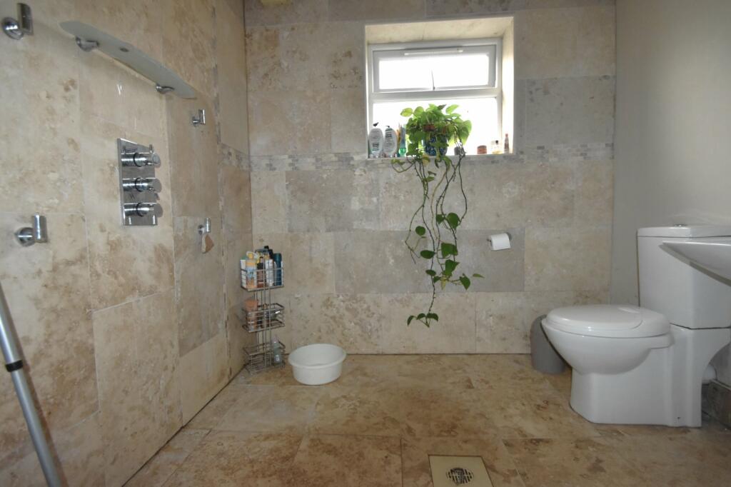
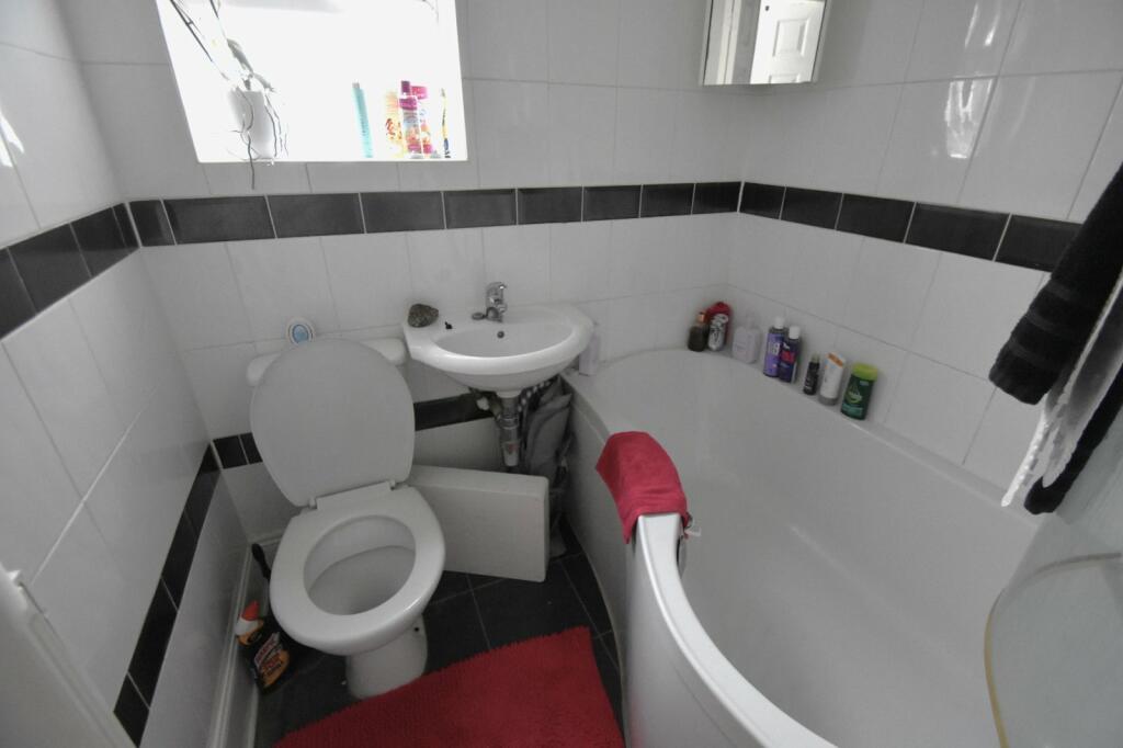
- DOWNSTAIRS WET ROOM
- UPSTAIRS BATHROOM
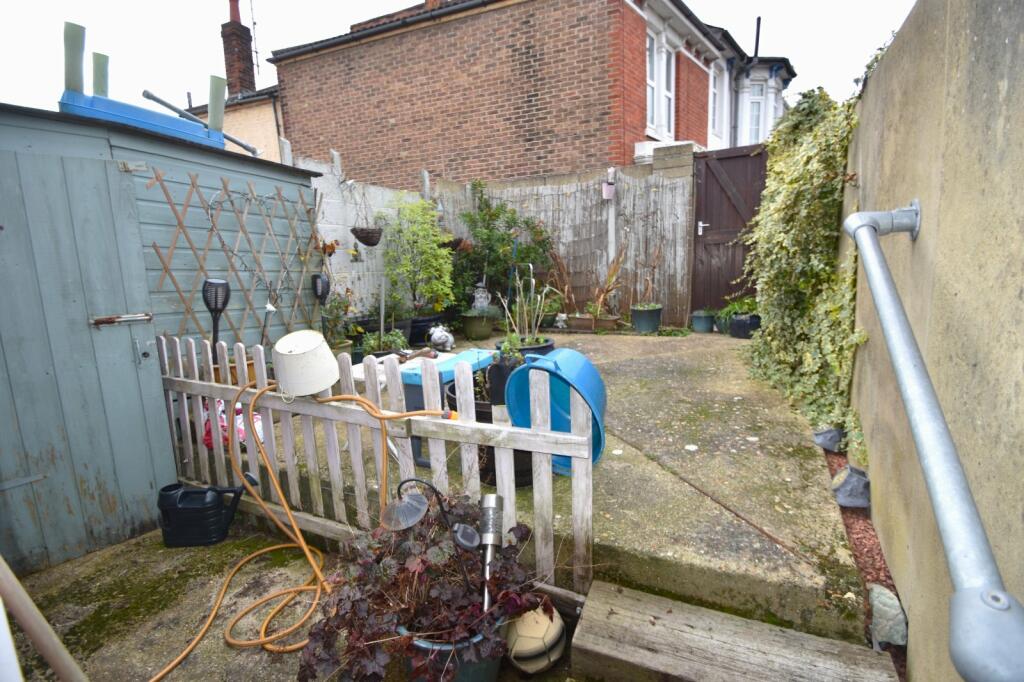
- GARDEN WITH REAR ACCESS
- GAS CENTRAL HEATING
- AVAILABLE MID DECEMBER
- EPC RATING C
- COUNCIL TAX BAND B
Additional details
- Garden
- Yes
Description
Listed by
Portsmouth
The Lomond Group
Reference: 155044682
EPC Rating & Upgrade Cost
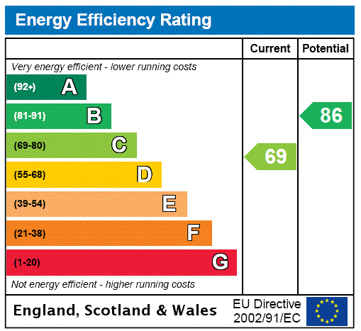
Current rating: D
Potential rating: B
Inspection date: 19/11/2024
Expiry date: 18/11/2034
Current heating cost: £703/year
Potential heating cost: £574/year
Est. upgrade cost to C: £11,580
Recommendations
- Cavity wall insulation (£500 - £1,500)
- Floor insulation (suspended floor) (£800 - £1,200)
- Low energy lighting for all fixed outlets (£80)
- Solar water heating (£4,000 - £6,000)
- Solar photovoltaic panels, 2.5 kWp (£3,500 - £5,500)
Flood risk
Zone: 1
Risk: Low
Job (default Low)
EPC Graphs
EPC Rating Graph
Rental Range
Estimated market rent for Portsmouth. Low = conservative, Realistic = average, Optimistic = best case.
Based on Local Authority from postcode lookup → Portsmouth.
LHA (30th percentile) floor for Portsmouth: £997/mo (Apr 2025 – Mar 2026)
Location
Nearby
Nearest stations, universities and amenities (distance from property).
| Type | Name | Distance |
|---|---|---|
| Shop | Handy Stores | 0.0 miles |
| Shop | Penhale News | 0.1 miles |
| Bus stop | Arundel Street | 0.2 miles |
| Train station | Fratton | 0.3 miles |
| Train station | Portsmouth and Southsea | 0.8 miles |
| University | Careers and Employability Service | 0.9 miles |
| University | St Andrew's Court Information Centre | 1.0 miles |
| Hospital | Forton Medical Centre | 3.0 miles |
| Hospital | Elmleigh Hospital | 5.9 miles |
Street-level crime
| Category | Count |
|---|---|
| Violence and sexual offences | 361 |
| Anti-social behaviour | 129 |
| Shoplifting | 99 |
| Public order | 82 |
| Other theft | 63 |
| Criminal damage and arson | 59 |
| Drugs | 57 |
| Vehicle crime | 51 |
| Other crime | 18 |
| Possession of weapons | 15 |
| Robbery | 15 |
| Burglary | 14 |
| Bicycle theft | 13 |
| Theft from the person | 11 |
| Total incidents | 987 |
Within 1 mile during Apr 2026. Source: data.police.uk (England & Wales).
Schools nearby
Nearest open schools with Ofsted ratings (England). Closed schools are not shown. Data from Get Information about Schools and Ofsted.
| Name | Type | Distance | Ofsted |
|---|---|---|---|
| Penbridge Infant School & Nursery | Primary | 0.1 miles | Good — 10 Sep 2013 |
| The Portsmouth Academy | Secondary | 0.3 miles | Good — 23 May 2017 |
| Madani Academy | Other | 0.4 miles | Good — 12 Dec 2023 |
| Arundel Court Primary Academy and Nursery | Primary | 0.4 miles | Good — 10 Jul 2015 |
| Priory School | Secondary | 0.4 miles | Good — 15 Jan 2023 |
Rental Comparables
Rental comparables are temporarily unavailable while listing-site fetches are paused. Try again later.