Bond Street
Tunstall, ST6 5HF
£750 pcm
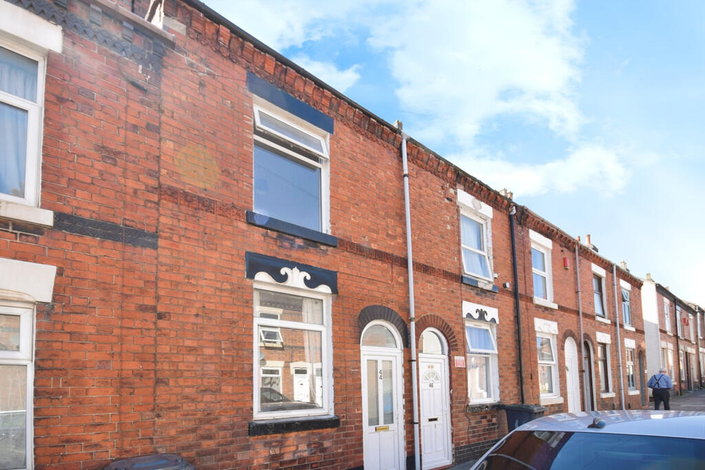
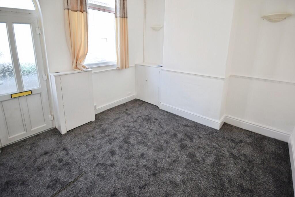
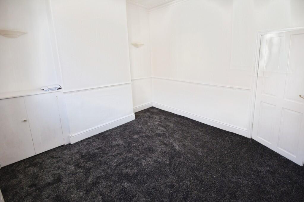
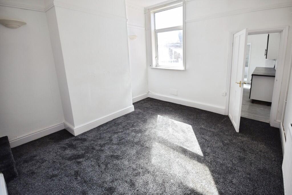
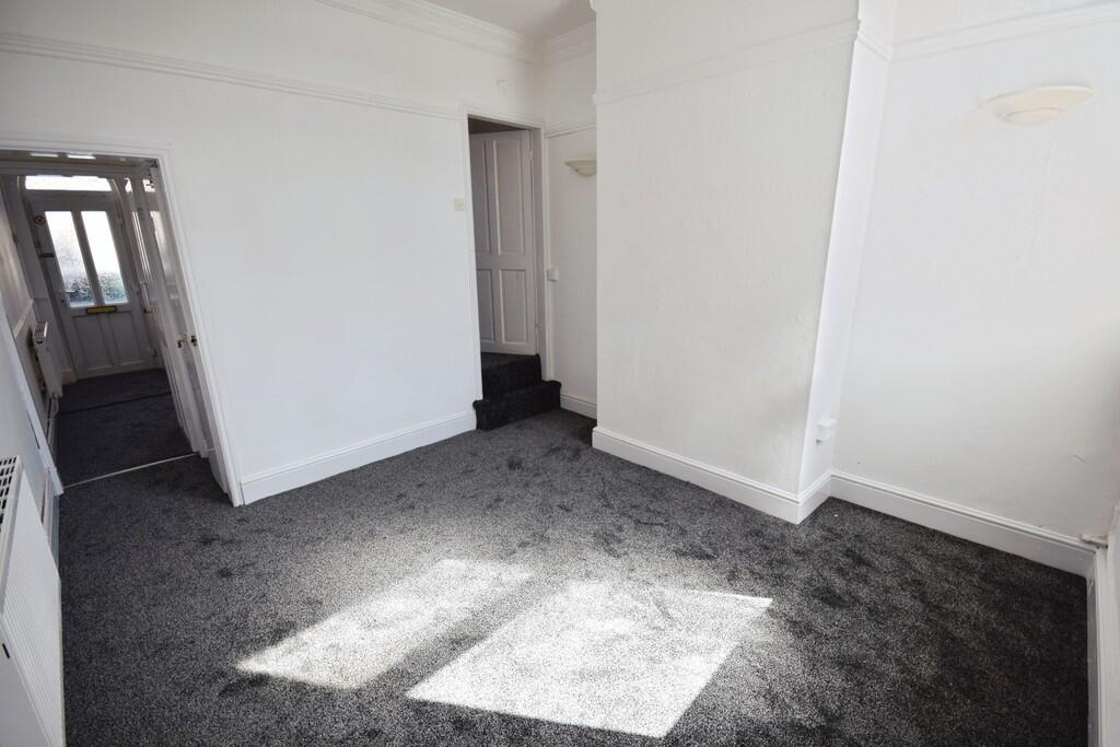
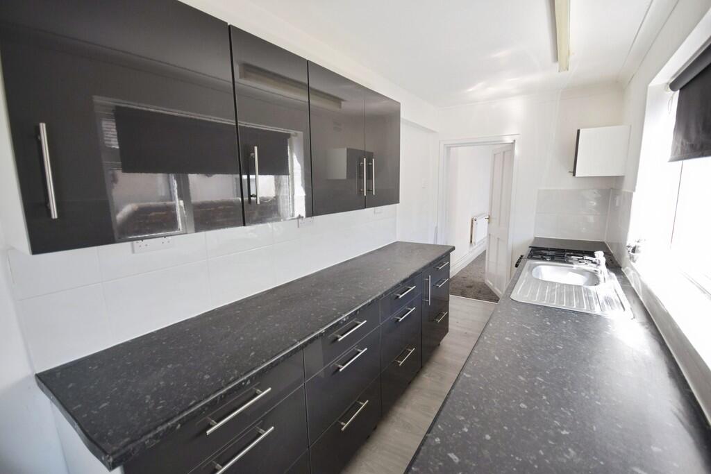
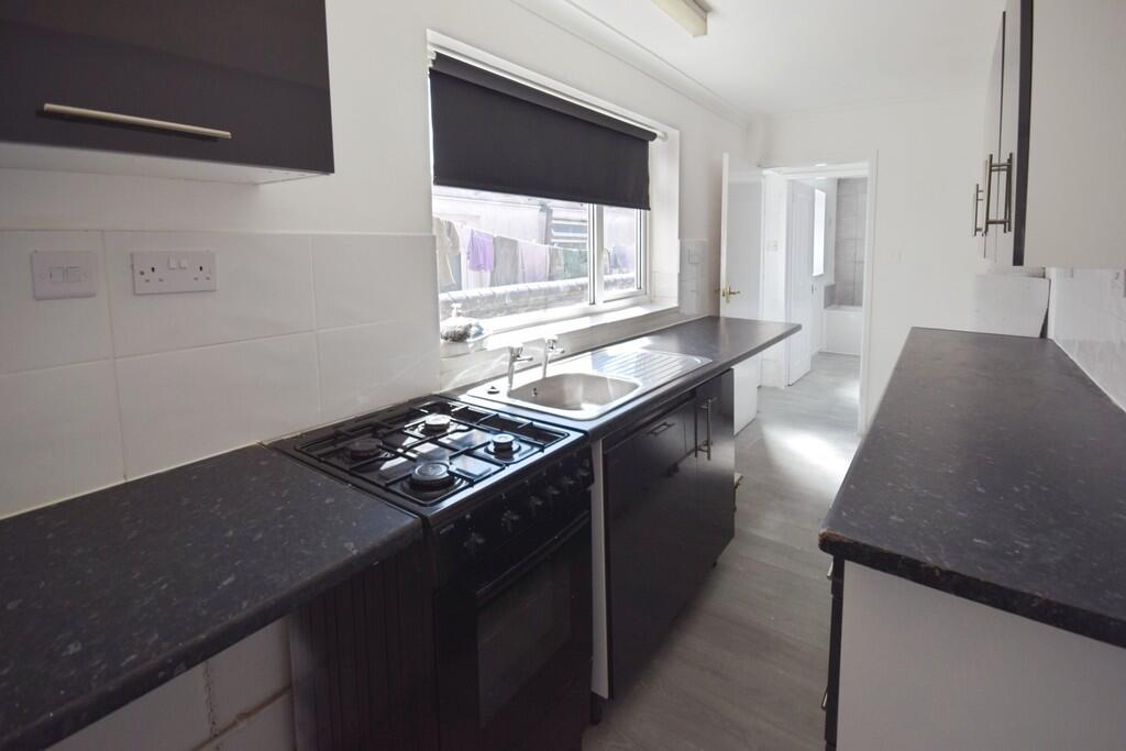
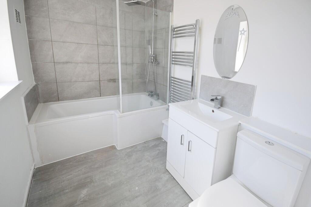
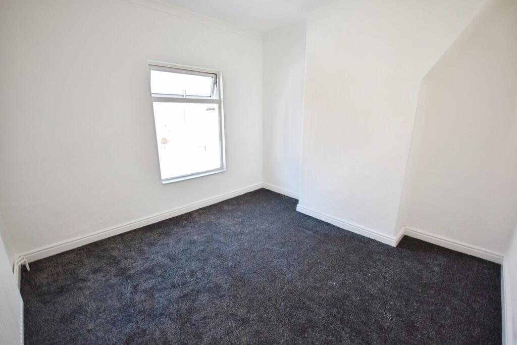
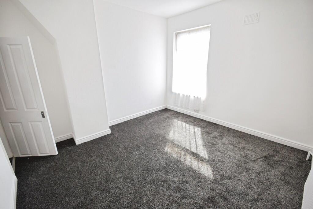
Photo 1 Photo 2 Photo 3 Photo 4 Photo 5 Photo 6 Photo 7 Photo 8 Photo 9 Photo 10
/ 10
Property details
Council tax band
A
Deprivation
Decile 1 (1,715 of 33,755)
Street crime
252 incidents within 1 mile (May 2026)
Key features
- Modernised terraced house
- 2 Reception rooms
- Kitchen
- Bathroom
- 2 Double bedrooms
- Walking distance from shops
- Council tax band A
Description
Listed by
Stoke On Trent
The Property Franchise Group
Reference: 89423346
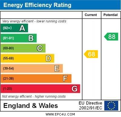
EPC ratings on this postcode
We don't have a matched EPC for this property yet. Below are efficiency scores and details for other addresses on this postcode.
| Address | Current | Potential | Floor area | Age band | Type |
|---|---|---|---|---|---|
| 10, Bond Street, STOKE-ON-TRENT | 68 | 80 | 90 m² | England and Wales: 1900-1929 | Terraced |
| 100, Bond Street, STOKE-ON-TRENT | 69 | 85 | 79 m² | England and Wales: 1900-1929 | Terraced |
| 18 Bond Street, STOKE-ON-TRENT | 65 | 83 | 82 m² | England and Wales: before 1900 | Terraced |
| 2 BOND STREET, TUNSTALL, STOKE-ON-TRENT, STOKE-ON-TRENT | 70 | 84 | 86 m² | England and Wales: before 1900 | Terraced |
| 20 Bond Street, STOKE-ON-TRENT | 75 | 80 | 83 m² | England and Wales: 1900-1929 | Terraced |
| 20, Bond Street, STOKE-ON-TRENT | 67 | 80 | 80 m² | England and Wales: before 1900 | Terraced |
| 22 Bond Street, STOKE-ON-TRENT | 67 | 84 | 86 m² | England and Wales: 1900-1929 | Terraced |
| 22, Bond Street, STOKE-ON-TRENT | 38 | 81 | 87 m² | England and Wales: 1900-1929 | Terraced |
| 24 Bond Street, STOKE-ON-TRENT | 77 | 80 | 70 m² | England and Wales: before 1900 | Terraced |
| 24, Bond Street, STOKE-ON-TRENT | 79 | 82 | 68 m² | England and Wales: before 1900 | Terraced |
| 26, Bond Street, STOKE-ON-TRENT | 73 | 88 | 69 m² | England and Wales: before 1900 | Terraced |
| 28 Bond Street, STOKE-ON-TRENT | 69 | 86 | 67 m² | England and Wales: 1900-1929 | Terraced |
| 28 BOND STREET, TUNSTALL, STOKE-ON-TRENT | 68 | 84 | 64 m² | England and Wales: 1900-1929 | Terraced |
| 32 Bond Street, STOKE-ON-TRENT | 73 | 87 | 60 m² | England and Wales: 1900-1929 | Terraced |
| 34 Bond Street, STOKE-ON-TRENT | 73 | 79 | 85 m² | England and Wales: 1900-1929 | Terraced |
Flood risk
Zone: 1
Risk: Low
Job (default Low)
EPC Graphs
EPC 1
Rental Range
Estimated market rent for Stoke-on-Trent. Low = conservative, Realistic = average, Optimistic = best case.
Based on Local Authority from postcode lookup → Stoke-on-Trent.
LHA (30th percentile) floor for Staffordshire North: £479/mo (Apr 2025 – Mar 2026)
Location
Address
Bond Street
Nearby
Nearest stations, universities and amenities (distance from property).
| Type | Name | Distance |
|---|---|---|
| Bus stop | Tunstall, Furlong Road / Medical Centre | 0.2 miles |
| Bus stop | Tunstall, High Street / Furlong Road | 0.2 miles |
| Shop | Copy-CAD | 0.3 miles |
| Shop | Vana Mini Market | 0.5 miles |
| Hospital | Haywood Hospital Walk-in Centre | 1.2 miles |
| Train station | Longport | 1.5 miles |
| Train station | Kidsgrove | 2.0 miles |
| Hospital | Royal Stoke University Hospital | 4.2 miles |
| University | Keele University | 4.9 miles |
| University | Buxton & Leek College | 8.5 miles |
Street-level crime
| Category | Count |
|---|---|
| Violence and sexual offences | 91 |
| Anti-social behaviour | 41 |
| Criminal damage and arson | 22 |
| Shoplifting | 20 |
| Public order | 19 |
| Vehicle crime | 19 |
| Other theft | 15 |
| Other crime | 9 |
| Burglary | 6 |
| Robbery | 5 |
| Drugs | 2 |
| Possession of weapons | 2 |
| Bicycle theft | 1 |
| Total incidents | 252 |
Within 1 mile during May 2026. Source: data.police.uk (England & Wales).
Schools nearby
Nearest open schools with Ofsted ratings (England). Closed schools are not shown. Data from Get Information about Schools and Ofsted.
| Name | Type | Distance | Ofsted |
|---|---|---|---|
| Summerbank Primary Academy | Primary | 0.1 miles | Good — 10 Dec 2023 |
| Active Wellbeing School | Other | 0.4 miles | Requires improvement — 29 Nov 2023 |
| St Mary's Church of England Primary School | Primary | 0.5 miles | Outstanding — 13 Jun 2024 |
| Star Academy, Sandyford | Primary | 0.6 miles | Good — 9 Nov 2022 |
| St Wilfrid's Catholic Primary School | Primary | 0.6 miles | Good — 12 Jun 2017 |
Rental Comparables
Residential lets from OpenRent and Rightmove for the area (same bedroom count). Use to validate rent estimates. Student lets are excluded.
| Title | Rent | Beds | Distance | As seen on |
|---|---|---|---|---|
| Bond Street, Tunstall | £750/mo | 2 | 0 miles | Rightmove |
| Bond Street, Stoke-on-Trent, Staffordshire, ST6 | £675/mo | 2 | 0.02 miles | Rightmove |
| Bond Street, Tunstall | £675/mo | 2 | 0.02 miles | Rightmove |
| Newfield Street, Stoke-on-trent | £700/mo | 2 | 0.05 miles | Rightmove |
| Newfield Street, Tunstall | £725/mo | 2 | 0.05 miles | Rightmove |
| 2 Bed Terraced House, Smith Child Street, ST6 | £775/mo | 2 | 0.08 miles | OpenRent |
| Bank Street, Tunstall | £700/mo | 2 | 0.09 miles | Rightmove |
| Hawes Street, ST6 | £750/mo | 2 | 0.15 miles | Rightmove |
| Madison Street, Stoke-on-Trent | £750/mo | 2 | 0.16 miles | Rightmove |
| Nash Peake Street, Stoke-On-Trent, ST6 | £700/mo | 2 | 0.29 miles | Rightmove |
| High Street, Tunstall | £550/mo | — | 0.57 miles | Rightmove |
| King William Street, Tunstall | £750/mo | 2 | 0.65 miles | Rightmove |
| Railway Street, Stoke-on-Trent, ST6 | £700/mo | 2 | 0.7 miles | Rightmove |
| Greenhead Street, Burslem, Stoke-on-Trent, Staffordshire, ST6 | £695/mo | 2 | 1.28 miles | Rightmove |
| Rockingham Court, Burslem, Stoke-on-Trent | £700/mo | 2 | 1.32 miles | Rightmove |
| Ellgreave Street, Stoke-on-Trent, Staffordshire, ST6 | £750/mo | 2 | 1.32 miles | Rightmove |
| Sant Street, Burslem, Stoke on Trent | £750/mo | 2 | 1.35 miles | Rightmove |
| Leigh Street, Stoke-On-Trent | £725/mo | 2 | 1.39 miles | Rightmove |
| St Pauls Street, Burslem, Stoke on Trent | £725/mo | 2 | 1.39 miles | Rightmove |
| Hamil Road, Burslem | £795/mo | 2 | 1.4 miles | Rightmove |
Average rent: £745/mo (37 listings)
Enter House Number
Enter the house number to help us retrieve more accurate pricing history and property data.
Please log in to submit or correct the house number for this listing.
Log in to continue