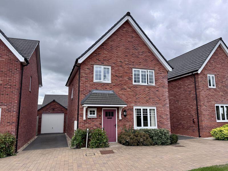
4 LEWIS WAY
CONGLETON, CHESHIRE WEST AND CHESTER CW12 2PZ
£1,700 pcm
Property details
Council tax band
D
Deprivation
Decile 7 (23,560 of 33,755)
Street crime
74 incidents within 1 mile (Apr 2026)
Key features
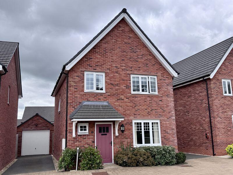
- MODERN DETACHED FAMILY HOME
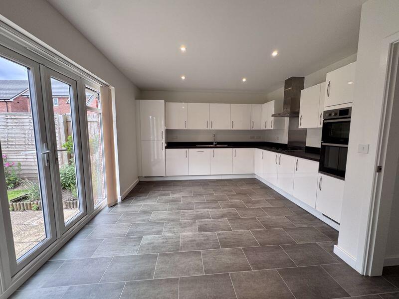
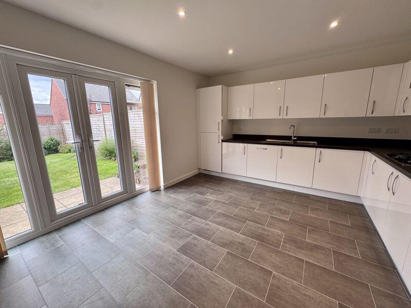
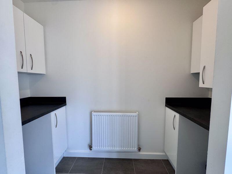
- CONTEMPORARY OPEN PLAN KITCHEN DINER PLUS UTILITY SPACE
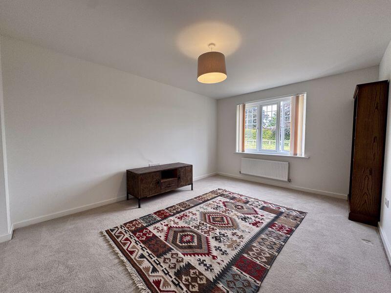
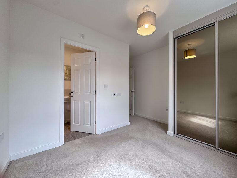
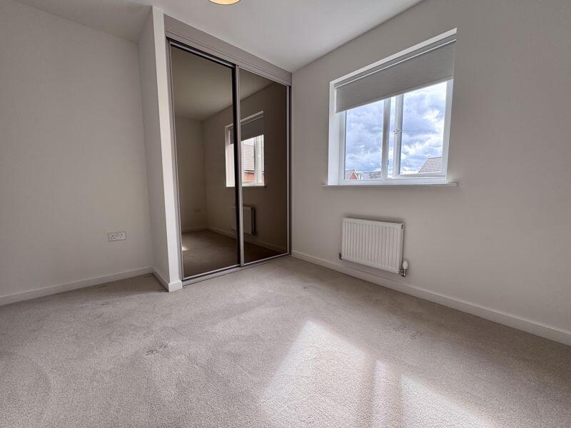
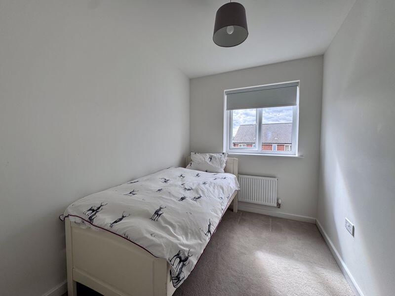
- FOUR GENEROUS BEDROOMS
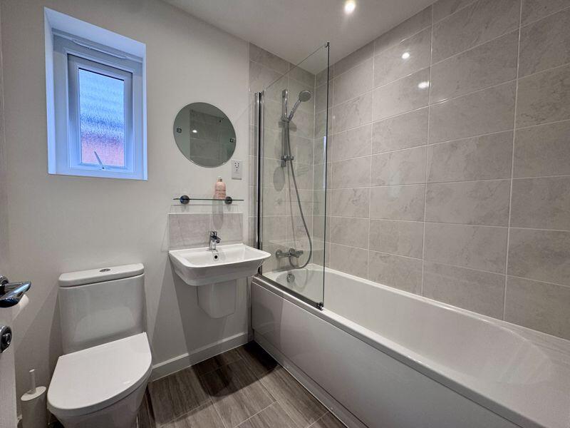
- BATHROOM & ENSUITE
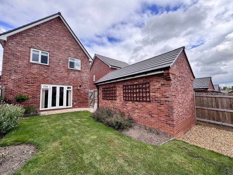
- PRIVATE DRIVEWAY & DETACHED GARAGE
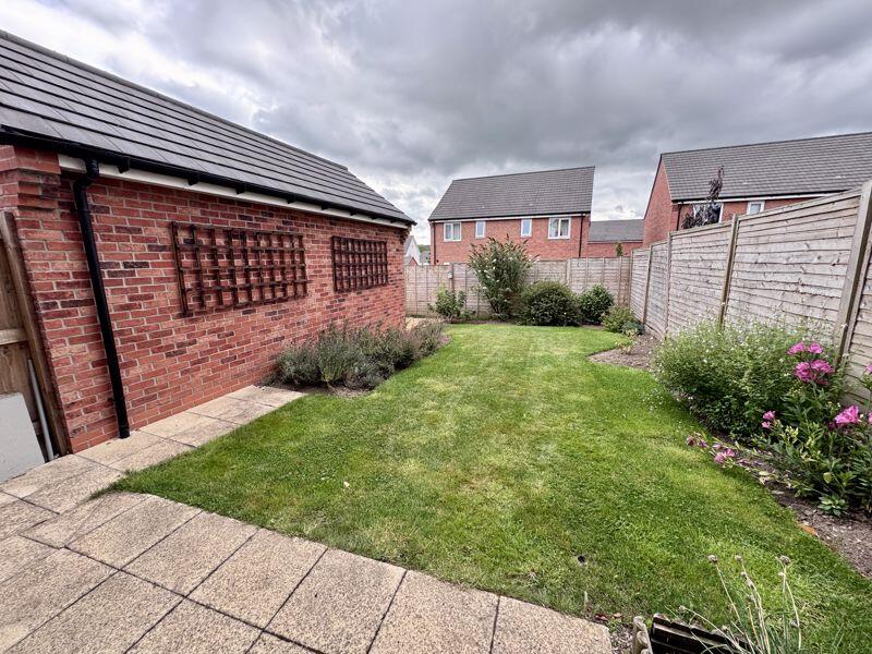
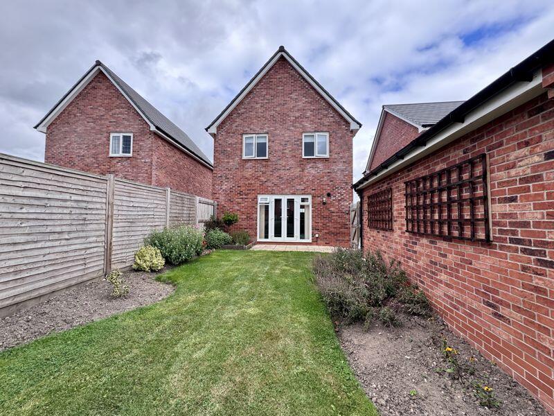
- ENCLOSED REAR GARDEN
Additional details
- Parking
- Yes
- Garden
- Yes
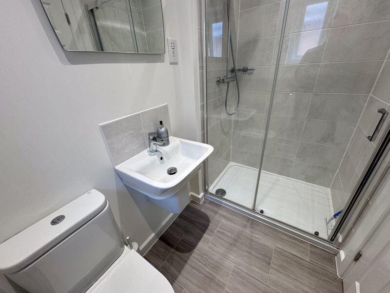
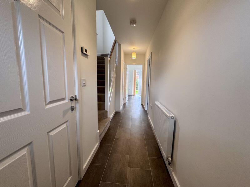
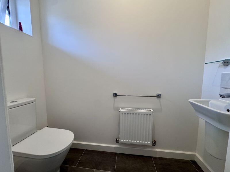
Description
Listed by
Congleton
Timothy A Brown Ltd
Reference: 89754330
Flood risk
Zone: 1
Risk: Low
Job (default Low)
EPC Graphs

Energy Performance Certificate
Rental Range
Estimated market rent for Cheshire East. Low = conservative, Realistic = average, Optimistic = best case.
Based on Local Authority from postcode lookup → Cheshire East.
LHA (30th percentile) floor for Oldham & Rochdale: £947/mo (Apr 2025 – Mar 2026)
Location
Nearby
Nearest stations, universities and amenities (distance from property).
| Type | Name | Distance |
|---|---|---|
| Bus stop | Buglawton, Buxton Road / St John's Road (E) | 0.0 miles |
| Bus stop | Buglawton, Pirie Road / Davidson Avenue | 0.1 miles |
| Shop | JP Stores | 0.5 miles |
| Shop | No.62 Artisan Bakehouse | 0.5 miles |
| Train station | Congleton | 1.0 miles |
| Train station | Hunthouse Wood | 5.0 miles |
| Hospital | John Munroe Hospital | 5.4 miles |
| Hospital | Rosemount Resource Centre | 6.4 miles |
| University | Buxton & Leek College | 8.1 miles |
| University | Tovell Building, Buxton & Leek College | 8.1 miles |
Street-level crime
| Category | Count |
|---|---|
| Violence and sexual offences | 37 |
| Public order | 12 |
| Criminal damage and arson | 6 |
| Burglary | 4 |
| Vehicle crime | 4 |
| Anti-social behaviour | 3 |
| Drugs | 3 |
| Other theft | 2 |
| Bicycle theft | 1 |
| Other crime | 1 |
| Shoplifting | 1 |
| Total incidents | 74 |
Within 1 mile during Apr 2026. Source: data.police.uk (England & Wales).
Schools nearby
Nearest open schools with Ofsted ratings (England). Closed schools are not shown. Data from Get Information about Schools and Ofsted.
| Name | Type | Distance | Ofsted |
|---|---|---|---|
| Buglawton Primary School | Primary | 0.3 miles | — (Inspected (no overall grade)) |
| Havannah Primary School | Primary | 0.5 miles | — (Inspected (no overall grade)) |
| Esland Daven School | Other | 0.6 miles | Requires improvement — 6 Mar 2024 |
| Eaton Bank Academy | Secondary | 0.7 miles | Good — 8 Jun 2015 |
| Daven Primary School | Primary | 1.1 miles | Requires improvement — 8 Nov 2023 |
Rental Comparables
Residential lets from OpenRent and Rightmove for the area (same bedroom count). Use to validate rent estimates. Student lets are excluded.
| Title | Rent | Beds | Distance | As seen on |
|---|---|---|---|---|
| Lewis Way, Congleton | £1,700/mo | 4 | 0 miles | Rightmove |
| Walfield Avenue, Congleton, CW12 | £2,200/mo | 4 | 1.08 miles | Rightmove |
| Quayside, Congleton, CW12 | £1,600/mo | 4 | 1.22 miles | Rightmove |
| Hillside Farmhouse, Cloudside, Congleton, CW12 3QG | £2,000/mo | 4 | 1.93 miles | Rightmove |
| Watery Lane, Astbury, Congleton | £3,750/mo | 4 | 2.73 miles | Rightmove |
| Field View Road, Congleton, CW12 | £1,400/mo | 4 | 2.73 miles | Rightmove |
| Chelford Road, Somerford, CW12 | £2,995/mo | 4 | 2.78 miles | Rightmove |
Average rent: £2,235/mo (7 listings)