40 FIR TREE AVENUE
KNUTSFORD, CHESHIRE EAST WA16 8NF
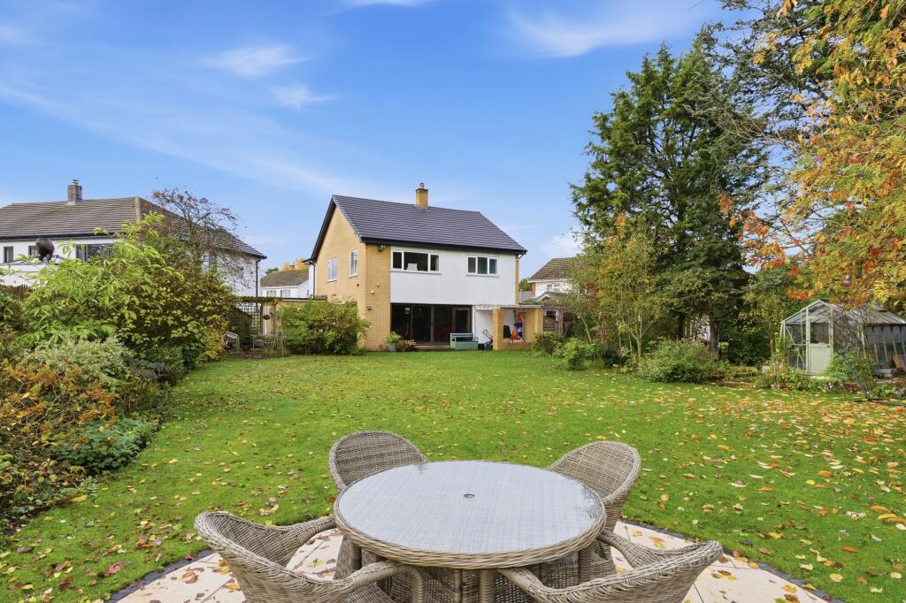
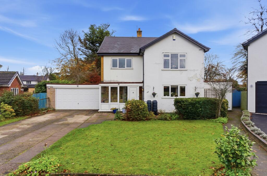
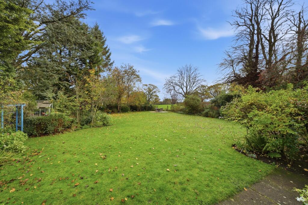
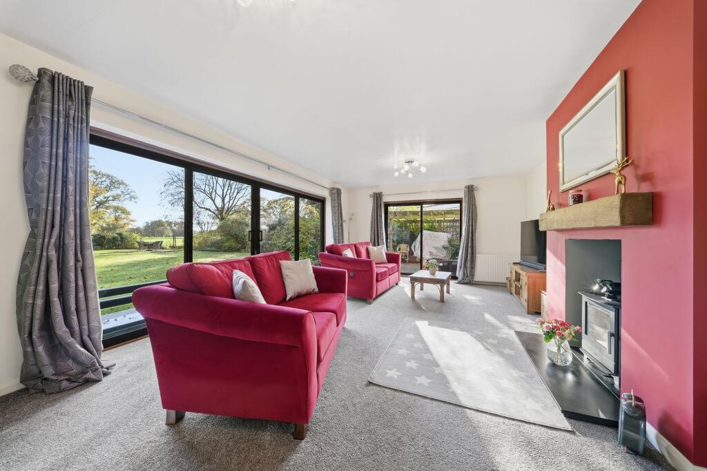
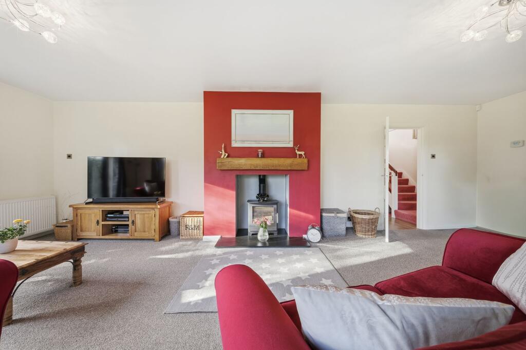
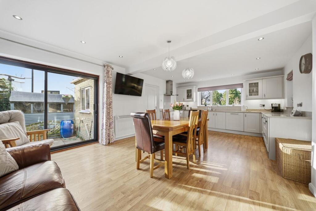
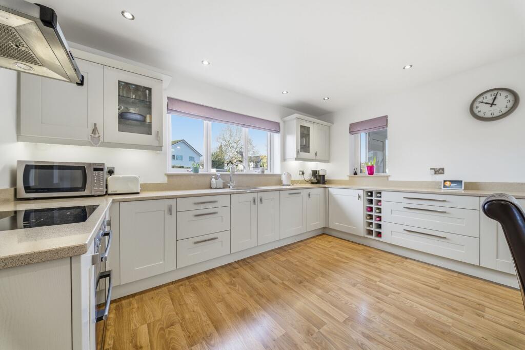
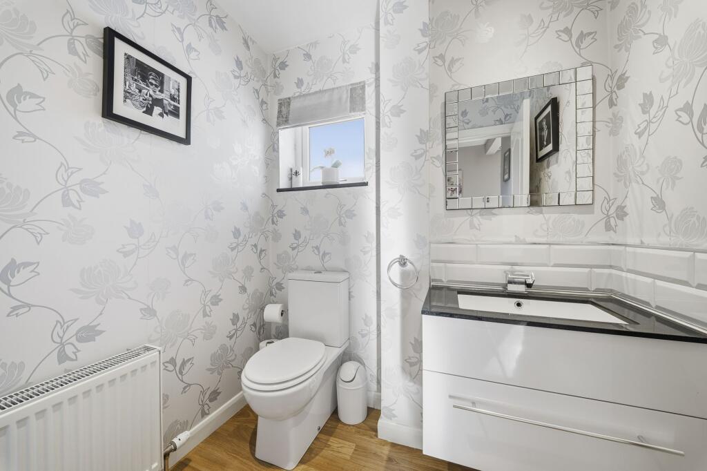
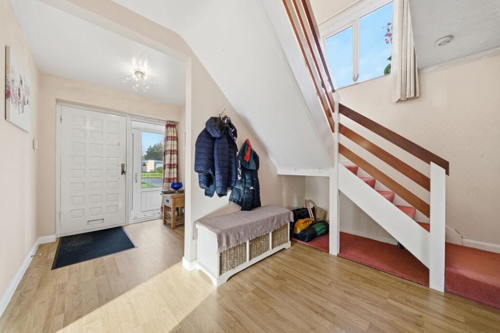
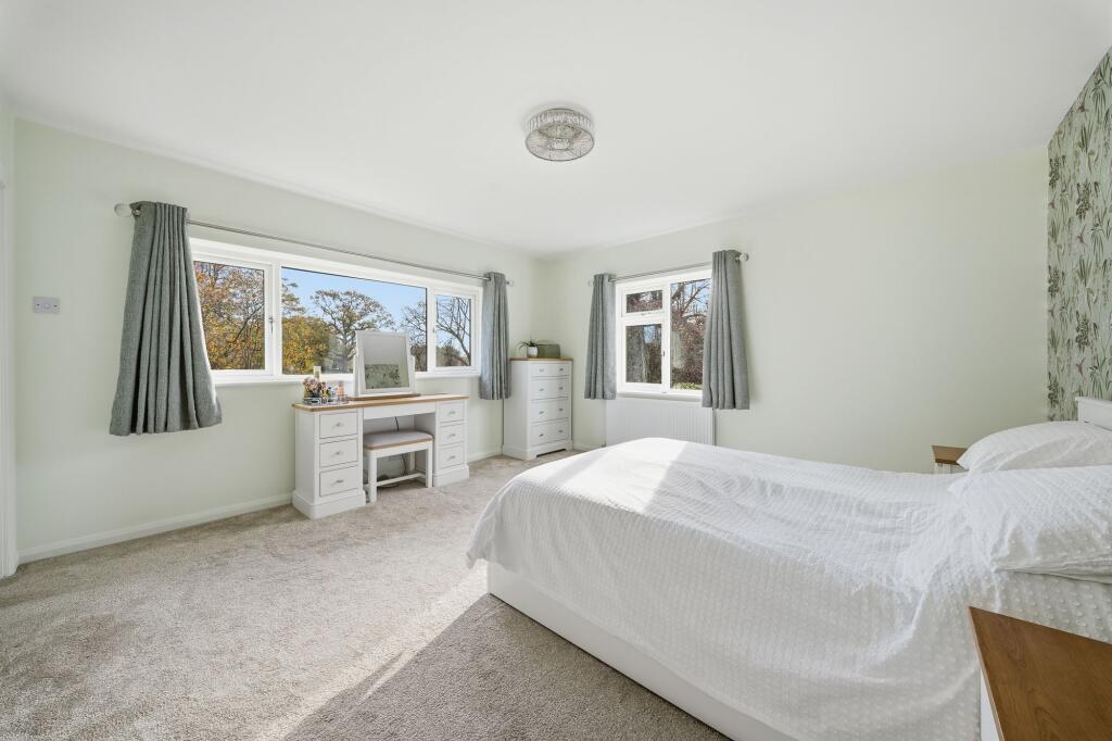
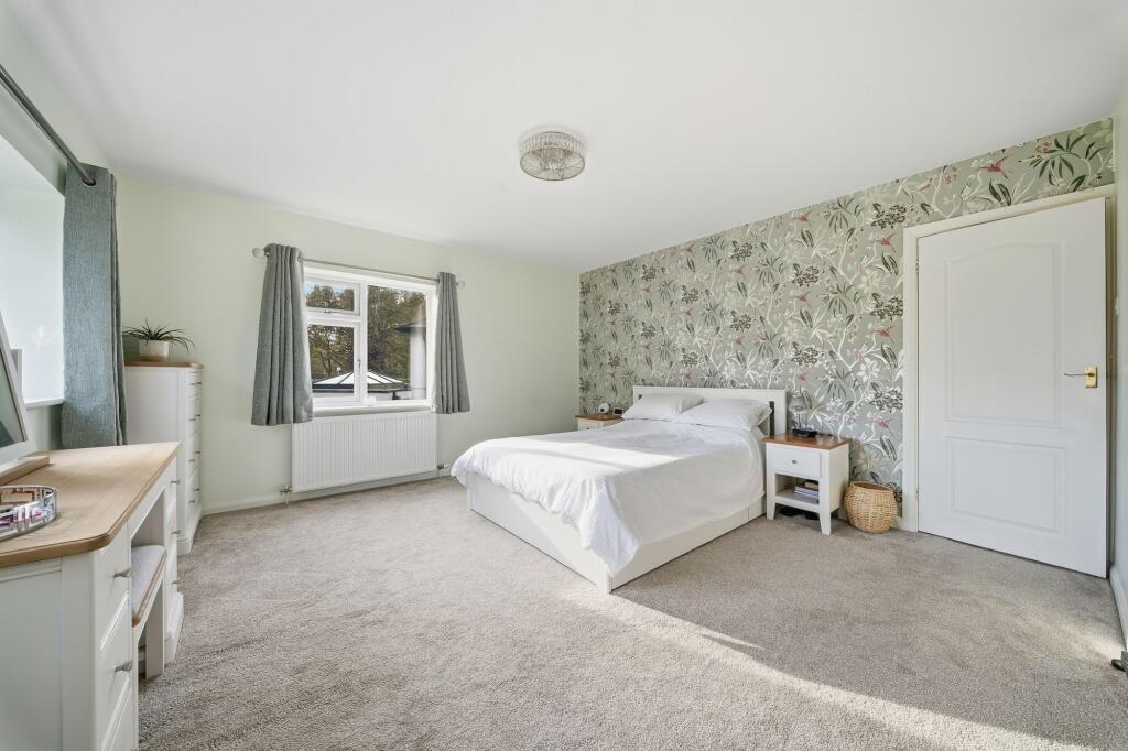
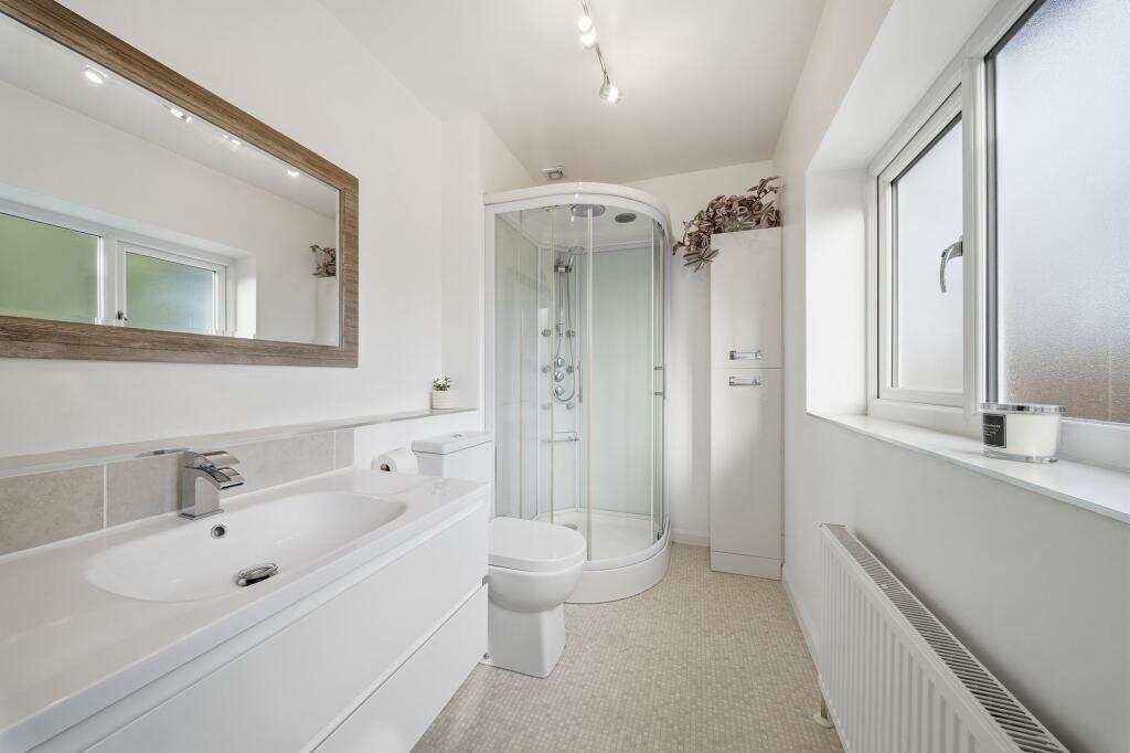
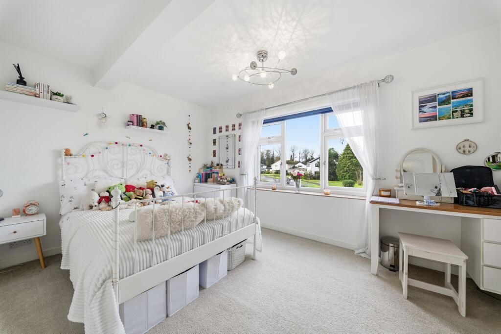
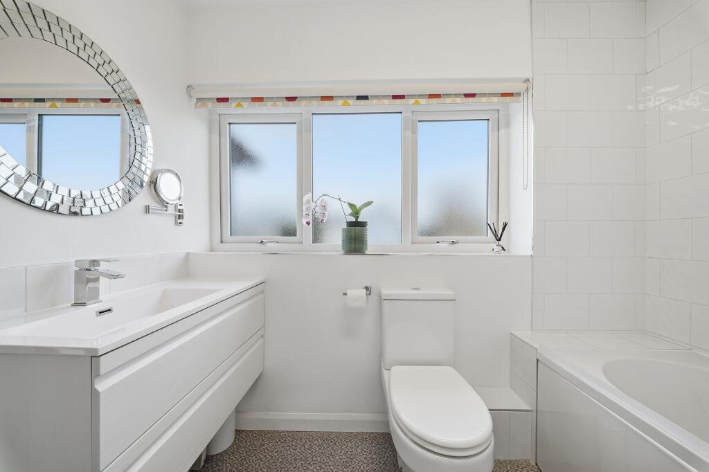
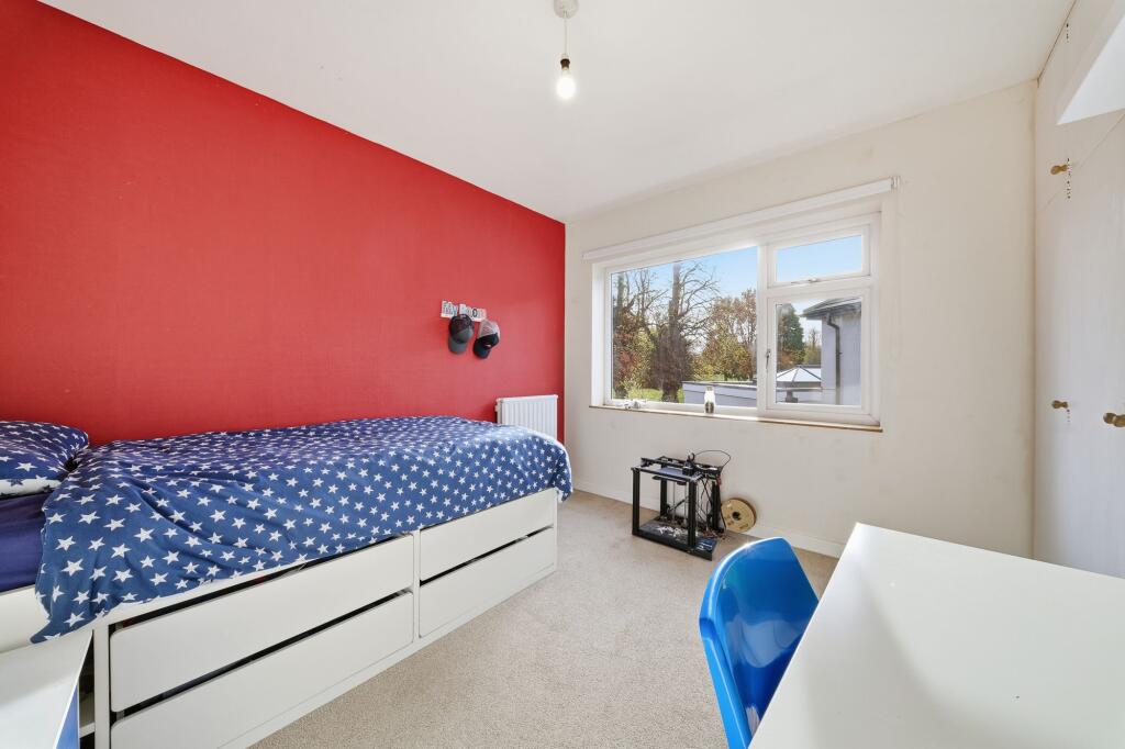
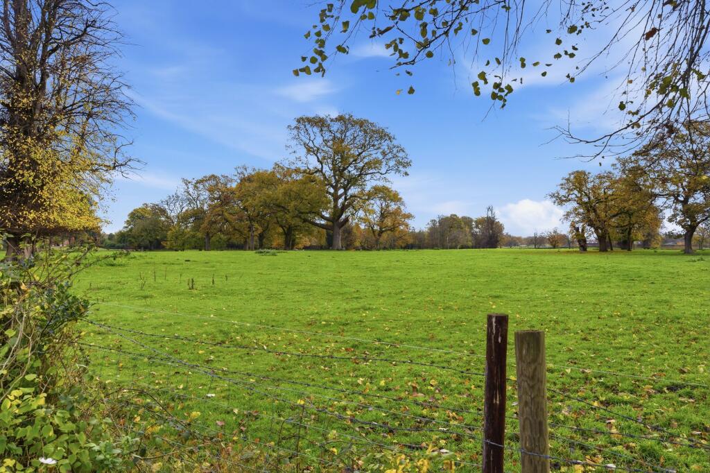
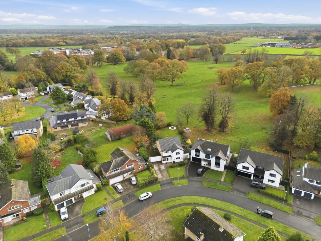
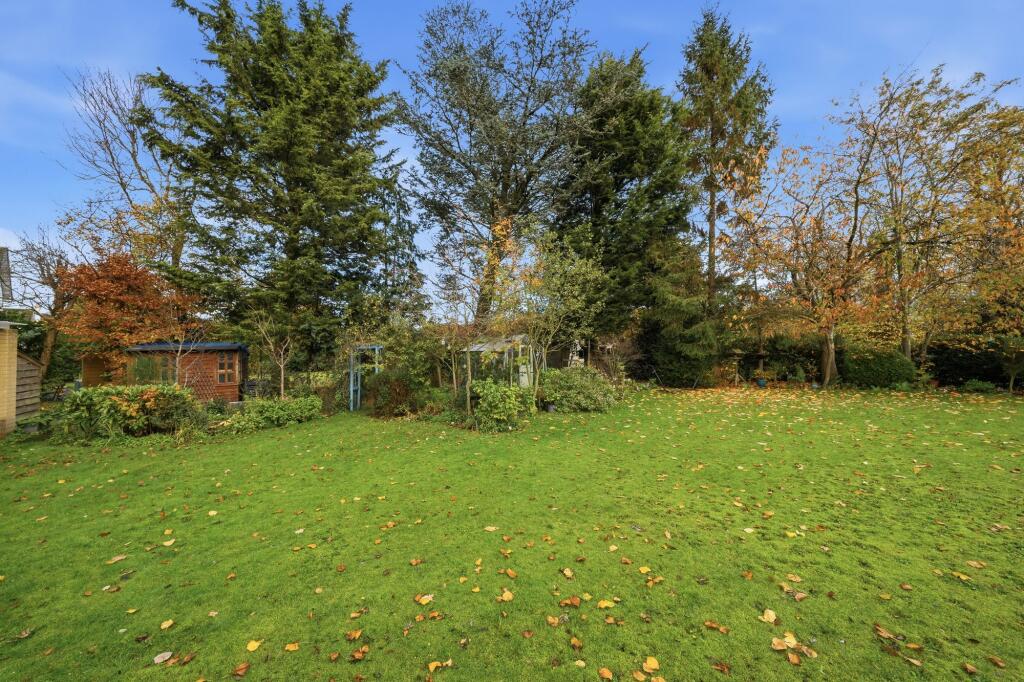
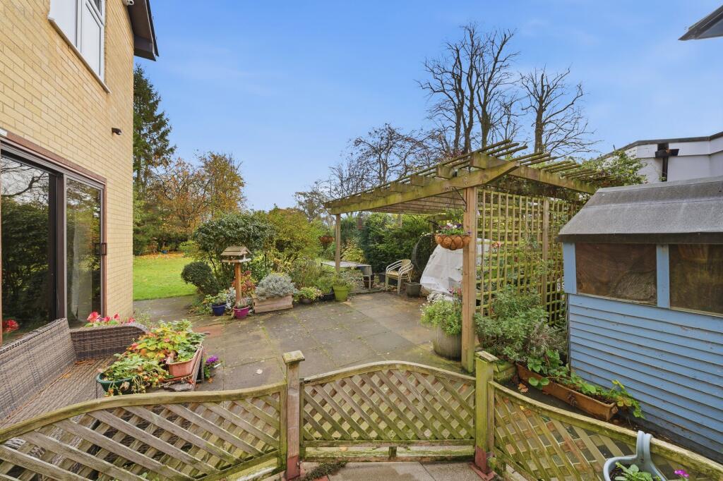
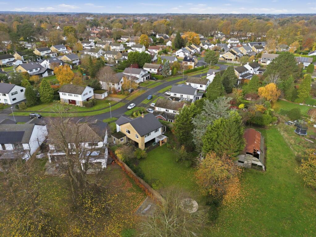
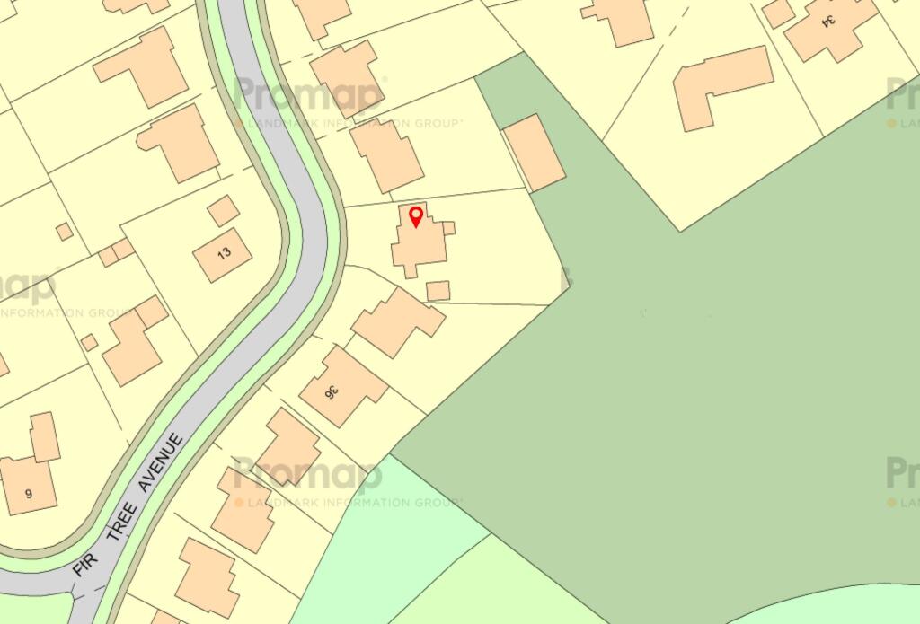
Photo 1 Photo 2 Photo 3 Photo 4 Photo 5 Photo 6 Photo 7 Photo 8 Photo 9 Photo 10 Photo 11 Photo 12 Photo 13 Photo 14 Photo 15 Photo 16 Photo 17 Photo 18 Photo 19 Photo 20 Photo 21
/ 21
Property details
Tenure
FREEHOLD
Floor area
170 m²
Council tax band
G
Last sold
£555,000 Nov 2013
Local average
£844,904 (+12.4%)
Deprivation
Decile 10 (33,693 of 33,755)
Street crime
49 incidents within 1 mile (May 2026)
Key features
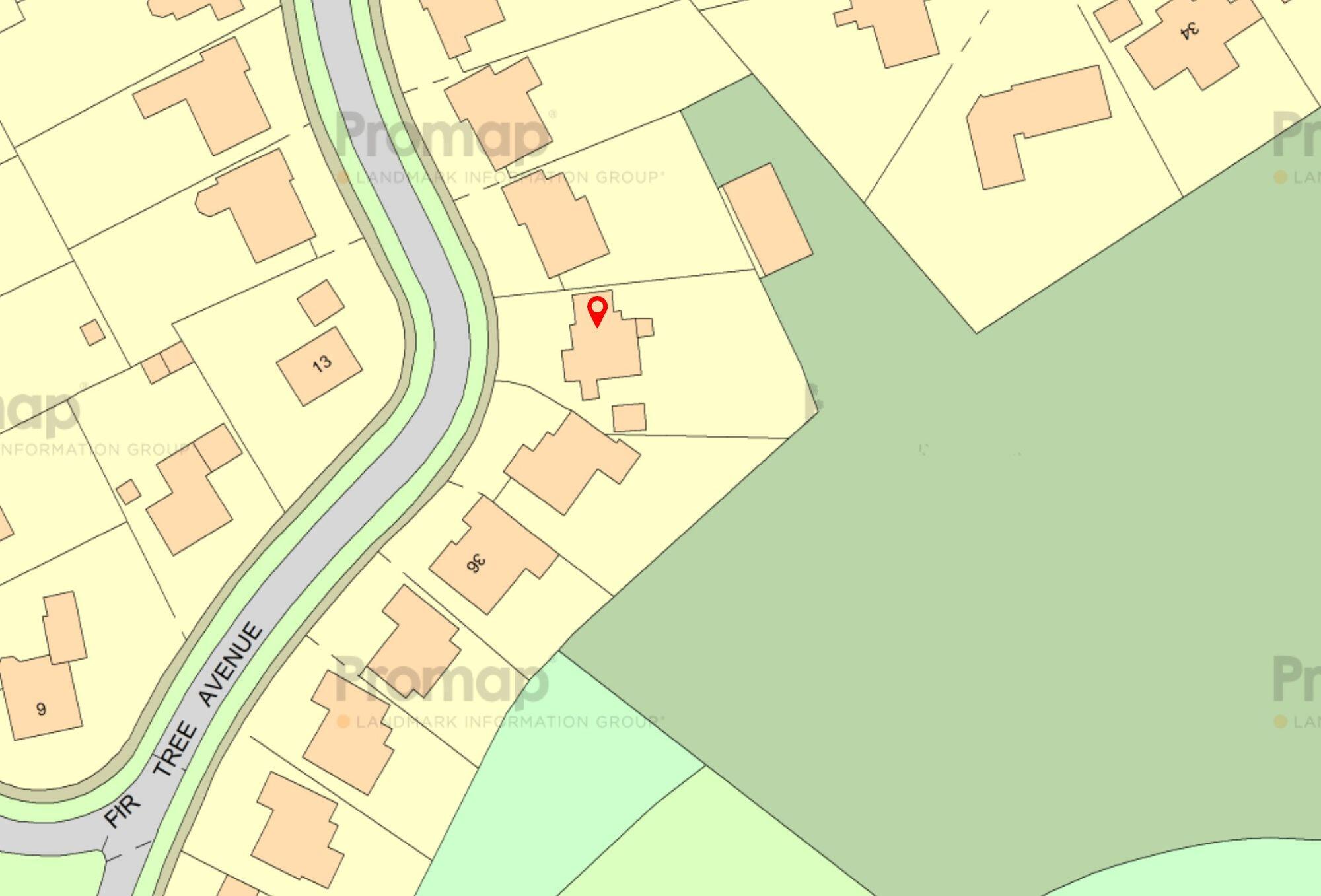
- One of the finest plots on Fir Tree Avenue, just under 1/4 acre
- Exceptional views across the fields toward Toft Cricket Club
- A fabulously mature plot with great potential for extension (STPP) as most of the neighbouring properties have
- One of the more popular styles on the development, providing well balanced accommodation and a good layout for extension
- Four bedrooms and two modern bathrooms, plus a recently updated dining kitchen
- A prime position within the town, on the edge of the Legh Road conservation area
Additional details
- Electricity
- Mains supply
- Broadband
- FTTC (fibre to the cabinet)
- Water
- Mains supply
- Sewerage
- Mains supply
- Heating
- Gas central, Wood burner
- Parking
- Garage, Driveway
- Garden
- Front garden, Rear garden
- Listed property
- No
- Restrictions
- No
- Required access
- No
- Rights of way
- No
- Flooded in last 5 years
- No
- Flood defences
- No
Description
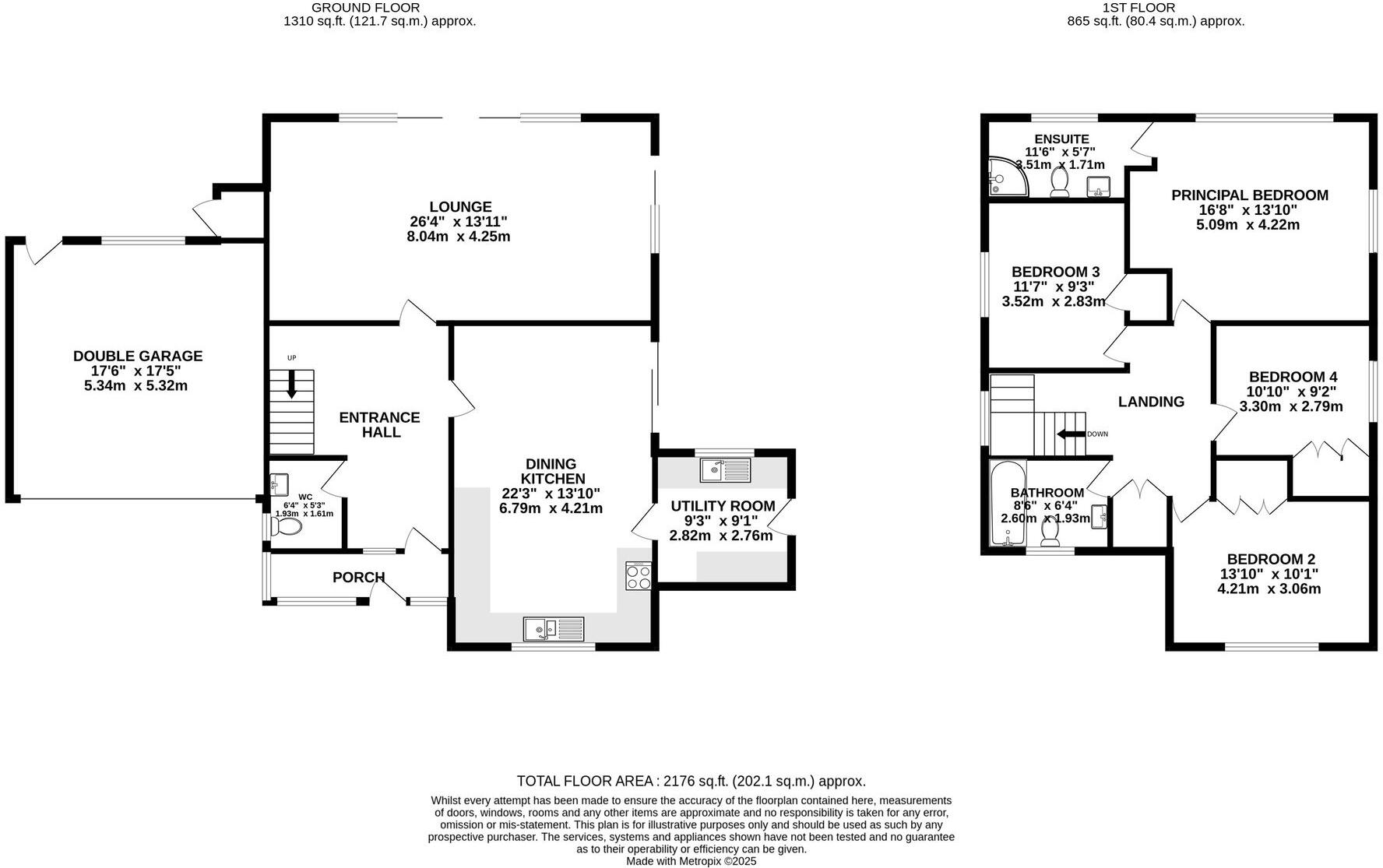
This is one of the development’s most popular house designs, offering well-balanced accommodation and a layout that lends itself superbly to further enhancement if desired. The interior includes four bedrooms and two modern bathrooms, complemented by a recently updated dining kitchen which forms a welcoming heart to the home. The ground floor comprises a porch, welcoming entrance hall with a downstairs WC, a generously proportioned dining kitchen with a utility room and a large lounge sitting across the rear enjoying views over the garden and a log burning stove. The first floor comprises a large landing, a spacious principal bedroom and modern ensuite bathroom to the rear of the property, three further well-proportioned bedrooms and a modern family bathroom.
The frontage includes a driveway for two or three vehicles, leading upto a double garage. The rear garden is superb, truly superb, and enjoys great privacy, open views and potential. Not to mention day-long sunshine, thanks to its aspect and size.
Positioned in a prime location within Knutsford, the property is on the fringe of the prestigious Legh Road Conservation Area—giving convenient access to the town centre, scenic walks, well-regarded schooling, and transport connections, while enjoying a peaceful, semi-rural outlook.
A rare opportunity to secure a generously proportioned home on a standout plot in one of Knutsford’s most sought-after residential settings.
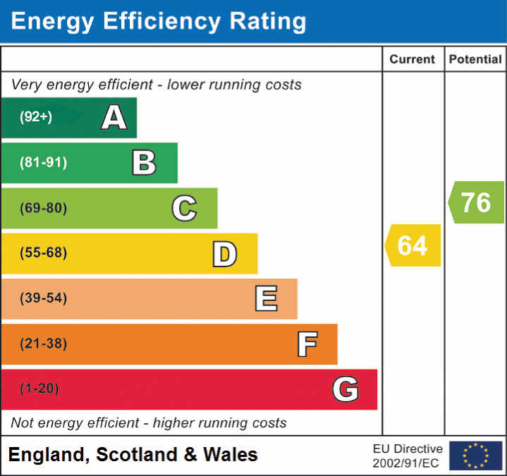
EPC Rating: D
Listed by
Knutsford
Stuart Rushton & Co
Reference: 169328843
EPC Rating & Upgrade Cost
Fetching EPC data… Refresh this page in a moment.
Flood risk
Zone: 1
Risk: Low
Job (default Low)
Floorplans
All
Site Plan
EPC Graphs
EPC 1
FENSA Certificates
This property has 3 FENSA certificate(s) on record, indicating window/door installations by FENSA-approved installers.
FENSA Certificate #10082029
Property Details
Street: 40 Fir Tree Avenue
Town: KNUTSFORD
Postcode: WA16 8NF
Installation Details
Items: 11 windows
Certificate Issued: 03/02/2014
Work Completed: 20/01/2014
This certificate data was retrieved from FENSA's database
FENSA Certificate #7431873
Property Details
Street: 40 Fir Tree Avenue
Town: KNUTSFORD
Postcode: WA16 8NF
Installation Details
Items: 1 window
Certificate Issued: 10/06/2010
Work Completed: 19/05/2010
This certificate data was retrieved from FENSA's database
FENSA Certificate #4906789
Property Details
Street: 40 Fir Tree Avenue
Town: KNUTSFORD
Postcode: WA16 8NF
Installation Details
Items: 3 doors
Certificate Issued: 30/07/2007
Work Completed: 09/07/2007
This certificate data was retrieved from FENSA's database
What is FENSA? FENSA (Fenestration Self-Assessment Scheme) is a government-authorised scheme that monitors building regulation compliance for replacement windows and doors. Certificates indicate that work was completed by FENSA-approved installers.
Price history
| Event | Date | Price | % change |
|---|---|---|---|
| Listed for sale | — | £950,000 | +71.2% |
| Sold | 27/11/2013 (12 years ago) | £555,000 | — |
Source: HM Land Registry Price Paid Data. Crown copyright.
Sold Comparables
Same street and nearby sales within 0.25 miles (last 5 years). Data from Land Registry Price Paid.
| Address | Price | Date | Type |
|---|---|---|---|
| HAYSVILLE CHELFORD ROAD, KNUTSFORD, CHESHIRE EAST, WA16 8QP | £2,100,000 | 15/08/2025 | Detached |
| HIGH TREES CHELFORD ROAD, KNUTSFORD, CHESHIRE EAST, WA16 8NN | £850,000 | 11/09/2023 | Detached |
| 6 CARRWOOD, KNUTSFORD, CHESHIRE EAST, WA16 8NG | £750,000 | 23/06/2023 | Detached |
| Same street 52 FIR TREE AVENUE, KNUTSFORD, CHESHIRE EAST, WA16 8NF | £995,000 | 08/06/2023 | Detached |
| Same street 5 FIR TREE AVENUE, KNUTSFORD, CHESHIRE EAST, WA16 8NF | £1,065,000 | 25/11/2022 | Detached |
| 24 CARRWOOD, KNUTSFORD, CHESHIRE EAST, WA16 8NE | £855,000 | 09/09/2022 | Detached |
| 7 WARWICK CLOSE, KNUTSFORD, CHESHIRE EAST, WA16 8NA | £840,000 | 01/09/2022 | Detached |
| 14 BUCKINGHAM DRIVE, KNUTSFORD, CHESHIRE EAST, WA16 8LH | £729,000 | 22/09/2021 | Detached |
| Same street 36 FIR TREE AVENUE, KNUTSFORD, CHESHIRE EAST, WA16 8NF | £1,175,000 | 17/09/2021 | Detached |
Street average: £1,078,333 (3 sales)
Area average: £1,020,667 (6 sales)
Capital growth trend
Land Registry outcode average: last 12 months vs 5y and 10y ago (from sold prices).
House Price Index (HM Land Registry — official index, not sold-price averages): Cheshire East. Series: Detached. As of April 2026.
Rental Range
Estimated market rent for Cheshire East. Low = conservative, Realistic = average, Optimistic = best case.
Based on Local Authority from postcode lookup → Cheshire East.
LHA (30th percentile) floor for East Lancs: £793/mo (Apr 2025 – Mar 2026)
Location
Nearby
Nearest stations, universities and amenities (distance from property).
| Type | Name | Distance |
|---|---|---|
| Bus stop | Knutsford, Chelford Road / Carrwood | 0.2 miles |
| Shop | Asda Express | 0.5 miles |
| Shop | Unknown | 0.5 miles |
| Train station | Knutsford | 0.7 miles |
| Hospital | Knutsford and District Community Hospital | 1.0 miles |
| Train station | Mobberley | 2.4 miles |
| Hospital | Soss Moss Hospital | 3.8 miles |
| University | University of Chester - Warrington Campus | 11.4 miles |
| University | Fallowfield Reception and Richmond Amenities Building | 11.8 miles |
Street-level crime
| Category | Count |
|---|---|
| Violence and sexual offences | 21 |
| Public order | 9 |
| Shoplifting | 4 |
| Anti-social behaviour | 3 |
| Drugs | 3 |
| Other theft | 3 |
| Burglary | 2 |
| Criminal damage and arson | 2 |
| Vehicle crime | 2 |
| Total incidents | 49 |
Within 1 mile during May 2026. Source: data.police.uk (England & Wales).
Schools nearby
Nearest open schools with Ofsted ratings (England). Closed schools are not shown. Data from Get Information about Schools and Ofsted.
| Name | Type | Distance | Ofsted |
|---|---|---|---|
| St Vincent De Paul Catholic Primary School | Primary | 0.4 miles | Good — 6 Jun 2013 |
| Manor Park Primary School and Nursery | Primary | 0.6 miles | Good — 13 Sep 2023 |
| Adelaide Heath Academy | Other | 0.6 miles | Good — 24 Jul 2024 |
| Bexton Primary School | Primary | 0.9 miles | Good — 5 Mar 2018 |
| Egerton Primary School | Primary | 0.9 miles | Good — 13 Feb 2023 |
Rental Comparables
Loading rental comparables for this postcode. Refresh in a few minutes.
Rent-driven metrics
Based on Area rent estimate.
- Rent ratio — Monthly rent ÷ purchase price (1% rule). 1%+ = strong, 0.8–1% = okay, <0.8% = weak for cashflow.
- Max investor price — Rent ÷ 0.8%; the price at which rent would be 0.8% of price (Stoke-style target).
- Target investor price — Rent ÷ 1%; the price at which rent would be 1% of price (strong cashflow band).
- Gross yield — Annual rent as % of purchase price (no costs).