12 MILTON PARK
LONDON, GREATER LONDON N6 5QA
£4,052 pcm
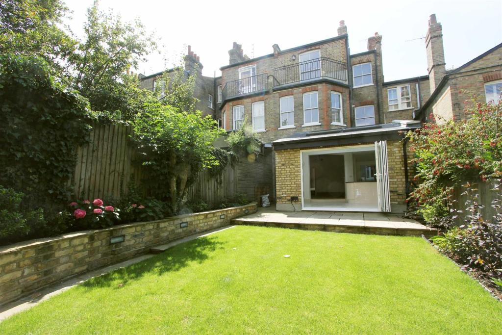
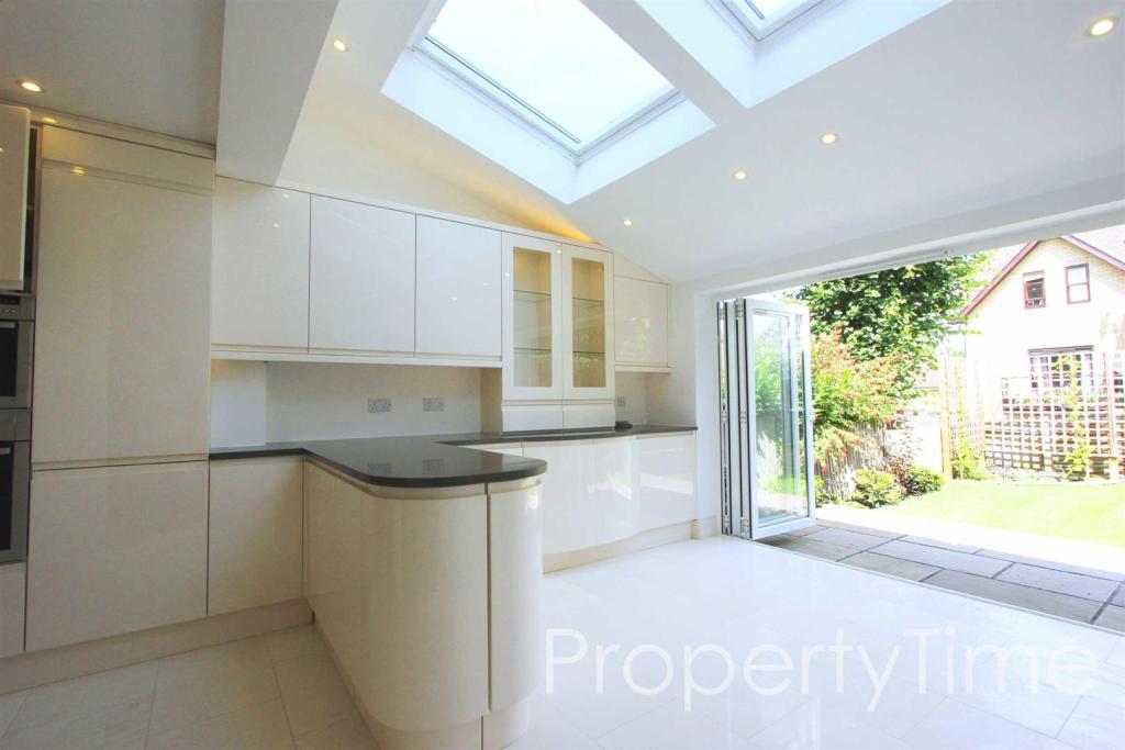
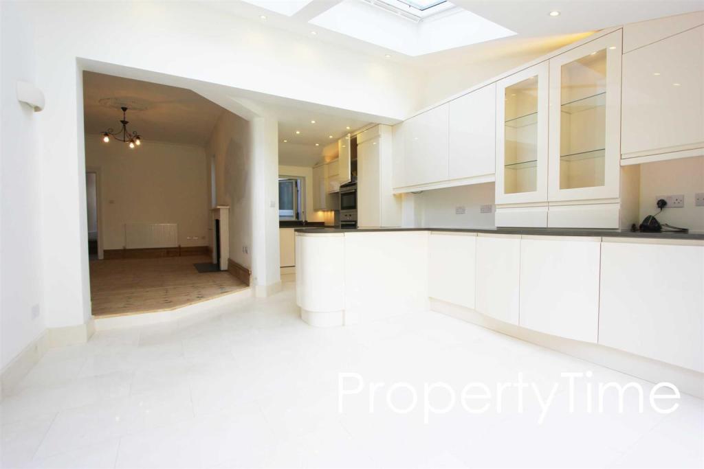
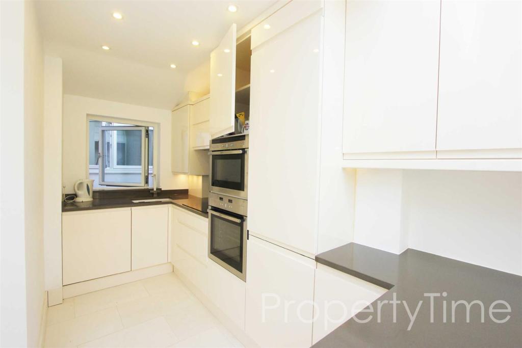
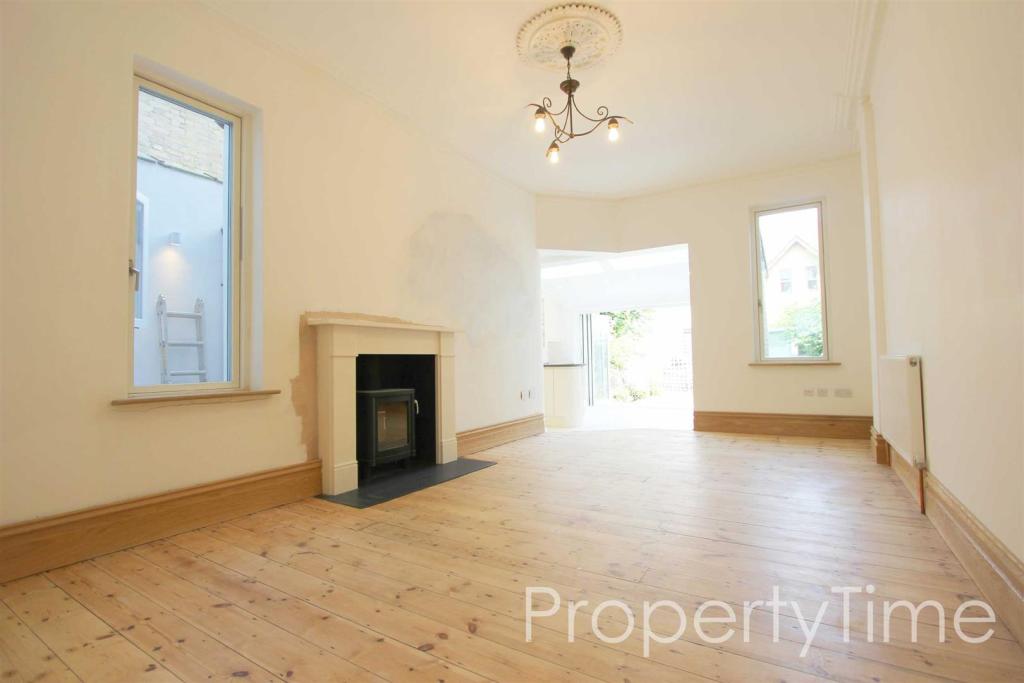
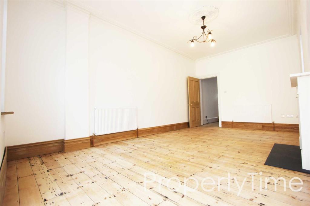
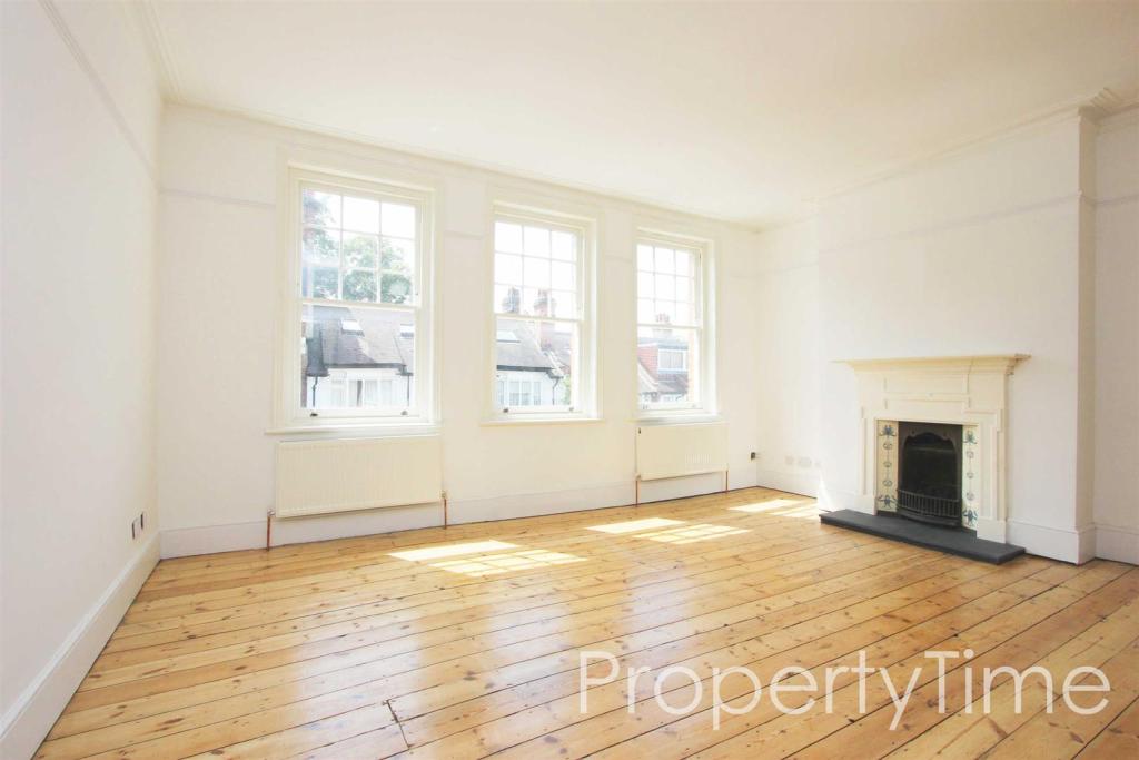
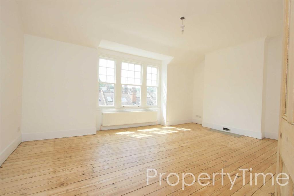
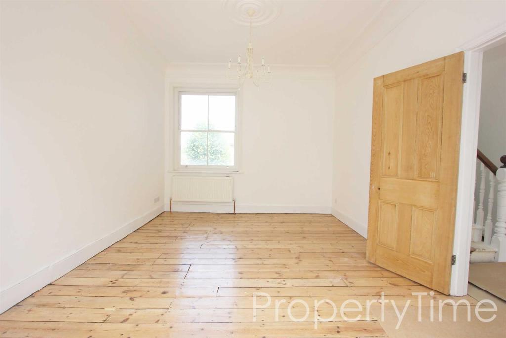
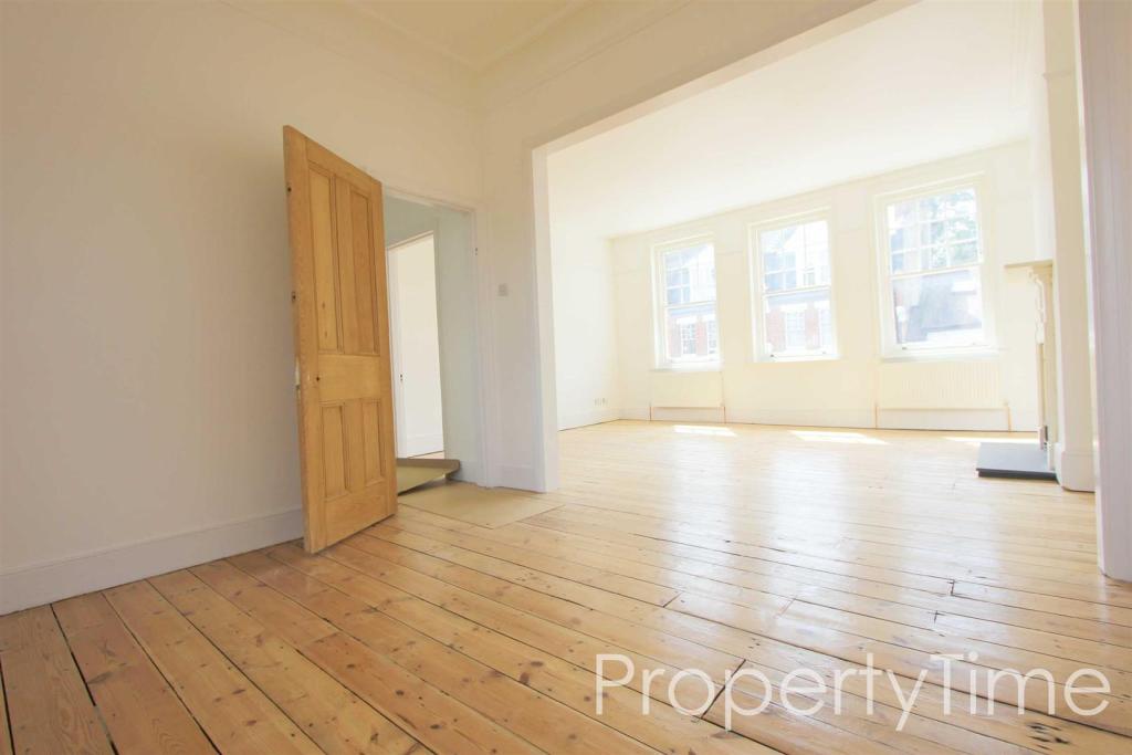
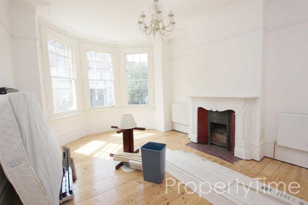
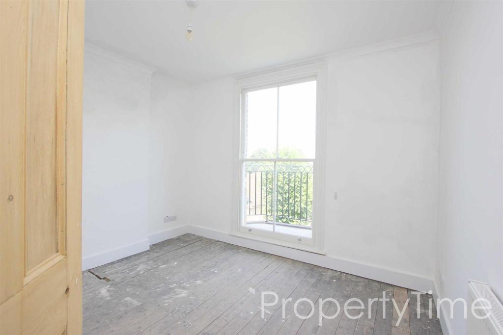
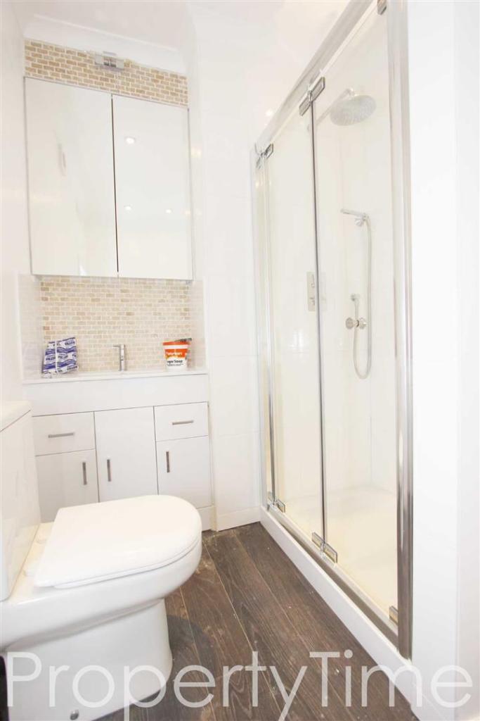
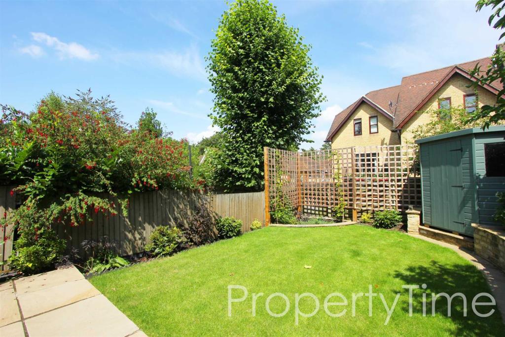
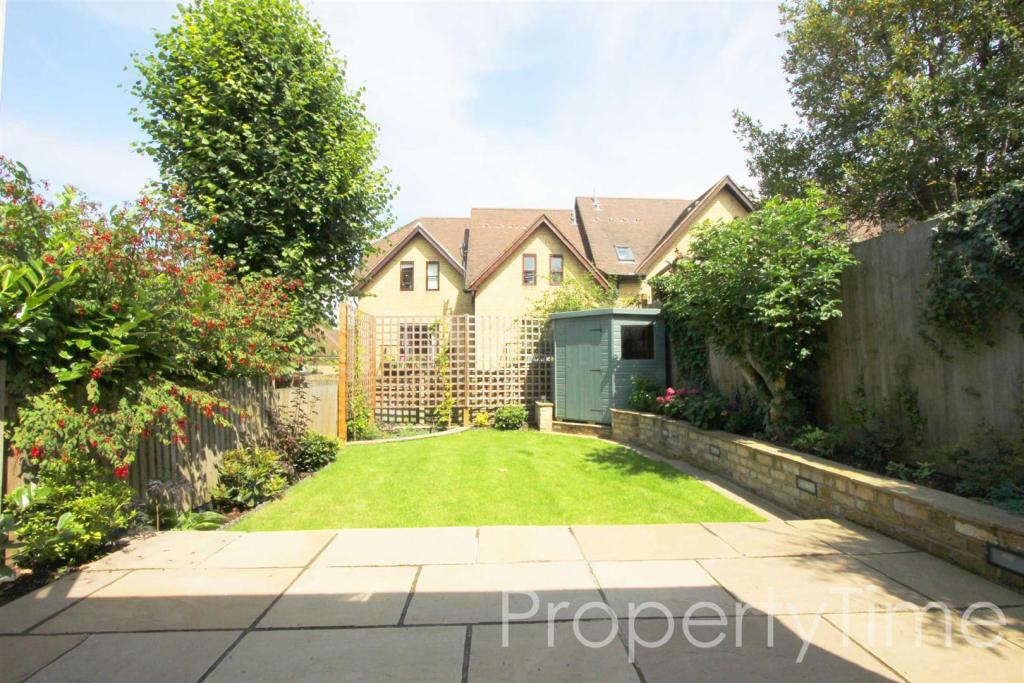
Photo 1 Photo 2 Photo 3 Photo 4 Photo 5 Photo 6 Photo 7 Photo 8 Photo 9 Photo 10 Photo 11 Photo 12 Photo 13 Photo 14 Photo 15
/ 15
Property details
Deprivation
Decile 7 (21,357 of 33,755)
Street crime
805 incidents within 1 mile (Apr 2026)
Key features
- Very Large House
- Bright & Airy
- 3 Floors
- Wine Cellar / Basement
- Recently Refurnished
- 3 Bathrooms
- High Ceilings
- Beautiful Wood Floors
- Ideal for a Family or Sharers
- Unfurnished
Description
Unfurnished. Total Interior: 3197 Sq Ft Approx.
Early viewing comes highly recommended!
For more details, similar properties or to arrange a viewing: visit Or email:
Listed by
London
PropertyTime
Reference: 66574104
EPC Rating & Upgrade Cost
Fetching EPC data… Refresh this page in a moment.
Flood risk
Zone: 1
Risk: Low
Job (default Low)
Floorplans
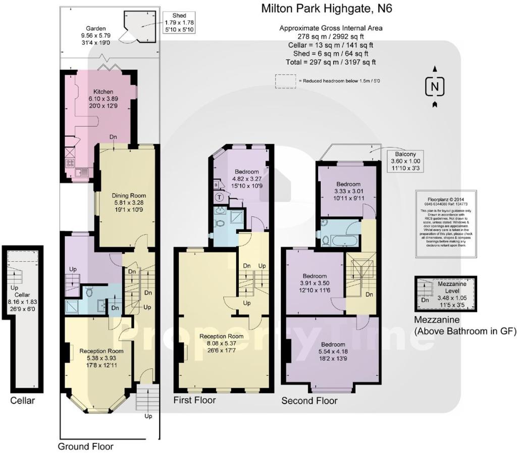
Floorplan 1
EPC Graphs
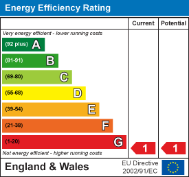
EE Rating
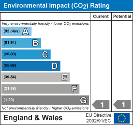
EI Rating
FENSA Certificates
This property has 1 FENSA certificate(s) on record, indicating window/door installations by FENSA-approved installers.
FENSA Certificate #9448082
Property Details
Street: 12 Milton Park
Town: LONDON
Postcode: N6 5QA
Installation Details
Items: 2 windows
Certificate Issued: 25/03/2013
Work Completed: 24/01/2013
This certificate data was retrieved from FENSA's database
What is FENSA? FENSA (Fenestration Self-Assessment Scheme) is a government-authorised scheme that monitors building regulation compliance for replacement windows and doors. Certificates indicate that work was completed by FENSA-approved installers.
Rental Range
Estimated market rent for Haringey. Low = conservative, Realistic = average, Optimistic = best case.
Based on Local Authority from postcode lookup → Haringey.
LHA (30th percentile) floor for Huntingdon: £1,247/mo (Apr 2025 – Mar 2026)
Location
Nearby
Nearest stations, universities and amenities (distance from property).
| Type | Name | Distance |
|---|---|---|
| Bus stop | Hornsey Lane | 0.1 miles |
| Shop | Highgate Art School | 0.2 miles |
| Shop | D'Lux Nails | 0.2 miles |
| Train station | Highgate | 0.5 miles |
| Train station | Archway | 0.6 miles |
| University | Central Belsize Square | 2.4 miles |
| University | Paris Dauphine University - London Campus | 3.1 miles |
| Hospital | Moorfields at Hoxton | 3.4 miles |
| Hospital | Proton International @ UCLH | 3.5 miles |
Street-level crime
| Category | Count |
|---|---|
| Anti-social behaviour | 214 |
| Violence and sexual offences | 177 |
| Shoplifting | 88 |
| Vehicle crime | 82 |
| Other theft | 60 |
| Criminal damage and arson | 35 |
| Theft from the person | 30 |
| Burglary | 28 |
| Public order | 28 |
| Robbery | 22 |
| Drugs | 16 |
| Bicycle theft | 10 |
| Other crime | 9 |
| Possession of weapons | 6 |
| Total incidents | 805 |
Within 1 mile during Apr 2026. Source: data.police.uk (England & Wales).
Schools nearby
Nearest open schools with Ofsted ratings (England). Closed schools are not shown. Data from Get Information about Schools and Ofsted.
| Name | Type | Distance | Ofsted |
|---|---|---|---|
| Whitehall Park School | Primary | 0.2 miles | Good — 24 May 2017 |
| St Aloysius RC College | Secondary | 0.3 miles | Good — 20 Jul 2022 |
| Coleridge Primary School | Primary | 0.4 miles | Outstanding — 20 Apr 2015 |
| The Avenue Pre-Preparatory School and Nursery | Other | 0.4 miles | — (No rating) |
| The Harington Scheme Ltd | Other | 0.4 miles | — (No rating) |
Rental Comparables
Rental listings exist nearby, but none matched the 5-bedroom count for this property.