14A
MARYFIELD WALK, STOKE-ON-TRENT, STOKE-ON-TRENT, STOKE-ON-TRENT ST4 5JW
£675 pcm
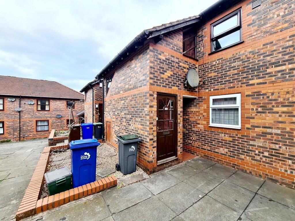
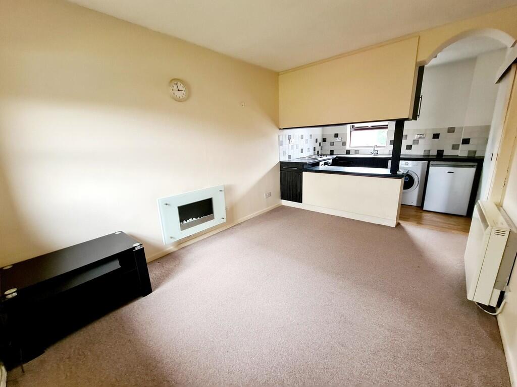
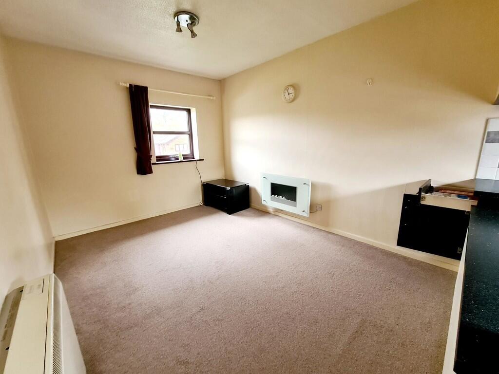
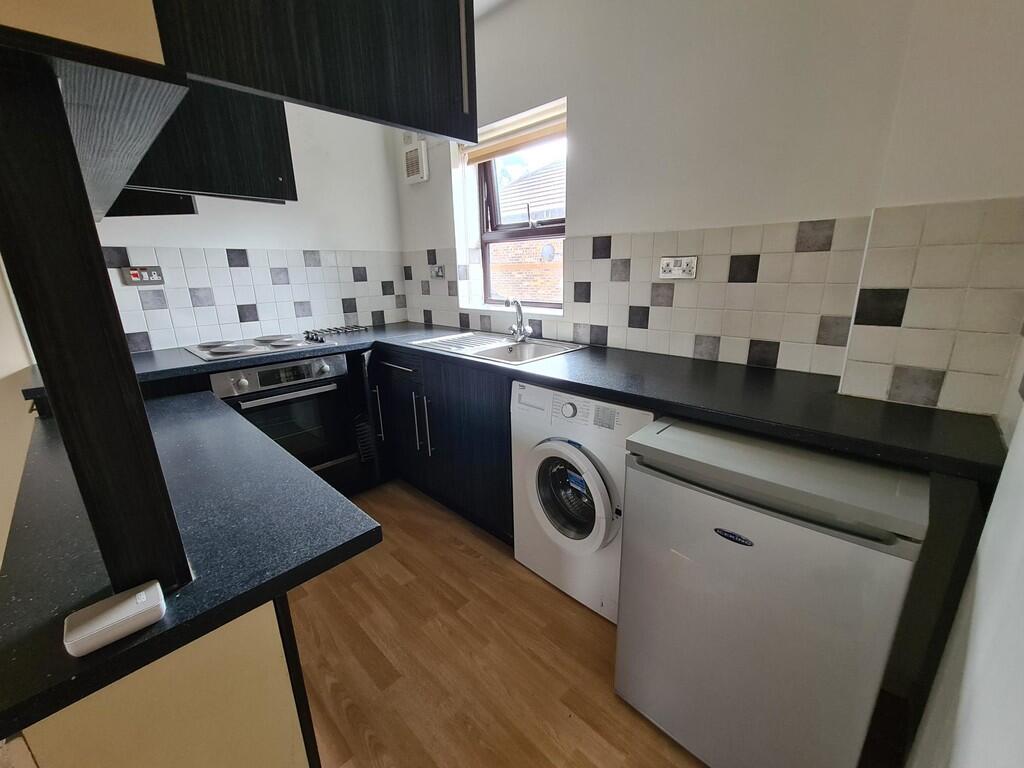
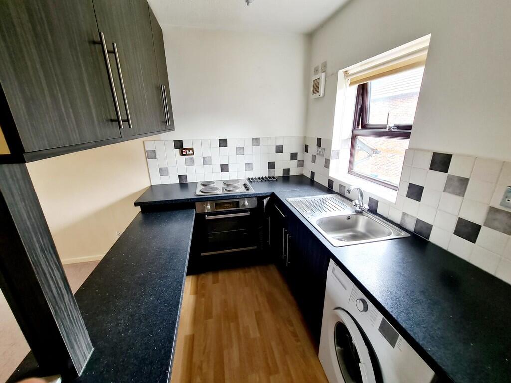
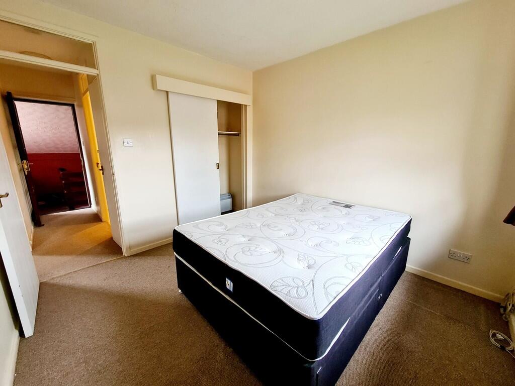
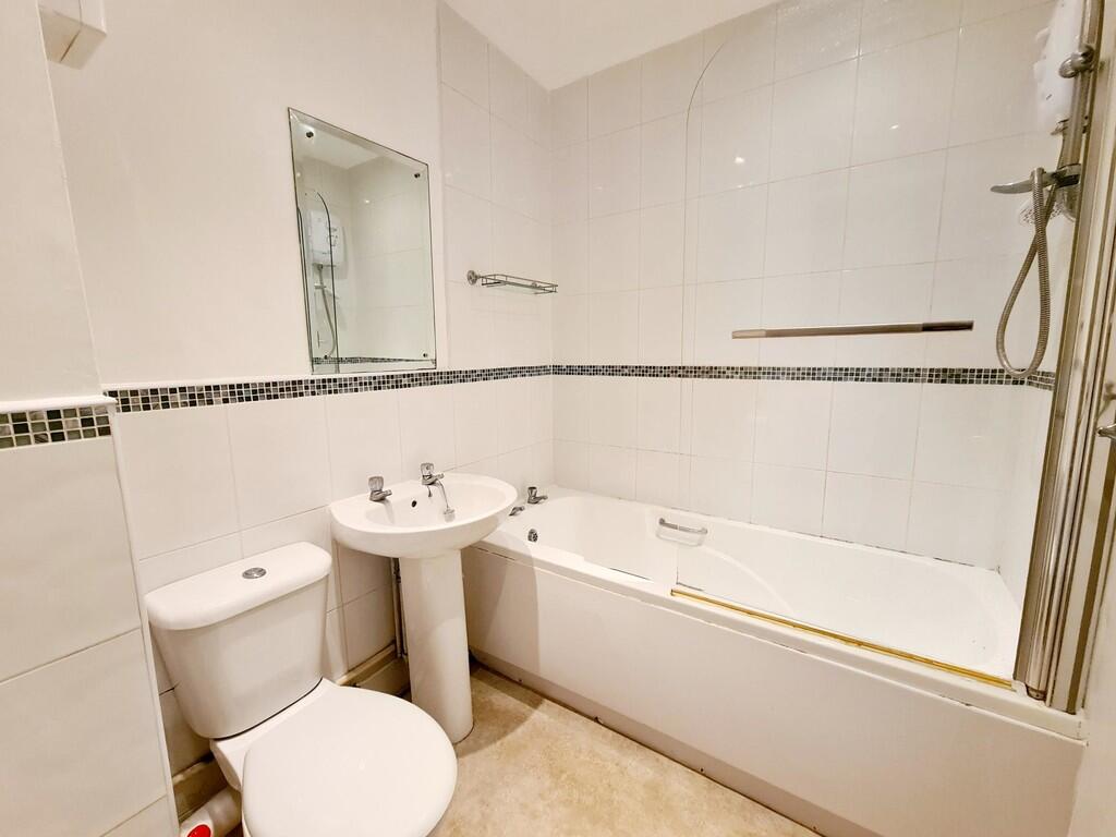
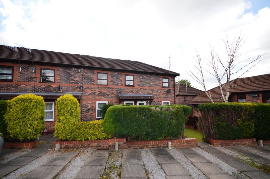
Photo 1 Photo 2 Photo 3 Photo 4 Photo 5 Photo 6 Photo 7 Photo 8 Photo 9
/ 9
Property details
Floor area
33 m²
Council tax band
A
EPC rating
C
Year built
England and Wales: 1983-1990
Deprivation
Decile 4 (11,370 of 33,755)
Street crime
421 incidents within 1 mile (Mar 2026)
Key features
- First Floor Apartment
- One Bedroom
- Open Plan Lounge/Kitchen
- Bathroom
- Convenient Location
- Ideal For Hospital
- Allocated parking
- Council tax band A
Additional details
- Heating
- Night storage
- Parking
- Yes
Description
Ideally located for easy access to the hospital complex, the apartment is also within walking distance of Penkhull's local shops, cafés, and amenities, while Newcastle and Hanley town centres are just a short distance away.
Additional benefits include allocated parking, making this an excellent choice for professionals or couples seeking convenience and comfort.
Listed by
Stoke On Trent
The Property Franchise Group
Reference: 173974556
EPC Rating & Upgrade Cost
Current rating: C
Potential rating: B
Inspection date: 01/05/2026
Current heating cost: £330/year
Potential heating cost: £294/year
Est. upgrade cost to C: £2,280
Recommendations
- Increase hot water cylinder insulation (£20 - £40)
- High heat retention storage heaters (£800 - £1,600)
- Heat recovery system for mixer showers (£600 - £1,500)
Flood risk
Zone: 1
Risk: Low
Job (default Low)
Company ownership
Registered legal owner is a company.
Rental Range
Estimated market rent for Stoke-on-Trent. Low = conservative, Realistic = average, Optimistic = best case.
Based on Local Authority from postcode lookup → Stoke-on-Trent.
LHA (30th percentile) floor for Staffordshire North: £424/mo (Apr 2025 – Mar 2026)
Location
Nearby
Nearest stations, universities and amenities (distance from property).
| Type | Name | Distance |
|---|---|---|
| Hospital | Car park site | 0.2 miles |
| Bus stop | Hilton Road, Hospital Gates | 0.2 miles |
| Hospital | Harplands Hospital | 0.2 miles |
| Shop | Penkhull Convenience Stores | 0.3 miles |
| Shop | W. Lewis Florist & Nursery | 0.3 miles |
| Bus stop | Newcastle Road, opposite Newcastle Lane | 0.4 miles |
| Train station | Stoke-on-Trent | 1.1 miles |
| University | University of Staffordshire Stoke Campus | 1.1 miles |
| Train station | Longport | 2.8 miles |
Street-level crime
| Category | Count |
|---|---|
| Violence and sexual offences | 146 |
| Anti-social behaviour | 65 |
| Public order | 53 |
| Shoplifting | 33 |
| Criminal damage and arson | 30 |
| Other theft | 23 |
| Burglary | 17 |
| Vehicle crime | 14 |
| Other crime | 12 |
| Drugs | 11 |
| Bicycle theft | 7 |
| Robbery | 7 |
| Possession of weapons | 2 |
| Theft from the person | 1 |
| Total incidents | 421 |
Within 1 mile during Mar 2026. Source: data.police.uk (England & Wales).
Schools nearby
Nearest open schools with Ofsted ratings (England). Closed schools are not shown. Data from Get Information about Schools and Ofsted.
| Name | Type | Distance | Ofsted |
|---|---|---|---|
| Thistley Hough Academy | Secondary | 0.2 miles | Good — 26 Apr 2017 |
| St John's CofE (A) Primary School | Primary | 0.3 miles | Requires improvement — 14 Jun 2023 |
| The Willows Primary School | Primary | 0.4 miles | Good — 14 Dec 2010 |
| Harpfield Primary Academy | Primary | 0.7 miles | Good — 10 Feb 2015 |
| St Thomas Aquinas Catholic Primary School | Primary | 0.7 miles | Good — 15 Jan 2023 |
Rental Comparables
Residential lets from OpenRent and Rightmove for the area (same bedroom count). Use to validate rent estimates. Student lets are excluded.
Average rent: £610/mo (45 listings)