5 ST STEPHENS PLACE
CAMBRIDGE, CAMBRIDGE, CAMBRIDGESHIRE CB3 0JE
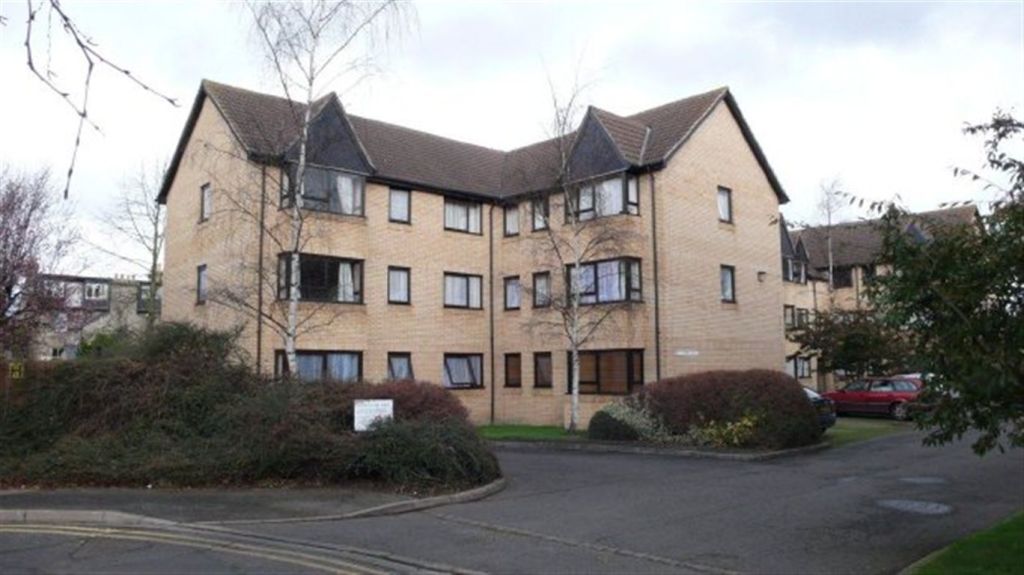
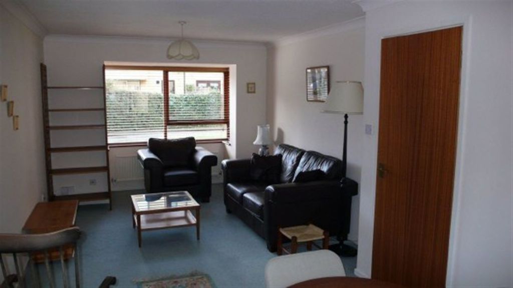
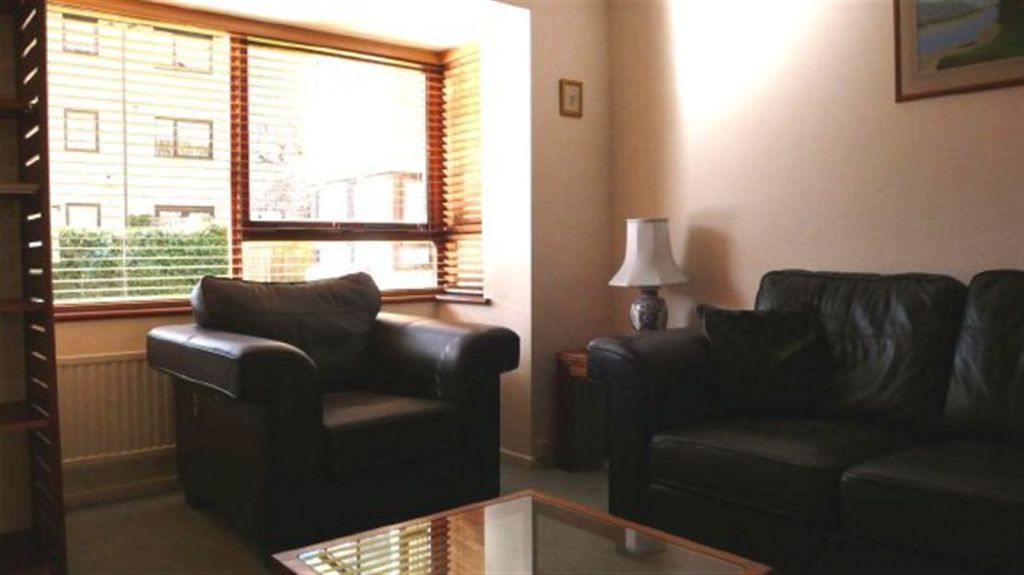
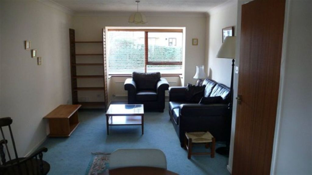
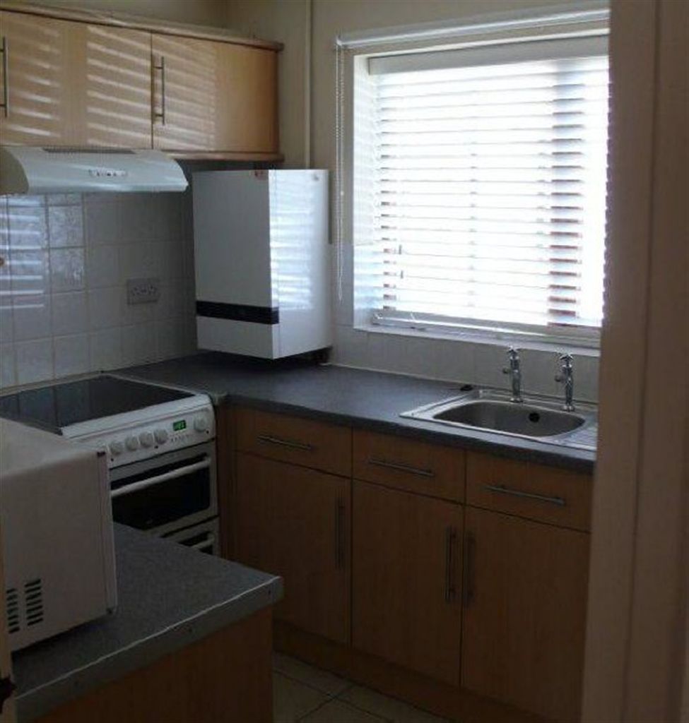
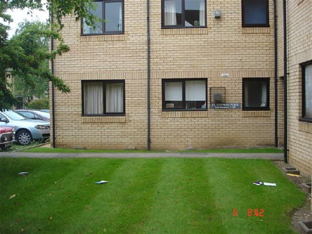
Photo 1 Photo 2 Photo 3 Photo 4 Photo 5 Photo 6
/ 6
Property details
Street crime
335 incidents within 1 mile (Mar 2026)
Key features
- Furnished Property
- 2 Bedrooms
- Residents Parking
- Sorry, No Children
- EPC Rating D
Additional details
- Parking
- Yes
Description
Listed by
Cambridge (Lettings)
Countrywide UK Lettings - Connells
Reference: 26096361
EPC Rating & Upgrade Cost
Fetching EPC data… Refresh this page in a moment.
Flood risk
Zone: 1
Risk: Low
Job (default Low)
Floorplans
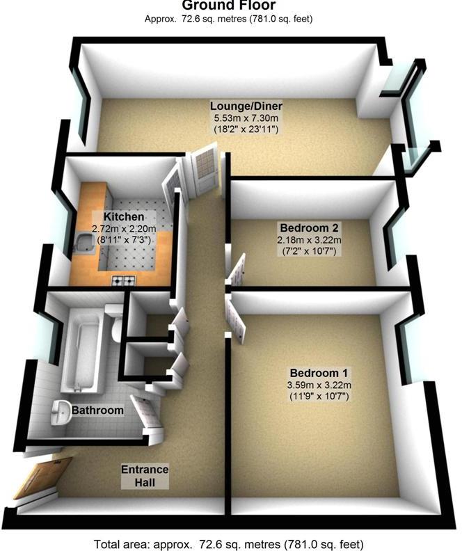
Floorplan 1
EPC Graphs

EPC 1
FENSA Certificates
This property has 1 FENSA certificate(s) on record, indicating window/door installations by FENSA-approved installers.
FENSA Certificate #8647126
Property Details
Street: 5 St. Stephens Place
Town: CAMBRIDGE
Postcode: CB3 0JE
Installation Details
Items: 6 windows
Certificate Issued: 23/01/2012
Work Completed: 11/01/2012
This certificate data was retrieved from FENSA's database
What is FENSA? FENSA (Fenestration Self-Assessment Scheme) is a government-authorised scheme that monitors building regulation compliance for replacement windows and doors. Certificates indicate that work was completed by FENSA-approved installers.
Rental Range
Estimated market rent for Cambridge. Low = conservative, Realistic = average, Optimistic = best case.
Based on Local Authority from postcode lookup → Cambridge.
LHA (30th percentile) floor for Cambridge: £947/mo (Apr 2025 – Mar 2026)
Location
Nearby
Nearest stations, universities and amenities (distance from property).
| Type | Name | Distance |
|---|---|---|
| Bus stop | Fitzwilliam College | 0.1 miles |
| Shop | Biddys Pre-Loved Auction | 0.1 miles |
| University | Fitzwilliam College (University of Cambridge) | 0.1 miles |
| University | Wychfield (Trinity Hall) | 0.2 miles |
| Shop | Headlines Haircutters | 0.2 miles |
| Hospital | Urgent Care Cambridge | 1.3 miles |
| Hospital | Cambridge Lea Hospital (Spire) | 2.0 miles |
| Train station | Cambridge | 2.0 miles |
| Train station | Cambridge North | 2.3 miles |
Street-level crime
| Category | Count |
|---|---|
| Violence and sexual offences | 100 |
| Anti-social behaviour | 42 |
| Shoplifting | 39 |
| Other theft | 30 |
| Vehicle crime | 25 |
| Bicycle theft | 23 |
| Criminal damage and arson | 21 |
| Theft from the person | 14 |
| Public order | 11 |
| Burglary | 9 |
| Other crime | 9 |
| Drugs | 7 |
| Possession of weapons | 3 |
| Robbery | 2 |
| Total incidents | 335 |
Within 1 mile during Mar 2026. Source: data.police.uk (England & Wales).
Schools nearby
Nearest open schools with Ofsted ratings (England). Closed schools are not shown. Data from Get Information about Schools and Ofsted.
| Name | Type | Distance | Ofsted |
|---|---|---|---|
| St Luke's CofE Primary School | Primary | 0.3 miles | Requires improvement — 17 Jul 2023 |
| Mayfield Primary School | Primary | 0.4 miles | Good — 24 May 2017 |
| St John's College School | Other | 0.5 miles | — (No rating) |
| Chesterton Community College | Secondary | 0.6 miles | Outstanding — 18 Sep 2017 |
| University of Cambridge Primary School | Primary | 0.6 miles | Outstanding — 7 Sep 2018 |
Rental Comparables
Residential lets from OpenRent and Rightmove for the area (same bedroom count). Use to validate rent estimates. Student lets are excluded.
| Title | Rent | Beds | Distance | As seen on |
|---|---|---|---|---|
| 2 Bed Flat, Victoria Road, CB4 | £2,000/mo | 2 | 0.48 miles | OpenRent |
Average rent: £2,000/mo (1 listing)