ST2 9DG
ST2 9DG
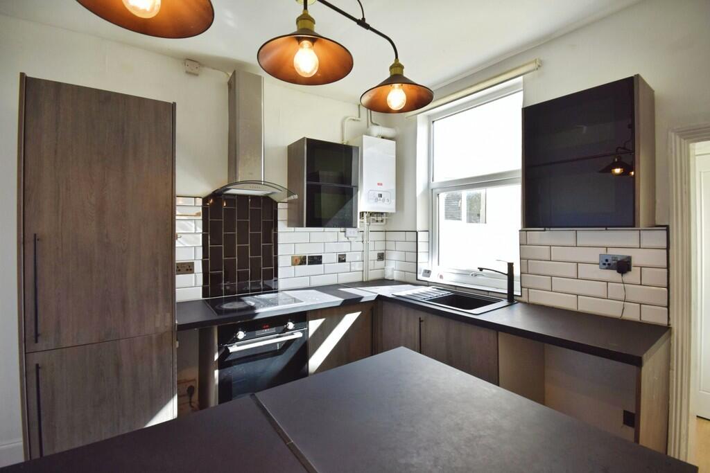
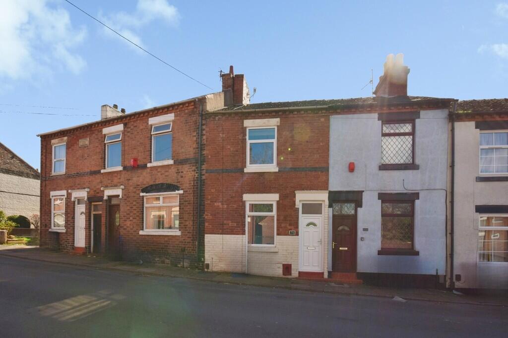
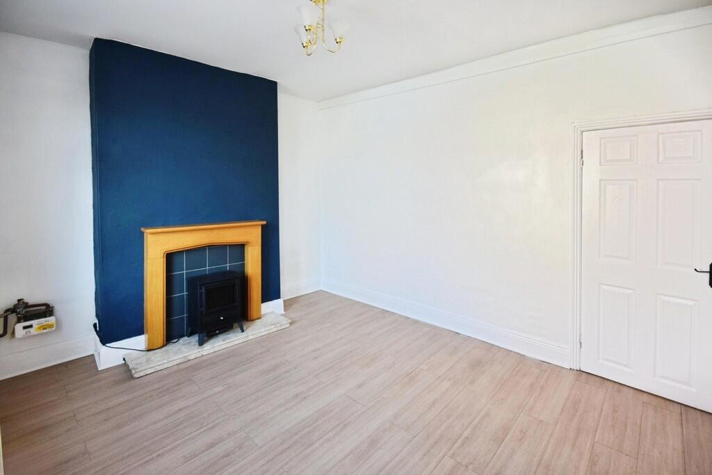
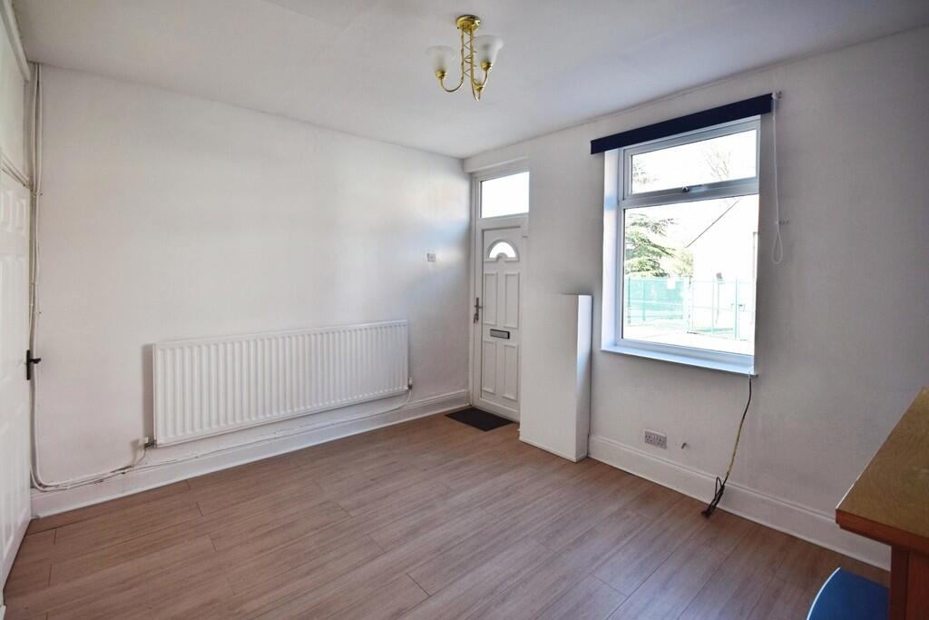
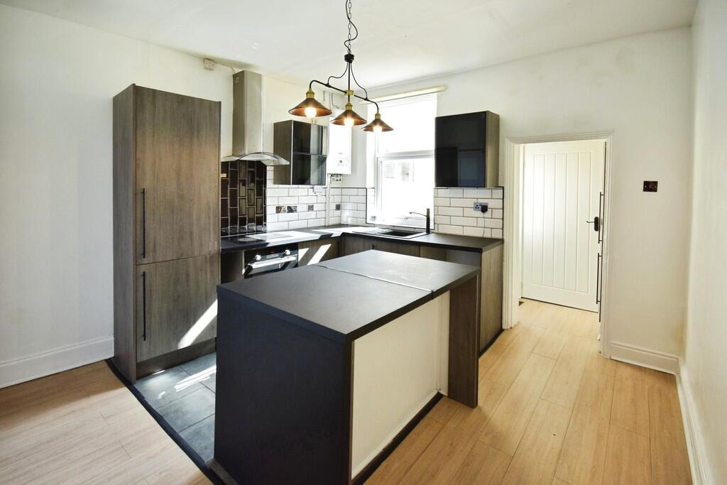
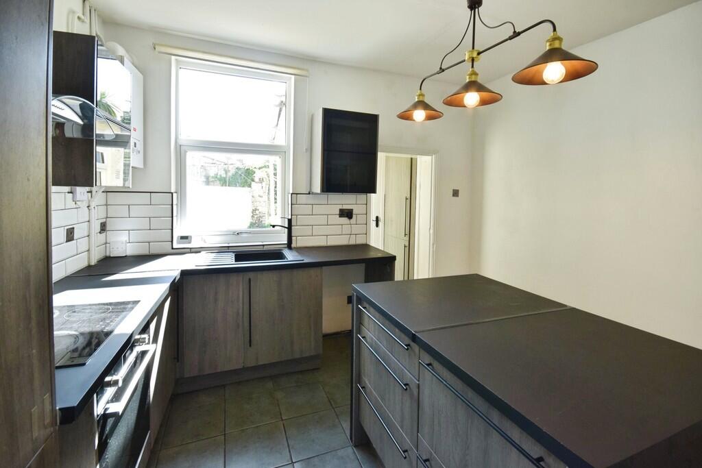
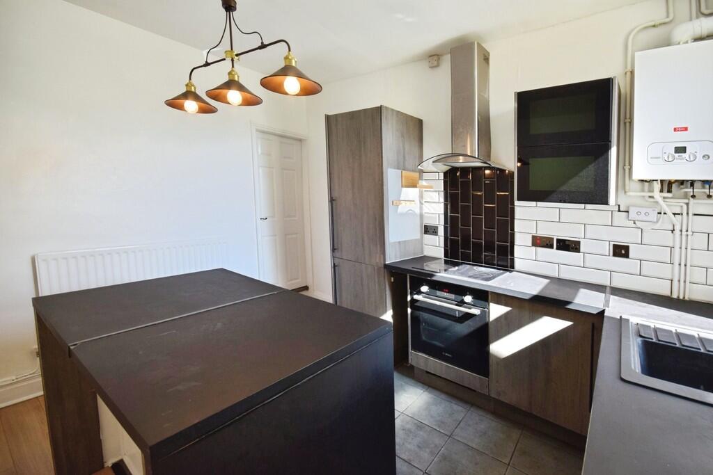
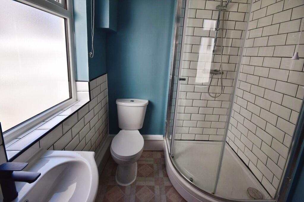
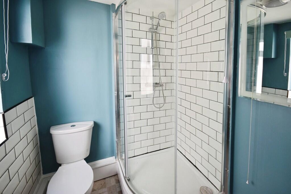
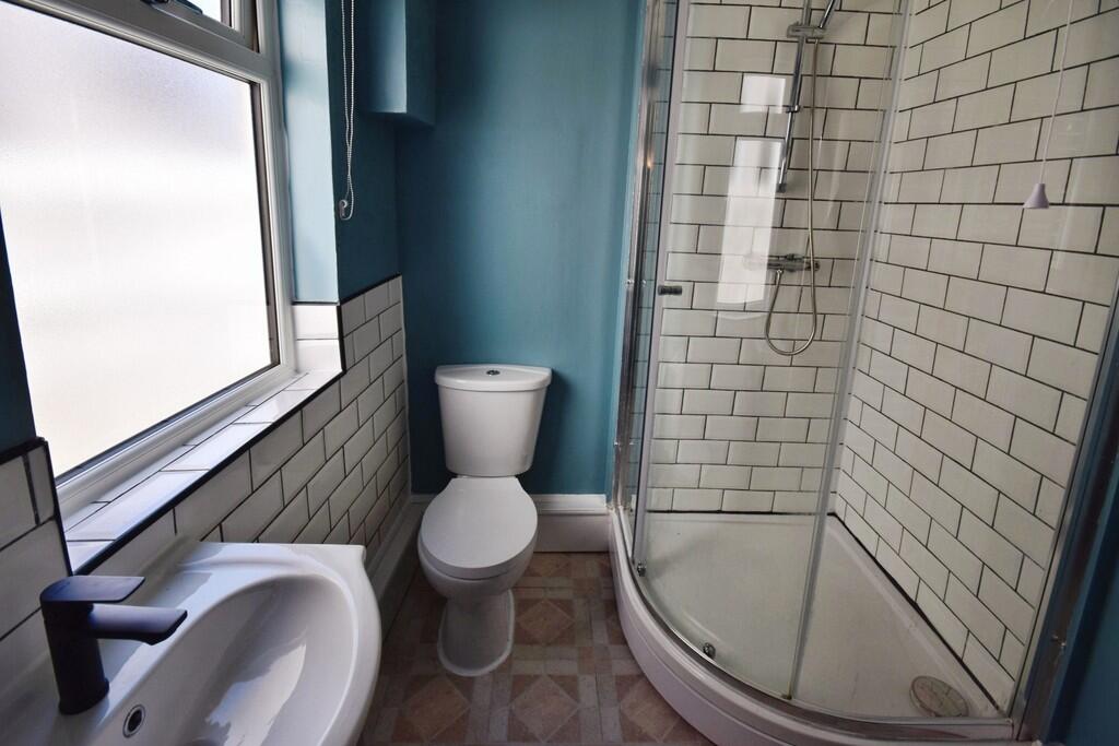
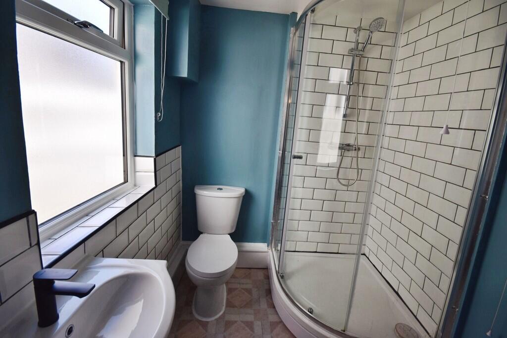
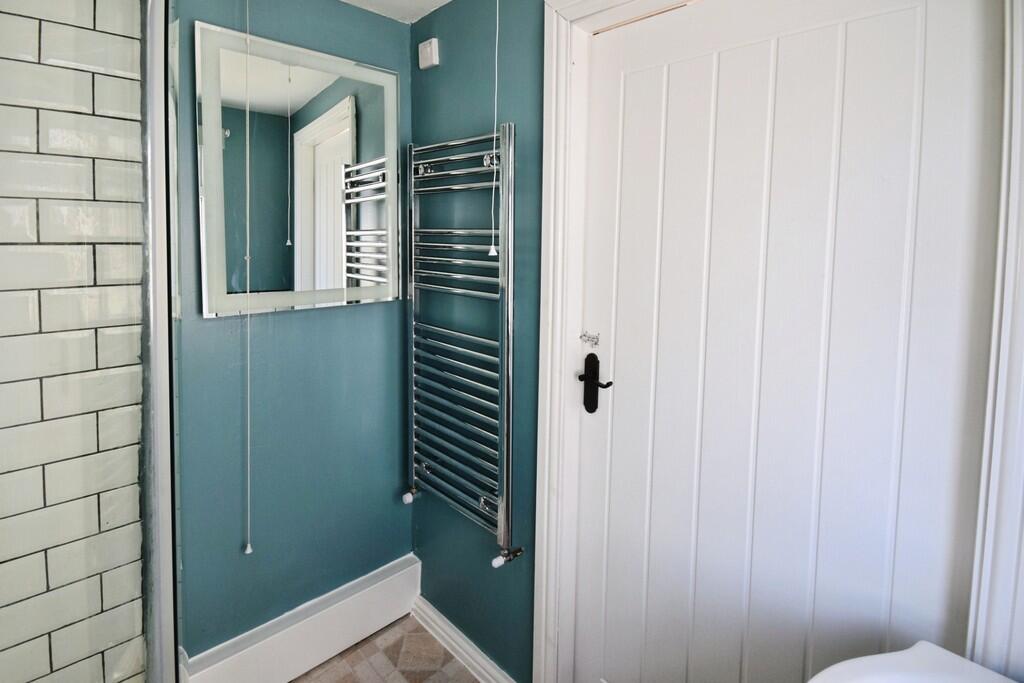
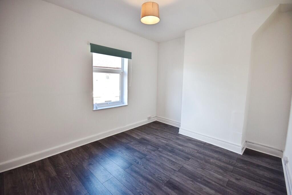
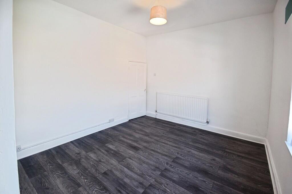
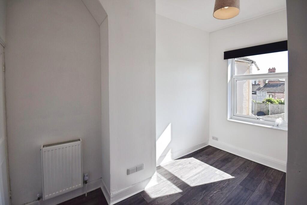
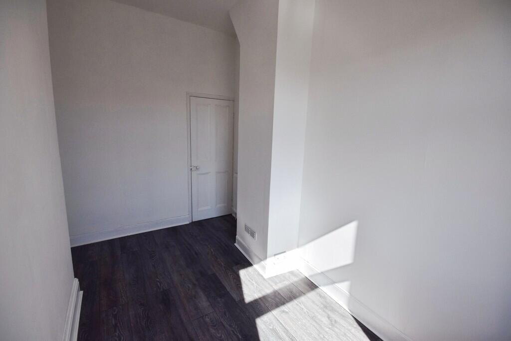
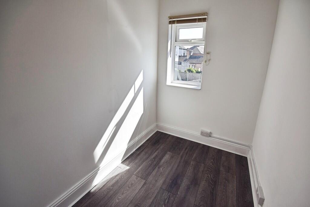
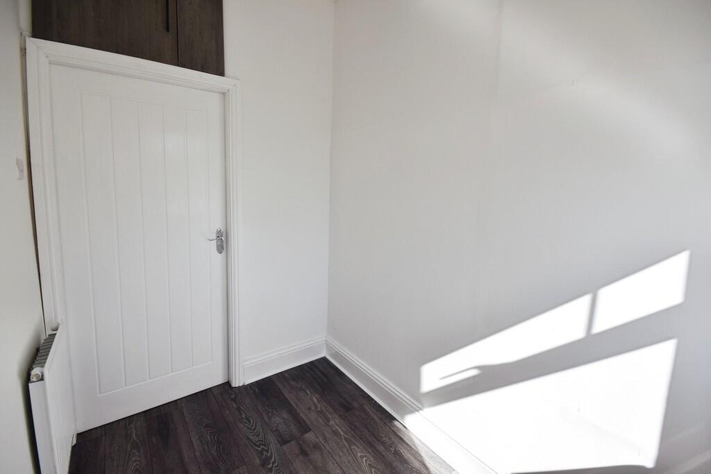
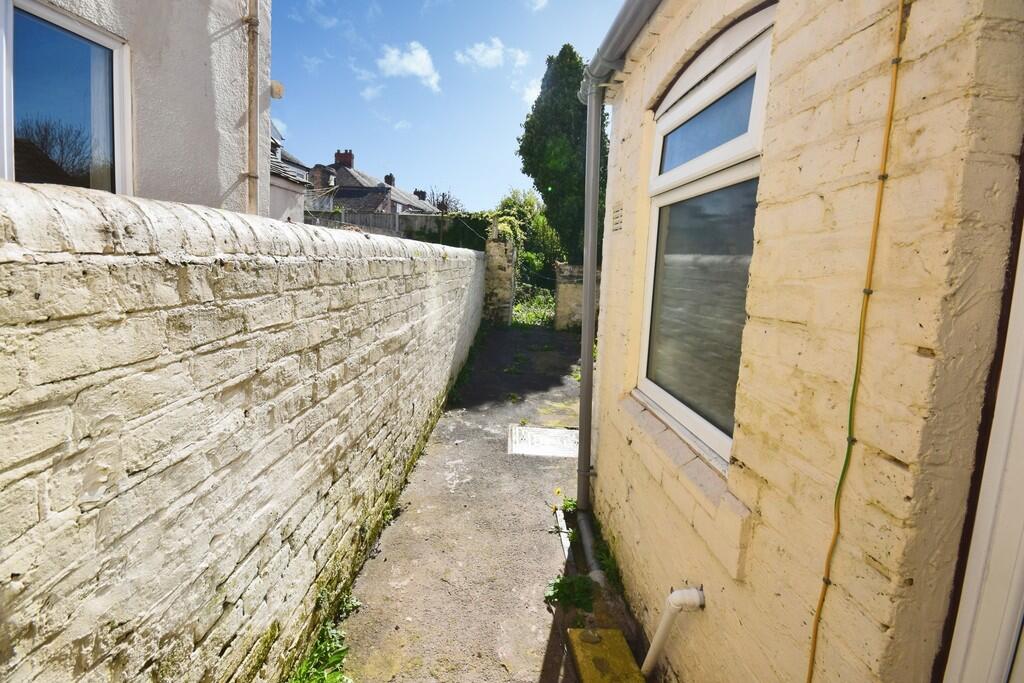
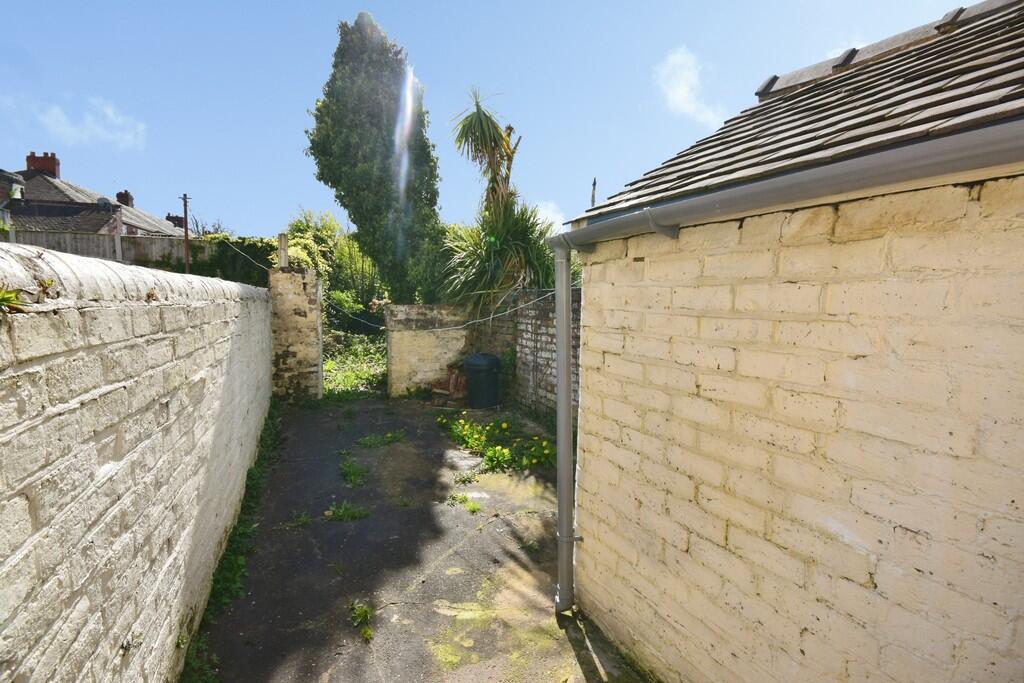
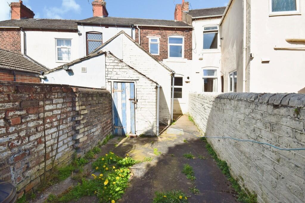
Photo 1 Photo 2 Photo 3 Photo 4 Photo 5 Photo 6 Photo 7 Photo 8 Photo 9 Photo 10 Photo 11 Photo 12 Photo 13 Photo 14 Photo 15 Photo 16 Photo 17 Photo 18 Photo 19 Photo 20 Photo 21
/ 21
Property details
Floor area
67 m²
Council tax band
A
Deprivation
Decile 2 (6,357 of 33,755)
EPC Rating & Upgrade Cost
Fetching EPC data… Refresh this page in a moment.
Flood risk
Zone: 1
Risk: Low
Not in Flood Risk Area (no data)
EPC Graphs
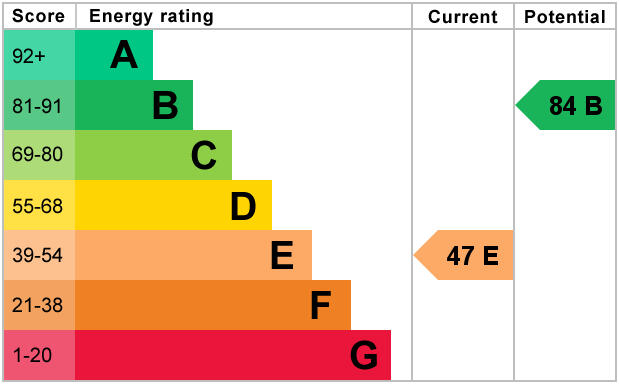
EPC 1
Rental Range
Estimated market rent for Stoke-on-Trent. Low = conservative, Realistic = average, Optimistic = best case.
Based on Local Authority from postcode lookup → Stoke-on-Trent.
LHA (30th percentile) floor for Staffordshire North: £593/mo (Apr 2025 – Mar 2026)
Location
Nearby
Nearest stations, universities and amenities (distance from property).
| Type | Name | Distance |
|---|---|---|
| Shop | Asda Express | 0.1 miles |
| Bus stop | opp Trent Bridge | 0.1 miles |
| Bus stop | Trent Bridge | 0.1 miles |
| Shop | T G Holdcroft | 0.3 miles |
| Train station | Stoke-on-Trent | 1.7 miles |
| Train station | Longton | 2.3 miles |
| Hospital | Haywood Hospital Walk-in Centre | 2.9 miles |
| Hospital | Royal Stoke University Hospital | 3.0 miles |
| University | Keele University | 5.3 miles |
| University | Buxton & Leek College | 7.9 miles |
Street-level crime
Crime data is not yet available for this property.
Rental Comparables
Residential lets from OpenRent and Rightmove for the area (same bedroom count). Use to validate rent estimates. Student lets are excluded.
| Title | Rent | Beds | As seen on |
|---|---|---|---|
| Chapel Street,Bucknall, Stoke-on-Trent | £800/mo | 3 | Rightmove |
| Ubberley Road, Stoke On Trent, ST2 | £850/mo | 3 | Rightmove |
| Wrenbury Crescent, Stoke-on-Trent, ST2 | £725/mo | 3 | Rightmove |
| Housefield Road, ST2 | £950/mo | 3 | Rightmove |
| Hoveringham Drive, STOKE-ON-TRENT | £1,100/mo | 3 | Rightmove |
| Leek Road, ST2 | £850/mo | 3 | Rightmove |
Average rent: £879/mo (6 listings)