Mill Lane
Caistor, LN7, LN7 6UA
£995 pcm
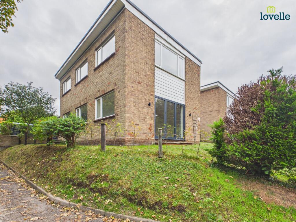
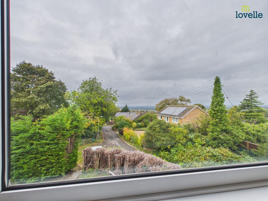
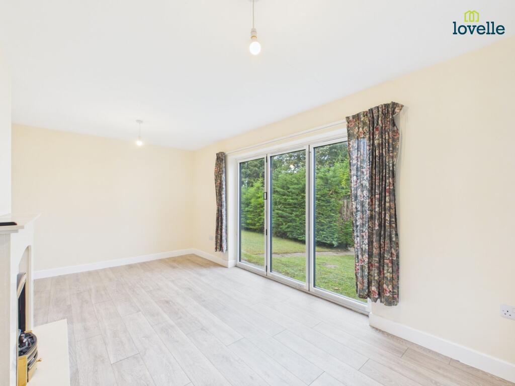
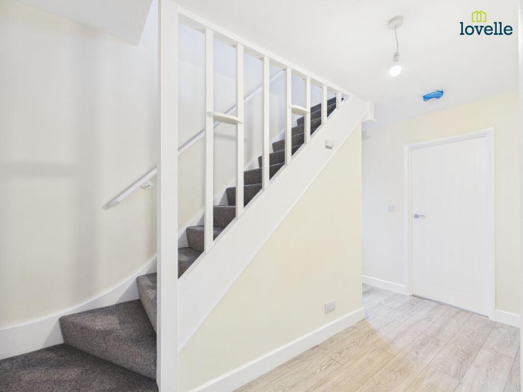
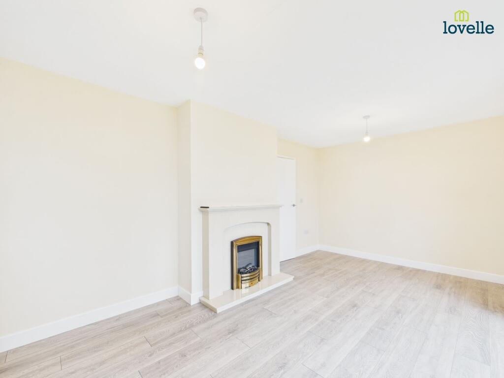
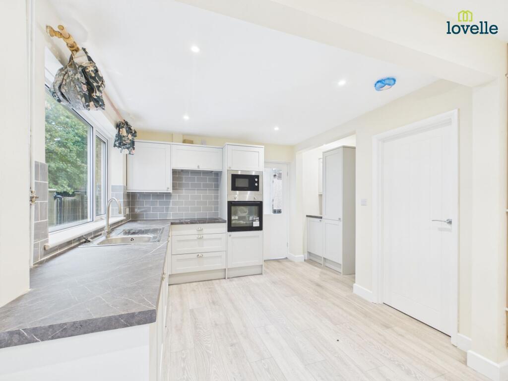
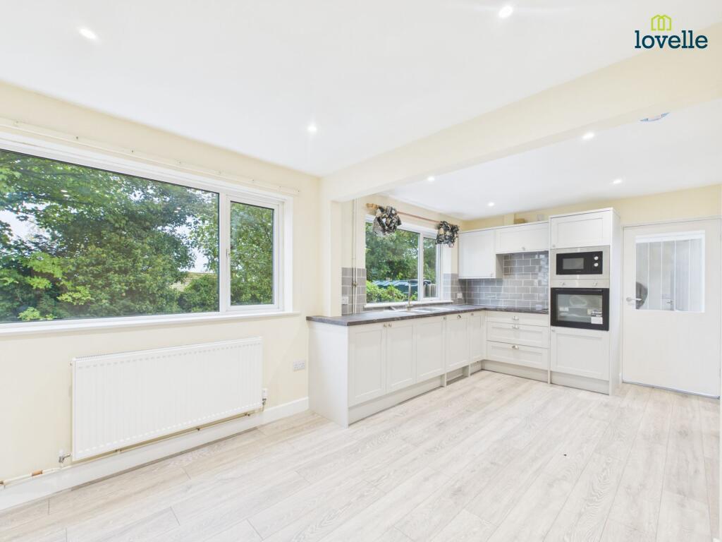
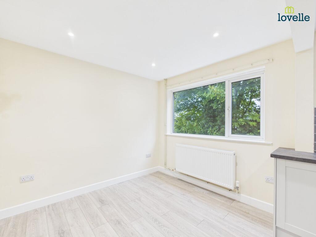
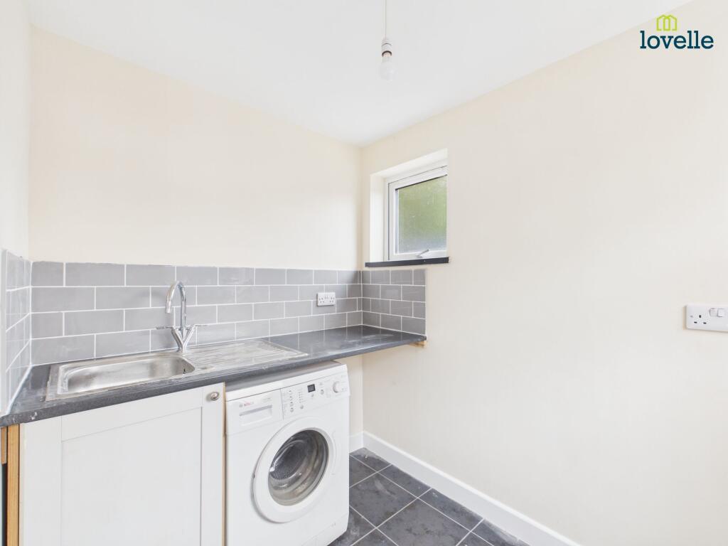
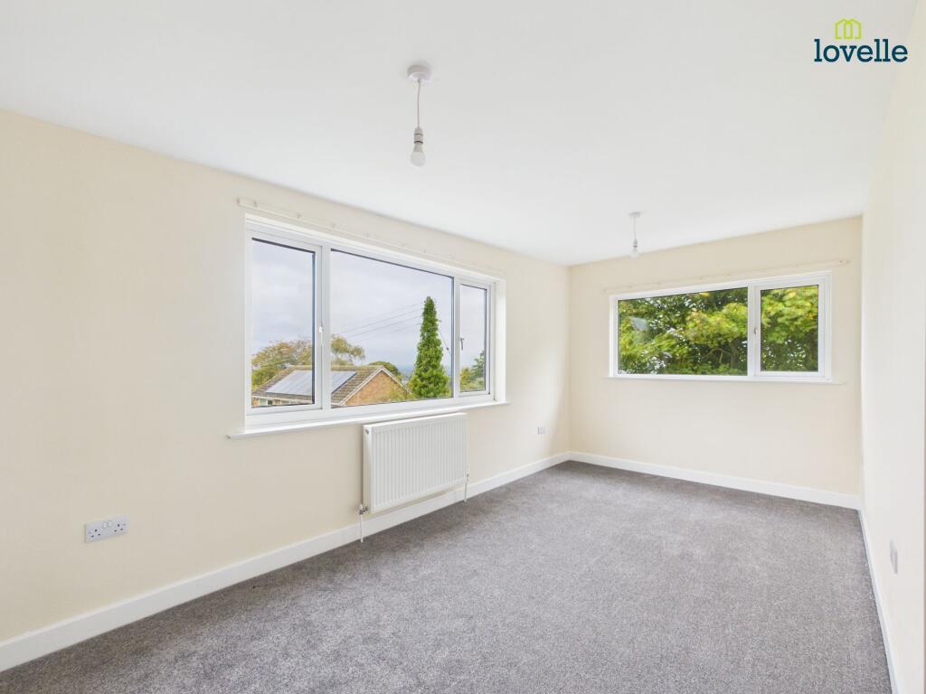
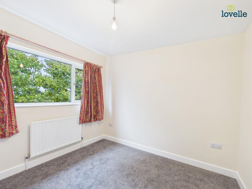
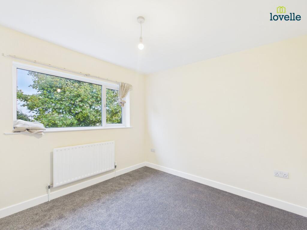
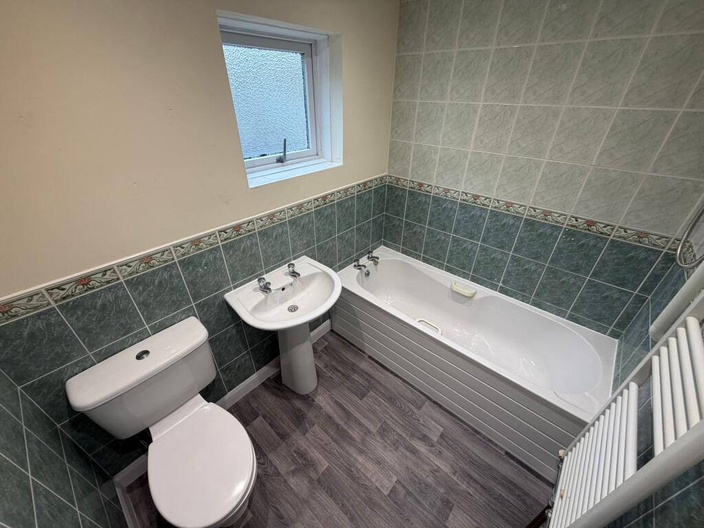
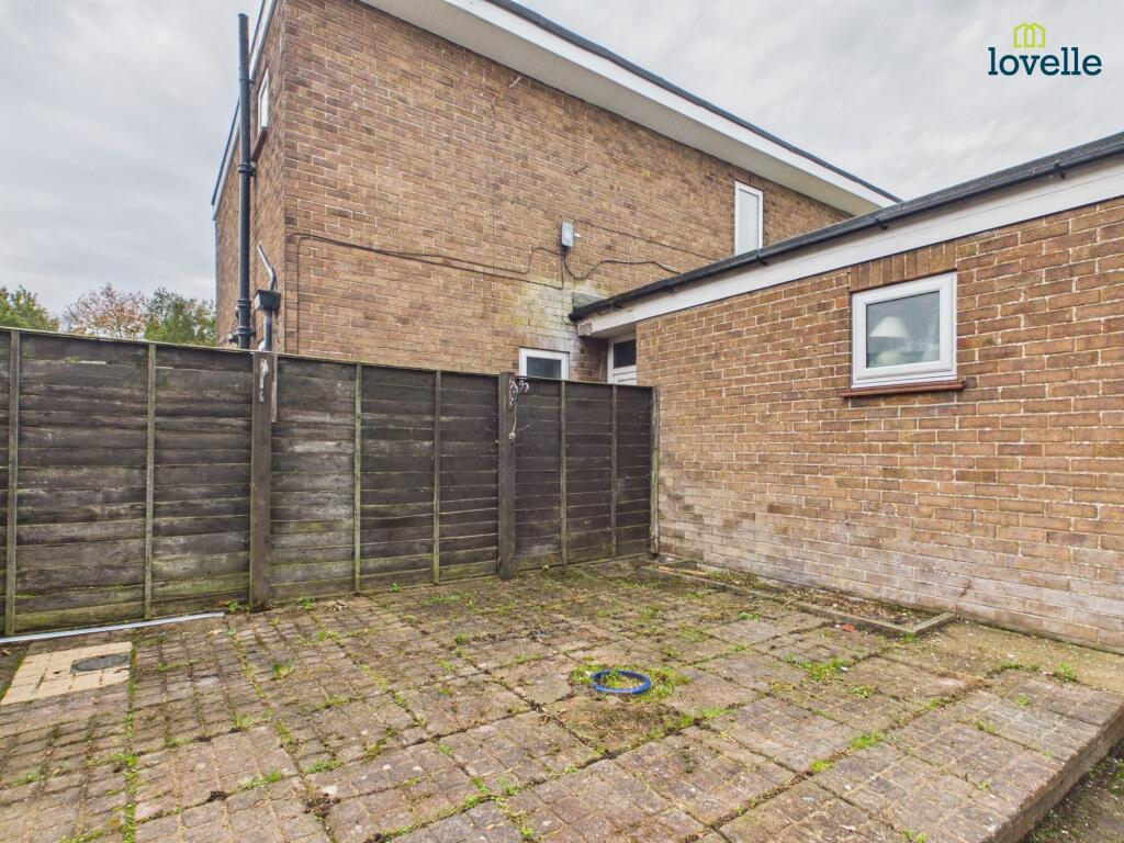
Photo 1 Photo 2 Photo 3 Photo 4 Photo 5 Photo 6 Photo 7 Photo 8 Photo 9 Photo 10 Photo 11 Photo 12 Photo 13 Photo 14
/ 14
Property details
Council tax band
B
Deprivation
Decile 3 (9,636 of 33,755)
Street crime
20 incidents within 1 mile (Aug 2026)
Key features
- Link Detached House
- Popular Market Town Location
- Stunning Countryside Views
- Entrance Hall, Lounge, WC
- Kitchen Dining Room, Utility
- 3 Bedrooms & Bathroom
- Courtyard Garden to Rear
- Driveway to Rear
Additional details
- Electricity
- Mains supply
- Water
- Mains supply
- Heating
- Oil
- Parking
- Yes
- Garden
- Yes
- Listed property
- No
- Restrictions
- No
- Required access
- No
- Rights of way
- No
- Flooded in last 5 years
- No
- Flood defences
- No
Description
Once you have viewed a property and decided that you would like to proceed with an application to rent, you may complete an Application form which will provide full details of the application process including fees, referencing procedures, and other information relating to the proposed tenancy and property.
Please note the fees applicable for this Property are as follows:
£995.00 - Rent in advance
£1148.00 - Deposit
(THERE WILL BE NO OTHER ASSOCIATED COSTS SHOULD THE APPLICATION BE SUCCESSFUL).
All applications are subject to contract and satisfactory references and we reserve the right to decline an application.
We are a member of The Property Redress Scheme. Membership Number: PRS027609
We are a member of The Tenancy Deposit Scheme. Membership Number: G13504
EPC Rating: D
Listed by
Market Rasen
The Property Franchise Group
Reference: 94653906
EPC ratings on this postcode
We don't have a matched EPC for this property yet. Below are efficiency scores and details for other addresses on this postcode.
| Address | Current | Potential | Floor area | Age band | Type |
|---|---|---|---|---|---|
| 10a, Mill Lane, Caistor, MARKET RASEN | 52 | 82 | 74 m² | England and Wales: 1900-1929 | Detached |
| 10a, Mill Lane, Caistor, MARKET RASEN | 29 | 42 | 70 m² | England and Wales: 1900-1929 | Detached |
| 11 Mill Lane, Caistor, MARKET RASEN | 61 | 81 | 210 m² | England and Wales: 1900-1929 | Detached |
| 3, Mill Lane, Caistor, MARKET RASEN | 61 | 79 | 141 m² | England and Wales: 1967-1975 | Detached |
| 4, Mill Lane, Caistor, MARKET RASEN | 57 | 86 | 151 m² | England and Wales: 1967-1975 | Detached |
| 5B Mill Lane, Caistor, MARKET RASEN | 81 | 85 | 119 m² | — | Detached |
| 7 Mill Lane, Caistor, MARKET RASEN | 57 | 79 | 95 m² | England and Wales: 1976-1982 | Detached |
| 7a, Mill Lane, Caistor, MARKET RASEN | 72 | 75 | 167 m² | England and Wales: before 1900 | Detached |
| The Stables, Mill Lane, Caistor, MARKET RASEN | 55 | 82 | 96 m² | England and Wales: before 1900 | Detached |
| THE STABLES, MILL LANE, CAISTOR, MARKET RASEN | 67 | 85 | 114 m² | England and Wales: before 1900 | Detached |
Flood risk
Zone: 1
Risk: Low
Job (default Low)
Registered land (INSPIRE)
This location falls inside an HM Land Registry INSPIRE registered freehold polygon.
Plot: ~241 m² (0.06 acres)
Source: HM Land Registry INSPIRE Index Polygons.
Floorplans
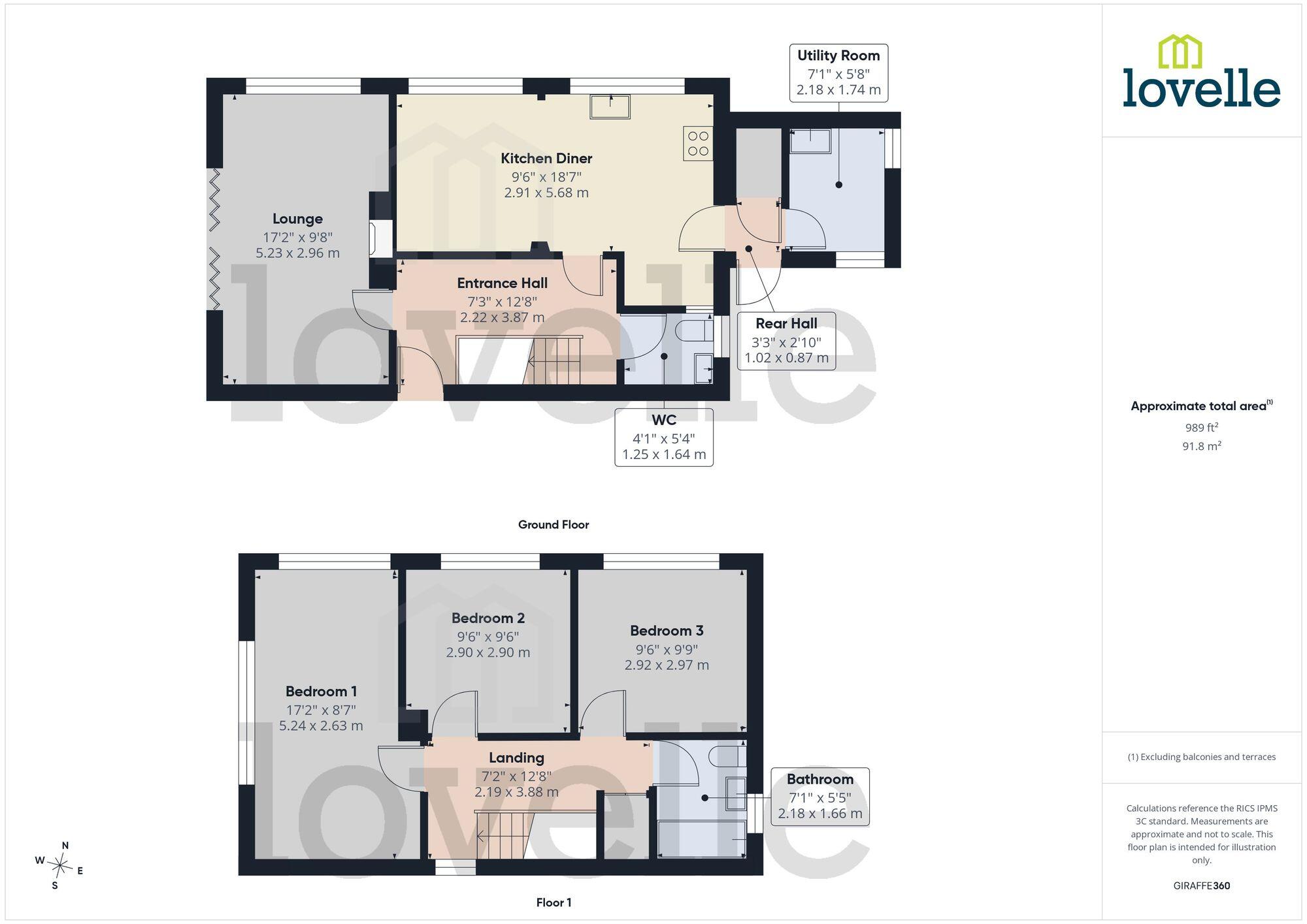
All
EPC Graphs
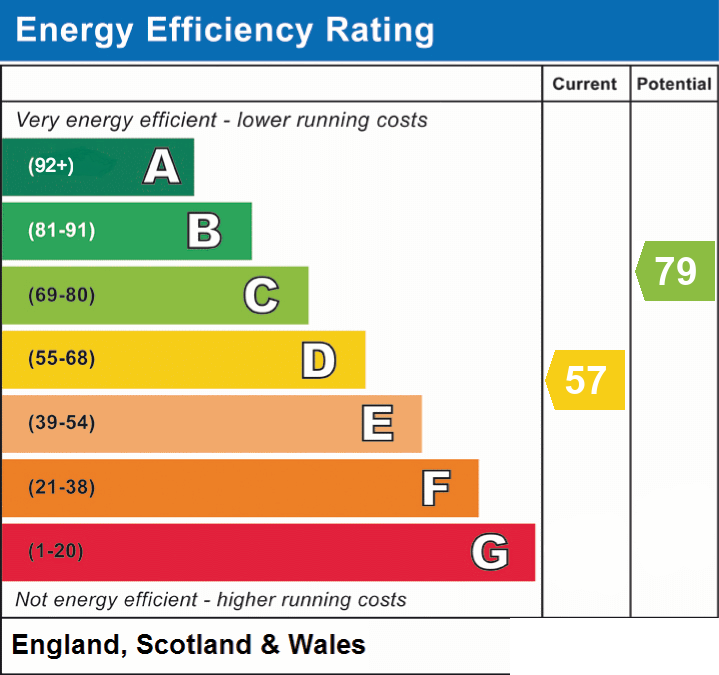
EPC 1
Rental Range
Estimated market rent for West Lindsey. Low = conservative, Realistic = average, Optimistic = best case.
Based on Local Authority from postcode lookup → West Lindsey.
LHA (30th percentile) floor for Grimsby: £520/mo (Apr 2025 – Mar 2026)
Location
Address
Mill Lane
Nearby
Nearest stations, universities and amenities (distance from property).
| Type | Name | Distance |
|---|---|---|
| Shop | Lincolnshire Computer Surgery | 0.1 miles |
| Shop | Unknown | 0.1 miles |
| Bus stop | Butter Market | 0.1 miles |
| Bus stop | South Dale | 0.2 miles |
| Train station | Barnetby | 6.7 miles |
| Train station | Habrough | 7.7 miles |
| University | University Centre Grimsby | 9.8 miles |
| University | University Centre (University of Hull) | 9.9 miles |
| Hospital | Harrison House | 10.5 miles |
| Hospital | St Hughs | 10.5 miles |
Street-level crime
| Category | Count |
|---|---|
| Violence and sexual offences | 9 |
| Anti-social behaviour | 4 |
| Criminal damage and arson | 3 |
| Burglary | 2 |
| Other theft | 1 |
| Public order | 1 |
| Total incidents | 20 |
Within 1 mile during Aug 2026. Source: data.police.uk (England & Wales).
Schools nearby
Nearest open schools with Ofsted ratings (England). Closed schools are not shown. Data from Get Information about Schools and Ofsted.
| Name | Type | Distance | Ofsted |
|---|---|---|---|
| Caistor Yarborough Academy | Secondary | 0.1 miles | Good — 12 Sep 2021 |
| Caistor CofE and Methodist Primary School | Primary | 0.3 miles | Good — 29 Apr 2014 |
| Caistor Grammar School | Secondary | 0.4 miles | Good — 12 Jul 2022 |
| Nettleton Community Primary School | Primary | 1.2 miles | Good — 5 Jun 2014 |
| Grasby All Saints Church of England Primary School | Primary | 3.0 miles | Good — 16 Oct 2013 |
Rental Comparables
Residential lets from OpenRent and Rightmove for the area (same bedroom count). Use to validate rent estimates. Student lets are excluded.
| Title | Rent | Beds | Distance | As seen on |
|---|---|---|---|---|
| Mill Lane, Caistor, LN7 | £995/mo | 3 | 0 miles | Rightmove |
| Varlows Yard, Caistor, LN7 | £995/mo | 3 | 0.24 miles | Rightmove |
| Risedale, Caistor | £875/mo | 3 | 0.37 miles | Rightmove |
| Navigation Lane, Caistor, Market Rasen, LN7 | £1,100/mo | 3 | 0.53 miles | Rightmove |
| Mallard Drive, Caistor LN7 6SA | £850/mo | 3 | 0.68 miles | Rightmove |
| North Kelsey Road, Caistor, Market Rasen | £1,400/mo | 3 | 1.17 miles | Rightmove |
Average rent: £1,036/mo (6 listings)
Enter House Number
Enter the house number to help us retrieve more accurate pricing history and property data.
Please log in to submit or correct the house number for this listing.
Log in to continue