"Robin"
19 Birch Lane, Hough, CW2 5RH
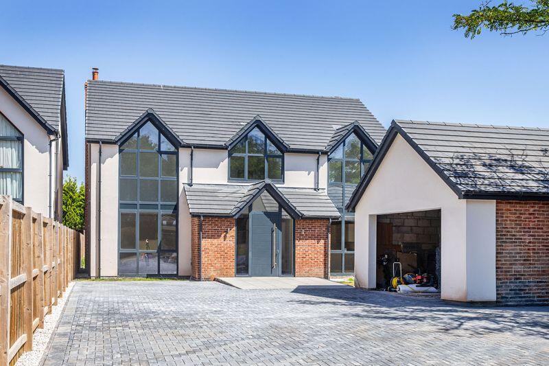
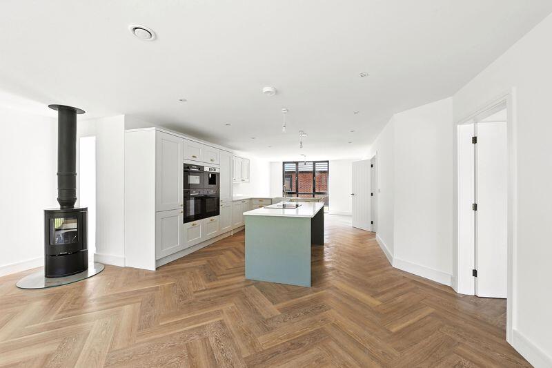
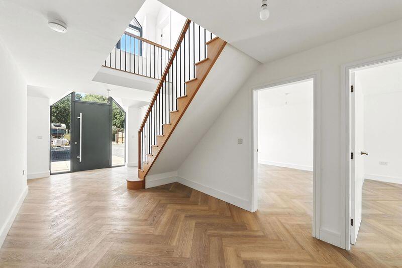
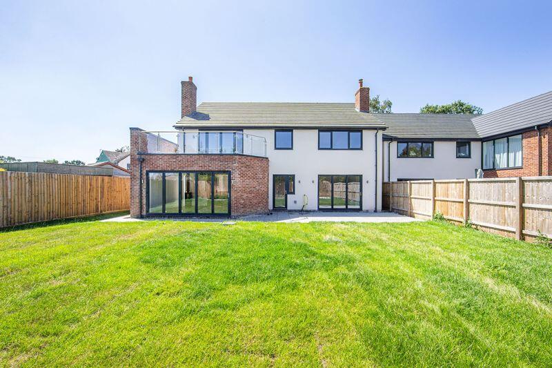
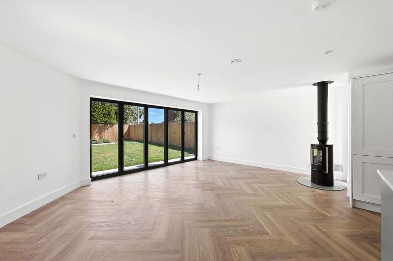
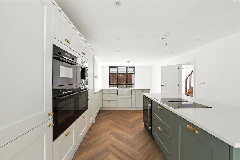
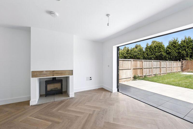
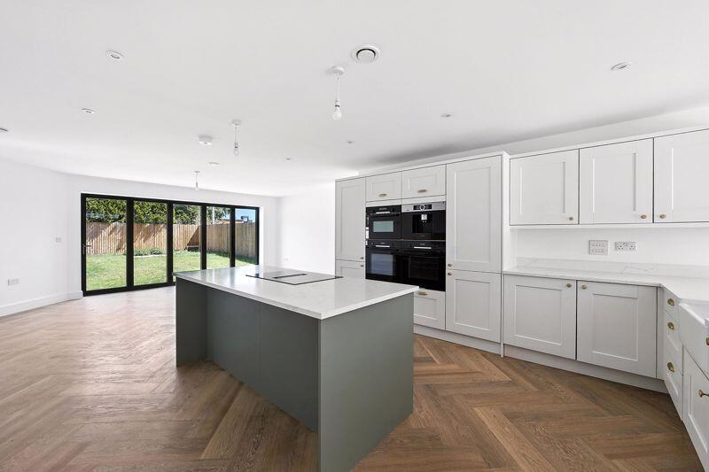
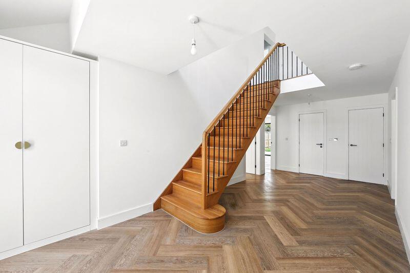
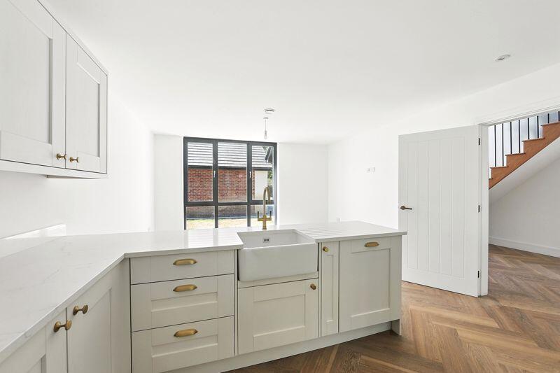
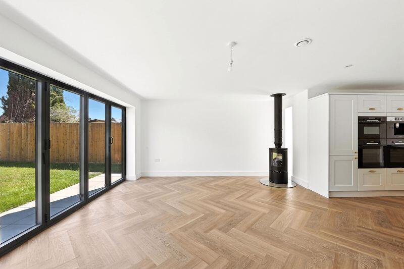
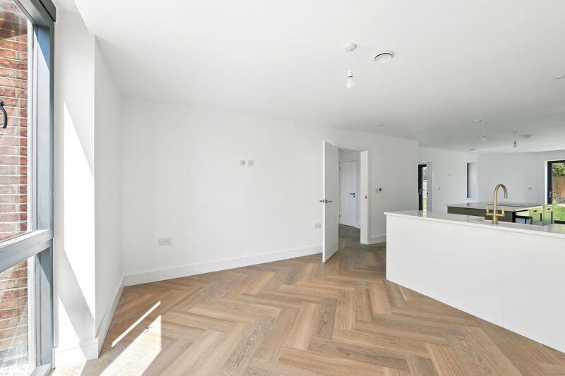
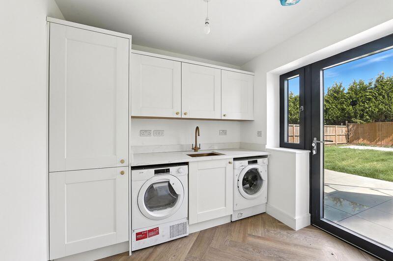
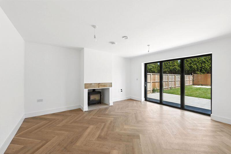
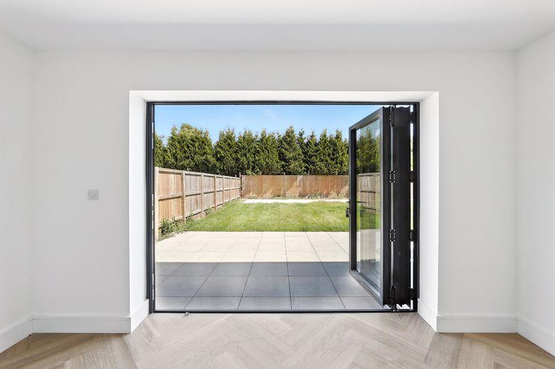
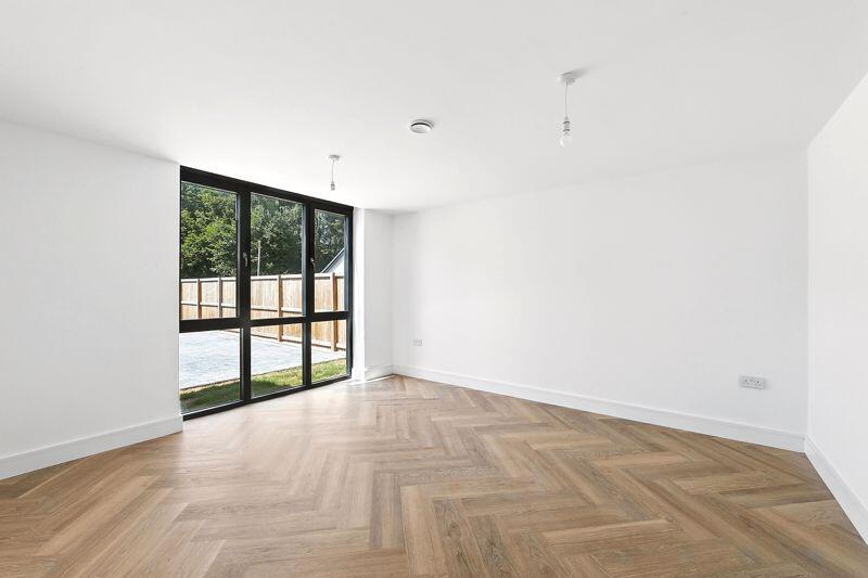
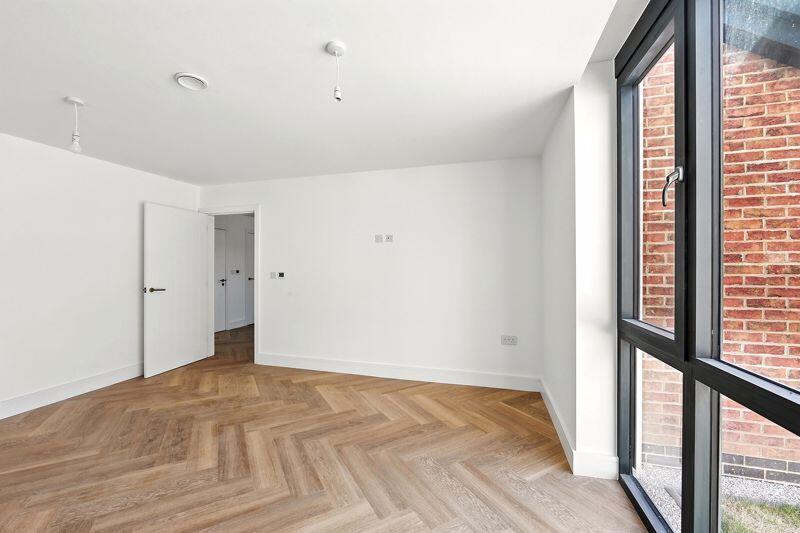
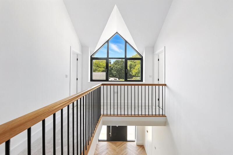
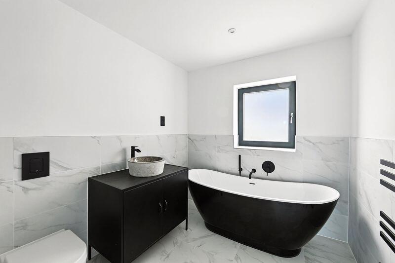
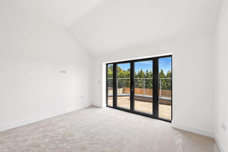
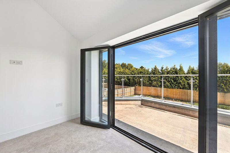
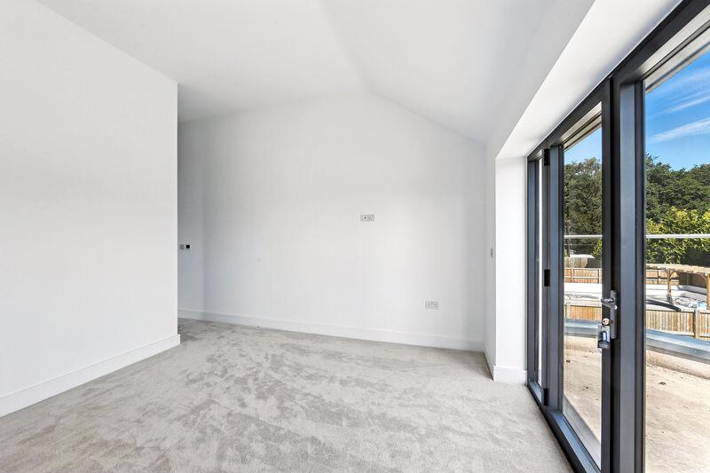
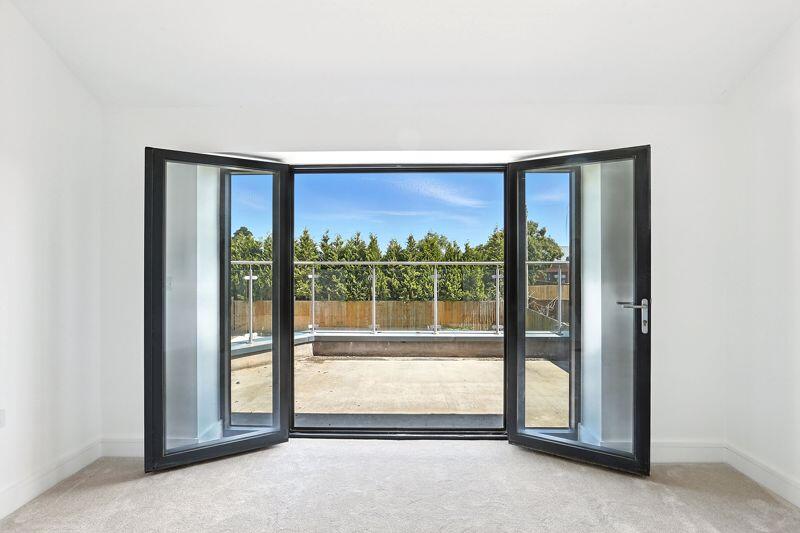
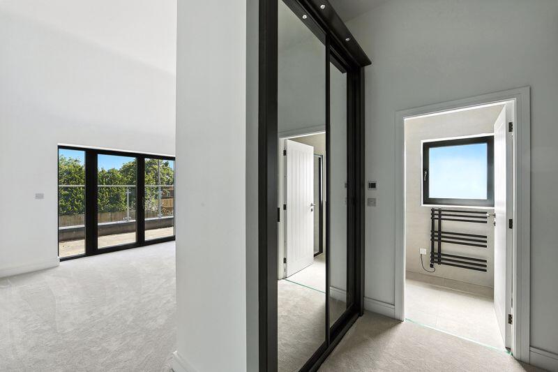
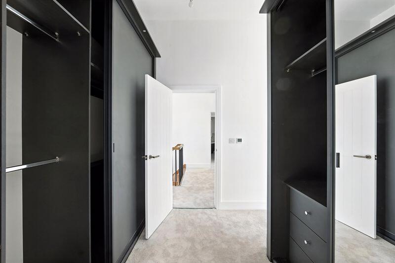
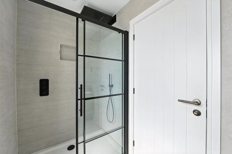
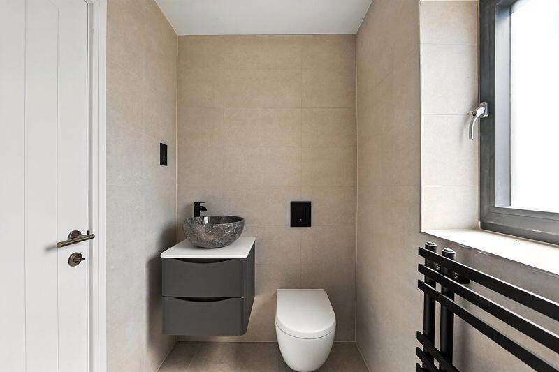
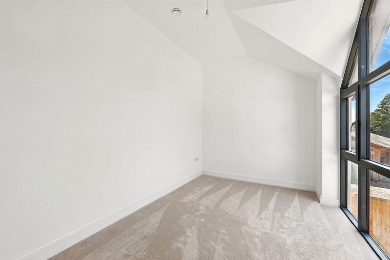
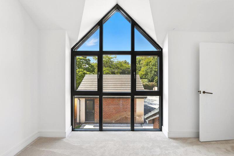
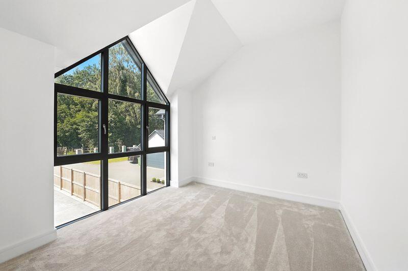
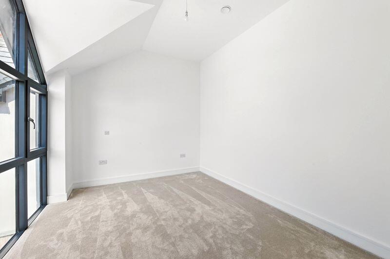
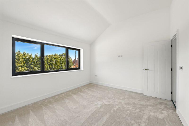
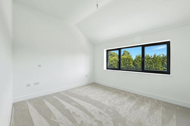
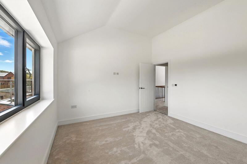
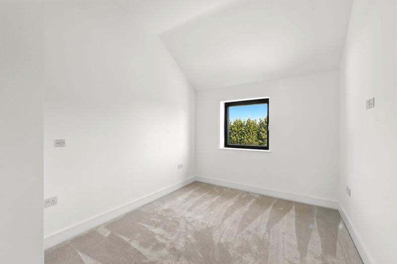
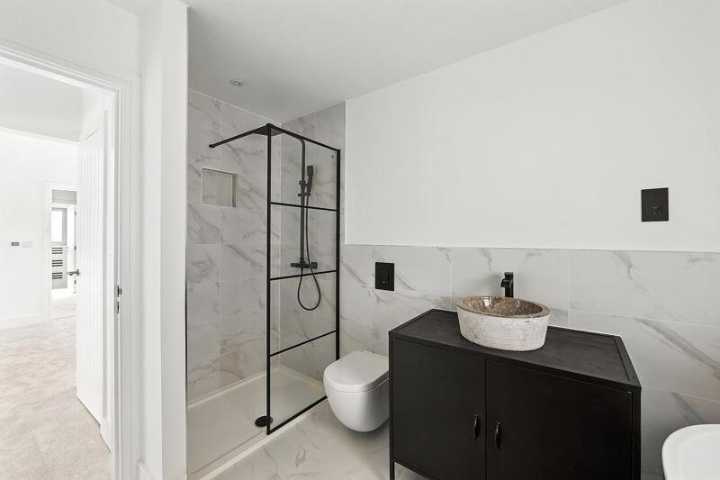
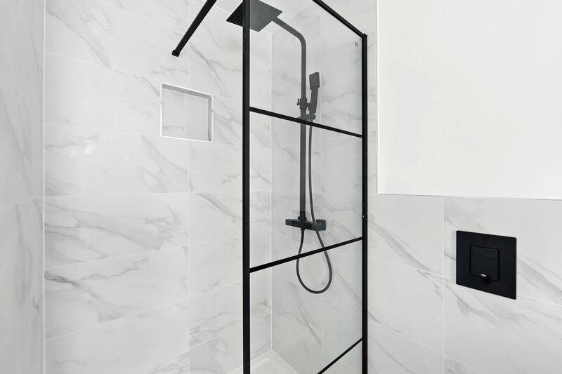
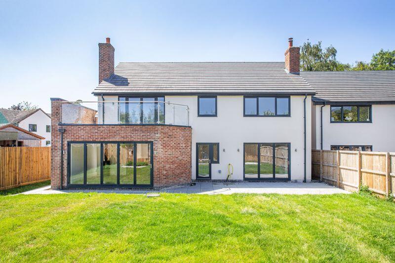
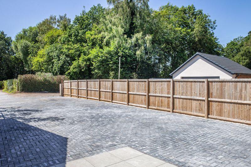
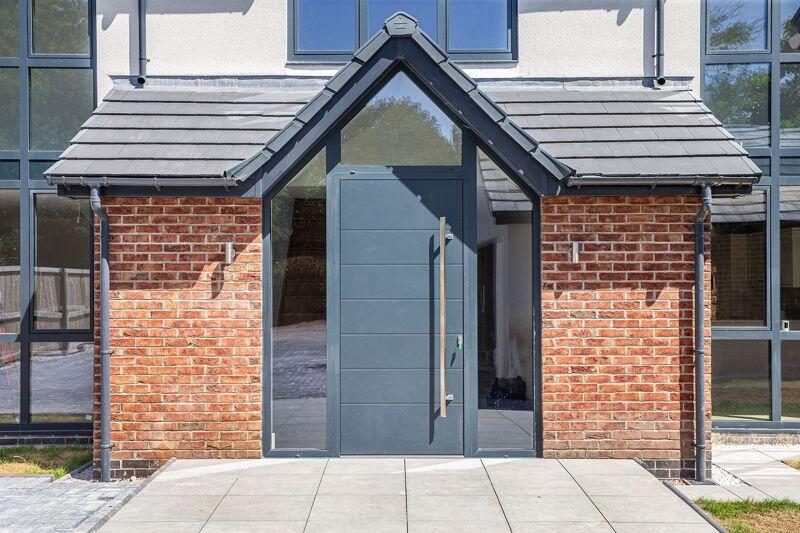
Photo 2 Photo 49 Photo 14 Photo 7 Photo 47 Photo 50 Photo 37 Photo 53 Photo 12 Photo 51 Photo 48 Photo 52 Photo 41 Photo 34 Photo 38 Photo 51 Photo 52 Photo 33 Photo 69 Photo 43 Photo 55 Photo 44 Photo 54 Photo 46 Photo 48 Photo 50 Photo 51 Photo 57 Photo 42 Photo 62 Photo 43 Photo 65 Photo 64 Photo 66 Photo 67 Photo 70 Photo 71 Photo 55 Photo 57 Photo 1
/ 40
Property details
Tenure
FREEHOLD
Council tax band
G
Local average
£365,490 (+131.2%)
Deprivation
Decile 9 (28,470 of 33,755)
Street crime
1 incident within 1 mile (May 2026)
Key features
- An exceptional and most spacious five bedroom detached contemporary residence
- Within a delightful woodland setting in a fine select location
- Incorporating design and features of the highest standards
- Constructed and appointed to exacting specifications
- Underfloor heating, air source heat system, detached double garaging with planning permission
- Superb reception accommodation and extensive open plan family dining kitchen
- Balconied master bedroom suite with dressing area and en-suite
- Four further bedrooms and luxurious family bathroom
- NO CHAIN for early completion
- Video tour available
Additional details
- Parking
- Yes
- Garden
- Yes
Description
Listed by
Nantwich
Cheshire Lamont
Reference: 154430642
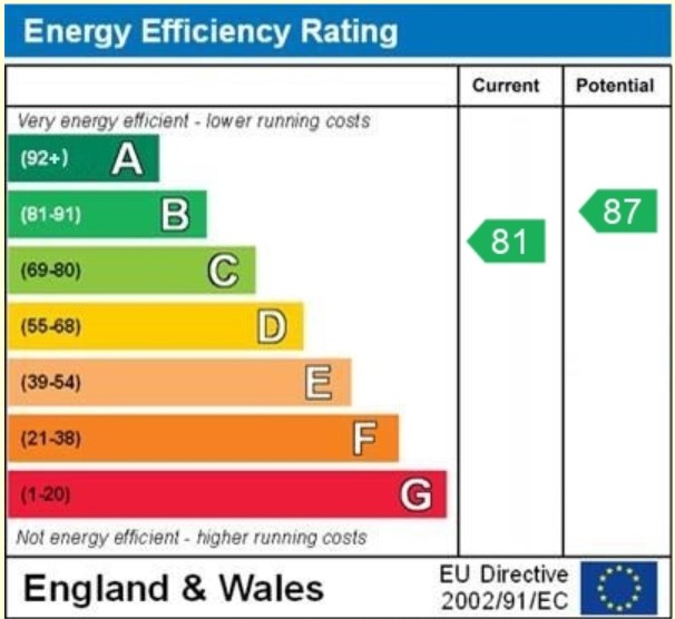
EPC ratings on this postcode
We don't have a matched EPC for this property yet. Below are efficiency scores and details for other addresses on this postcode.
| Address | Current | Potential | Floor area | Age band | Type |
|---|---|---|---|---|---|
| BIRCHWOOD HOUSE, BIRCH LANE, HOUGH, HOUGH | 65 | 76 | 181 m² | England and Wales: 2003-2006 | Detached |
| Robin, 19 Birch Lane, HOUGH, Crewe | 81 | 87 | 234 m² | — | Detached |
| The Hollies, Birch Lane, Hough, CREWE | 76 | 82 | 202 m² | — | Detached |
| Winterberry, 17 Birch Lane, Hough, CREWE | 88 | 93 | 231 m² | — | Detached |
| Woodland View, 15 Birch Lane, Hough, CREWE | 88 | 93 | 251 m² | — | Detached |
Flood risk
Zone: 1
Risk: Low
Job (default Low)
Floorplans
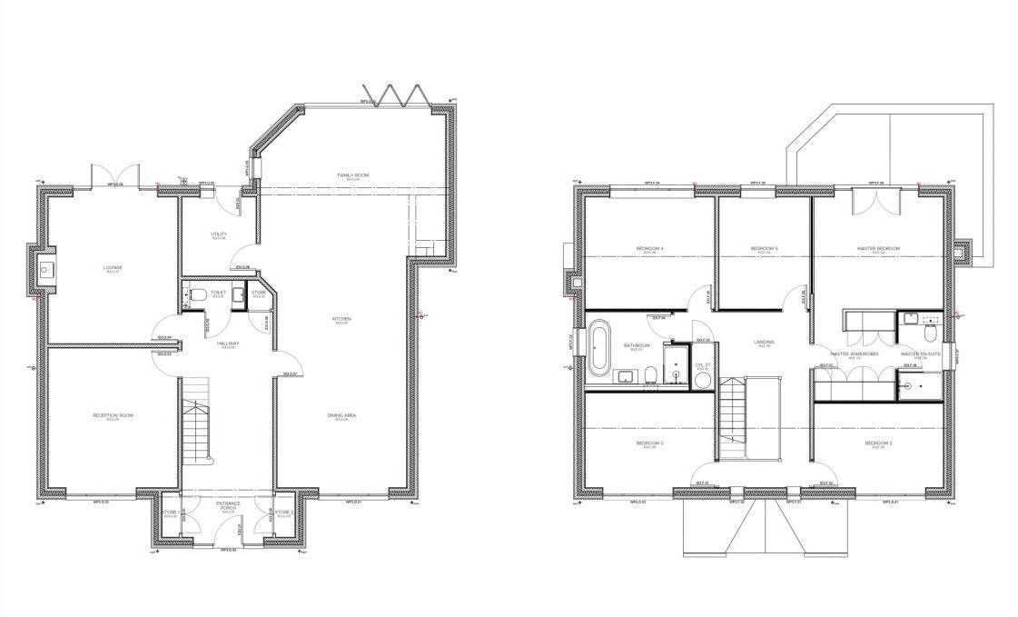
Floorplan 1
EPC Graphs
EPC

EPC Certificate
Price history
| Event | Date | Price | % change |
|---|---|---|---|
| Listed for sale | — | £845,000 | — |
Source: HM Land Registry Price Paid Data. Crown copyright.
Sold Comparables
Same street and nearby sales within 0.25 miles (last 5 years). Data from Land Registry Price Paid.
| Address | Price | Date | Type |
|---|---|---|---|
| 15 BIRCH LANE, HOUGH, CREWE, CHESHIRE EAST, CW2 5RH | £875,000 | 19/12/2023 | Detached |
| 17 WAVERTON CLOSE, HOUGH, CREWE, CHESHIRE EAST, CW2 5RB | £295,000 | 14/11/2022 | Detached |
Area average: £585,000 (2 sales)
Capital growth trend
Land Registry outcode average: last 12 months vs 5y and 10y ago (from sold prices).
House Price Index (HM Land Registry — official index, not sold-price averages): Cheshire East. Series: Detached. As of April 2026.
Rental Range
Estimated market rent for Cheshire East. Low = conservative, Realistic = average, Optimistic = best case.
Based on Local Authority from postcode lookup → Cheshire East.
LHA (30th percentile) floor for South Cheshire: £992/mo (Apr 2025 – Mar 2026)
Location
Address
Birch Lane
Nearby
Nearest stations, universities and amenities (distance from property).
| Type | Name | Distance |
|---|---|---|
| Bus stop | Hough Common, Cobbs Lane / Long Ley House | 0.1 miles |
| Shop | Freshfields Farm Eggs | 0.6 miles |
| Shop | Wybunbury Garage | 1.1 miles |
| Train station | Crewe | 2.6 miles |
| University | University of Buckingham Crewe Campus | 2.9 miles |
| Train station | Nantwich | 3.9 miles |
| University | Keele University | 7.3 miles |
| Hospital | Royal Stoke University Hospital | 9.4 miles |
| Hospital | North Staffordshire Nuffield Hospital | 9.5 miles |
Street-level crime
| Category | Count |
|---|---|
| Criminal damage and arson | 1 |
| Total incidents | 1 |
Within 1 mile during May 2026. Source: data.police.uk (England & Wales).
Schools nearby
Nearest open schools with Ofsted ratings (England). Closed schools are not shown. Data from Get Information about Schools and Ofsted.
| Name | Type | Distance | Ofsted |
|---|---|---|---|
| Wybunbury Delves CofE Primary School | Primary | 1.2 miles | Good — 7 Jun 2012 |
| Shavington Primary School | Primary | 1.2 miles | Good — 10 Oct 2014 |
| Weston Village Primary School | Primary | 1.4 miles | Good — 17 Oct 2022 |
| Shavington Academy | Secondary | 1.7 miles | Good — 17 Jun 2014 |
| The Berkeley Academy | Primary | 2.0 miles | Good — 3 Dec 2019 |
Rental Comparables
Loading rental comparables for this postcode. Refresh in a few minutes.
Rent-driven metrics
Based on Area rent estimate.
- Rent ratio — Monthly rent ÷ purchase price (1% rule). 1%+ = strong, 0.8–1% = okay, <0.8% = weak for cashflow.
- Max investor price — Rent ÷ 0.8%; the price at which rent would be 0.8% of price (Stoke-style target).
- Target investor price — Rent ÷ 1%; the price at which rent would be 1% of price (strong cashflow band).
- Gross yield — Annual rent as % of purchase price (no costs).
Enter House Number
Enter the house number to help us retrieve more accurate pricing history and property data.
Please log in to submit or correct the house number for this listing.
Log in to continue