216
BAYARD APARTMENTS, BROADWAY, PETERBOROUGH, CITY OF PETERBOROUGH PE1 1RT
£1,100 pcm
Property details
Floor area
71 m²
Council tax band
C
EPC rating
E
Street crime
769 incidents within 1 mile (Apr 2026)
Key features
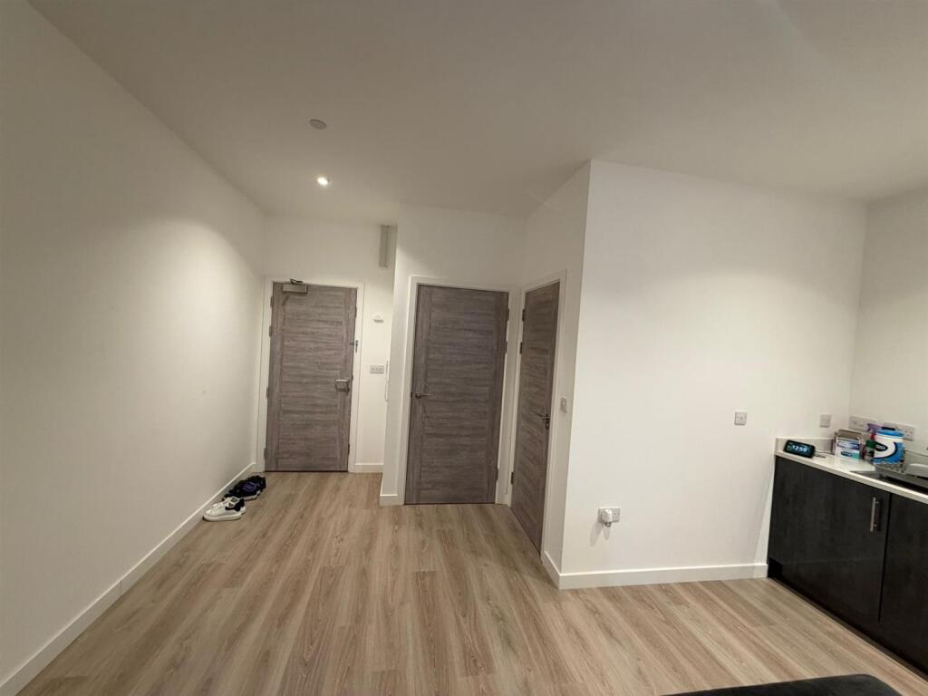
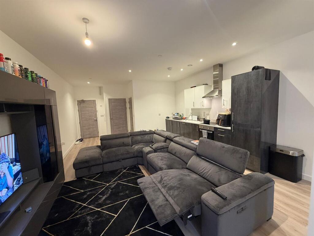
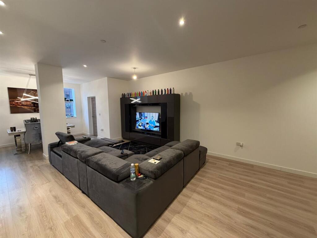
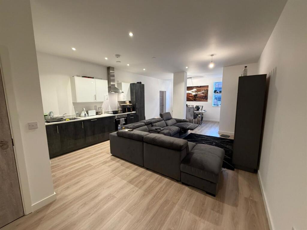
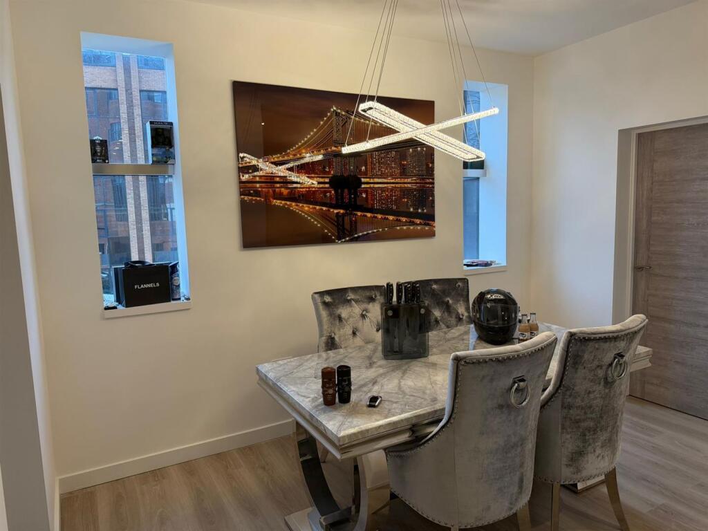
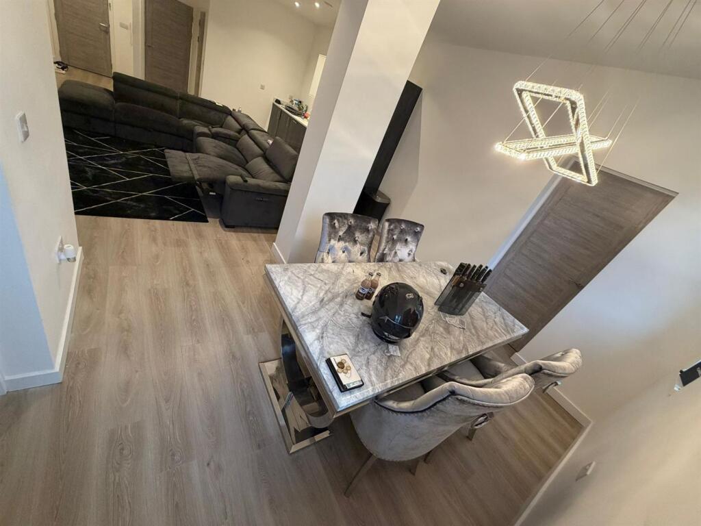
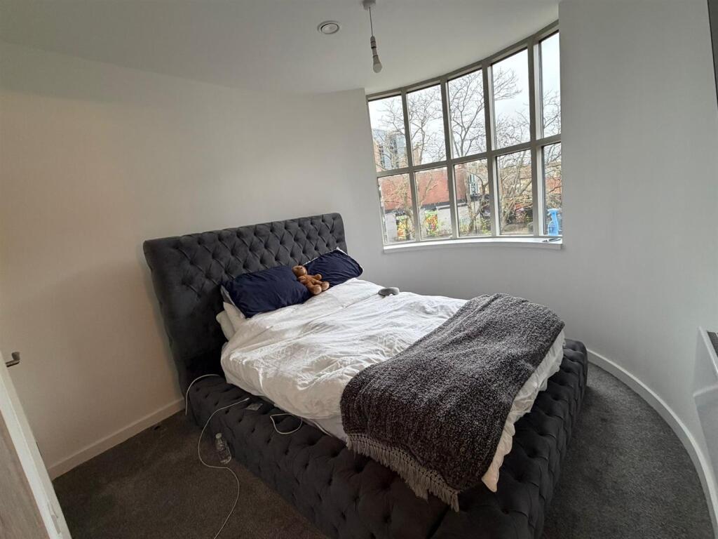
- Large open-plan lounge and dining area, ideal for entertaining
- Modern finished kitchen with high-quality integrated appliances
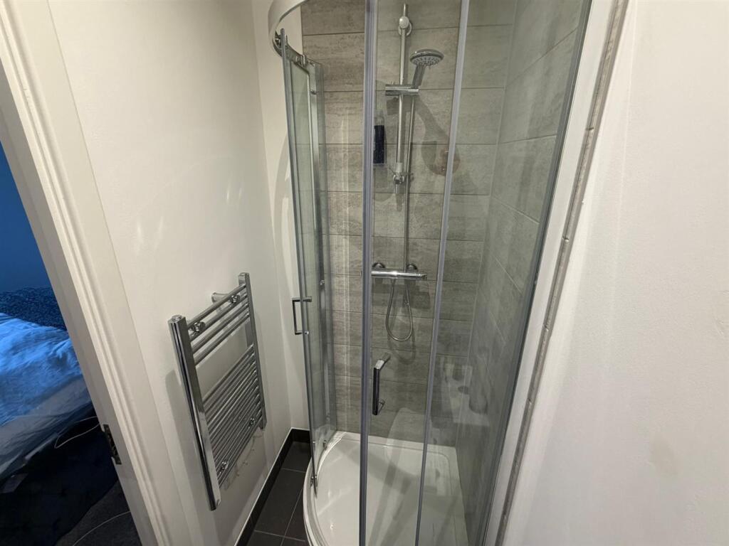
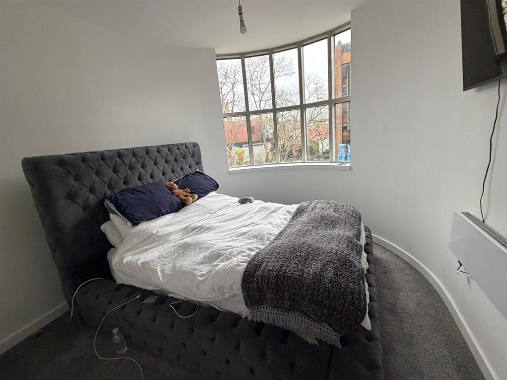
- Master bedroom with private en-suite
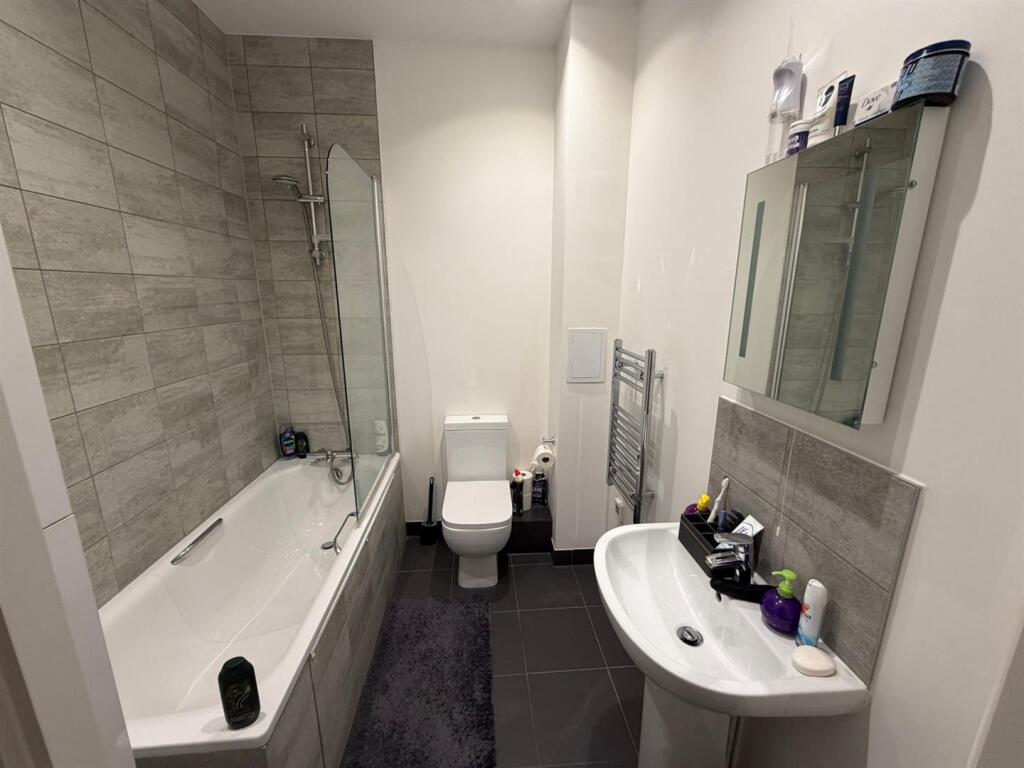
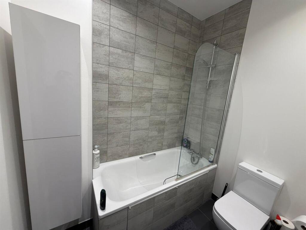
- Full family bathroom with shower-over-bath
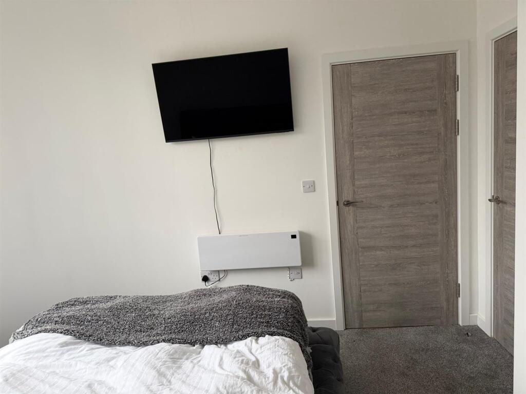
- Excellent built-in storage solutions
- Access to a residents-only gym and secure private parking
- Prime city centre spot, walking distance to major transport hubs (Train/Bus)
Additional details
- Parking
- Yes
Description
Designed with practical city living in mind, the apartment boasts ample storage throughout. Residents also enjoy exclusive access to an on-site private gym and the rare city-centre luxury of allocated private parking.
Location: Unbeatable transport links, with both the train and bus stations just a short walk away.
Listed by
Peterborough
PropertyLine
Reference: 170780624
EPC Rating & Upgrade Cost
Current rating: E
Potential rating: E
Inspection date: 09/02/2021
Expiry date: 08/02/2031
Current heating cost: £877/year
Potential heating cost: £877/year
Flood risk
Zone: 1
Risk: Low
Job (default Low)
Rental Range
Estimated market rent for Peterborough. Low = conservative, Realistic = average, Optimistic = best case.
Based on Local Authority from postcode lookup → Peterborough.
LHA (30th percentile) floor for Peterborough: £698/mo (Apr 2025 – Mar 2026)
Location
Address
Northminster
Nearby
Nearest stations, universities and amenities (distance from property).
| Type | Name | Distance |
|---|---|---|
| Shop | Peterborough Central Library | 0.1 miles |
| Shop | Betfred | 0.1 miles |
| Bus stop | Tesco stop G | 0.1 miles |
| Bus stop | Tesco Stop H | 0.1 miles |
| University | City College Peterborough | 0.2 miles |
| University | ARU Peterborough | 0.4 miles |
| Train station | Peterborough | 0.4 miles |
| Train station | Peterborough (NVR) | 0.6 miles |
| Hospital | Peterborough City Hospital | 1.7 miles |
| Hospital | Stamford & Rutland Hospital | 11.0 miles |
Street-level crime
| Category | Count |
|---|---|
| Violence and sexual offences | 252 |
| Anti-social behaviour | 129 |
| Shoplifting | 86 |
| Public order | 62 |
| Criminal damage and arson | 52 |
| Drugs | 45 |
| Other theft | 28 |
| Vehicle crime | 27 |
| Burglary | 26 |
| Other crime | 20 |
| Possession of weapons | 15 |
| Bicycle theft | 13 |
| Robbery | 7 |
| Theft from the person | 7 |
| Total incidents | 769 |
Within 1 mile during Apr 2026. Source: data.police.uk (England & Wales).
Schools nearby
Nearest open schools with Ofsted ratings (England). Closed schools are not shown. Data from Get Information about Schools and Ofsted.
| Name | Type | Distance | Ofsted |
|---|---|---|---|
| Clare Lodge | Other | 0.3 miles | — (No rating) |
| Bishop Creighton Academy | Primary | 0.3 miles | Good — 26 Nov 2023 |
| The Beeches Primary School | Primary | 0.3 miles | Good — 15 Jan 2024 |
| The King's (The Cathedral) School | Secondary | 0.4 miles | Outstanding — 10 Sep 2024 |
| Lime Academy Abbotsmede | Primary | 0.6 miles | Good — 28 Apr 2022 |
Rental Comparables
Rental listings exist nearby, but none matched the 2-bedroom count for this property.