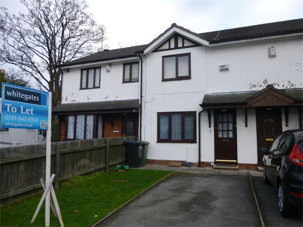
3 ST HUGHS CLOSE
PRENTON, PRENTON, MERSEYSIDE CH43 4YS
£525 pcm
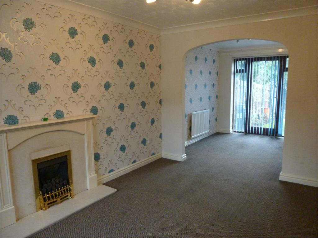
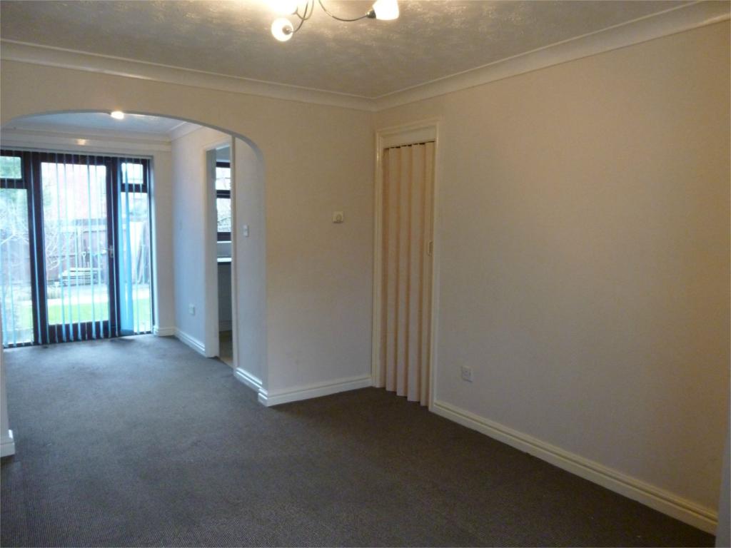
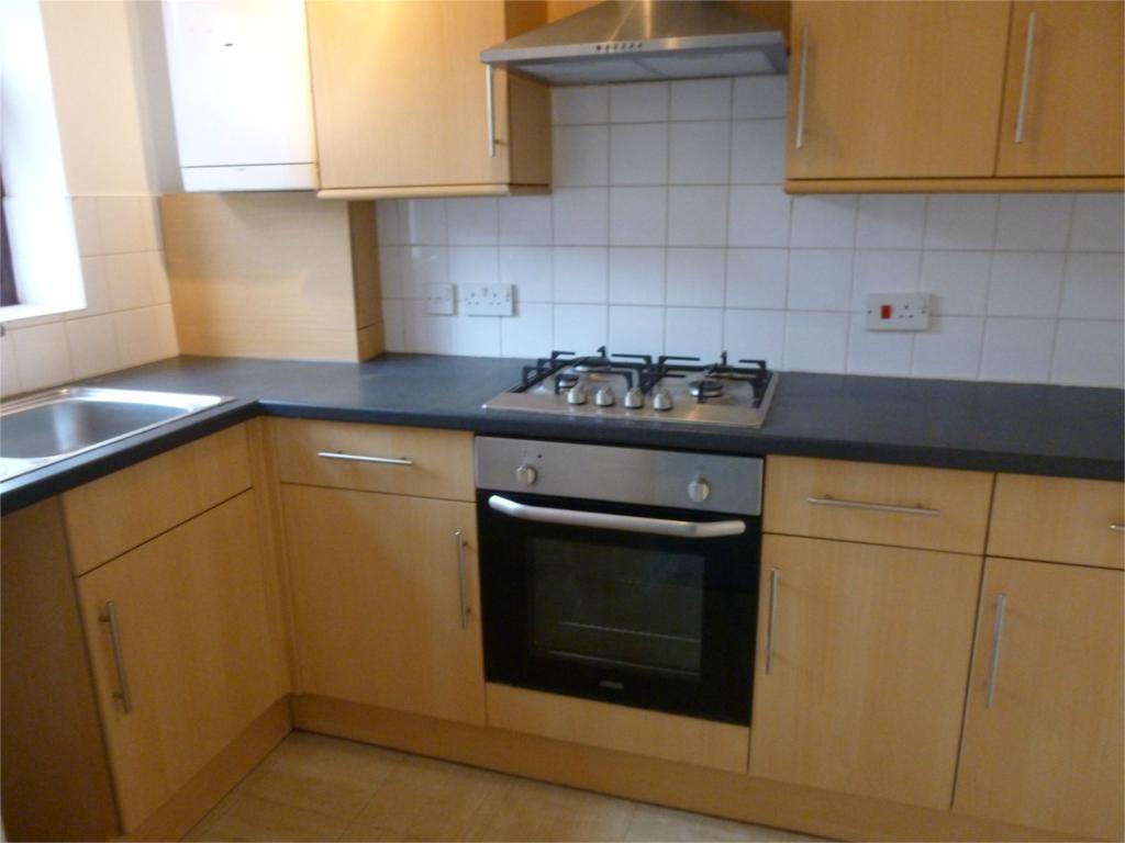
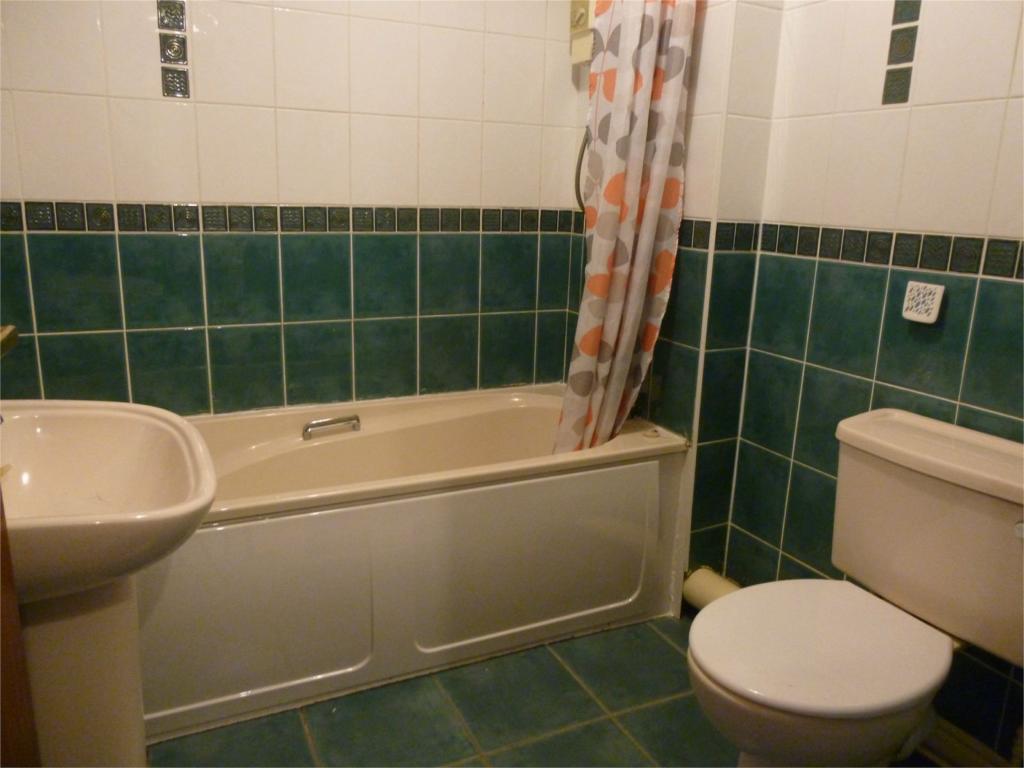
Property details
Floor area
61 m²
Year built
England and Wales: 1991-1995
Deprivation
Decile 1 (2,063 of 33,755)
Street crime
483 incidents within 1 mile (Apr 2026)
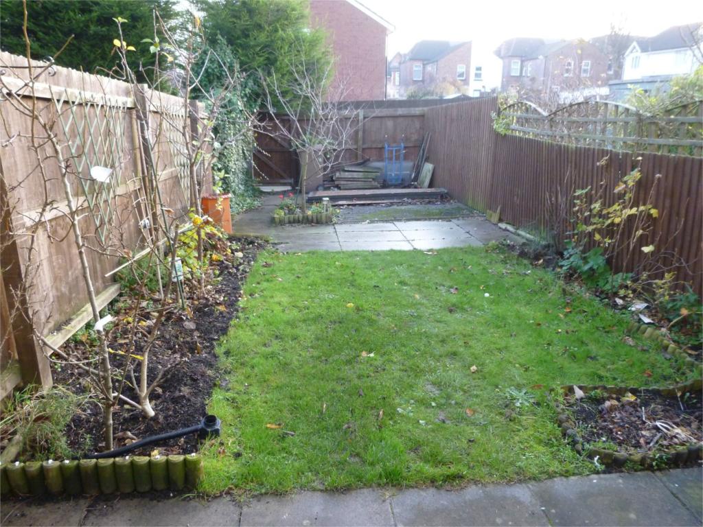
Additional details
- Parking
- Yes
- Garden
- Yes
Description
DSS ACCEPTABLE WITH SUITABLE GUARANTOR
NO PETS
NO SMOKERS
Deposit required £525.00
Listed by
Prenton
The Property Franchise Group
Reference: 61595789
EPC Rating & Upgrade Cost
Fetching EPC data… Refresh this page in a moment.
Flood risk
Zone: 1
Risk: Low
Job (default Low)
Rental Range
Estimated market rent for Wirral. Low = conservative, Realistic = average, Optimistic = best case.
Based on Local Authority from postcode lookup → Wirral.
LHA (30th percentile) floor for Wirral: £524/mo (Apr 2025 – Mar 2026)
Location
Nearby
Nearest stations, universities and amenities (distance from property).
| Type | Name | Distance |
|---|---|---|
| Bus stop | Park Road South/slatey Road | 0.0 miles |
| Shop | Big PB's Trading Post | 0.3 miles |
| Shop | Oasis | 0.4 miles |
| Train station | Birkenhead Park | 0.5 miles |
| Train station | Conway Park | 0.8 miles |
| Hospital | Parkfield Medical Centre | 2.5 miles |
| Hospital | Clatterbridge Cancer Centre - Wirral | 4.1 miles |
| University | Liverpool Hope University | 6.1 miles |
Street-level crime
| Category | Count |
|---|---|
| Violence and sexual offences | 160 |
| Shoplifting | 68 |
| Anti-social behaviour | 51 |
| Drugs | 41 |
| Public order | 41 |
| Criminal damage and arson | 32 |
| Vehicle crime | 26 |
| Other theft | 22 |
| Burglary | 16 |
| Other crime | 10 |
| Possession of weapons | 6 |
| Robbery | 6 |
| Bicycle theft | 3 |
| Theft from the person | 1 |
| Total incidents | 483 |
Within 1 mile during Apr 2026. Source: data.police.uk (England & Wales).
Schools nearby
Nearest open schools with Ofsted ratings (England). Closed schools are not shown. Data from Get Information about Schools and Ofsted.
| Name | Type | Distance | Ofsted |
|---|---|---|---|
| Birkenhead Park School | Secondary | 0.1 miles | Requires improvement — 18 Jan 2024 |
| St Anselm's College | Secondary | 0.3 miles | Good — 23 Jul 2019 |
| Birkenhead High School Academy | Other | 0.4 miles | Good — 18 Jun 2023 |
| Progress Schools - Wirral | Other | 0.4 miles | Good — 5 Dec 2022 |
| Birkenhead Christ Church CofE Primary School | Primary | 0.5 miles | Good — 1 Mar 2024 |
Rental Comparables
Residential lets from OpenRent and Rightmove for the area (same bedroom count). Use to validate rent estimates. Student lets are excluded.
| Title | Rent | Beds | Distance | As seen on |
|---|---|---|---|---|
| 2 Bed Flat, Park Road South, CH43 | £765/mo | 2 | 0.02 miles | OpenRent |
| 2 Bed Terraced House, Falkland St, CH41 | £800/mo | 2 | 0.78 miles | OpenRent |
Average rent: £783/mo (2 listings)