217D
LATCHMERE ROAD, LONDON, GREATER LONDON SW11 2LA
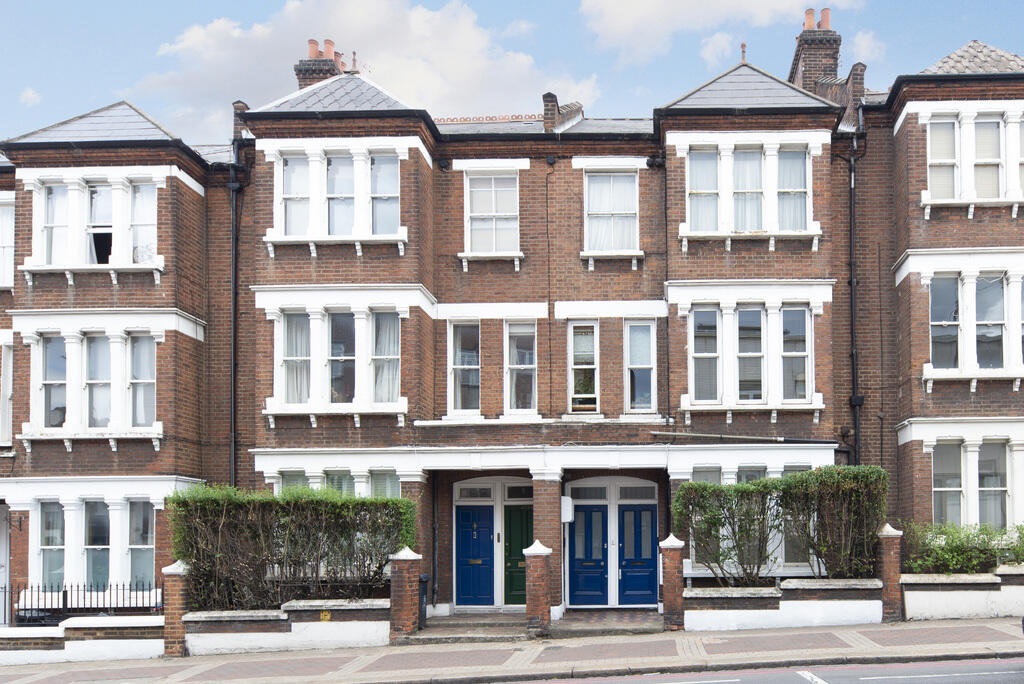
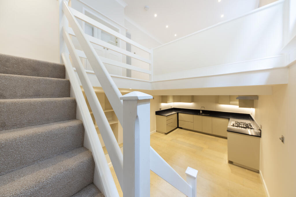
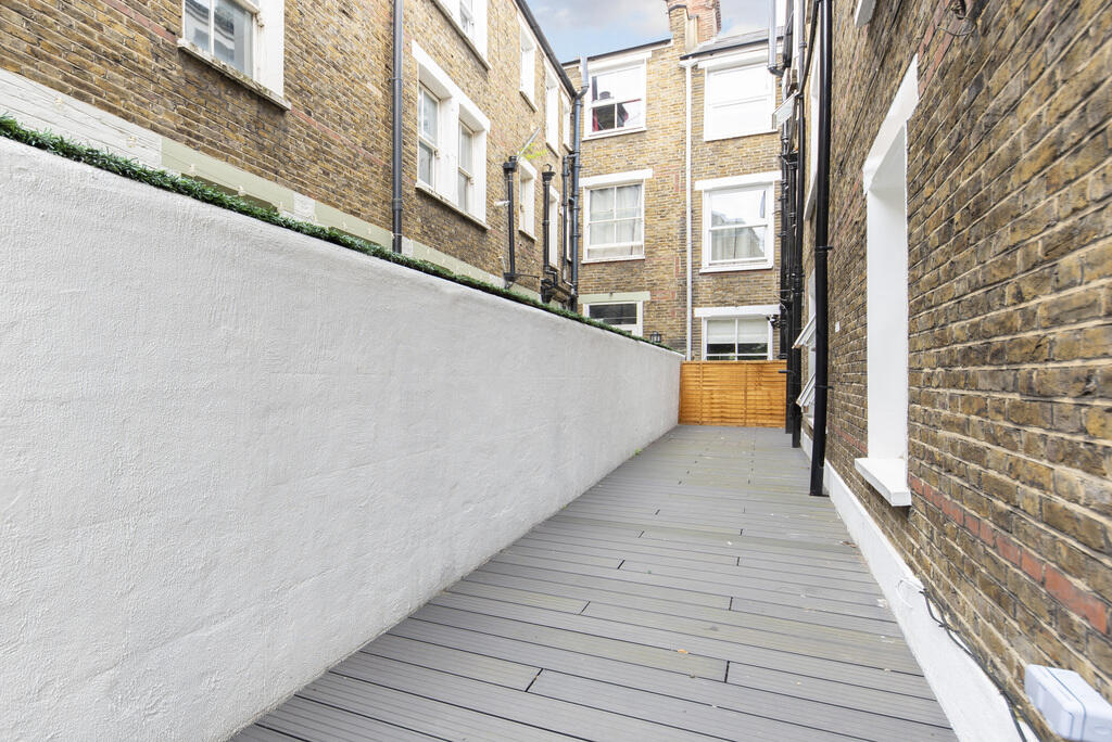
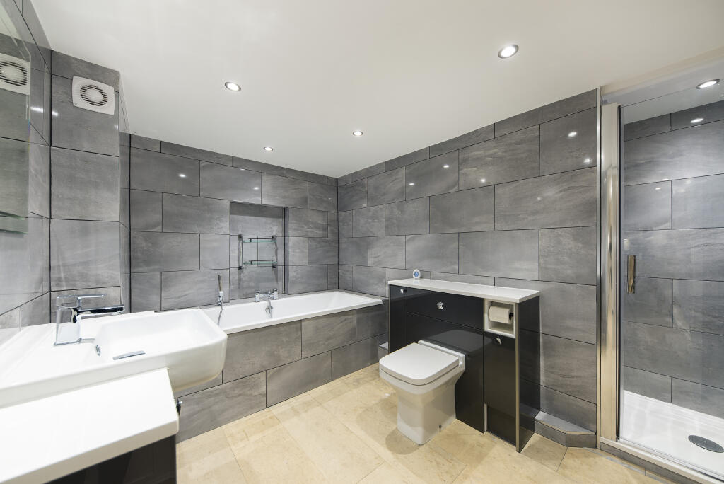
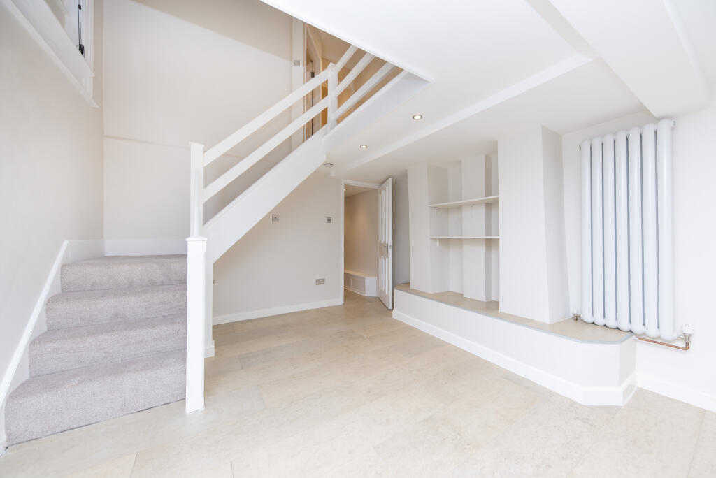
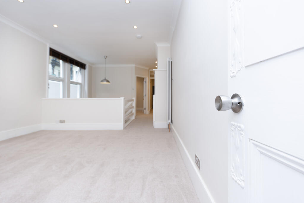
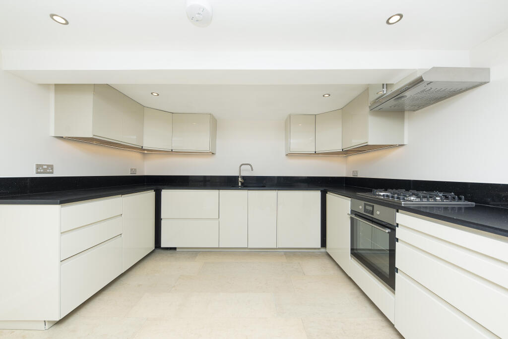
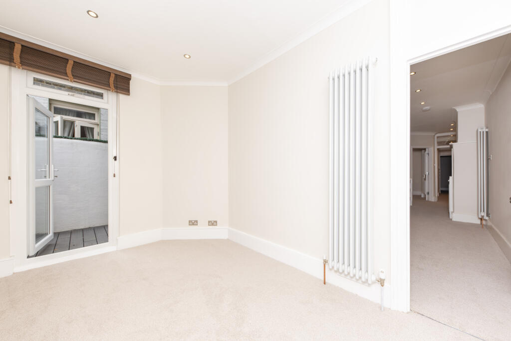
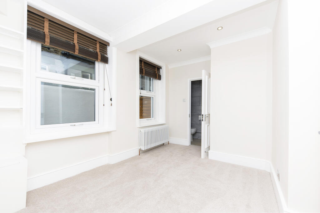
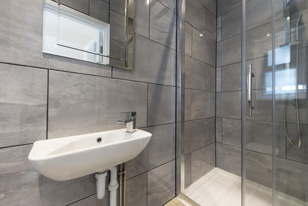
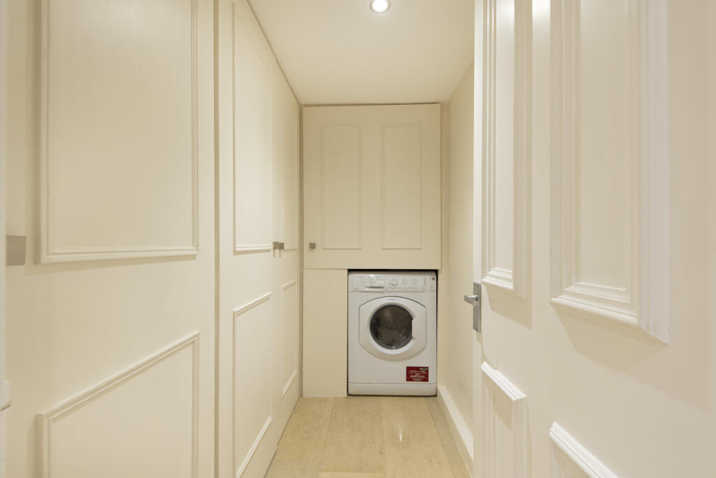
Photo 1 Photo 2 Photo 3 Photo 4 Photo 5 Photo 6 Photo 7 Photo 8 Photo 9 Photo 10 Photo 11
/ 11
Property details
Floor area
99 m²
Council tax band
D
Deprivation
Decile 7 (22,890 of 33,755)
Street crime
857 incidents within 1 mile (Apr 2026)
Key features
- 2 Bedrooms
- Unfurnished
- Private Patio
- Council Tax Band - D
- Excellent storage space
- High quality fittings
- Central location
- Private patio
- Excellent condition throughout
Additional details
- Garden
- Yes
Description
The closest transport link is Clapham Junction (National Rail and Overground) which offers excellent connections across Central London. Latchmere Road is ideally located within walking distance of the restaurants, shops and entertainment of Northcote Road.
Listed by
Battersea
Winchester White
Reference: 87446664
EPC Rating & Upgrade Cost
Fetching EPC data… Refresh this page in a moment.
Flood risk
Zone: 1
Risk: Low
Job (default Low)
Floorplans
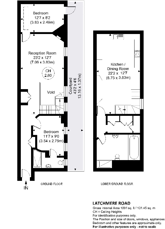
Floorplan 1
EPC Graphs
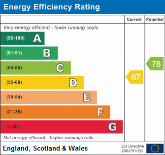
EPC 1
Company ownership
Registered legal owner is a company.
Company: 217 LATCHMERE ROAD MANAGEMENT COMPANY LIMITED (05983498)
Rental Range
Estimated market rent for Wandsworth. Low = conservative, Realistic = average, Optimistic = best case.
Based on Local Authority from postcode lookup → Wandsworth.
LHA (30th percentile) floor for Stevenage & North Herts: £972/mo (Apr 2025 – Mar 2026)
Location
Nearby
Nearest stations, universities and amenities (distance from property).
| Type | Name | Distance |
|---|---|---|
| Shop | Costcutter | 0.0 miles |
| Shop | The Print Design | 0.0 miles |
| Bus stop | Battersea Arts Centre | 0.1 miles |
| Bus stop | Lavender Hill Police Station | 0.1 miles |
| Train station | Clapham Junction | 0.4 miles |
| Hospital | Bridge Lane Health Centre | 0.6 miles |
| Train station | Queenstown Road | 1.0 miles |
| University | National Heart and Lung Institute | 1.6 miles |
| University | BIMM Institute London | 1.8 miles |
| Hospital | King's College Hospital Emergency Department | 3.0 miles |
Street-level crime
| Category | Count |
|---|---|
| Anti-social behaviour | 228 |
| Violence and sexual offences | 170 |
| Vehicle crime | 91 |
| Other theft | 73 |
| Shoplifting | 65 |
| Burglary | 55 |
| Public order | 36 |
| Criminal damage and arson | 31 |
| Bicycle theft | 28 |
| Drugs | 24 |
| Robbery | 23 |
| Theft from the person | 19 |
| Other crime | 8 |
| Possession of weapons | 6 |
| Total incidents | 857 |
Within 1 mile during Apr 2026. Source: data.police.uk (England & Wales).
Schools nearby
Nearest open schools with Ofsted ratings (England). Closed schools are not shown. Data from Get Information about Schools and Ofsted.
| Name | Type | Distance | Ofsted |
|---|---|---|---|
| Shaftesbury Park Primary School | Primary | 0.3 miles | Good — 29 Nov 2013 |
| Sacred Heart Catholic Primary School, Battersea | Primary | 0.4 miles | Good — 26 Sep 2023 |
| Parkgate House School | Other | 0.4 miles | Outstanding — 28 Apr 2022 |
| Belleville Wix Academy | Primary | 0.5 miles | Good — 2 Dec 2019 |
| John Burns Primary School | Primary | 0.5 miles | Good — 6 Feb 2018 |
Rental Comparables
Rental comparables are temporarily unavailable while listing-site fetches are paused. Try again later.