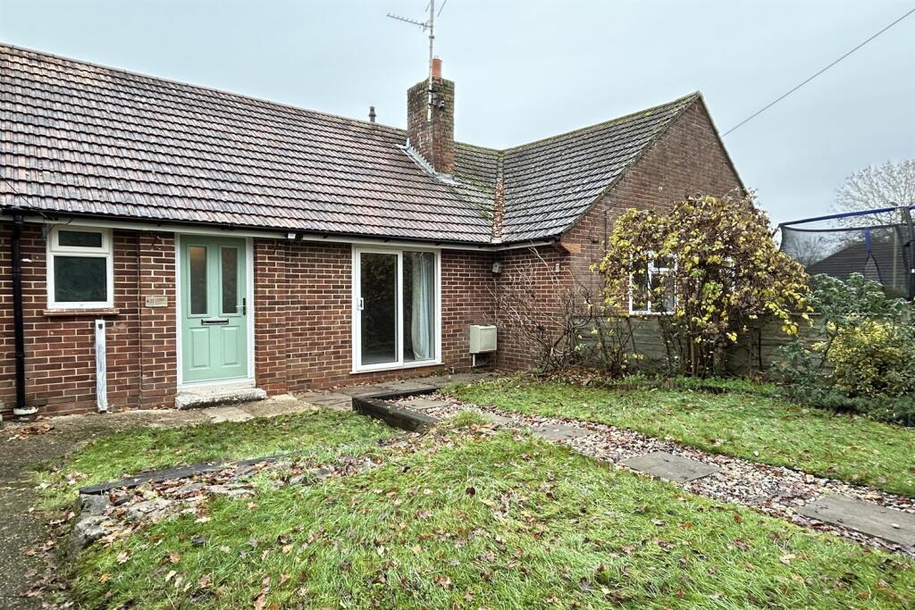
42 GODDARDS CLOSE
HOOK, SHERFIELD ON LODDON, HAMPSHIRE RG27 0EG
£1,250 pcm
Property details
Floor area
42 m²
Council tax band
B
EPC rating
C
Year built
England and Wales: 1950-1966
Deprivation
Decile 8 (25,925 of 33,755)
Street crime
10 incidents within 1 mile (Mar 2026)
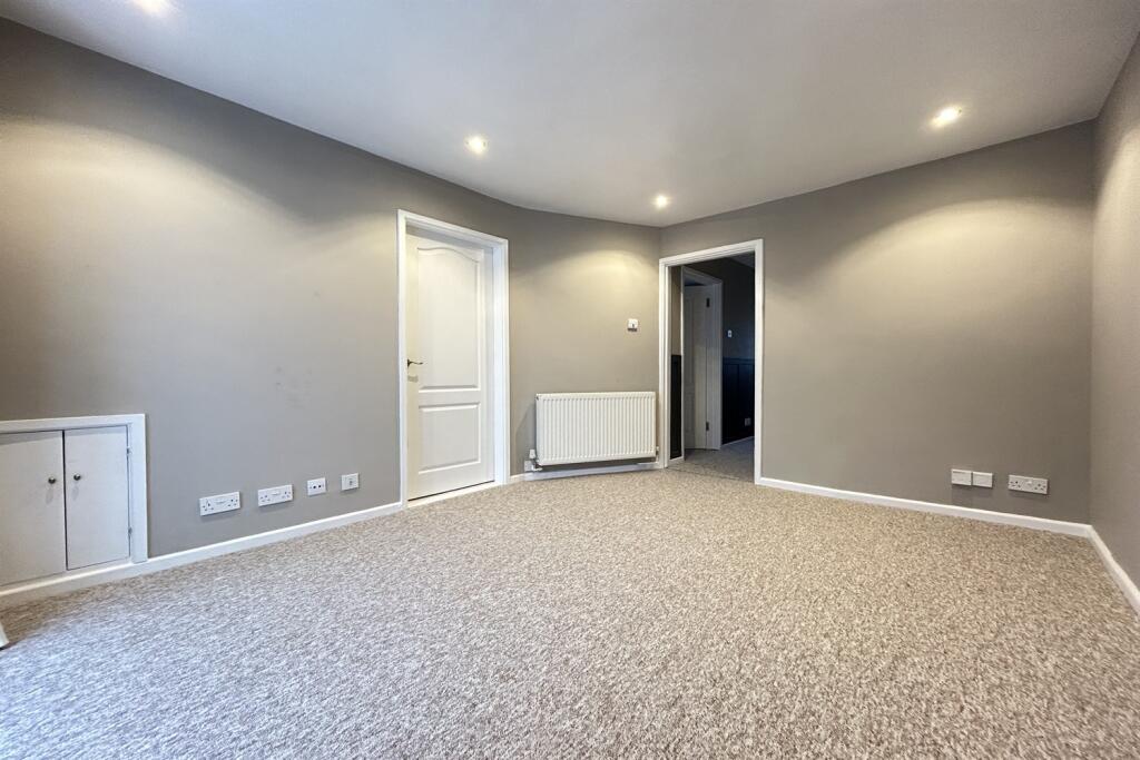
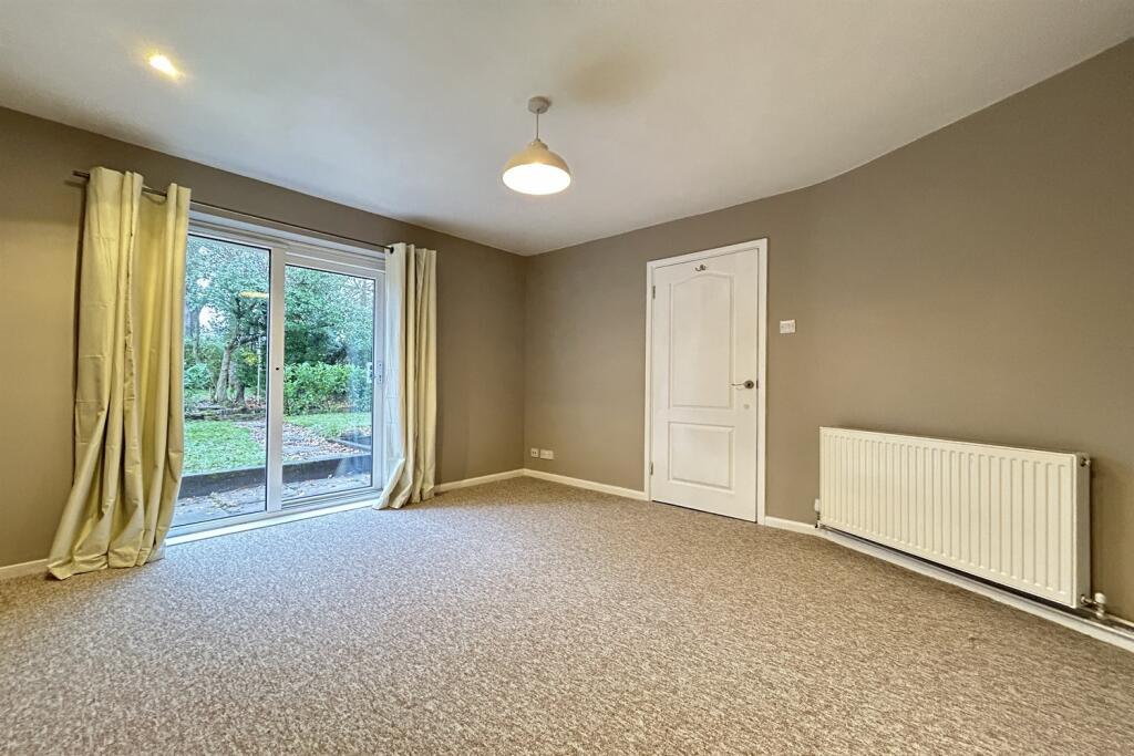
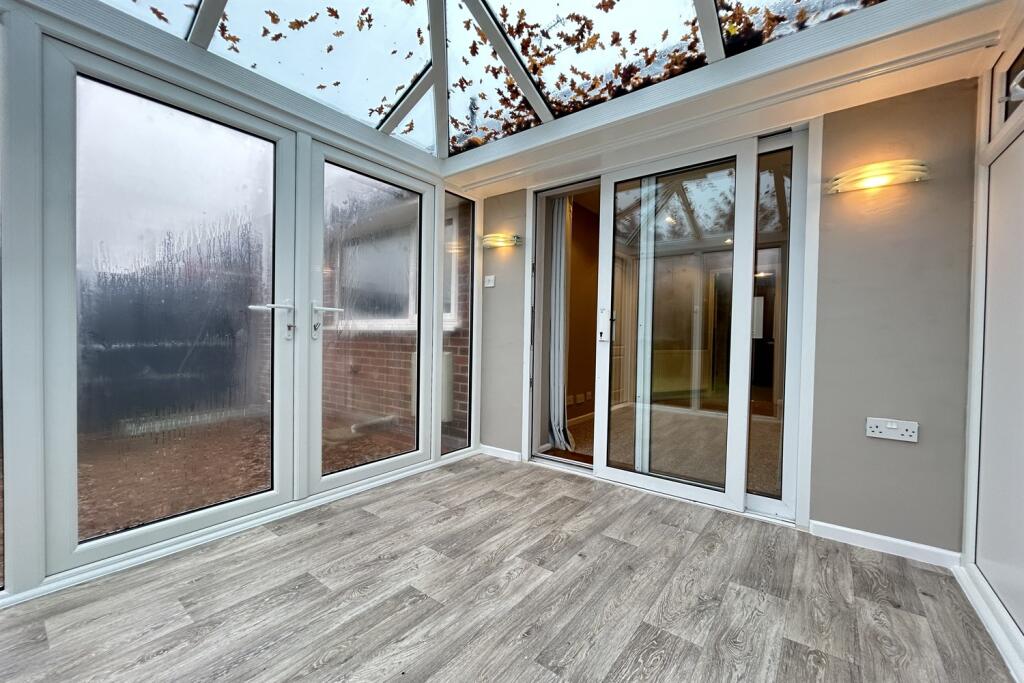
Key features
- Village location
- One Bedroom
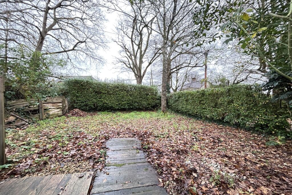
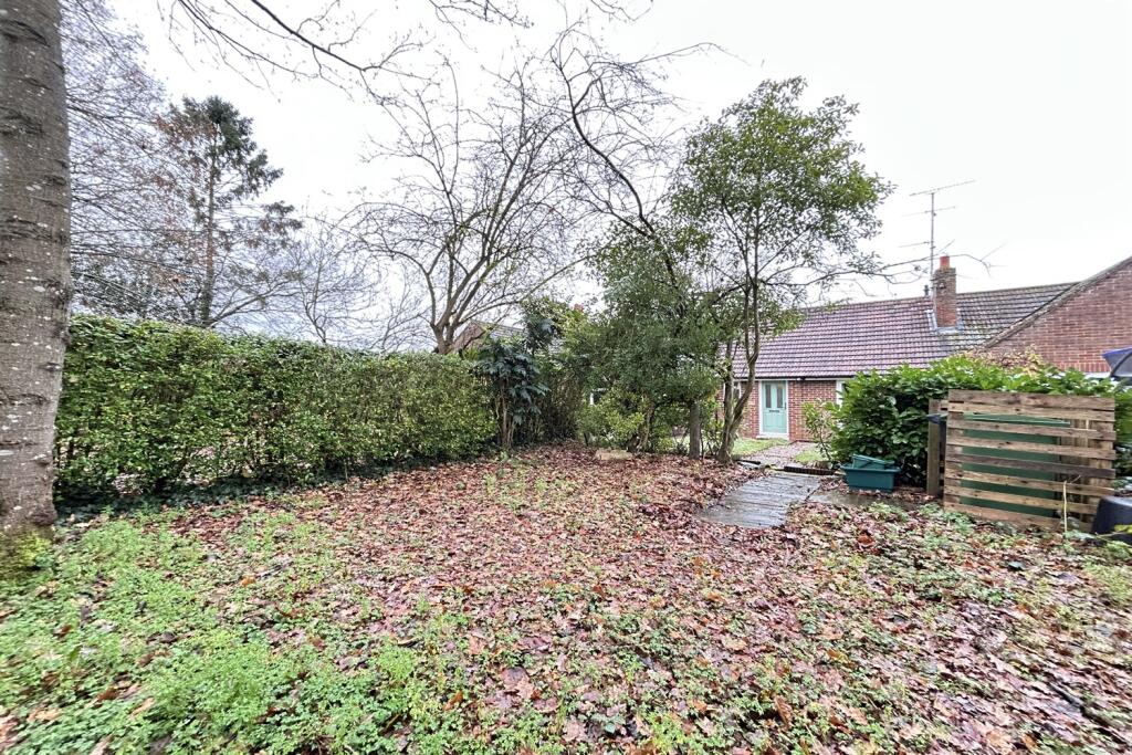
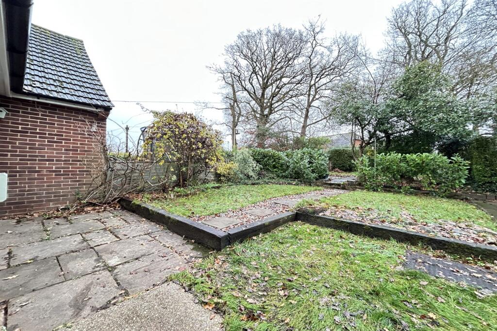
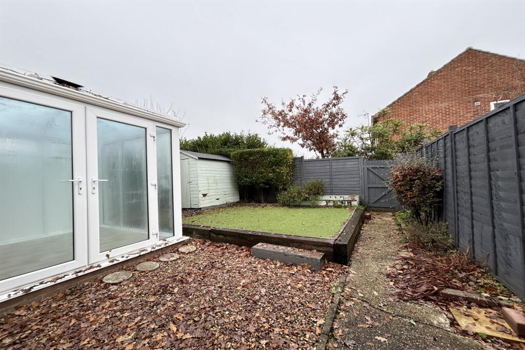
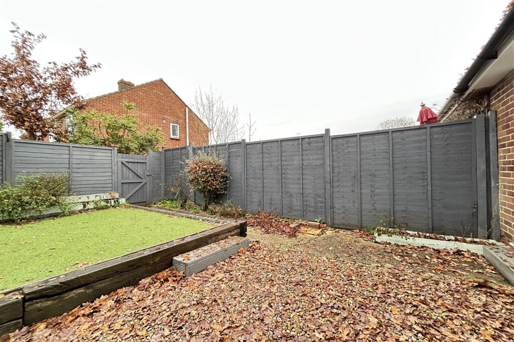
- Gardens to front and rear
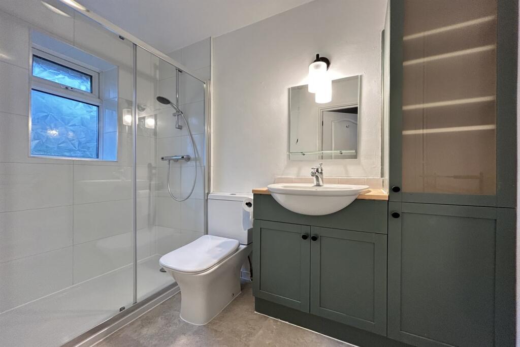
- Shower Room
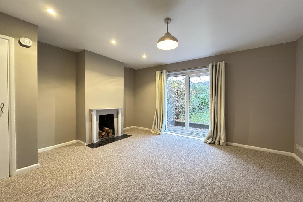
- Sitting Room
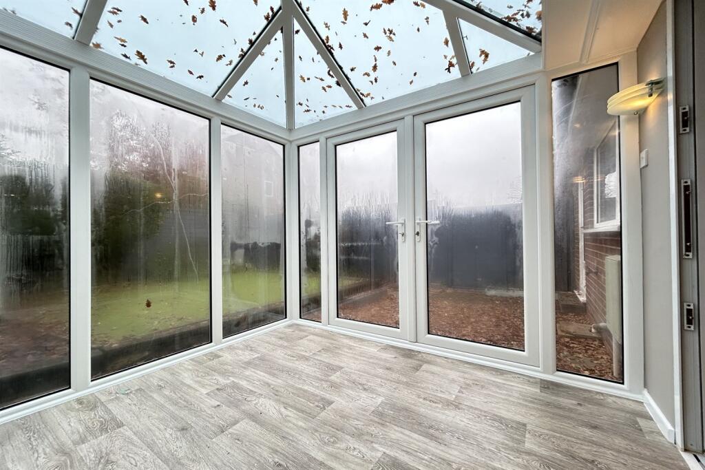
- Conservatory
Additional details
- Electricity
- Mains supply
- Broadband
- FTTC (fibre to the cabinet)
- Water
- Mains supply
- Sewerage
- Mains supply
- Heating
- Gas
- Garden
- Yes
- Listed property
- No
- Restrictions
- No
- Required access
- No
- Rights of way
- No
- Flooded in last 5 years
- No
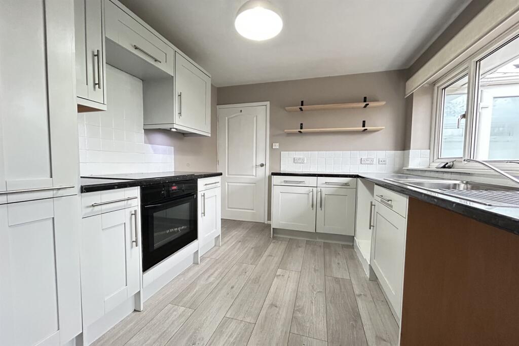
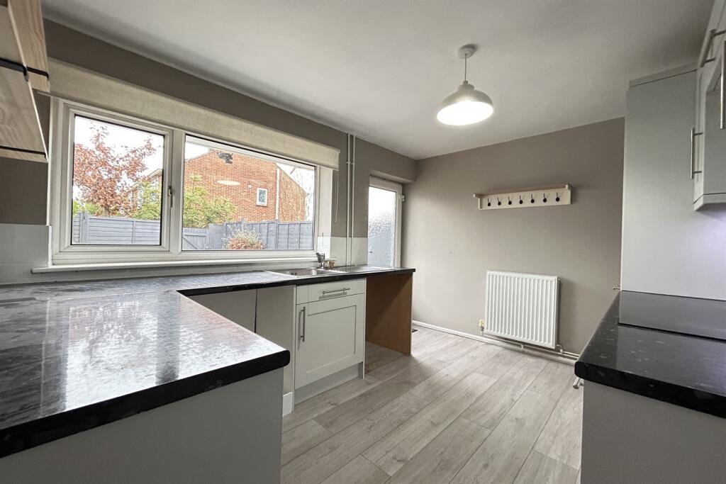
Description
**
One bedroom situated within walking distance of the village of Sherfield on Loddon, with village hall, local shops, pubs and village green, together with easy access to Basingstoke and Reading. EPC Rating: C/70
Council Tax Band B - £1737.07
To book an appointment to view this property please phone the Basingstoke Lettings branch and quote ID: 102114.
Disclaimer**
Simmons & Sons Surveyors LLP for themselves and for the vendors or lessors of the property whose agents they are give notice that: (i) the particulars are produced in good faith, are set out as a general guide only and do not constitute any part of a contract or offer; (ii) all descriptions, dimensions, references to condition and necessary permissions for use and occupation, and any other details are given in good faith and are believed to be correct, but any intending purchasers or tenants should not rely on them as statements or representations of fact but must satisfy themselves by inspection or otherwise as to the correctness of each of them; (iii) No person in the employment of Simmons & Sons has any authority to make or give any representation or warranty whatsoever in relation to this property.
Listed by
Basingstoke
Simmons & Sons
Reference: 170380241
EPC Rating & Upgrade Cost
Current rating: C
Potential rating: B
Inspection date: 12/06/2025
Current heating cost: £419/year
Potential heating cost: £365/year
Est. upgrade cost to C: £16,000
Recommendations
- Floor insulation (solid floor) (£4,000 - £6,000)
- Solar water heating (£4,000 - £6,000)
- High performance external doors (£1,500)
- Solar photovoltaic panels, 2.5 kWp (£3,500 - £5,500)
Flood risk
Zone: 1
Risk: Low
Job (default Low)
EPC Graphs

EPC Graph
Rental Range
Estimated market rent for Basingstoke and Deane. Low = conservative, Realistic = average, Optimistic = best case.
Based on Local Authority from postcode lookup → Basingstoke and Deane.
LHA (30th percentile) floor for Basingstoke: £778/mo (Apr 2025 – Mar 2026)
Location
Nearby
Nearest stations, universities and amenities (distance from property).
| Type | Name | Distance |
|---|---|---|
| Bus stop | Goddards Close | 0.1 miles |
| Shop | Dodd's Garage | 0.2 miles |
| Shop | The Shop | 0.2 miles |
| Train station | Bramley | 1.6 miles |
| Train station | Hook | 3.9 miles |
| Hospital | Parklands Hospital | 4.1 miles |
| Hospital | Coronary Care Unit (CCU) and Cardiology Ward | 4.2 miles |
| University | University of Reading - Whiteknights Campus | 9.4 miles |
| University | University of Reading, London Road Campus | 9.8 miles |
Street-level crime
| Category | Count |
|---|---|
| Violence and sexual offences | 4 |
| Other theft | 2 |
| Burglary | 1 |
| Other crime | 1 |
| Public order | 1 |
| Theft from the person | 1 |
| Total incidents | 10 |
Within 1 mile during Mar 2026. Source: data.police.uk (England & Wales).
Schools nearby
Nearest open schools with Ofsted ratings (England). Closed schools are not shown. Data from Get Information about Schools and Ofsted.
| Name | Type | Distance | Ofsted |
|---|---|---|---|
| Sherfield School | Other | 0.6 miles | — (No rating) |
| The Loddon School | Other | 0.8 miles | Outstanding — 14 Dec 2022 |
| Bramley Church of England Primary School | Primary | 1.7 miles | Good — 22 Apr 2016 |
| Four Lanes Infant School | Primary | 1.8 miles | Good — 14 Jun 2023 |
| Four Lanes Community Junior School | Primary | 1.8 miles | Good — 15 Jul 2024 |
Rental Comparables
Residential lets from OpenRent and Rightmove for the area (same bedroom count). Use to validate rent estimates. Student lets are excluded.
| Title | Rent | Beds | Distance | As seen on |
|---|---|---|---|---|
| 1 Bed Flat, Reading Road, RG27 | £1,050/mo | 1 | 0.24 miles | OpenRent |
Average rent: £1,050/mo (1 listing)