Congleton Road
Biddulph, Stoke-on-Trent, Staffordshire, ST8, ST8 6QJ
£795 pcm
Property details
Council tax band
A
Deprivation
Decile 8 (25,512 of 33,755)
Street crime
75 incidents within 1 mile (Aug 2026)
Key features
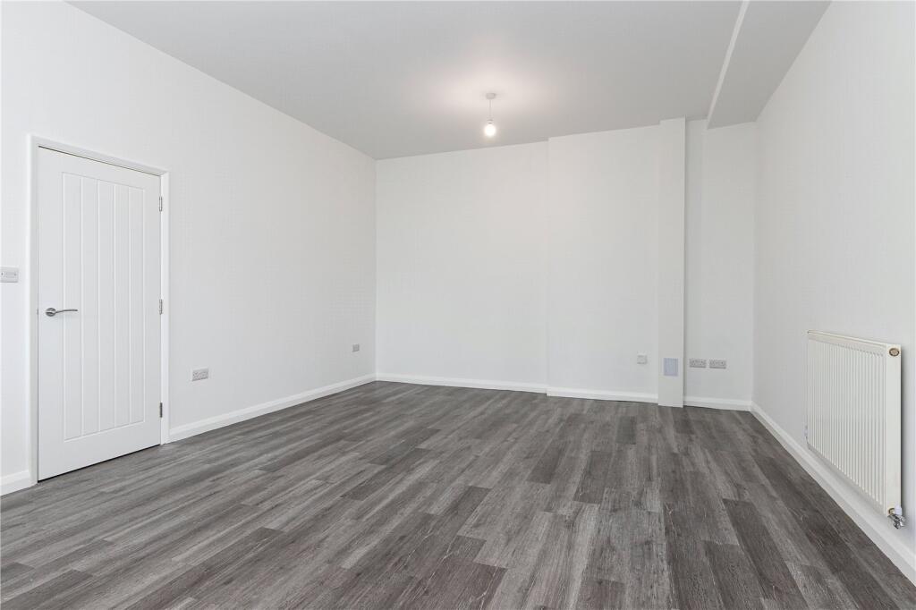
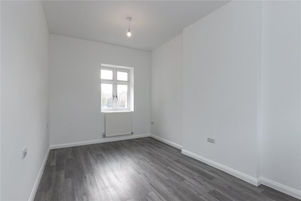
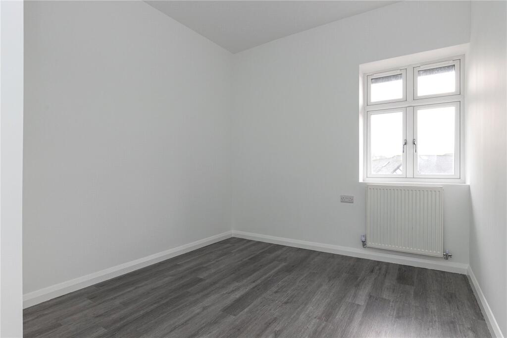
- Two Bedroom First Floor Apartment
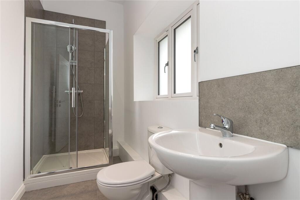
- Shower Room
- On-Site Parking For All Apartments
- Walking Distance From Biddulph Town Centre
- Viewing Highly Recommended
Additional details
- Electricity
- Mains supply
- Water
- Mains supply
- Sewerage
- Mains supply
- Heating
- Double glazing, Gas central
- Accessibility
- No wheelchair access
- Parking
- Residents
- Restrictions
- No
- Required access
- No
- Flooded in last 5 years
- No
- Flood defences
- No
Description
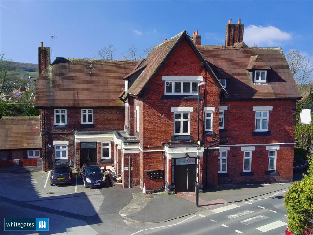
An unrivalled opportunity to live within the stunningly refurbished Biddulph Arms on Congleton Road, Biddulph.
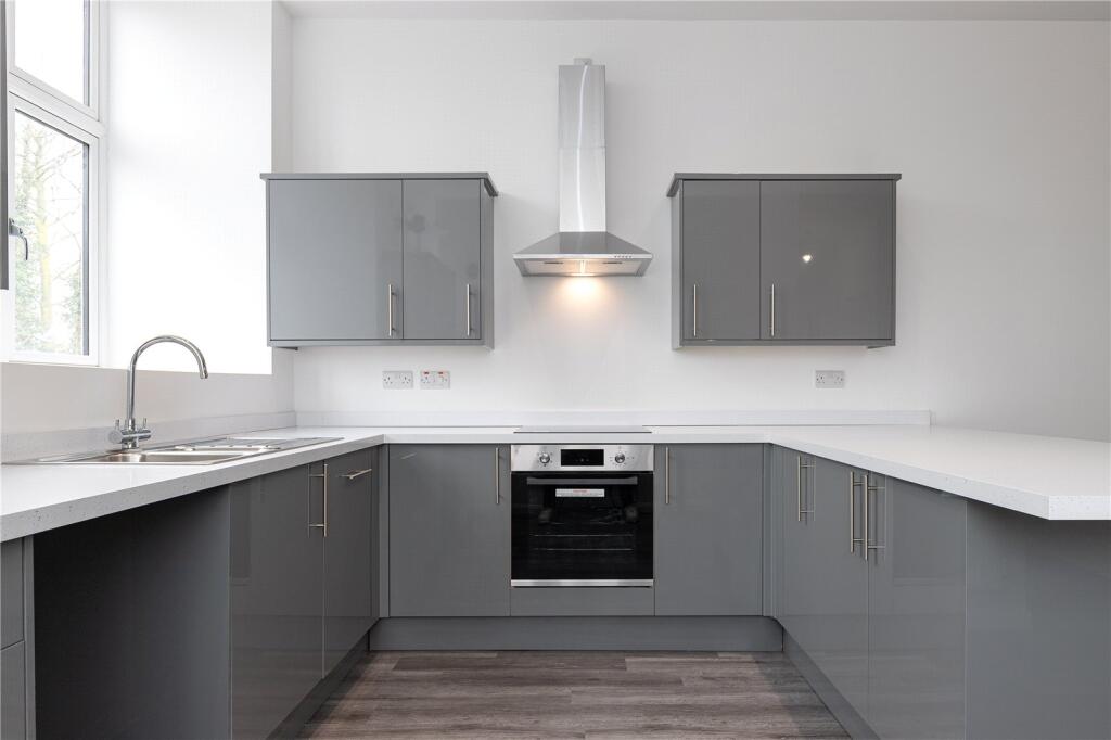
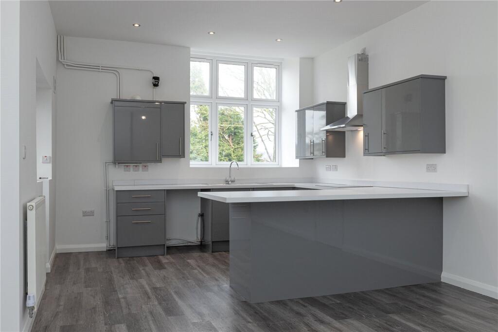
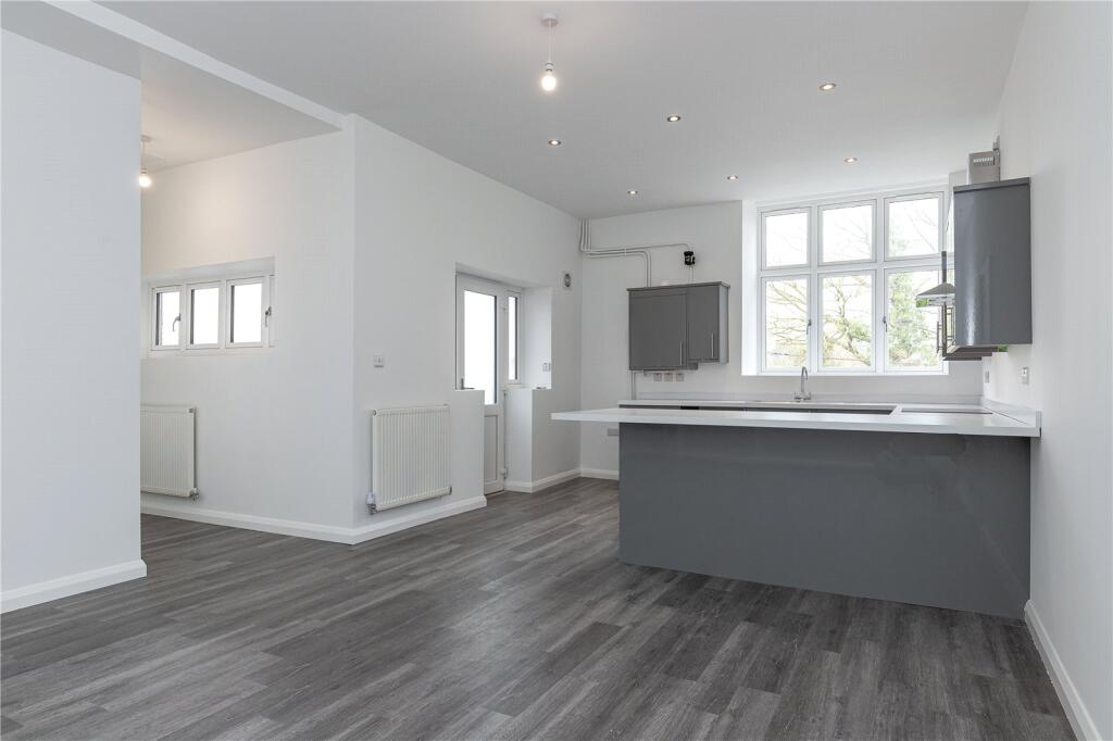
Apartment Overview: 2-bed, first-floor, apartment with shower room and two, allocated, parking spaces.
Offering comfortable, modern, living set within a well-known, and much loved, Biddulph landmark.
Listed by
Macclesfield
The Property Franchise Group
Reference: 94469127
EPC ratings on this postcode
We don't have a matched EPC for this property yet. Below are efficiency scores and details for other addresses on this postcode.
| Address | Current | Potential | Floor area | Age band | Type |
|---|---|---|---|---|---|
| 135 Congleton Road, Biddulph, STOKE-ON-TRENT | 68 | 80 | 202 m² | England and Wales: 1950-1966 | Detached |
| 139, Congleton Road, Biddulph, STOKE-ON-TRENT | 42 | 83 | 119 m² | England and Wales: 1950-1966 | Detached |
| 151, Congleton Road, Biddulph, STOKE-ON-TRENT | 60 | 83 | 95 m² | England and Wales: 1930-1949 | Detached |
| 155, Congleton Road, Biddulph, STOKE-ON-TRENT | 68 | 83 | 87 m² | England and Wales: 1930-1949 | Detached |
| 163, Congleton Road, Biddulph, STOKE-ON-TRENT | 43 | 75 | 63 m² | England and Wales: 1930-1949 | Detached |
| 163, Congleton Road, Biddulph, STOKE-ON-TRENT | 67 | 86 | 61 m² | England and Wales: 1930-1949 | Detached |
| 165, Congleton Road, Biddulph, STOKE-ON-TRENT | 58 | 82 | 80 m² | England and Wales: 1930-1949 | Detached |
| 167A CONGLETON ROAD, BIDDULPH, BIDDULPH | 64 | 67 | 110 m² | England and Wales: 1991-1995 | Flat |
| 171a Congleton Road, Biddulph, STOKE-ON-TRENT | 75 | 75 | 37 m² | — | Flat |
| 171b Congleton Road, Biddulph, STOKE-ON-TRENT | 71 | 71 | 45 m² | — | Flat |
| 171c Congleton Road, Biddulph, STOKE-ON-TRENT | 66 | 66 | 82 m² | — | Flat |
| 171d Congleton Road, Biddulph, STOKE-ON-TRENT | 76 | 76 | 48 m² | — | Flat |
| 171e Congleton Road, Biddulph, STOKE-ON-TRENT | 76 | 76 | 48 m² | — | Flat |
| 171f Congleton Road, Biddulph, STOKE-ON-TRENT | 76 | 76 | 82 m² | — | Flat |
| 171g Congleton Road, Biddulph, STOKE-ON-TRENT | 77 | 77 | 67 m² | — | Flat |
Flood risk
Zone: 1
Risk: Low
Job (default Low)
Registered land (INSPIRE)
This location falls inside an HM Land Registry INSPIRE registered freehold polygon.
Building plot (shared): ~1,263 m² (0.31 acres) (area is for the building, not the flat)
Source: HM Land Registry INSPIRE Index Polygons.
Floorplans
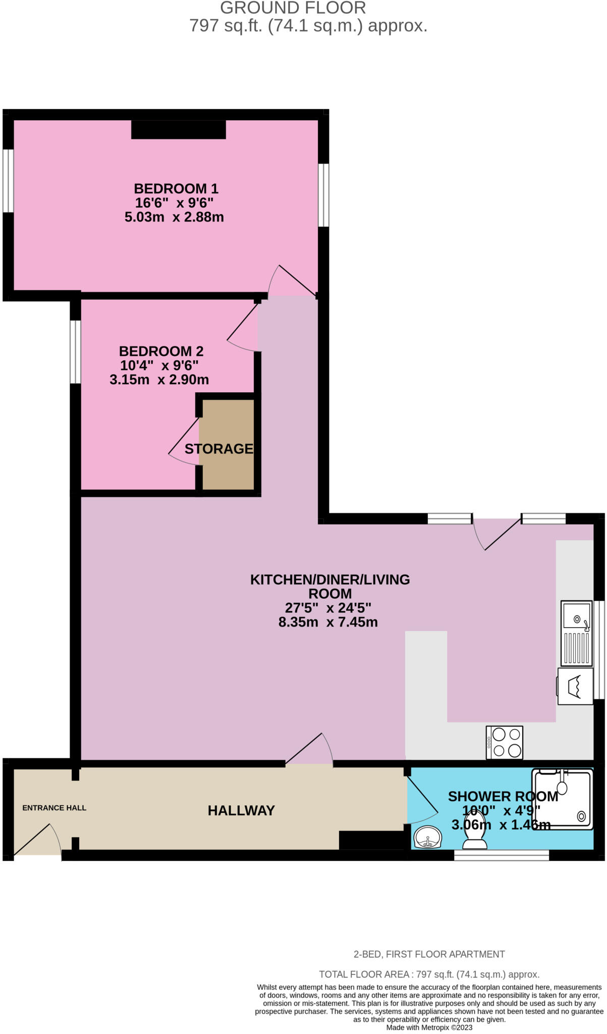
Floorplan 2D
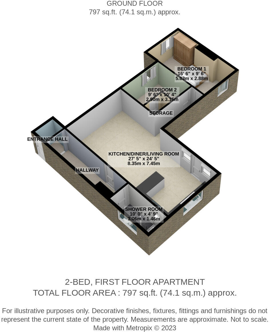
Floorplan 3D
EPC Graphs
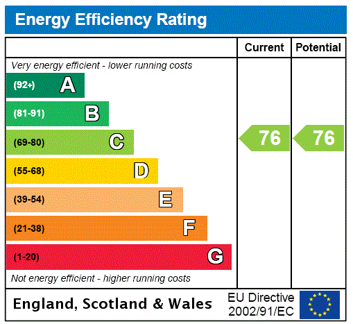
EPC Rating Graph
Rental Range
Estimated market rent for Staffordshire Moorlands. Low = conservative, Realistic = average, Optimistic = best case.
Based on Local Authority from postcode lookup → Staffordshire Moorlands.
LHA (30th percentile) floor for East Cheshire: £723/mo (Apr 2025 – Mar 2026)
Location
Address
Halls Road
Nearby
Nearest stations, universities and amenities (distance from property).
| Type | Name | Distance |
|---|---|---|
| Shop | Flavours Premier Store | 0.1 miles |
| Bus stop | Grange Court | 0.1 miles |
| Bus stop | Oxhay Crescent | 0.1 miles |
| Shop | Brick Shed Barbers | 0.4 miles |
| Train station | Congleton | 2.6 miles |
| Hospital | John Munroe Hospital | 3.6 miles |
| Train station | Hunthouse Wood | 3.7 miles |
| Hospital | Haywood Hospital Walk-in Centre | 4.7 miles |
| University | Buxton & Leek College | 6.2 miles |
| University | Tovell Building, Buxton & Leek College | 6.2 miles |
Street-level crime
| Category | Count |
|---|---|
| Violence and sexual offences | 29 |
| Anti-social behaviour | 17 |
| Other theft | 7 |
| Public order | 7 |
| Criminal damage and arson | 3 |
| Other crime | 3 |
| Shoplifting | 3 |
| Burglary | 2 |
| Bicycle theft | 1 |
| Drugs | 1 |
| Robbery | 1 |
| Theft from the person | 1 |
| Total incidents | 75 |
Within 1 mile during Aug 2026. Source: data.police.uk (England & Wales).
Schools nearby
Nearest open schools with Ofsted ratings (England). Closed schools are not shown. Data from Get Information about Schools and Ofsted.
| Name | Type | Distance | Ofsted |
|---|---|---|---|
| Woodhouse Academy | Primary | 0.3 miles | Good — 30 Mar 2023 |
| Oxhey First School | Primary | 0.5 miles | Outstanding — 24 Oct 2023 |
| Kingsfield First School | Primary | 0.6 miles | Good — 11 Apr 2016 |
| Squirrel Hayes First School | Primary | 0.9 miles | Good — 24 Oct 2018 |
| Our Lady of Grace Catholic Academy | Primary | 0.9 miles | Outstanding — 26 Jun 2015 |
Rental Comparables
Residential lets from OpenRent and Rightmove for the area (same bedroom count). Use to validate rent estimates. Student lets are excluded.
| Title | Rent | Beds | Distance | As seen on |
|---|---|---|---|---|
| Congleton Road, Biddulph, Stoke-on-Trent, Staffordshire, ST8 | £795/mo | 2 | 0 miles | Rightmove |
| Congleton Road, Biddulph, Stoke-on-Trent, Staffordshire, ST8 | £795/mo | 2 | 0 miles | Rightmove |
| Well Street, Biddulph, ST8 | £940/mo | 2 | 0.67 miles | Rightmove |
| Swallow Walk, Biddulph, Stoke-On-Trent | £1,000/mo | 2 | 0.75 miles | Rightmove |
Average rent: £883/mo (4 listings)
Enter House Number
Enter the house number to help us retrieve more accurate pricing history and property data.
Please log in to submit or correct the house number for this listing.
Log in to continue