Sy13 2Lq
SY13 2LQ
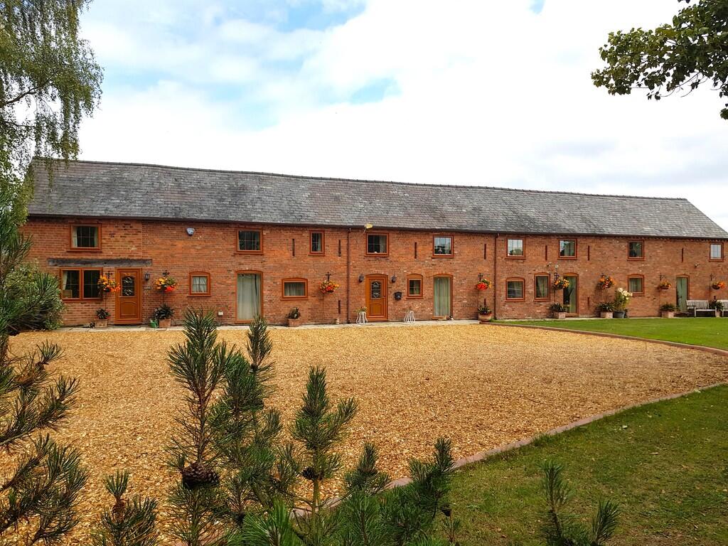
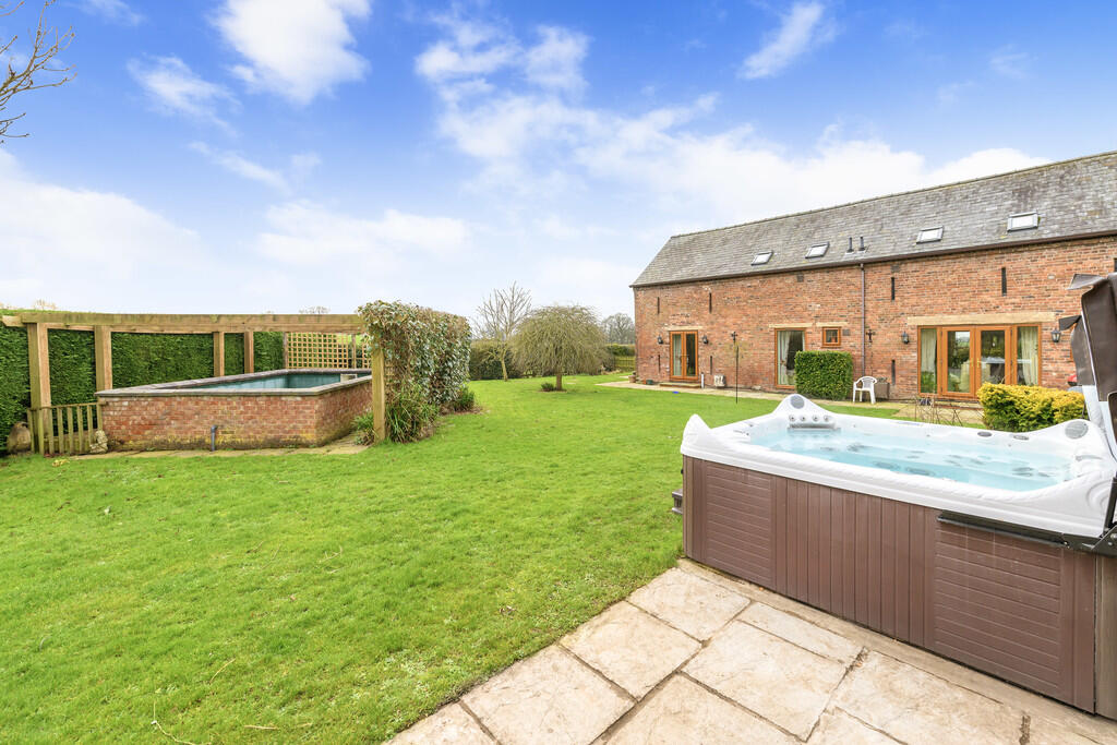
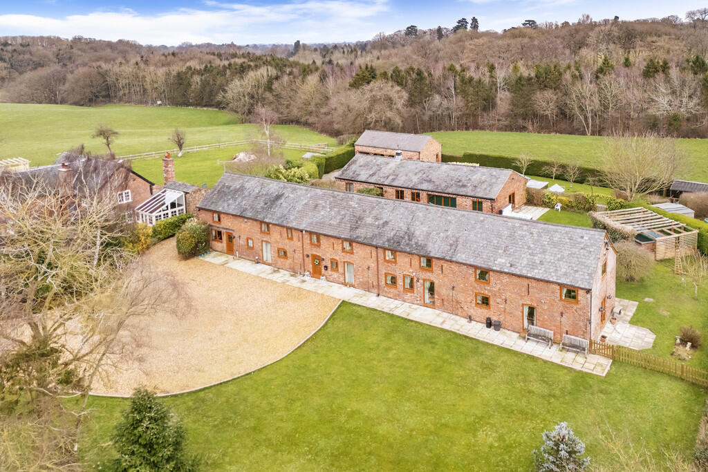
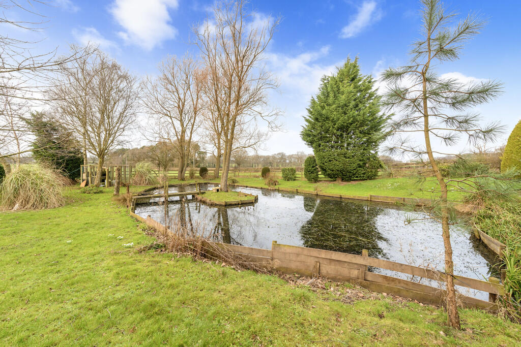
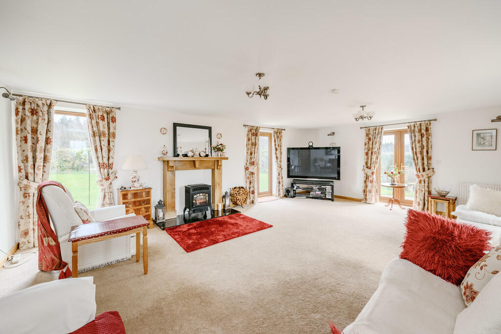
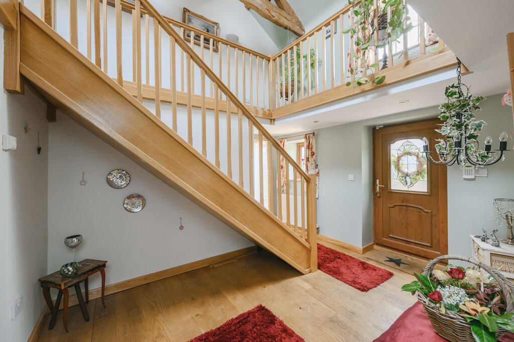
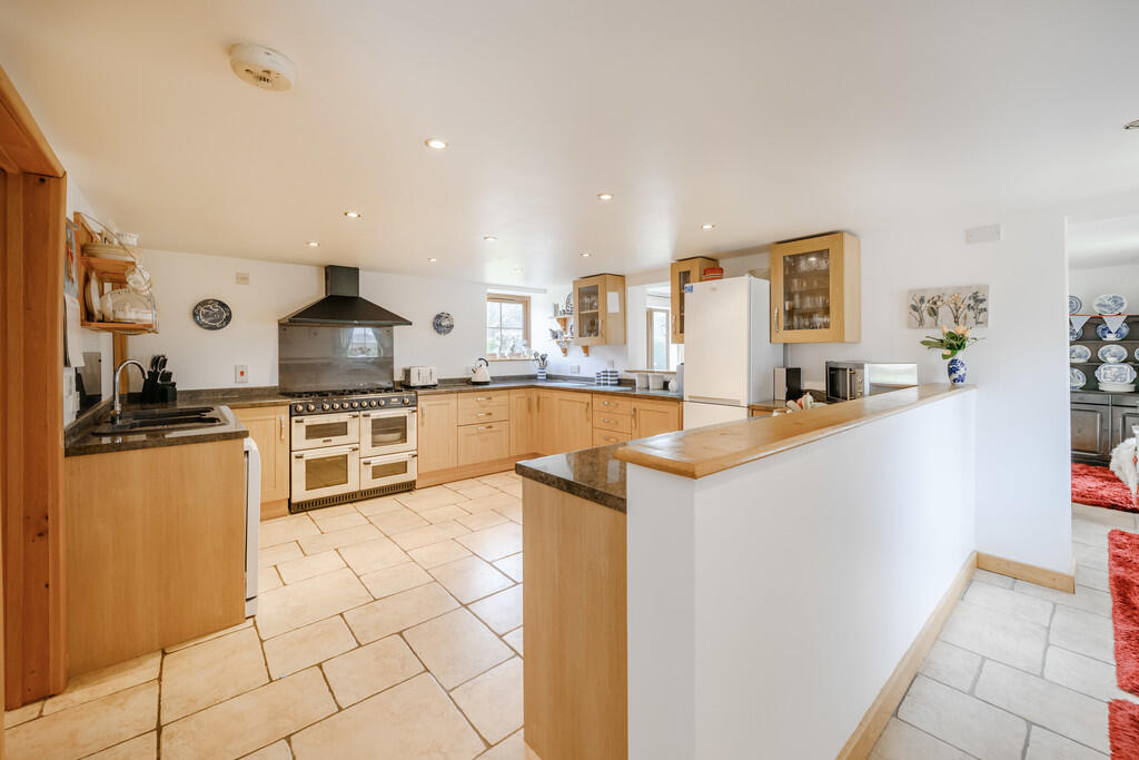
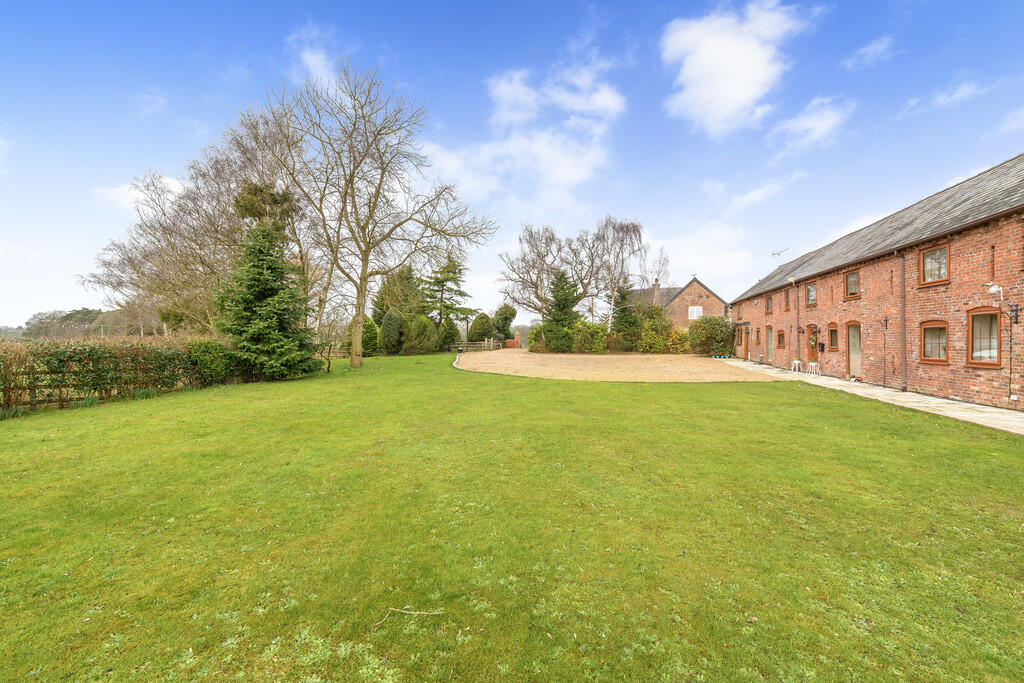
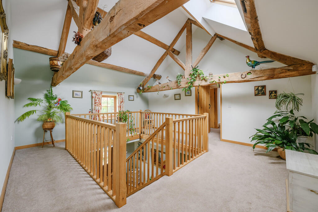
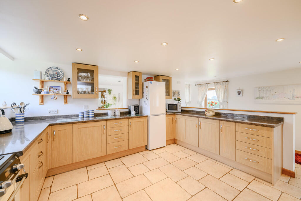
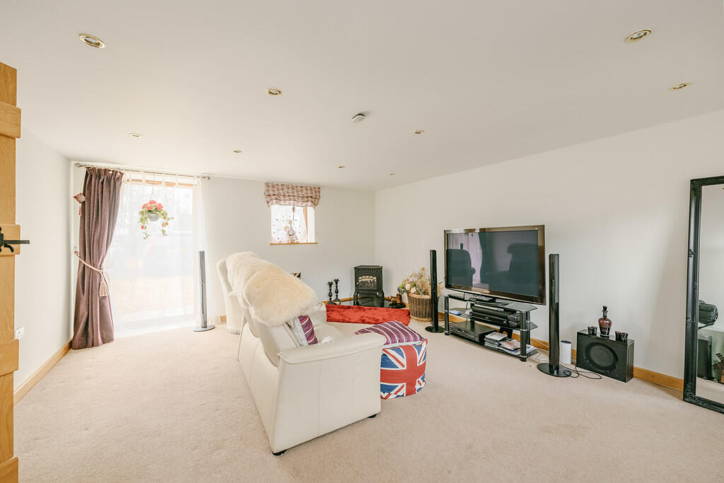

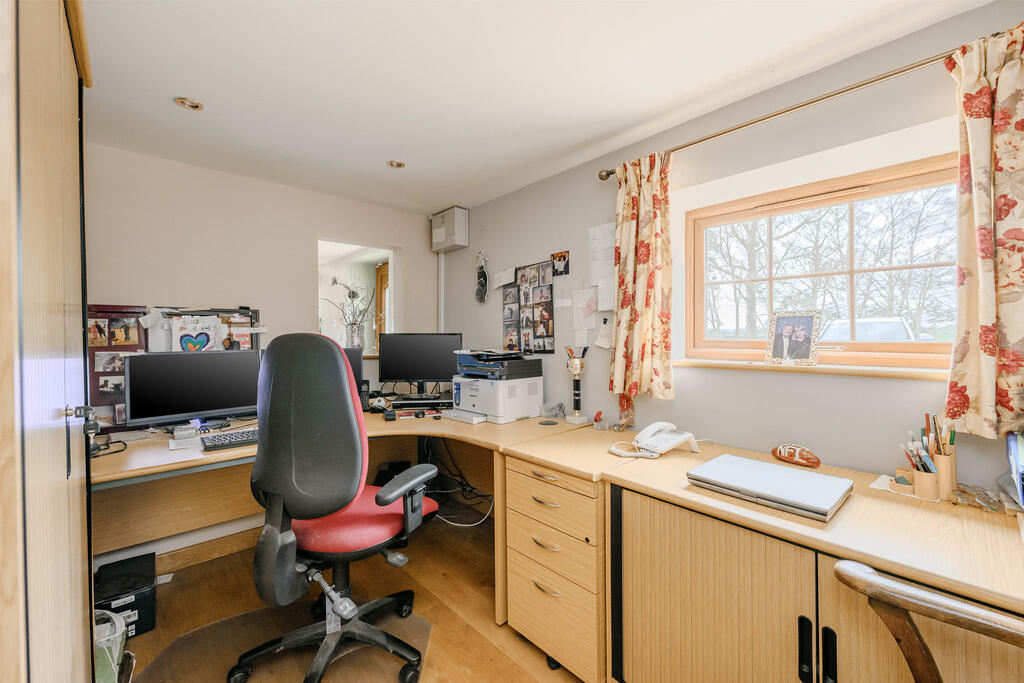
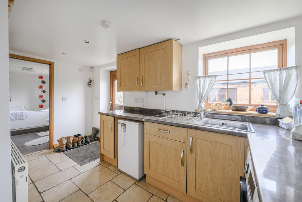
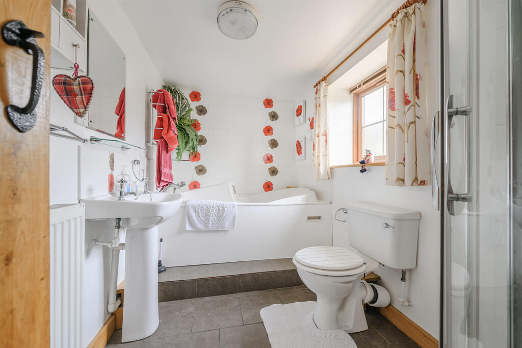
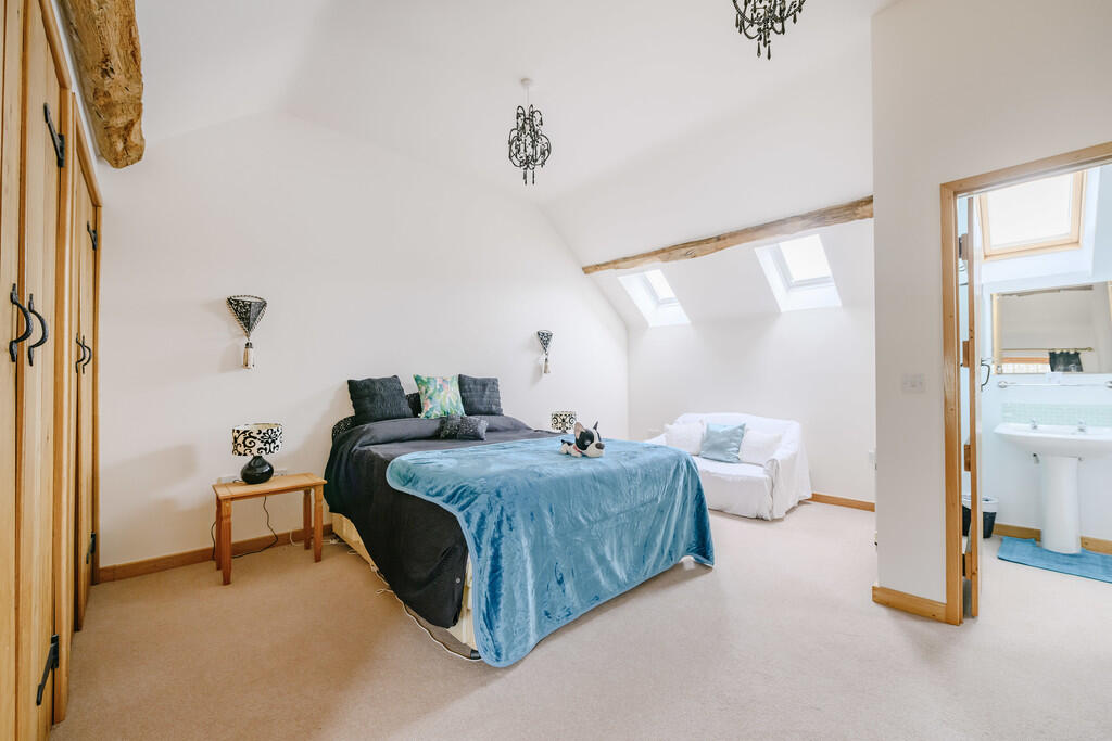
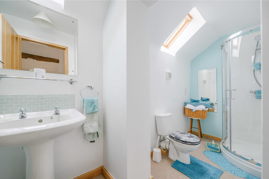
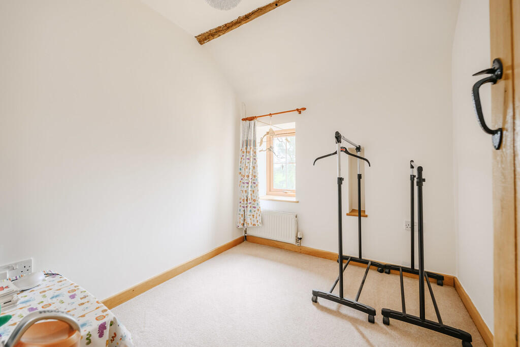
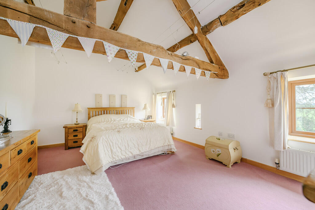

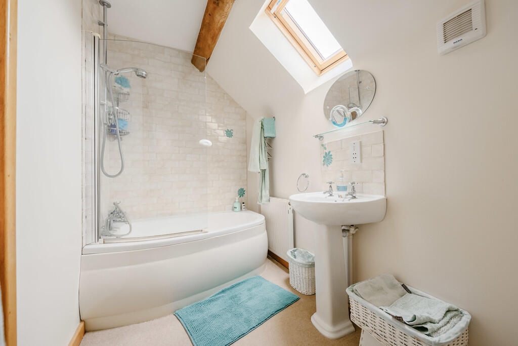
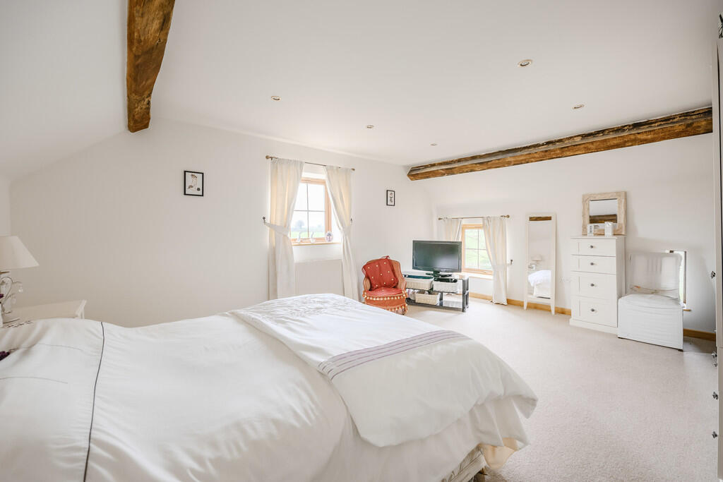
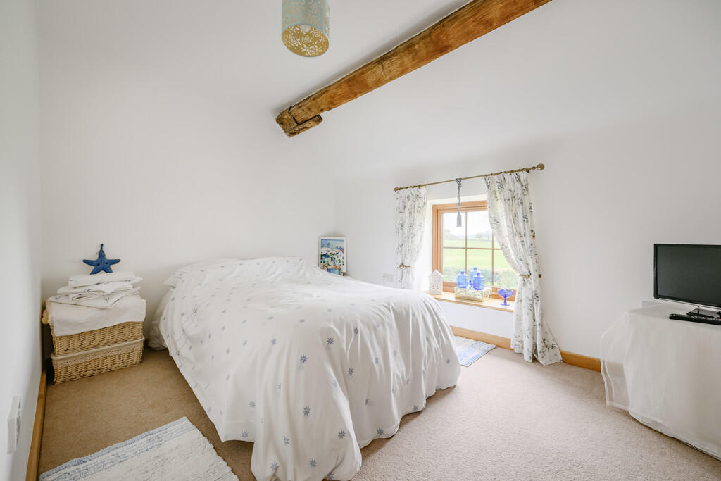
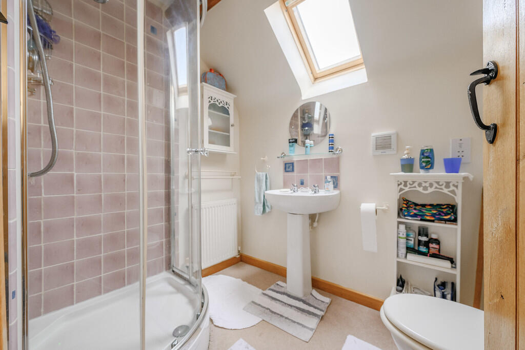
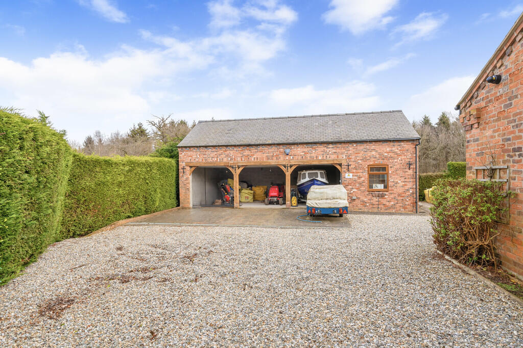
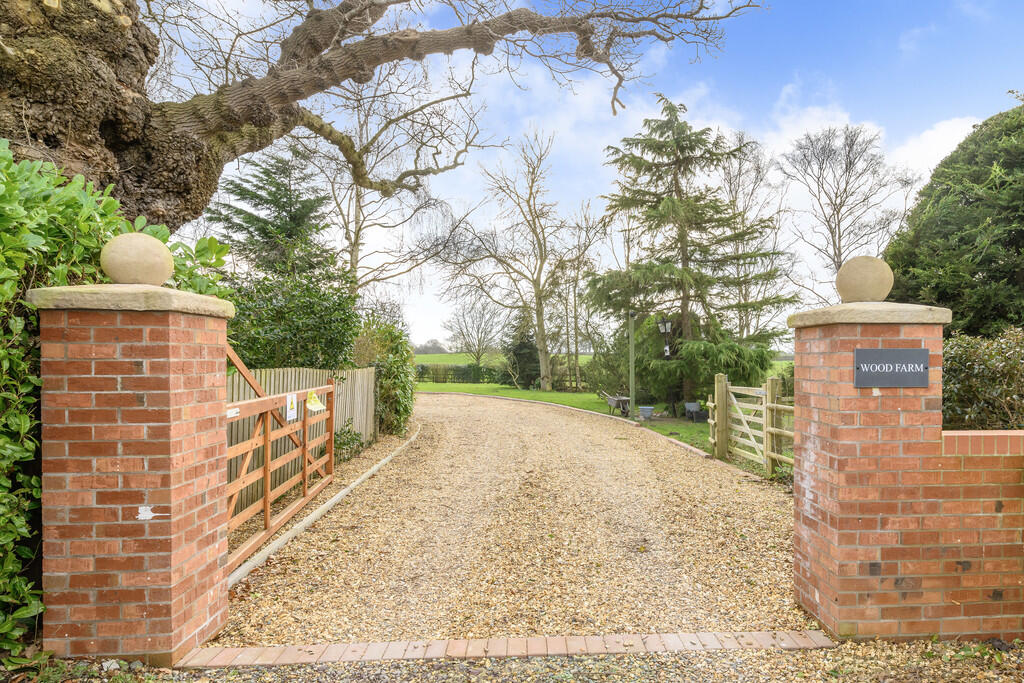
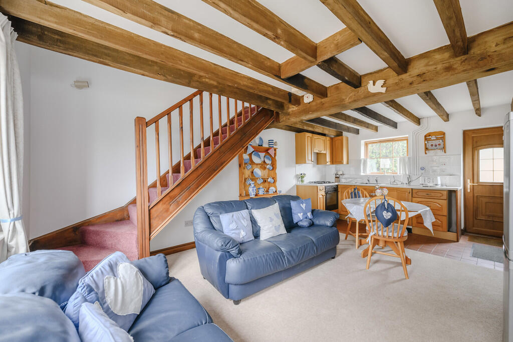
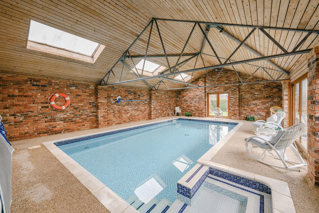
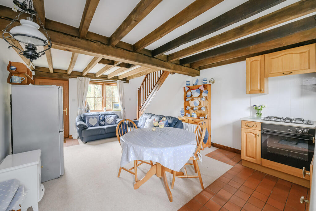
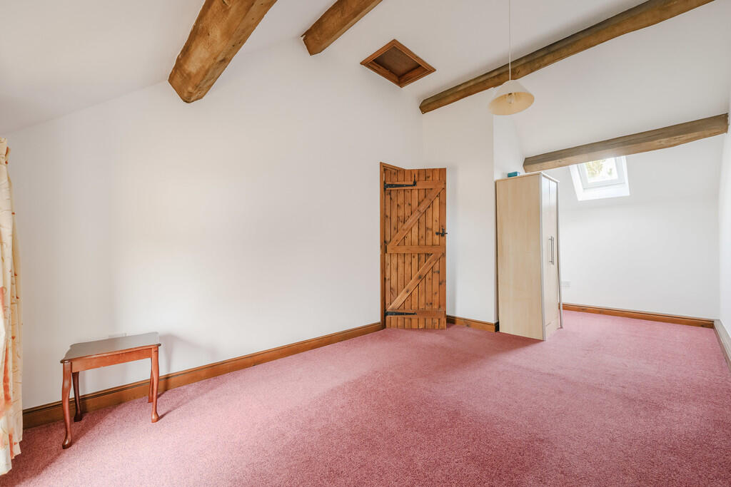
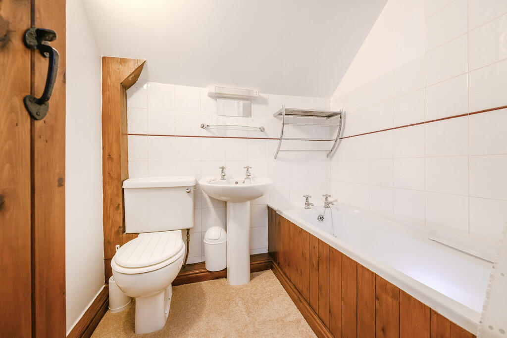
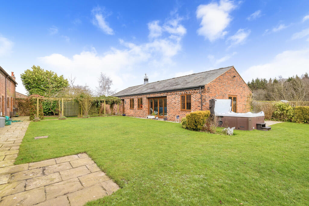
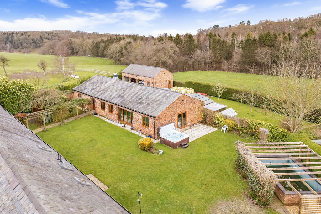
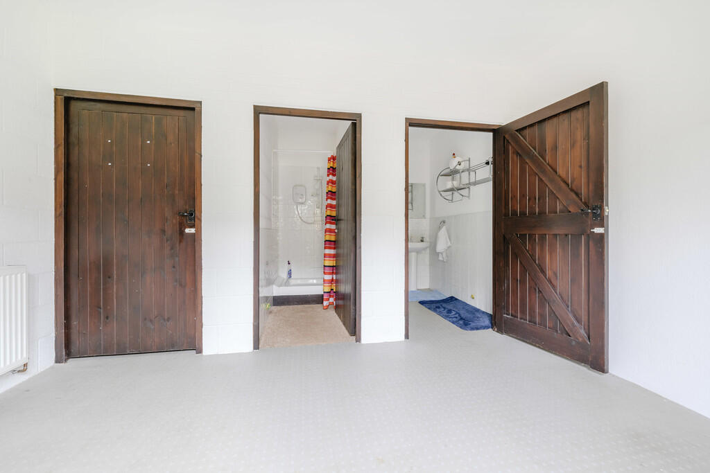
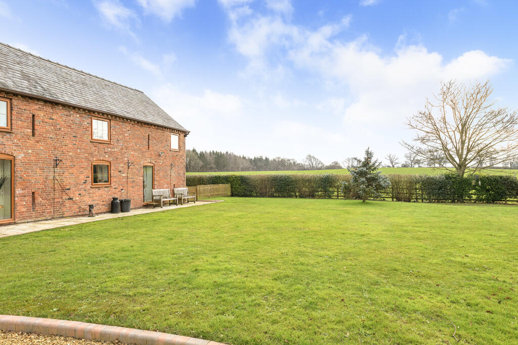
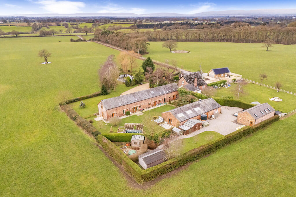

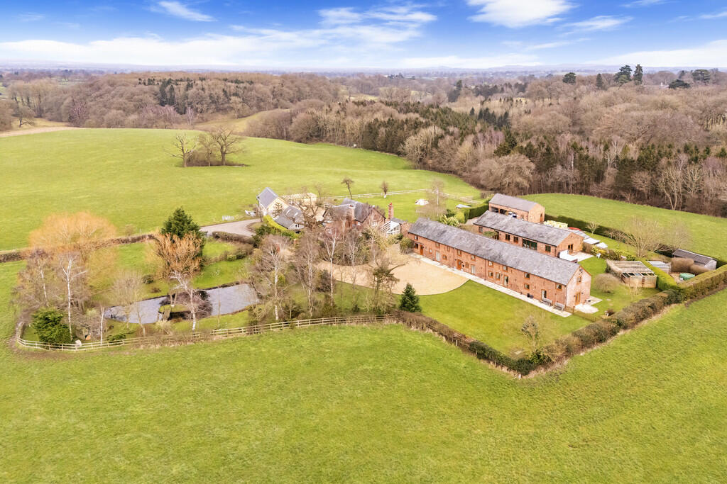
Photo 1 Photo 2 Photo 3 Photo 4 Sitting Room Entrance Hall Kitchen Photo 8 Landing Kitchen Lounge Dining Room Office Utility Room Ground Floor Bath... Master Bedroom En Suite Dressing Room Bedroom Two Bedroom Three Bathroom Bedroom Five Bedroom Four En Suite Photo 25 Photo 26 Annexe Lounge/Kit... Photo 28 Annexe Lounge/Kit... Annexe Bedroom Annexe Bathroom Photo 32 Photo 33 Photo 34 Photo 35 Photo 36 Photo 37 Photo 38
/ 38
Property details
Tenure
FREEHOLD
Floor area
43 m²
Council tax band
H
EPC ratings on this postcode
We don't have a matched EPC for this property yet. Below are efficiency scores and details for other addresses on this postcode.
| Address | Current | Potential | Floor area | Age band | Type |
|---|---|---|---|---|---|
| Oak Tree Hideaway, Wood Farm House, Breadon Heath, WHITCHURCH | 72 | 107 | 57 m² | England and Wales: 2012 onwards | Detached |
| Pheasant Barn, Wood Farm House, Breadon Heath | 73 | 120 | 43 m² | England and Wales: 2012-2021 | Bungalow |
| Pheasant Barn, Wood Farm House, Breadon Heath, WHITCHURCH | 73 | 120 | 43 m² | England and Wales: 2012 onwards | Detached |
| Wood Farm House, Breaden Heath, WHITCHURCH | 82 | 97 | 224 m² | — | Detached |
| Wood Farm House, Breadon Heath, WHITCHURCH | 47 | 77 | 228 m² | England and Wales: before 1900 | Detached |
| Wood Farm, Breaden Heath, WHITCHURCH | 61 | 78 | 360 m² | England and Wales: 2012 onwards | Detached |
Flood risk
Zone: 1
Risk: Low
Not in Flood Risk Area (no data)
Floorplans
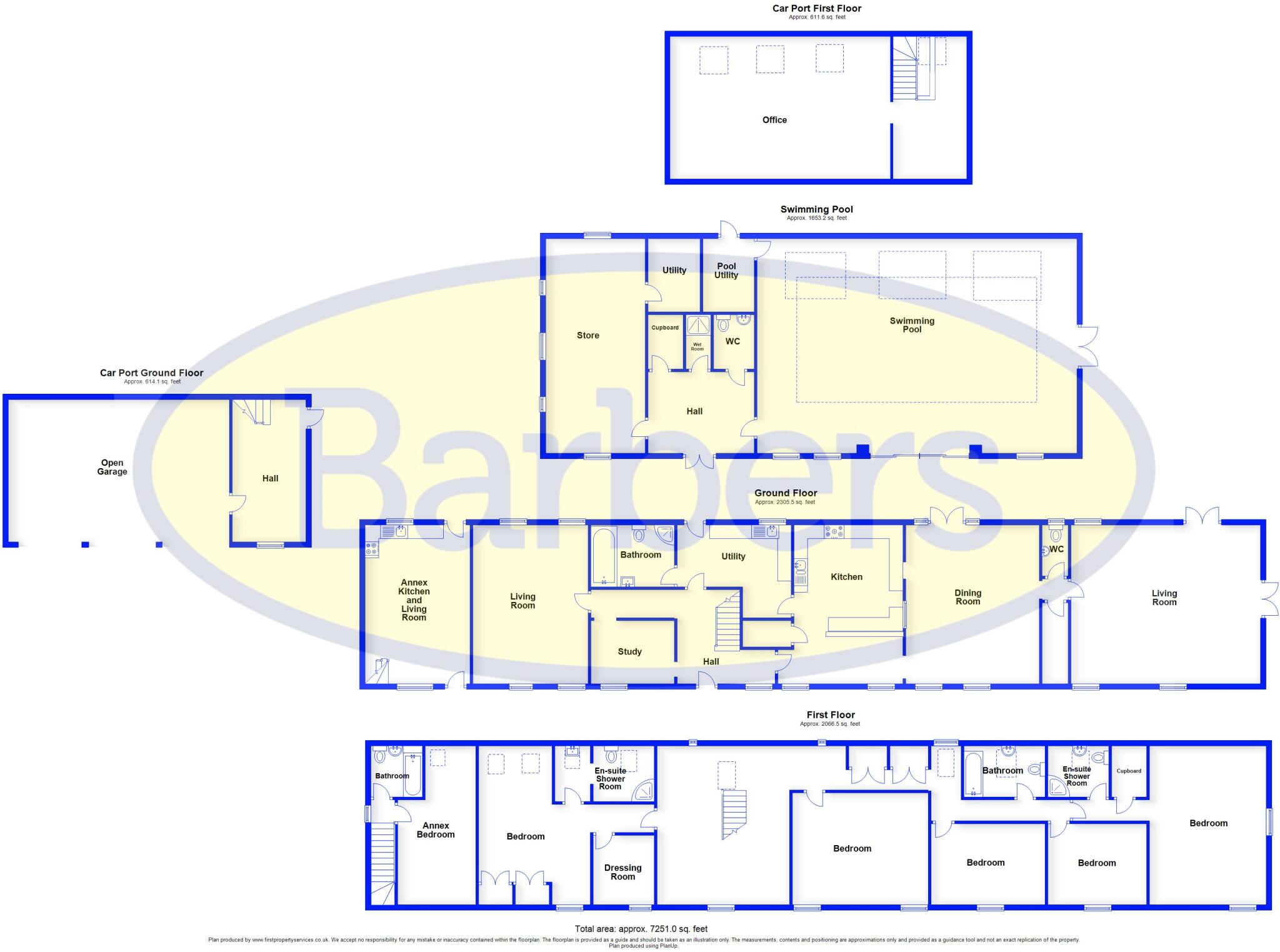
Floorplan 1
EPC Graphs

EPC Front Page
Price history
No sales history found for this property in Land Registry Price Paid data.
Sold Comparables
Same street and nearby sales within 0.25 miles (last 5 years). Data from Land Registry Price Paid.
| Address | Price | Date | Type |
|---|---|---|---|
| WOOD FARM HOUSE, BREADEN HEATH, WHITCHURCH, WREXHAM, SY13 2LQ | £1,150,000 | 21/10/2022 | Other |
Area average: £1,150,000 (1 sale)
Capital growth trend
Land Registry outcode average: last 12 months vs 5y and 10y ago (from sold prices).
House Price Index (HM Land Registry — official index, not sold-price averages): Wrexham. Series: All dwelling types. As of March 2026.
Rental Range
Estimated market rent for Wrexham. Low = conservative, Realistic = average, Optimistic = best case.
Based on Local Authority from postcode lookup → Wrexham.
LHA (30th percentile) floor for Wigan: £773/mo (Apr 2025 – Mar 2026)
Location
Nearby
Nearest stations, universities and amenities (distance from property).
| Type | Name | Distance |
|---|---|---|
| Shop | J Roberts | 1.3 miles |
| Hospital | Penley Hospital | 2.0 miles |
| Shop | Unknown | 2.9 miles |
| Bus stop | adj Ellesmere Crossroads | 3.3 miles |
| Bus stop | opp Watergate Street | 3.4 miles |
| Train station | Prees | 6.4 miles |
| Hospital | Whitchurch Community Hospital | 6.8 miles |
| Train station | Whitchurch | 6.9 miles |
| University | Wrexham University, School of Creative Arts | 10.4 miles |
| University | Bangor University, Wrexham Campus | 10.8 miles |
Street-level crime
Crime data is not yet available for this property.
Rental Comparables
Loading rental comparables for this postcode. Refresh in a few minutes.
Enter House Number
Enter the house number to help us retrieve more accurate pricing history and property data.
Please log in to submit or correct the house number for this listing.
Log in to continue