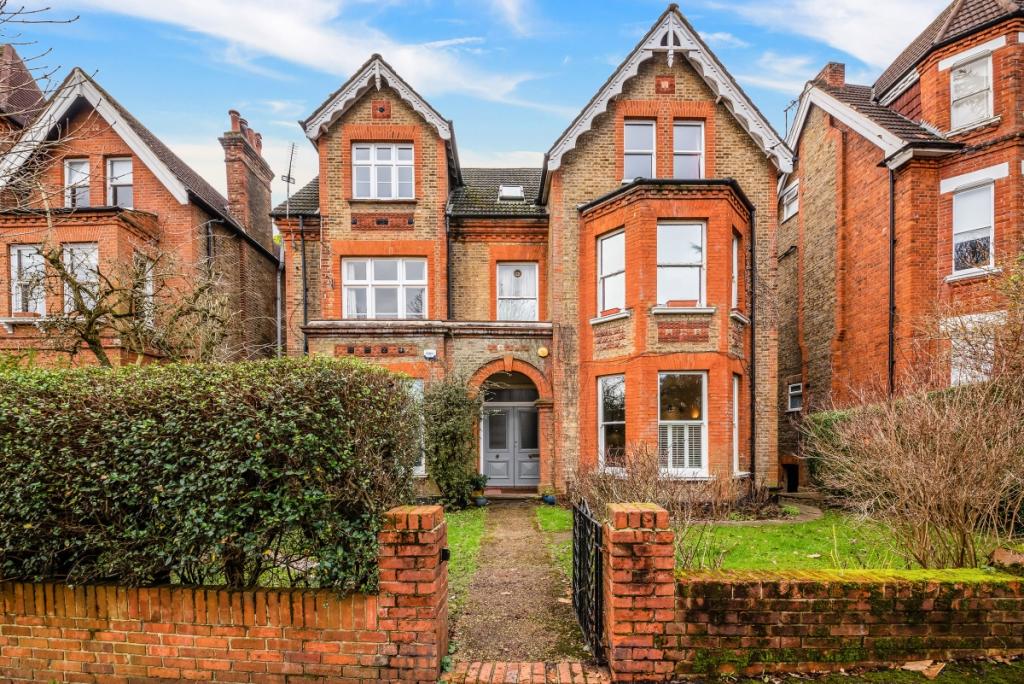
FLAT 1
14 MOWBRAY ROAD, LONDON, GREATER LONDON SE19 2RN
£2,000 pcm
Property details
Floor area
95 m²
Year built
England and Wales: 1900-1929
Deprivation
Decile 5 (14,774 of 33,755)
Street crime
546 incidents within 1 mile (Apr 2026)
Key features
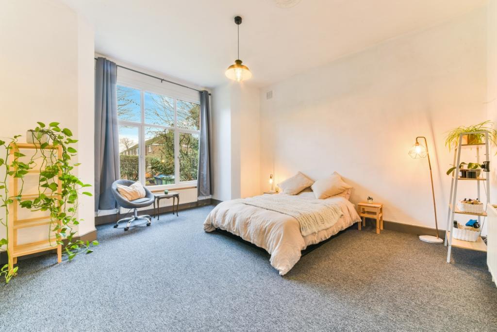
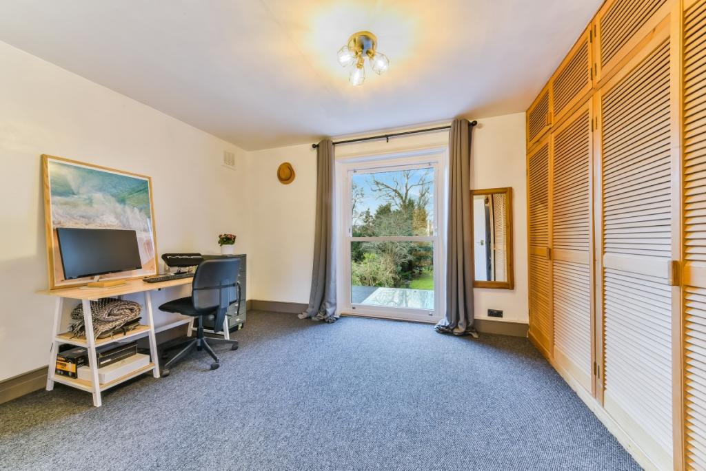
- Two double bedrooms
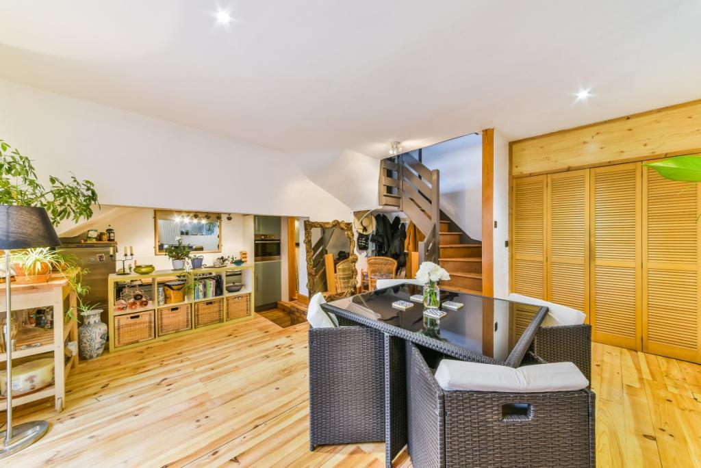
- Split level
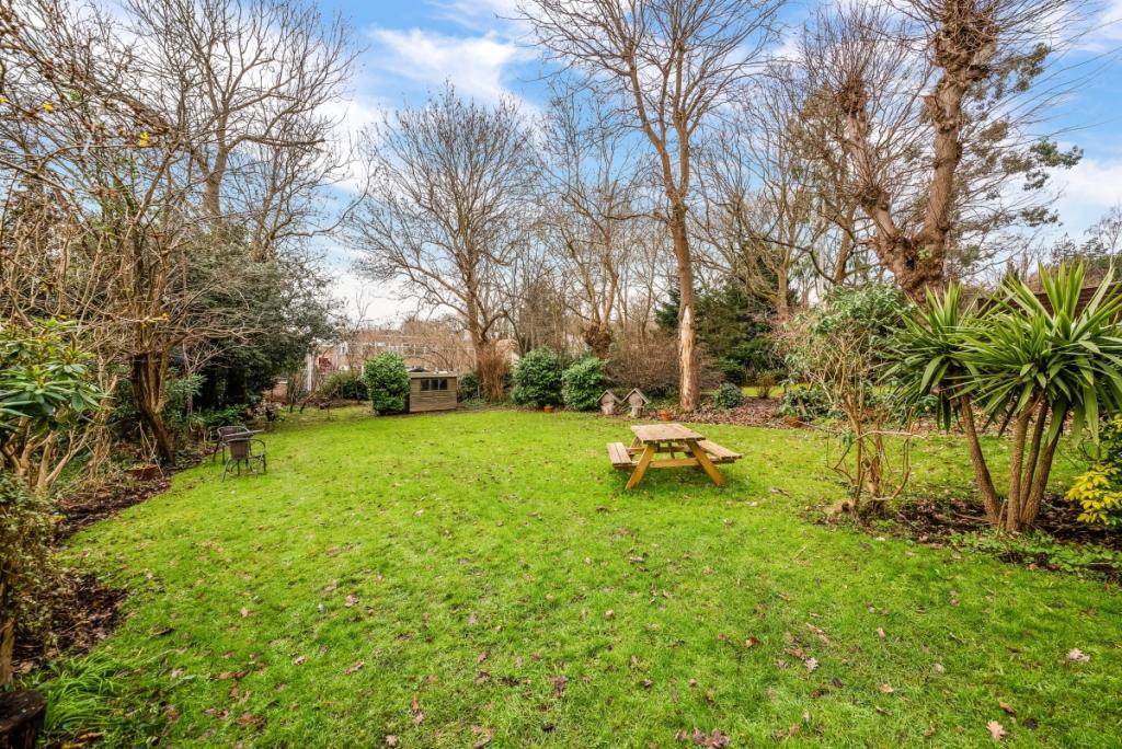
- Communal garden
- On street parking
- Unfurnished
Additional details
- Parking
- Communal
- Garden
- Communal garden
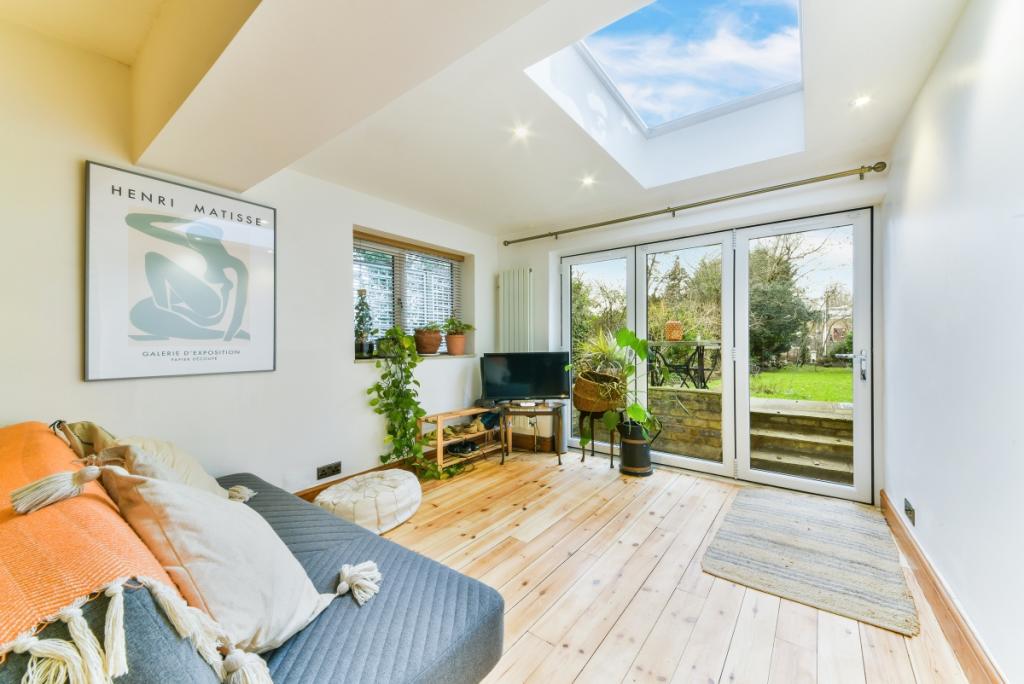
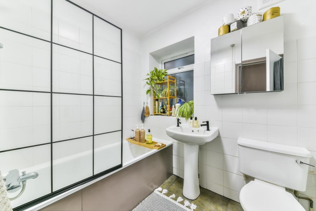
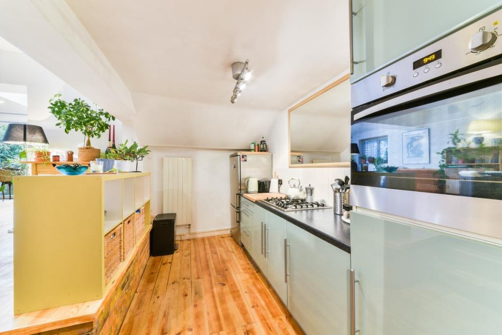
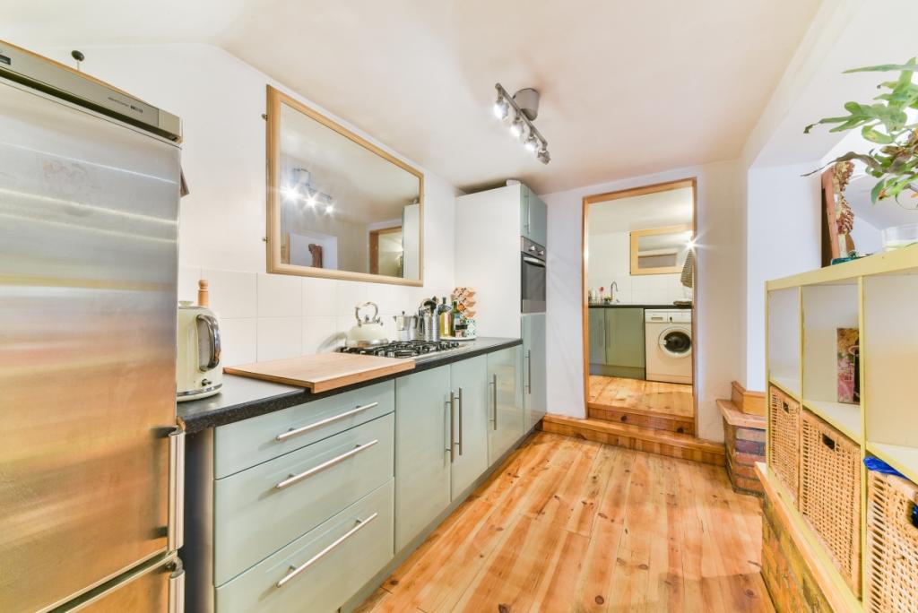
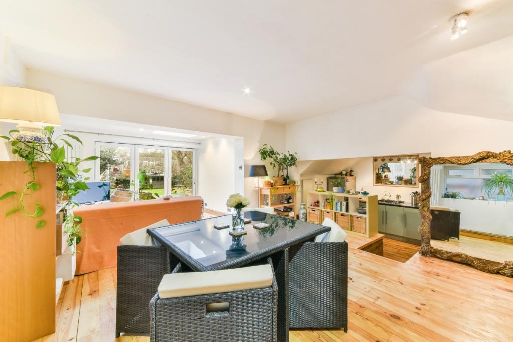
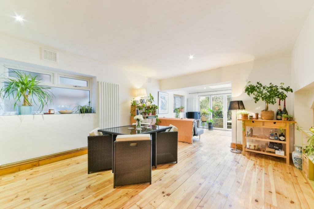
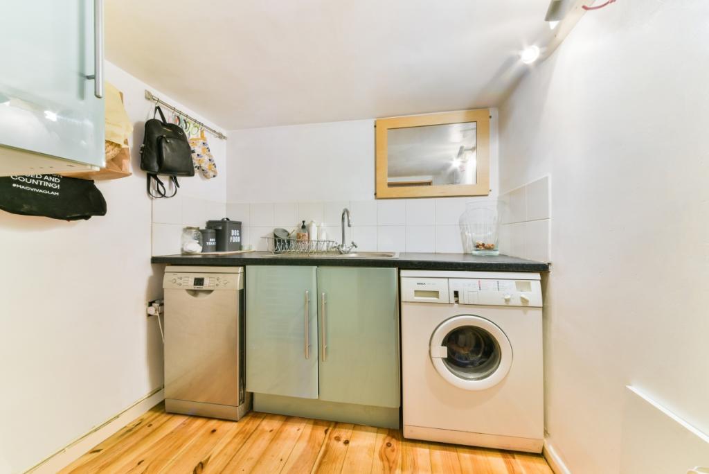
Description
Listed by
Dulwich
Countrywide Hamptons Lettings - Connells
Reference: 131405519
EPC Rating & Upgrade Cost
Fetching EPC data… Refresh this page in a moment.
Flood risk
Zone: 1
Risk: Low
Job (default Low)
Floorplans
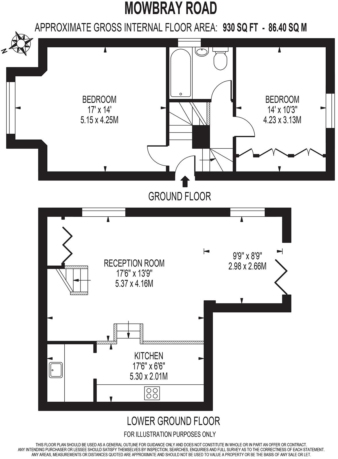
FP
EPC Graphs
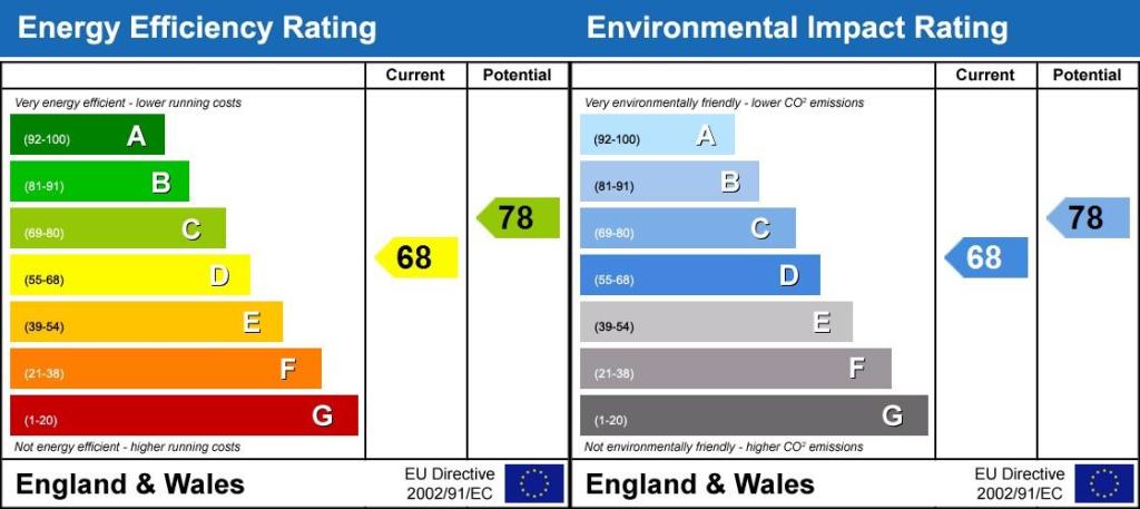
Energy Performanc...
Rental Range
Estimated market rent for Croydon. Low = conservative, Realistic = average, Optimistic = best case.
Based on Local Authority from postcode lookup → Croydon.
LHA (30th percentile) floor for Cambridge: £947/mo (Apr 2025 – Mar 2026)
Location
Nearby
Nearest stations, universities and amenities (distance from property).
| Type | Name | Distance |
|---|---|---|
| Bus stop | Harris City Academy | 0.1 miles |
| Shop | The Tanning Palace | 0.4 miles |
| Train station | Crystal Palace | 0.4 miles |
| Shop | Anerley News Food & Wine | 0.5 miles |
| Train station | Anerley | 0.5 miles |
| Hospital | British Home & Hospital for Incurables | 1.5 miles |
| Hospital | Fertility Treatment | 2.1 miles |
| University | Horton Halls Reception | 4.7 miles |
| University | University of Wales Trinity Saint David London Campus | 4.9 miles |
Street-level crime
| Category | Count |
|---|---|
| Violence and sexual offences | 145 |
| Anti-social behaviour | 123 |
| Vehicle crime | 55 |
| Criminal damage and arson | 37 |
| Shoplifting | 31 |
| Theft from the person | 30 |
| Other theft | 25 |
| Drugs | 24 |
| Burglary | 23 |
| Public order | 19 |
| Robbery | 15 |
| Other crime | 8 |
| Bicycle theft | 6 |
| Possession of weapons | 5 |
| Total incidents | 546 |
Within 1 mile during Apr 2026. Source: data.police.uk (England & Wales).
Schools nearby
Nearest open schools with Ofsted ratings (England). Closed schools are not shown. Data from Get Information about Schools and Ofsted.
| Name | Type | Distance | Ofsted |
|---|---|---|---|
| Harris City Academy Crystal Palace | Secondary | 0.1 miles | Outstanding — 10 Nov 2014 |
| James Dixon Primary School | Primary | 0.3 miles | Good — 11 Mar 2013 |
| Cypress Primary School | Primary | 0.4 miles | Good — 12 Dec 2019 |
| All Saints CofE Primary School | Primary | 0.4 miles | — (Inspected (no overall grade)) |
| Paxton Primary School | Primary | 0.7 miles | Good — 9 Jul 2024 |
Rental Comparables
Residential lets from OpenRent and Rightmove for the area (same bedroom count). Use to validate rent estimates. Student lets are excluded.
| Title | Rent | Beds | Distance | As seen on |
|---|---|---|---|---|
| 2 Bed Maisonette, Warminster Gardens, SE25 | £1,700/mo | 2 | 0.54 miles | OpenRent |
Average rent: £1,700/mo (1 listing)