FLAT 10
COSSINGTON COURT, 35 - 37, COSSINGTON ROAD, WESTCLIFF-ON-SEA, SOUTHEND-ON-SEA SS0 7NG
£1,350 pcm
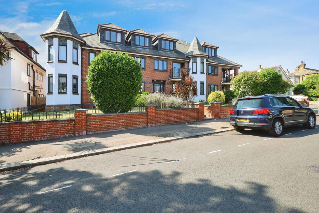
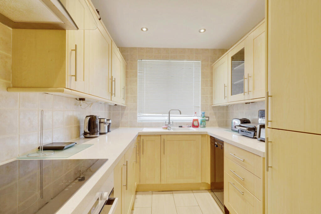
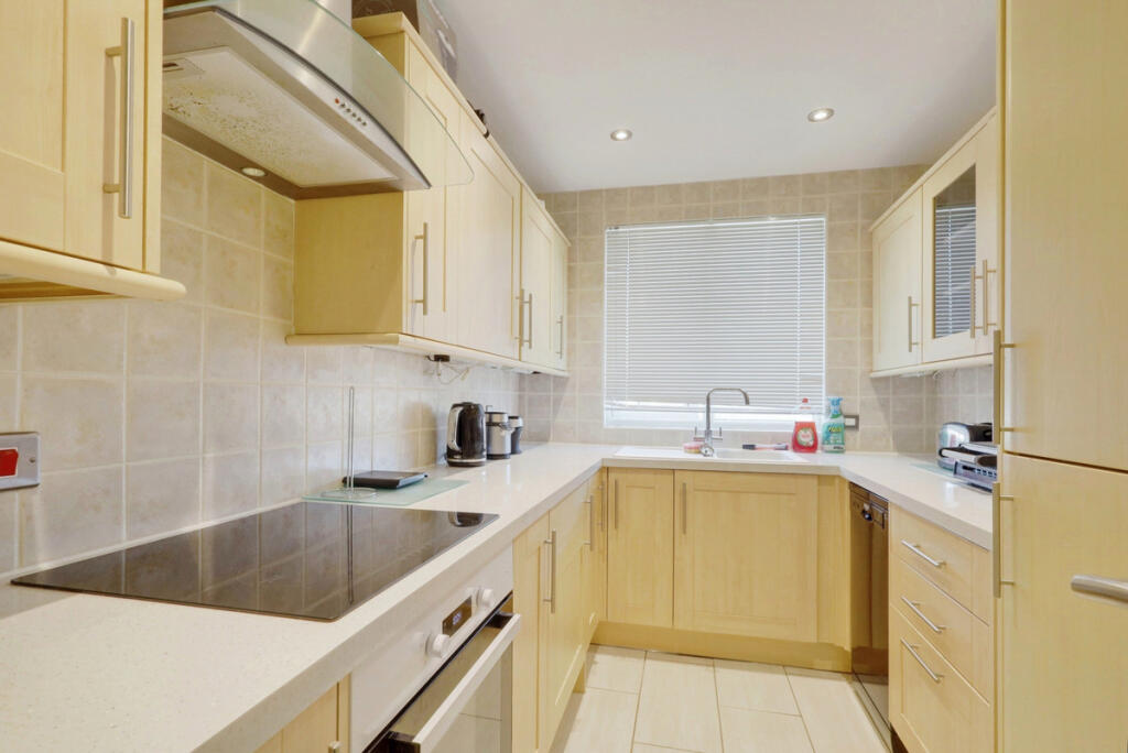
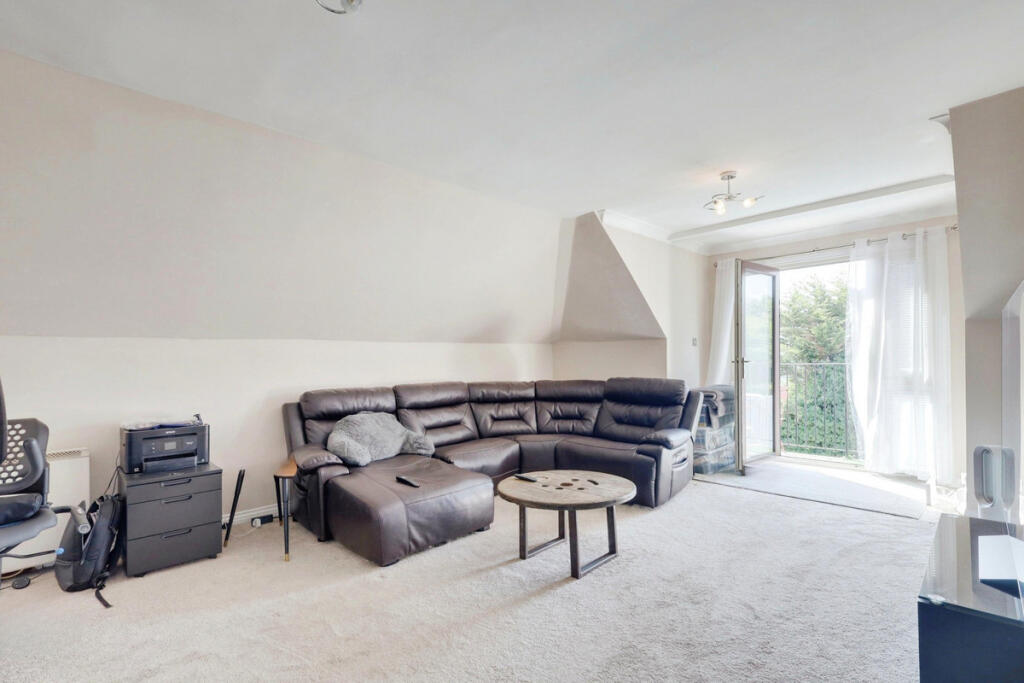
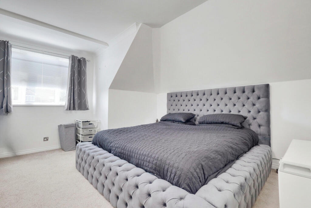
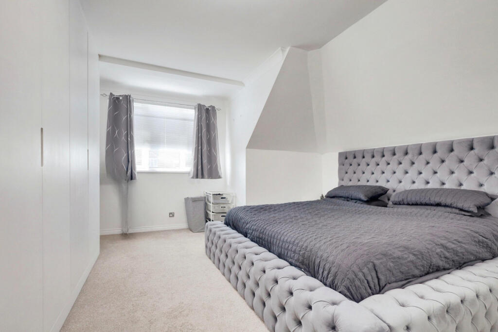
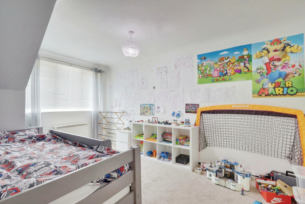
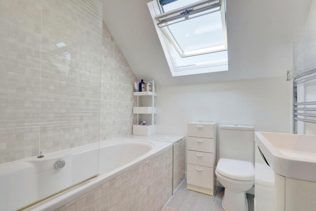
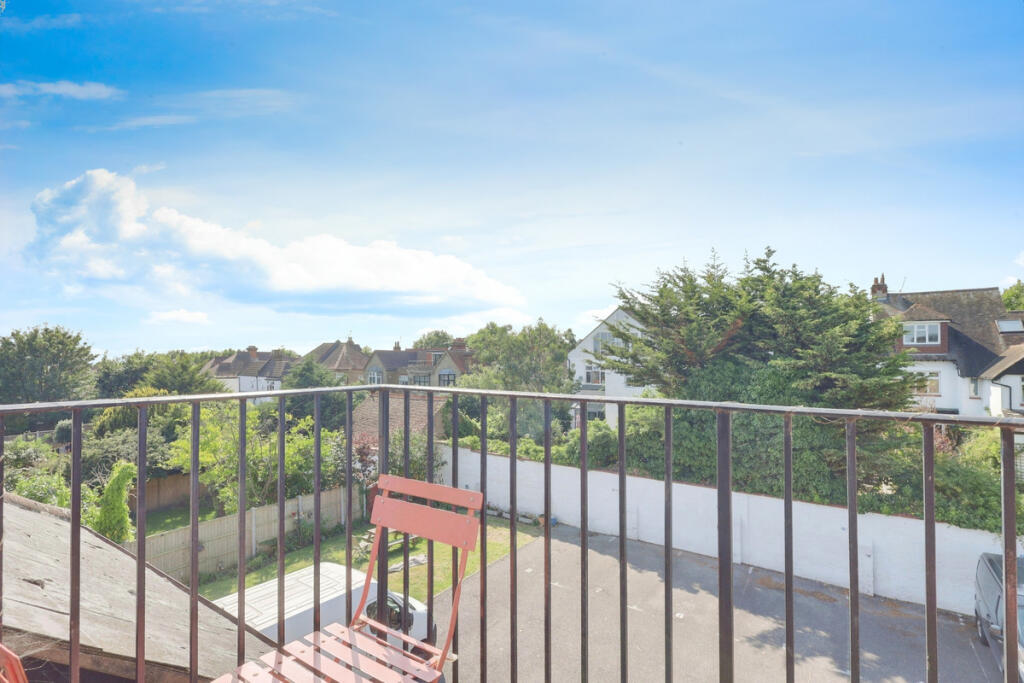
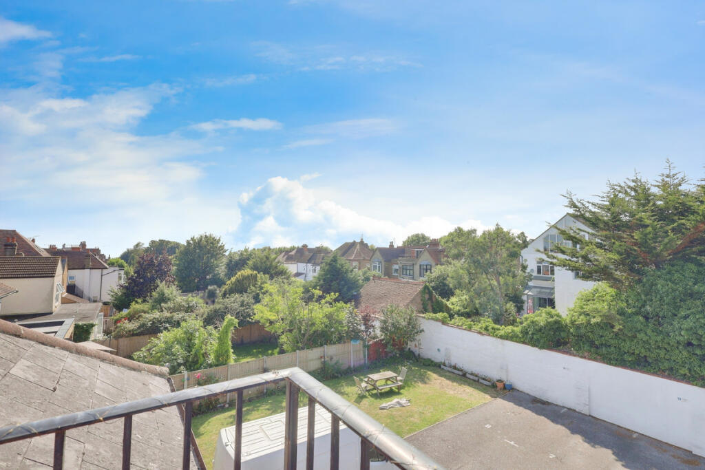
Photo 1 Photo 2 Photo 3 Photo 4 Photo 5 Photo 6 Photo 7 Photo 8 Photo 9 Photo 10
/ 10
Property details
Tenure
LEASEHOLD (117 years remaining on lease)
Floor area
74 m²
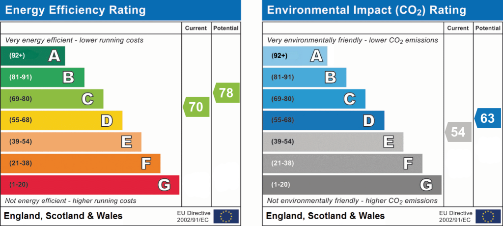
EPC rating
C
Year built
England and Wales: 1983-1990
Deprivation
Decile 2 (3,761 of 33,755)
Street crime
839 incidents within 1 mile (Apr 2026)
Key features
- Spacious two-bedroom flat
- Private balcony with stunning views
- Modern fitted kitchen
- Generous lounge area
- Contemporary three-piece bathroom suite
- Short walk to Westcliff train station
- Close to shops, restaurants, and bars
- Walking distance to Westcliff beach
Description
Council Tax Band: D
Listed by
Leigh-on-sea
Gilbert & Rose
Reference: 171298949
EPC Rating & Upgrade Cost
Current rating: C
Potential rating: C
Inspection date: 09/05/2017
Expiry date: 08/05/2027
Recommendations
- Increase loft insulation to 270 mm (350)
- Low energy lighting for all fixed outlets (35)
- High heat retention storage heaters (1,800)
Flood risk
Zone: 1
Risk: Low
Job (default Low)
Floorplans
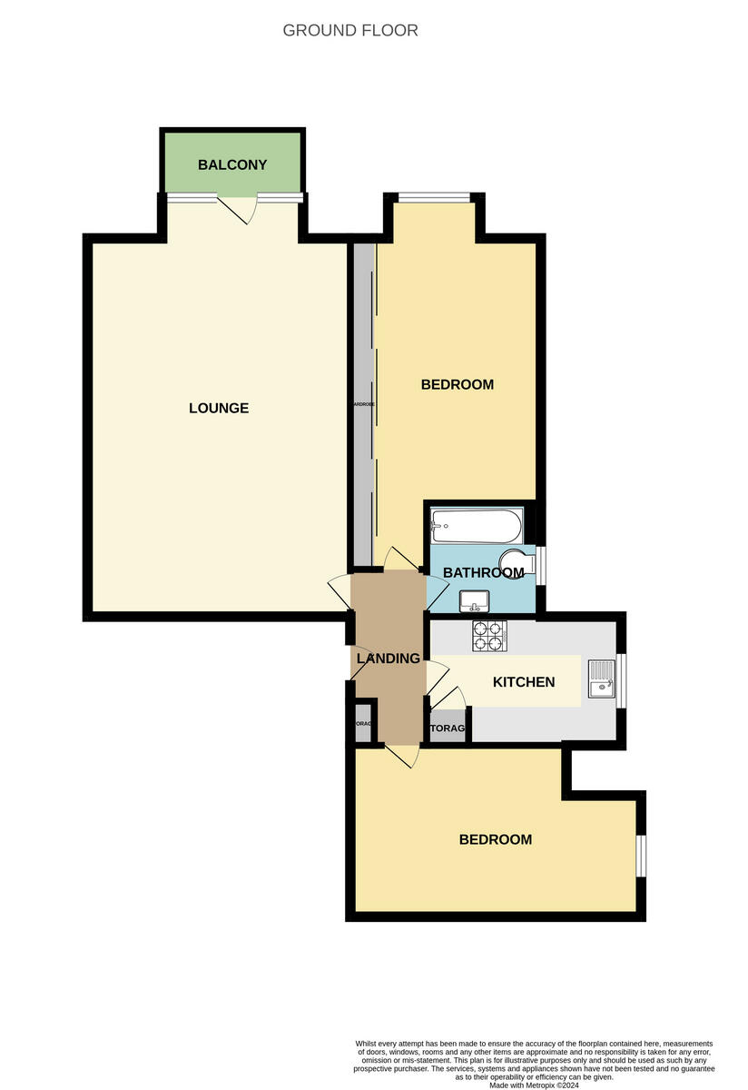
Floorplan 1
EPC Graphs
EPC 1
Rental Range
Estimated market rent for Southend-on-Sea. Low = conservative, Realistic = average, Optimistic = best case.
Based on Local Authority from postcode lookup → Southend-on-Sea.
LHA (30th percentile) floor for Southend: £873/mo (Apr 2025 – Mar 2026)
Location
Address
Cossington Road
Nearby
Nearest stations, universities and amenities (distance from property).
| Type | Name | Distance |
|---|---|---|
| Shop | King of Green | 0.1 miles |
| Shop | Rekindle | 0.1 miles |
| Bus stop | Canewdon Road | 0.2 miles |
| Bus stop | Unknown | 0.2 miles |
| Train station | Westcliff | 0.2 miles |
| Train station | Southend Central | 0.7 miles |
| University | University of Essex | 0.7 miles |
| Hospital | Wellesley Hospital | 1.7 miles |
| Hospital | Rochford Hospital | 3.1 miles |
Street-level crime
| Category | Count |
|---|---|
| Violence and sexual offences | 347 |
| Shoplifting | 116 |
| Anti-social behaviour | 98 |
| Criminal damage and arson | 50 |
| Public order | 45 |
| Vehicle crime | 44 |
| Drugs | 35 |
| Other theft | 35 |
| Burglary | 20 |
| Other crime | 14 |
| Bicycle theft | 11 |
| Possession of weapons | 11 |
| Robbery | 10 |
| Theft from the person | 3 |
| Total incidents | 839 |
Within 1 mile during Apr 2026. Source: data.police.uk (England & Wales).
Schools nearby
Nearest open schools with Ofsted ratings (England). Closed schools are not shown. Data from Get Information about Schools and Ofsted.
| Name | Type | Distance | Ofsted |
|---|---|---|---|
| St Bernard's High School | Secondary | 0.1 miles | Good — 22 Jun 2012 |
| Compass Community School Boleyn Park | Other | 0.2 miles | Good — 27 Jul 2023 |
| Milton Hall Primary School and Nursery | Primary | 0.3 miles | Good — 17 Jun 2024 |
| Barons Court Primary School and Nursery | Primary | 0.3 miles | Outstanding — 25 May 2017 |
| St Helen's Catholic Primary School | Primary | 0.4 miles | Good — 23 Mar 2023 |
Rental Comparables
Rental listings exist nearby, but none matched the 2-bedroom count for this property.