28 KING LANE
WARMINSTER, WILTSHIRE BA12 8DH
£299,950
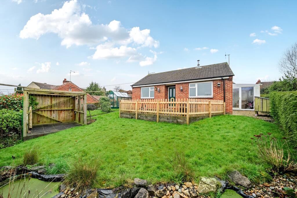
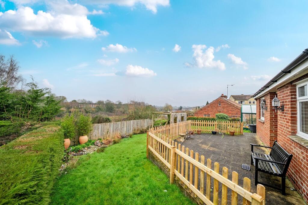
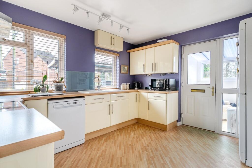
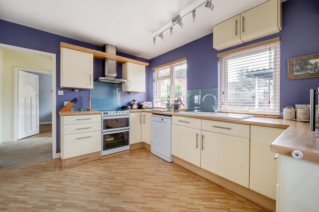
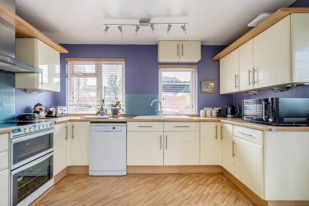
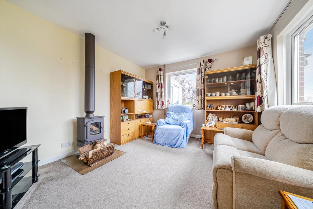
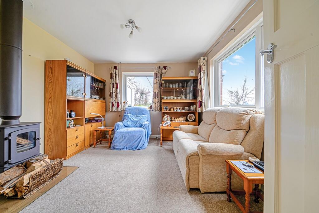
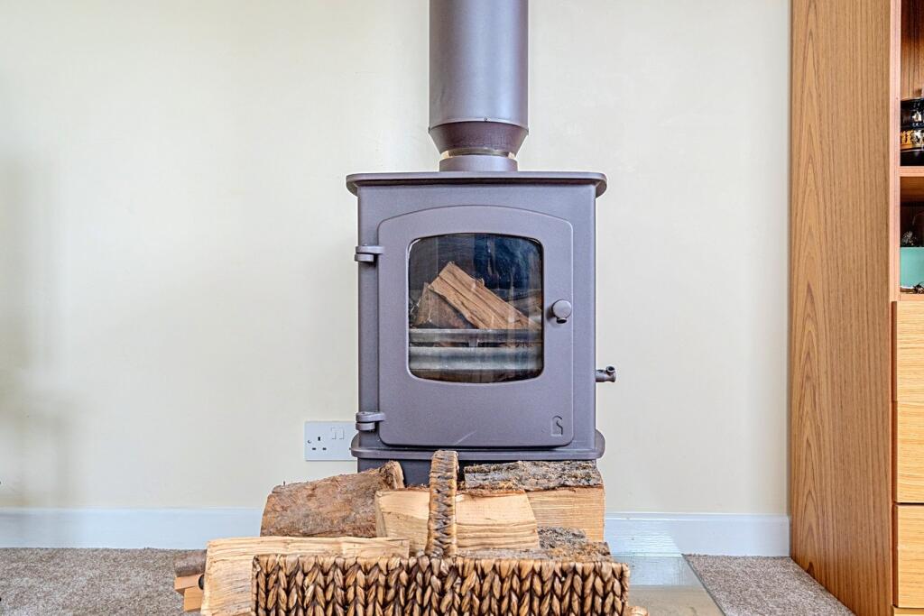
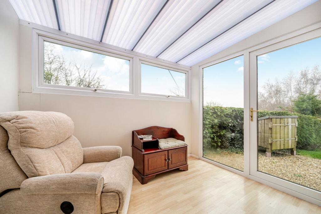
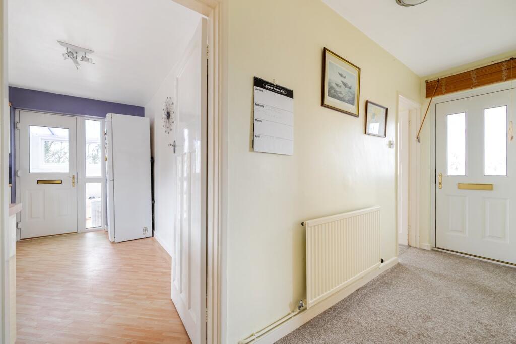
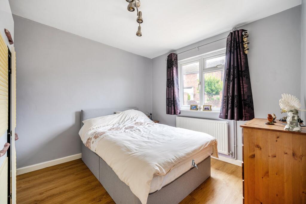
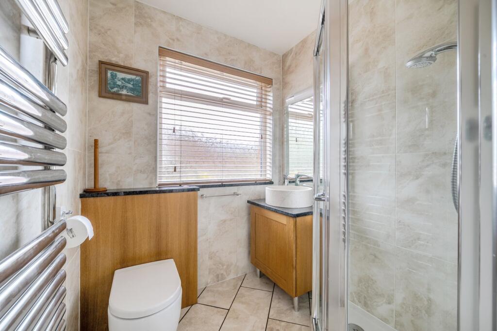
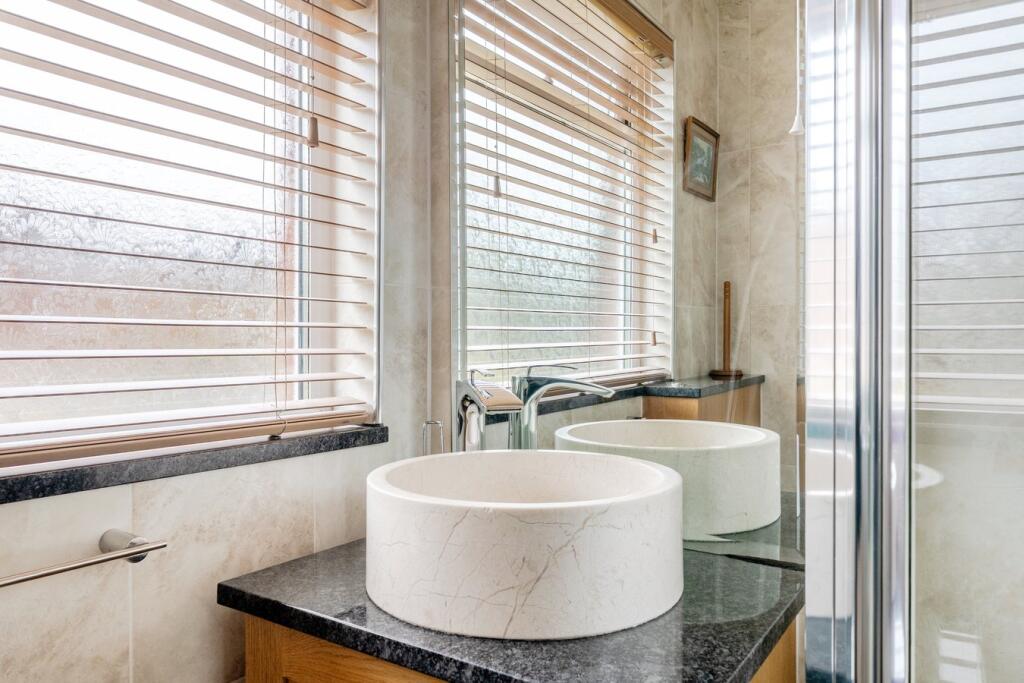
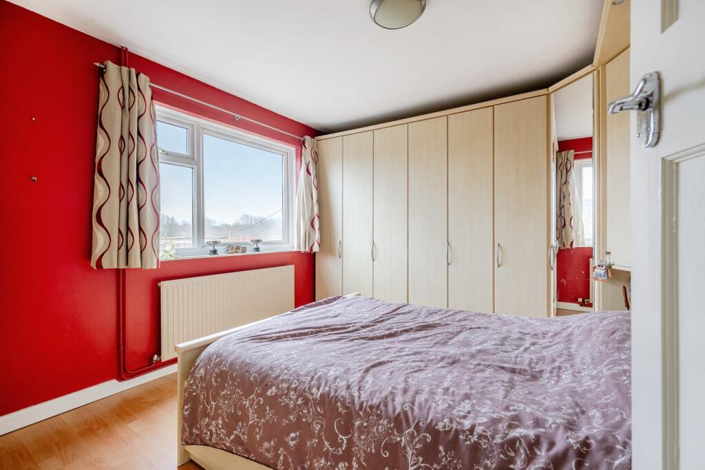
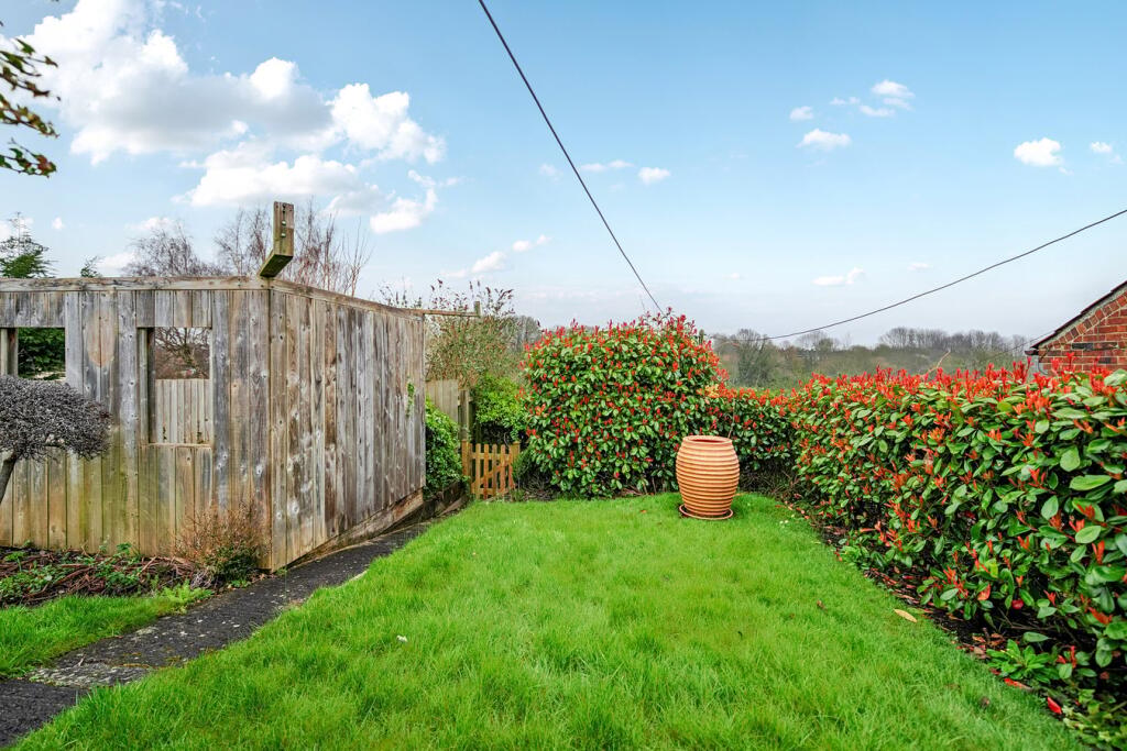
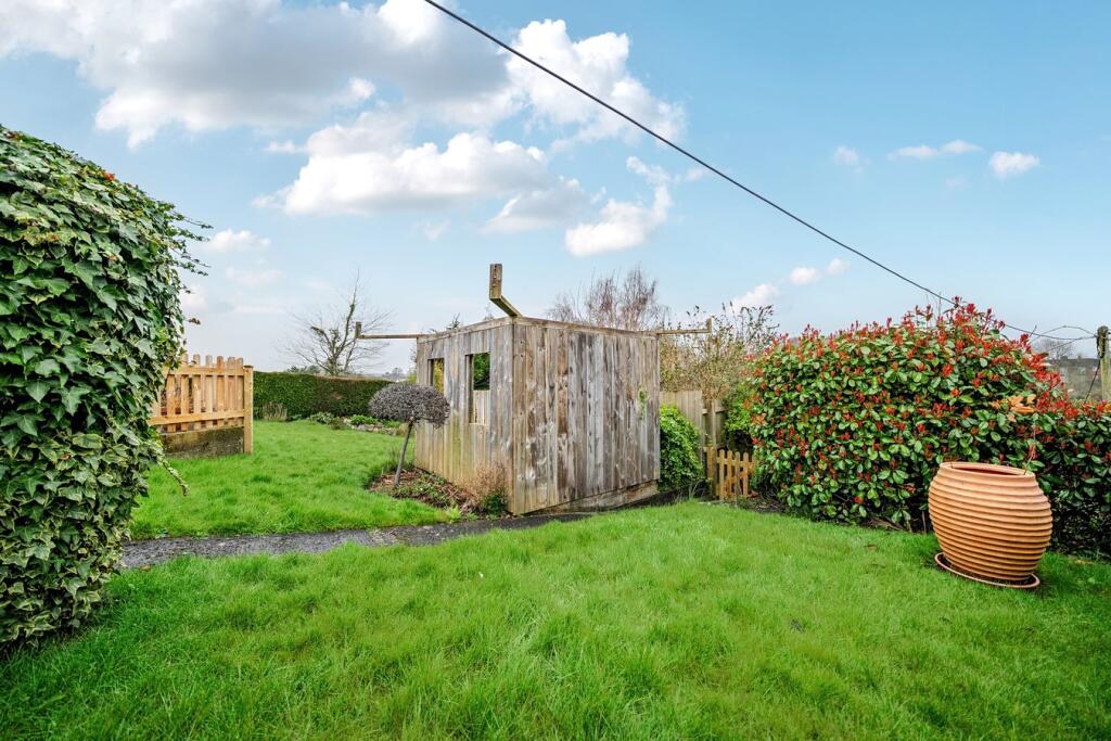
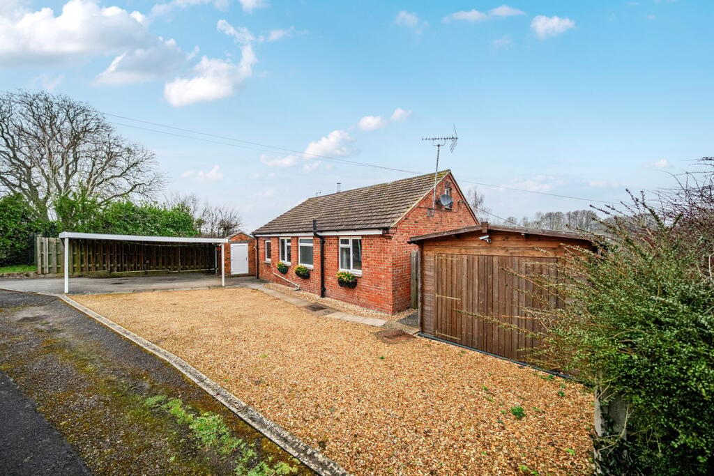
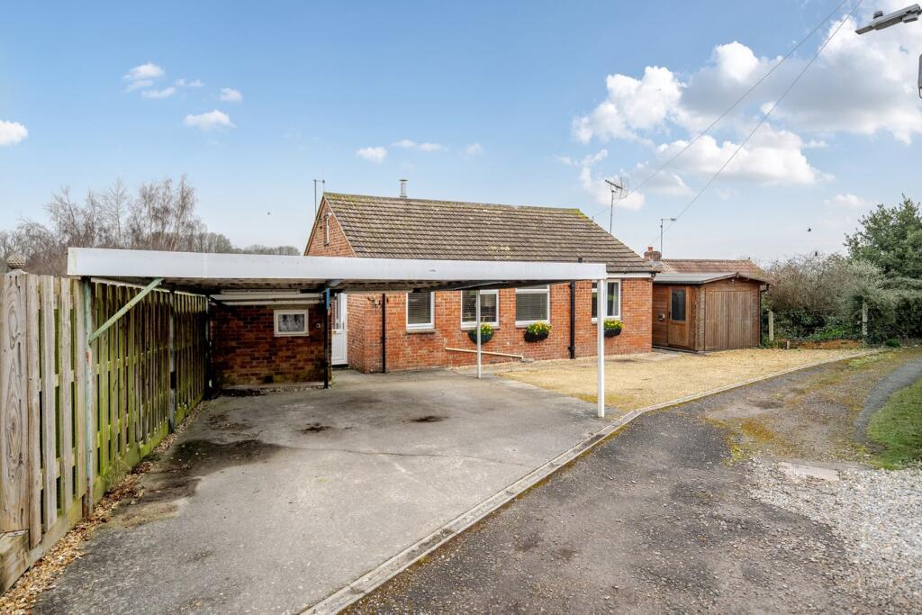
Photo 1 Photo 2 Photo 3 Photo 4 Photo 5 Photo 6 Photo 7 Photo 8 Photo 9 Photo 10 Photo 11 Photo 12 Photo 13 Photo 14 Photo 15 Photo 16 Photo 17 Photo 18 Photo 19
/ 19
Property details
Tenure
FREEHOLD
Floor area
59 m²
Council tax band
C
EPC rating
D
Last sold
£292,000 Jan 2026
Price per m²
£5,084/m²
Local average
£491,598 (-39%)
Deprivation
Decile 6 (17,541 of 33,755)
Street crime
58 incidents within 1 mile (May 2026)
Key features
- Detached bungalow
- Tucked away position
- Two bedrooms
- Gas central heating
- Double g;lazed
- Superb loft space for additional work/hobby area
- Ample parking and a DETACHED GARAGE
- Car port
Additional details
- Electricity
- Mains supply
- Water
- Mains supply
- Heating
- Gas
- Parking
- Yes
- Garden
- Yes
- Listed property
- No
- Restrictions
- No
- Required access
- No
- Rights of way
- No
- Flooded in last 5 years
- No
- Flood defences
- No
Description
Listed by
Warminster
Cooper & Tanner
Reference: 159891917
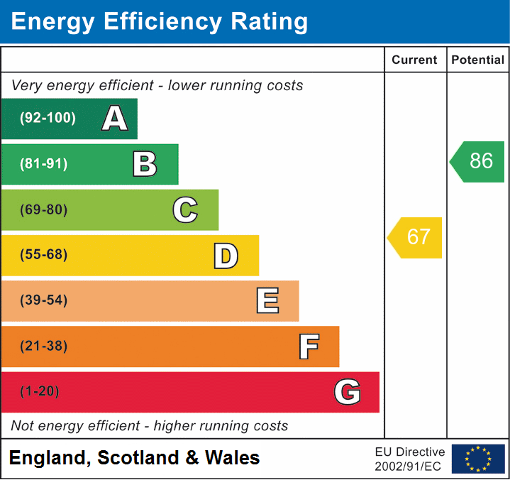
EPC Rating & Upgrade Cost
Current rating: D
Potential rating: B
Inspection date: 01/06/2023
Expiry date: 31/05/2033
Current heating cost: £890/year
Potential heating cost: £803/year
Est. upgrade cost to C: £14,923
Recommendations
- Floor insulation (solid floor) (£4,000 - £6,000)
- Increase hot water cylinder insulation (£15 - £30)
- Upgrade heating controls (£350 - £450)
- Solar water heating (£4,000 - £6,000)
- Solar photovoltaic panels, 2.5 kWp (£3,500 - £5,500)
Flood risk
Zone: 1
Risk: Low
Job (default Low)
Floorplans
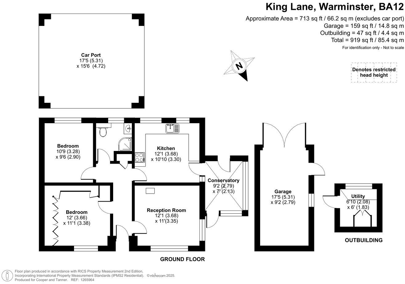
Floorplan 1
EPC Graphs
EPC 1

EPC 2
Price history
-0% since 2023
| Event | Date | Price | % change |
|---|---|---|---|
| Sold | 16/01/2026 (6 months ago) | £292,000 | -0.3% |
| Sold | 22/11/2023 (2 years ago) | £293,000 | — |
Source: HM Land Registry Price Paid Data. Crown copyright.
Sold Comparables
Same street and nearby sales within 0.25 miles (last 5 years). Data from Land Registry Price Paid.
| Address | Price | Date | Type |
|---|---|---|---|
| 6A BROOK STREET, WARMINSTER, WILTSHIRE, BA12 8DN | £435,000 | 09/01/2026 | Detached |
| Same street 20 KING LANE, WARMINSTER, WILTSHIRE, BA12 8DH | £298,000 | 17/12/2025 | Detached |
| 3 BROADWAY, WARMINSTER, WILTSHIRE, BA12 8EB | £355,000 | 16/12/2025 | Detached |
| 117 POUND STREET, WARMINSTER, WILTSHIRE, BA12 8NS | £348,000 | 12/12/2025 | Detached |
| 7 KING STREET, WARMINSTER, WILTSHIRE, BA12 8DG | £325,000 | 19/10/2023 | Detached |
| 5 BROADWAY, WARMINSTER, WILTSHIRE, BA12 8EB | £270,000 | 28/09/2023 | Detached |
| 4 KINGS ORCHARD, WARMINSTER, WILTSHIRE, BA12 8GA | £430,000 | 25/09/2023 | Detached |
| 13 KING STREET, WARMINSTER, WILTSHIRE, BA12 8DG | £310,000 | 05/07/2023 | Detached |
| 1 MADDOCKS HILL, WARMINSTER, WILTSHIRE, BA12 8DJ | £328,000 | 15/11/2022 | Detached |
| 3 BROADWAY, WARMINSTER, WILTSHIRE, BA12 8EB | £320,000 | 07/11/2022 | Detached |
| 21 BREAD STREET, WARMINSTER, WILTSHIRE, BA12 8DF | £320,000 | 28/10/2022 | Detached |
| 9A MADDOCKS HILL, WARMINSTER, WILTSHIRE, BA12 8DJ | £325,000 | 14/10/2022 | Detached |
| 5 BRADLEY ROAD, WARMINSTER, WILTSHIRE, BA12 8BL | £400,000 | 16/09/2022 | Detached |
| 2 KINGS RISE, WARMINSTER, WILTSHIRE, BA12 8DQ | £390,000 | 09/09/2022 | Detached |
| 28 CHAPEL STREET, WARMINSTER, WILTSHIRE, BA12 8BZ | £265,500 | 30/06/2022 | Detached |
| 16 BREAD STREET, WARMINSTER, WILTSHIRE, BA12 8DF | £512,500 | 14/04/2022 | Detached |
| 19 BROADWAY, WARMINSTER, WILTSHIRE, BA12 8EB | £317,500 | 05/01/2022 | Detached |
| 23 BRADLEY ROAD, WARMINSTER, WILTSHIRE, BA12 8BL | £311,000 | 17/11/2021 | Detached |
| 5 KING STREET, WARMINSTER, WILTSHIRE, BA12 8DG | £220,000 | 03/11/2021 | Detached |
| 9A MADDOCKS HILL, WARMINSTER, WILTSHIRE, BA12 8DJ | £290,000 | 30/09/2021 | Detached |
| Same street WARREEF KING LANE, WARMINSTER, WILTSHIRE, BA12 8DH | £285,000 | 28/09/2021 | Detached |
| 12 BROADWAY, WARMINSTER, WILTSHIRE, BA12 8EB | £280,000 | 17/09/2021 | Detached |
Street average: £291,500 (2 sales)
Area average: £337,625 (20 sales)
Capital growth trend
Land Registry outcode average: last 12 months vs 5y and 10y ago (from sold prices).
House Price Index (HM Land Registry — official index, not sold-price averages): Wiltshire. Series: Detached. As of April 2026.
Rental Range
Estimated market rent for Wiltshire. Low = conservative, Realistic = average, Optimistic = best case.
Based on Local Authority from postcode lookup → Wiltshire.
LHA (30th percentile) floor for West Wiltshire: £723/mo (Apr 2025 – Mar 2026)
Location
Nearby
Nearest stations, universities and amenities (distance from property).
| Type | Name | Distance |
|---|---|---|
| Bus stop | Tesco Express | 0.1 miles |
| Shop | Tesco Express | 0.1 miles |
| Bus stop | Shops | 0.1 miles |
| Shop | Co-op | 0.4 miles |
| Hospital | Warminster Community Hospital | 0.9 miles |
| Train station | Warminster | 1.0 miles |
| Train station | Dilton Marsh | 3.5 miles |
| Hospital | Frome Community Hospital | 5.7 miles |
Street-level crime
| Category | Count |
|---|---|
| Violence and sexual offences | 24 |
| Anti-social behaviour | 14 |
| Shoplifting | 7 |
| Other theft | 6 |
| Public order | 2 |
| Vehicle crime | 2 |
| Burglary | 1 |
| Possession of weapons | 1 |
| Robbery | 1 |
| Total incidents | 58 |
Within 1 mile during May 2026. Source: data.police.uk (England & Wales).
Schools nearby
Nearest open schools with Ofsted ratings (England). Closed schools are not shown. Data from Get Information about Schools and Ofsted.
| Name | Type | Distance | Ofsted |
|---|---|---|---|
| Princecroft Primary School | Primary | 0.3 miles | Good — 23 Mar 2018 |
| Sambourne Church of England Voluntary Controlled Primary School | Primary | 0.4 miles | Good — 13 Dec 2022 |
| The Minster CofE Primary School | Primary | 0.5 miles | Good — 18 Mar 2015 |
| Warminster School | Other | 0.7 miles | — (No rating) |
| The Avenue Primary School and Children's Centre | Primary | 0.9 miles | Good — 9 Jun 2024 |
Rental Comparables
Residential lets from OpenRent and Rightmove for the area (same bedroom count). Use to validate rent estimates. Student lets are excluded.
| Title | Rent | Beds | Distance | As seen on |
|---|---|---|---|---|
| 2 Bed Terraced House, Victoria Road, BA12 | £995/mo | 2 | 0.41 miles | OpenRent |
| 2 Bed End Terrace, Camellia Drive, BA12 | £827/mo | 2 | 0.45 miles | OpenRent |
| 2 Bed Terraced House, Blenheim Close, BA12 | £827/mo | 2 | 0.45 miles | OpenRent |
| 2 Bed Maisonette, Camellia Drive, BA12 | £900/mo | 2 | 0.47 miles | OpenRent |
| 2 Bed Terraced House, Russett Court, BA12 | £1,100/mo | 2 | 0.54 miles | OpenRent |
| 2 Bed Flat, Swaledale Road, BA12 | £950/mo | 2 | 0.55 miles | OpenRent |
| 2 Bed Terraced House, North Row, BA12 | £1,100/mo | 2 | 0.82 miles | OpenRent |
| 2 Bed Flat, Orchard Close, BA12 | £795/mo | 2 | 1.15 miles | OpenRent |
Average rent: £937/mo (8 listings)
Rent-driven metrics
Based on OpenRent comparables.
- Rent ratio — Monthly rent ÷ purchase price (1% rule). 1%+ = strong, 0.8–1% = okay, <0.8% = weak for cashflow.
- Max investor price — Rent ÷ 0.8%; the price at which rent would be 0.8% of price (Stoke-style target).
- Target investor price — Rent ÷ 1%; the price at which rent would be 1% of price (strong cashflow band).
- Gross yield — Annual rent as % of purchase price (no costs).
- Cost-to-rent — Price ÷ annual rent (from OpenRent comparables). Under 14× = strong, 14–16× = acceptable, 17×+ = compressed.
- Cashflow — Rent minus mortgage, 10% maintenance, £25/mo compliance. Assumes 75% LTV, 3.95% APR (5yr fixed), 25yr term.
- ROI — Annual profit ÷ cash in (deposit + 4% purchase costs).