12 MOORHEN WALK
GREENHITHE, KENT DA9 9TZ
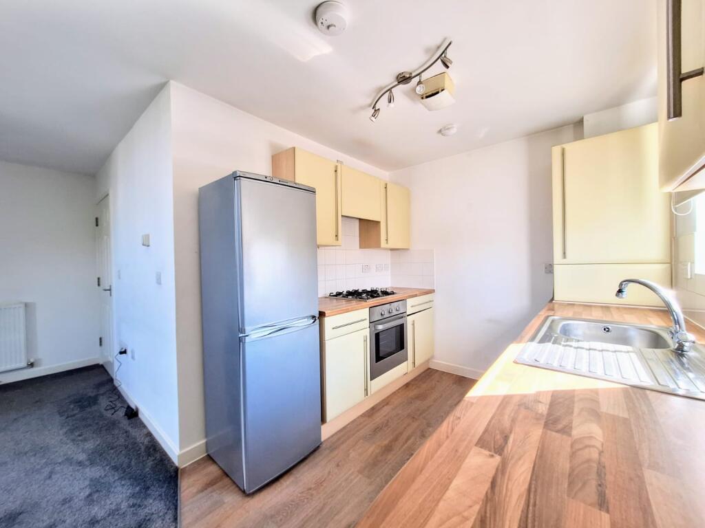
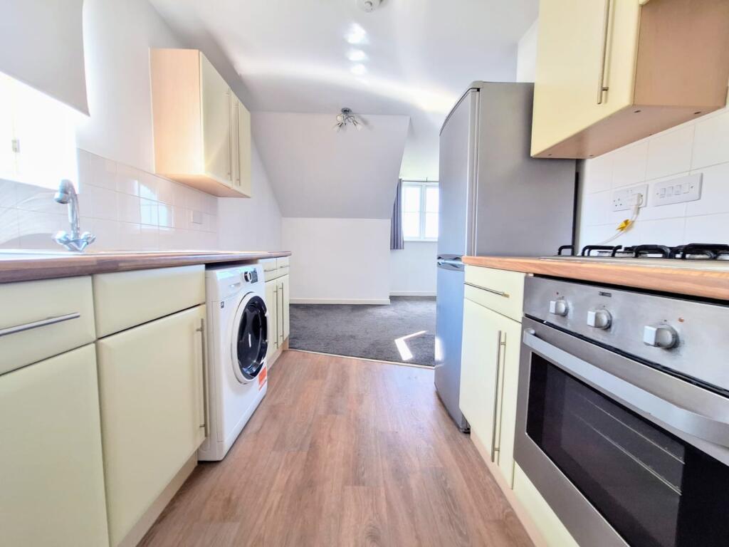
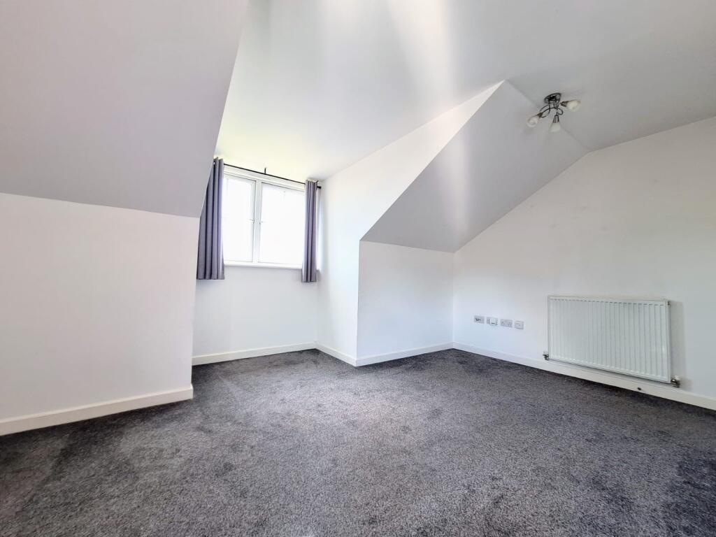
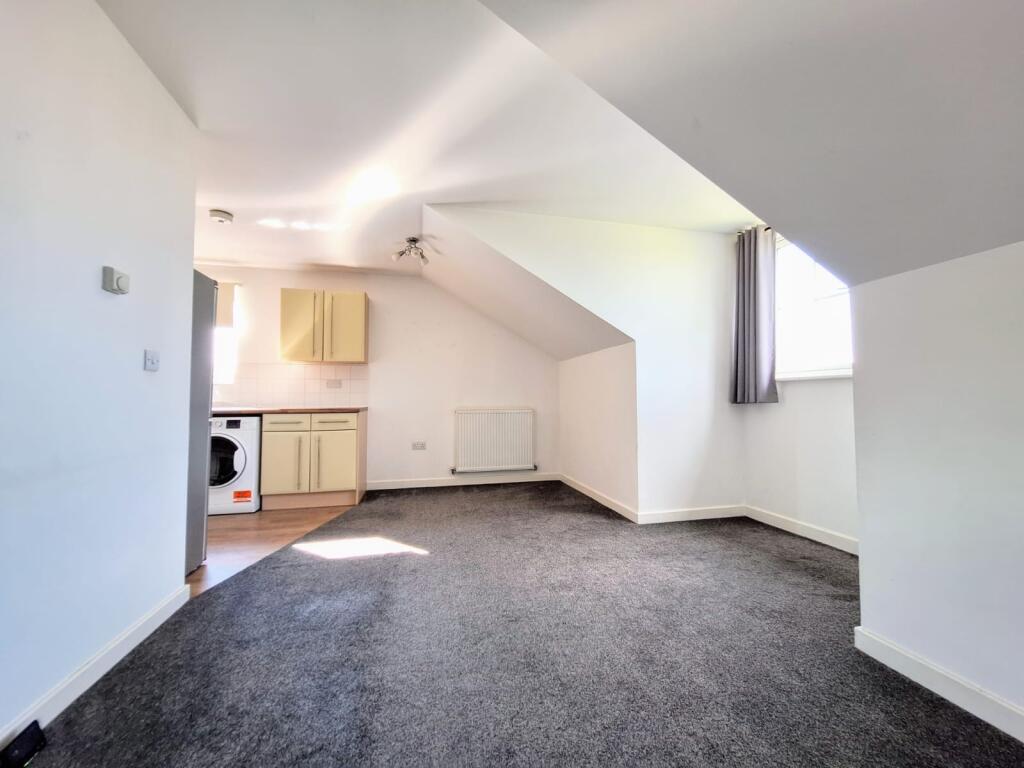
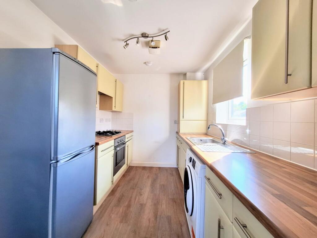
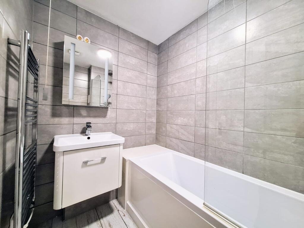
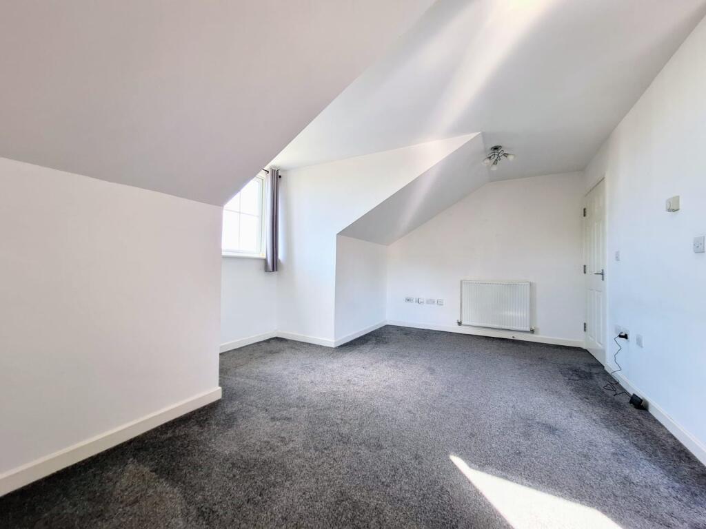
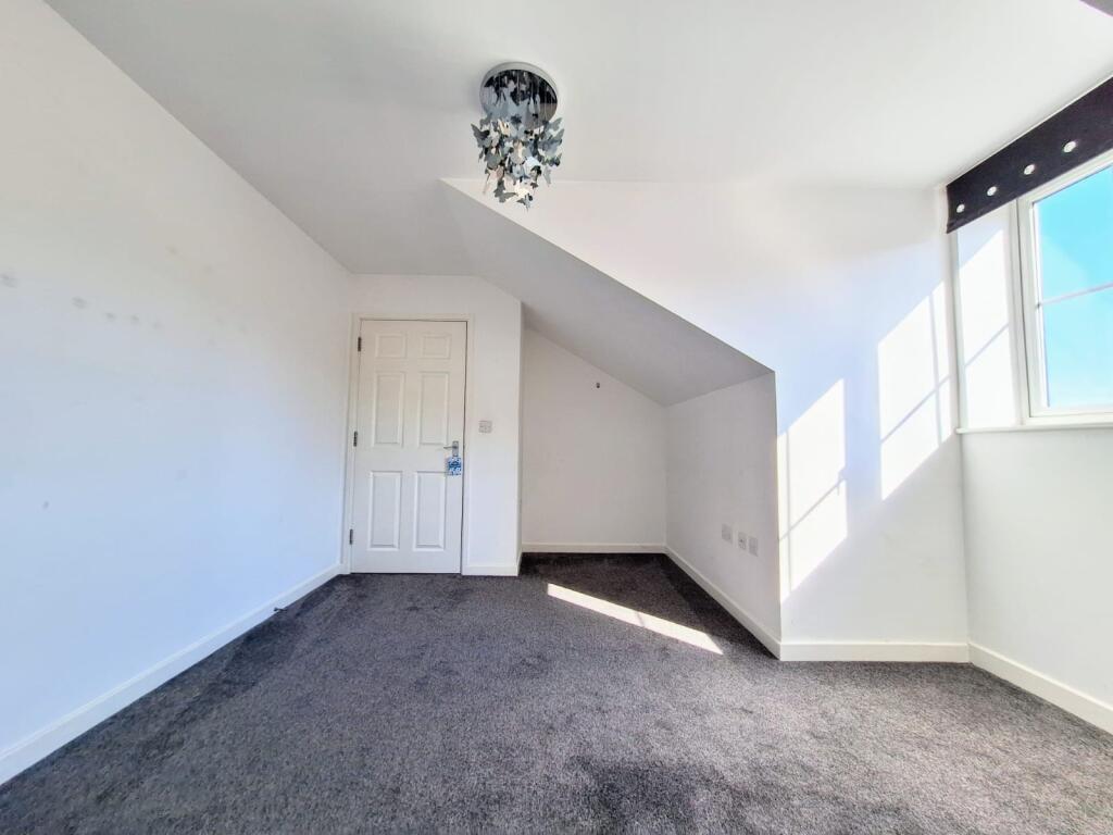
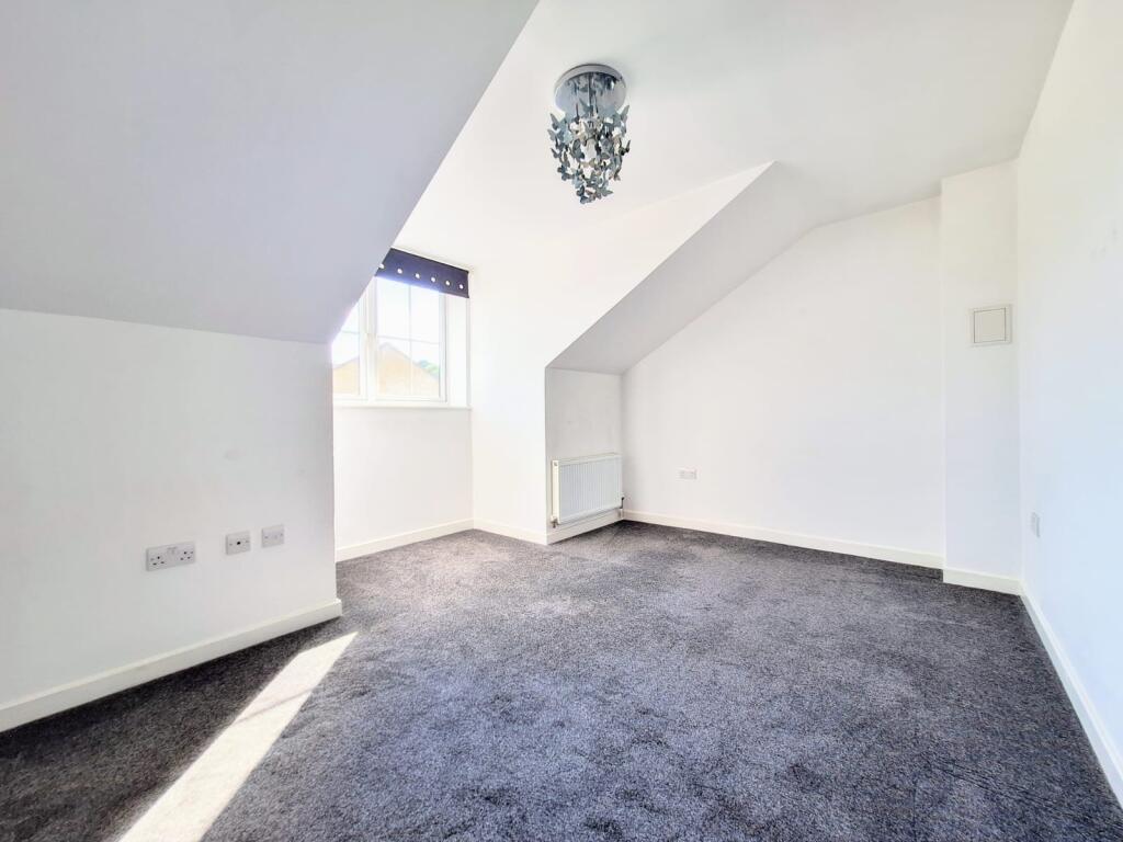
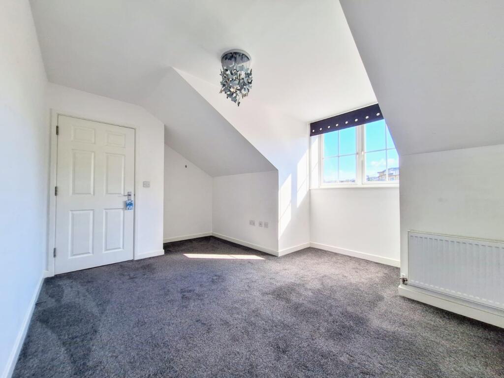
Photo 1 Photo 2 Photo 3 Photo 4 Photo 5 Photo 6 Photo 7 Photo 8 Photo 9 Photo 10
/ 10
Property details
Floor area
45 m²
EPC rating
C
Year built
England and Wales: 2007-2011
Street crime
317 incidents within 1 mile (Apr 2026)
Key features
- AVAILABLE NOW
- TOP FLOOR ACCOMMODATION
- ALLOCATED PARKING FOR ONE
- CLOSE TO STATION
- WALKING DISTANCE TO BLUEWATER
- FULLY DOUBLE GLAZED
- MODERN DECOR
- OFFERED UNFURNISHED
- COUNCIL TAX BAND C
- EPC GRADE C
Additional details
- Parking
- Yes
Description
Situated on the top floor of this modern block, the property comprises a spacious bedroom, contemporary fitted kitchen/diner and bathroom suite with the benefit of bath and shower.
The property comes with an allocated parking space.
The location is strategic with Greenhithe Mainline railway station being around a ten minute walk away and provides a direct link to London stations. Ebbsfleet international station is a five minute drive and offers a fast service to Stratford and St Pancras international as well as Paris in 2 hours. Council Tax Band: Holding Deposit: £253.00
Listed by
Dartford
Countrywide UK Lettings - Connells
Reference: 159793781
EPC Rating & Upgrade Cost
Current rating: C
Potential rating: C
Inspection date: 12/02/2022
Expiry date: 11/02/2032
Current heating cost: £220/year
Potential heating cost: £220/year
Flood risk
Zone: 1
Risk: Low
Job (default Low)
Floorplans
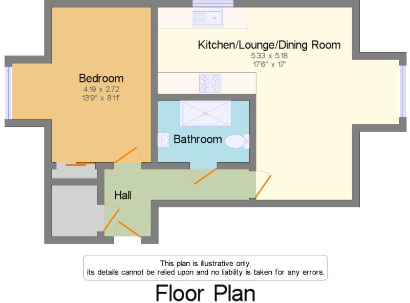
Floorplan 1
Rental Range
Estimated market rent for Dartford. Low = conservative, Realistic = average, Optimistic = best case.
Based on Local Authority from postcode lookup → Dartford.
LHA (30th percentile) floor for North West Kent: £748/mo (Apr 2025 – Mar 2026)
Location
Nearby
Nearest stations, universities and amenities (distance from property).
| Type | Name | Distance |
|---|---|---|
| Bus stop | Waterstone Park | 0.1 miles |
| Shop | Nisa Local | 0.2 miles |
| Train station | Greenhithe | 0.3 miles |
| Shop | Deluxe Flower Walls | 0.3 miles |
| University | University of Greenwich | 0.6 miles |
| Train station | Stone Crossing | 0.7 miles |
| Hospital | Jasmine Centre | 1.1 miles |
| Hospital | King's / Dartford Dialysis Unit | 1.1 miles |
| University | Unknown | 11.2 miles |
Street-level crime
| Category | Count |
|---|---|
| Shoplifting | 182 |
| Violence and sexual offences | 45 |
| Anti-social behaviour | 35 |
| Vehicle crime | 13 |
| Criminal damage and arson | 10 |
| Other theft | 7 |
| Burglary | 5 |
| Other crime | 5 |
| Public order | 5 |
| Drugs | 4 |
| Possession of weapons | 3 |
| Robbery | 2 |
| Theft from the person | 1 |
| Total incidents | 317 |
Within 1 mile during Apr 2026. Source: data.police.uk (England & Wales).
Schools nearby
Nearest open schools with Ofsted ratings (England). Closed schools are not shown. Data from Get Information about Schools and Ofsted.
| Name | Type | Distance | Ofsted |
|---|---|---|---|
| Knockhall Primary School | Primary | 0.5 miles | Requires improvement — 13 Sep 2023 |
| Stone St Mary's CofE Primary School | Primary | 0.7 miles | Good — 3 Jun 2014 |
| The Craylands School | Primary | 1.1 miles | Good — 5 Jul 2016 |
| Stone Lodge School | Secondary | 1.3 miles | Good — 22 Nov 2023 |
| The Brent Primary School | Primary | 1.4 miles | Good — 23 Sep 2024 |
Rental Comparables
Loading rental comparables for this postcode. Refresh in a few minutes.