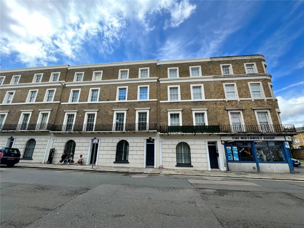
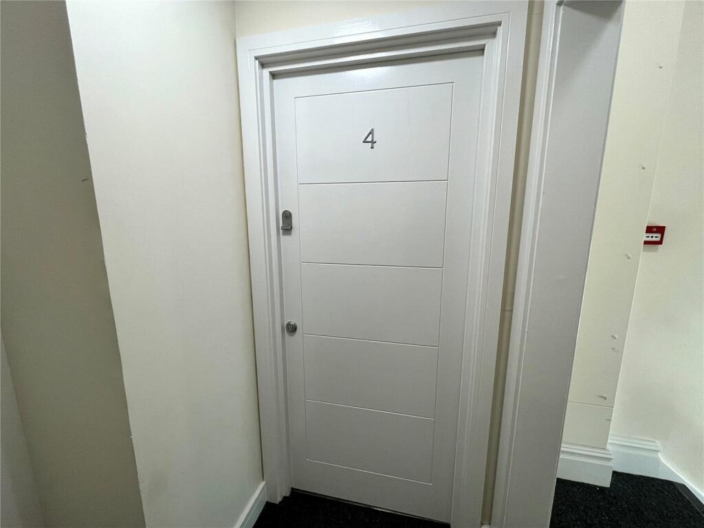
FLAT 4
3 - 5, HARMER STREET, GRAVESEND, KENT DA12 2AP

Property details
Tenure
LEASEHOLD (148 years remaining on lease)
Floor area
44 m²
Council tax band
C
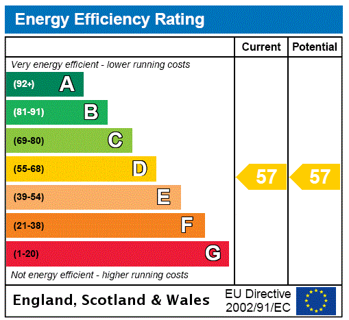
EPC rating
B
Year built
England and Wales: before 1900
Last sold
£160,000 Mar 2024
Price per m²
£3,636/m²
Local average
£171,200 (-6.5%)
Deprivation
Decile 1 (1,706 of 33,755)
Street crime
337 incidents within 1 mile (Apr 2026)
Key features
- Secondary Glazing
- Gas Central Heating
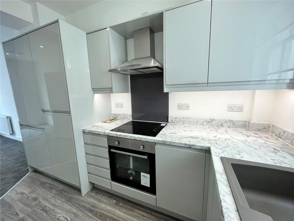
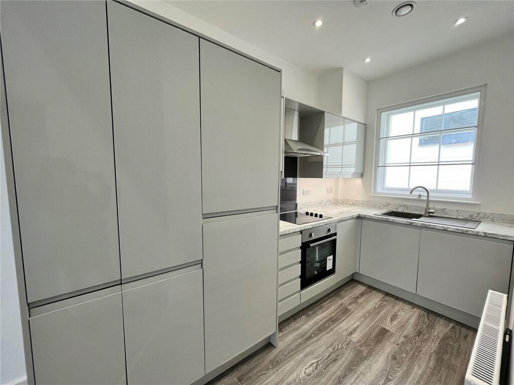
- Newly Fitted Kitchen
- Newly Fitted Bathroom
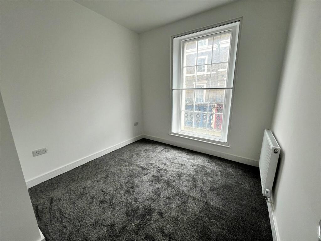
- Newly laid carpet
- Long Lease
- Available for immediate occupation
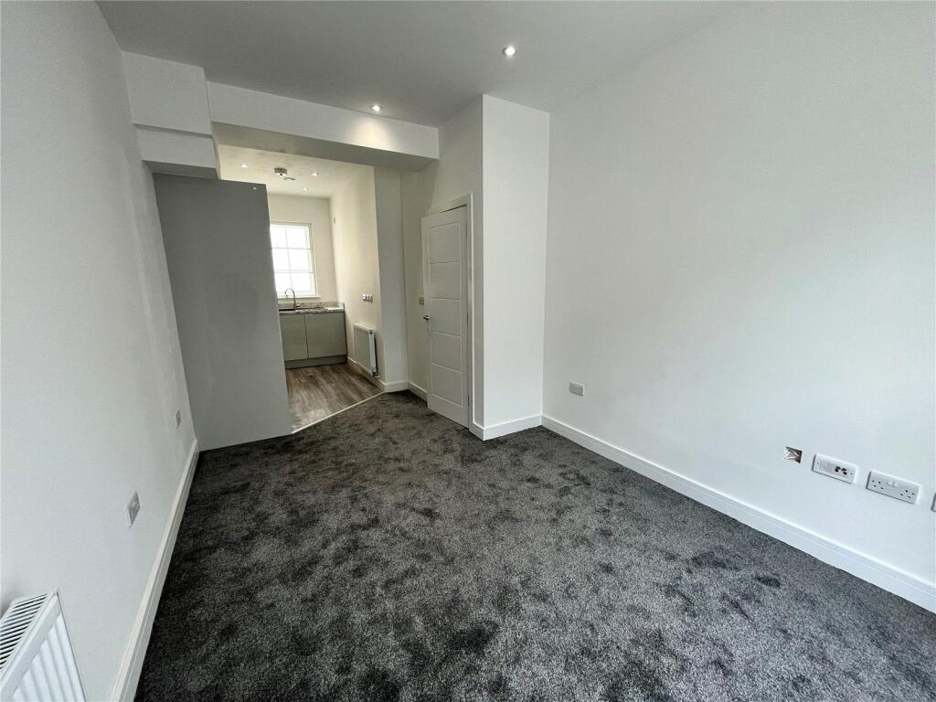
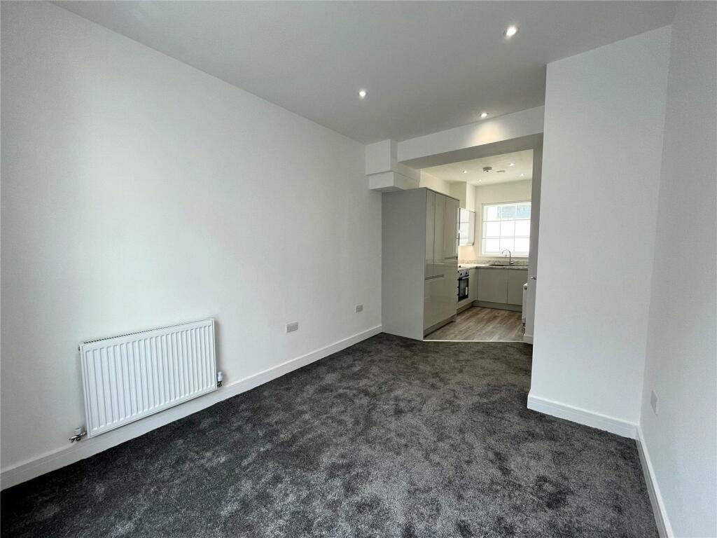
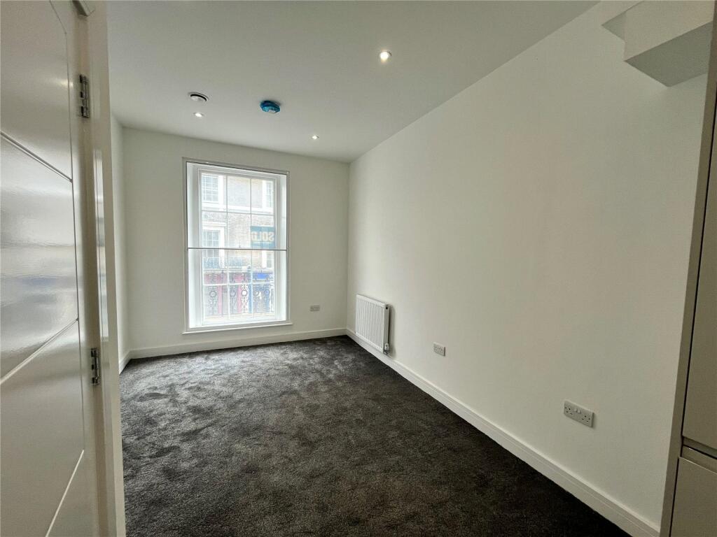
Description
Key Terms
This property is a stone’s throw away from the town centre, ideal for the local shops, restaurants and amenities. For commuters, the high speed service from Gravesend station gets into London within 23 minutes, allowing you more social time with the family.
Listed by
Gravesend
Robinson Jackson
Reference: 136972181
EPC Rating & Upgrade Cost
Current rating: B
Potential rating: B
Inspection date: 06/04/2024
Expiry date: 05/04/2034
Current heating cost: £344/year
Potential heating cost: £266/year
Est. upgrade cost to C: £225
Recommendations
- Increase loft insulation to 270 mm (£100 - £350)
Flood risk
Zone: 1
Risk: Low
Job (default Low)
EPC Graphs
EPC Rating Graph
Price history
| Event | Date | Price | % change |
|---|---|---|---|
| Sold | 22/03/2024 (2 years ago) | £160,000 | — |
Source: HM Land Registry Price Paid Data. Crown copyright.
Sold Comparables
Same street and nearby sales within 0.25 miles (last 5 years). Data from Land Registry Price Paid.
| Address | Price | Date | Type |
|---|---|---|---|
| Same street 29 HARMER STREET, GRAVESEND, GRAVESHAM, KENT, DA12 2AP | £400,000 | 01/12/2025 | Terraced |
| 29 PILOTS PLACE, GRAVESEND, GRAVESHAM, KENT, DA12 2DG | £78,000 | 02/10/2024 | Flat |
| 16B MILTON PLACE, GRAVESEND, GRAVESHAM, KENT, DA12 2BT | £190,000 | 21/12/2023 | Flat |
| 15A MILTON PLACE, GRAVESEND, GRAVESHAM, KENT, DA12 2BT | £200,000 | 30/10/2023 | Flat |
| Same street 9 - 11 FLAT 7 HARMER STREET, GRAVESEND, GRAVESHAM, KENT, DA12 2AP | £165,000 | 13/10/2023 | Flat |
| 156B MILTON ROAD, GRAVESEND, GRAVESHAM, KENT, DA12 2RG | £121,000 | 05/10/2023 | Flat |
| Same street 35 HARMER STREET, GRAVESEND, GRAVESHAM, KENT, DA12 2AP | £250,000 | 29/09/2023 | Flat |
| Same street 15B HARMER STREET, GRAVESEND, GRAVESHAM, KENT, DA12 2AP | £117,000 | 25/08/2023 | Flat |
| 6 PILOTS PLACE, GRAVESEND, GRAVESHAM, KENT, DA12 2DG | £120,000 | 23/08/2023 | Flat |
| Same street 9 - 11 FLAT 8 HARMER STREET, GRAVESEND, GRAVESHAM, KENT, DA12 2AP | £200,000 | 12/05/2023 | Flat |
| Same street 9 - 11 FLAT 2 HARMER STREET, GRAVESEND, GRAVESHAM, KENT, DA12 2AP | £225,000 | 28/03/2023 | Flat |
| Same street 9 - 11 FLAT 5 HARMER STREET, GRAVESEND, GRAVESHAM, KENT, DA12 2AP | £167,500 | 28/03/2023 | Flat |
| 24 PILOTS PLACE, GRAVESEND, GRAVESHAM, KENT, DA12 2DG | £80,000 | 13/01/2023 | Flat |
| 28 FLAT 1 HARMER STREET, GRAVESEND, GRAVESHAM, KENT, DA12 2AX | £170,000 | 09/12/2022 | Flat |
| Same street 3 - 5 FLAT 5 HARMER STREET, GRAVESEND, GRAVESHAM, KENT, DA12 2AP | £200,000 | 12/10/2022 | Flat |
| Same street 9 - 11 FLAT 6 HARMER STREET, GRAVESEND, GRAVESHAM, KENT, DA12 2AP | £200,000 | 03/08/2022 | Flat |
| Same street 3 - 5 FLAT 6 HARMER STREET, GRAVESEND, GRAVESHAM, KENT, DA12 2AP | £170,000 | 29/07/2022 | Flat |
| Same street 3 - 5 FLAT 3 HARMER STREET, GRAVESEND, GRAVESHAM, KENT, DA12 2AP | £205,000 | 12/07/2022 | Flat |
| Same street 3 - 5 FLAT 2 HARMER STREET, GRAVESEND, GRAVESHAM, KENT, DA12 2AP | £240,000 | 22/04/2022 | Flat |
| Same street 9 - 11 FLAT 3 HARMER STREET, GRAVESEND, GRAVESHAM, KENT, DA12 2AP | £170,000 | 19/04/2022 | Flat |
| Same street 7 FLAT 2 HARMER STREET, GRAVESEND, GRAVESHAM, KENT, DA12 2AP | £150,000 | 08/04/2022 | Flat |
| CHANTRY COURT FLAT 85 GORDON PLACE, GRAVESEND, GRAVESHAM, KENT, DA12 2BX | £118,000 | 07/04/2022 | Flat |
| 104 WEST CRESCENT ROAD, GRAVESEND, GRAVESHAM, KENT, DA12 2AB | £122,000 | 04/01/2022 | Flat |
| 58A THE TERRACE, GRAVESEND, GRAVESHAM, KENT, DA12 2BB | £175,000 | 17/12/2021 | Flat |
| ALPHA HOUSE FLAT 20 PEACOCK STREET, GRAVESEND, GRAVESHAM, KENT, DA12 1DW | £157,000 | 14/12/2021 | Flat |
| 58B THE TERRACE, GRAVESEND, GRAVESHAM, KENT, DA12 2BB | £178,000 | 30/09/2021 | Flat |
| 54C THE TERRACE, GRAVESEND, GRAVESHAM, KENT, DA12 2BB | £145,501 | 29/09/2021 | Flat |
| 18C MILTON PLACE, GRAVESEND, GRAVESHAM, KENT, DA12 2BT | £140,000 | 23/09/2021 | Flat |
| 30 PILOTS PLACE, GRAVESEND, GRAVESHAM, KENT, DA12 2DG | £100,000 | 28/06/2021 | Flat |
Street average: £204,250 (14 sales)
Area average: £139,633 (15 sales)
Capital growth trend
Land Registry outcode average: last 12 months vs 5y and 10y ago (from sold prices).
House Price Index (HM Land Registry — official index, not sold-price averages): Gravesham. Series: Flats and maisonettes. As of March 2026.
Rental Range
Estimated market rent for Gravesham. Low = conservative, Realistic = average, Optimistic = best case.
Based on Local Authority from postcode lookup → Gravesham.
LHA (30th percentile) floor for North West Kent: £748/mo (Apr 2025 – Mar 2026)
Location
Nearby
Nearest stations, universities and amenities (distance from property).
| Type | Name | Distance |
|---|---|---|
| Shop | Chalmers | 0.0 miles |
| Bus stop | Clock Tower Harmer Street | 0.0 miles |
| Shop | Terrace Tavern Food & Wine | 0.1 miles |
| Bus stop | Clock Tower | 0.1 miles |
| Train station | Gravesend | 0.3 miles |
| Hospital | Gravesham Community Hospital | 0.4 miles |
| Train station | Tilbury Town | 1.6 miles |
| Hospital | Thurrock Community Hospital | 4.1 miles |
| University | University of Greenwich | 4.6 miles |
| University | Unknown | 7.4 miles |
Street-level crime
| Category | Count |
|---|---|
| Violence and sexual offences | 120 |
| Anti-social behaviour | 66 |
| Criminal damage and arson | 37 |
| Other theft | 27 |
| Shoplifting | 22 |
| Vehicle crime | 16 |
| Public order | 13 |
| Drugs | 12 |
| Robbery | 9 |
| Burglary | 5 |
| Bicycle theft | 3 |
| Other crime | 3 |
| Possession of weapons | 3 |
| Theft from the person | 1 |
| Total incidents | 337 |
Within 1 mile during Apr 2026. Source: data.police.uk (England & Wales).
Schools nearby
Nearest open schools with Ofsted ratings (England). Closed schools are not shown. Data from Get Information about Schools and Ofsted.
| Name | Type | Distance | Ofsted |
|---|---|---|---|
| Pier View Academy | Other | 0.1 miles | Good — 22 Sep 2022 |
| Chantry Community Primary School | Primary | 0.2 miles | Good — 20 Jan 2017 |
| Holy Trinity Church of England Primary School | Primary | 0.3 miles | Good — 17 Oct 2018 |
| Bronte School | Other | 0.5 miles | — (No rating) |
| Wrotham Road Primary School | Primary | 0.5 miles | Good — 12 Sep 2016 |
Rental Comparables
Loading rental comparables for this postcode. Refresh in a few minutes.
Rent-driven metrics
Based on Area rent estimate.
- Rent ratio — Monthly rent ÷ purchase price (1% rule). 1%+ = strong, 0.8–1% = okay, <0.8% = weak for cashflow.
- Max investor price — Rent ÷ 0.8%; the price at which rent would be 0.8% of price (Stoke-style target).
- Target investor price — Rent ÷ 1%; the price at which rent would be 1% of price (strong cashflow band).
- Gross yield — Annual rent as % of purchase price (no costs).