Wickham House
THE GREEN, BRISTOL, IRON ACTON, SOUTH GLOUCESTERSHIRE BS37 9TQ
£535,000
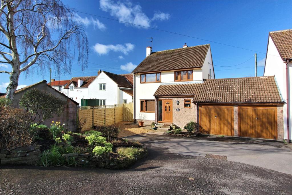
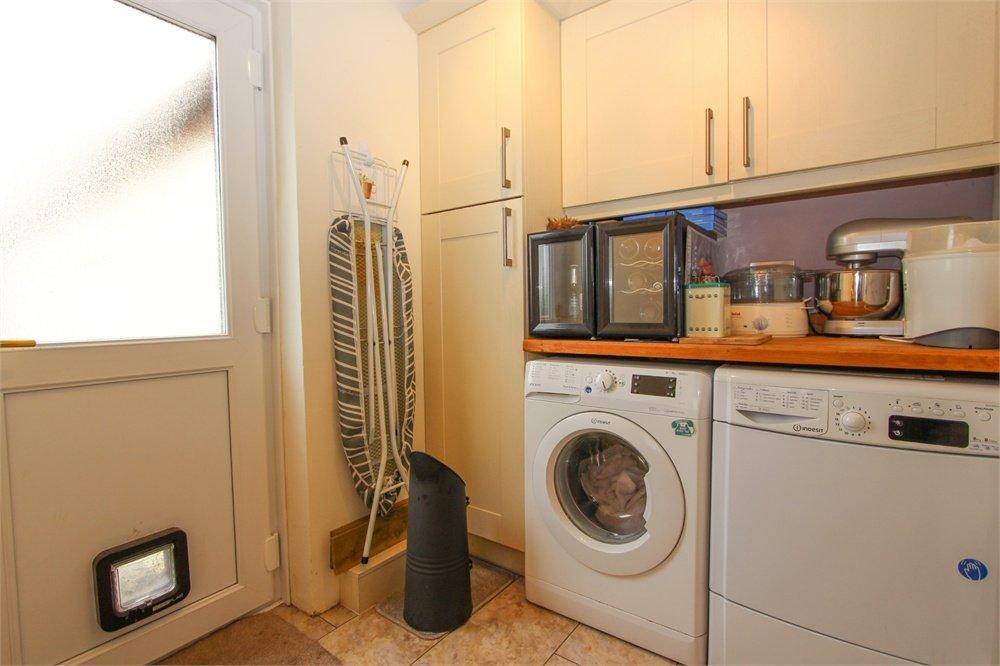
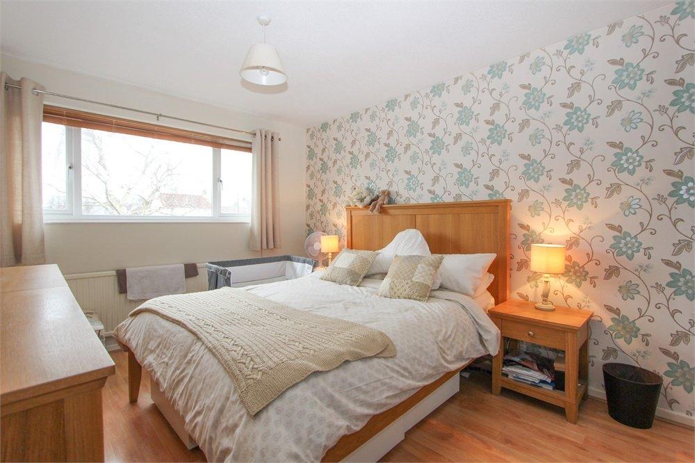
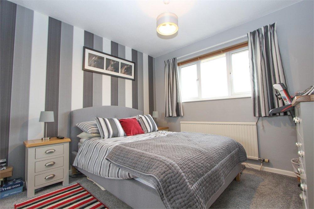
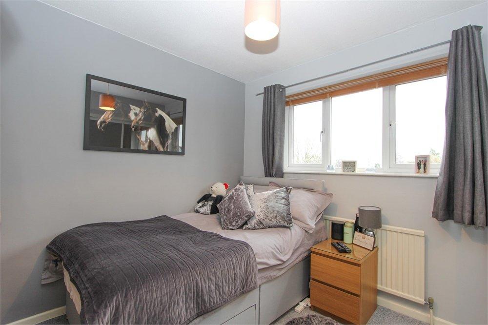
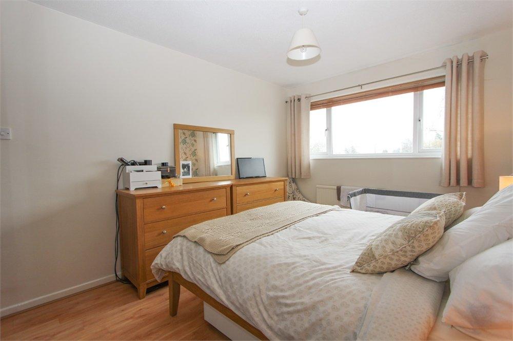
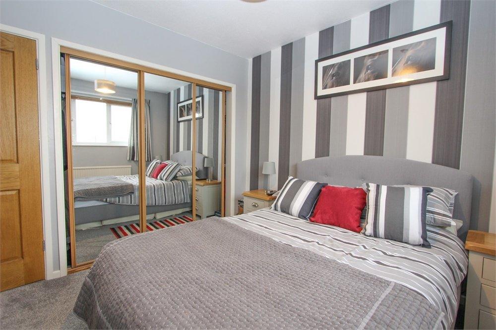
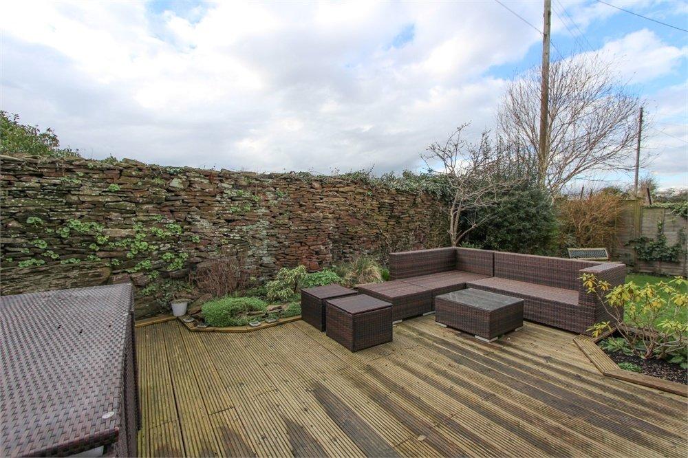
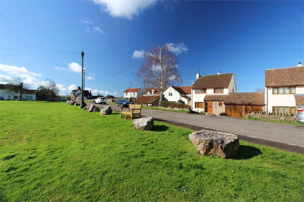
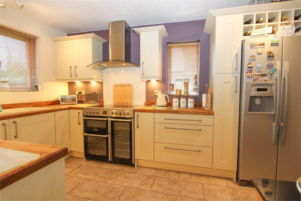
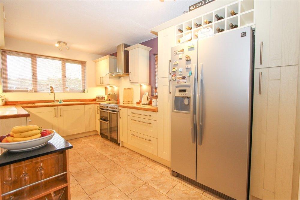
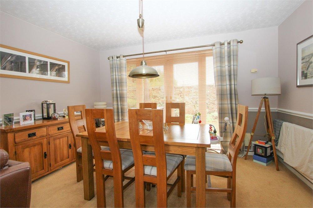
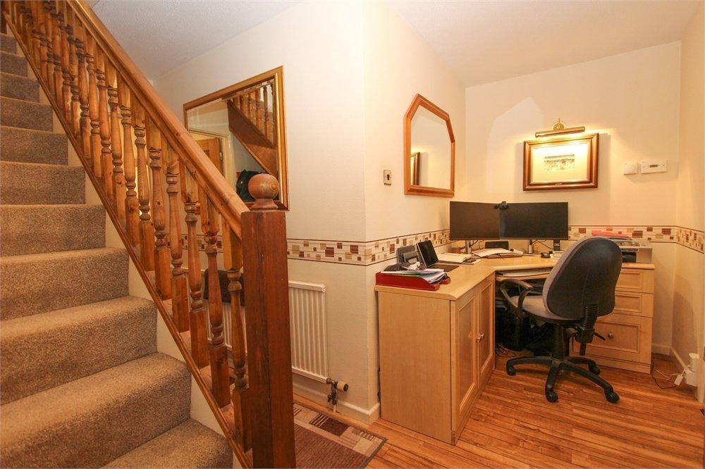
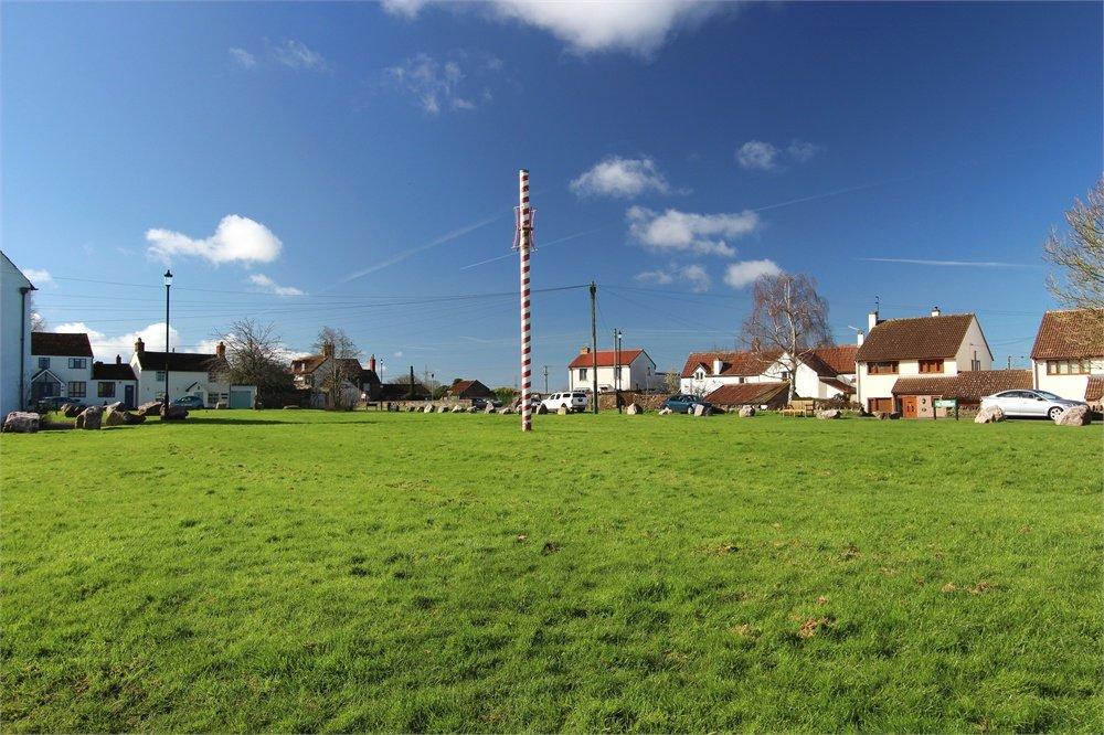
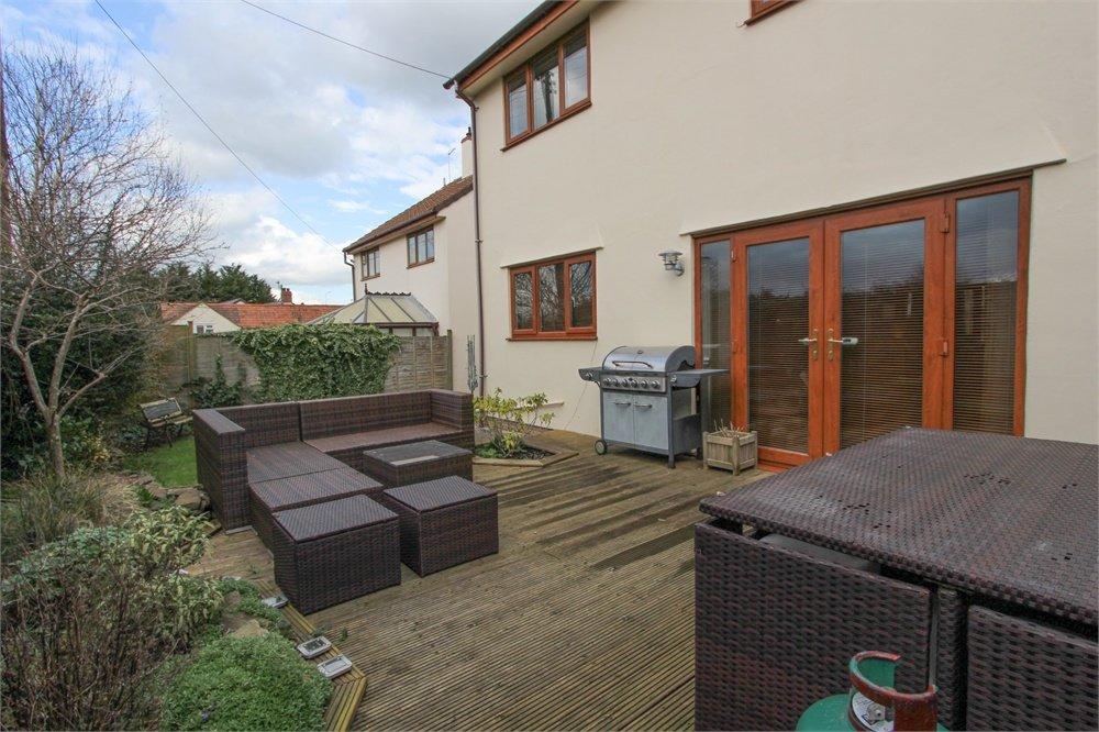
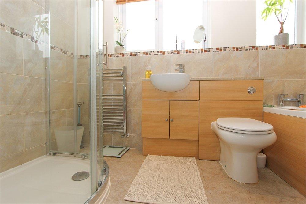
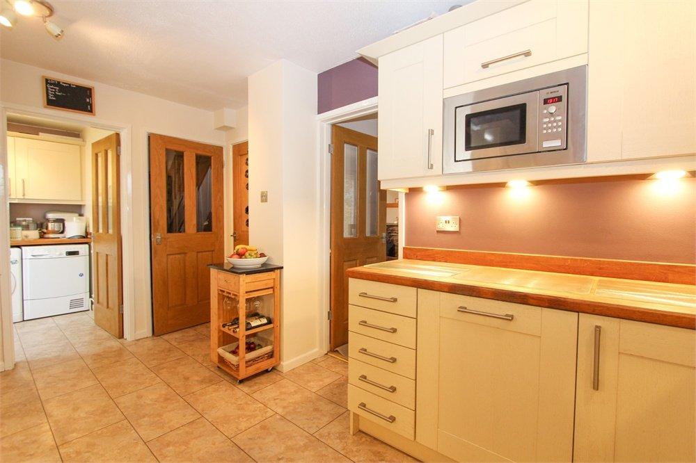
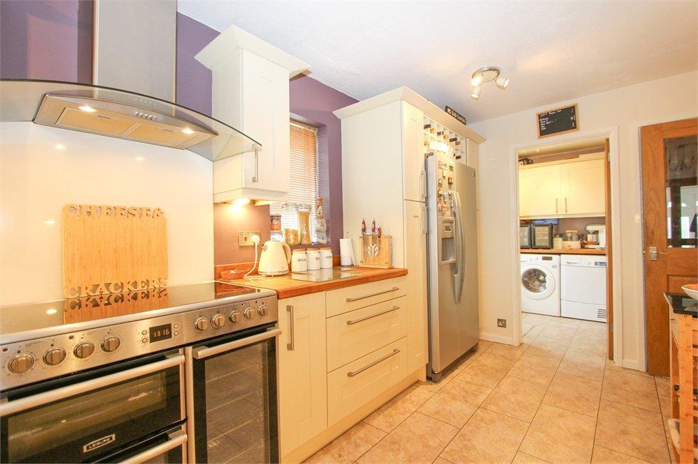
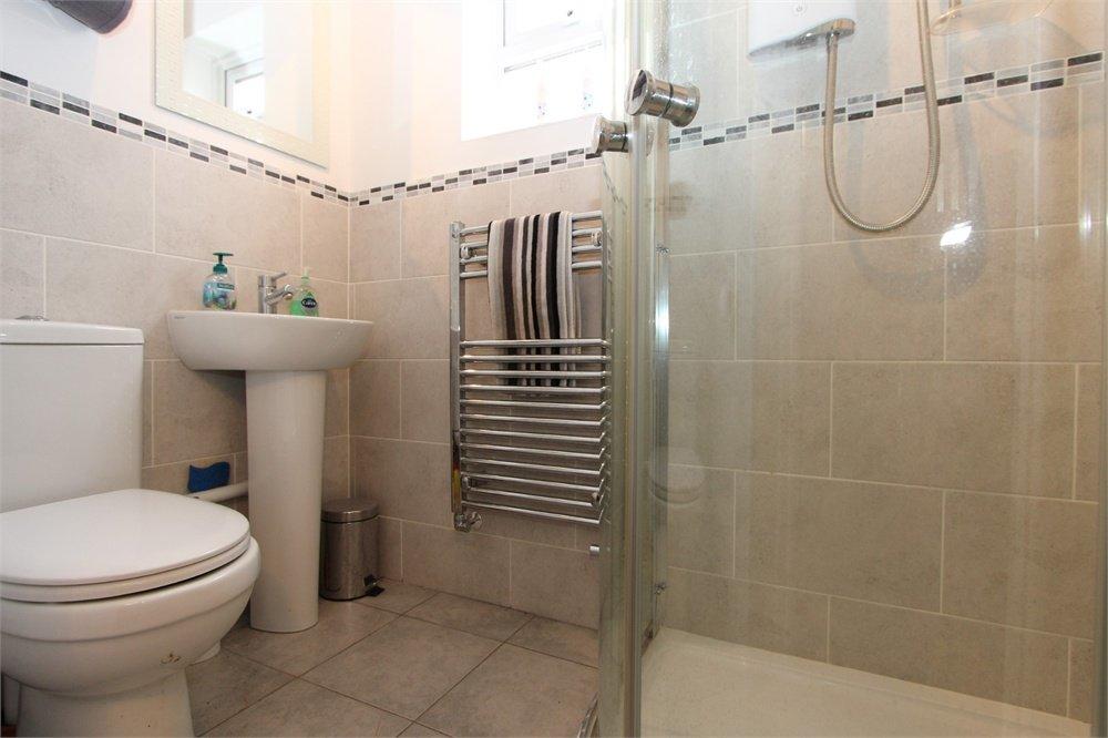
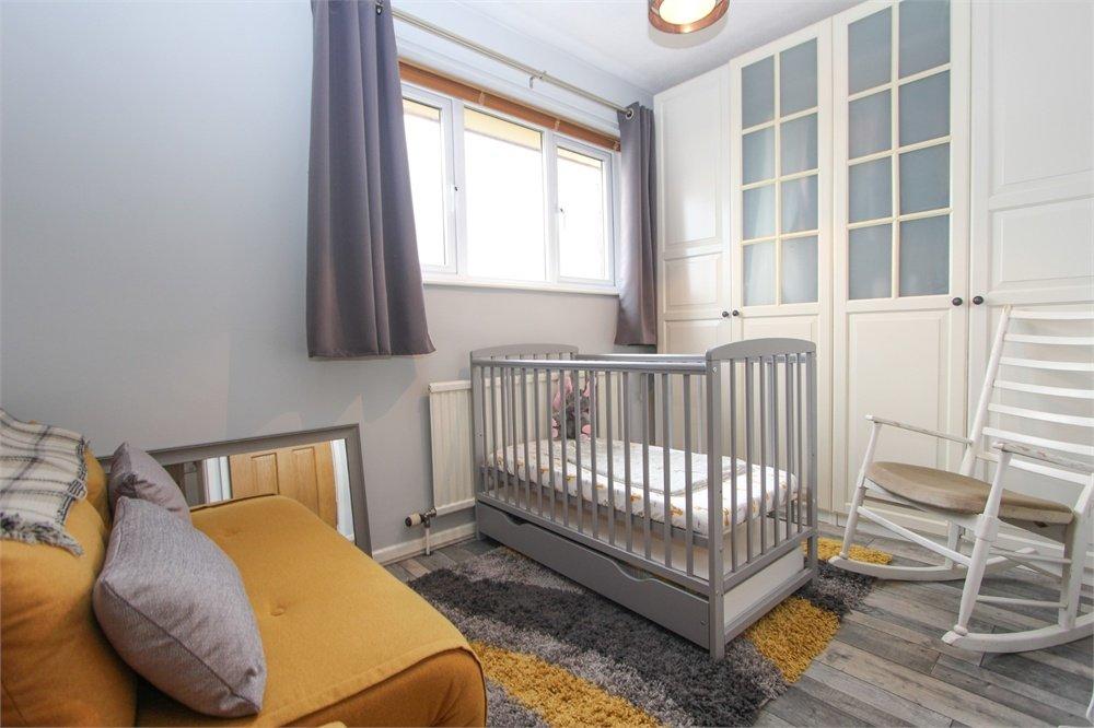
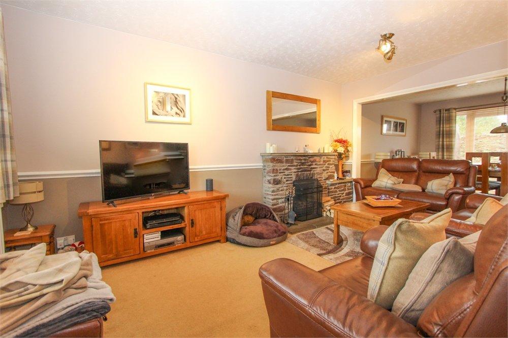
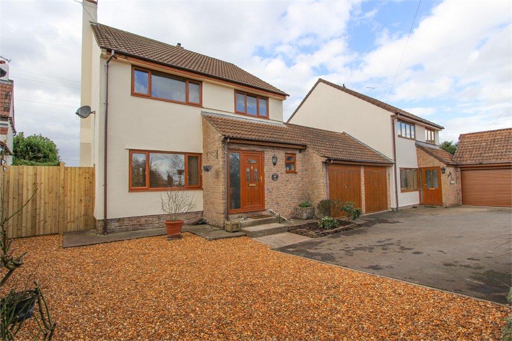
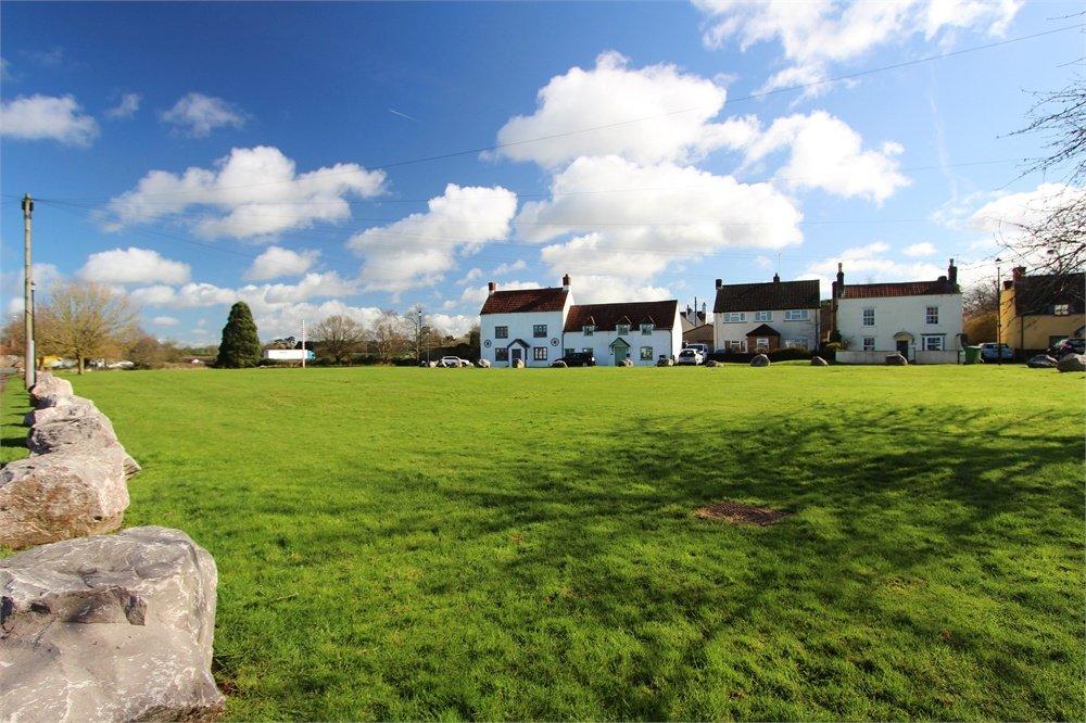
Photo 1 Photo 2 Photo 3 Photo 4 Photo 5 Photo 6 Photo 7 Photo 8 Photo 9 Photo 10 Photo 11 Photo 12 Photo 13 Photo 14 Photo 15 Photo 16 Photo 17 Photo 18 Photo 19 Photo 20 Photo 21 Photo 22 Photo 23
/ 23
Property details
Tenure
FREEHOLD
Floor area
113 m²
Year built
England and Wales: 1976-1982
Last sold
£540,000 Sep 2022
Price per m²
£4,735/m²
Local average
£488,384 (+9.5%)
Deprivation
Decile 7 (20,398 of 33,755)
Street crime
0 incidents within 1 mile (Apr 2026)
Key features
- Link Detached Family Home - Non Estate Position Overlooking Village Green - Countryside to Rear - Four Bedrooms - Lounge/Diner - Kitchen - Utility Room - Family Bathroom Plus Downstairs WC/Shower Room
Additional details
- Parking
- Yes
- Garden
- Yes
Description
Listed by
Chipping Sodbury
Milburys Estate Agents
Reference: 124097600
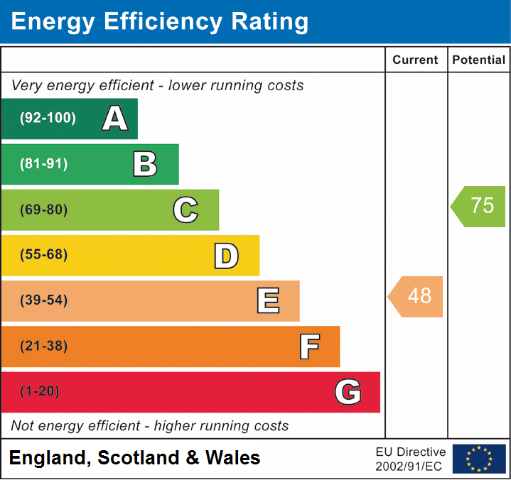
EPC ratings on this postcode
We don't have a matched EPC for this property yet. Below are efficiency scores and details for other addresses on this postcode.
| Address | Current | Potential | Floor area | Age band | Type |
|---|---|---|---|---|---|
| 2 The Green, Iron Acton, BRISTOL | 62 | 70 | 147 m² | England and Wales: 1976-1982 | Detached |
| 2, The Green, Iron Acton, BRISTOL | 42 | 70 | 119 m² | England and Wales: 1967-1975 | Detached |
| Acton House, The Green, Iron Acton, BRISTOL | 56 | 75 | 362 m² | England and Wales: before 1900 | Detached |
| Chapel Patch, The Green, Iron Acton, BRISTOL | 69 | 84 | 62 m² | England and Wales: 2003-2006 | Detached |
| Elton Cottage, The Green, Iron Acton, BRISTOL | 40 | 79 | 111 m² | England and Wales: before 1900 | Detached |
| Lanarca, The Green, Iron Acton, BRISTOL | 50 | 62 | 136 m² | England and Wales: 2012 onwards | Detached |
| Middle Cottage, The Green, Iron Acton, BRISTOL | 43 | 95 | 52 m² | England and Wales: before 1900 | Terraced |
| Penny Farthing, The Green, Iron Acton, BRISTOL | 76 | 76 | 72 m² | — | Detached |
| Rustic Villa, The Green, Iron Acton, BRISTOL | 60 | 75 | 100 m² | England and Wales: before 1900 | Detached |
| South View Cottage, The Green, Iron Acton, BRISTOL | 52 | 77 | 145 m² | England and Wales: before 1900 | Detached |
| South View Cottage, The Green, Iron Acton, BRISTOL | 45 | 83 | 126 m² | England and Wales: before 1900 | Detached |
| Two Wheels, The Green, Iron Acton, BRISTOL | 73 | 73 | 105 m² | — | Detached |
| Wickham House, The Green, Iron Acton, BRISTOL | 48 | 75 | 113 m² | England and Wales: 1976-1982 | Detached |
Flood risk
Zone: 1
Risk: Low
Job (default Low)
Floorplans
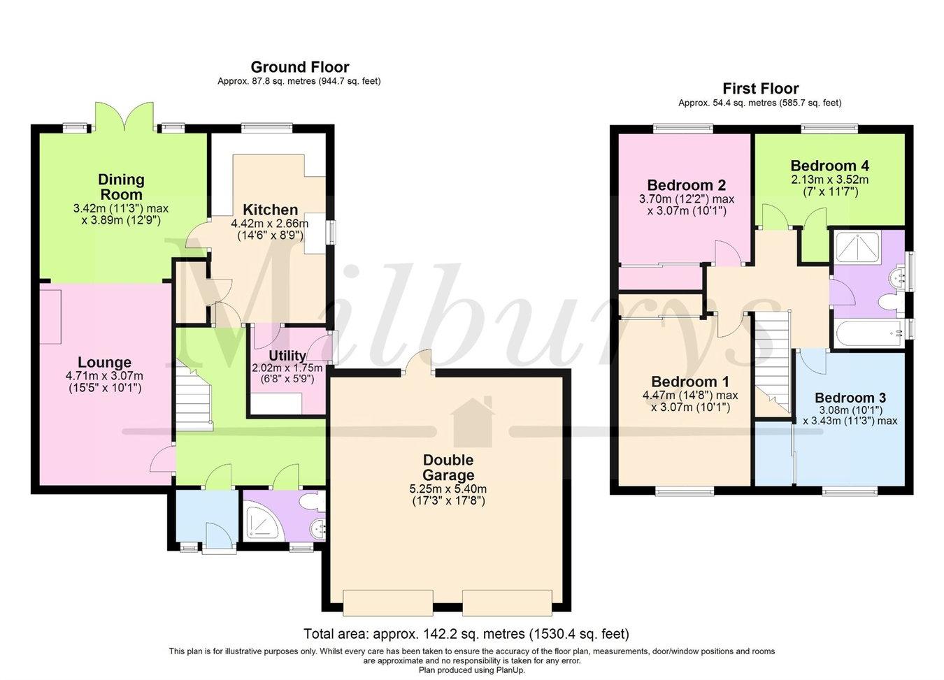
Floorplan 1
EPC Graphs
EPC 1
Price history
350% since 1997
| Event | Date | Price | % change |
|---|---|---|---|
| Sold | 23/09/2022 (3 years ago) | £540,000 | +350.2% |
| Sold | 07/08/1997 (28 years ago) | £119,950 | — |
Source: HM Land Registry Price Paid Data. Crown copyright.
Sold Comparables
Same street and nearby sales within 0.25 miles (last 5 years). Data from Land Registry Price Paid.
| Address | Price | Date | Type |
|---|---|---|---|
| 9 LATTERIDGE ROAD, IRON ACTON, BRISTOL, SOUTH GLOUCESTERSHIRE, BS37 9TJ | £680,000 | 14/11/2025 | Detached |
| Same street ELTON COTTAGE THE GREEN, IRON ACTON, BRISTOL, SOUTH GLOUCESTERSHIRE, BS37 9TQ | £490,000 | 06/12/2024 | Detached |
| THE COACH HOUSE HIGH STREET, IRON ACTON, BRISTOL, SOUTH GLOUCESTERSHIRE, BS37 9UQ | £1,200,000 | 30/11/2023 | Detached |
Street average: £490,000 (1 sale)
Area average: £940,000 (2 sales)
Capital growth trend
Land Registry outcode average: last 12 months vs 5y and 10y ago (from sold prices).
House Price Index (HM Land Registry — official index, not sold-price averages): South Gloucestershire. Series: Detached. As of March 2026.
Rental Range
Estimated market rent for South Gloucestershire. Low = conservative, Realistic = average, Optimistic = best case.
Based on Local Authority from postcode lookup → South Gloucestershire.
LHA (30th percentile) floor for Gloucester: £1,197/mo (Apr 2025 – Mar 2026)
Location
Address
Latteridge Road
Nearby
Nearest stations, universities and amenities (distance from property).
| Type | Name | Distance |
|---|---|---|
| Bus stop | The White Hart | 0.1 miles |
| Shop | Iron Acton Garden Centre | 0.3 miles |
| Shop | Frome Valley Village Shop | 1.2 miles |
| Train station | Yate | 1.7 miles |
| Hospital | Emersons Green NHS Treatment Centre | 3.4 miles |
| Train station | Bristol Parkway | 4.2 miles |
| Hospital | Frenchay Brain Injury Rehabilitation Centre | 4.4 miles |
| University | School of Architecture and Environment | 4.9 miles |
| University | University of the West of England (Frenchay Campus) | 5.0 miles |
Street-level crime
| Category | Count |
|---|---|
| Total incidents | 0 |
Within 1 mile during Apr 2026. Source: data.police.uk (England & Wales).
Schools nearby
Nearest open schools with Ofsted ratings (England). Closed schools are not shown. Data from Get Information about Schools and Ofsted.
| Name | Type | Distance | Ofsted |
|---|---|---|---|
| Iron Acton Church of England Primary School | Primary | 0.3 miles | Good — 7 Feb 2014 |
| North Road Community Primary School | Primary | 1.4 miles | Good — 4 Dec 2022 |
| Watermore Primary School | Primary | 1.4 miles | Good — 25 Mar 2024 |
| Vinney Green Secure Unit | Other | 1.4 miles | — (No rating) |
| Frampton Cotterell Church of England Primary School | Primary | 1.4 miles | Good — 3 Jul 2012 |
Rental Comparables
Loading rental comparables for this postcode. Refresh in a few minutes.
Rent-driven metrics
Based on Area rent estimate.
- Rent ratio — Monthly rent ÷ purchase price (1% rule). 1%+ = strong, 0.8–1% = okay, <0.8% = weak for cashflow.
- Max investor price — Rent ÷ 0.8%; the price at which rent would be 0.8% of price (Stoke-style target).
- Target investor price — Rent ÷ 1%; the price at which rent would be 1% of price (strong cashflow band).
- Gross yield — Annual rent as % of purchase price (no costs).
Enter House Number
Enter the house number to help us retrieve more accurate pricing history and property data.
Please log in to submit or correct the house number for this listing.
Log in to continue