29 JEFFCOCK ROAD
WOLVERHAMPTON, WEST MIDLANDS WV3 7AG
£825 pcm
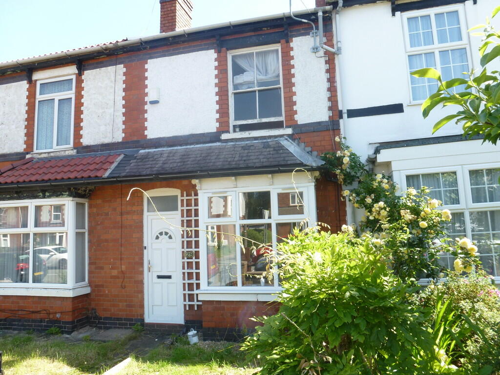
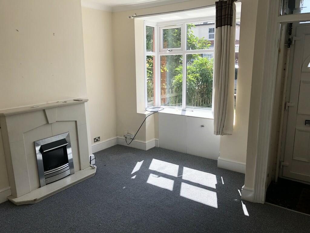
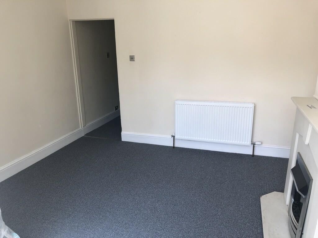
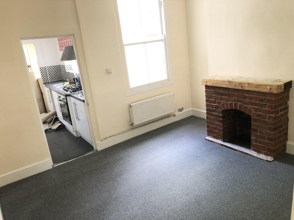
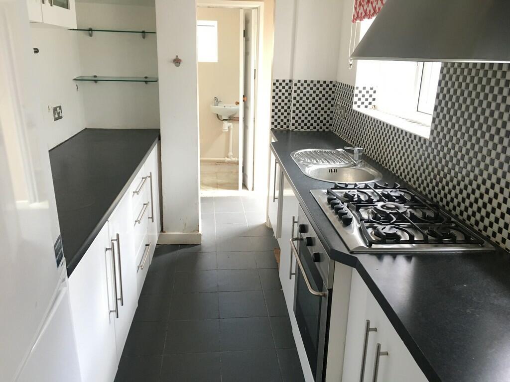
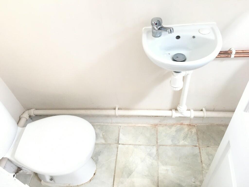
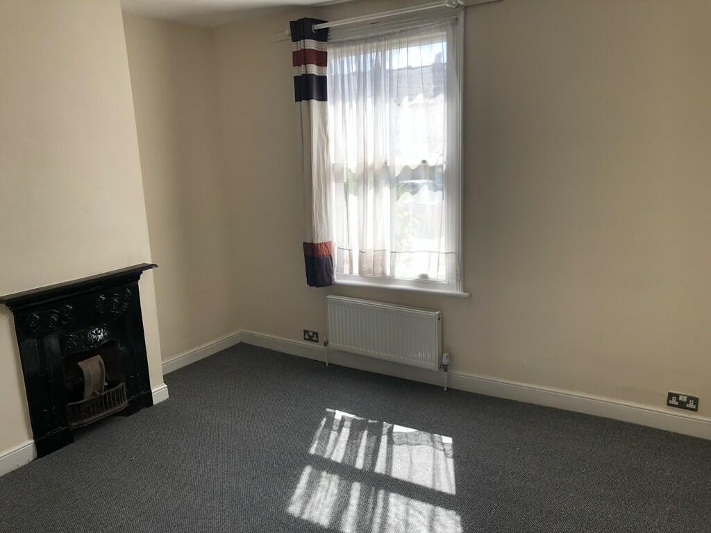
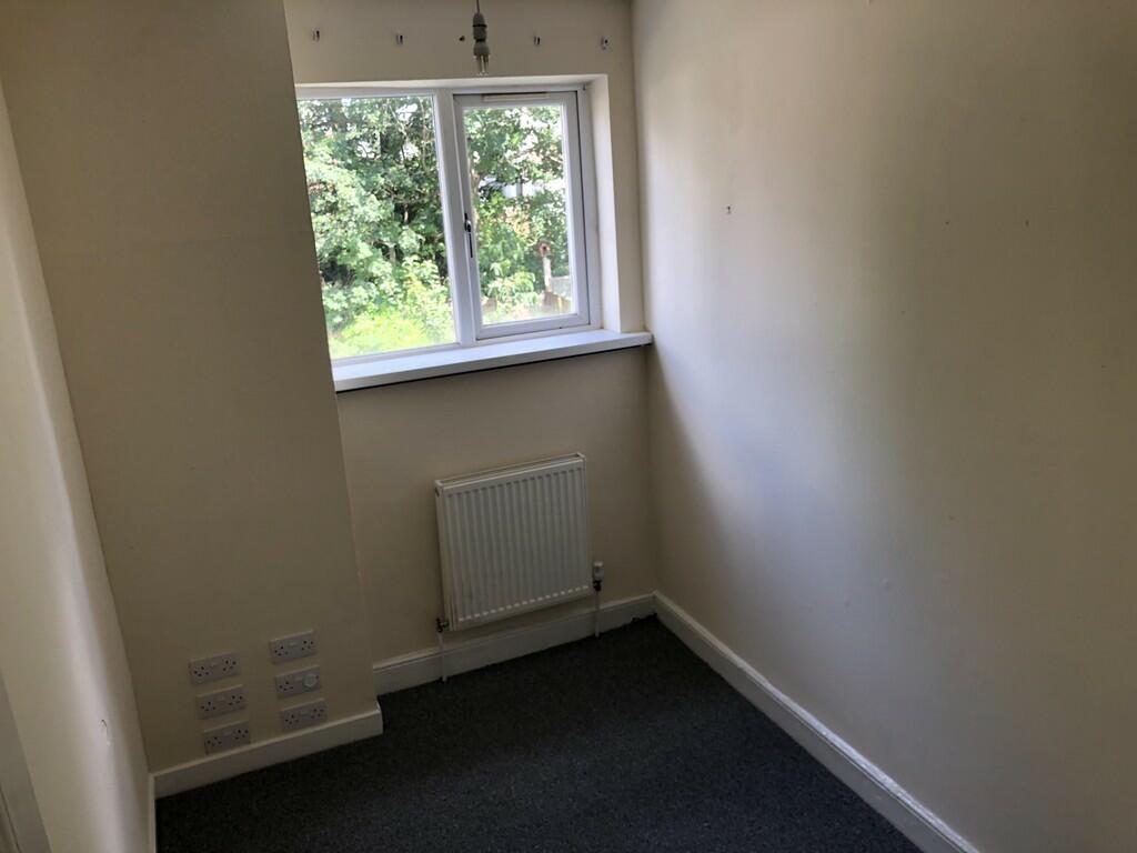
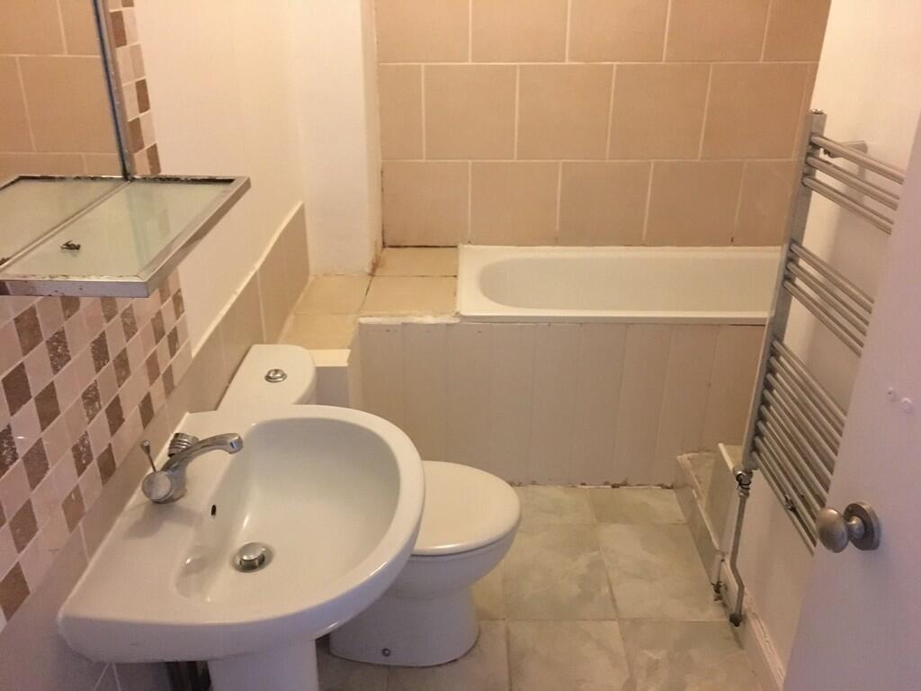
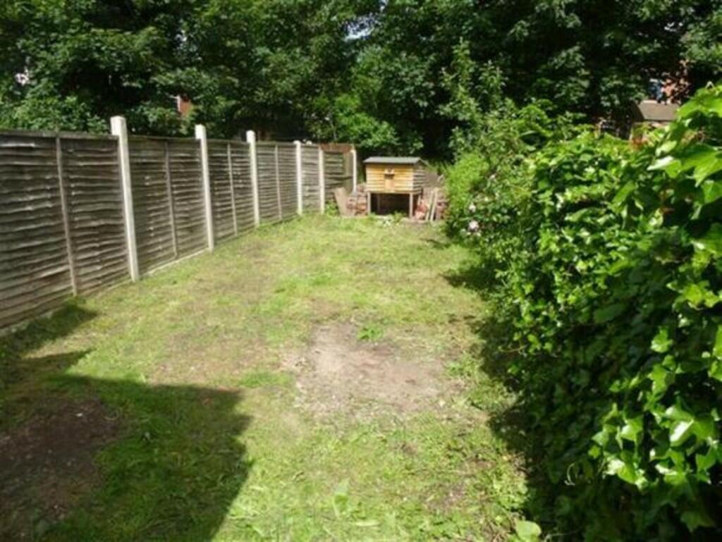
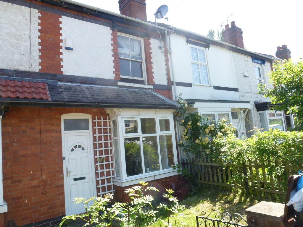
Photo 1 Photo 2 Photo 3 Photo 4 Photo 5 Photo 6 Photo 7 Photo 8 Photo 9 Photo 10 Photo 11 Photo 12
/ 12
Property details
Floor area
114 m²
Year built
England and Wales: 1900-1929
Deprivation
Decile 2 (3,579 of 33,755)
Street crime
311 incidents within 1 mile (Apr 2026)
Key features
- Three Bedroom House
- Two Reception Rooms
- Convenient Location
- Gas Central Heating
- On Road Parking
- Council Tax Band A
- Must See
Additional details
- Parking
- On street
- Garden
- Yes
Description
Listed by
Wolverhampton
Leighton Paul Property Limited
Reference: 134902403
EPC Rating & Upgrade Cost
Fetching EPC data… Refresh this page in a moment.
Flood risk
Zone: 2
Risk: In flood risk area
Environment Agency Flood Risk Areas (APSFR)
EPC Graphs
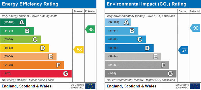
EPC 1
Rental Range
Estimated market rent for Wolverhampton. Low = conservative, Realistic = average, Optimistic = best case.
Based on Local Authority from postcode lookup → Wolverhampton.
LHA (30th percentile) floor for Black Country: £748/mo (Apr 2025 – Mar 2026)
Location
Nearby
Nearest stations, universities and amenities (distance from property).
| Type | Name | Distance |
|---|---|---|
| Shop | Wolves Mini Market | 0.1 miles |
| Shop | Jeffock News | 0.1 miles |
| Bus stop | Rayleigh Rd / Bamford Rd | 0.1 miles |
| Hospital | West Park Hospital | 0.9 miles |
| University | University of Wolverhampton Wulfruna Campus | 1.2 miles |
| Hospital | Compton Hospice | 1.2 miles |
| University | University of Wolverhampton | 1.3 miles |
| Train station | Wolverhampton | 1.4 miles |
| Train station | Coseley | 3.3 miles |
Street-level crime
| Category | Count |
|---|---|
| Violence and sexual offences | 135 |
| Shoplifting | 44 |
| Criminal damage and arson | 27 |
| Vehicle crime | 21 |
| Other theft | 19 |
| Burglary | 13 |
| Public order | 12 |
| Anti-social behaviour | 10 |
| Drugs | 10 |
| Robbery | 7 |
| Other crime | 5 |
| Possession of weapons | 5 |
| Theft from the person | 2 |
| Bicycle theft | 1 |
| Total incidents | 311 |
Within 1 mile during Apr 2026. Source: data.police.uk (England & Wales).
Schools nearby
Nearest open schools with Ofsted ratings (England). Closed schools are not shown. Data from Get Information about Schools and Ofsted.
| Name | Type | Distance | Ofsted |
|---|---|---|---|
| Bantock Primary School | Primary | 0.2 miles | Good — 15 Jan 2023 |
| Merridale Primary School | Primary | 0.4 miles | Good — 3 Apr 2014 |
| The Royal School, Wolverhampton | Other | 0.5 miles | Good — 18 Sep 2019 |
| Woodfield Primary School | Primary | 0.5 miles | Outstanding — 17 Mar 2024 |
| Nishkam Primary School Wolverhampton | Primary | 0.6 miles | Good — 8 Mar 2020 |
Rental Comparables
Rental comparables are temporarily unavailable while listing-site fetches are paused. Try again later.