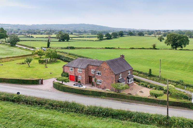
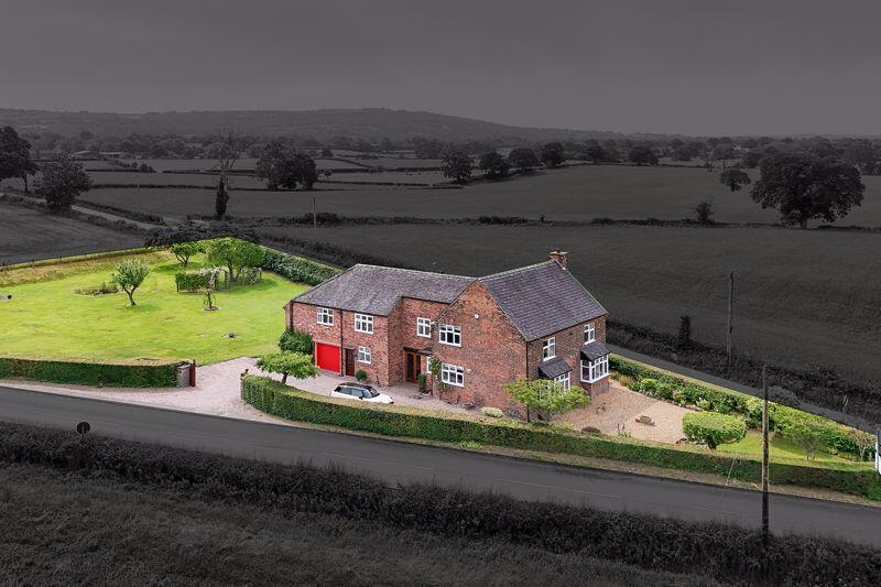
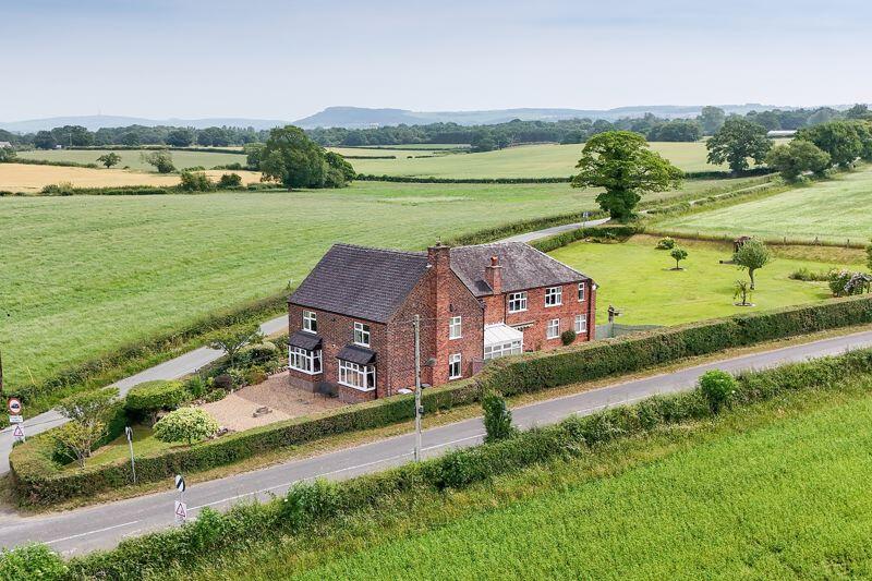
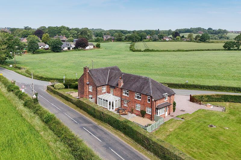
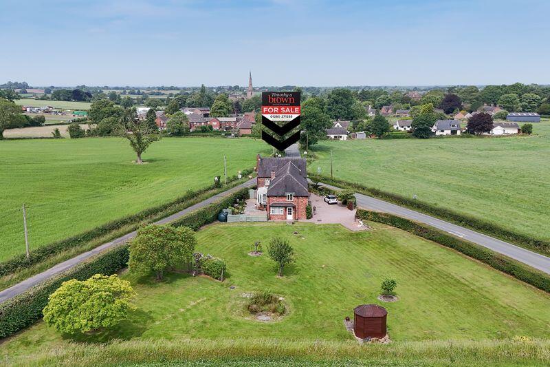
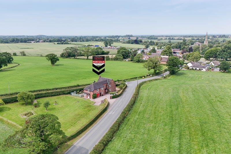
Dodds Lane
Astbury, Congleton, CW12 4RH
£900,000
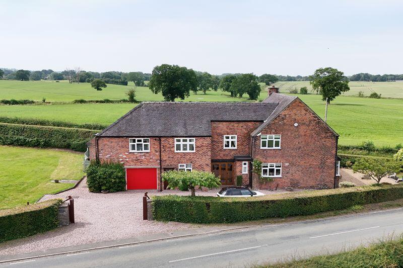
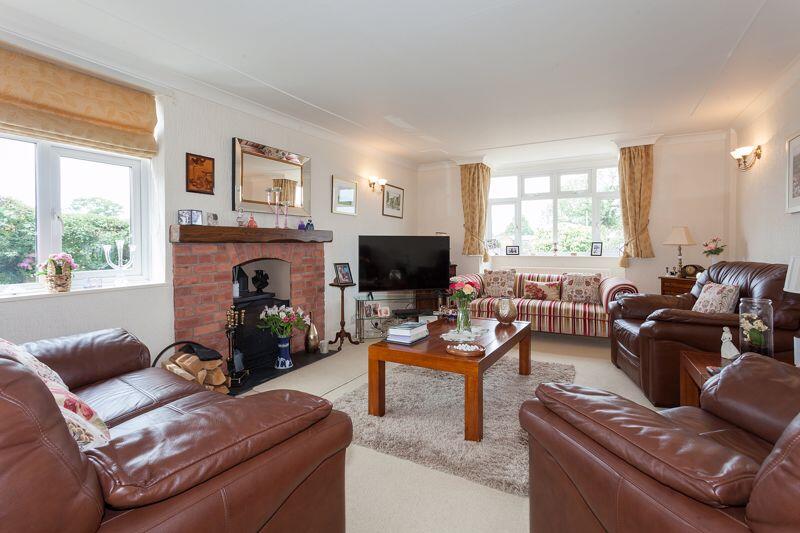
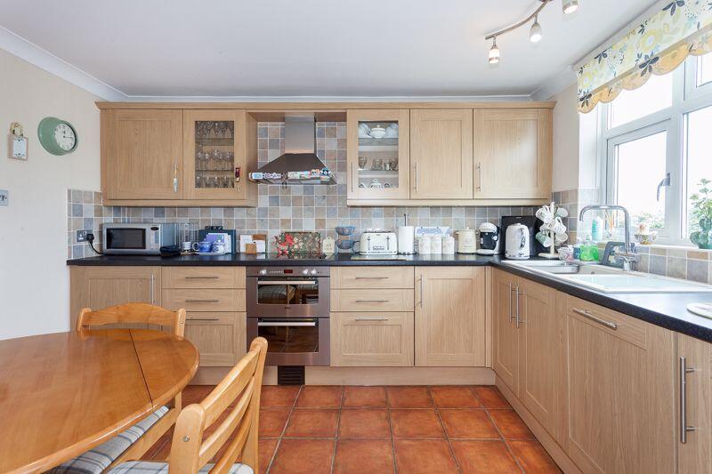
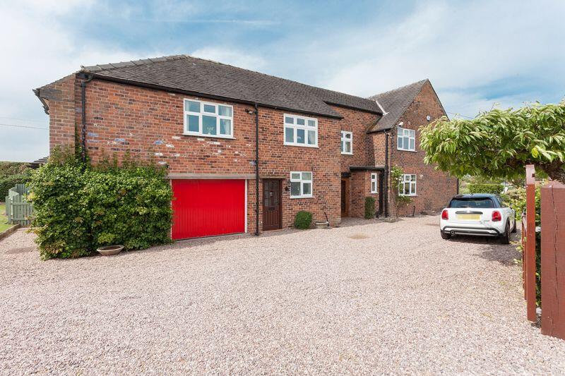
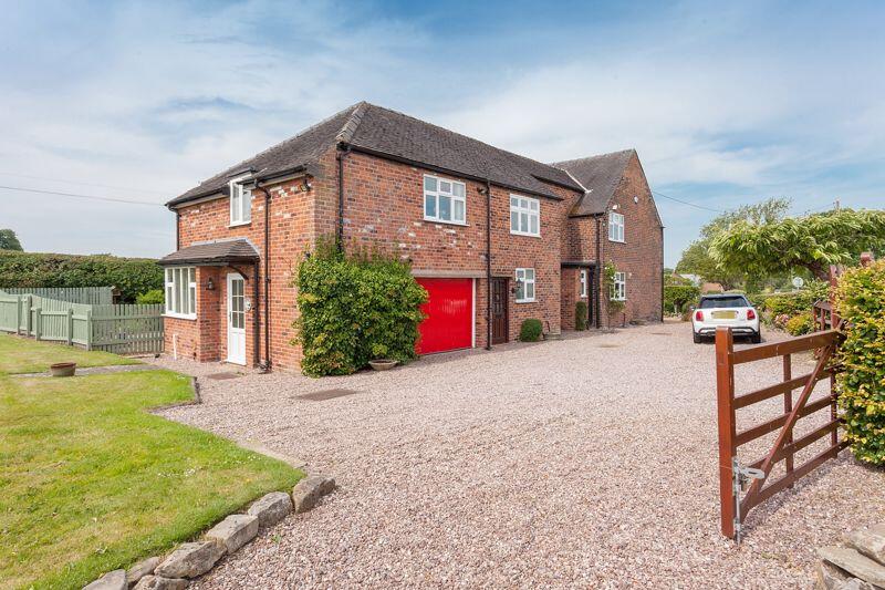
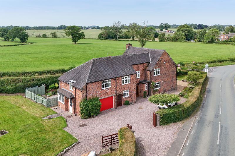
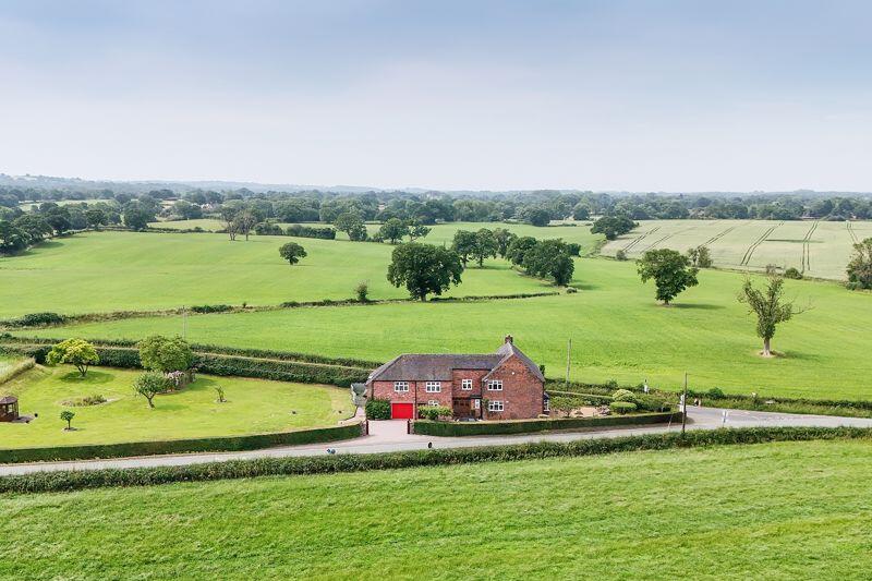
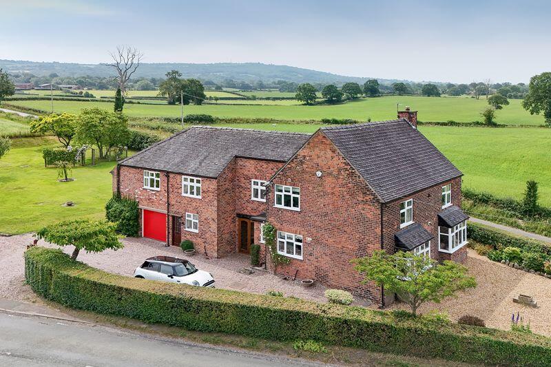
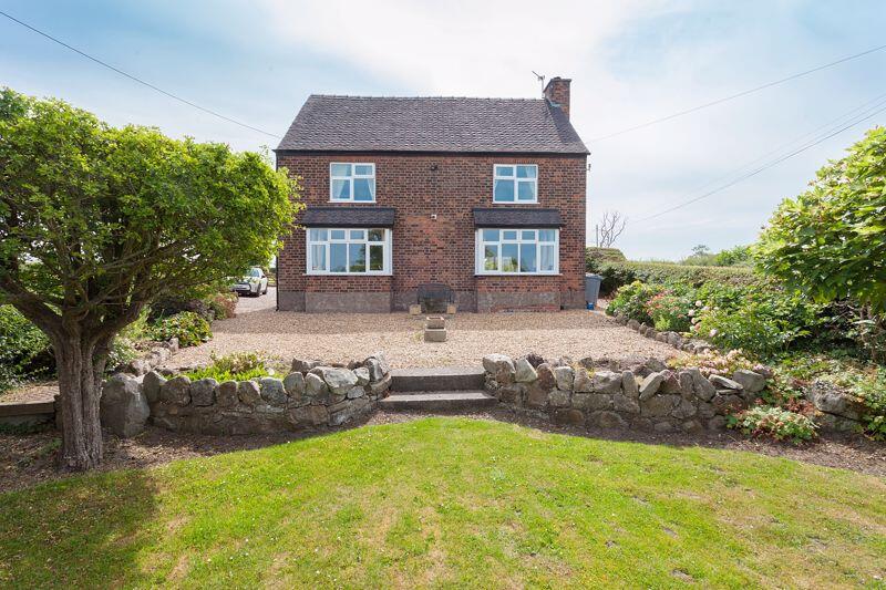
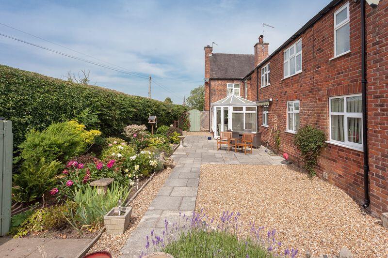
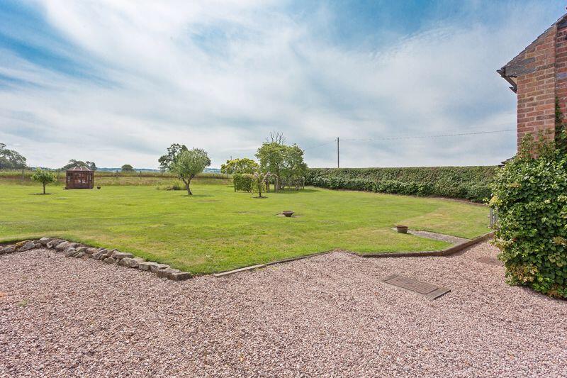
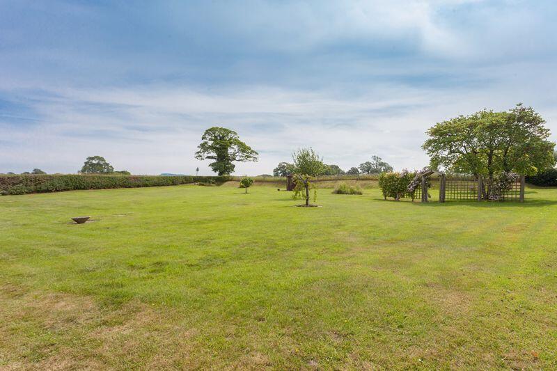
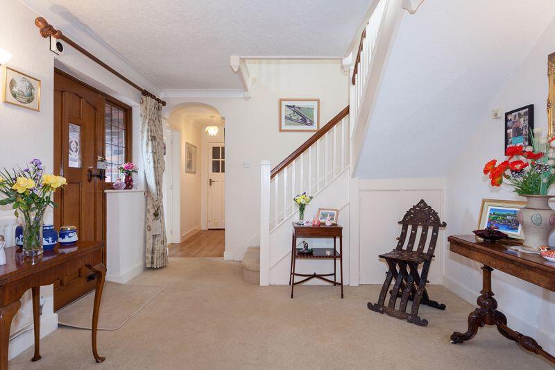
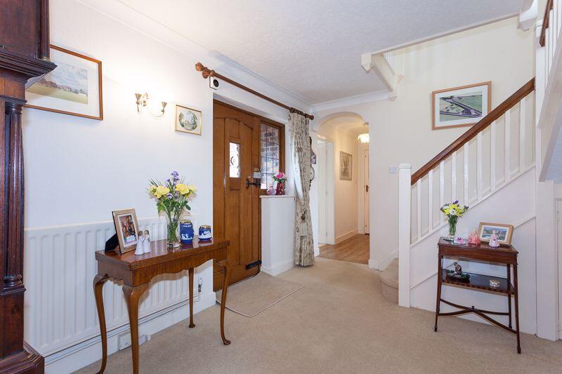
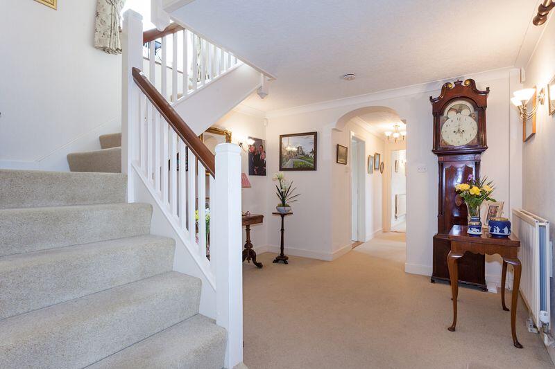
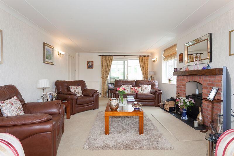
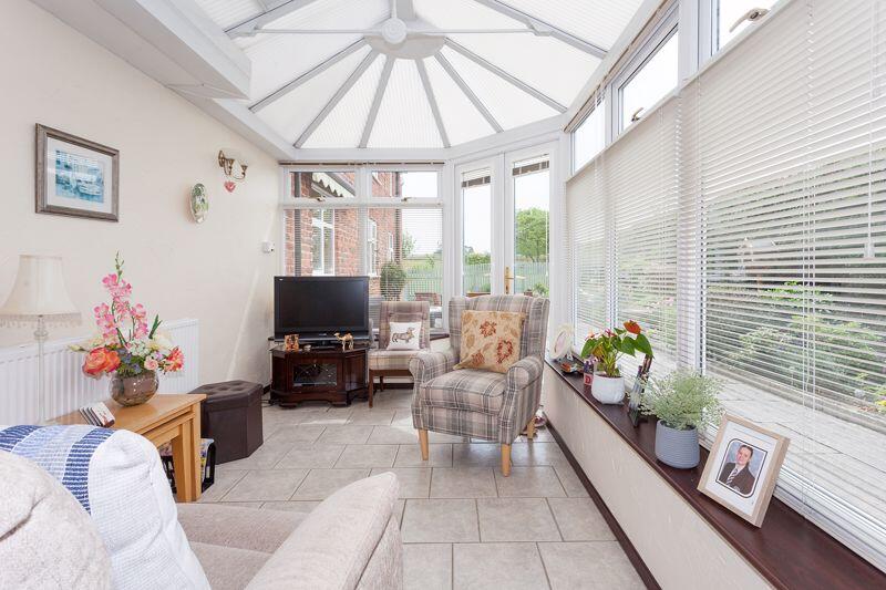
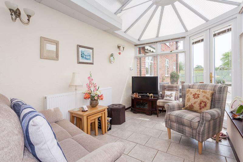
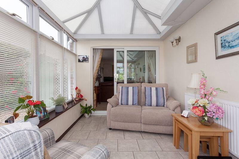
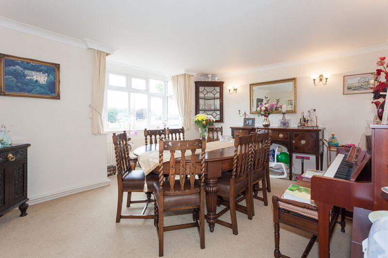
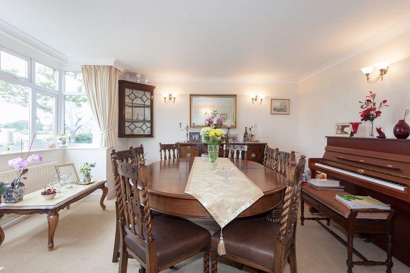
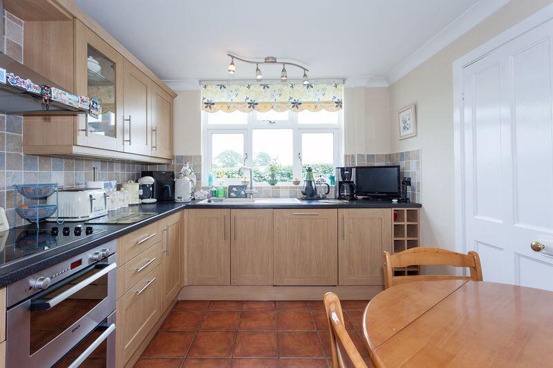
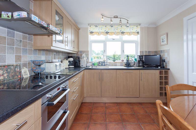
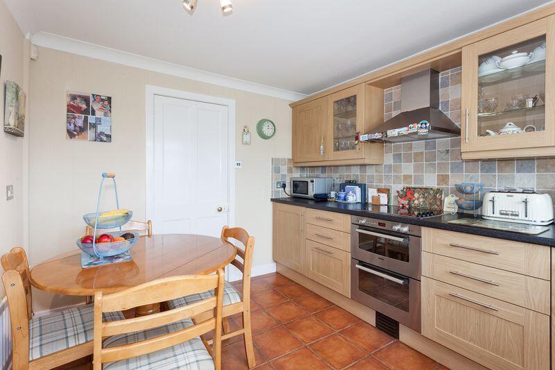
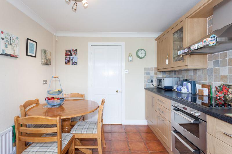
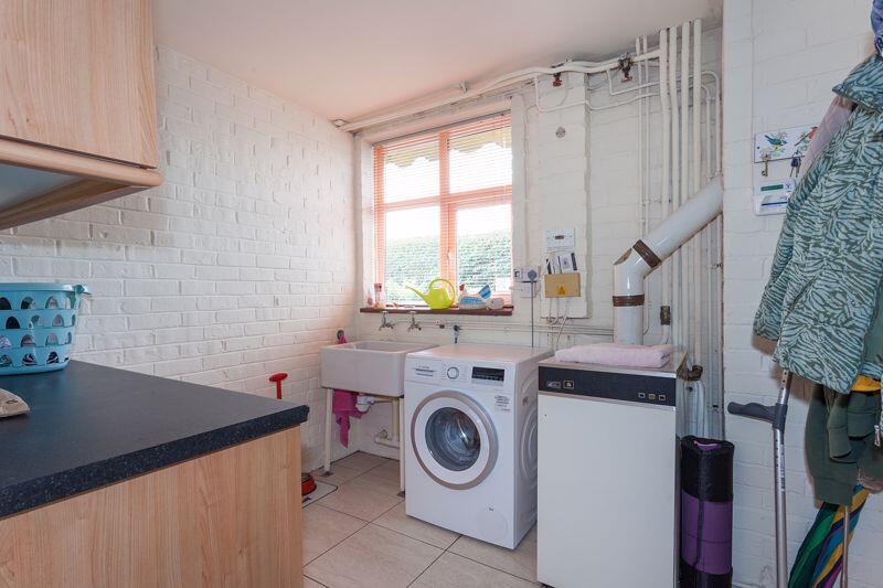
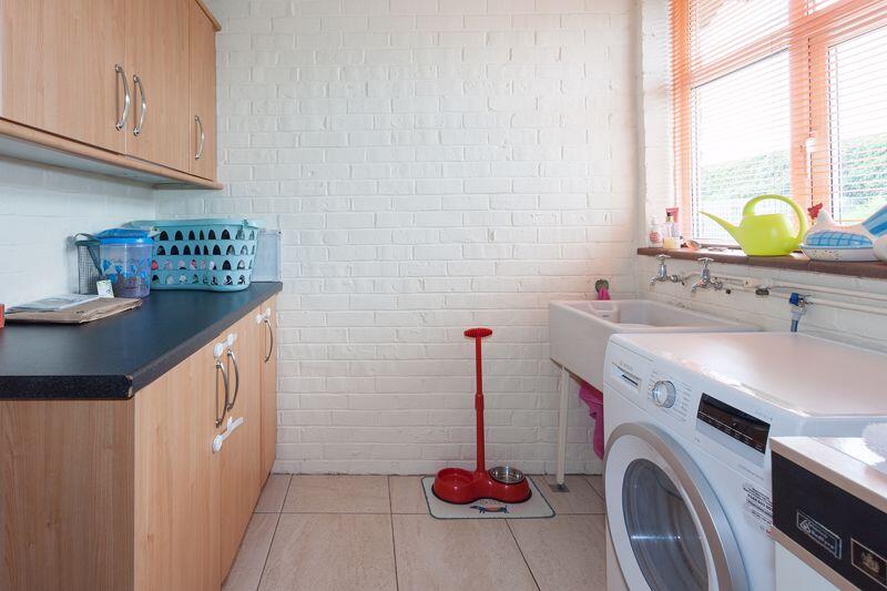
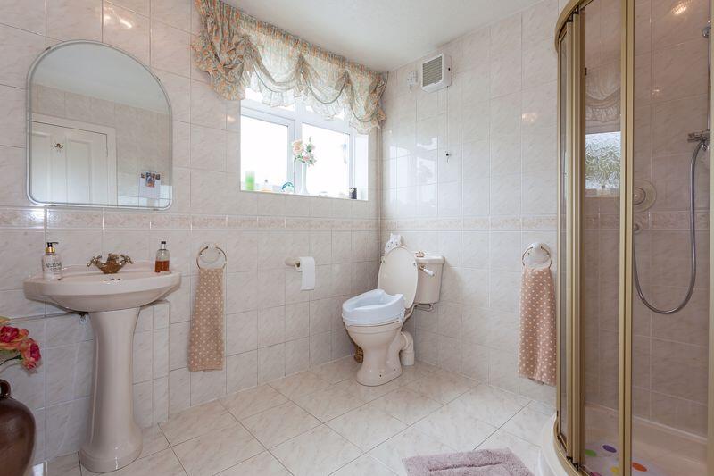
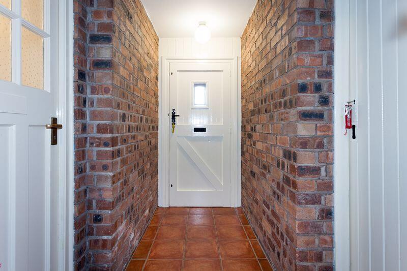
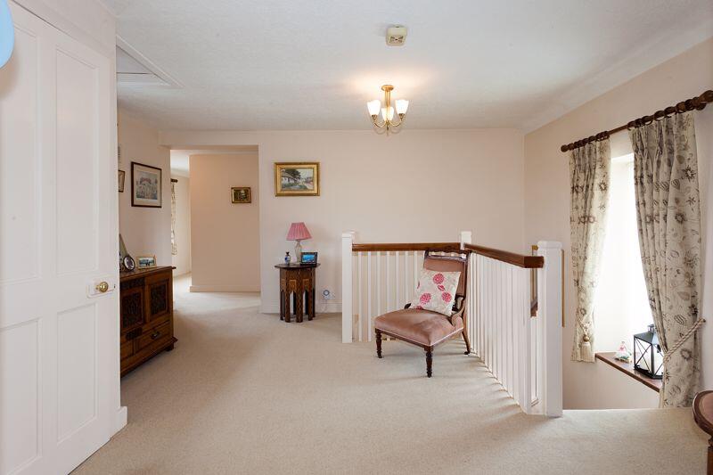

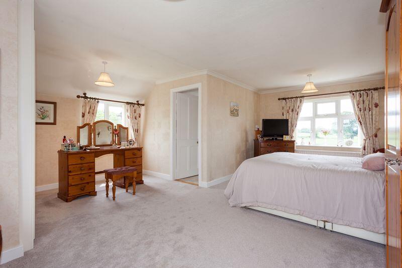
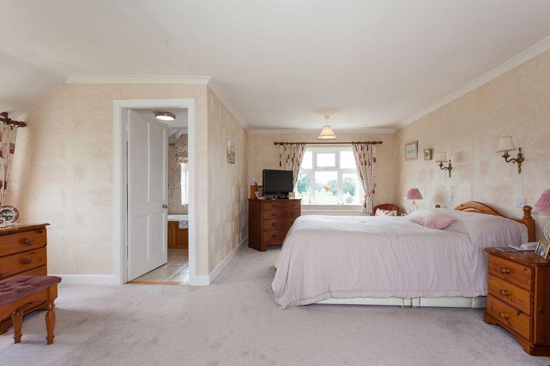
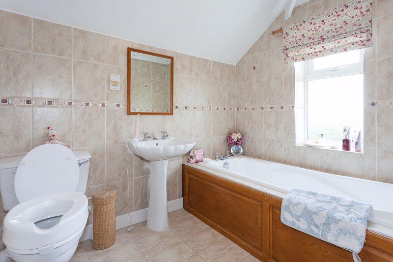
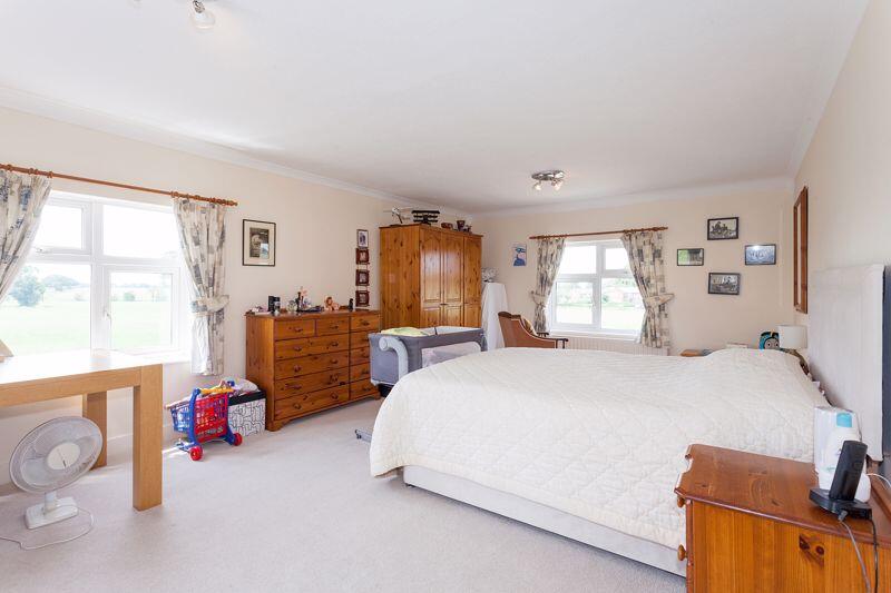
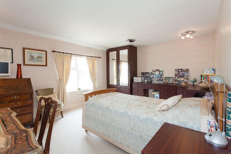
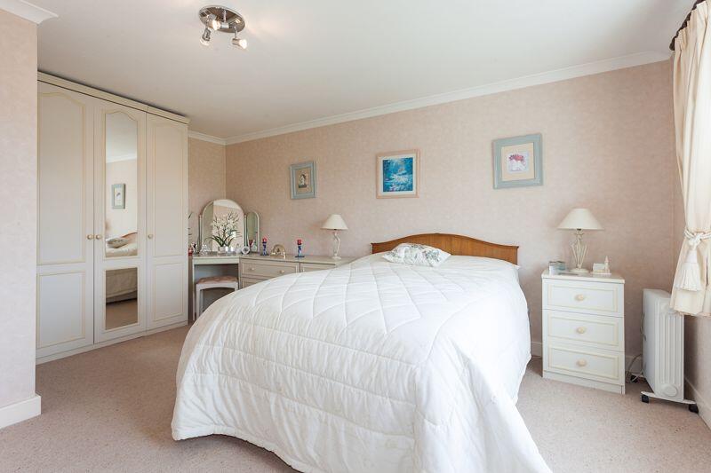
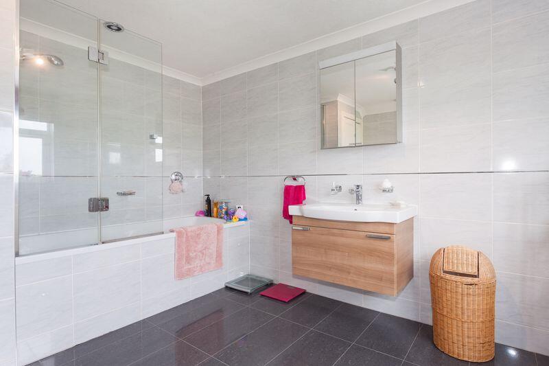
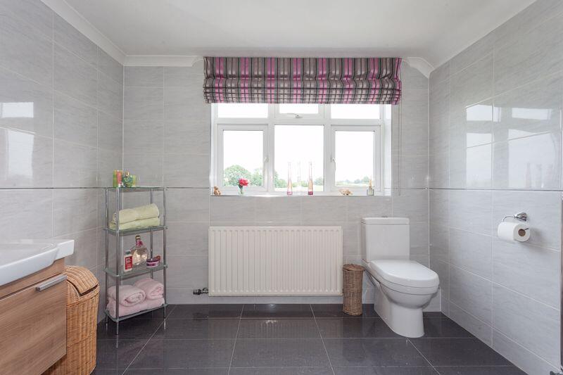
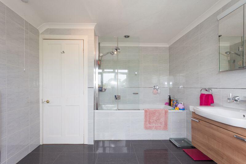
FRONT LOUNGE BREAKFAST KITCHEN FRONT FRONT ELEVATED FRONT ELEVATED FRONT ELEVATED FRONT ELEVATED FRONT ELEVATED FRONT PLOT ELEVATED SIDE ELEVATED REAR ELEVATED SIDE ELEVATED SIDE FRONT DRIVEWAY FRONT DRIVE & GARDEN SIDE GARDEN REAR GARDEN SIDE GARDENS SIDE GARDENS SIDE GARDENS RECEPTION HALL RECEPTION HALL RECEPTION HALL LOUNGE CONSERVATORY CONSERVATORY CONSERVATORY DINING ROOM DINING ROOM BREAKFAST KITCHEN BREAKFAST KITCHEN BREAKFAST KITCHEN BREAKFAST KITCHEN UTILITY UTILITY SHOWER ROOM REAR PORCH FIRST FLOOR LANDING FIRST FLOOR LANDING BEDROOM 1 BEDROOM 1 EN-SUITE BATHROOM BEDROOM 2 BEDROOM 3 BEDROOM 4 BATHROOM BATHROOM BATHROOM
/ 49
Property details
Tenure
FREEHOLD
Council tax band
G
Local average
£425,679 (+111.4%)
Street crime
7 incidents within 1 mile (May 2026)
Key features
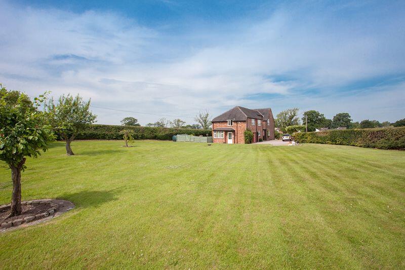
- TRADITIONAL CHESHIRE COUNTRY HOUSE
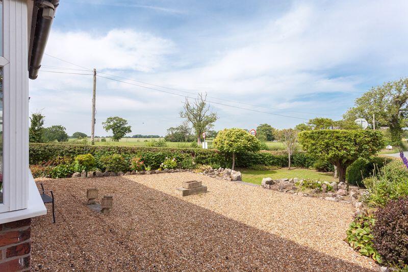
- APPROX. 0.65 ACRE OF MATURE GARDENS
- HIGHLY SOUGHT-AFTER ASTBURY VILLAGE
- FOUR GENEROUS BEDROOMS
- FEATURE WOOD-BURNING STOVE
- VERSATILE LIVING WITH CONSERVATORY
- EXCELLENT LOCAL SCHOOL, PUB & GOLF CLUB
- EASY ACCESS TO CONGLETON & A34
Additional details
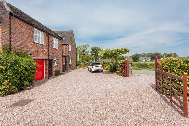
- Parking
- Yes
- Garden
- Yes
Description
Listed by
Congleton
Timothy A Brown Ltd
Reference: 172881521
EPC ratings on this postcode
We don't have a matched EPC for this property yet. Below are efficiency scores and details for other addresses on this postcode.
| Address | Current | Potential | Floor area | Age band | Type |
|---|---|---|---|---|---|
| Bank Farm, Dodds Lane, Astbury | 67 | 80 | 309 m² | England and Wales: 2012 onwards | House |
| Bank Farm, Dodds Lane, Astbury, CONGLETON | 67 | 80 | 309 m² | England and Wales: 2012 onwards | Detached |
| Styeheath, Dodds Lane, Astbury, CONGLETON | 39 | 79 | 271 m² | England and Wales: before 1900 | Detached |
Flood risk
Zone: 1
Risk: Low
Job (default Low)
Floorplans
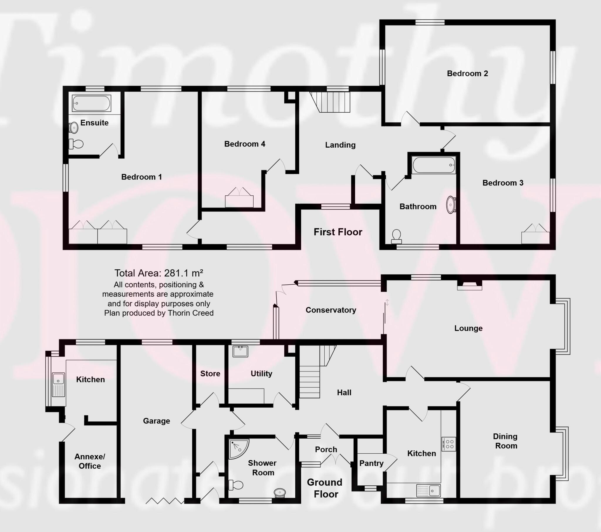
Floorplan 1
EPC Graphs
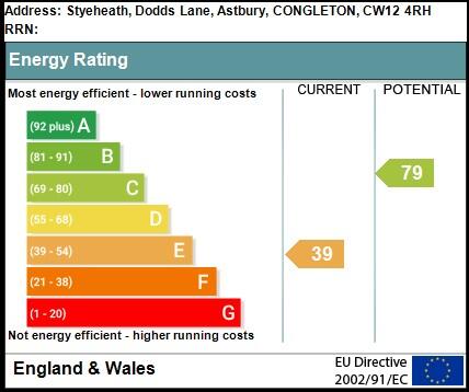
EPC Link

Energy Performance Certificate
Price history
| Event | Date | Price | % change |
|---|---|---|---|
| Listed for sale | — | £900,000 | — |
Source: HM Land Registry Price Paid Data. Crown copyright.
Sold Comparables
Sold comparables data is not available for this property.
Capital growth trend
Land Registry outcode average: last 12 months vs 5y and 10y ago (from sold prices).
House Price Index (HM Land Registry — official index, not sold-price averages): Cheshire East. Series: Detached. As of April 2026.
Rental Range
Estimated market rent for Cheshire East. Low = conservative, Realistic = average, Optimistic = best case.
Based on Local Authority from postcode lookup → Cheshire East.
LHA (30th percentile) floor for Oldham & Rochdale: £947/mo (Apr 2025 – Mar 2026)
Location
Address
Dodds Lane
Nearby
Nearest stations, universities and amenities (distance from property).
| Type | Name | Distance |
|---|---|---|
| Bus stop | Astbury, School Lane / Primary School | 0.5 miles |
| Shop | Astbury Garage | 0.6 miles |
| Bus stop | Astbury, Newcastle Road / Garage | 0.6 miles |
| Shop | Fol Hollow Nurseries | 0.7 miles |
| Hospital | Congleton War Memorial Hospital | 1.1 miles |
| Train station | Congleton | 1.4 miles |
| Train station | Kidsgrove | 4.2 miles |
| Hospital | John Munroe Hospital | 5.9 miles |
| University | Buxton & Leek College | 8.6 miles |
| University | Tovell Building, Buxton & Leek College | 8.6 miles |
Street-level crime
| Category | Count |
|---|---|
| Violence and sexual offences | 6 |
| Public order | 1 |
| Total incidents | 7 |
Within 1 mile during May 2026. Source: data.police.uk (England & Wales).
Schools nearby
Nearest open schools with Ofsted ratings (England). Closed schools are not shown. Data from Get Information about Schools and Ofsted.
| Name | Type | Distance | Ofsted |
|---|---|---|---|
| Astbury St Mary's CofE Primary School | Primary | 0.5 miles | Good — 3 May 2023 |
| Marlfields Primary School | Primary | 1.0 miles | Requires improvement — 7 May 2024 |
| Aidenswood School | Other | 1.1 miles | Good — 24 Apr 2024 |
| Daven Primary School | Primary | 1.2 miles | Requires improvement — 8 Nov 2023 |
| The Quinta Primary School | Primary | 1.4 miles | Good — 12 Sep 2023 |
Rental Comparables
Residential lets from OpenRent and Rightmove for the area (same bedroom count). Use to validate rent estimates. Student lets are excluded.
| Title | Rent | Beds | Distance | As seen on |
|---|---|---|---|---|
| Quayside, Congleton, CW12 | £1,600/mo | 4 | 1.04 miles | Rightmove |
| Elmwood Drive, Congleton | £1,900/mo | 4 | 1.29 miles | Rightmove |
| Dane Street, Congleton, CW12 | £1,400/mo | 4 | 1.35 miles | Rightmove |
| Back Lane, Congleton, CW12 | £1,695/mo | 4 | 1.53 miles | Rightmove |
| Loachbrook Farm Way, Somerford, Congleton CW12 4BF | £1,500/mo | 4 | 1.88 miles | Rightmove |
| Walfield Avenue, Congleton, CW12 | £2,200/mo | 4 | 2.05 miles | Rightmove |
| Chelford Road, Somerford, CW12 | £2,995/mo | 4 | 2.45 miles | Rightmove |
Average rent: £1,899/mo (7 listings)
Rent-driven metrics
Based on OpenRent comparables.
- Rent ratio — Monthly rent ÷ purchase price (1% rule). 1%+ = strong, 0.8–1% = okay, <0.8% = weak for cashflow.
- Max investor price — Rent ÷ 0.8%; the price at which rent would be 0.8% of price (Stoke-style target).
- Target investor price — Rent ÷ 1%; the price at which rent would be 1% of price (strong cashflow band).
- Gross yield — Annual rent as % of purchase price (no costs).
- Cost-to-rent — Price ÷ annual rent (from OpenRent comparables). Under 14× = strong, 14–16× = acceptable, 17×+ = compressed.
- Cashflow — Rent minus mortgage, 10% maintenance, £25/mo compliance. Assumes 75% LTV, 3.95% APR (5yr fixed), 25yr term.
- ROI — Annual profit ÷ cash in (deposit + 4% purchase costs).
Enter House Number
Enter the house number to help us retrieve more accurate pricing history and property data.
Please log in to submit or correct the house number for this listing.
Log in to continue