13 MALLARD DRIVE
MARKET RASEN, CAISTOR, LINCOLNSHIRE LN7 6SA
£850 pcm
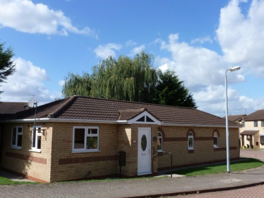
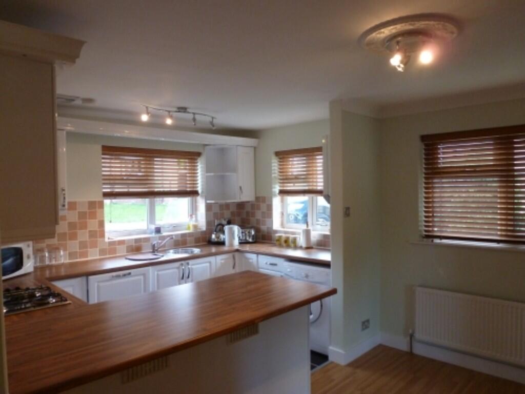
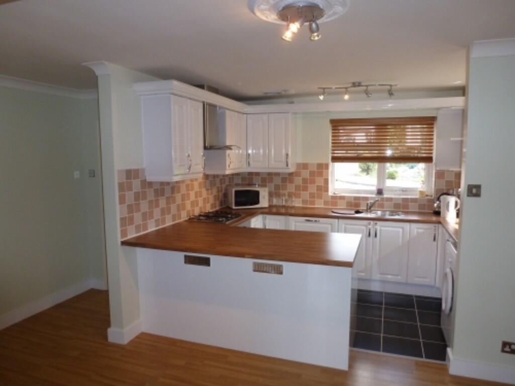
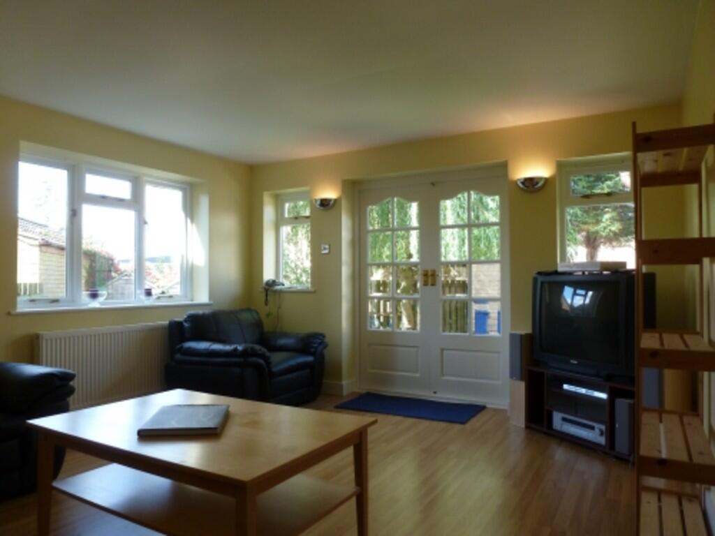
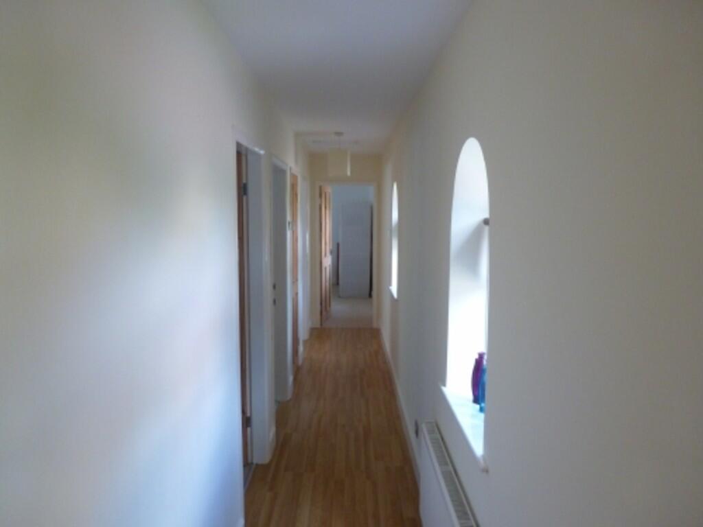
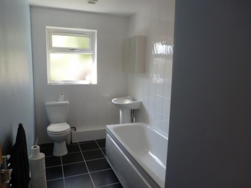
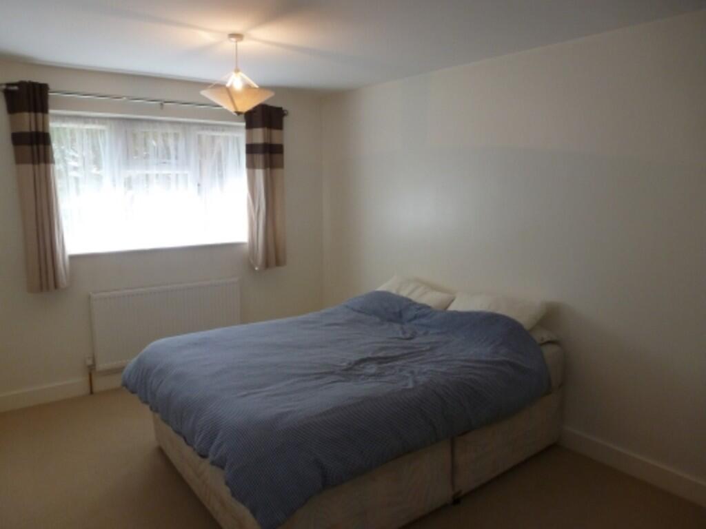
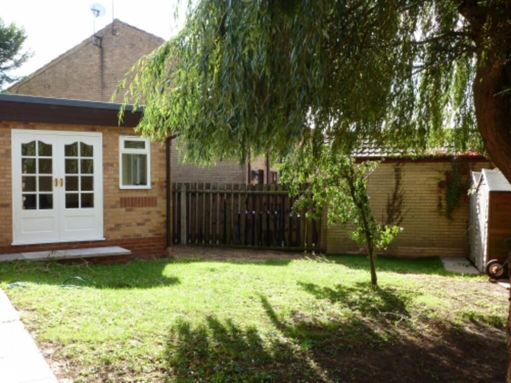
Photo 1 Photo 2 Photo 3 Photo 4 Photo 5 Photo 6 Photo 7 Photo 8
/ 8
Property details
Floor area
87 m²
Council tax band
C
Deprivation
Decile 8 (23,822 of 33,755)
Street crime
24 incidents within 1 mile (Aug 2026)
Key features
- Detached modern bungalow
- Three bedrooms
- Modern fitted kitchen with integrated appliances and breakfast seating
- Driveway leading to gardens
- Modern bathroom
- Reception room with doors to the garden
Additional details
- Heating
- Gas central
- Parking
- Off street
- Garden
- Yes
Description
Listed by
Louth
Masons Chartered Surveyors
Reference: 94471344
Flood risk
Zone: 1
Risk: Low
Job (default Low)
Registered land (INSPIRE)
This location falls inside an HM Land Registry INSPIRE registered freehold polygon.
Plot: ~170 m² (0.04 acres)
Source: HM Land Registry INSPIRE Index Polygons.
FENSA Certificates
This property has 1 FENSA certificate(s) on record, indicating window/door installations by FENSA-approved installers.
FENSA Certificate #5823195
Property Details
Street: 13 Mallard Drive
Town: Caistor
Postcode: LN7 6SA
Installation Details
Items: 10 windows and 1 door
Certificate Issued: 07/07/2008
Work Completed: 17/06/2008
This certificate data was retrieved from FENSA's database
What is FENSA? FENSA (Fenestration Self-Assessment Scheme) is a government-authorised scheme that monitors building regulation compliance for replacement windows and doors. Certificates indicate that work was completed by FENSA-approved installers.
Rental Range
Estimated market rent for West Lindsey. Low = conservative, Realistic = average, Optimistic = best case.
Based on Local Authority from postcode lookup → West Lindsey.
LHA (30th percentile) floor for Grimsby: £520/mo (Apr 2025 – Mar 2026)
Location
Nearby
Nearest stations, universities and amenities (distance from property).
| Type | Name | Distance |
|---|---|---|
| Bus stop | Nettleton Road A46 | 0.4 miles |
| Shop | Spar | 0.5 miles |
| Shop | Lincolnshire Co-op Funeral Services | 0.5 miles |
| Train station | Barnetby | 6.3 miles |
| Train station | Brigg | 7.4 miles |
| University | University Centre Grimsby | 10.5 miles |
| University | University Centre (University of Hull) | 10.5 miles |
| Hospital | Harrison House | 11.1 miles |
| Hospital | St Hughs | 11.2 miles |
Street-level crime
| Category | Count |
|---|---|
| Violence and sexual offences | 11 |
| Anti-social behaviour | 5 |
| Burglary | 2 |
| Criminal damage and arson | 2 |
| Other theft | 2 |
| Public order | 1 |
| Vehicle crime | 1 |
| Total incidents | 24 |
Within 1 mile during Aug 2026. Source: data.police.uk (England & Wales).
Schools nearby
Nearest open schools with Ofsted ratings (England). Closed schools are not shown. Data from Get Information about Schools and Ofsted.
| Name | Type | Distance | Ofsted |
|---|---|---|---|
| Caistor Grammar School | Secondary | 0.4 miles | Good — 12 Jul 2022 |
| Caistor CofE and Methodist Primary School | Primary | 0.6 miles | Good — 29 Apr 2014 |
| Caistor Yarborough Academy | Secondary | 0.7 miles | Good — 12 Sep 2021 |
| Nettleton Community Primary School | Primary | 0.8 miles | Good — 5 Jun 2014 |
| Grasby All Saints Church of England Primary School | Primary | 2.6 miles | Good — 16 Oct 2013 |
Rental Comparables
Residential lets from OpenRent and Rightmove for the area (same bedroom count). Use to validate rent estimates. Student lets are excluded.
| Title | Rent | Beds | Distance | As seen on |
|---|---|---|---|---|
| Mallard Drive, Caistor LN7 6SA | £850/mo | 3 | 0 miles | Rightmove |
| Navigation Lane, Caistor, Market Rasen, LN7 | £1,100/mo | 3 | 0.26 miles | Rightmove |
| Varlows Yard, Caistor, LN7 | £995/mo | 3 | 0.44 miles | Rightmove |
| Risedale, Caistor | £875/mo | 3 | 0.48 miles | Rightmove |
| North Kelsey Road, Caistor, Market Rasen | £1,400/mo | 3 | 0.5 miles | Rightmove |
| Mill Lane, Caistor, LN7 | £995/mo | 3 | 0.68 miles | Rightmove |
Average rent: £1,036/mo (6 listings)