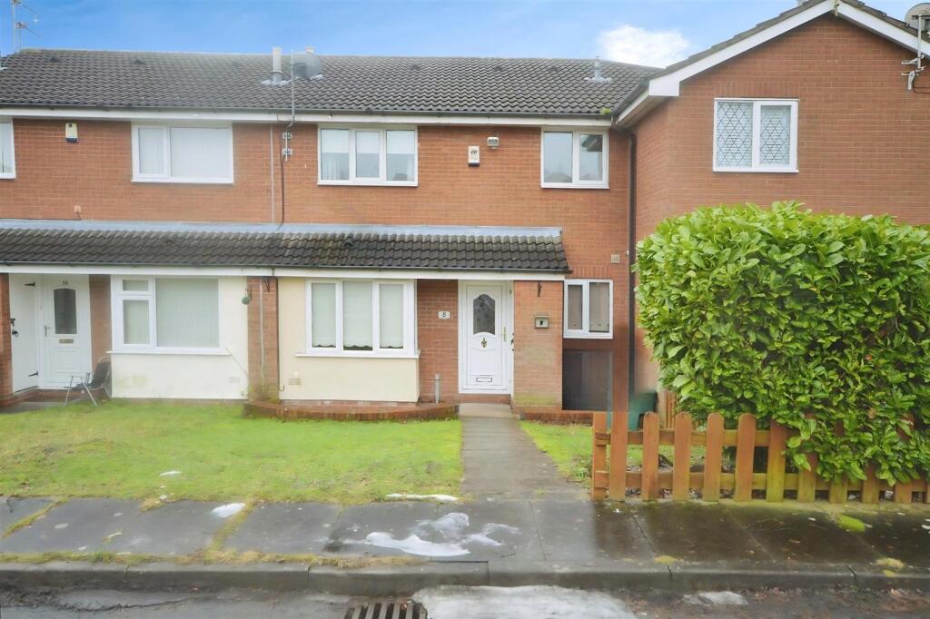
8 HASLINGTON CLOSE
NEWCASTLE, NEWCASTLE, STAFFORDSHIRE ST5 7TS
£725 pcm
user_edited_photo-2f5f9477_user-edited-0cece1d9-31 user_edited_photo-4c3bdd5a_user-edited-05a8a1ed-37 user_edited_photo-163d20ac_user-edited-43961974-1a user_edited_photo-7165ec53_user-edited-1e622b19-38 user_edited_photo-83279f28_user-edited-839a7039-96 user_edited_photo-a6dec3ef_user-edited-d02b07cf-b9 user_edited_photo-ecbd4d81_user-edited-3d55ef6c-33 1330367d-garden.jpg
/ 8
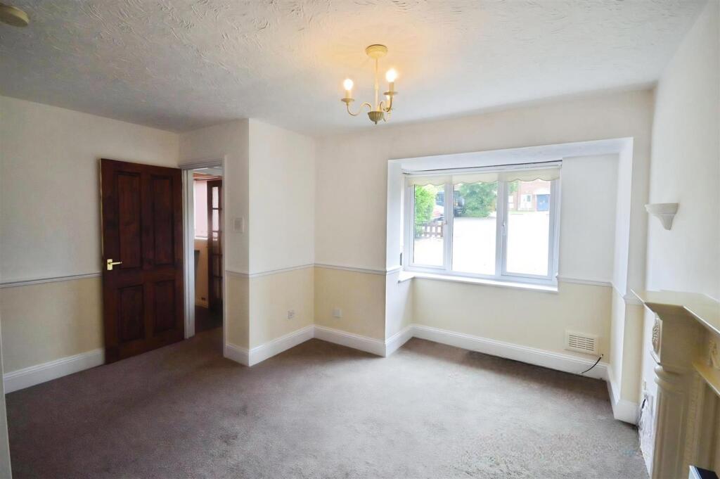
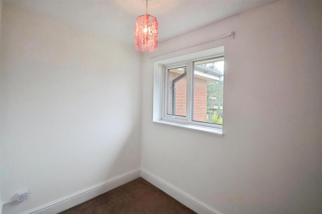
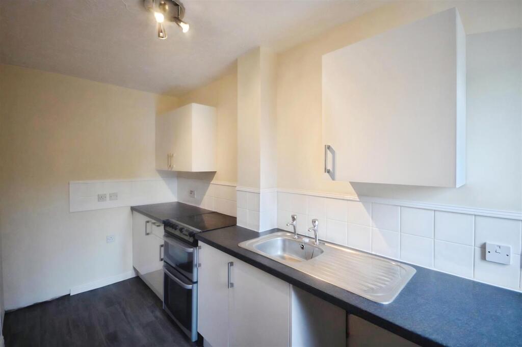
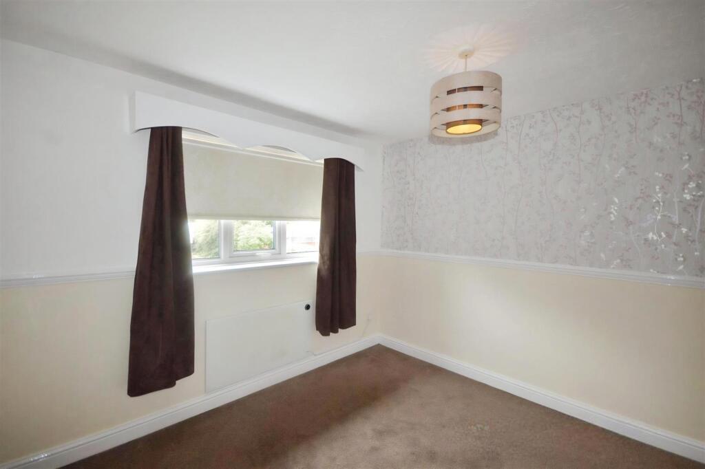
Property details
Floor area
48 m²
Deprivation
Decile 2 (4,910 of 33,755)
Street crime
100 incidents within 1 mile (Apr 2026)
Key features
- Excellent Starter Home
- Two bedrooms
- Allocated parking
- Quiet location
- Close to Newcastle & A34/A500
Additional details
- Parking
- Yes
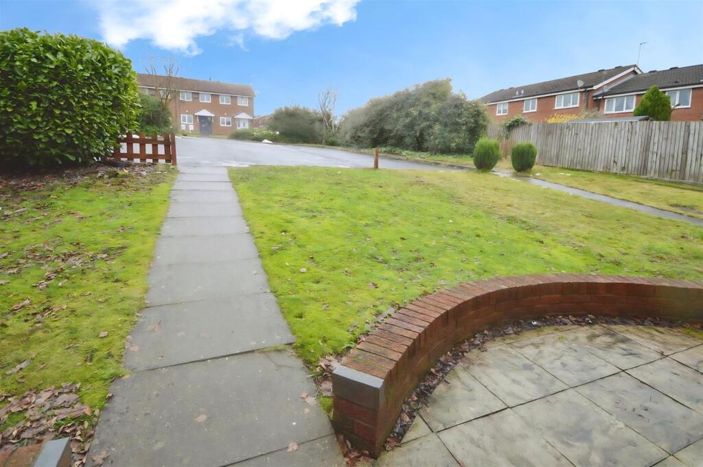
- Garden
- Yes
Description
Listed by
Newcastle Under Lyme
Stephenson Browne Ltd
Reference: 170542805
EPC Rating & Upgrade Cost
Fetching EPC data… Refresh this page in a moment.
Flood risk
Zone: 1
Risk: Low
Job (default Low)
Floorplans
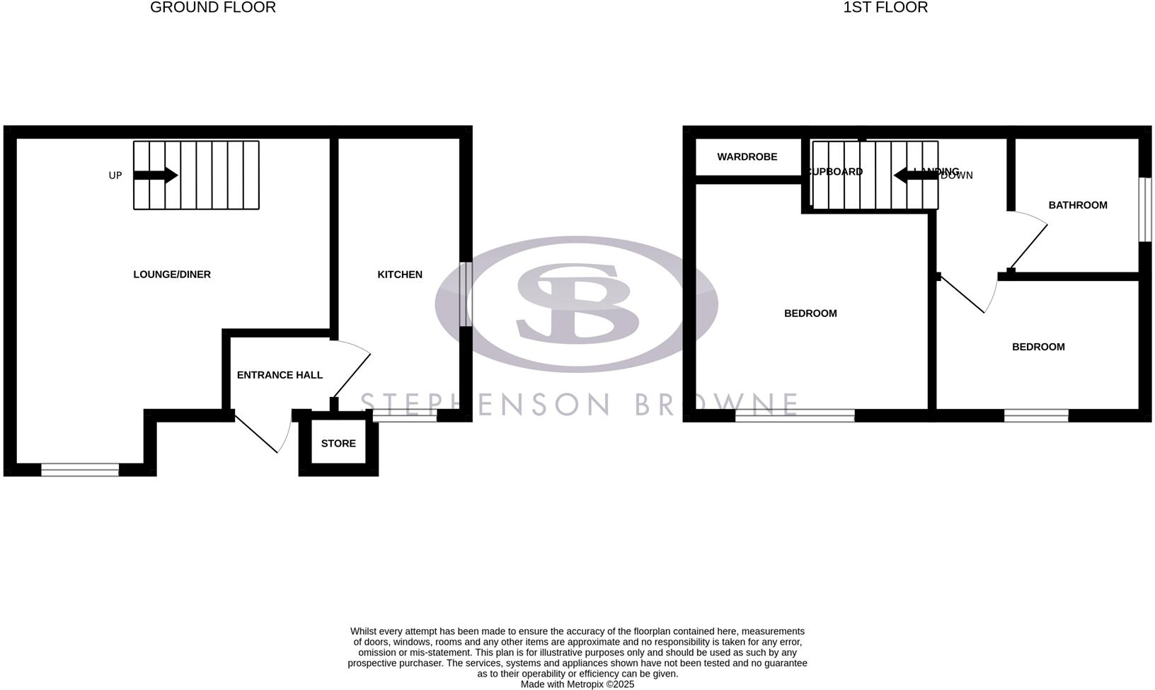
floorplan hasling.png
FENSA Certificates
This property has 1 FENSA certificate(s) on record, indicating window/door installations by FENSA-approved installers.
FENSA Certificate #12451556
Property Details
Street: 8 Haslington Close
Town: NEWCASTLE
Postcode: ST5 7TS
Installation Details
Items: 1 window
Certificate Issued: 17/07/2017
Work Completed: 06/06/2017
This certificate data was retrieved from FENSA's database
What is FENSA? FENSA (Fenestration Self-Assessment Scheme) is a government-authorised scheme that monitors building regulation compliance for replacement windows and doors. Certificates indicate that work was completed by FENSA-approved installers.
Company ownership
Registered legal owner is a company.
Rental Range
Estimated market rent for Newcastle-under-Lyme. Low = conservative, Realistic = average, Optimistic = best case.
Based on Local Authority from postcode lookup → Newcastle-under-Lyme.
LHA (30th percentile) floor for Staffordshire North: £479/mo (Apr 2025 – Mar 2026)
Location
Nearby
Nearest stations, universities and amenities (distance from property).
| Type | Name | Distance |
|---|---|---|
| Bus stop | Aston Road | 0.1 miles |
| Shop | Toolstation | 0.7 miles |
| Shop | Screwfix | 0.7 miles |
| Train station | Apedale Road | 0.8 miles |
| Train station | Silverdale | 1.1 miles |
| Hospital | Bradwell Hospital | 1.1 miles |
| Hospital | Haywood Hospital | 3.0 miles |
| University | Keele University | 3.3 miles |
| University | University of Staffordshire Stoke Campus | 4.2 miles |
Street-level crime
| Category | Count |
|---|---|
| Violence and sexual offences | 48 |
| Anti-social behaviour | 14 |
| Criminal damage and arson | 10 |
| Public order | 7 |
| Other crime | 6 |
| Shoplifting | 5 |
| Other theft | 4 |
| Burglary | 3 |
| Vehicle crime | 2 |
| Drugs | 1 |
| Total incidents | 100 |
Within 1 mile during Apr 2026. Source: data.police.uk (England & Wales).
Schools nearby
Nearest open schools with Ofsted ratings (England). Closed schools are not shown. Data from Get Information about Schools and Ofsted.
| Name | Type | Distance | Ofsted |
|---|---|---|---|
| Crackley Bank Primary School | Primary | 0.4 miles | Good — 21 May 2023 |
| St Chad's CofE (C) Primary School | Primary | 0.5 miles | Good — 10 Apr 2014 |
| Chesterton Community Sports College | Secondary | 0.7 miles | Good — 13 Nov 2022 |
| Chesterton Primary School | Primary | 0.8 miles | Good — 8 Jul 2021 |
| Wood Lane Primary School | Primary | 0.9 miles | Requires improvement — 21 May 2023 |
Rental Comparables
Residential lets from OpenRent and Rightmove for the area (same bedroom count). Use to validate rent estimates. Student lets are excluded.
Average rent: £847/mo (51 listings)