Moorton Avenue
Manchester, M19, M19 2NQ
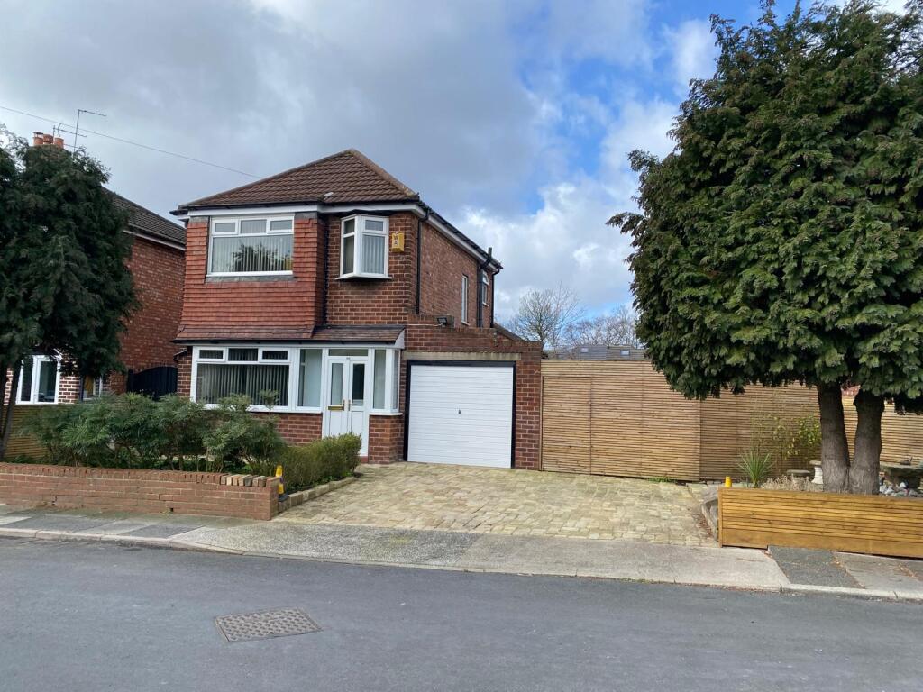
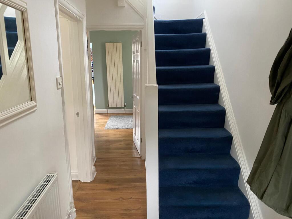
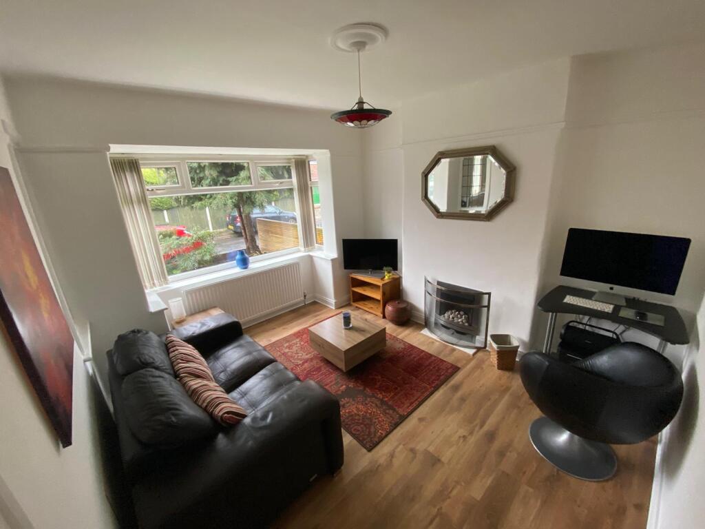
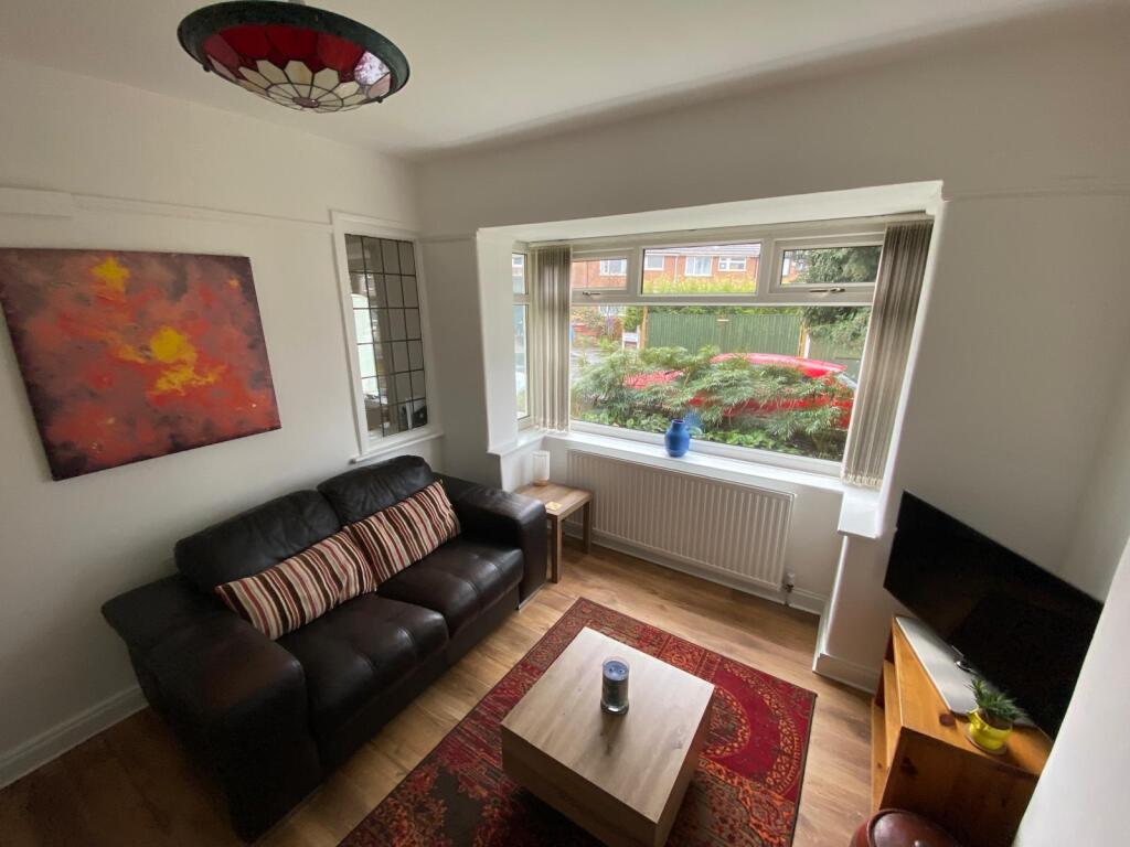
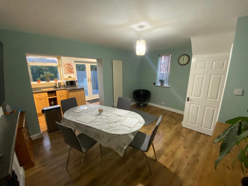

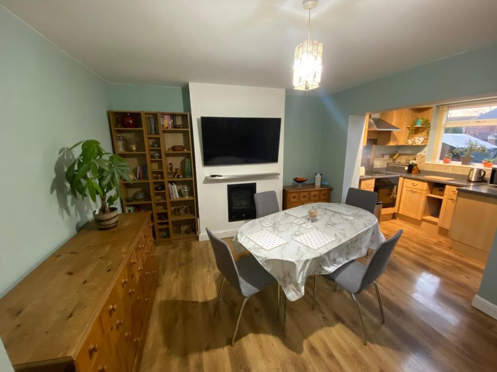
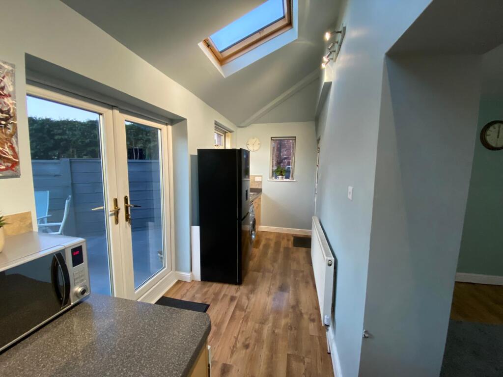
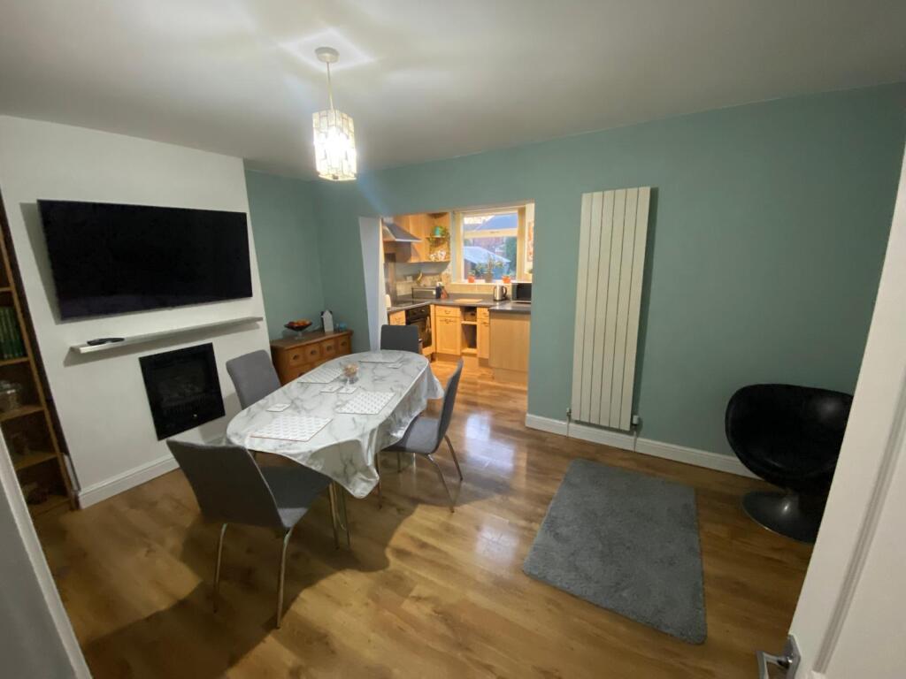
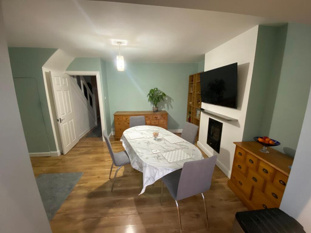
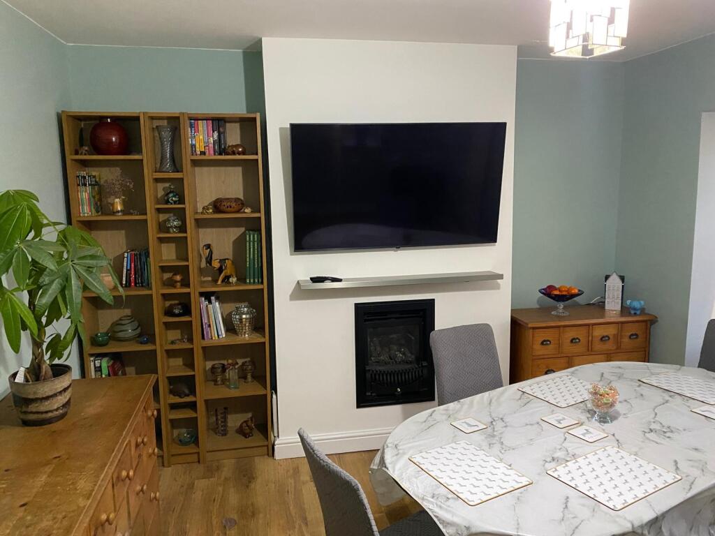
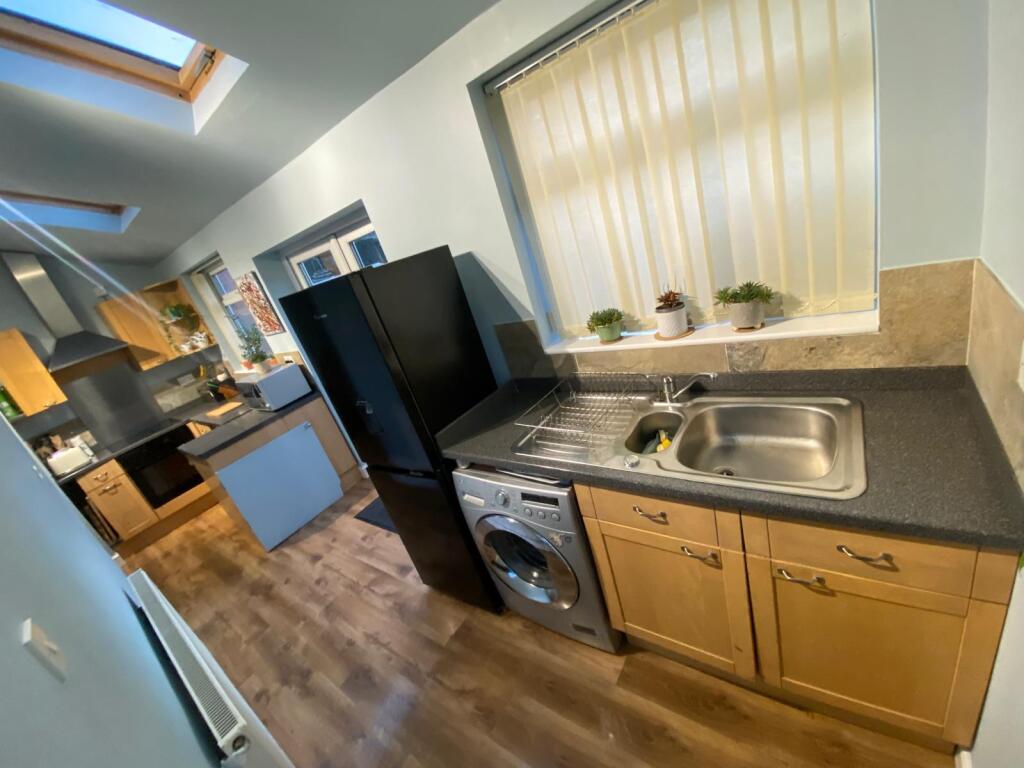
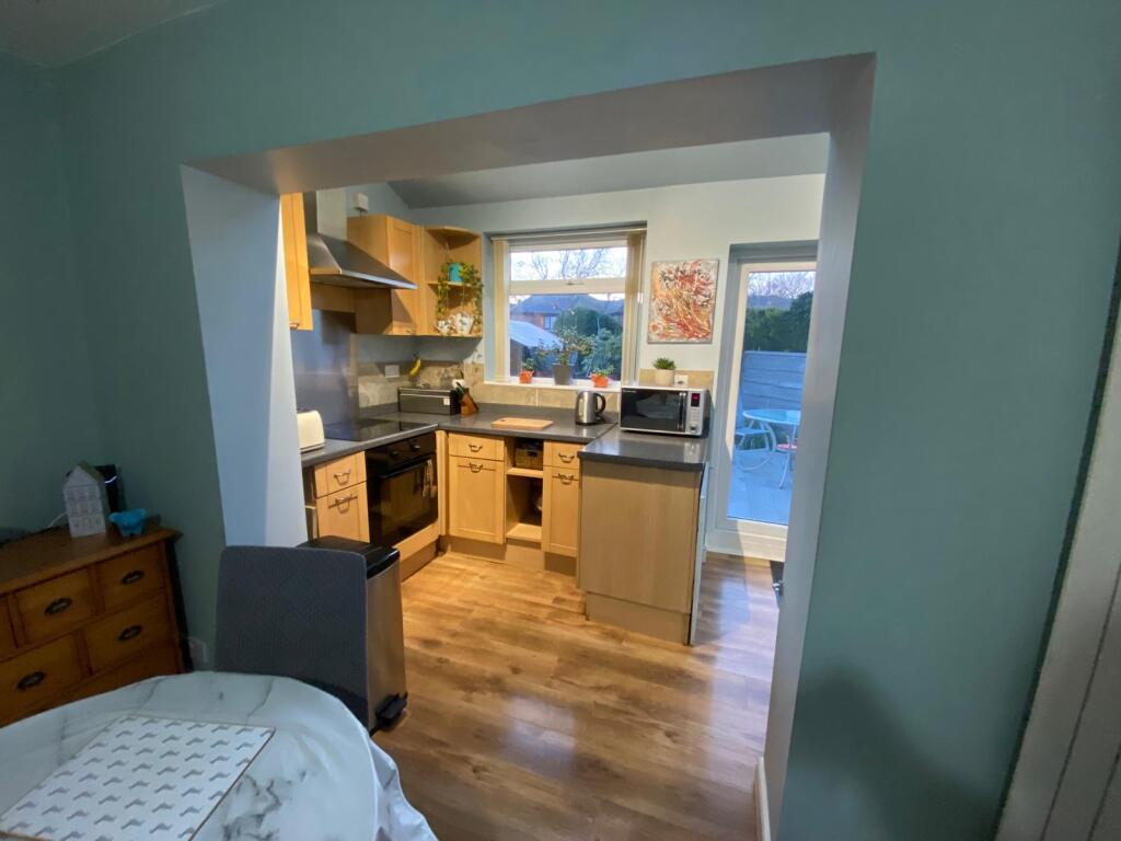
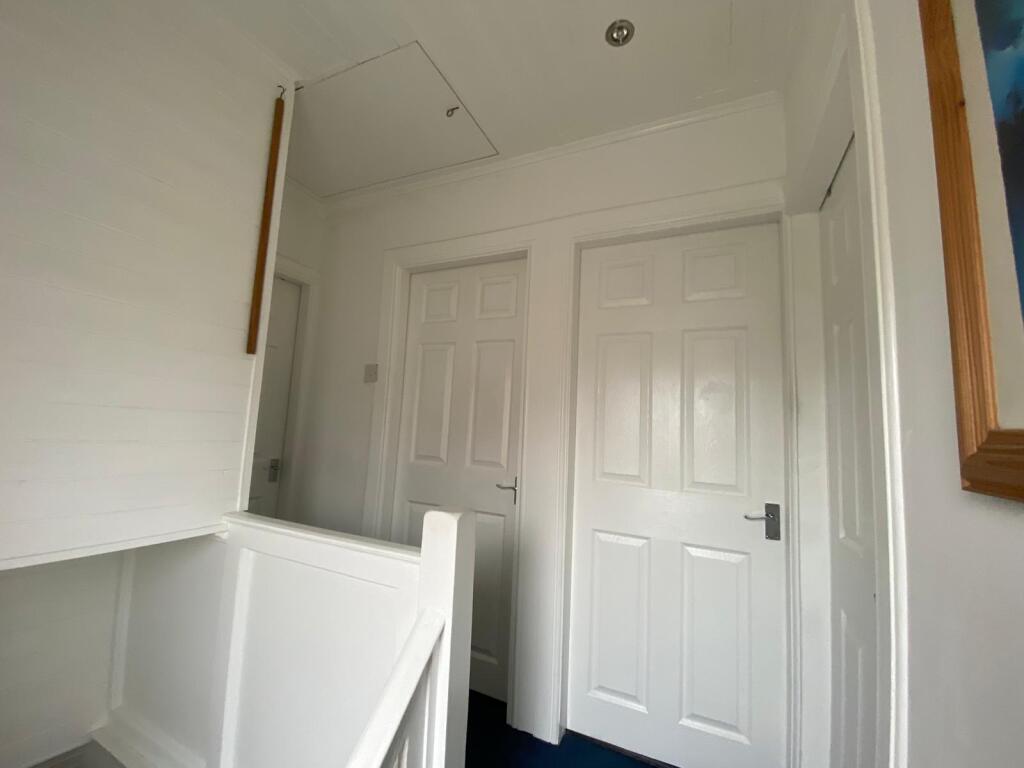
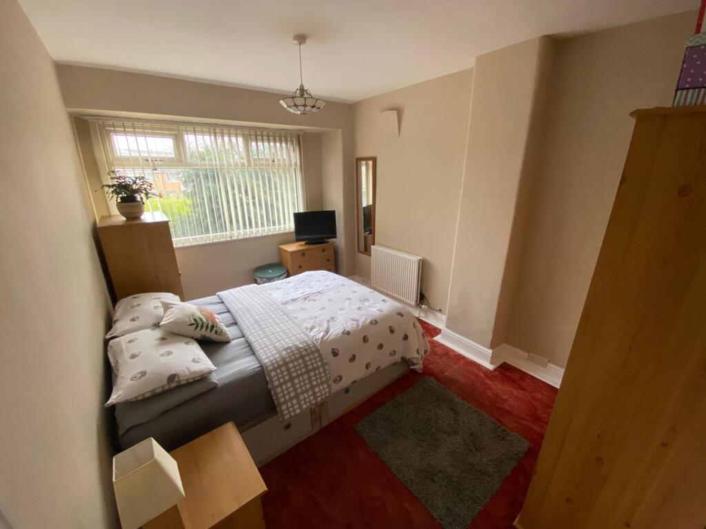
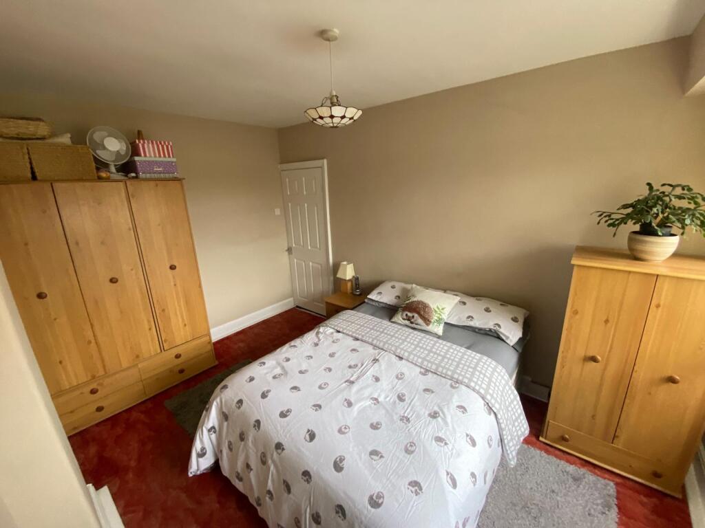
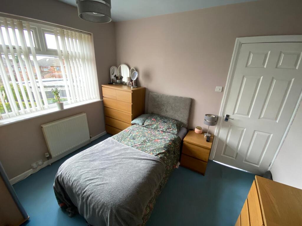
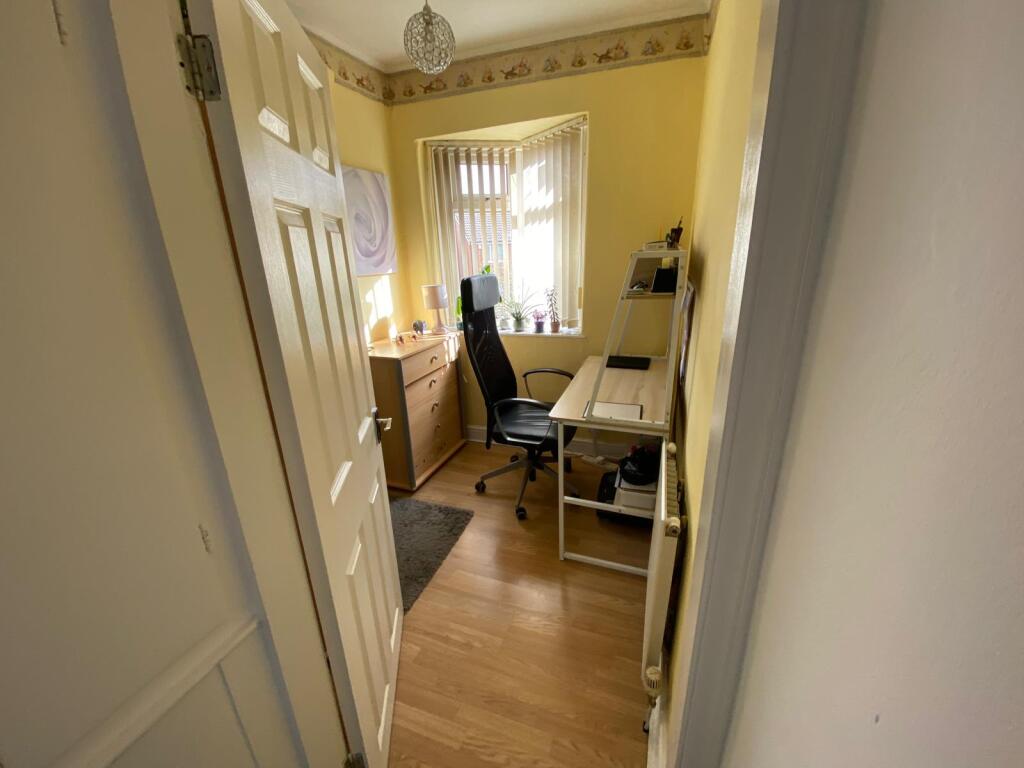
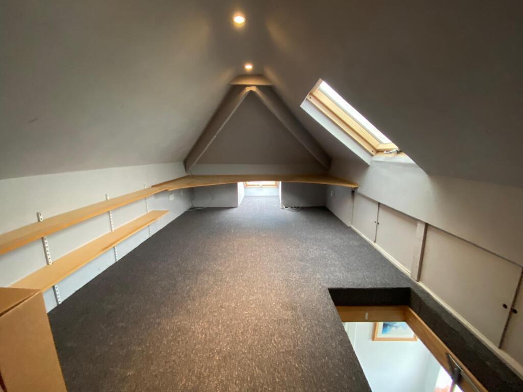
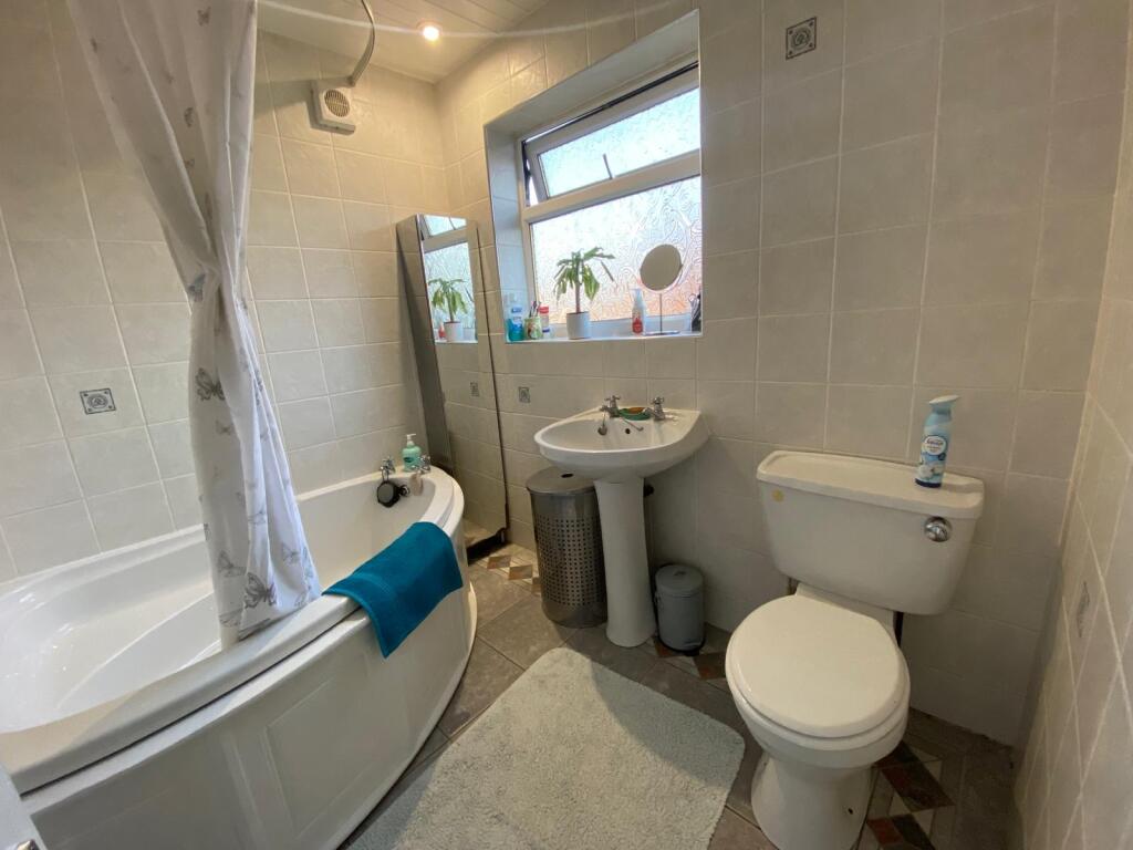
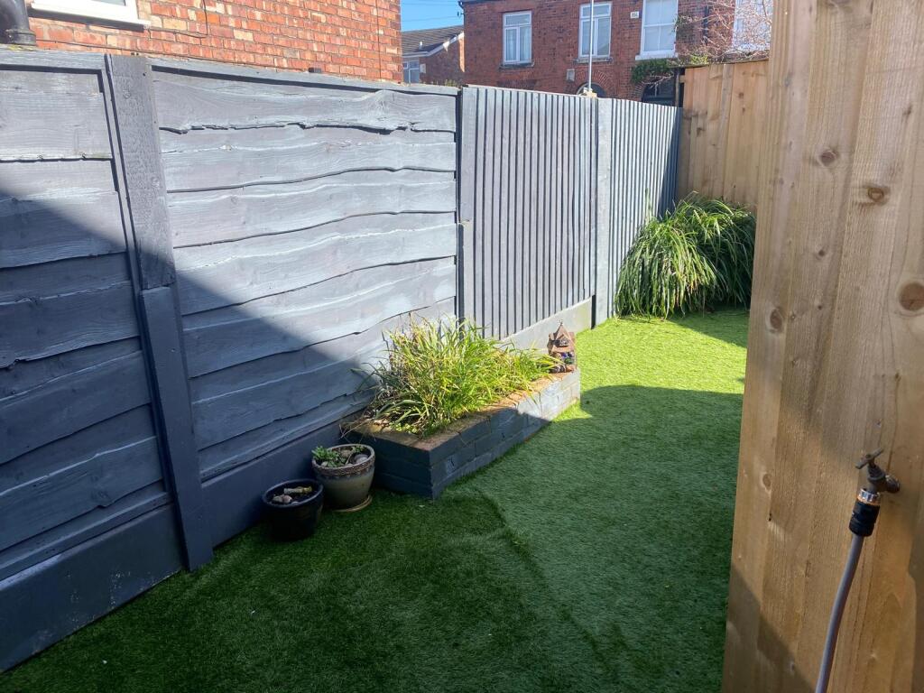
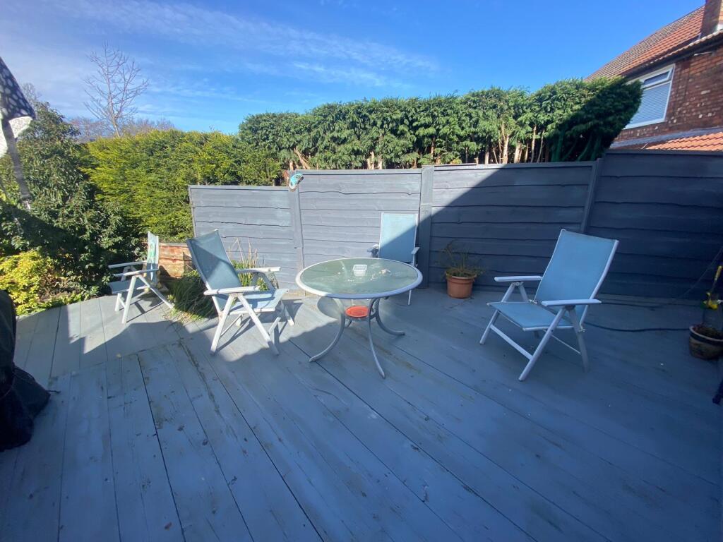
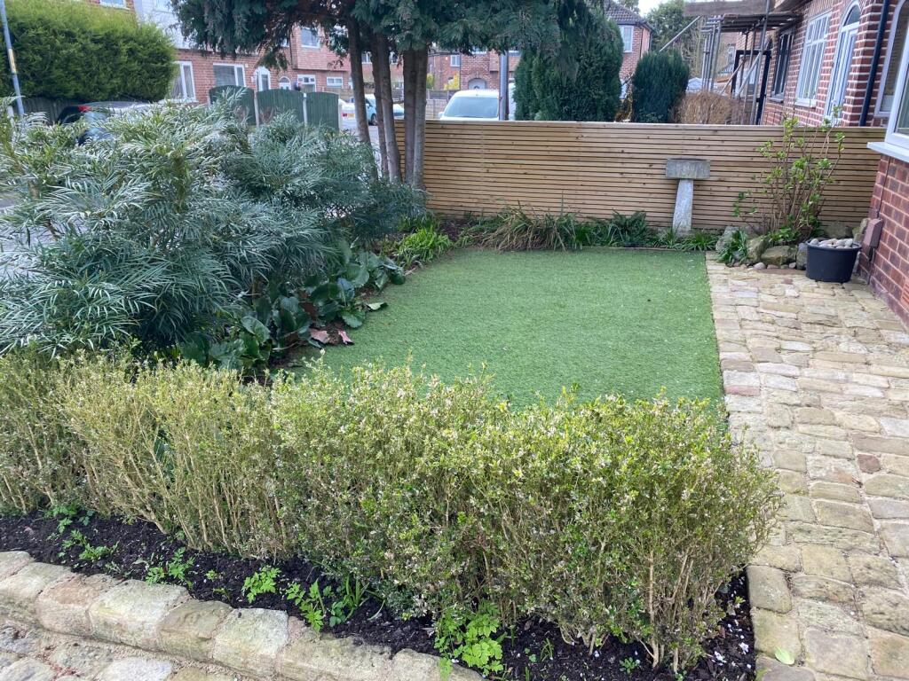
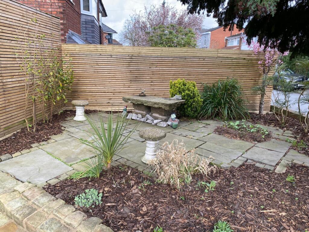

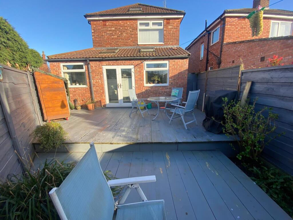
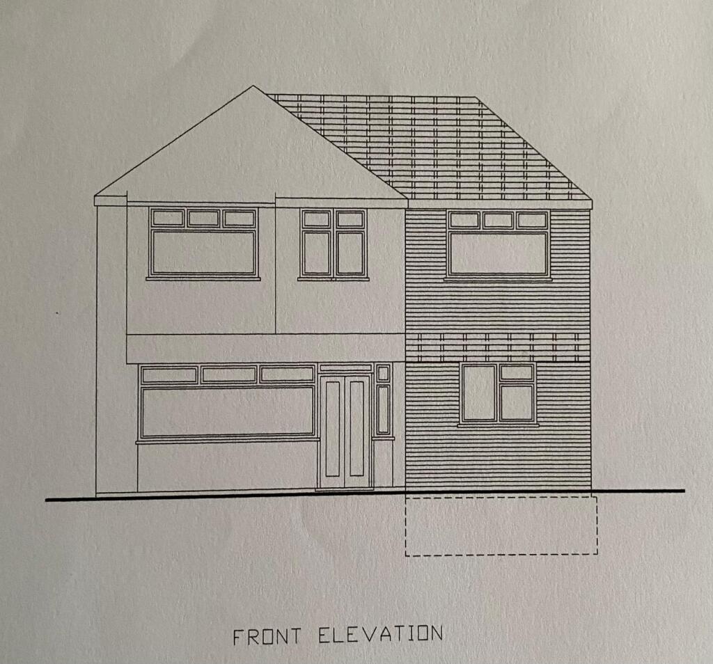
Photo 1 Photo 2 Photo 3 Photo 4 Photo 5 Photo 6 Photo 7 Photo 8 Photo 9 Photo 10 Photo 11 Photo 12 Photo 13 Photo 14 Photo 15 Photo 16 Photo 17 Photo 18 Photo 19 Photo 20 Photo 21 Photo 22 Photo 23 Photo 24 Photo 25 Photo 26 Photo 27
/ 27
Property details
Tenure
FREEHOLD
Last sold
£48,000
Local average
£383,325 (-16.5%)
Deprivation
Decile 3 (7,090 of 33,755)
Street crime
2 incidents within 1 mile (Mar 2026)
Key features
- Catchment For Schools
- Extended Kitchen/Dining Room
- Three Bedrooms
- Driveway For Several Vehicles
- On A Quiet Cul-De-Sac
- Detached House
Additional details
- Parking
- Yes
- Garden
- Yes
Description
In brief the property comprises entrance hall, living room, generous dining room. kitchen/ dining room. Upstairs the property benefits from three bedrooms and a family bathroom, along with a loft room that has boarding and power. Outside to the front is a garden area laid with artificial grass, stocked borders and mature planting along with a generous driveway for several vehicles. To the rear is a garden mainly laid with artificial grass and a large decked area.
First to See Will BUY!!
Disclaimer
Whilst we make enquiries with the Seller to ensure the information provided is accurate, Yopa makes no representations or warranties of any kind with respect to the statements contained in the particulars which should not be relied upon as representations of fact. All representations contained in the particulars are based on details supplied by the Seller. Your Conveyancer is legally responsible for ensuring any purchase agreement fully protects your position. Please inform us if you become aware of any information being inaccurate.
Money Laundering Regulations
Should a purchaser(s) have an offer accepted on a property marketed by Yopa, they will need to undertake an identification check and asked to provide information on the source and proof of funds. This is done to meet our obligation under Anti Money Laundering Regulations (AML) and is a legal requirement. We use a specialist third party service together with an in-house compliance team to verify your information. The cost of these checks is £82.50 +VAT per purchase, which is paid in advance, when an offer is agreed and prior to a sales memorandum being issued. This charge is non-refundable under any circumstances.
Listed by
North West & Midlands
Yopa Property Ltd
Reference: 173906885
EPC ratings on this postcode
We don't have a matched EPC for this property yet. Below are efficiency scores and details for other addresses on this postcode.
| Address | Current | Potential | Floor area | Age band | Type |
|---|---|---|---|---|---|
| 11, Moorton Avenue, MANCHESTER | 73 | 76 | 44 m² | England and Wales: 1996-2002 | Flat |
| 11a, Moorton Avenue, MANCHESTER | 48 | 76 | 84 m² | England and Wales: 1967-1975 | Detached |
| 19, Moorton Avenue, MANCHESTER | 41 | 72 | 97 m² | England and Wales: 1967-1975 | Detached |
| 21, Moorton Avenue, MANCHESTER | 45 | 80 | 105 m² | England and Wales: before 1900 | Terraced |
| 22 Moorton Avenue, MANCHESTER | 74 | 76 | 46 m² | England and Wales: 1991-1995 | Flat |
| 23 Moorton Avenue, MANCHESTER | 60 | 82 | 90 m² | England and Wales: before 1900 | Terraced |
| 23 MOORTON AVENUE, MANCHESTER | 62 | 86 | 96 m² | England and Wales: 1900-1929 | Terraced |
| 26, Moorton Avenue, MANCHESTER | 77 | 77 | 56 m² | England and Wales: 1996-2002 | Flat |
| 27, Moorton Avenue, MANCHESTER | 63 | 82 | 116 m² | England and Wales: 1950-1966 | Terraced |
| 28, Moorton Avenue, MANCHESTER | 71 | 74 | 56 m² | England and Wales: 1991-1995 | Flat |
| 29 MOORTON AVENUE, MANCHESTER | 68 | 90 | 78 m² | England and Wales: 1967-1975 | Terraced |
| 29, Moorton Avenue, MANCHESTER | 31 | 88 | 86 m² | England and Wales: 1967-1975 | Terraced |
| 31 Moorton Avenue, MANCHESTER | 45 | 86 | 78 m² | England and Wales: 1950-1966 | Terraced |
| 31 Moorton Avenue, MANCHESTER | 30 | 80 | 71 m² | England and Wales: 1950-1966 | Terraced |
| 34 Moorton Avenue, MANCHESTER | 69 | 77 | 134 m² | England and Wales: 1930-1949 | Detached |
Flood risk
Zone: 1
Risk: Low
Job (default Low)
Floorplans
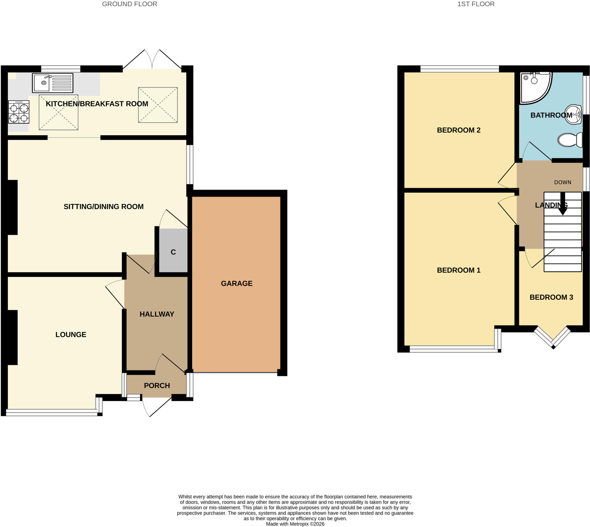
Floorplan 1
Price history
| Event | Date | Price | % change |
|---|---|---|---|
| Listed for sale | — | £320,000 | +566.7% |
| Sold | 01/01/1998 (28 years ago) | £48,000 | — |
Source: HM Land Registry Price Paid Data. Crown copyright.
Sold Comparables
Same street and nearby sales within 0.25 miles (last 5 years). Data from Land Registry Price Paid.
| Address | Price | Date | Type |
|---|---|---|---|
| Same street 31 MOORTON AVENUE, MANCHESTER, GREATER MANCHESTER, M19 2NQ | £205,500 | 26/06/2023 | Terraced |
| 8 GRANGETHORPE DRIVE, MANCHESTER, GREATER MANCHESTER, M19 2LG | £253,000 | 29/11/2022 | Detached |
| 15 OAKLEIGH AVENUE, MANCHESTER, GREATER MANCHESTER, M19 2WP | £325,000 | 15/08/2022 | Detached |
| Same street 48 MOORTON AVENUE, MANCHESTER, GREATER MANCHESTER, M19 2NQ | £238,000 | 27/01/2022 | Semi-detached |
| Same street 29 MOORTON AVENUE, MANCHESTER, GREATER MANCHESTER, M19 2NQ | £255,000 | 15/12/2021 | Terraced |
Street average: £232,833 (3 sales)
Area average: £289,000 (2 sales)
Capital growth trend
Land Registry outcode average: last 12 months vs 5y and 10y ago (from sold prices).
House Price Index (HM Land Registry — official index, not sold-price averages): Manchester. Series: Detached. As of February 2026.
Rental Range
Estimated market rent for Manchester. Low = conservative, Realistic = average, Optimistic = best case.
Based on Local Authority from postcode lookup → Manchester.
LHA (30th percentile) floor for West Pennine: £504/mo (Apr 2025 – Mar 2026)
Location
Address
Moorton Avenue
Nearby
Nearest stations, universities and amenities (distance from property).
| Type | Name | Distance |
|---|---|---|
| Bus stop | Burnage, Burnage Lane / near Crossley Road | 0.1 miles |
| Bus stop | Burnage, Burnage Lane / opposite Crossley Road | 0.1 miles |
| Shop | King of the Castles Entertainments | 0.2 miles |
| Shop | Bud | 0.3 miles |
| Train station | Mauldeth Road | 0.4 miles |
| Train station | Levenshulme | 0.7 miles |
| University | University of Manchester Fallowfield Campus | 0.8 miles |
| University | Fallowfield Reception and Richmond Amenities Building | 0.9 miles |
| Hospital | Newlands Care Home | 1.0 miles |
| Hospital | Kinnaird House (The Christie NHS Foundation Trust) | 1.2 miles |
Street-level crime
| Category | Count |
|---|---|
| Criminal damage and arson | 1 |
| Violence and sexual offences | 1 |
| Total incidents | 2 |
Within 1 mile during Mar 2026. Source: data.police.uk (England & Wales).
Schools nearby
Nearest open schools with Ofsted ratings (England). Closed schools are not shown. Data from Get Information about Schools and Ofsted.
| Name | Type | Distance | Ofsted |
|---|---|---|---|
| Acacias Community Primary School | Primary | 0.2 miles | Good — 2 Apr 2014 |
| Levenshulme High School | Secondary | 0.2 miles | Outstanding — 15 Nov 2016 |
| Cringle Brook Primary School | Primary | 0.4 miles | Outstanding — 20 Mar 2017 |
| St Mary's RC Primary School Manchester | Primary | 0.4 miles | Outstanding — 30 Jun 2022 |
| St Bernard's RC Primary School Manchester | Primary | 0.4 miles | Good — 28 Mar 2017 |
Rental Comparables
Loading rental comparables for this postcode. Refresh in a few minutes.
Rent-driven metrics
Based on Area rent estimate.
- Rent ratio — Monthly rent ÷ purchase price (1% rule). 1%+ = strong, 0.8–1% = okay, <0.8% = weak for cashflow.
- Max investor price — Rent ÷ 0.8%; the price at which rent would be 0.8% of price (Stoke-style target).
- Target investor price — Rent ÷ 1%; the price at which rent would be 1% of price (strong cashflow band).
- Gross yield — Annual rent as % of purchase price (no costs).
Enter House Number
Enter the house number to help us retrieve more accurate pricing history and property data.
Please log in to submit or correct the house number for this listing.
Log in to continue