93 ROMAN ROAD
LUTON, LUTON LU4 9DL
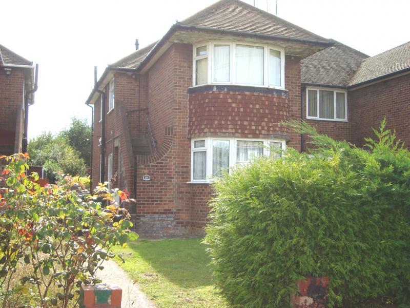
Photo 1
/ 1
Property details
Floor area
56 m²
Deprivation
Decile 4 (10,695 of 33,755)
Street crime
367 incidents within 1 mile (May 2026)
Key features
- Double glazing
- Gas central heating
- Kitchen appliances
- Shared garden
- Casual parking
Additional details
- Parking
- Yes
- Garden
- Yes
Description
BEDROOM 10'6 x 7'9
Front aspect double glazed window. Radiator. Furniture as required.
KITCHEN (Shared use)
Fitted in modern style, with electric hob with oven under, washing machine, fridge/freezer, microwave, toaster, etc.
LOUNGE (Shared use)
Rear aspect double glazed window. Radiator.
BATHROOM (Shared use)
Bath with a shower over, wash-hand basin and WC.
OUTSIDE
The garden is available for shared use, as required. Casual parking outside.
Listed by
Houghton Regis
Zebra Asset Management LTD t/a Zebra Properties
Reference: 40592785
EPC Rating & Upgrade Cost
Fetching EPC data… Refresh this page in a moment.
Flood risk
Zone: 1
Risk: Low
Job (default Low)
Rental Range
Estimated market rent for Luton. Low = conservative, Realistic = average, Optimistic = best case.
Based on Local Authority from postcode lookup → Luton.
LHA (30th percentile) floor for Luton: £698/mo (Apr 2025 – Mar 2026)
Location
Nearby
Nearest stations, universities and amenities (distance from property).
| Type | Name | Distance |
|---|---|---|
| Shop | Hamza Supermarket | 0.1 miles |
| Shop | Punia Stores & Off Licence | 0.1 miles |
| Bus stop | Roman Road | 0.3 miles |
| Bus stop | Maidenhall Beechwood | 0.4 miles |
| Train station | Leagrave | 0.5 miles |
| Hospital | Luton and Dunstable Hospital | 0.9 miles |
| Hospital | Widecombe Nursing Home | 1.6 miles |
| Train station | Luton | 2.1 miles |
| University | University of Bedfordshire | 2.4 miles |
Street-level crime
| Category | Count |
|---|---|
| Violence and sexual offences | 144 |
| Anti-social behaviour | 56 |
| Other theft | 31 |
| Criminal damage and arson | 29 |
| Public order | 22 |
| Vehicle crime | 22 |
| Other crime | 15 |
| Drugs | 14 |
| Shoplifting | 12 |
| Burglary | 8 |
| Possession of weapons | 7 |
| Robbery | 4 |
| Bicycle theft | 2 |
| Theft from the person | 1 |
| Total incidents | 367 |
Within 1 mile during May 2026. Source: data.police.uk (England & Wales).
Schools nearby
Nearest open schools with Ofsted ratings (England). Closed schools are not shown. Data from Get Information about Schools and Ofsted.
| Name | Type | Distance | Ofsted |
|---|---|---|---|
| Beechwood Primary School | Primary | 0.2 miles | Good — 14 Oct 2019 |
| Norton Road Primary School | Primary | 0.4 miles | Good — 13 May 2024 |
| St Joseph's Catholic Primary School | Primary | 0.5 miles | Good — 6 Dec 2017 |
| Challney High School for Girls | Secondary | 0.6 miles | Outstanding — 10 Feb 2020 |
| Downside Primary School | Primary | 0.6 miles | Good — 5 Jun 2015 |
Rental Comparables
Rental comparables are temporarily unavailable while listing-site fetches are paused. Try again later.