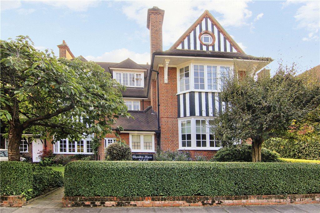
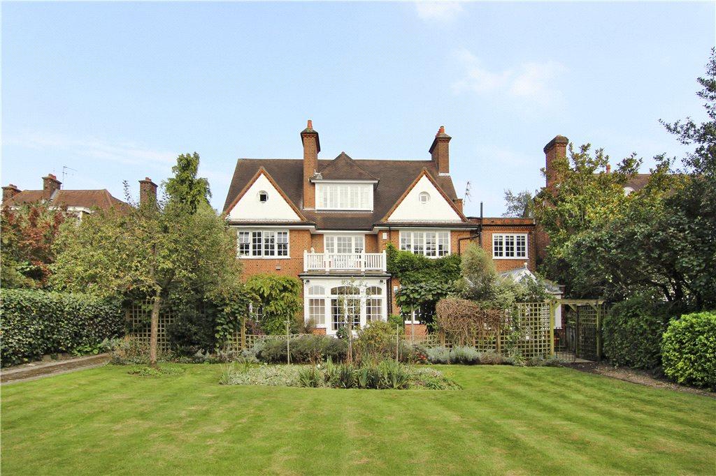
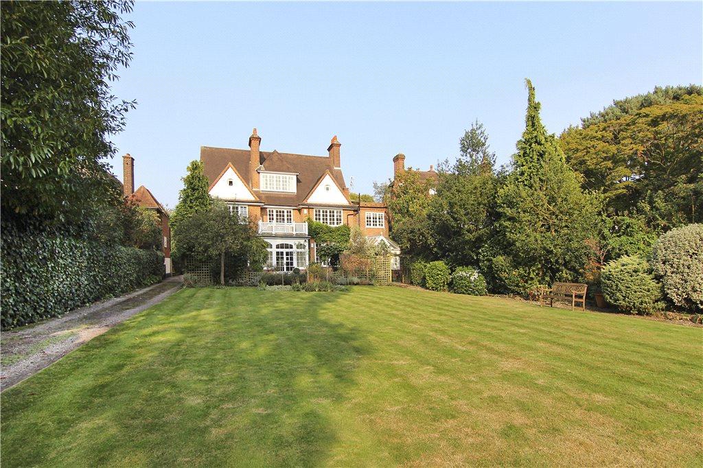
FLAT 4
65 MURRAY ROAD, LONDON, GREATER LONDON SW19 4PF
£7,000 pcm
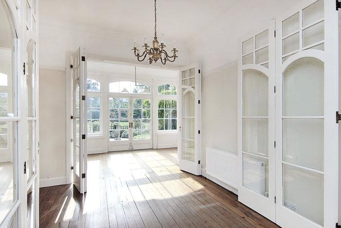
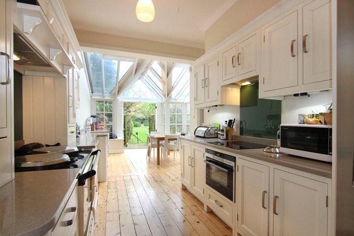
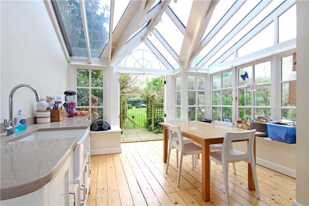
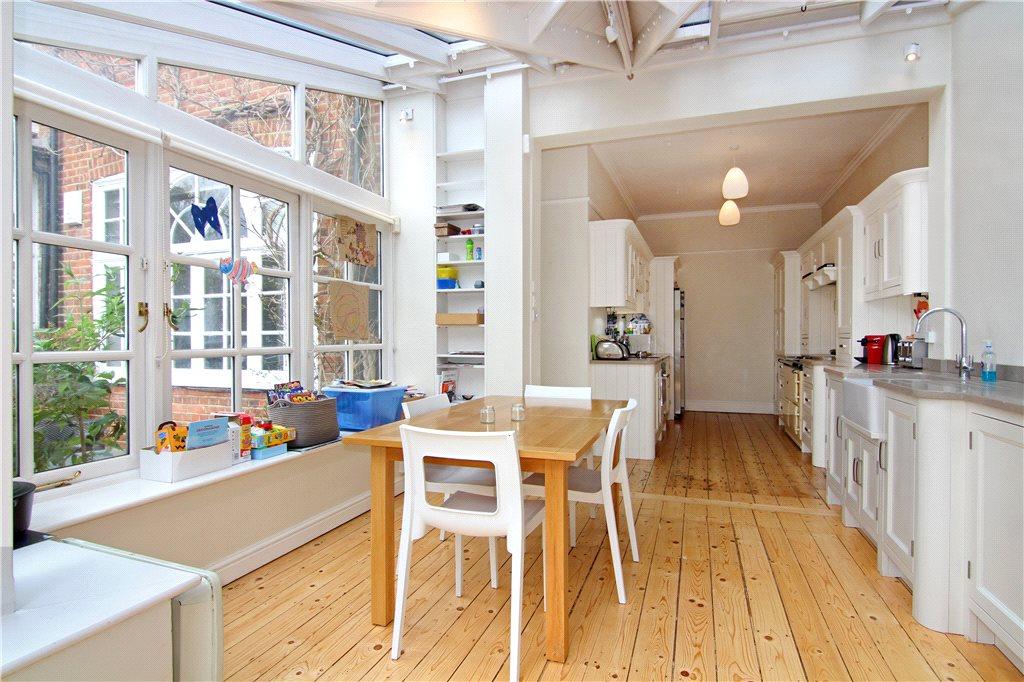
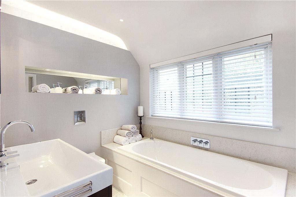
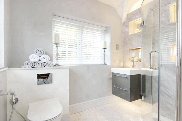
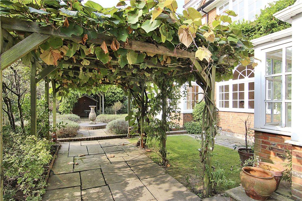
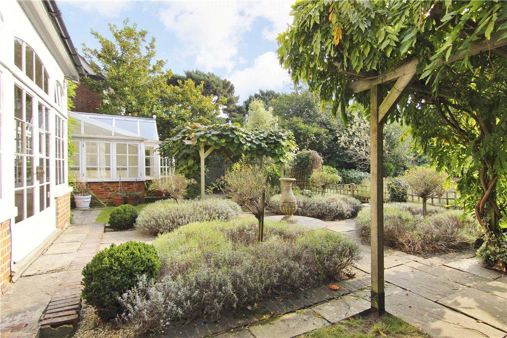

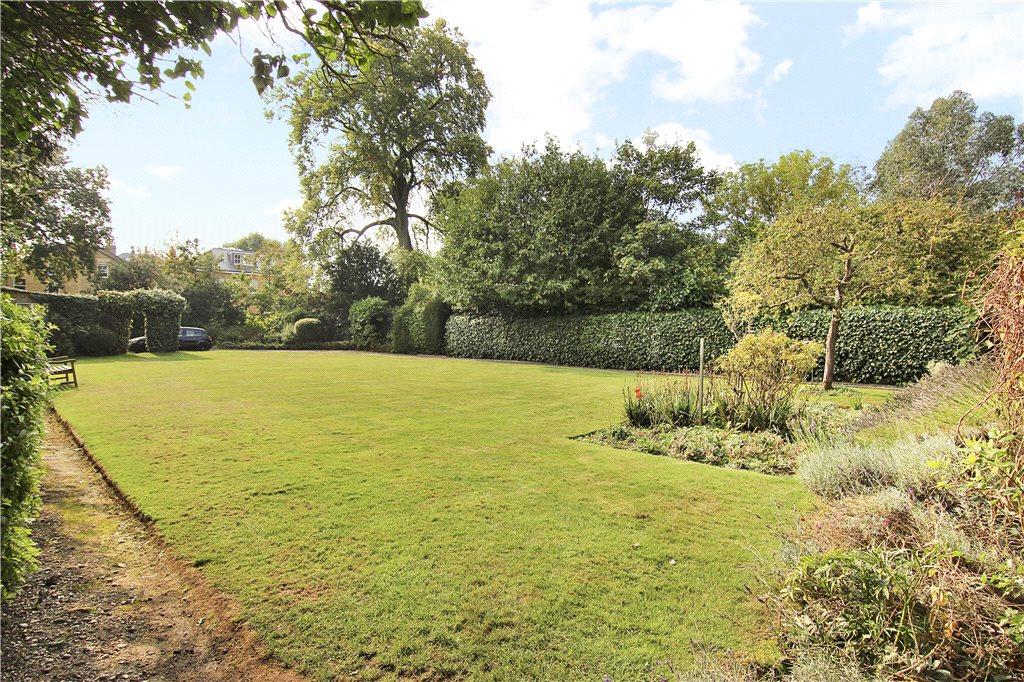

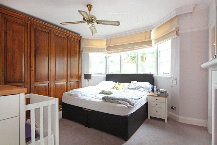

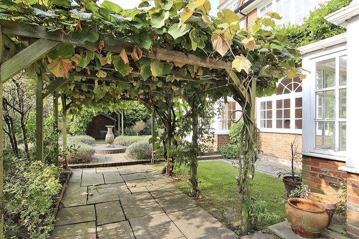

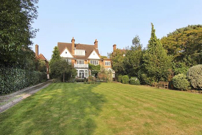
Picture No. 03 Picture No. 11 Picture No. 14 Picture No. 31 Picture No. 32 Picture No. 17 Picture No. 18 Picture No. 20 Picture No. 33 Picture No. 34 Picture No. 28 Picture No. 29 Picture No. 01 Picture No. 24 Picture No. 23 Picture No. 09 Picture No. 04 Picture No. 02 Picture No. 12 Picture No. 07 Picture No. 08 Picture No. 27 Picture No. 35 Picture No. 36
/ 24
Property details
Deprivation
Decile 9 (27,201 of 33,755)
Street crime
217 incidents within 1 mile (Apr 2026)
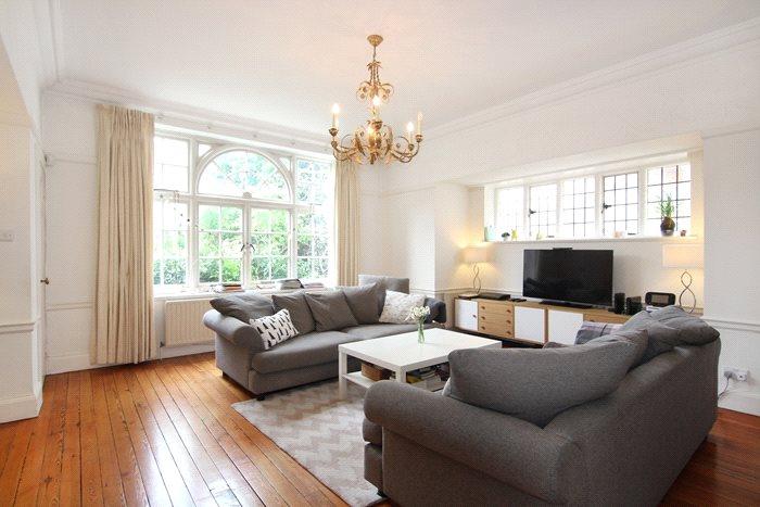
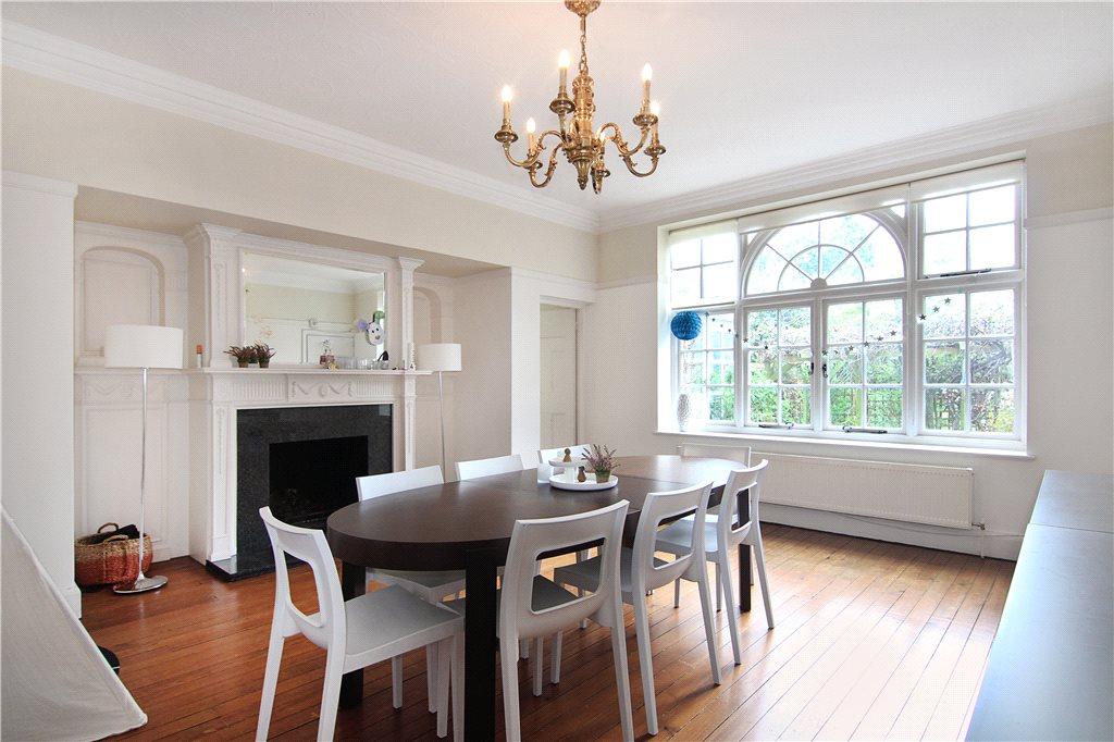
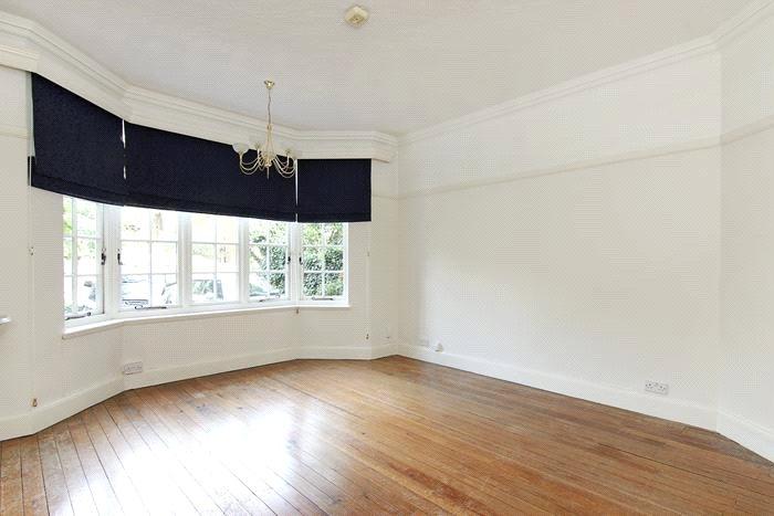
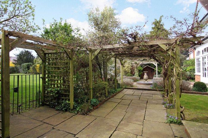
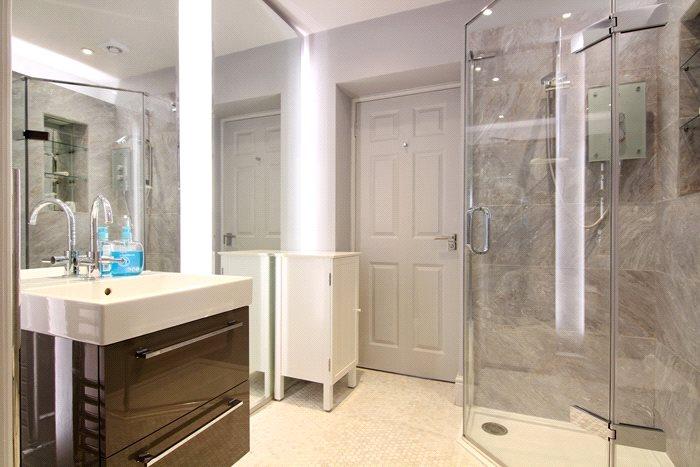
Description
Listed by
Wimbledon - Lettings
Robert Holmes & Co
Reference: 73404269
EPC Rating & Upgrade Cost
Fetching EPC data… Refresh this page in a moment.
Flood risk
Zone: 1
Risk: Low
Job (default Low)
Floorplans
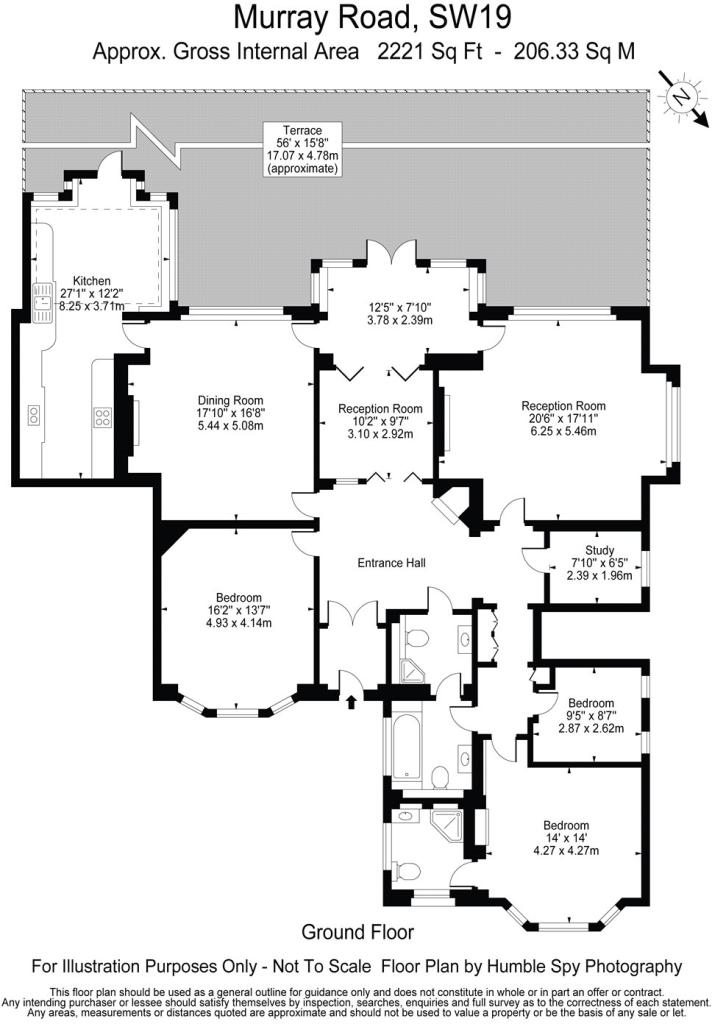
Floorplan
EPC Graphs
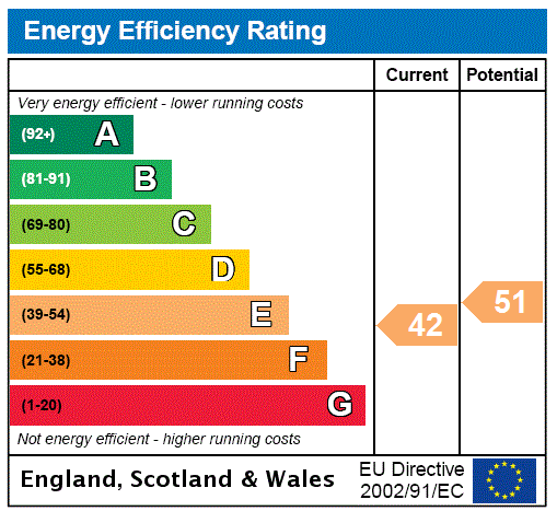
EPC Rating Graph
Rental Range
Estimated market rent for Merton. Low = conservative, Realistic = average, Optimistic = best case.
Based on Local Authority from postcode lookup → Merton.
LHA (30th percentile) floor for Stevenage & North Herts: £1,247/mo (Apr 2025 – Mar 2026)
Location
Nearby
Nearest stations, universities and amenities (distance from property).
| Type | Name | Distance |
|---|---|---|
| Bus stop | Wimbledon Telephone Exchange | 0.1 miles |
| Shop | The Co-operative Food | 0.1 miles |
| Shop | Sweaty Betty | 0.2 miles |
| Train station | Wimbledon | 0.7 miles |
| Train station | Wimbledon Chase | 0.9 miles |
| University | Horton Halls Reception | 2.1 miles |
| Hospital | Chapel Orchard Day Surgery | 2.6 miles |
| Hospital | Queen Mary's Childrens' Hospital | 3.3 miles |
| University | BIMM Institute London | 4.1 miles |
Street-level crime
| Category | Count |
|---|---|
| Shoplifting | 51 |
| Anti-social behaviour | 47 |
| Violence and sexual offences | 37 |
| Other theft | 17 |
| Vehicle crime | 15 |
| Public order | 14 |
| Bicycle theft | 8 |
| Burglary | 7 |
| Criminal damage and arson | 7 |
| Robbery | 6 |
| Theft from the person | 4 |
| Drugs | 2 |
| Other crime | 1 |
| Possession of weapons | 1 |
| Total incidents | 217 |
Within 1 mile during Apr 2026. Source: data.police.uk (England & Wales).
Schools nearby
Nearest open schools with Ofsted ratings (England). Closed schools are not shown. Data from Get Information about Schools and Ofsted.
| Name | Type | Distance | Ofsted |
|---|---|---|---|
| Wimbledon Common Preparatory School | Other | 0.2 miles | — (No rating) |
| Wimbledon College | Secondary | 0.2 miles | Good — 10 Oct 2013 |
| King's College School | Other | 0.2 miles | — (No rating) |
| Donhead Preparatory School | Other | 0.3 miles | — (No rating) |
| Wimbledon High School GDST | Other | 0.4 miles | — (No rating) |
Rental Comparables
Residential lets from OpenRent and Rightmove for the area (same bedroom count). Use to validate rent estimates. Student lets are excluded.
| Title | Rent | Beds | Distance | As seen on |
|---|---|---|---|---|
| 3 Bed Flat, Kingsdown, SW19 | £3,250/mo | 3 | 0.32 miles | OpenRent |
Average rent: £3,250/mo (1 listing)