St5 5Ja
ST5 5JA
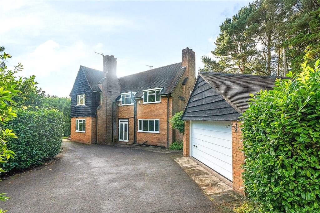
Property details
Floor area
237 m²
Council tax band
G
Deprivation
Decile 8 (24,560 of 33,755)
EPC ratings on this postcode
We don't have a matched EPC for this property yet. Below are efficiency scores and details for other addresses on this postcode.
| Address | Current | Potential | Floor area | Age band | Type |
|---|---|---|---|---|---|
| Broadlands, Heath Rise, Whitmore Heath, NEWCASTLE | 81 | 86 | 235 m² | England and Wales: 2007-2011 | Detached |
| FERNRIDGE, HEATH RISE, WHITMORE HEATH, NEWCASTLE UNDER LYME | 53 | 86 | 193 m² | England and Wales: 1950-1966 | Detached |
| Greenhills, Whitmore Heath, NEWCASTLE | 64 | 79 | 290 m² | England and Wales: 1967-1975 | Detached |
| Greenhills, Whitmore Heath, NEWCASTLE | 62 | 75 | 331 m² | England and Wales: 2003-2006 | Detached |
| Kepplestone, Whitmore Heath, NEWCASTLE | 65 | 81 | 221 m² | England and Wales: 1967-1975 | Detached |
| Kepplestone, Whitmore Heath, NEWCASTLE | 55 | 67 | 215 m² | England and Wales: 1950-1966 | Detached |
| Mandarin House, Whitmore Heath, NEWCASTLE | 77 | 79 | 154 m² | England and Wales: 1967-1975 | Detached |
| Mandarin House, Whitmore Heath, NEWCASTLE | 79 | 84 | 148 m² | — | Detached |
| Sandy Ridge, Whitmore Heath, NEWCASTLE | 69 | 82 | 266 m² | England and Wales: 1950-1966 | Detached |
| Stratharran, Whitmore Heath, NEWCASTLE | 59 | 70 | 260 m² | England and Wales: 1967-1975 | Detached |
| Stratharran, Whitmore Heath, NEWCASTLE | 65 | 78 | 263 m² | England and Wales: 1950-1966 | Detached |
| The Dingle, Whitmore Heath, NEWCASTLE | 66 | 80 | 246 m² | England and Wales: 1950-1966 | Detached |
| The Dingle, Whitmore Heath, NEWCASTLE | 54 | 73 | 226 m² | England and Wales: 1950-1966 | Detached |
| The Willows, Whitmore Heath, NEWCASTLE | 52 | 79 | 176 m² | England and Wales: 1967-1975 | Detached |
| Tree Tops, Whitmore Heath | 68 | 77 | 237 m² | England and Wales: 1950-1966 | House |
Flood risk
Zone: 1
Risk: Low
Not in Flood Risk Area (no data)
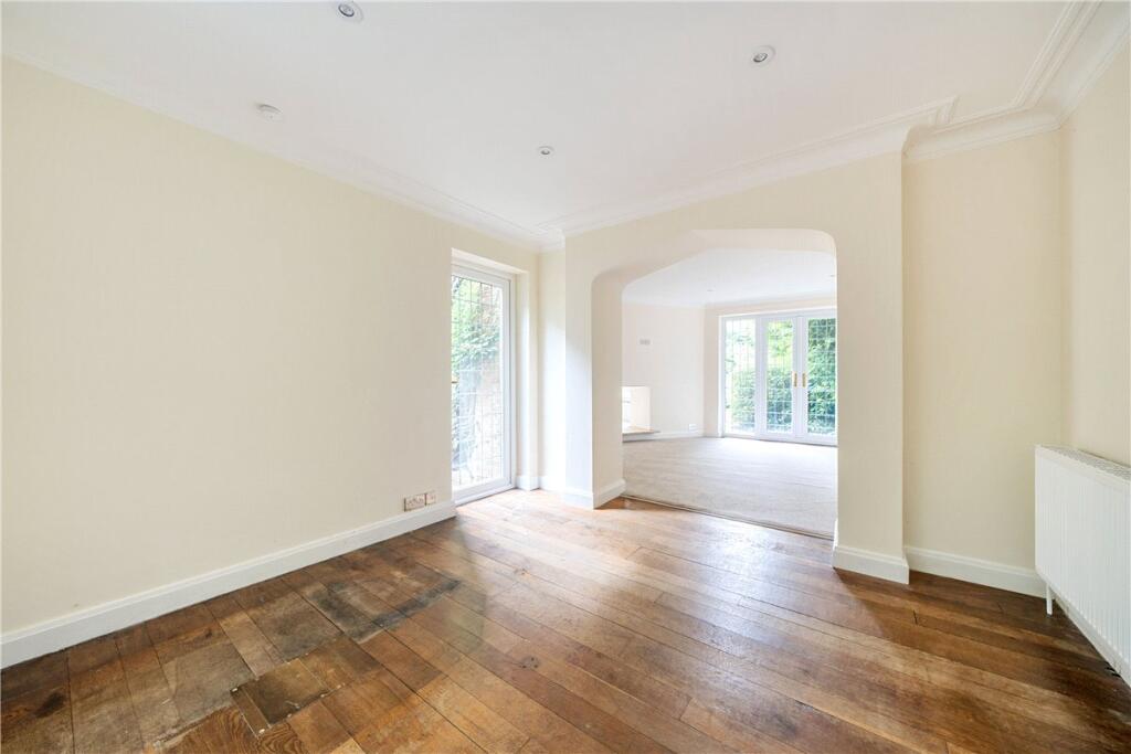
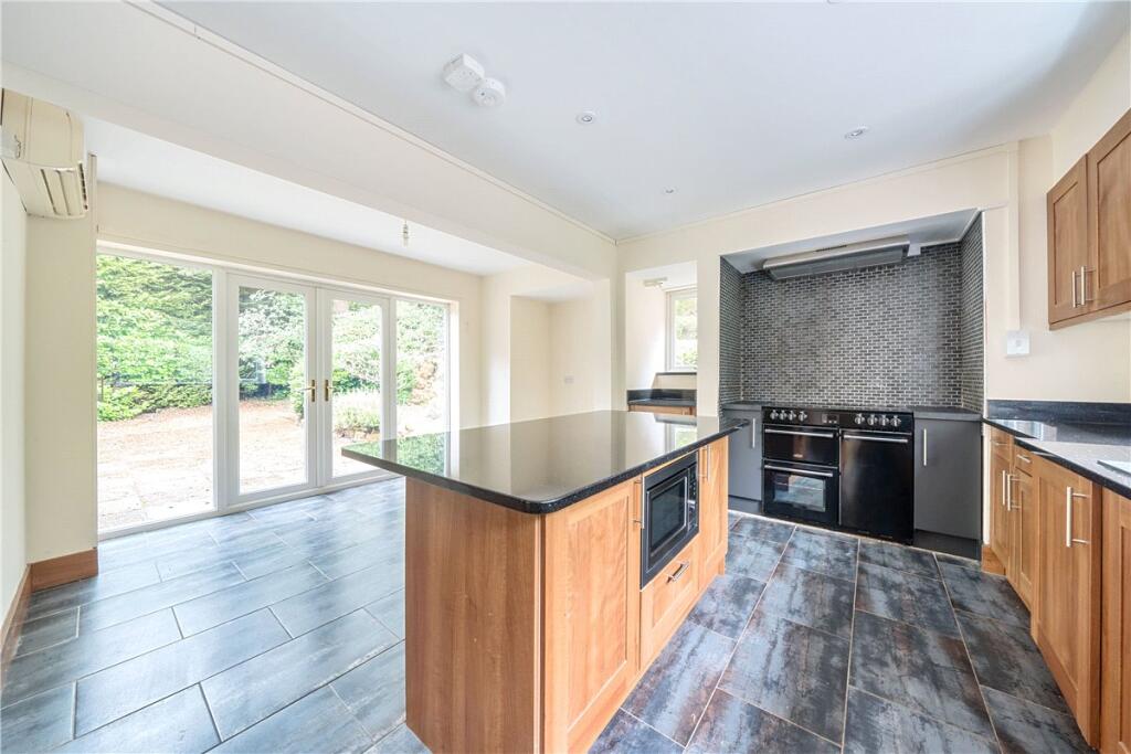
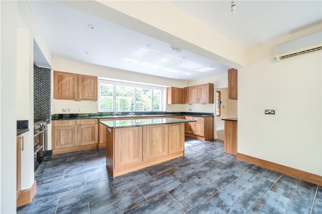
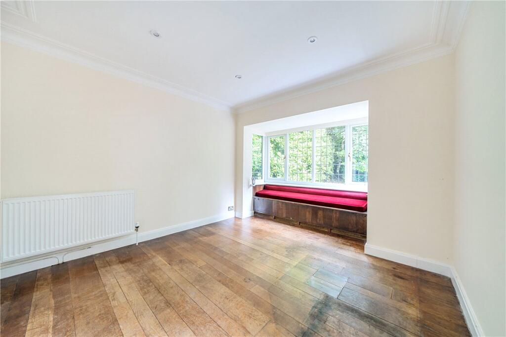
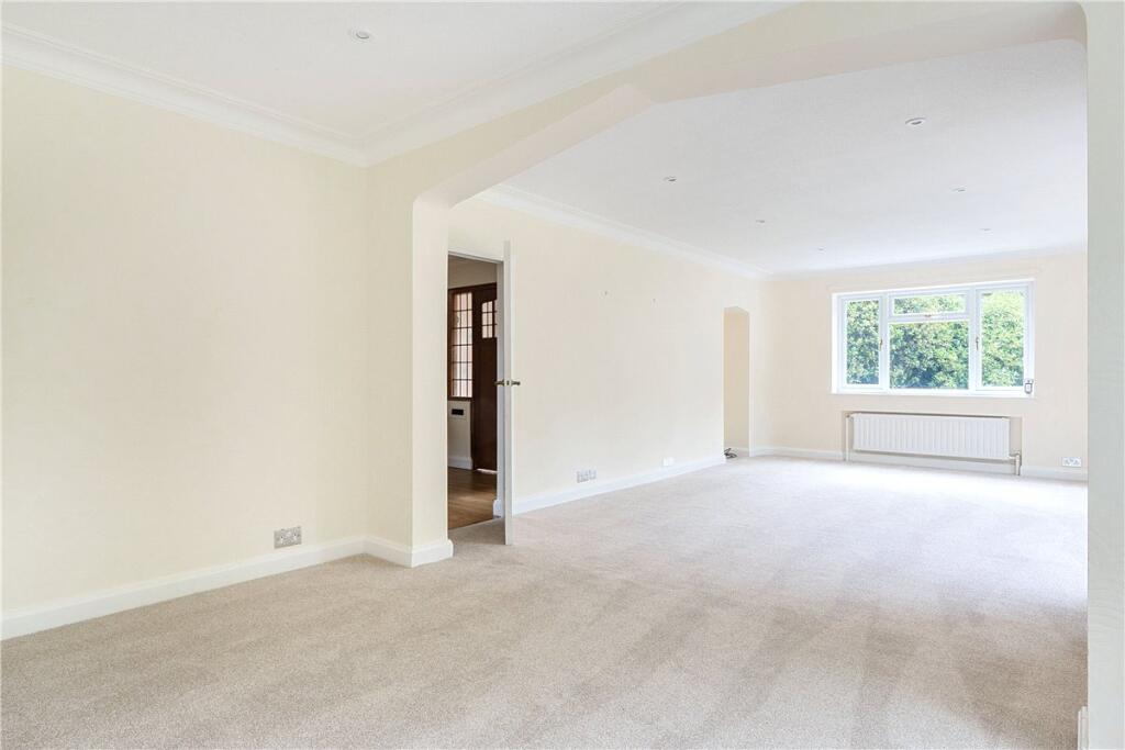
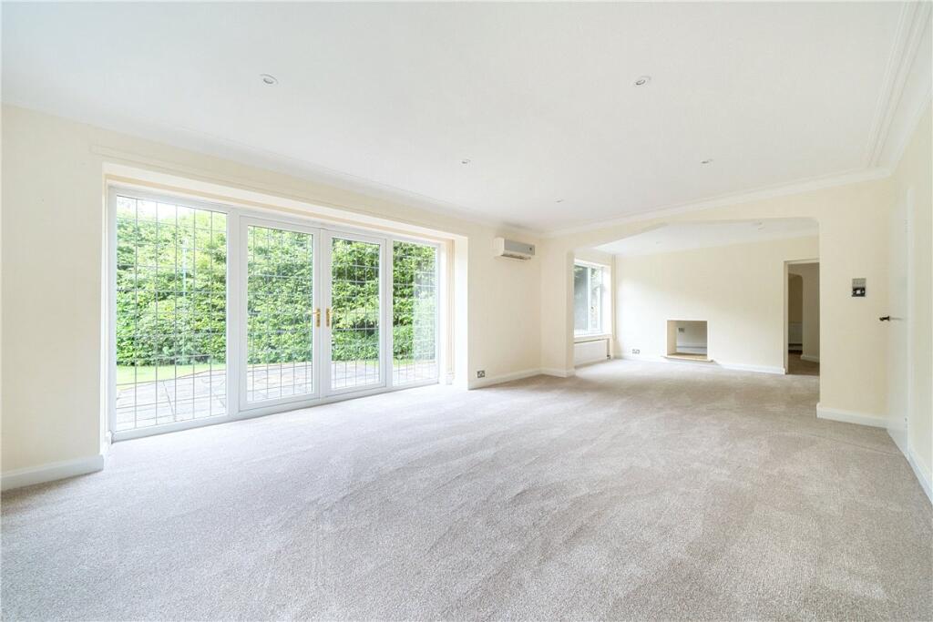
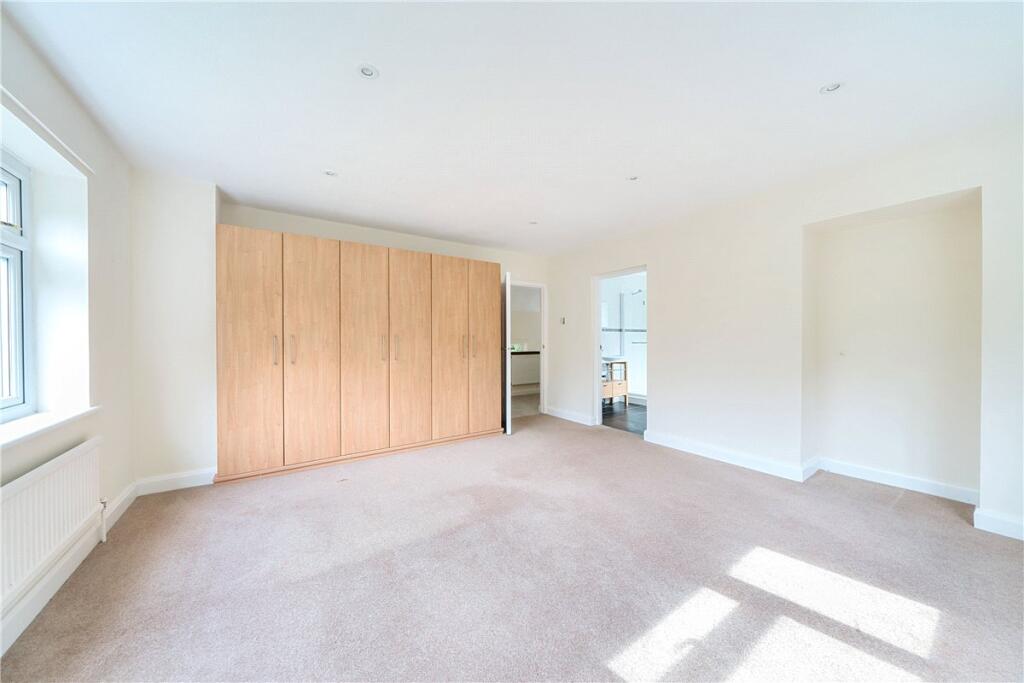
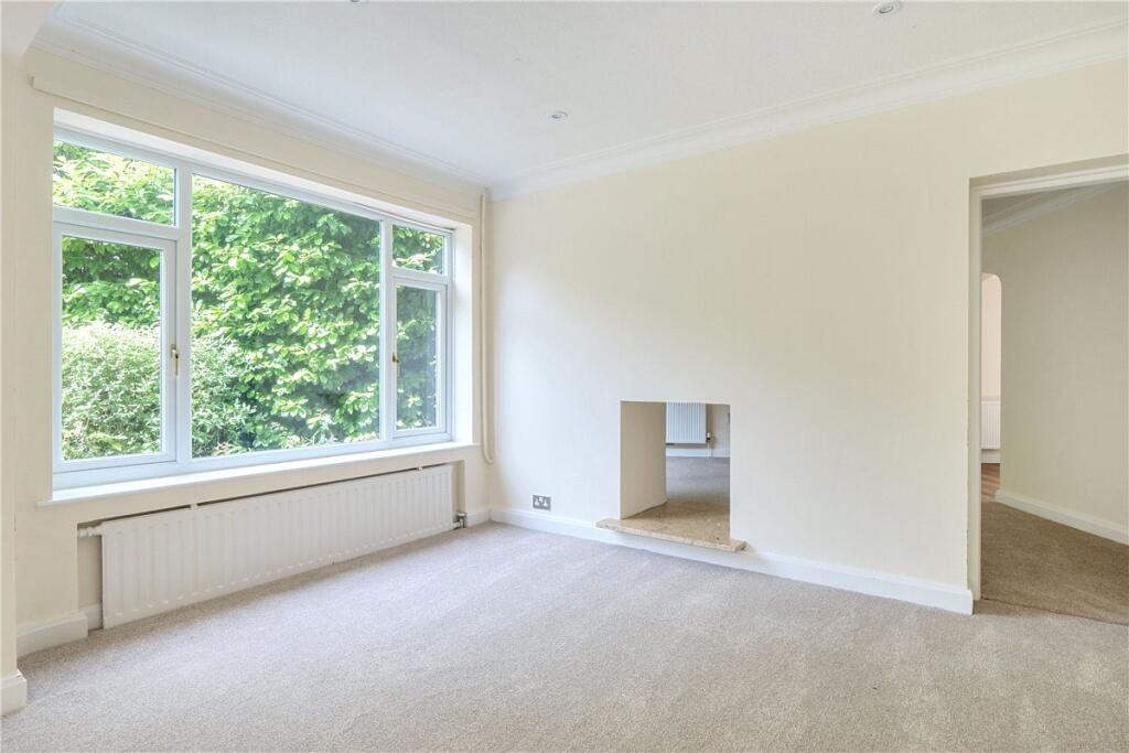
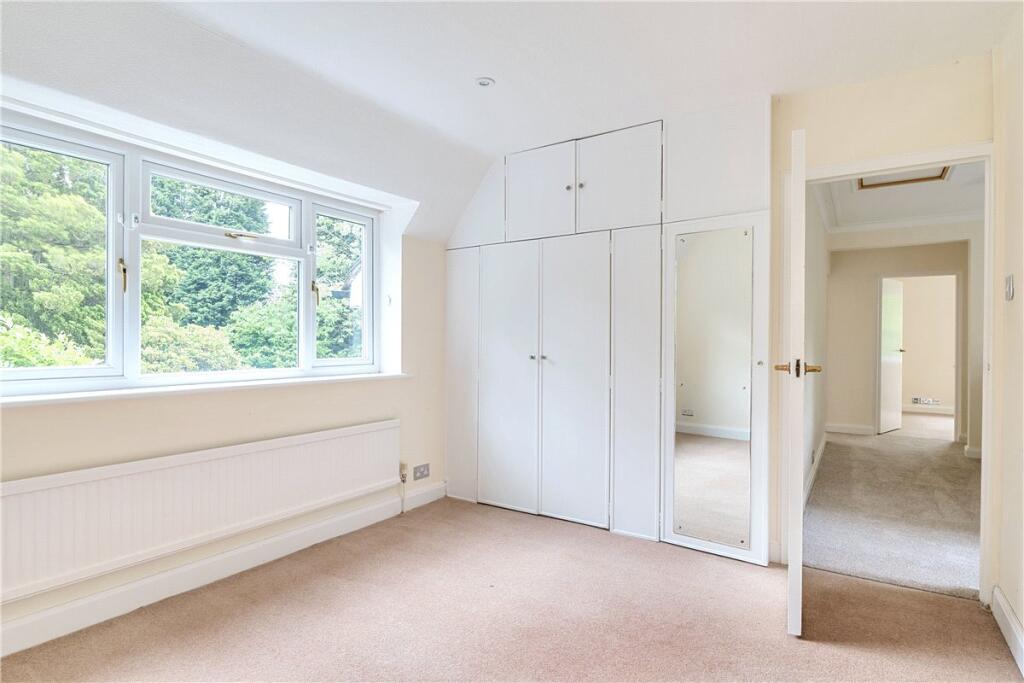
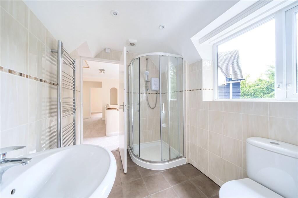
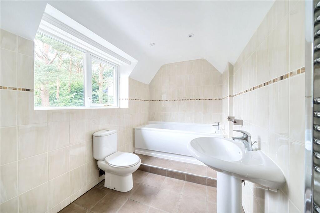
Floorplans
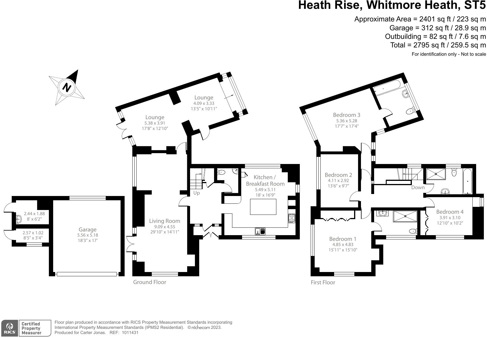
Floorplan
EPC Graphs
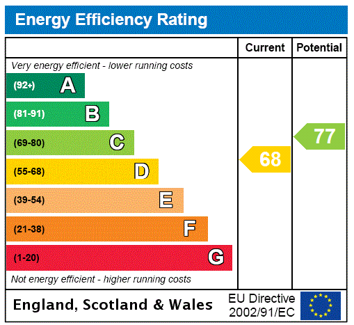
EPC Rating Graph
Rental Range
Estimated market rent for Newcastle-under-Lyme. Low = conservative, Realistic = average, Optimistic = best case.
Based on Local Authority from postcode lookup → Newcastle-under-Lyme.
LHA (30th percentile) floor for Staffordshire North: £798/mo (Apr 2025 – Mar 2026)
Location
Nearby
Nearest stations, universities and amenities (distance from property).
| Type | Name | Distance |
|---|---|---|
| Bus stop | Common Lane | 0.4 miles |
| Shop | Station Stores | 0.5 miles |
| Shop | Baldwins Gate Filling Station | 0.6 miles |
| University | Keele University | 2.7 miles |
| Hospital | North Staffordshire Nuffield Hospital | 3.6 miles |
| Train station | Trentham Leisure | 4.4 miles |
| Hospital | Royal Stoke University Hospital | 4.5 miles |
| Train station | Unknown | 4.5 miles |
| University | University of Staffordshire Stoke Campus | 5.9 miles |
Street-level crime
Crime data is not yet available for this property.
Rental Comparables
Residential lets from OpenRent and Rightmove for the area (same bedroom count). Use to validate rent estimates. Student lets are excluded.
| Title | Rent | Beds | As seen on |
|---|---|---|---|
| Car Park Lymedale Cross Industrial Estate, Newcastle Under Lyme ST5 | £1/mo | — | Rightmove |
| The Coach House, Butterton, Newcastle Under Lyme, Staffordshire, ST5 | £4,995/mo | 4 | Rightmove |
| Aspen Rise, Clayton | £1,995/mo | 4 | Rightmove |
| Stableford, Newcastle-Under-Lyme, Staffordshire, ST5 | £1,400/mo | 4 | Rightmove |
| Snowgoose Way, Newcastle | £1,700/mo | 4 | Rightmove |
| 9 Rothesay Court, Rothesay Av, Westlands, ST5 2LX | £210/mo | — | Rightmove |
| Whitmore Heath, Newcastle, Staffordshire, ST5 | £1,800/mo | 4 | Rightmove |
| Newcastle Road, Whitmore, Newcastle, Staffordshire, ST5 | £2,700/mo | — | Rightmove |
Average rent: £1,850/mo (8 listings)
Enter House Number
Enter the house number to help us retrieve more accurate pricing history and property data.
Please log in to submit or correct the house number for this listing.
Log in to continue