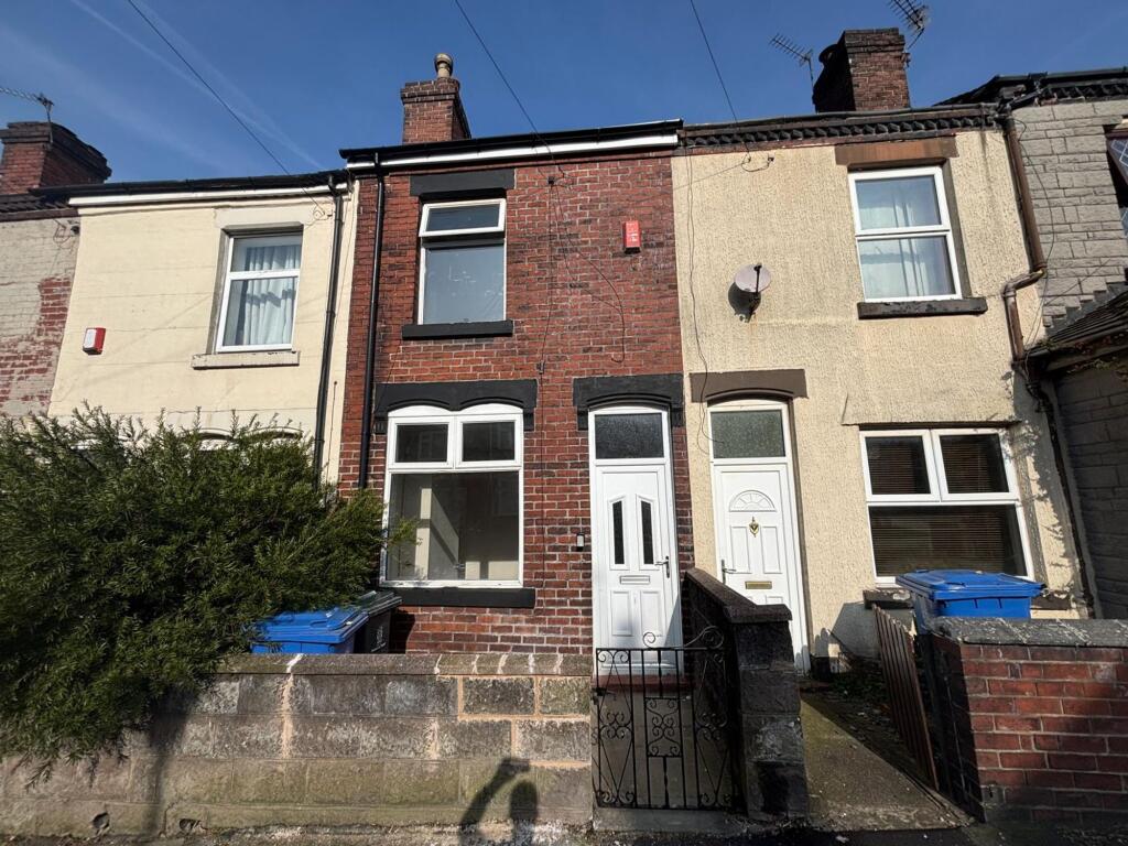
103 MACCLESFIELD STREET
STOKE-ON-TRENT, STOKE-ON-TRENT, STOKE-ON-TRENT ST6 1HX
£725 pcm

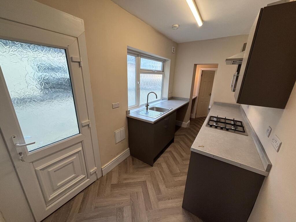

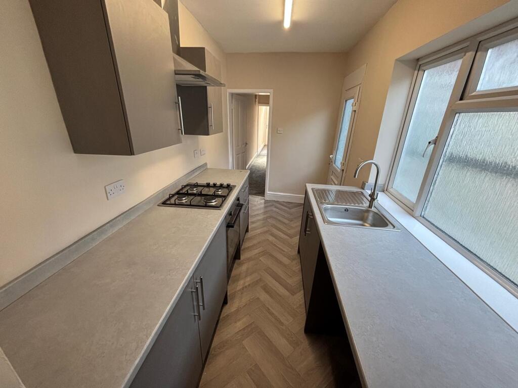
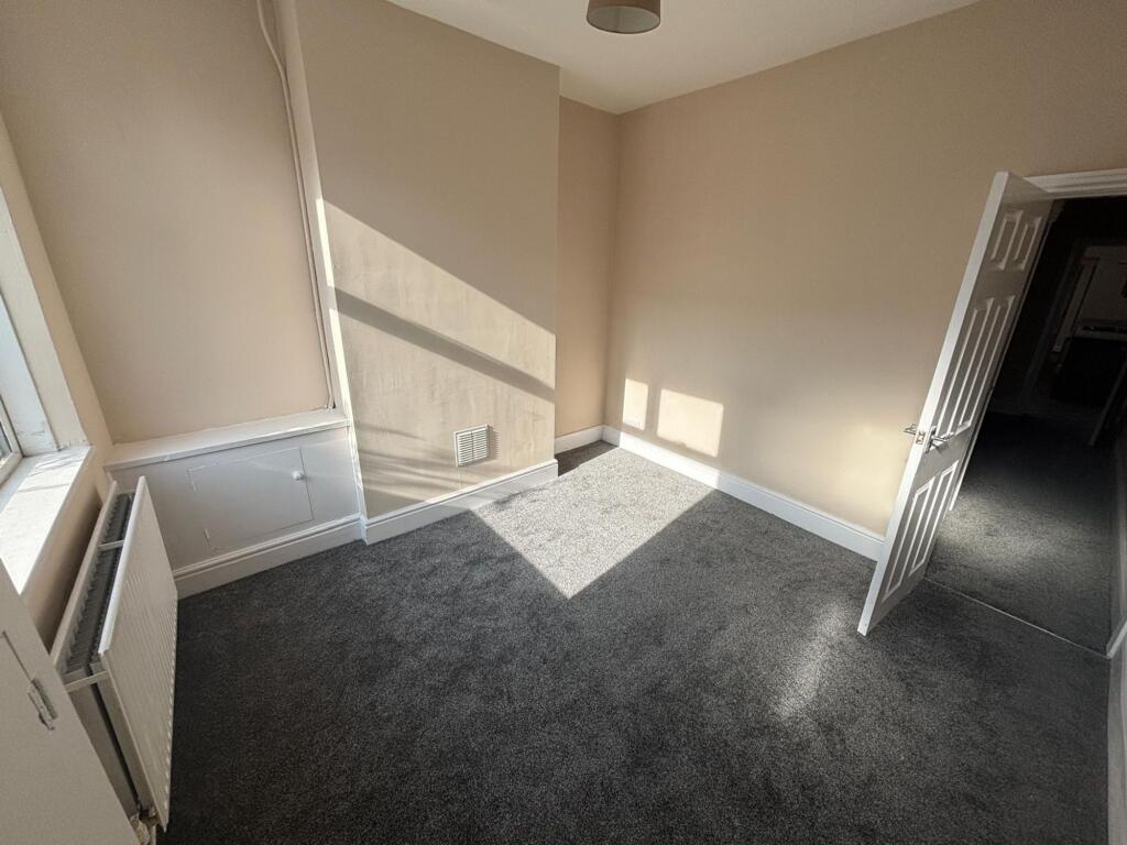
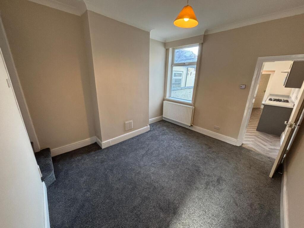
Property details
Floor area
72 m²
Council tax band
A
Deprivation
Decile 1 (2,423 of 33,755)
Street crime
377 incidents within 1 mile (Apr 2026)
Key features
- NO DEPOSIT OPTION AVAILABLE
- Available Now
- Located in a quiet residential area
- Excellent access to local schools, shops and transport links
Additional details
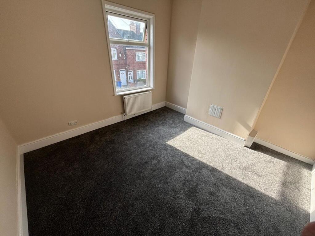
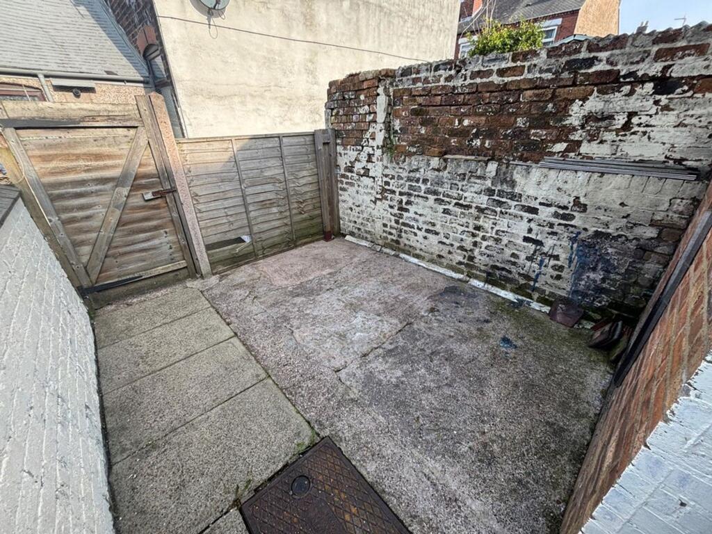
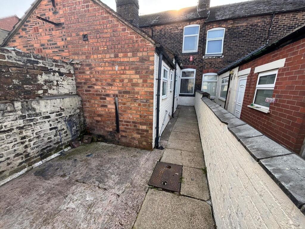
- Garden
- Yes
- Listed property
- No
- Restrictions
- No
- Required access
- No
- Rights of way
- No
- Flooded in last 5 years
- No
- Flood defences
- No
Description
Holding Deposit: £173.07 | Rent - £725pcm | Deposit: £836.53 or No Deposit Option Available | EPC Rating D | Council Tax Band A | Available Now
EPC Rating: D
Listed by
Nottingham
ForTheLandlords.com Ltd
Reference: 88789329
EPC Rating & Upgrade Cost
Fetching EPC data… Refresh this page in a moment.
Flood risk
Zone: 1
Risk: Low
Job (default Low)
Rental Range
Estimated market rent for Stoke-on-Trent. Low = conservative, Realistic = average, Optimistic = best case.
Based on Local Authority from postcode lookup → Stoke-on-Trent.
LHA (30th percentile) floor for Staffordshire North: £479/mo (Apr 2025 – Mar 2026)
Location
Nearby
Nearest stations, universities and amenities (distance from property).
| Type | Name | Distance |
|---|---|---|
| Bus stop | High Lane / Dartmouth Street | 0.1 miles |
| Bus stop | Dartmouth Street | 0.1 miles |
| Shop | 7 till 11 | 0.3 miles |
| Shop | Annie's 'Airdressers | 0.3 miles |
| Hospital | Haywood Hospital Walk-in Centre | 0.5 miles |
| Train station | Longport | 1.5 miles |
| Train station | Stoke-on-Trent | 2.9 miles |
| Hospital | Royal Stoke University Hospital | 3.4 miles |
| University | Keele University | 4.9 miles |
| University | Buxton & Leek College | 7.8 miles |
Street-level crime
| Category | Count |
|---|---|
| Violence and sexual offences | 127 |
| Anti-social behaviour | 87 |
| Public order | 33 |
| Other theft | 24 |
| Shoplifting | 22 |
| Burglary | 19 |
| Criminal damage and arson | 19 |
| Vehicle crime | 18 |
| Drugs | 14 |
| Other crime | 5 |
| Robbery | 4 |
| Possession of weapons | 3 |
| Bicycle theft | 1 |
| Theft from the person | 1 |
| Total incidents | 377 |
Within 1 mile during Apr 2026. Source: data.police.uk (England & Wales).
Schools nearby
Nearest open schools with Ofsted ratings (England). Closed schools are not shown. Data from Get Information about Schools and Ofsted.
| Name | Type | Distance | Ofsted |
|---|---|---|---|
| The Valiant School | Other | 0.1 miles | — (No rating) |
| Jackfield Infant School | Primary | 0.1 miles | Good — 18 Jan 2023 |
| Moorpark Junior School | Primary | 0.2 miles | Good — 11 Jul 2016 |
| Haywood Academy | Secondary | 0.4 miles | Good — 14 Jun 2023 |
| North Road Academy | Other | 0.6 miles | Requires improvement — 2 Apr 2023 |
Rental Comparables
Residential lets from OpenRent and Rightmove for the area (same bedroom count). Use to validate rent estimates. Student lets are excluded.
Average rent: £748/mo (32 listings)