20
ROYAL AVENUE, URMSTON, MANCHESTER M41 9JW
£425,000
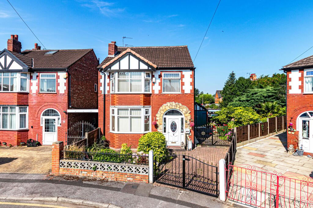
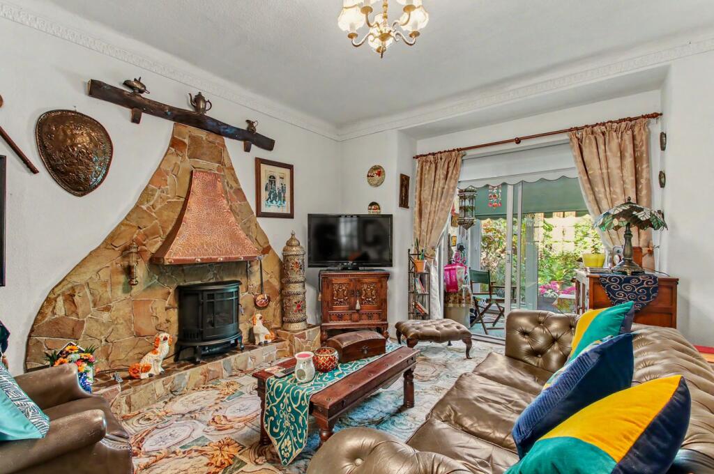
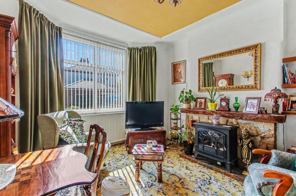
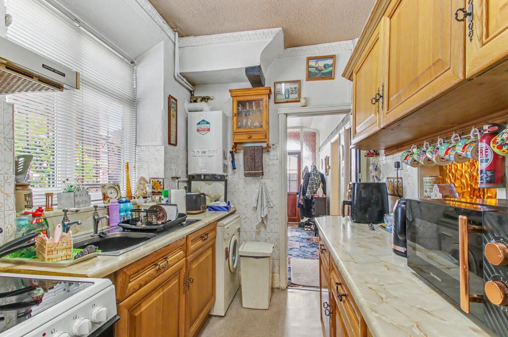
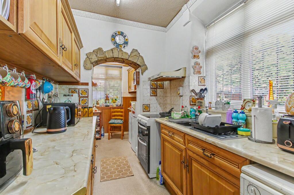
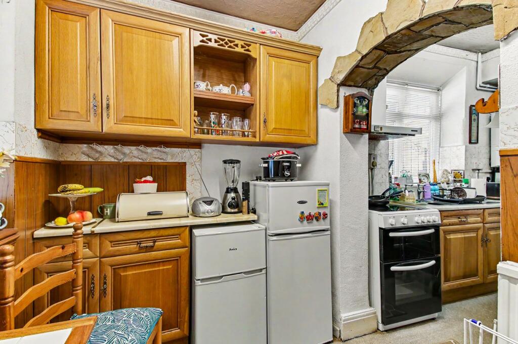
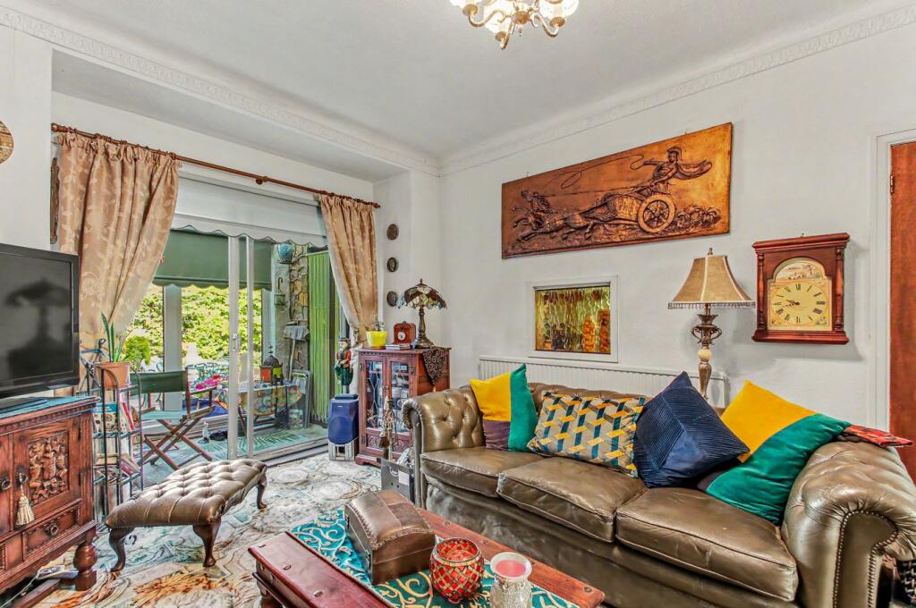
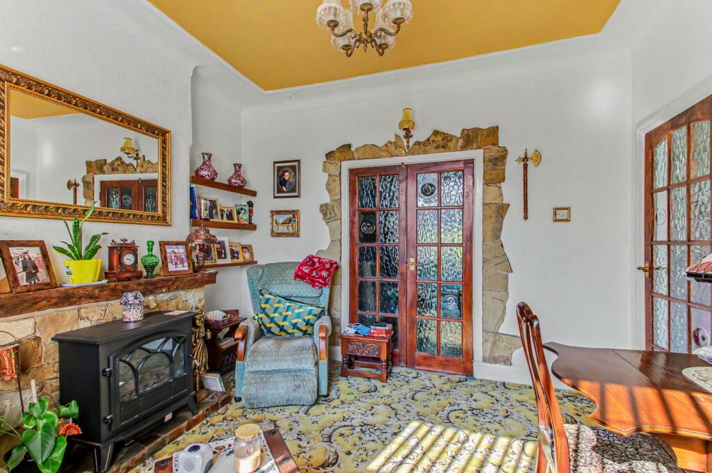
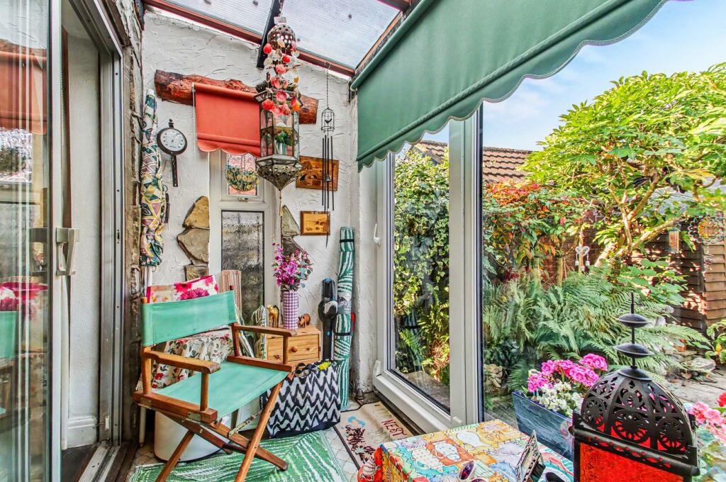
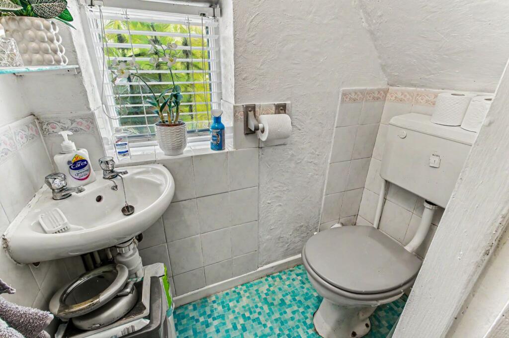
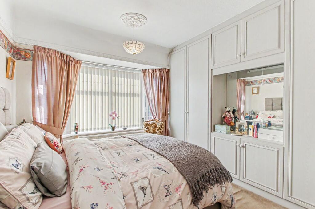
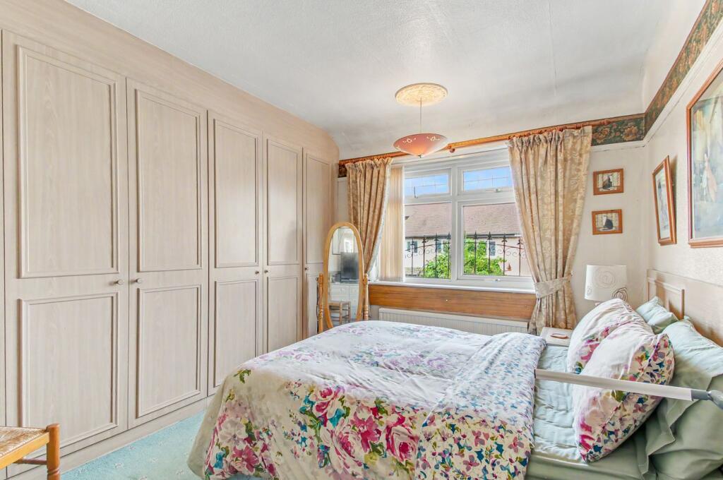
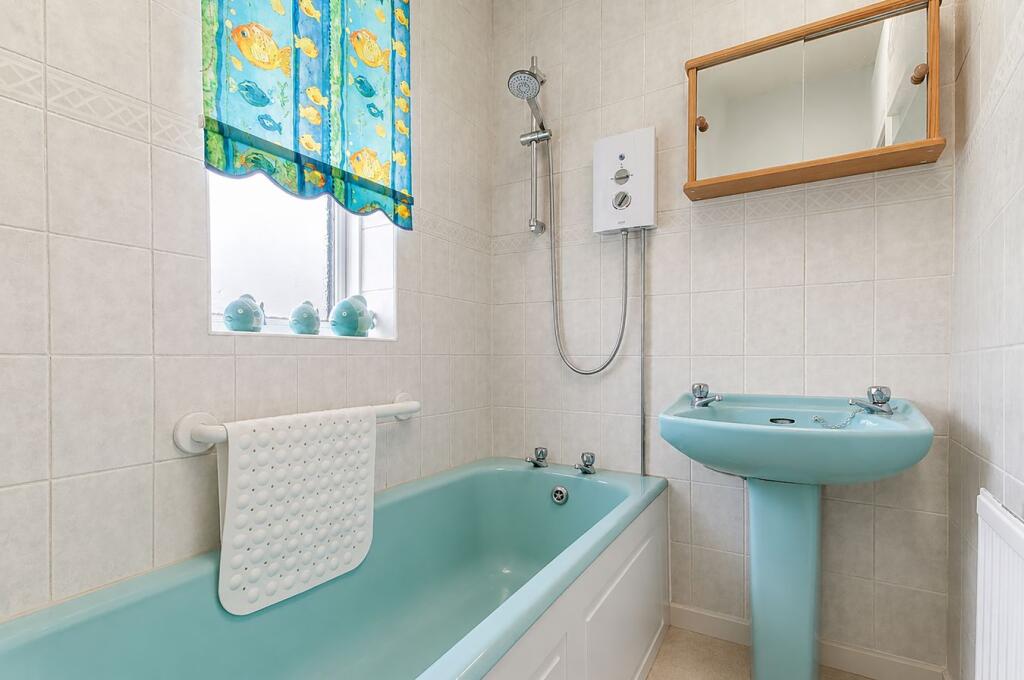
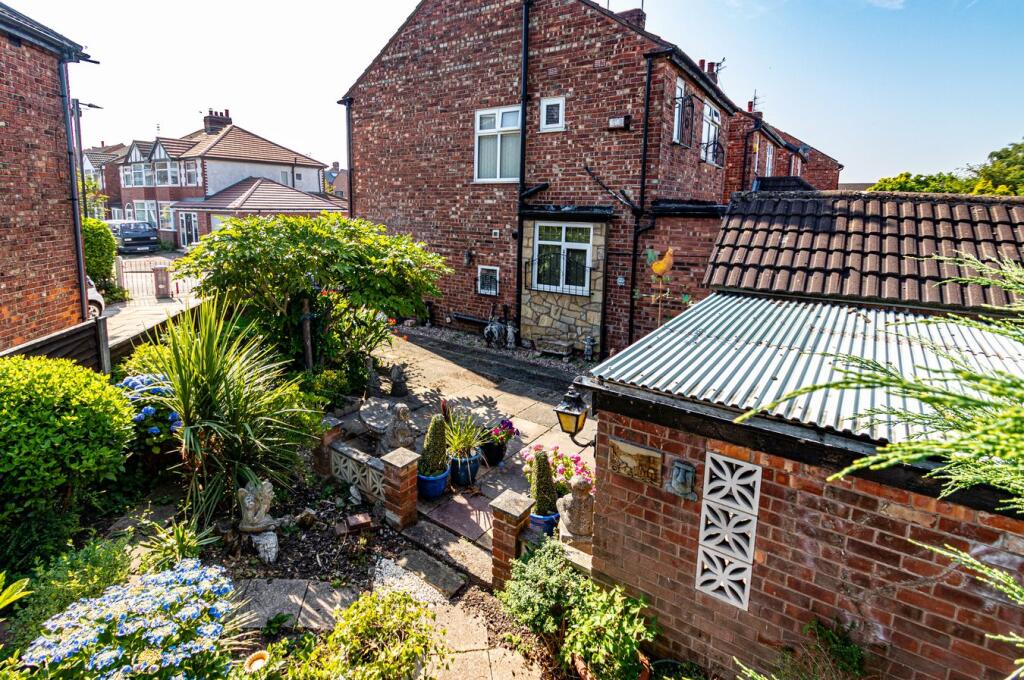
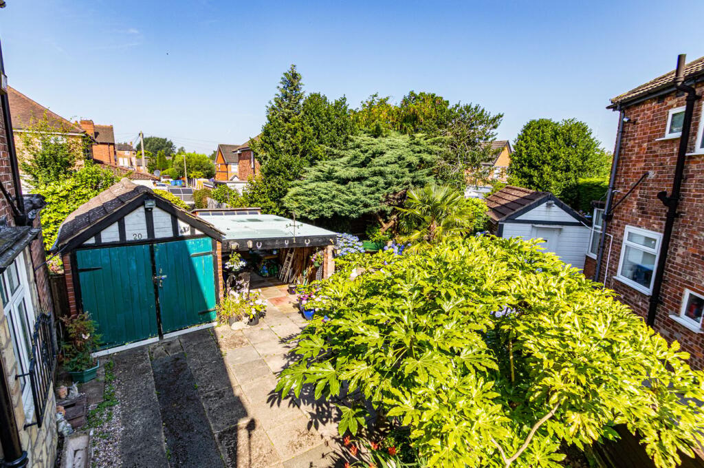
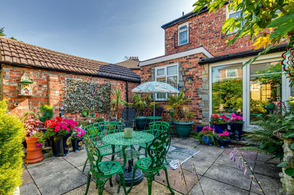
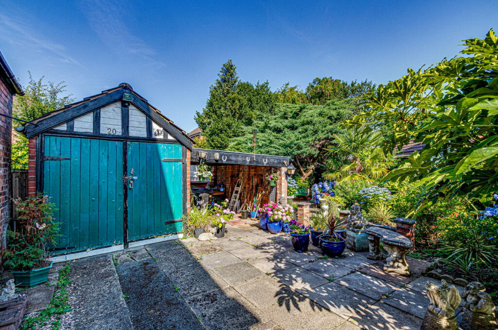
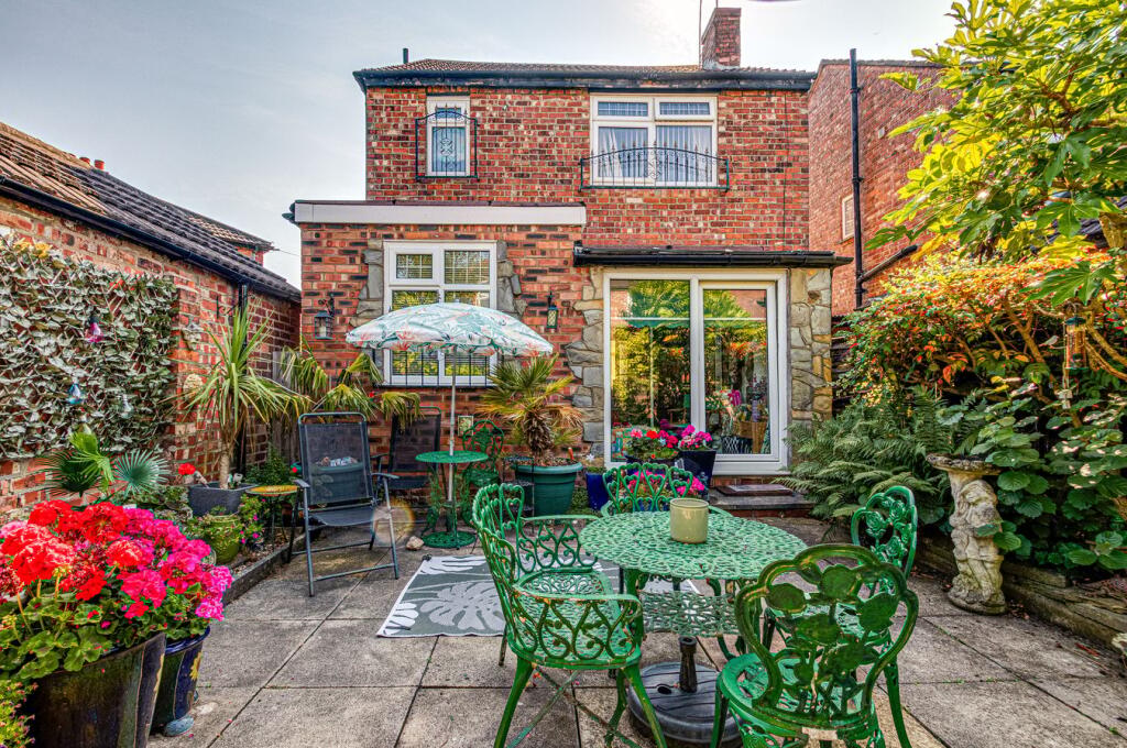
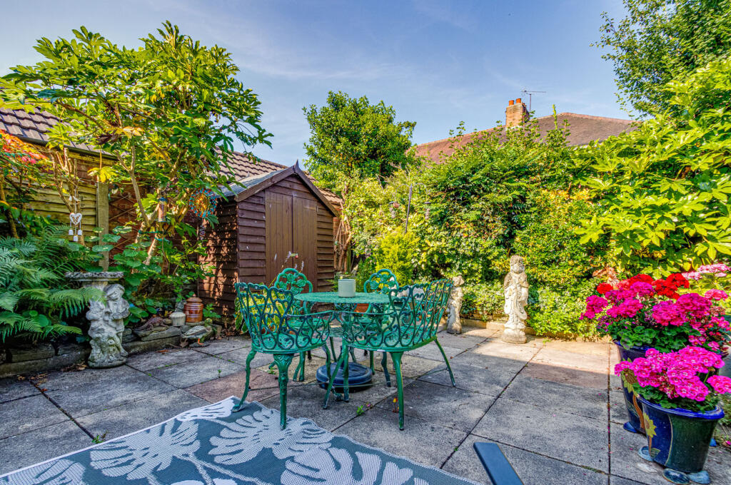
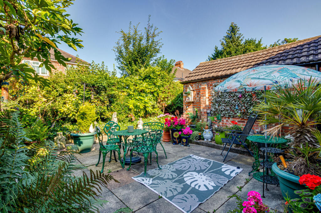
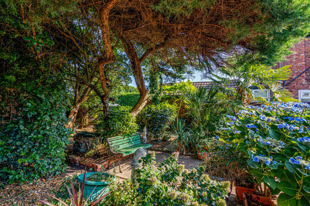
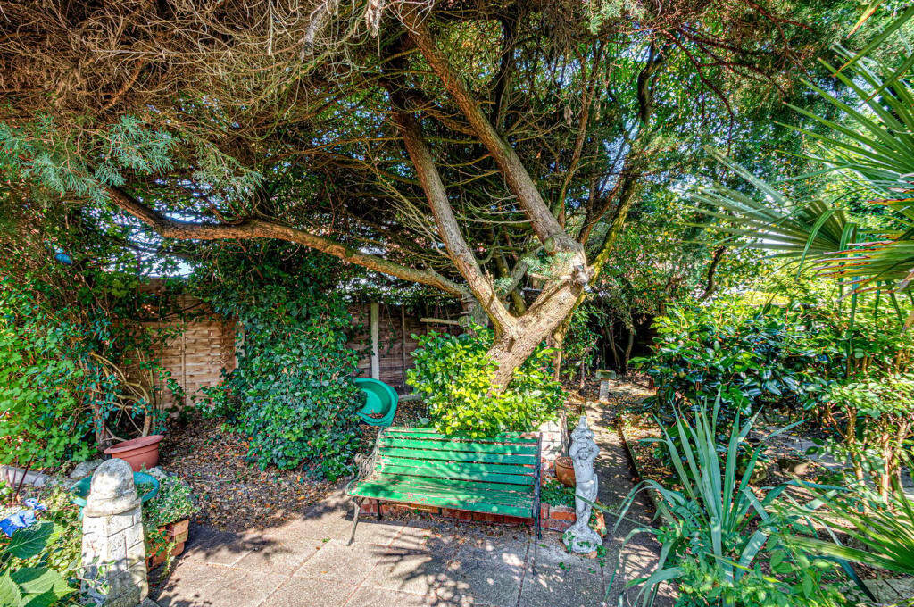
Photo 1 Photo 2 Photo 3 Photo 4 Photo 5 Photo 6 Photo 7 Photo 8 Photo 9 Photo 10 Photo 11 Photo 12 Photo 13 Photo 14 Photo 15 Photo 16 Photo 17 Photo 18 Photo 19 Photo 20 Photo 21 Photo 22 Photo 23
/ 23
Property details
Tenure
LEASEHOLD
Floor area
105 m²
Council tax band
D
EPC rating
D
Year built
England and Wales: 1930-1949
Price per m²
£4,048/m²
Local average
£546,731 (-22.3%)
Deprivation
Decile 7 (21,775 of 33,755)
Street crime
0 incidents within 1 mile (May 2026)
Key features
- Three bedrooms
- Detached family home
- Quiet Central cul-de-sac
- Three reception rooms
- Mature rear garden
- Driveway and detached garage
- Scope to modernise
- Gas central heating
- Walk into Urmston
- Viewing recommended
Additional details
- Electricity
- Mains supply
- Water
- Mains supply
- Sewerage
- Mains supply
- Heating
- Gas central
- Parking
- Yes
- Garden
- Yes
- Listed property
- No
- Restrictions
- No
- Required access
- No
- Rights of way
- No
- Flooded in last 5 years
- No
- Flood defences
- No
Description
Listed by
South Manchester
VitalSpace
Reference: 90834915
EPC Rating & Upgrade Cost
Current rating: D
Potential rating: C
Inspection date: 14/12/2015
Expiry date: 13/12/2025 (expired)
Current heating cost: £976/year
Potential heating cost: £670/year
Est. upgrade cost to C: £13,565
Recommendations
- Cavity wall insulation (£500 - £1,500)
- Floor insulation (suspended floor) (£800 - £1,200)
- Low energy lighting for all fixed outlets (£65)
- Solar water heating (£4,000 - £6,000)
- Solar photovoltaic panels, 2.5 kWp (£5,000 - £8,000)
Flood risk
Zone: 1
Risk: Low
Job (default Low)
Floorplans
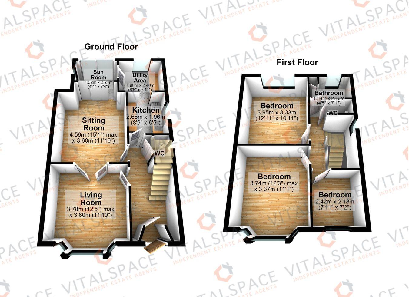
Floorplan 1
Price history
| Event | Date | Price | % change |
|---|---|---|---|
| Listed for sale | — | £425,000 | — |
Source: HM Land Registry Price Paid Data. Crown copyright.
Sold Comparables
Sold comparables data is not available for this property.
Capital growth trend
Land Registry outcode average: last 12 months vs 5y and 10y ago (from sold prices).
House Price Index (HM Land Registry — official index, not sold-price averages): Trafford. Series: Detached. As of April 2026.
Rental Range
Estimated market rent for Trafford. Low = conservative, Realistic = average, Optimistic = best case.
Based on Local Authority from postcode lookup → Trafford.
LHA (30th percentile) floor for Central Greater Manchester: £947/mo (Apr 2025 – Mar 2026)
Location
Address
20 Royal Avenue
Nearby
Nearest stations, universities and amenities (distance from property).
| Type | Name | Distance |
|---|---|---|
| Shop | Sixth Element | 0.1 miles |
| Shop | Urmston's Motor Store | 0.1 miles |
| Bus stop | Church Road/Queens Road | 0.1 miles |
| Train station | Urmston | 0.1 miles |
| Train station | Chassen Road | 0.6 miles |
| Hospital | Salford Gastric Bypass Surgery | 3.7 miles |
| Hospital | Altrincham Health and Wellbeing Centre | 4.2 miles |
| University | Manchester School of Art | 5.0 miles |
| University | Manchester Metropolitan University | 5.1 miles |
Street-level crime
| Category | Count |
|---|---|
| Total incidents | 0 |
Within 1 mile during May 2026. Source: data.police.uk (England & Wales).
Schools nearby
Nearest open schools with Ofsted ratings (England). Closed schools are not shown. Data from Get Information about Schools and Ofsted.
| Name | Type | Distance | Ofsted |
|---|---|---|---|
| English Martyrs' RC Primary School | Primary | 0.2 miles | Good — 3 Apr 2013 |
| Urmston Primary School | Primary | 0.3 miles | Good — 12 Jul 2023 |
| Urmston Grammar Academy | Secondary | 0.4 miles | Good — 21 Sep 2022 |
| Davyhulme Primary School | Primary | 0.5 miles | Outstanding — 12 May 2024 |
| Highfield Primary School | Primary | 0.6 miles | Good — 10 Jan 2013 |
Rental Comparables
Loading rental comparables for this postcode. Refresh in a few minutes.
Rent-driven metrics
Based on Area rent estimate.
- Rent ratio — Monthly rent ÷ purchase price (1% rule). 1%+ = strong, 0.8–1% = okay, <0.8% = weak for cashflow.
- Max investor price — Rent ÷ 0.8%; the price at which rent would be 0.8% of price (Stoke-style target).
- Target investor price — Rent ÷ 1%; the price at which rent would be 1% of price (strong cashflow band).
- Gross yield — Annual rent as % of purchase price (no costs).