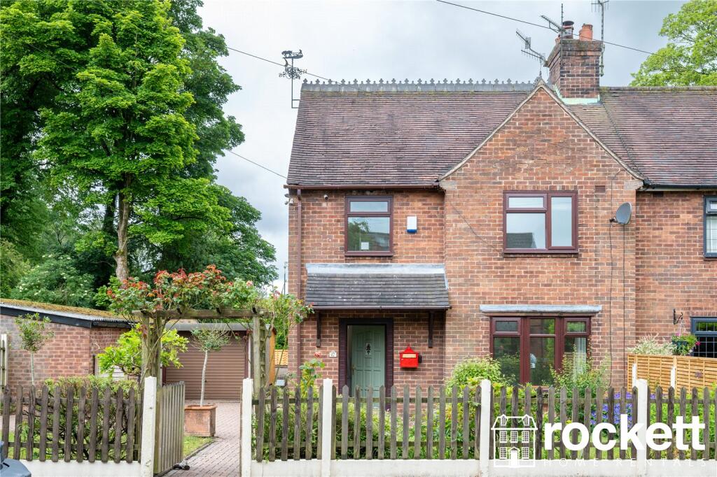
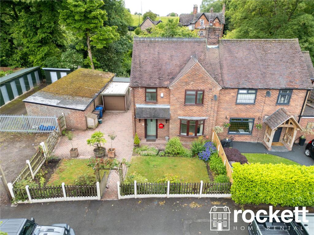
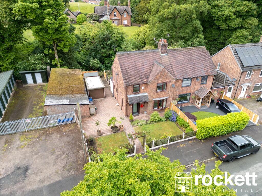
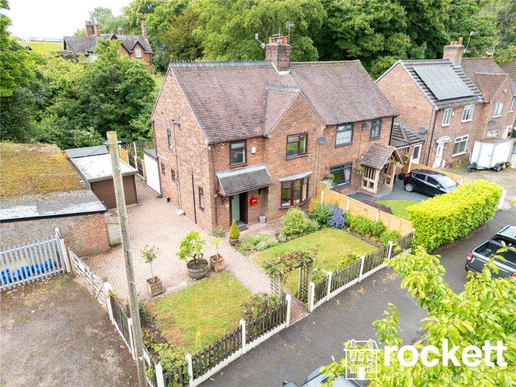
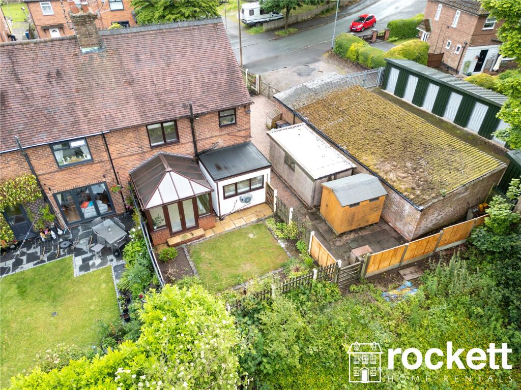
120 UNDERWOOD ROAD
NEWCASTLE, NEWCASTLE, STAFFORDSHIRE ST5 6QF
£1,395 pcm
Picture No. 03 Picture No. 11 Picture No. 14 Picture No. 16 Picture No. 06 Picture No. 07 Picture No. 08 Picture No. 09 Picture No. 10 Picture No. 12 Picture No. 17 Picture No. 18 Picture No. 19 Picture No. 20 Picture No. 21 Picture No. 22 Picture No. 23 Picture No. 24 Picture No. 25 Picture No. 26 Picture No. 27 Picture No. 28 Picture No. 29 Picture No. 30 Picture No. 31 Picture No. 32 Picture No. 33 Picture No. 34 Picture No. 35 Picture No. 36 Picture No. 37
/ 31
Property details
Floor area
99 m²
Council tax band
A
EPC rating
B
Year built
England and Wales: 1950-1966
Deprivation
Decile 4 (10,985 of 33,755)
Street crime
58 incidents within 1 mile (Apr 2026)
Additional details
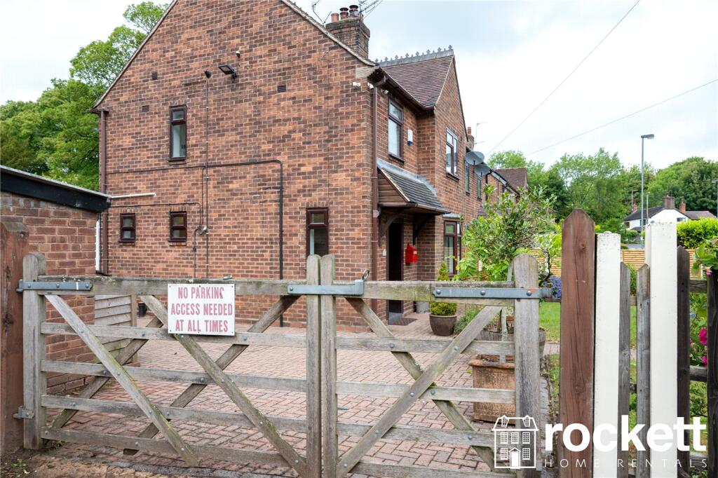
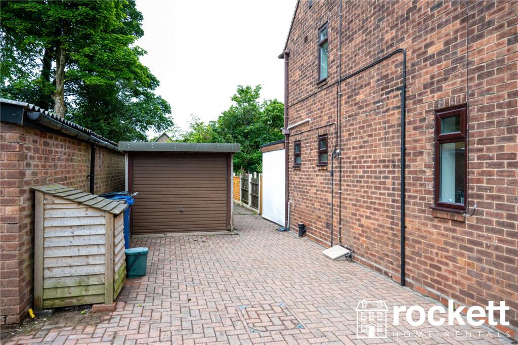
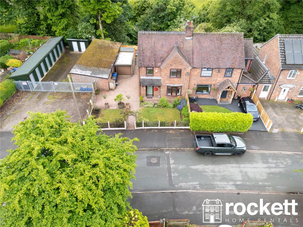
- Parking
- Garage, Driveway
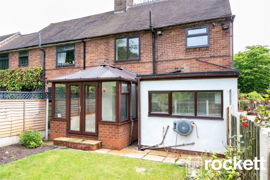
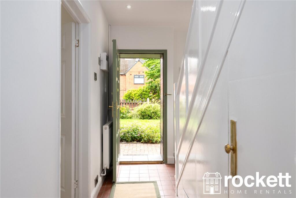
- Garden
- Yes
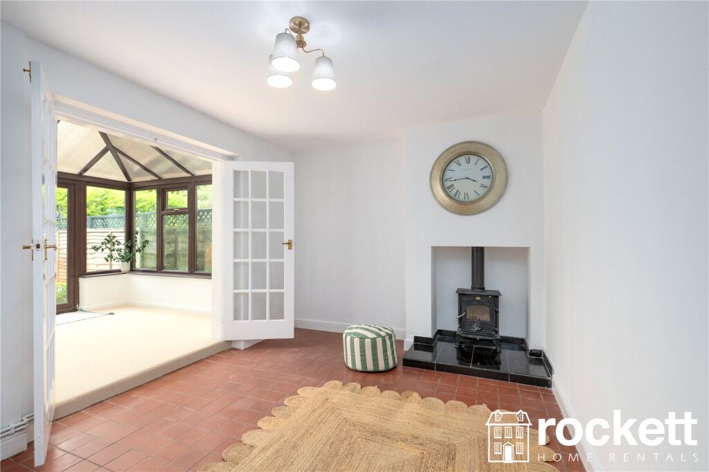
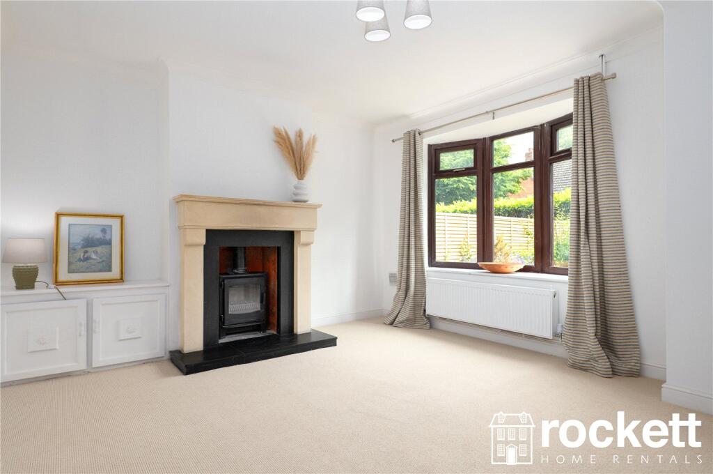
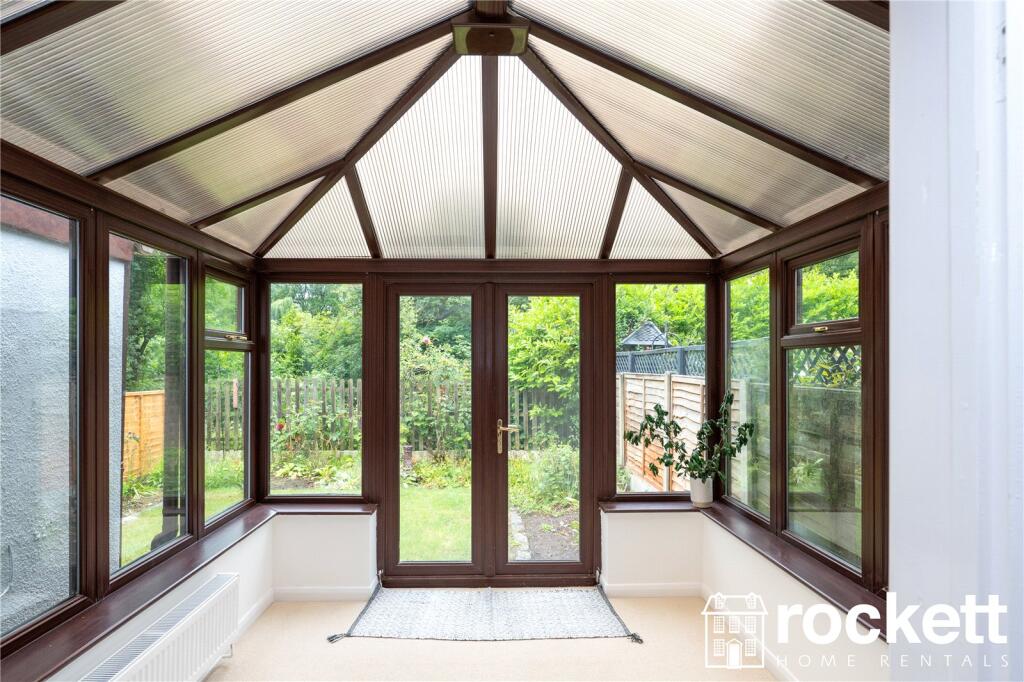
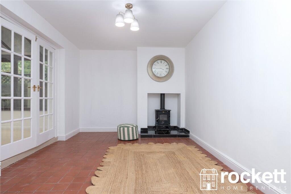
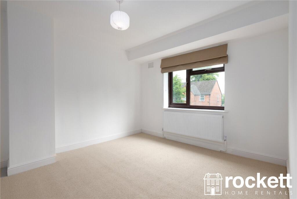
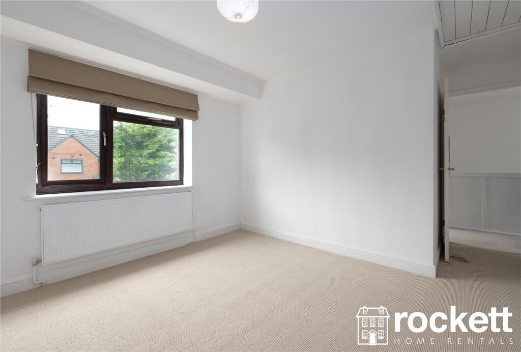
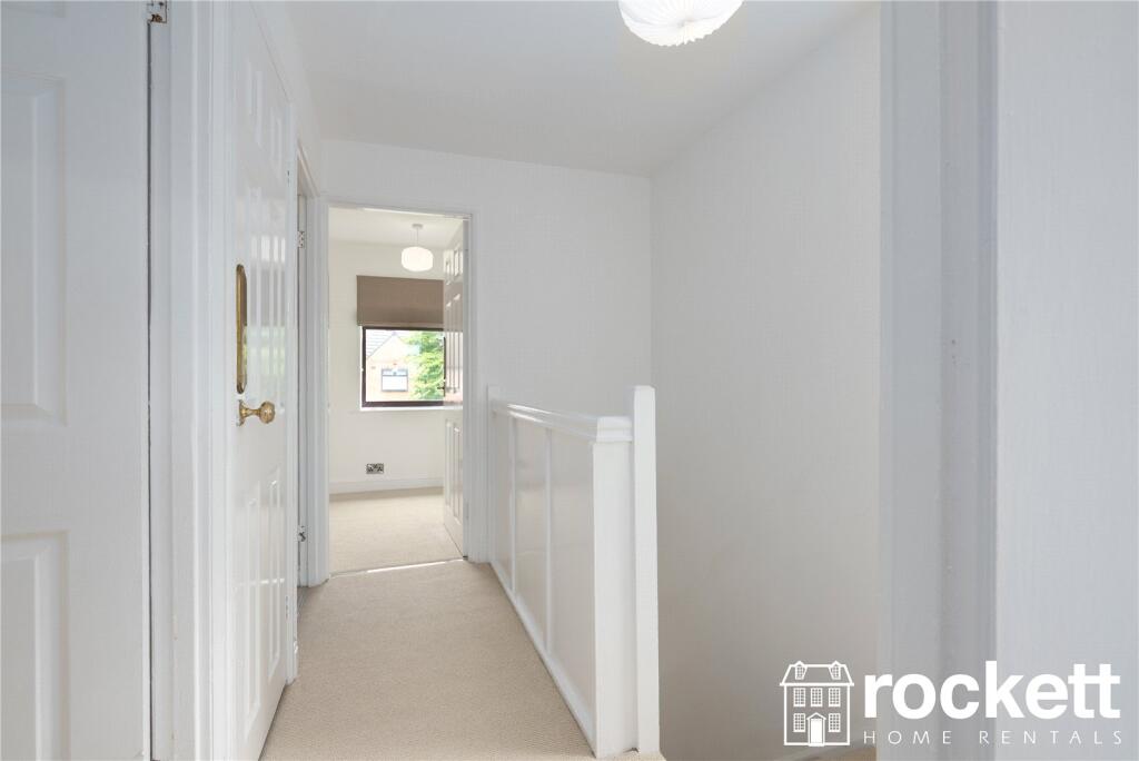
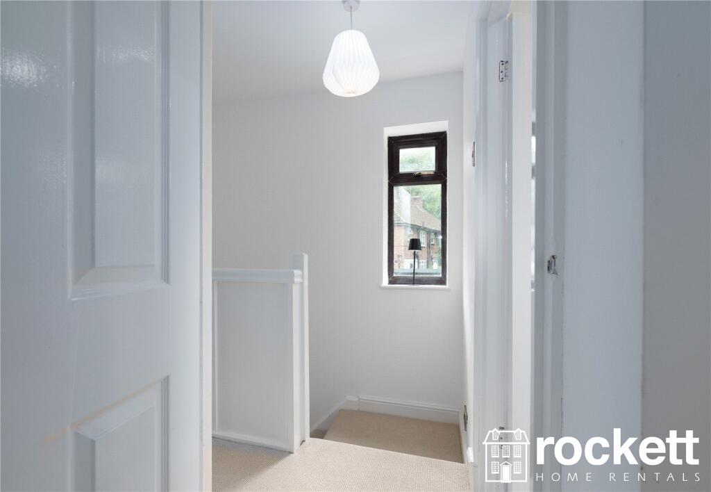
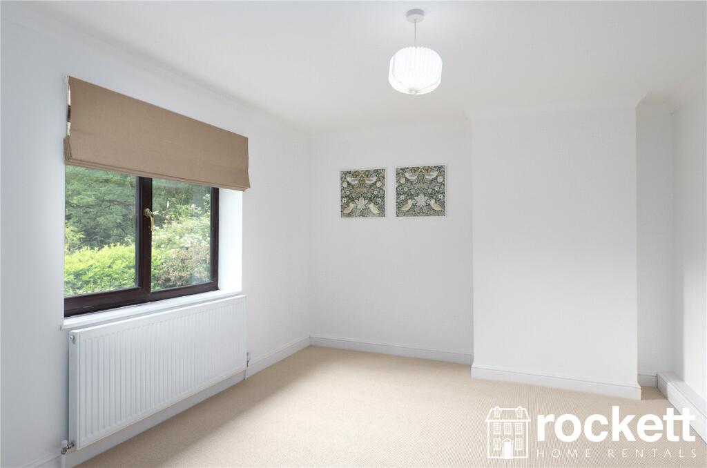
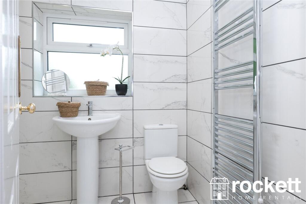
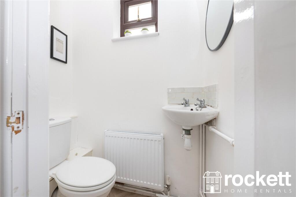
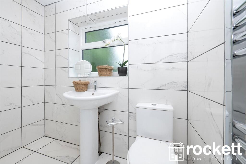
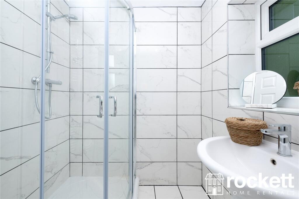
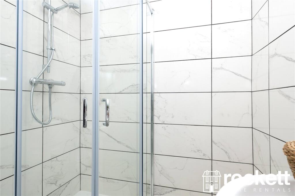
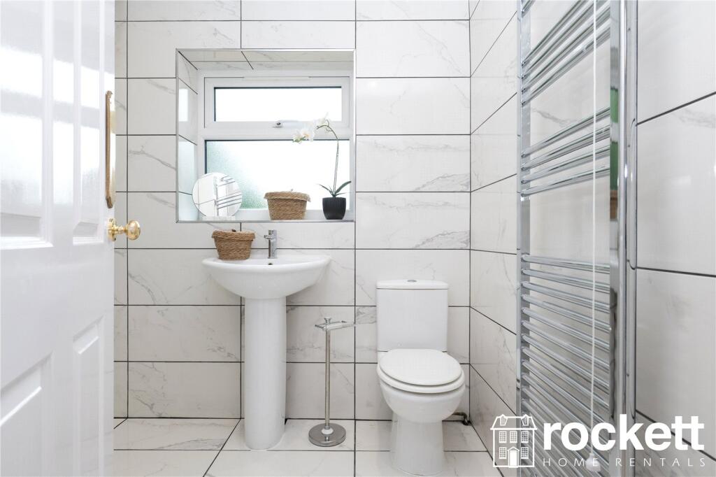
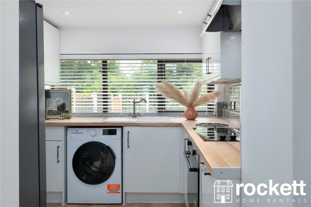
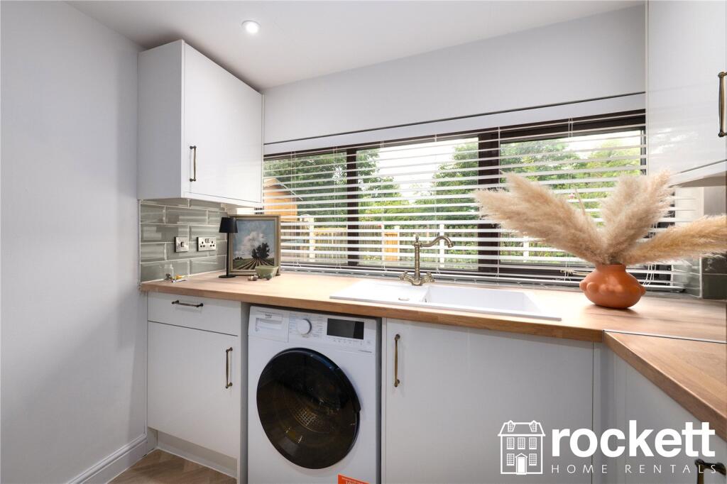
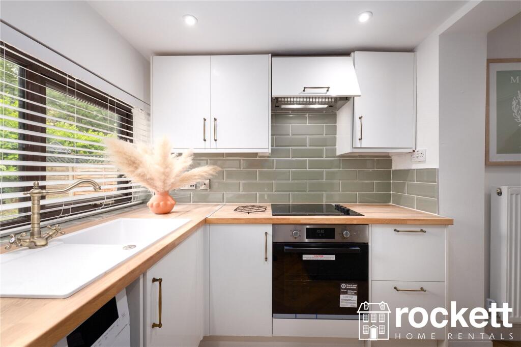
Description
This property is a short distance from Keele University, Newcastle-under-Lyme centre and the Royal Stoke University Hospital.
Please see a walkthrough video:
This property is managed by the landlord.
We have created a brochure full of lots of information on the property for you:
ROC250012
Listed by
Wolstanton
Rockett Home Rentals Ltd
Reference: 89787945
EPC Rating & Upgrade Cost
Current rating: B
Potential rating: B
Inspection date: 25/03/2013
Expiry date: 24/03/2023 (expired)
Current heating cost: £523/year
Potential heating cost: £476/year
Est. upgrade cost to C: £6,000
Recommendations
- Floor insulation (£800 - £1,200)
- Solar water heating (£4,000 - £6,000)
Flood risk
Zone: 1
Risk: Low
Job (default Low)
EPC Graphs
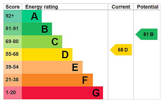
EPC Rating Graph
Rental Range
Estimated market rent for Newcastle-under-Lyme. Low = conservative, Realistic = average, Optimistic = best case.
Based on Local Authority from postcode lookup → Newcastle-under-Lyme.
LHA (30th percentile) floor for Staffordshire North: £593/mo (Apr 2025 – Mar 2026)
Location
Nearby
Nearest stations, universities and amenities (distance from property).
| Type | Name | Distance |
|---|---|---|
| Bus stop | Underwood Road | 0.1 miles |
| Shop | CB Grab and Go | 0.9 miles |
| Shop | Keele Students' Union Shop | 1.0 miles |
| Train station | Silverdale | 1.5 miles |
| Train station | Apedale Road | 1.7 miles |
| Hospital | Royal Stoke University Hospital | 3.1 miles |
| Hospital | North Staffordshire Nuffield Hospital | 3.2 miles |
| University | University of Staffordshire Stoke Campus | 4.7 miles |
| University | University of Buckingham Crewe Campus | 7.8 miles |
Street-level crime
| Category | Count |
|---|---|
| Violence and sexual offences | 27 |
| Anti-social behaviour | 14 |
| Other theft | 5 |
| Public order | 4 |
| Criminal damage and arson | 3 |
| Possession of weapons | 2 |
| Burglary | 1 |
| Drugs | 1 |
| Other crime | 1 |
| Total incidents | 58 |
Within 1 mile during Apr 2026. Source: data.police.uk (England & Wales).
Schools nearby
Nearest open schools with Ofsted ratings (England). Closed schools are not shown. Data from Get Information about Schools and Ofsted.
| Name | Type | Distance | Ofsted |
|---|---|---|---|
| St Luke's CofE (C) Primary School | Primary | 0.2 miles | Requires improvement — 26 Jan 2023 |
| St John's CofE (C) Primary School | Primary | 0.7 miles | Requires improvement — 13 Jul 2023 |
| University of Keele | Other | 0.9 miles | — (No rating) |
| Silverdale Primary Academy | Primary | 0.9 miles | Good — 29 Nov 2023 |
| Alsagers Bank Primary Academy | Primary | 1.4 miles | Good — 19 Nov 2012 |
Rental Comparables
Residential lets from OpenRent and Rightmove for the area (same bedroom count). Use to validate rent estimates. Student lets are excluded.
Average rent: £992/mo (37 listings)