53 WESTLAND STREET
STOKE-ON-TRENT, STOKE-ON-TRENT ST4 7HE
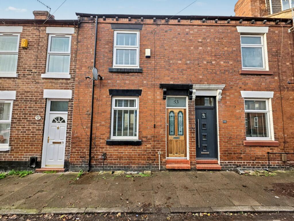
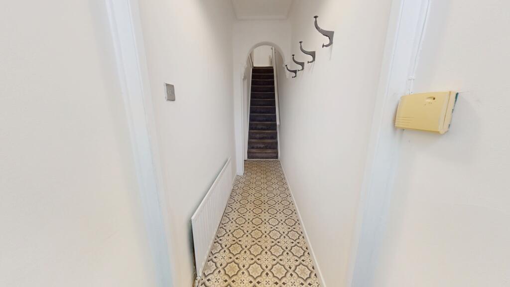
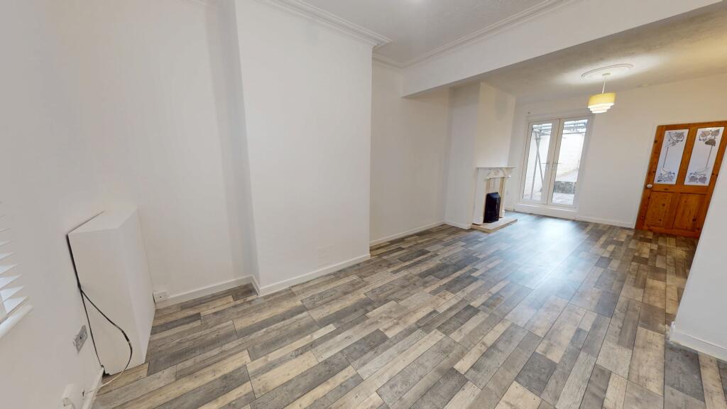
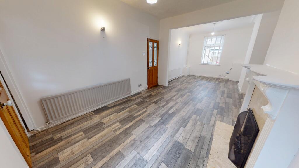
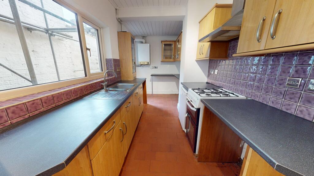
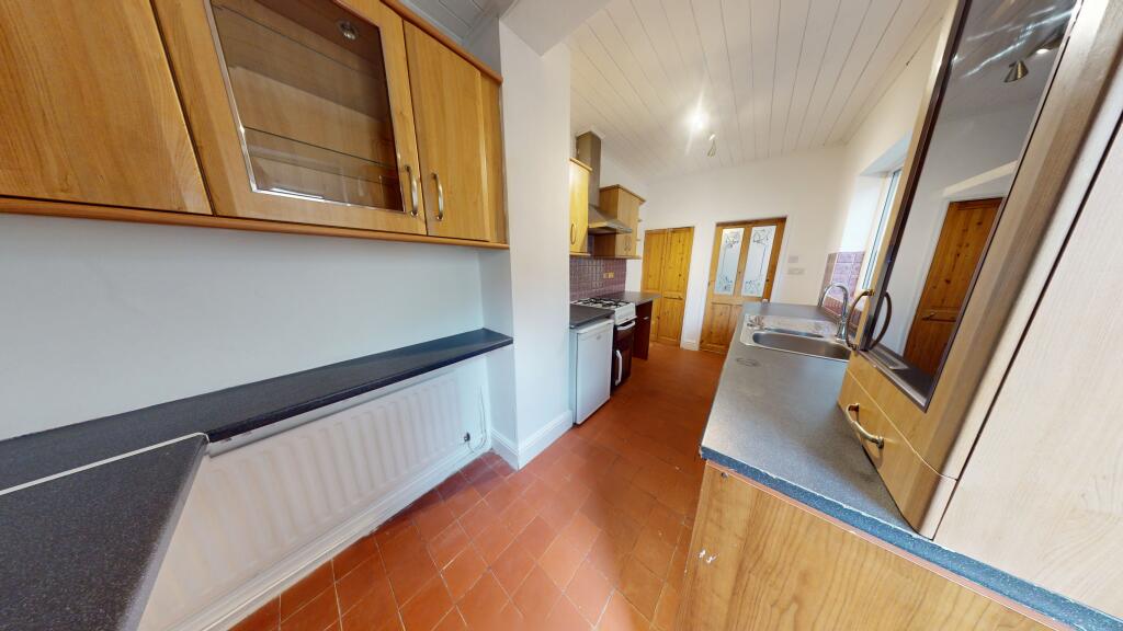
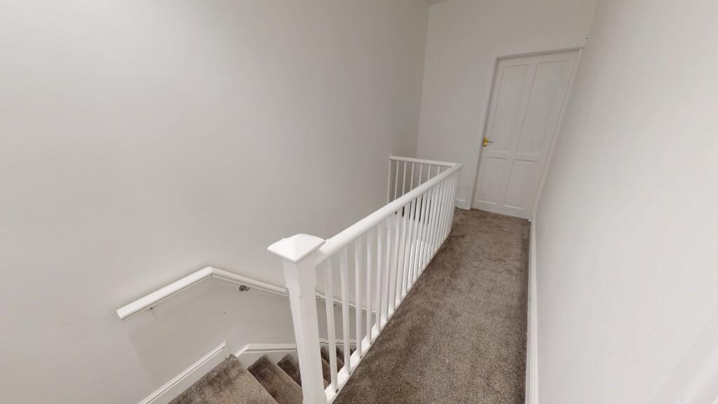
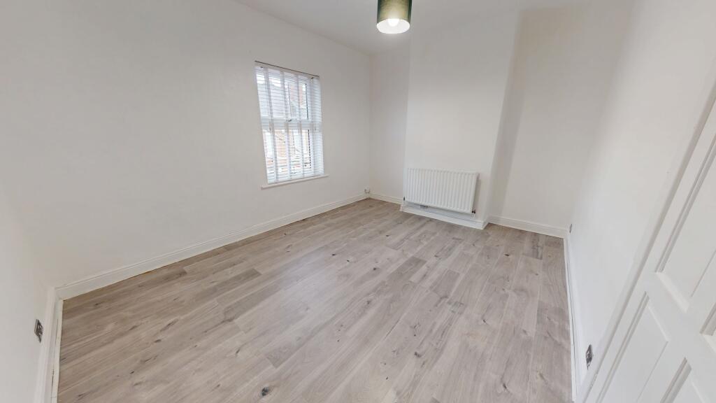
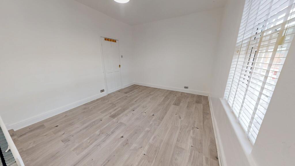
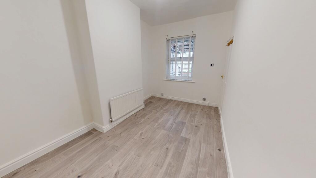
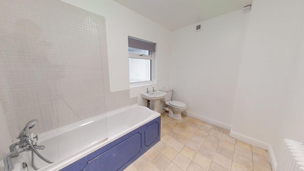
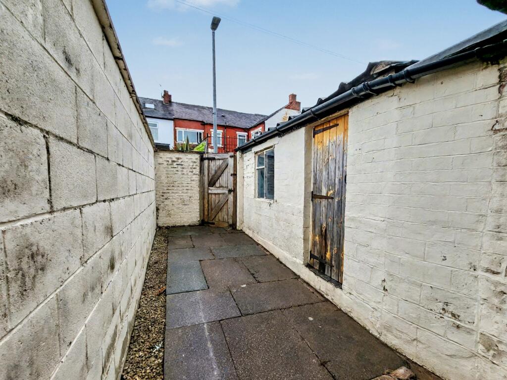
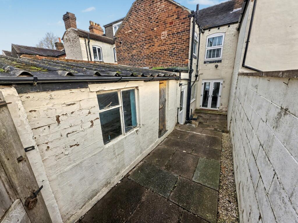
Photo 1 Photo 2 Photo 3 Photo 4 Photo 5 Photo 6 Photo 7 Photo 8 Photo 9 Photo 10 Photo 11 Photo 12 Photo 13
/ 13
Property details
Floor area
82 m²
Council tax band
A
Deprivation
Decile 6 (18,326 of 33,755)
Street crime
448 incidents within 1 mile (Mar 2026)
Key features
- First Floor Bathroom
- Open Plan Lounge
- Fitted Kitchen
- Two Bedrooms
- Entrance Hallway
- Private Rear Yard
- Recently Decorated Throughout
- Close to A500
- Close to Stoke Train Station
- Double Glazing & Gas Central Heating
Additional details
- Heating
- Gas central
- Parking
- On street
- Garden
- Private garden
Description
Listed by
Stoke-On-Trent
The Property Franchise Group
Reference: 168469712
EPC Rating & Upgrade Cost
Fetching EPC data… Refresh this page in a moment.
Flood risk
Zone: 1
Risk: Low
Job (default Low)
Floorplans

Floorplan
FENSA Certificates
This property has 1 FENSA certificate(s) on record, indicating window/door installations by FENSA-approved installers.
FENSA Certificate #8562910
Property Details
Street: 53 Westland Street
Town: STOKE-ON-TRENT
Postcode: ST4 7HE
Installation Details
Items: 5 windows and 1 door
Certificate Issued: 05/12/2011
Work Completed: 26/10/2011
This certificate data was retrieved from FENSA's database
What is FENSA? FENSA (Fenestration Self-Assessment Scheme) is a government-authorised scheme that monitors building regulation compliance for replacement windows and doors. Certificates indicate that work was completed by FENSA-approved installers.
Rental Range
Estimated market rent for Stoke-on-Trent. Low = conservative, Realistic = average, Optimistic = best case.
Based on Local Authority from postcode lookup → Stoke-on-Trent.
LHA (30th percentile) floor for Staffordshire North: £479/mo (Apr 2025 – Mar 2026)
Location
Nearby
Nearest stations, universities and amenities (distance from property).
| Type | Name | Distance |
|---|---|---|
| Shop | Theresa's Hairdressing Salon | 0.0 miles |
| Shop | Penkhull Food & Wine Store | 0.1 miles |
| Bus stop | Richmond Street | 0.2 miles |
| Bus stop | St Andrews Square | 0.2 miles |
| Train station | Stoke-on-Trent | 0.6 miles |
| University | University of Staffordshire Stoke Campus | 0.6 miles |
| Hospital | Royal Stoke University Hospital | 0.8 miles |
| Hospital | North Staffordshire Nuffield Hospital | 1.7 miles |
| Train station | Longton | 2.6 miles |
Street-level crime
| Category | Count |
|---|---|
| Violence and sexual offences | 164 |
| Public order | 52 |
| Anti-social behaviour | 51 |
| Shoplifting | 35 |
| Criminal damage and arson | 34 |
| Other theft | 32 |
| Burglary | 17 |
| Drugs | 14 |
| Vehicle crime | 13 |
| Other crime | 11 |
| Bicycle theft | 10 |
| Robbery | 9 |
| Possession of weapons | 5 |
| Theft from the person | 1 |
| Total incidents | 448 |
Within 1 mile during Mar 2026. Source: data.police.uk (England & Wales).
Schools nearby
Nearest open schools with Ofsted ratings (England). Closed schools are not shown. Data from Get Information about Schools and Ofsted.
| Name | Type | Distance | Ofsted |
|---|---|---|---|
| The Willows Primary School | Primary | 0.1 miles | Good — 14 Dec 2010 |
| St Thomas Aquinas Catholic Primary School | Primary | 0.4 miles | Good — 15 Jan 2023 |
| Thistley Hough Academy | Secondary | 0.5 miles | Good — 26 Apr 2017 |
| Staffordshire University | Other | 0.6 miles | — (No rating) |
| City of Stoke-On-Trent Sixth Form College | Other | 0.7 miles | — (No rating) |
Rental Comparables
Residential lets from OpenRent and Rightmove for the area (same bedroom count). Use to validate rent estimates. Student lets are excluded.
Average rent: £767/mo (55 listings)