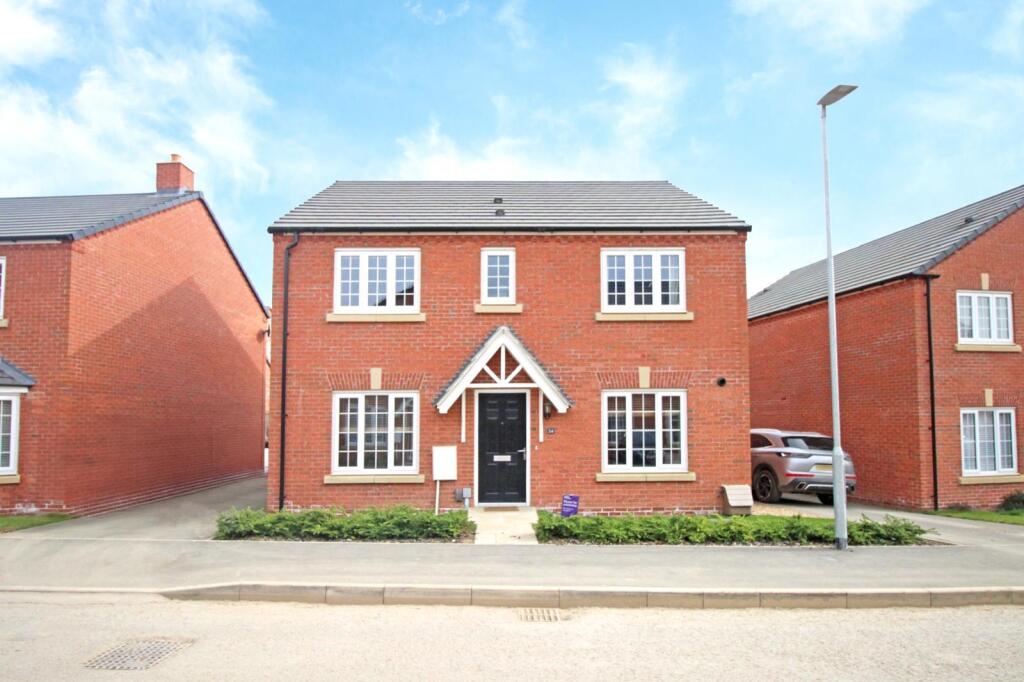
Stafford Way
Market Harborough, LE16 7EF
£2,000 pcm

5025e4d5-45ed-4dda-a26f-361be04c7e67.jpg c61257b4-918d-4372-b8ba-ebcf830ab2cb.jpg 2fcc6cb7-c83f-4d26-b235-94231d78df22.jpg b68aa2c4-1775-4a5d-ad58-d494f7215607.jpg 0e13d385-1147-4115-8dd6-f012b04c27dc.jpg 7a691cb3-4110-46ac-84c0-81ca4b5a74f4.jpg a8582127-6fef-4d4f-917e-094174946755.jpg 725fba9b-0821-480f-afe8-4b298dfc4e05(1).jpg a4460ad7-a0f1-4a06-9673-8bda7568045a.jpg 33c749c1-0b6b-49a1-bbfd-9337ccc6736f.jpg 3963f4d3-0420-429b-b06e-3102bd7de90c.jpg f3c14140-58e4-4e07-86b1-b12bc2edad06.jpg 49cf6531-611d-40cf-af70-c0394f0da062.jpg 2d970b51-e6a3-4542-8d19-16c9b4a4fbf3.jpg a76752ca-f60b-437b-887b-7cff893781d2.jpg 6817270e-160f-4486-b507-2acef54dc2bb(1).jpg a586e370-f04e-4037-8453-e67e2b84f9b6(1).jpg d1095a17-cb95-4136-ae43-da507654848f(1).jpg ac2c86af-d773-4a34-b9b2-6be81d2af9bc.jpg c25b2976-4c30-4f4f-a066-fe15312152ef(1).jpg
/ 20
Property details
Deprivation
Decile 7 (21,866 of 33,755)
Street crime
35 incidents within 1 mile (Apr 2026)
Additional details
- Parking
- Garage
- Garden
- Yes
Description
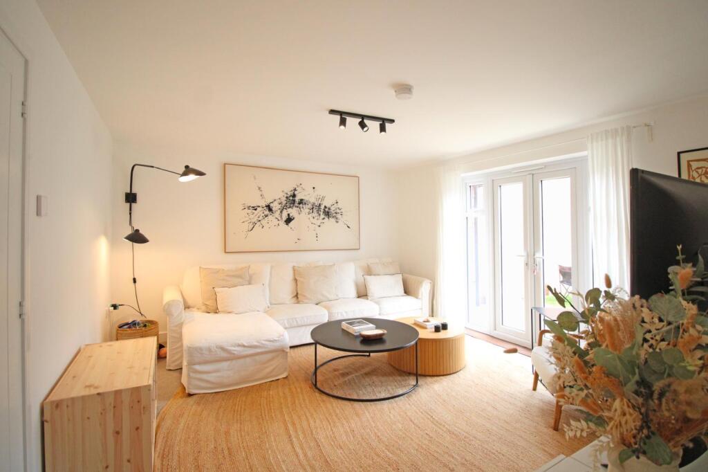
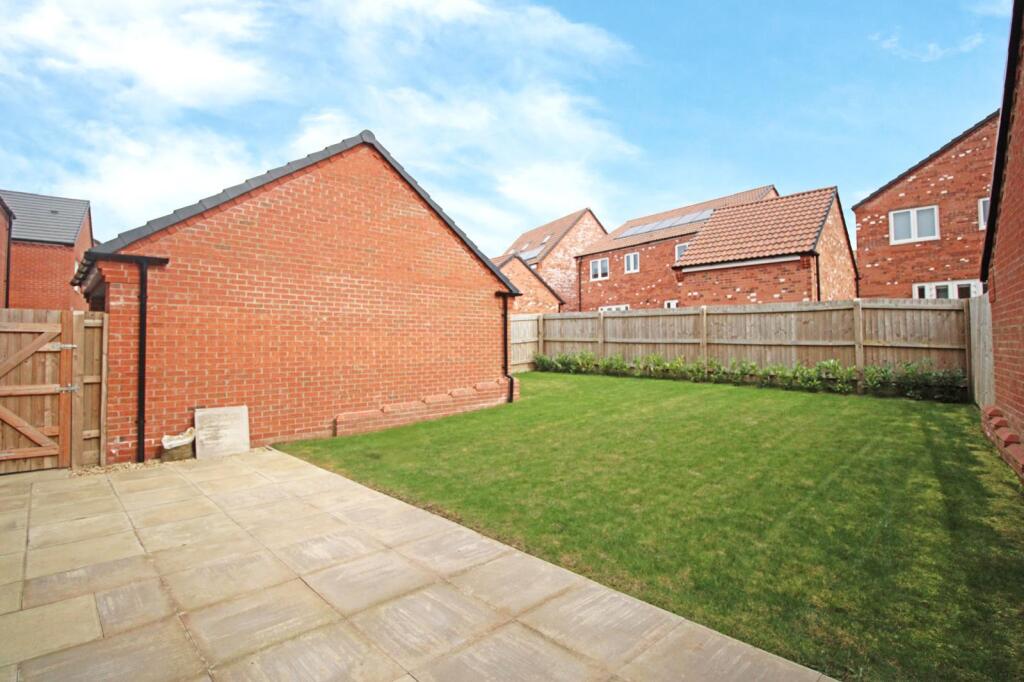
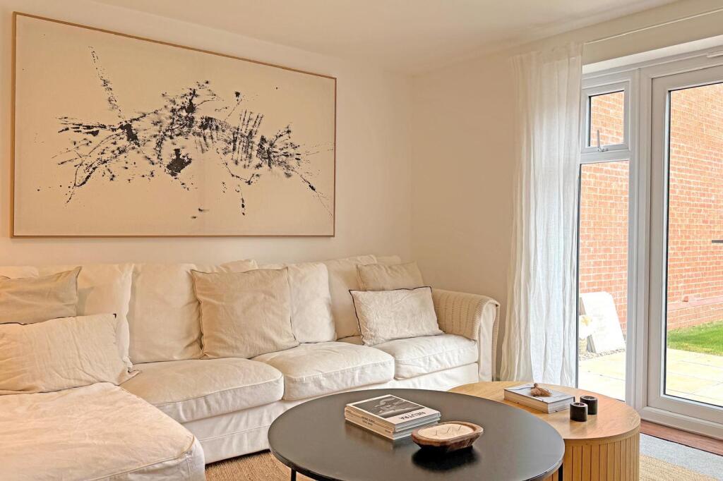
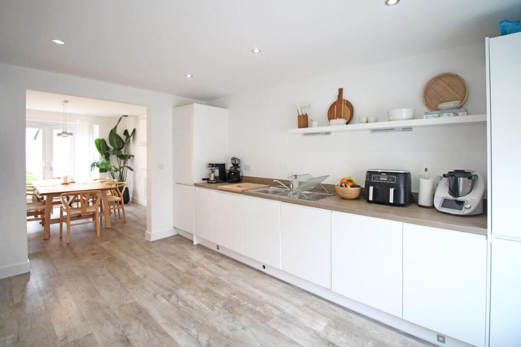
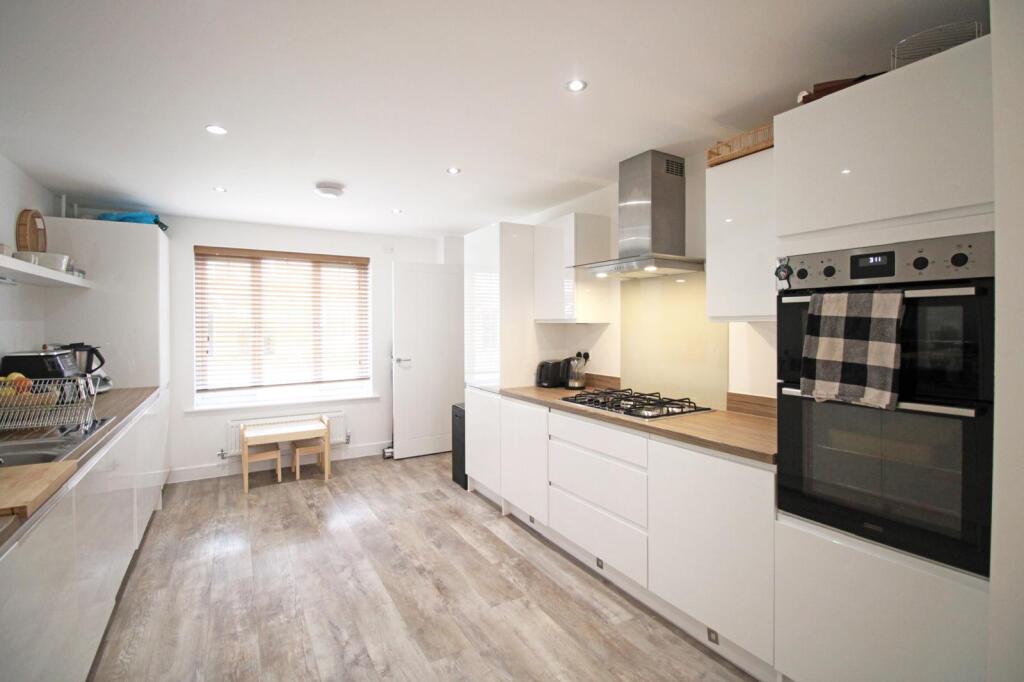
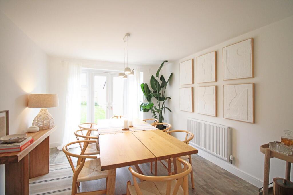
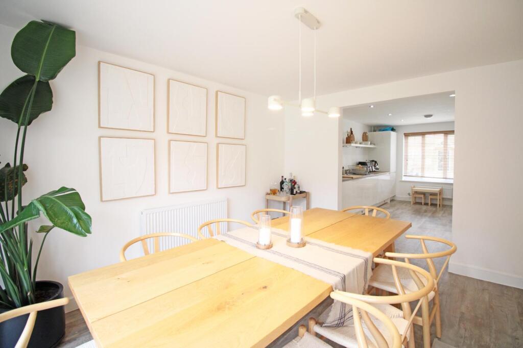
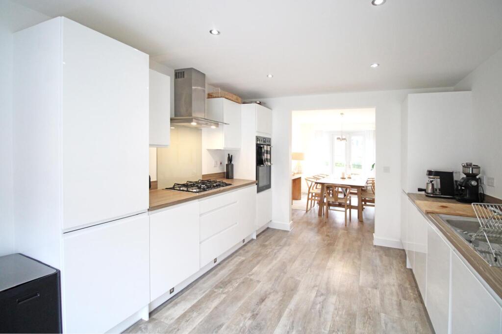
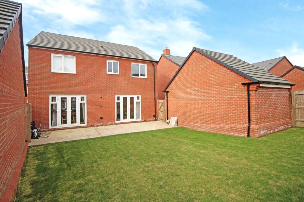
Internally, the property comprises of an entrance hall/study/kitchen with integrated appliances/dining/study and lounge to the rear with patio doors leading onto the rear garden.
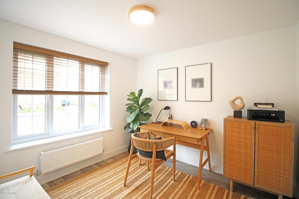
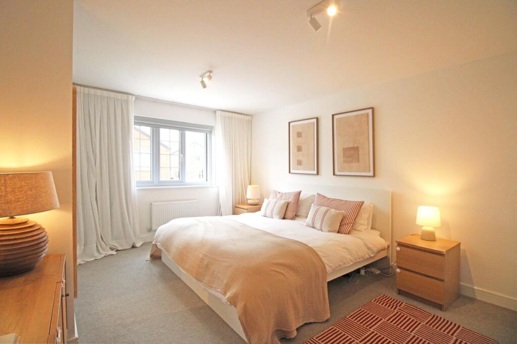
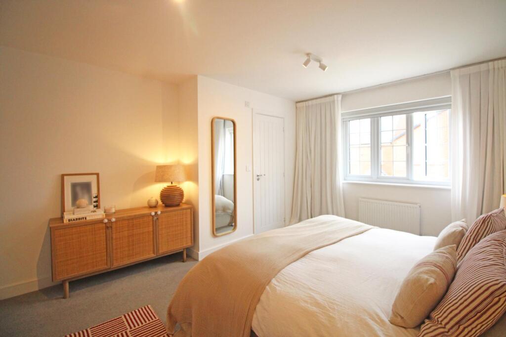
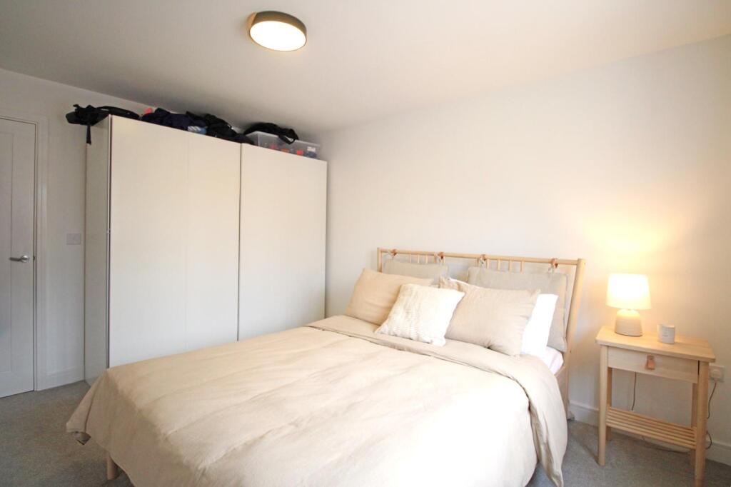
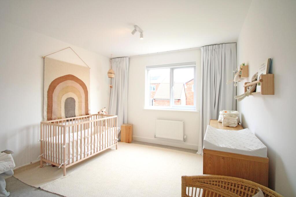
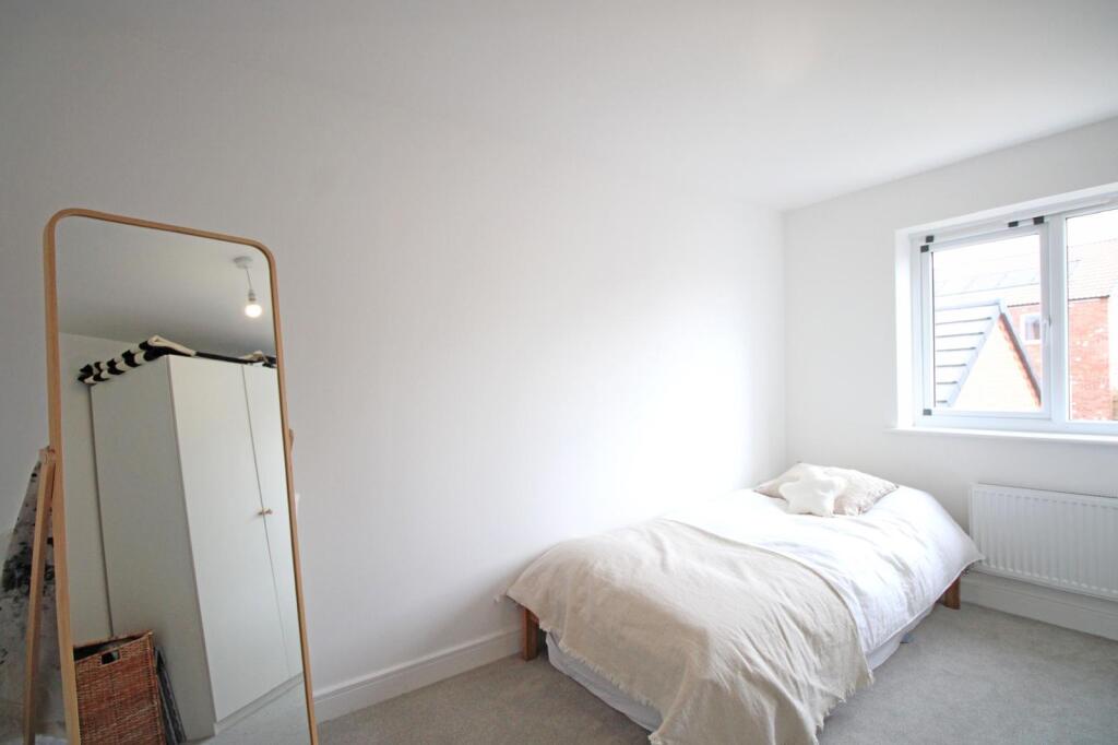
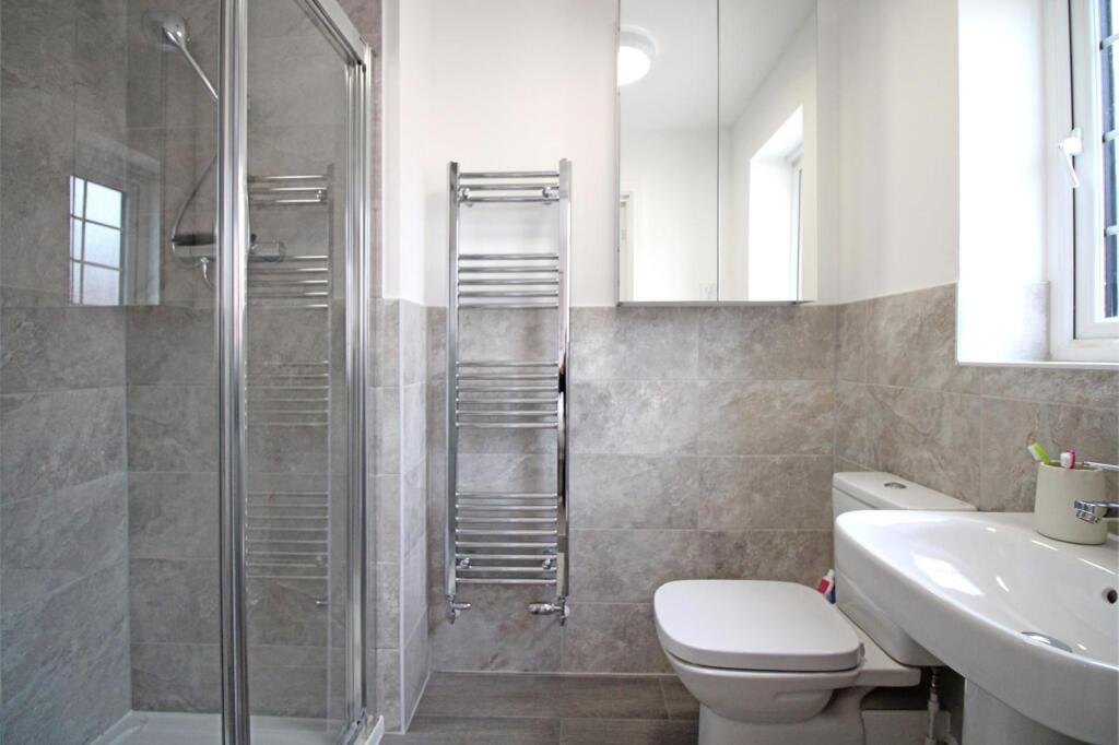
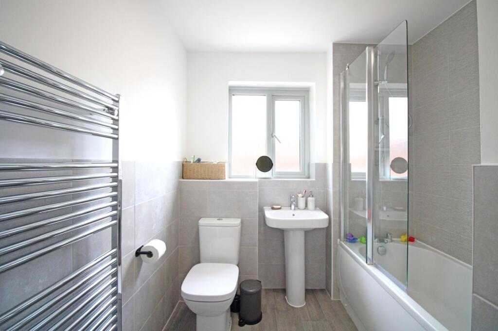
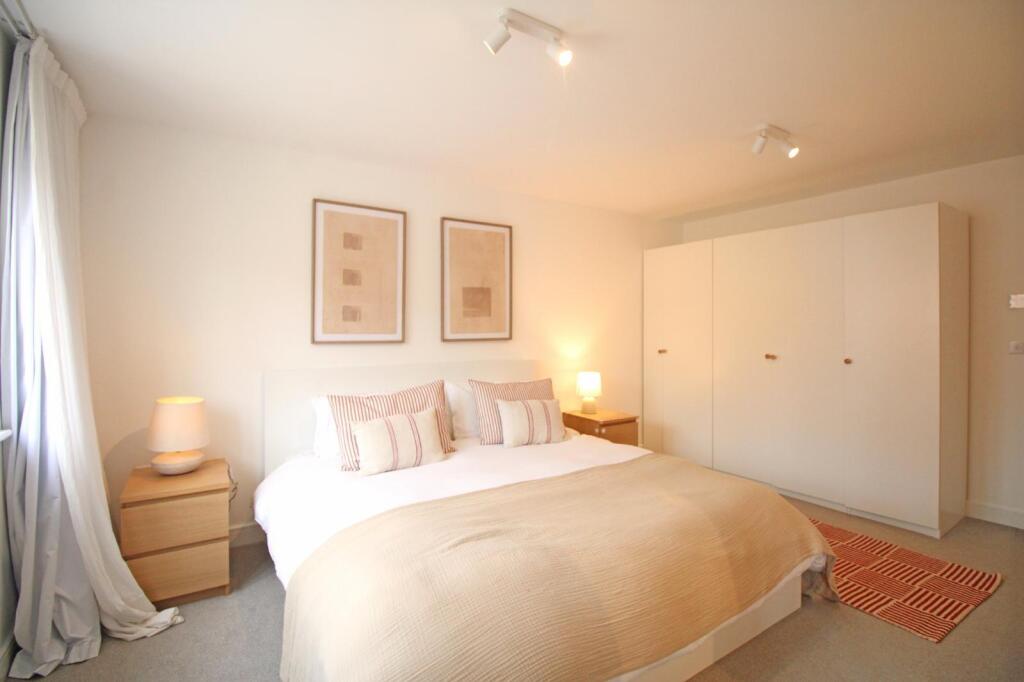
On the first floor you will find four great sized bedrooms, with the master benefiting from an ensuite and fitted wardrobes.
The property further benefits from a large single garage, and driveway.
Call Oscar James to arrange your viewing today.
* AVAILABLE JANUARY *
Council Tax Band: E
EPC Rating: B
Listed by
Kettering
Oscar James Estate Agents LLP
Reference: 169895324
EPC ratings on this postcode
We don't have a matched EPC for this property yet. Below are efficiency scores and details for other addresses on this postcode.
| Address | Current | Potential | Floor area | Age band | Type |
|---|---|---|---|---|---|
| 1, Stafford Way, MARKET HARBOROUGH | 86 | 93 | 167 m² | — | Detached |
| 10, Stafford Way, MARKET HARBOROUGH | 85 | 95 | 108 m² | — | Detached |
| 11, Stafford Way, MARKET HARBOROUGH | 85 | 95 | 107 m² | — | Detached |
| 12 Stafford Way, MARKET HARBOROUGH | 85 | 95 | 108 m² | — | Detached |
| 13 Stafford Way, MARKET HARBOROUGH | 86 | 95 | 108 m² | — | Detached |
| 14, Stafford Way, MARKET HARBOROUGH | 84 | 94 | 113 m² | — | Detached |
| 15, Stafford Way, MARKET HARBOROUGH | 86 | 95 | 108 m² | — | Detached |
| 16 Stafford Way, Market harborough | 84 | 99 | 54 m² | — | Terraced |
| 17 Stafford Way, MARKET HARBOROUGH | 85 | 94 | 113 m² | — | Detached |
| 18 Stafford Way, Market harborough | 84 | 98 | 54 m² | — | Terraced |
| 19 Stafford Way, MARKET HARBOROUGH | 86 | 93 | 144 m² | — | Detached |
| 2, Stafford Way, MARKET HARBOROUGH | 84 | 93 | 140 m² | — | Detached |
| 20 Stafford Way, MARKET HARBOROUGH | 85 | 94 | 108 m² | — | Detached |
| 21 Stafford Way, MARKET HARBOROUGH | 86 | 93 | 167 m² | — | Detached |
| 22 Stafford Way, MARKET HARBOROUGH | 85 | 94 | 108 m² | — | Detached |
Flood risk
Zone: 1
Risk: Low
Job (default Low)
Rental Range
Estimated market rent for Harborough. Low = conservative, Realistic = average, Optimistic = best case.
Based on Local Authority from postcode lookup → Harborough.
LHA (30th percentile) floor for Leicester: £1,047/mo (Apr 2025 – Mar 2026)
Location
Address
Stafford Way
Nearby
Nearest stations, universities and amenities (distance from property).
| Type | Name | Distance |
|---|---|---|
| Bus stop | Woodward Drive | 0.3 miles |
| Shop | Time To Ride CC Ltd | 0.5 miles |
| Bus stop | Airfield Business Park | 0.5 miles |
| Shop | Oasis Stores | 0.8 miles |
| Train station | Market Harborough | 1.7 miles |
| University | University of Leicester - The Village | 10.1 miles |
| Train station | South Wigston | 10.2 miles |
| Hospital | Procurement & Supplies Department (Stores) | 10.6 miles |
| University | University of Leicester | 11.3 miles |
| Hospital | Broomhill | 11.7 miles |
Street-level crime
| Category | Count |
|---|---|
| Violence and sexual offences | 23 |
| Anti-social behaviour | 3 |
| Other crime | 3 |
| Drugs | 2 |
| Other theft | 2 |
| Criminal damage and arson | 1 |
| Public order | 1 |
| Total incidents | 35 |
Within 1 mile during Apr 2026. Source: data.police.uk (England & Wales).
Schools nearby
Nearest open schools with Ofsted ratings (England). Closed schools are not shown. Data from Get Information about Schools and Ofsted.
| Name | Type | Distance | Ofsted |
|---|---|---|---|
| Wellington Place Primary School | Primary | 0.1 miles | — (No rating) |
| The Robert Smyth Academy | Secondary | 1.0 miles | Good — 2 Oct 2017 |
| Market Harborough Church of England Academy | Primary | 1.0 miles | Good — 17 Jul 2019 |
| Lubenham All Saints Church of England Primary School | Primary | 1.1 miles | Good — 23 Feb 2018 |
| Brooke House College | Other | 1.1 miles | — (No rating) |
Rental Comparables
Rental comparables are temporarily unavailable while listing-site fetches are paused. Try again later.
Enter House Number
Enter the house number to help us retrieve more accurate pricing history and property data.
Please log in to submit or correct the house number for this listing.
Log in to continue