Newcastle Road
Woore, CW3 9RA
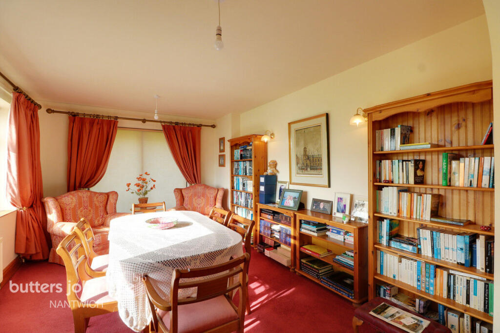
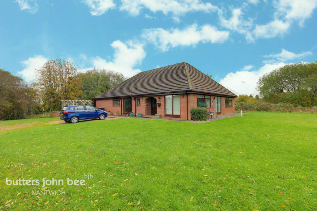
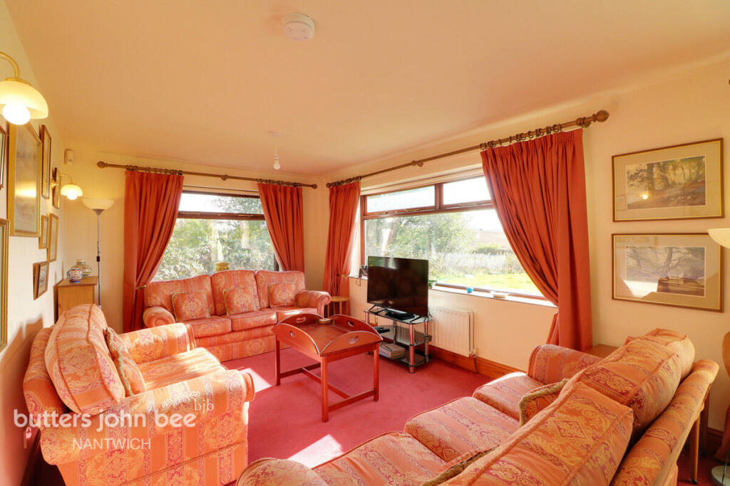
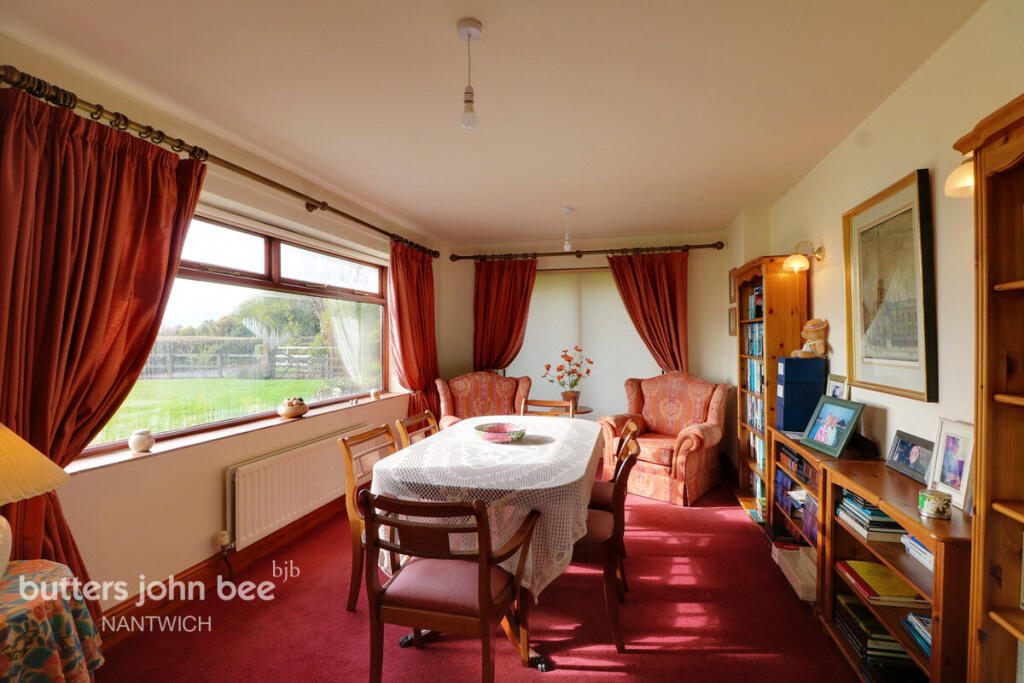
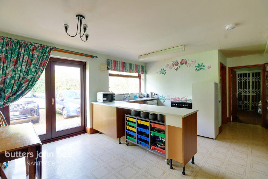
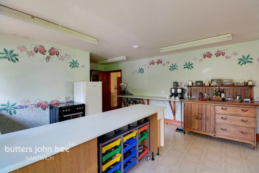
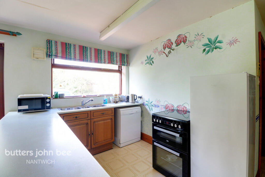
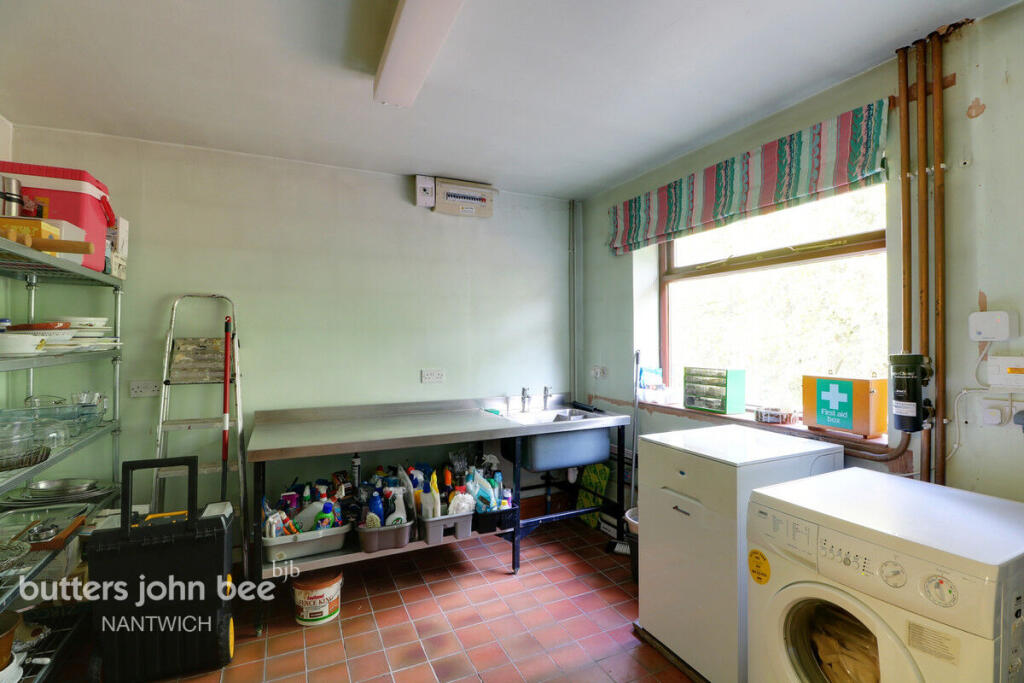
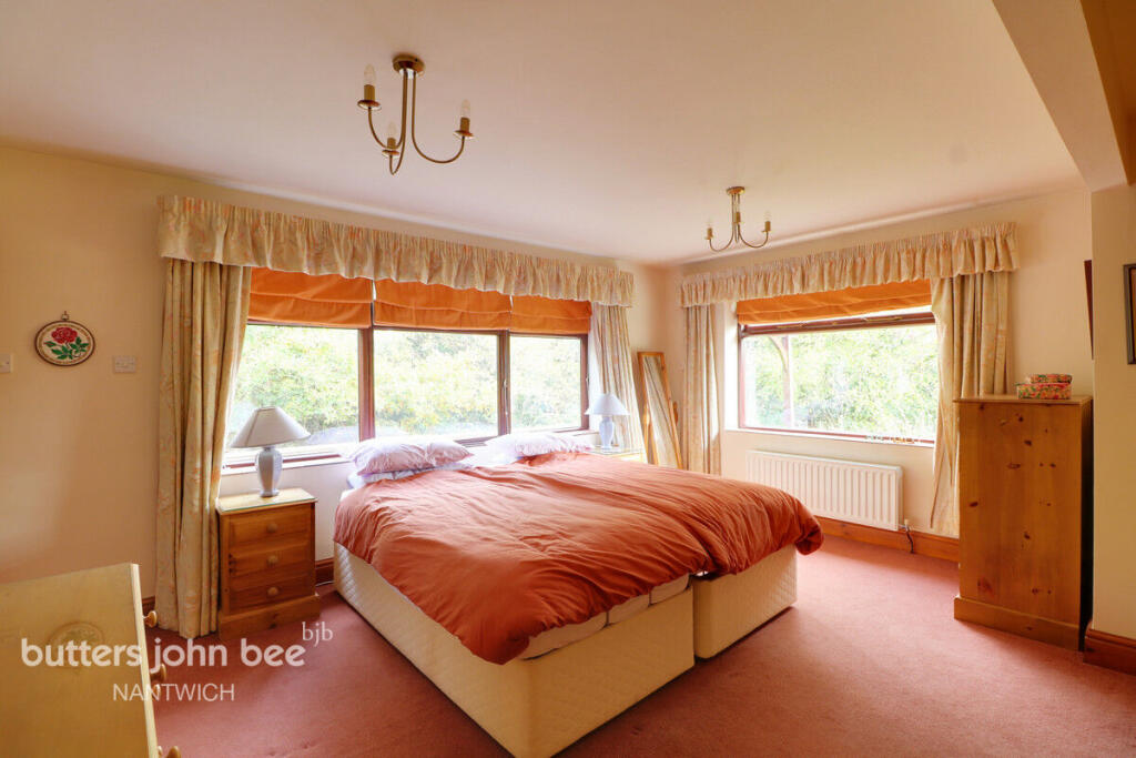
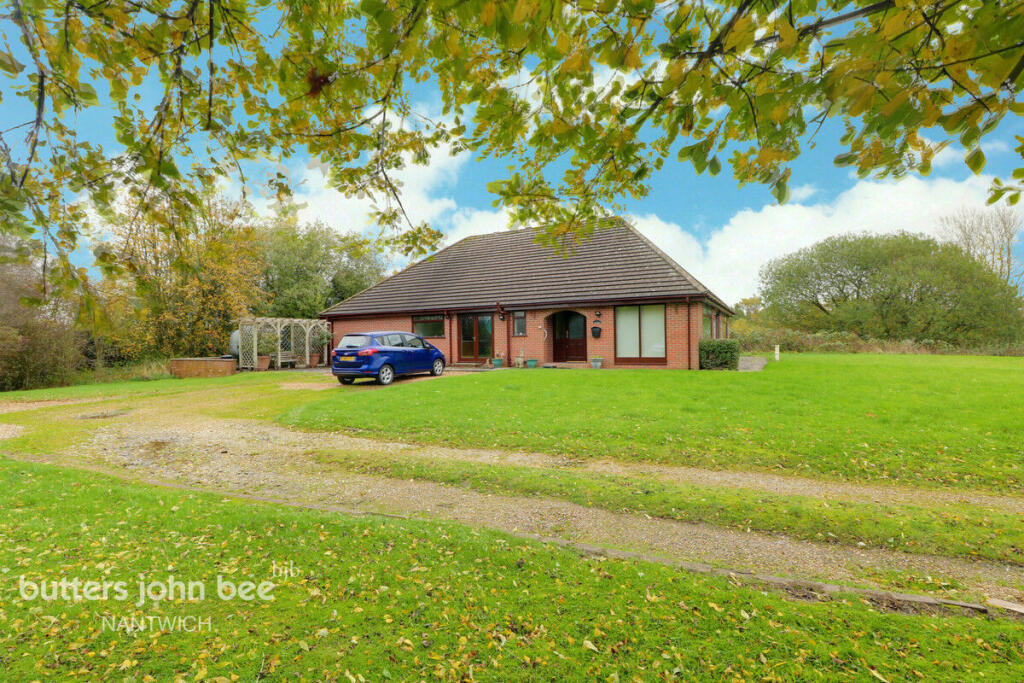
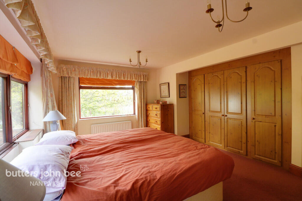
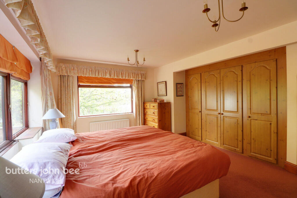
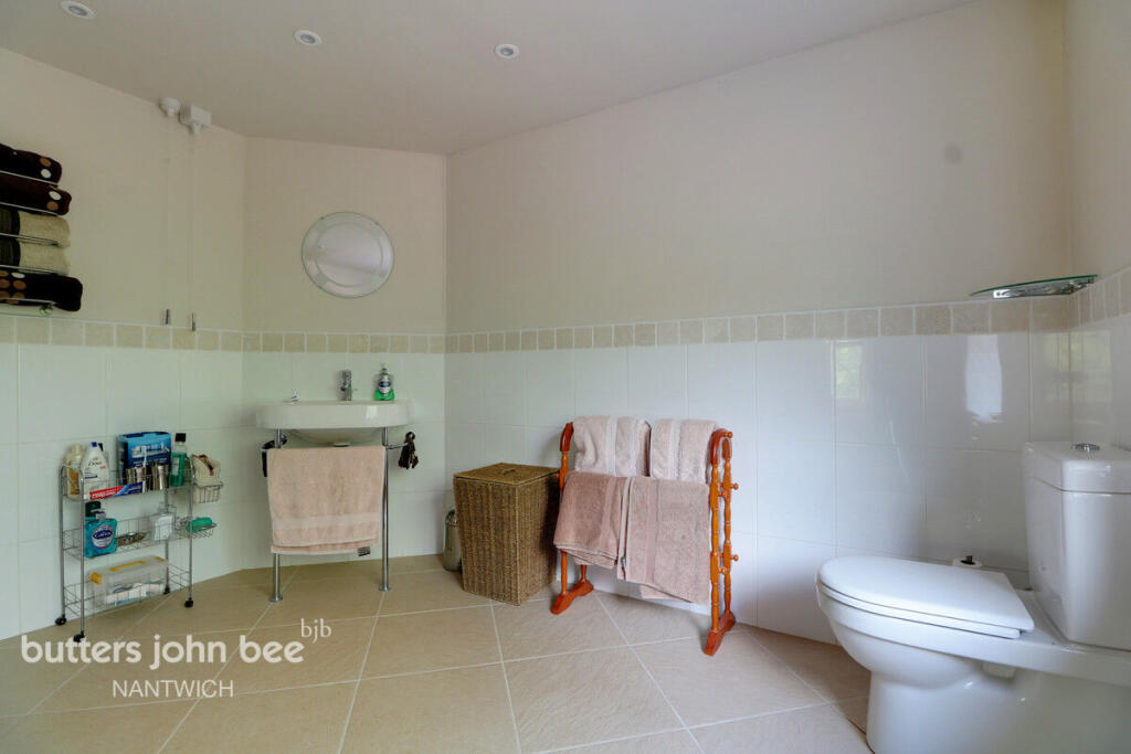
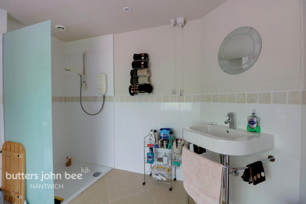
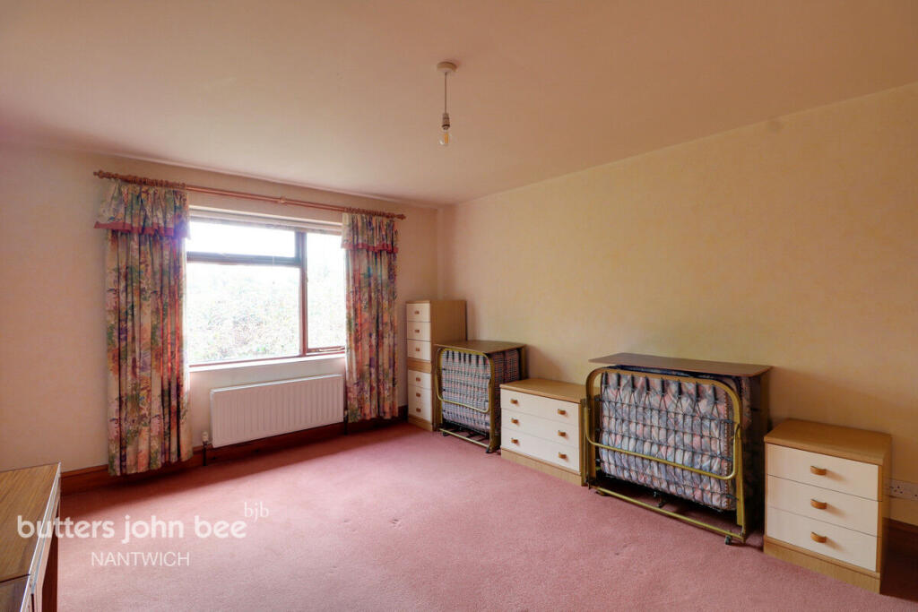

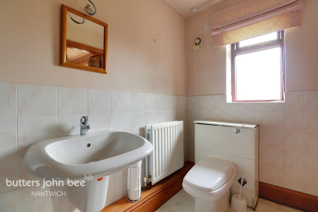
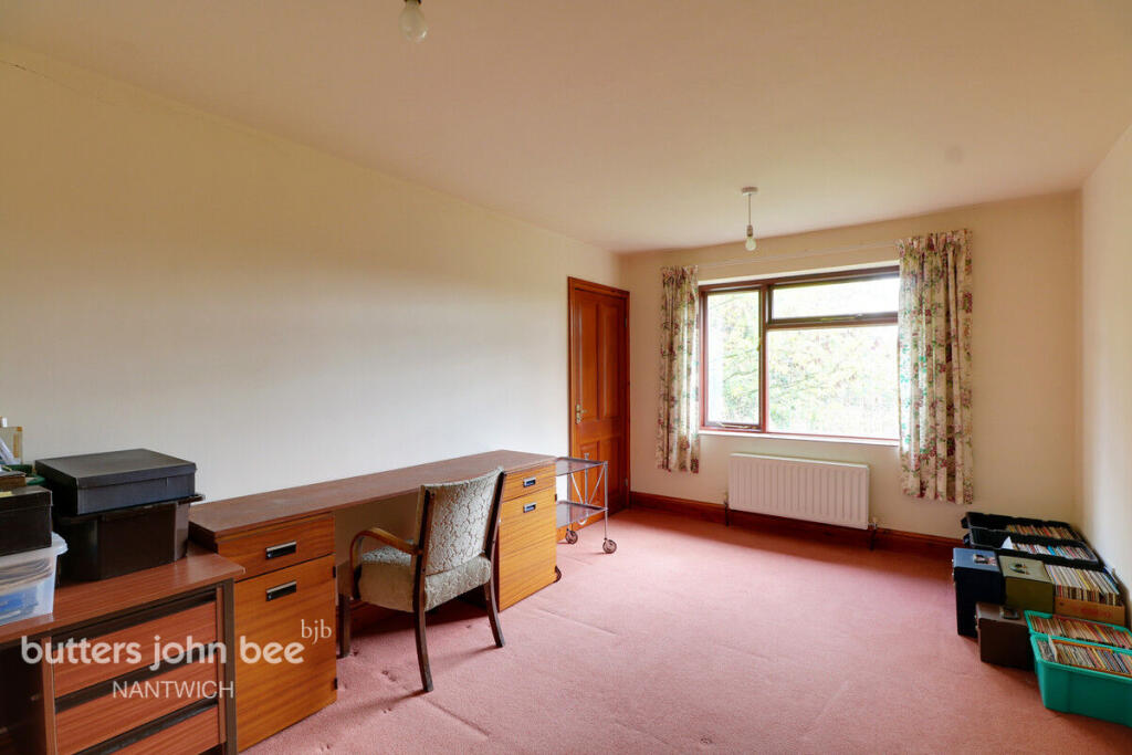
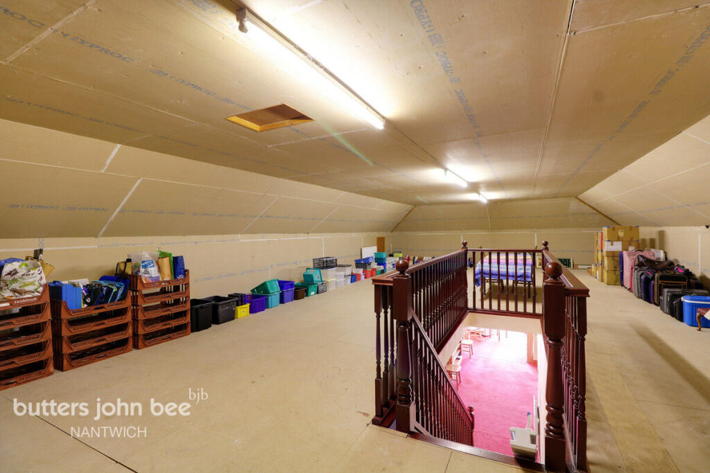
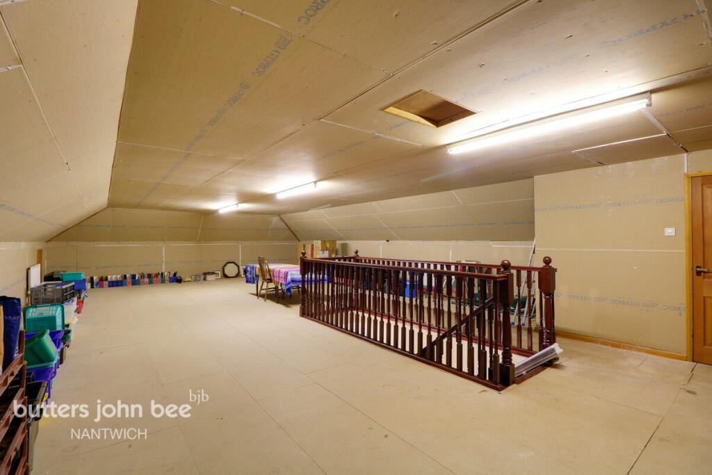
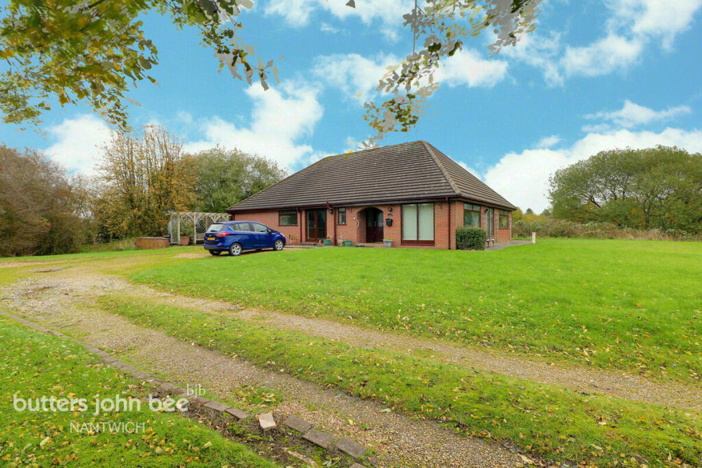
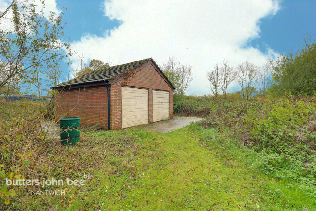
Photo 1 Photo 2 Photo 3 Photo 4 Photo 5 Photo 6 Photo 7 Photo 8 Photo 9 Photo 10 Photo 11 Photo 12 Photo 13 Photo 14 Photo 15 Photo 16 Photo 17 Photo 18 Photo 19 Photo 20 Photo 21 Photo 22
/ 22
Property details
Tenure
FREEHOLD
Council tax band
C
Local average
£435,107 (+49.4%)
Deprivation
Decile 7 (22,351 of 33,755)
Street crime
3 incidents within 1 mile (Apr 2026)
Key features
- Substantial Detached Bungalow
- Three Bedrooms
- Huge 45' Loft Room
- Tremendous Potential
- Double Garage
- Large Plot
- No Chain
- Over 3,000 Square Feet
Additional details
- Parking
- Yes
- Garden
- Yes
Description
Listed by
Nantwich
Spicerhaart
Reference: 172437935
EPC ratings on this postcode
We don't have a matched EPC for this property yet. Below are efficiency scores and details for other addresses on this postcode.
| Address | Current | Potential | Floor area | Age band | Type |
|---|---|---|---|---|---|
| Ivy House Farm, Newcastle Road, Woore | 56 | 79 | 231 m² | England and Wales: before 1900 | House |
| Ivy House Farm, Newcastle Road, Woore, CREWE | 56 | 79 | 231 m² | England and Wales: before 1900 | Detached |
| The Old Crow, Newcastle Road | 17 | 71 | 187 m² | England and Wales: before 1900 | House |
| The Old Crow, Newcastle Road, CREWE | 17 | 71 | 187 m² | England and Wales: before 1900 | Detached |
| The Stables, Newcastle Road, Woore | 41 | 43 | 83 m² | England and Wales: 1983-1990 | Flat |
Flood risk
Zone: 1
Risk: Low
Job (default Low)
Floorplans
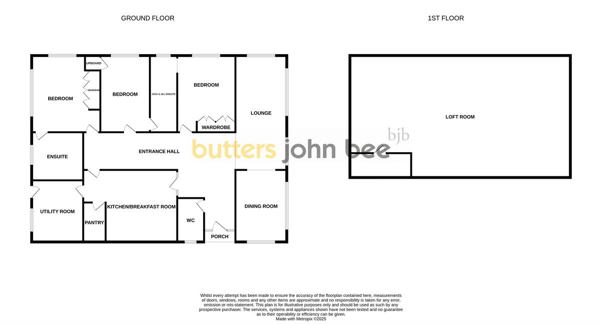
Floorplan 1
EPC Graphs
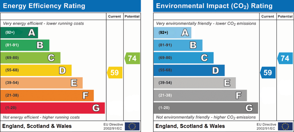
EPC 1
Price history
| Event | Date | Price | % change |
|---|---|---|---|
| Listed for sale | — | £650,000 | — |
Source: HM Land Registry Price Paid Data. Crown copyright.
Sold Comparables
Same street and nearby sales within 0.25 miles (last 5 years). Data from Land Registry Price Paid.
| Address | Price | Date | Type |
|---|---|---|---|
| THE POPLARS WOORE ROAD, ONNELEY, CREWE, SHROPSHIRE, CW3 9QJ | £440,000 | 24/01/2022 | Detached |
| Same street IVY HOUSE FARM NEWCASTLE ROAD, WOORE, CREWE, SHROPSHIRE, CW3 9RA | £800,000 | 20/01/2022 | Other |
Street average: £800,000 (1 sale)
Area average: £440,000 (1 sale)
Capital growth trend
Land Registry outcode average: last 12 months vs 5y and 10y ago (from sold prices).
House Price Index (HM Land Registry — official index, not sold-price averages): Shropshire. Series: Detached. As of March 2026.
Rental Range
Estimated market rent for Shropshire. Low = conservative, Realistic = average, Optimistic = best case.
Based on Local Authority from postcode lookup → Shropshire.
LHA (30th percentile) floor for South Cheshire: £678/mo (Apr 2025 – Mar 2026)
Location
Address
Newcastle Road
Nearby
Nearest stations, universities and amenities (distance from property).
| Type | Name | Distance |
|---|---|---|
| Bus stop | Station Road | 0.3 miles |
| Shop | Woore Country Stores | 1.1 miles |
| Shop | Baa Hill Farm Shop | 1.2 miles |
| Bus stop | Bridgemere, Off London Road / Bridgemere Garden World | 1.6 miles |
| University | Keele University | 4.6 miles |
| Train station | Silverdale | 5.8 miles |
| Train station | Apedale Road | 6.0 miles |
| Hospital | North Staffordshire Nuffield Hospital | 6.4 miles |
| Hospital | Royal Stoke University Hospital | 7.0 miles |
| University | University of Buckingham Crewe Campus | 7.9 miles |
Street-level crime
| Category | Count |
|---|---|
| Violence and sexual offences | 2 |
| Criminal damage and arson | 1 |
| Total incidents | 3 |
Within 1 mile during Apr 2026. Source: data.police.uk (England & Wales).
Schools nearby
Nearest open schools with Ofsted ratings (England). Closed schools are not shown. Data from Get Information about Schools and Ofsted.
| Name | Type | Distance | Ofsted |
|---|---|---|---|
| Woore Primary and Nursery School | Primary | 1.1 miles | Good — 10 Dec 2023 |
| Sir John Offley CofE (VC) Primary School | Primary | 1.8 miles | Good — 16 Mar 2023 |
| Madeley High School | Secondary | 2.1 miles | Good — 7 Feb 2013 |
| Bridgemere CofE Primary School | Primary | 2.5 miles | Good — 23 Jul 2018 |
| The Meadows Primary School | Primary | 2.8 miles | Outstanding — 13 Mar 2024 |
Rental Comparables
Loading rental comparables for this postcode. Refresh in a few minutes.
Rent-driven metrics
Based on Area rent estimate.
- Rent ratio — Monthly rent ÷ purchase price (1% rule). 1%+ = strong, 0.8–1% = okay, <0.8% = weak for cashflow.
- Max investor price — Rent ÷ 0.8%; the price at which rent would be 0.8% of price (Stoke-style target).
- Target investor price — Rent ÷ 1%; the price at which rent would be 1% of price (strong cashflow band).
- Gross yield — Annual rent as % of purchase price (no costs).
Enter House Number
Enter the house number to help us retrieve more accurate pricing history and property data.
Please log in to submit or correct the house number for this listing.
Log in to continue