47 SEDGEFIELD ROAD
BURTON-ON-TRENT, BRANSTON, STAFFORDSHIRE DE14 3GN
£650 pcm
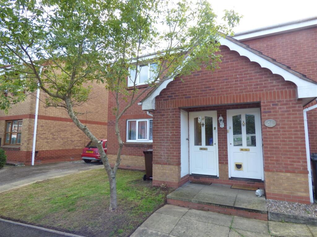
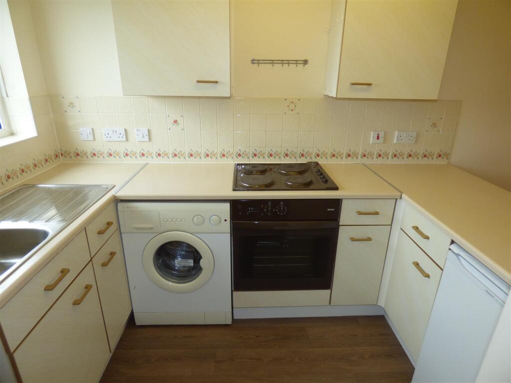
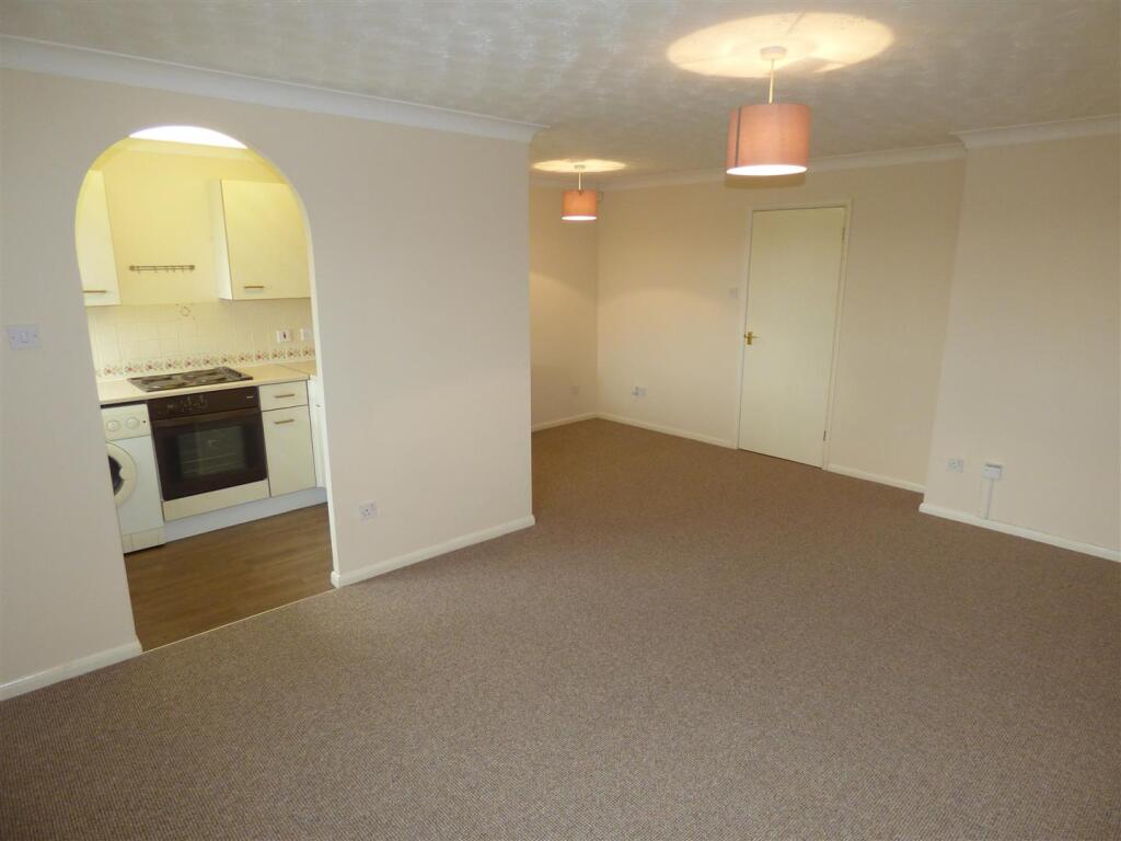
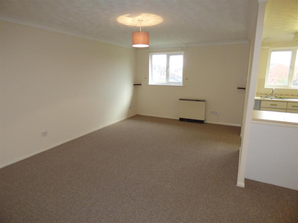
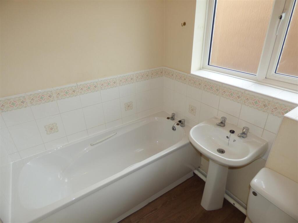
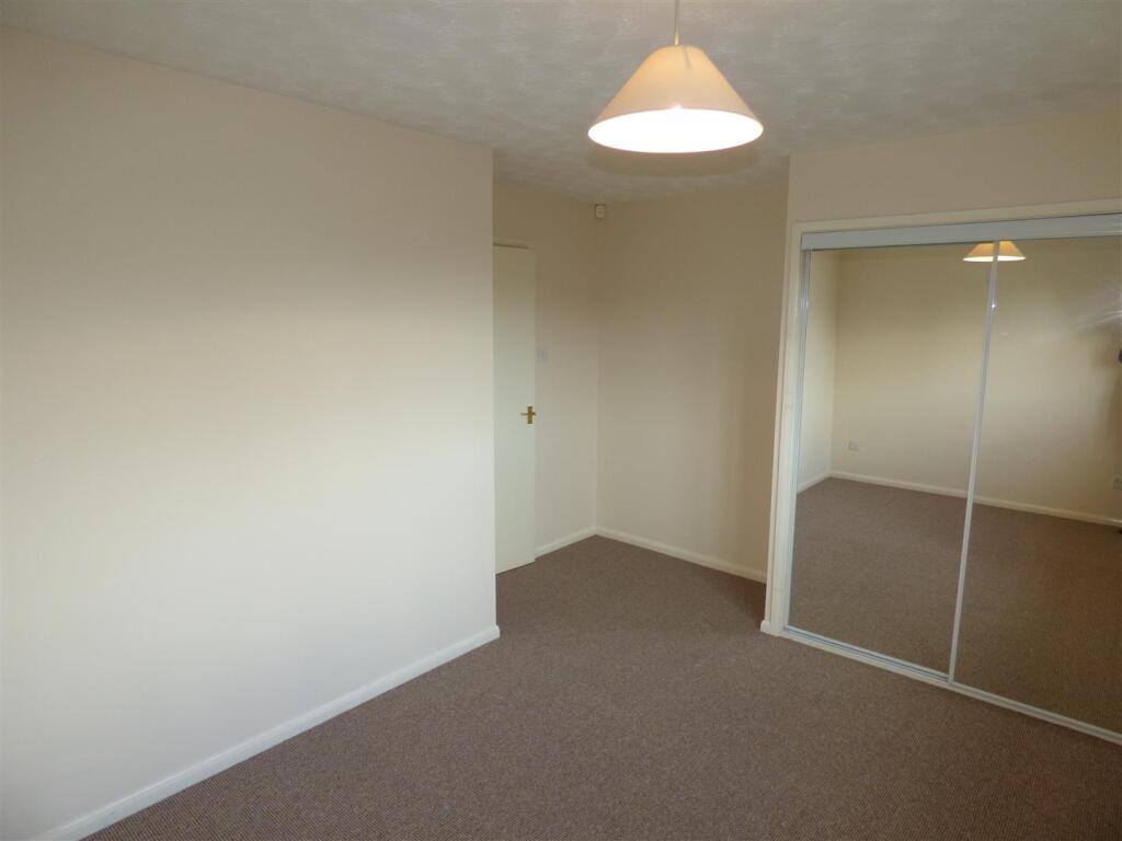
Photo 1 Photo 2 Photo 3 Photo 4 Photo 5 Photo 6
/ 6
Property details
Floor area
50 m²
Council tax band
A
Deprivation
Decile 6 (19,285 of 33,755)
Street crime
85 incidents within 1 mile (Apr 2026)
Additional details
- Parking
- Yes
- Garden
- Yes
Description
To the outside the property occupies a cul-de-sac location with allocated parking space and guest visitor parking, front lawned garden and outside bin store.
Property available now, call today to arrange your viewing.
Listed by
Staffordshire & Derbyshire
ABODE ESTATE AGENTS LIMITED
Reference: 159148274
EPC Rating & Upgrade Cost
Fetching EPC data… Refresh this page in a moment.
Flood risk
Zone: 1
Risk: Low
Job (default Low)
FENSA Certificates
This property has 1 FENSA certificate(s) on record, indicating window/door installations by FENSA-approved installers.
FENSA Certificate #8452496
Property Details
Street: 47 Sedgefield Road
Town: Branston
Postcode: DE14 3GN
Installation Details
Items: 4 windows
Certificate Issued: 17/10/2011
Work Completed: 03/10/2011
This certificate data was retrieved from FENSA's database
What is FENSA? FENSA (Fenestration Self-Assessment Scheme) is a government-authorised scheme that monitors building regulation compliance for replacement windows and doors. Certificates indicate that work was completed by FENSA-approved installers.
Rental Range
Estimated market rent for East Staffordshire. Low = conservative, Realistic = average, Optimistic = best case.
Based on Local Authority from postcode lookup → East Staffordshire.
LHA (30th percentile) floor for Eastern Staffordshire: £494/mo (Apr 2025 – Mar 2026)
Location
Nearby
Nearest stations, universities and amenities (distance from property).
| Type | Name | Distance |
|---|---|---|
| Bus stop | Lingfield Road | 0.1 miles |
| Bus stop | Arnot Road | 0.1 miles |
| Shop | Morrisons | 0.3 miles |
| Shop | Surestore | 0.4 miles |
| Train station | Burton-on-Trent | 1.4 miles |
| Hospital | Queen's Hospital | 1.9 miles |
| Hospital | Outwood Site | 2.1 miles |
| Train station | Tutbury and Hatton | 5.2 miles |
| University | University of Derby - Markeaton Street Campus | 11.8 miles |
| University | Britannia Mill | 11.8 miles |
Street-level crime
| Category | Count |
|---|---|
| Violence and sexual offences | 41 |
| Anti-social behaviour | 11 |
| Public order | 8 |
| Other theft | 6 |
| Burglary | 4 |
| Shoplifting | 4 |
| Criminal damage and arson | 3 |
| Other crime | 3 |
| Bicycle theft | 2 |
| Possession of weapons | 1 |
| Robbery | 1 |
| Vehicle crime | 1 |
| Total incidents | 85 |
Within 1 mile during Apr 2026. Source: data.police.uk (England & Wales).
Schools nearby
Nearest open schools with Ofsted ratings (England). Closed schools are not shown. Data from Get Information about Schools and Ofsted.
| Name | Type | Distance | Ofsted |
|---|---|---|---|
| Paget High School | Secondary | 0.3 miles | Good — 14 Nov 2022 |
| Rykneld Primary School | Primary | 0.4 miles | Good — 19 Oct 2012 |
| Anglesey Primary Academy | Primary | 1.0 miles | Good — 15 Jan 2020 |
| John Taylor Free School | Secondary | 1.1 miles | Good — 30 Mar 2023 |
| Christ Church Primary School | Primary | 1.2 miles | Good — 6 Jan 2015 |
Rental Comparables
Rental comparables are temporarily unavailable while listing-site fetches are paused. Try again later.