17 HEATH ROAD
HOUNSLOW, GREATER LONDON TW3 2NJ
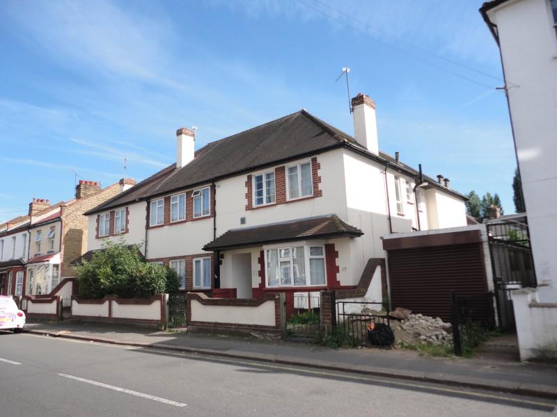
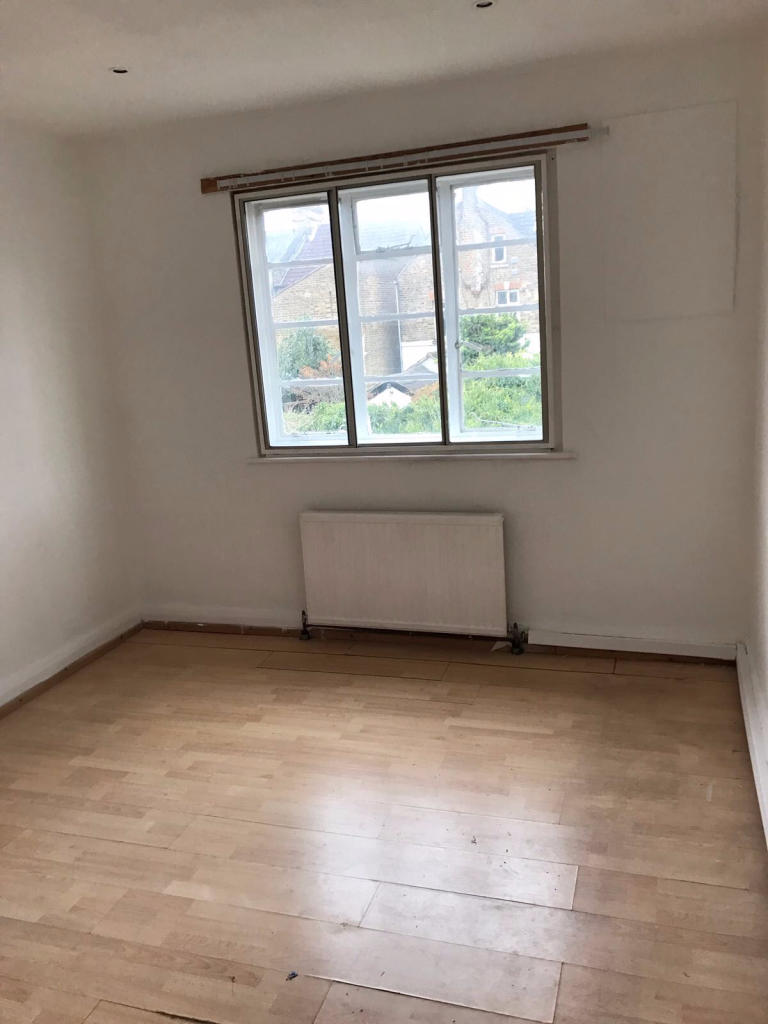
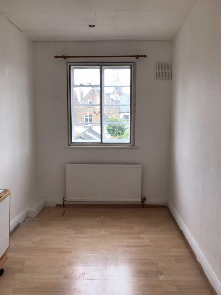
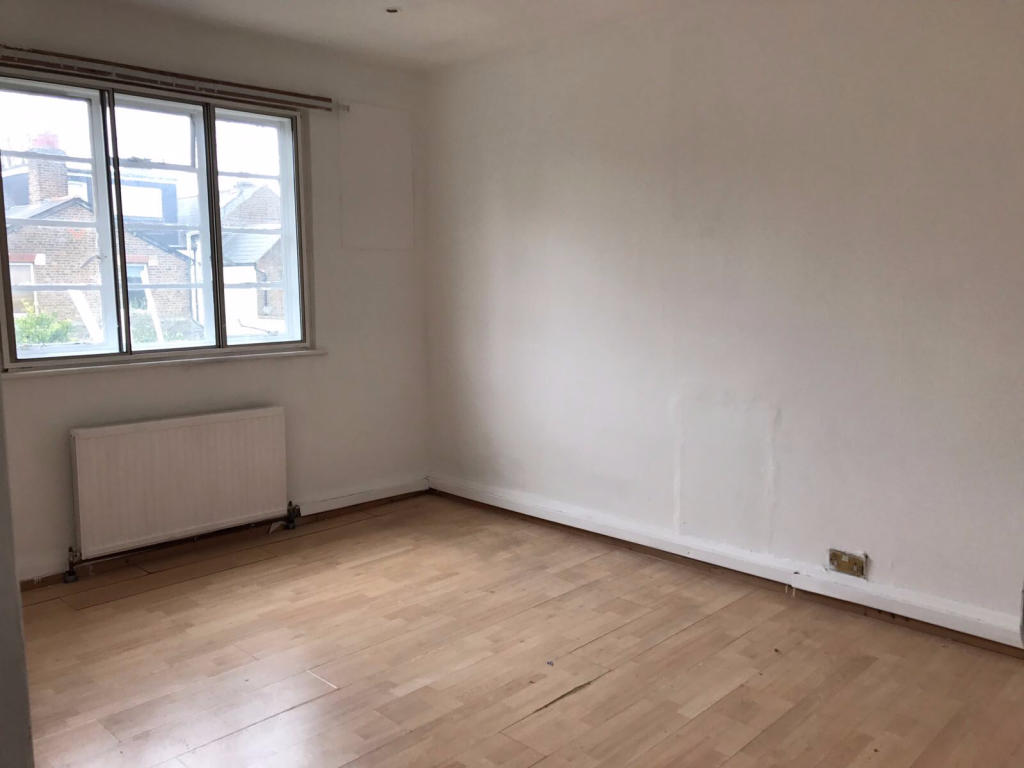
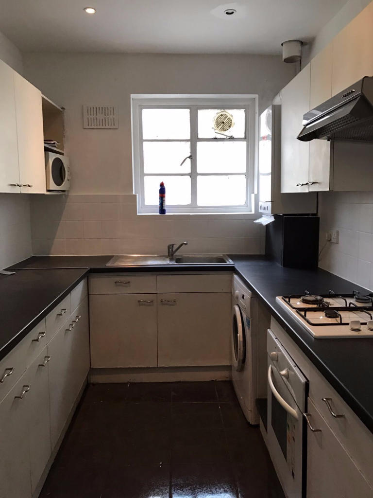
Photo 1 Photo 2 Photo 3 Photo 4 Photo 5 Photo 6 Photo 7 Photo 8
/ 8
Property details
Floor area
61 m²
EPC rating
C
Year built
England and Wales: 1930-1949
Deprivation
Decile 2 (4,887 of 33,755)
Street crime
782 incidents within 1 mile (Apr 2026)
Key features
- 2 Bedroom Maisonette (First Floor)
- Hounslow British Railway Station
- Fully Furnished
- Fitted Kitchen
- Close to public transport
- Garden
Additional details
- Garden
- Yes
Description
Listed by
Hounslow
Bassetts
Reference: 48815634
EPC Rating & Upgrade Cost
Current rating: C
Potential rating: C
Inspection date: 25/03/2026
Expiry date: 24/03/2036
Current heating cost: £657/year
Potential heating cost: £443/year
Est. upgrade cost to C: £9,250
Recommendations
- 50 mm internal or external wall insulation (£7,500 - £11,000)
Flood risk
Zone: 1
Risk: Low
Job (default Low)
Rental Range
Estimated market rent for Hounslow. Low = conservative, Realistic = average, Optimistic = best case.
Based on Local Authority from postcode lookup → Hounslow.
LHA (30th percentile) floor for Outer West London: £1,296/mo (Apr 2025 – Mar 2026)
Location
Nearby
Nearest stations, universities and amenities (distance from property).
| Type | Name | Distance |
|---|---|---|
| Bus stop | Heath Road | 0.0 miles |
| Train station | Hounslow | 0.1 miles |
| Shop | Sanco | 0.2 miles |
| Shop | One Stop | 0.2 miles |
| Train station | Hounslow Central | 0.6 miles |
| Hospital | Hounslow Medical Centre | 0.8 miles |
| University | University of West London | 4.0 miles |
| University | University of West London - Hellenic Institute Of Maritime Studies | 4.0 miles |
| Hospital | Bridge Lane Health Centre | 8.4 miles |
Street-level crime
| Category | Count |
|---|---|
| Violence and sexual offences | 216 |
| Anti-social behaviour | 153 |
| Shoplifting | 96 |
| Public order | 48 |
| Drugs | 44 |
| Vehicle crime | 44 |
| Criminal damage and arson | 41 |
| Other theft | 40 |
| Theft from the person | 36 |
| Burglary | 31 |
| Robbery | 12 |
| Other crime | 10 |
| Bicycle theft | 9 |
| Possession of weapons | 2 |
| Total incidents | 782 |
Within 1 mile during Apr 2026. Source: data.police.uk (England & Wales).
Schools nearby
Nearest open schools with Ofsted ratings (England). Closed schools are not shown. Data from Get Information about Schools and Ofsted.
| Name | Type | Distance | Ofsted |
|---|---|---|---|
| Chatsworth Primary School | Primary | 0.3 miles | Good — 27 Mar 2019 |
| Oak Heights Independent School | Other | 0.4 miles | Good — 24 Sep 2023 |
| Hounslow Town Primary School | Primary | 0.4 miles | Good — 27 Jan 2022 |
| Kingsley Academy | Secondary | 0.5 miles | Good — 13 Nov 2019 |
| Grove Road Primary School | Primary | 0.5 miles | Good — 25 May 2013 |
Rental Comparables
Residential lets from OpenRent and Rightmove for the area (same bedroom count). Use to validate rent estimates. Student lets are excluded.
| Title | Rent | Beds | Distance | As seen on |
|---|---|---|---|---|
| 2 Bed Flat, Grove Road, TW3 | £1,800/mo | 2 | 0.29 miles | OpenRent |
Average rent: £1,800/mo (1 listing)