43 WOODHOUSE MOUNT
NORMANTON, WEST YORKSHIRE WF6 1BN
£965 pcm


Property details
Floor area
81 m²
Council tax band
B
EPC rating
D
Deprivation
Decile 2 (4,338 of 33,755)
Street crime
127 incidents within 1 mile (Apr 2026)
Key features
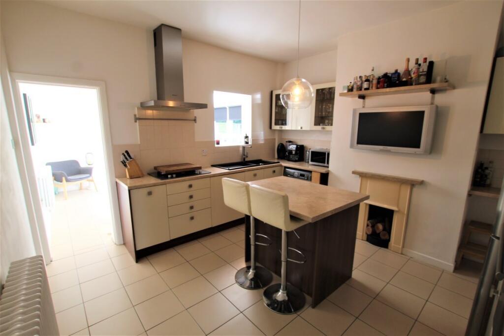
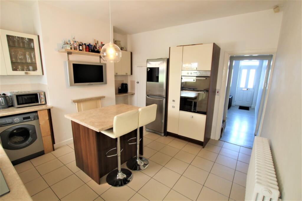
- Kitchen-Diner
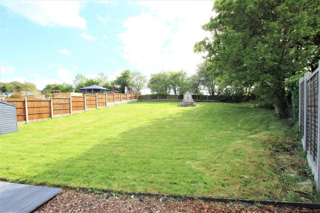
- Garden
- Internet
Additional details
- Garden
- Yes
Description
Listed by
Wakefield
MoveNowProperties.com
Reference: 166233734
EPC Rating & Upgrade Cost
Current rating: D
Potential rating: C
Inspection date: 17/07/2025
Expiry date: 16/07/2035
Est. upgrade cost to C: £25,750
Recommendations
- 50 mm internal or external wall insulation (£7,500 - £11,000)
- Floor insulation (suspended floor) (£5,000 - £10,000)
- Solar photovoltaic panels, 2.5 kWp (£8,000 - £10,000)
Flood risk
Zone: 1
Risk: Low
Job (default Low)
EPC Graphs

EPC
Rental Range
Estimated market rent for Wakefield. Low = conservative, Realistic = average, Optimistic = best case.
Based on Local Authority from postcode lookup → Wakefield.
LHA (30th percentile) floor for Wakefield: £593/mo (Apr 2025 – Mar 2026)
Location
Nearby
Nearest stations, universities and amenities (distance from property).
| Type | Name | Distance |
|---|---|---|
| Bus stop | Wakefield Road Hope Street | 0.1 miles |
| Bus stop | Wakefield Road Goosehill Road | 0.1 miles |
| Shop | Palmers Garage | 0.4 miles |
| Shop | The Colour Room | 0.5 miles |
| Train station | Normanton | 0.6 miles |
| Train station | Streethouse | 1.5 miles |
| Hospital | Pontefract Hospital | 4.8 miles |
| Hospital | Holgate Hospital | 6.1 miles |
| University | Leeds Law School | 8.8 miles |
| University | Northern Film School | 9.1 miles |
Street-level crime
| Category | Count |
|---|---|
| Violence and sexual offences | 51 |
| Anti-social behaviour | 18 |
| Public order | 14 |
| Shoplifting | 12 |
| Criminal damage and arson | 10 |
| Vehicle crime | 7 |
| Other theft | 6 |
| Other crime | 5 |
| Burglary | 2 |
| Drugs | 2 |
| Total incidents | 127 |
Within 1 mile during Apr 2026. Source: data.police.uk (England & Wales).
Schools nearby
Nearest open schools with Ofsted ratings (England). Closed schools are not shown. Data from Get Information about Schools and Ofsted.
| Name | Type | Distance | Ofsted |
|---|---|---|---|
| Newlands Primary School | Primary | 0.1 miles | Good — 15 Oct 2019 |
| Normanton Junior Academy | Primary | 0.5 miles | Good — 30 Apr 2018 |
| Outwood Academy Freeston | Secondary | 0.6 miles | Requires improvement — 18 Jan 2023 |
| Normanton All Saints CofE Infant School | Primary | 0.6 miles | Outstanding — 20 May 2013 |
| Normanton Altofts Junior School | Primary | 0.7 miles | Requires improvement — 21 May 2023 |
Rental Comparables
Residential lets from OpenRent and Rightmove for the area (same bedroom count). Use to validate rent estimates. Student lets are excluded.
| Title | Rent | Beds | Distance | As seen on |
|---|---|---|---|---|
| 2 Bed Terraced House, King St, WF6 | £750/mo | 2 | 0.39 miles | OpenRent |
| 2 Bed Terraced House, Cambridge Street, WF6 | £795/mo | 2 | 0.39 miles | OpenRent |
| 2 Bed End Terrace, Queensway, WF6 | £950/mo | 2 | 0.4 miles | OpenRent |
Average rent: £832/mo (3 listings)