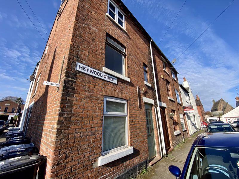
6 HEYWOOD STREET
CONGLETON, CONGLETON, CHESHIRE CW12 4DL
£595 pcm
Property details
Floor area
38 m²
Council tax band
A
Deprivation
Decile 3 (7,372 of 33,755)
Street crime
144 incidents within 1 mile (Aug 2026)
Key features
- FIRST FLOOR FLAT
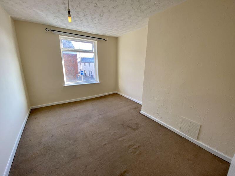
- DOUBLE BEDROOM
- GAS CENTRAL HEATING
- CONGLETON TOWN CENTRE LOCATION
Additional details
- Garden
- Yes
Description
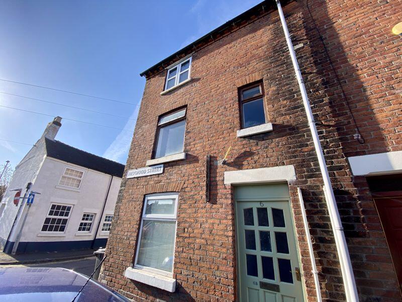
This particular first floor apartment forms part of a three storey period style end of terrace located within the heart of Congleton allowing extremely convenient access to the town centre which offers an array of shops, bars and restaurants. It is located close to the cricket ground and bowls club and the lawn tennis club is 200 metres away.
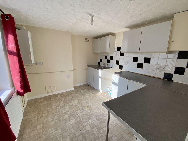
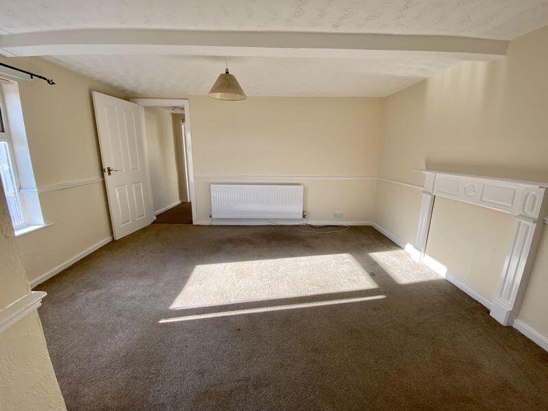
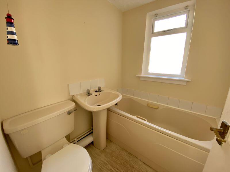
Complemented with gas central heating with the main accommodation comprising: double bedroom, lounge, bathroom and kitchen.
The market town of Congleton is positioned such that it is possible to commute via the nearby M6 or by rail (1.3 miles from Heywood Street to Congleton station) to Manchester, Liverpool, London or Leeds.
Listed by
Congleton
Timothy A Brown Ltd
Reference: 93699348
Flood risk
Zone: 1
Risk: Low
Job (default Low)
Registered land (INSPIRE)
This location is outside the imported HM Land Registry INSPIRE registered freehold polygons.
Source: HM Land Registry INSPIRE Index Polygons.
EPC Graphs

Energy Performance Certificate
Company ownership
Registered legal owner is a company.
Company: FLAIRTOWN LIMITED (1813427)
Rental Range
Estimated market rent for Cheshire East. Low = conservative, Realistic = average, Optimistic = best case.
Based on Local Authority from postcode lookup → Cheshire East.
LHA (30th percentile) floor for Oldham & Rochdale: £474/mo (Apr 2025 – Mar 2026)
Location
Nearby
Nearest stations, universities and amenities (distance from property).
| Type | Name | Distance |
|---|---|---|
| Shop | Congleton Hydroponics | 0.0 miles |
| Shop | Votex | 0.0 miles |
| Bus stop | Congleton, West Street / Booth Street | 0.0 miles |
| Train station | Congleton | 1.2 miles |
| Train station | Kidsgrove | 5.5 miles |
| Hospital | John Munroe Hospital | 6.3 miles |
| Hospital | Rosemount Resource Centre | 7.3 miles |
| University | Buxton & Leek College | 9.0 miles |
| University | Tovell Building, Buxton & Leek College | 9.0 miles |
Street-level crime
| Category | Count |
|---|---|
| Violence and sexual offences | 64 |
| Public order | 17 |
| Anti-social behaviour | 13 |
| Criminal damage and arson | 11 |
| Shoplifting | 11 |
| Other theft | 8 |
| Possession of weapons | 7 |
| Drugs | 5 |
| Other crime | 2 |
| Vehicle crime | 2 |
| Bicycle theft | 1 |
| Burglary | 1 |
| Robbery | 1 |
| Theft from the person | 1 |
| Total incidents | 144 |
Within 1 mile during Aug 2026. Source: data.police.uk (England & Wales).
Schools nearby
Nearest open schools with Ofsted ratings (England). Closed schools are not shown. Data from Get Information about Schools and Ofsted.
| Name | Type | Distance | Ofsted |
|---|---|---|---|
| Saint Mary's Catholic Primary School | Primary | 0.2 miles | Requires improvement — 1 Jul 2024 |
| Marlfields Primary School | Primary | 0.2 miles | Requires improvement — 7 May 2024 |
| Aidenswood School | Other | 0.2 miles | Good — 24 Apr 2024 |
| Daven Primary School | Primary | 0.6 miles | Requires improvement — 8 Nov 2023 |
| Esland Daven School | Other | 0.8 miles | Requires improvement — 6 Mar 2024 |
Rental Comparables
Residential lets from OpenRent and Rightmove for the area (same bedroom count). Use to validate rent estimates. Student lets are excluded.
| Title | Rent | Beds | Distance | As seen on |
|---|---|---|---|---|
| Heywood Street, Congleton | £595/mo | 1 | 0 miles | Rightmove |
| Weavers Cottages, Congleton, CW12 | £845/mo | 1 | 0.25 miles | Rightmove |
| Buxton Road, Congleton, CW12 | £875/mo | — | 0.8 miles | Rightmove |
| Biddulph Road, Congleton | £700/mo | 1 | 1.21 miles | Rightmove |
Average rent: £754/mo (4 listings)