21 DARFIELD STREET
LEEDS, WEST YORKSHIRE LS8 5DB
£825 pcm
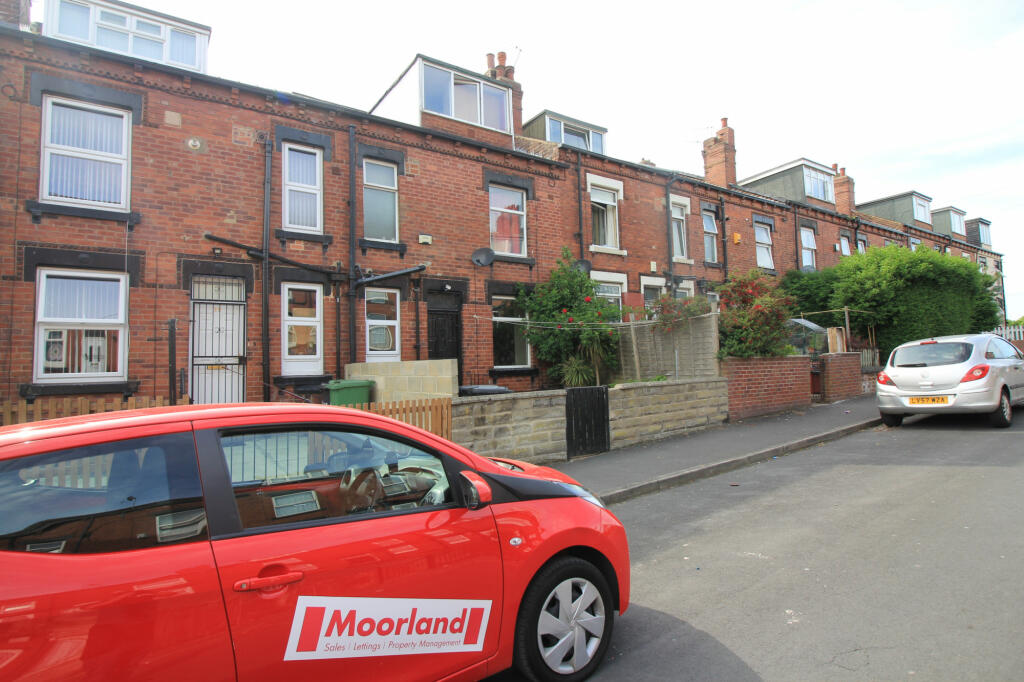
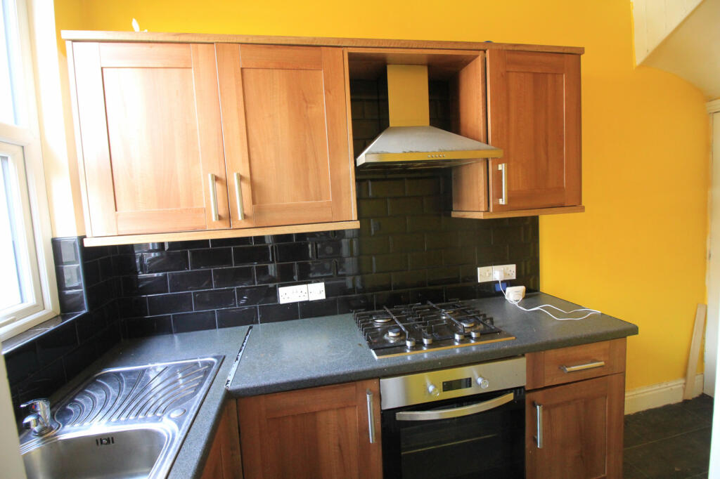
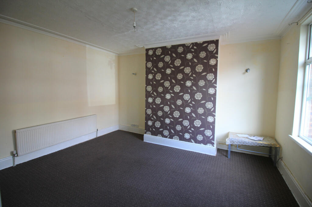
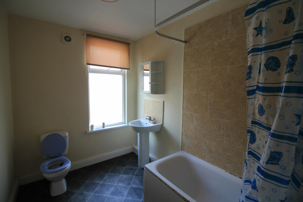
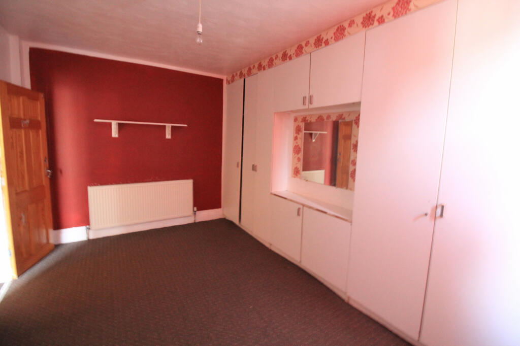
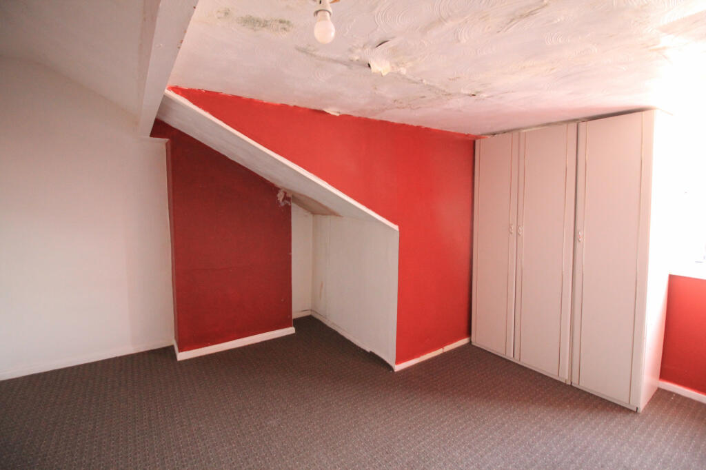
Photo 1 Photo 2 Photo 3 Photo 4 Photo 5 Photo 6
/ 6
Property details
Floor area
74 m²
Deprivation
Decile 1 (179 of 33,755)
Street crime
937 incidents within 1 mile (Apr 2026)
Key features
- Shops and amenities nearby
- Fitted Kitchen
- Double glazing
- Close to public transport
- Garden
- Parking
Additional details
- Parking
- Yes
- Garden
- Yes
Description
LIVING ROOM - Large rectangular living room with oak laminated flooring. This room features large windows to allow plenty of natural light in.
KITCHEN - modern kitchen with integrated oven/hob on dark worktops with cupboards/drawers followed by fitted tiles.
BEDROOMS - Master bedroom. ample space for fitting a double bed. The property comprises of a further bedroom which will fit a double bed.
BATHROOMS - One master Bathroom suite with toilet, sink and a bath/shower combo.
EXTERNALLY - there is a small garden area
Sorry no pets
Successful applicant move in cost £825 rent £825 deposit
Library photos
Listed by
Leeds
Moorland Property Services
Reference: 149851013
EPC Rating & Upgrade Cost
Fetching EPC data… Refresh this page in a moment.
Flood risk
Zone: 1
Risk: Low
Job (default Low)
Rental Range
Estimated market rent for Leeds. Low = conservative, Realistic = average, Optimistic = best case.
Based on Local Authority from postcode lookup → Leeds.
LHA (30th percentile) floor for Leeds: £773/mo (Apr 2025 – Mar 2026)
Location
Nearby
Nearest stations, universities and amenities (distance from property).
| Type | Name | Distance |
|---|---|---|
| Shop | Ashley Stores | 0.1 miles |
| Shop | Karpaty Bakery | 0.1 miles |
| Bus stop | Harehills Lane Darfield Road | 0.1 miles |
| Bus stop | Harehills Lane Berkeley Road | 0.1 miles |
| Hospital | Cancer Genetics Building | 0.2 miles |
| Hospital | Lincoln Wing - A Block Entrance | 0.4 miles |
| University | Northern Film School | 1.5 miles |
| University | Virtuocity | 1.6 miles |
| Train station | Leeds | 1.8 miles |
| Train station | Burley Park | 2.6 miles |
Street-level crime
| Category | Count |
|---|---|
| Violence and sexual offences | 429 |
| Public order | 73 |
| Criminal damage and arson | 67 |
| Other theft | 65 |
| Anti-social behaviour | 56 |
| Drugs | 48 |
| Burglary | 45 |
| Vehicle crime | 43 |
| Shoplifting | 37 |
| Other crime | 30 |
| Robbery | 23 |
| Possession of weapons | 13 |
| Theft from the person | 7 |
| Bicycle theft | 1 |
| Total incidents | 937 |
Within 1 mile during Apr 2026. Source: data.police.uk (England & Wales).
Schools nearby
Nearest open schools with Ofsted ratings (England). Closed schools are not shown. Data from Get Information about Schools and Ofsted.
| Name | Type | Distance | Ofsted |
|---|---|---|---|
| Harehills Primary School | Primary | 0.1 miles | Good — 8 Dec 2015 |
| Co-op Academy Brierley | Other | 0.2 miles | — (No rating) |
| Co-op Academy Nightingale | Primary | 0.2 miles | Good — 21 Sep 2022 |
| Co-op Academy Woodlands | Primary | 0.4 miles | Good — 16 Nov 2023 |
| St Augustine's Catholic Primary School, A Voluntary Academy | Primary | 0.4 miles | Good — 24 Oct 2013 |
Rental Comparables
Residential lets from OpenRent and Rightmove for the area (same bedroom count). Use to validate rent estimates. Student lets are excluded.
| Title | Rent | Beds | Distance | As seen on |
|---|---|---|---|---|
| 2 Bed Terraced House, Bexley Mount, LS8 | £1,400/mo | 2 | 0.25 miles | OpenRent |
| 2 Bed Terraced House, Bayswater Place, LS8 | £850/mo | 2 | 0.35 miles | OpenRent |
Average rent: £1,125/mo (2 listings)