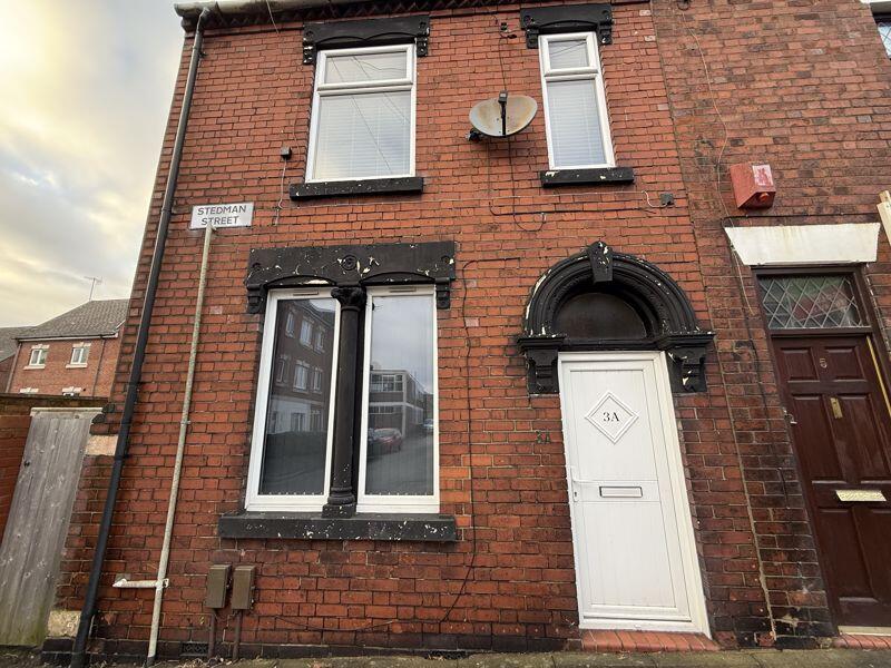
2 STEDMAN STREET
STOKE-ON-TRENT, STOKE-ON-TRENT, STOKE-ON-TRENT ST1 2LR
£595 pcm
Property details
Floor area
64 m²
Council tax band
A
Deprivation
Decile 2 (6,114 of 33,755)
Street crime
564 incidents within 1 mile (Mar 2026)
Key features
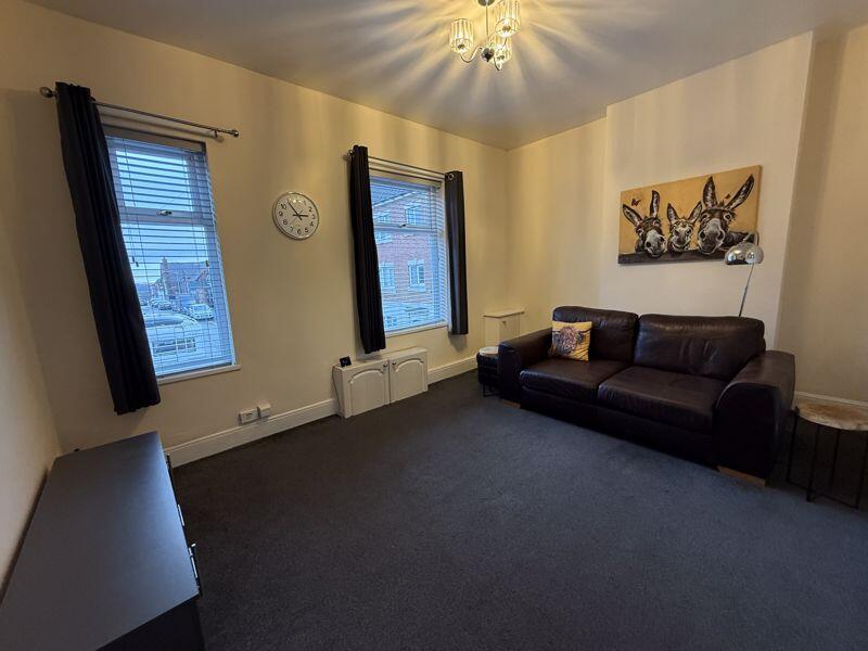
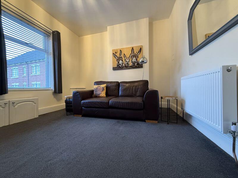
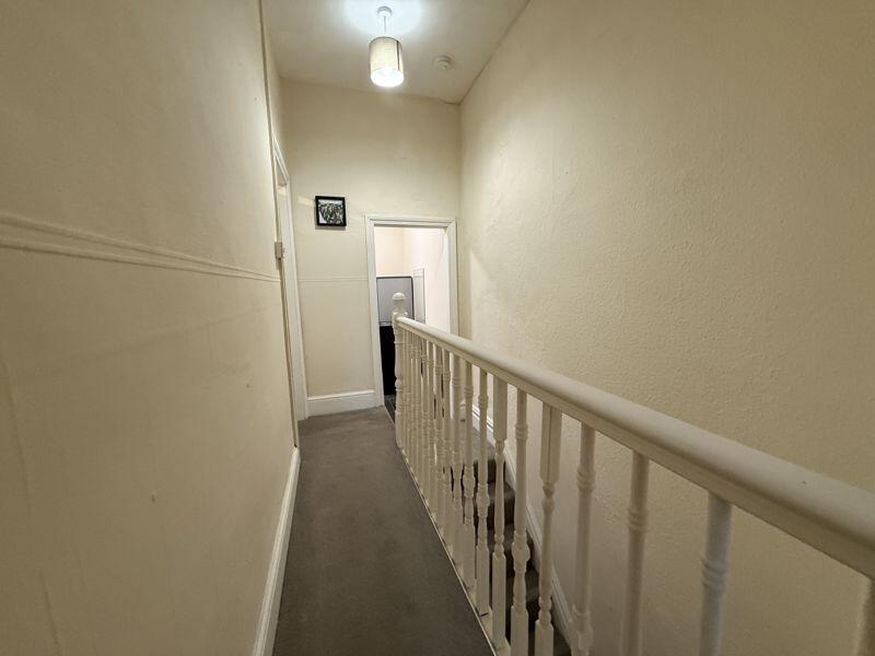
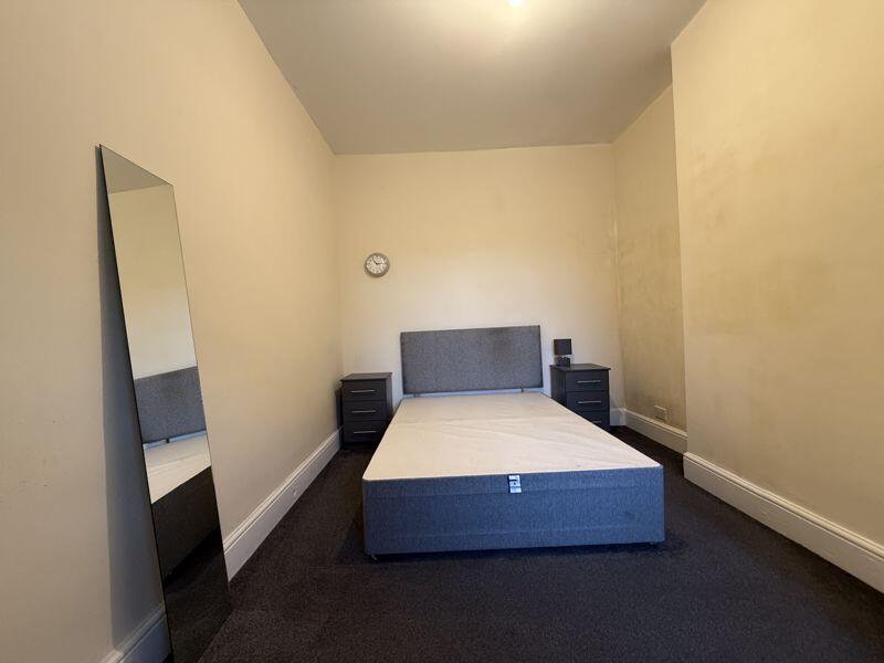
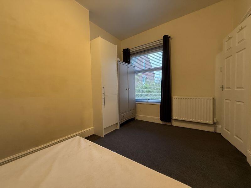
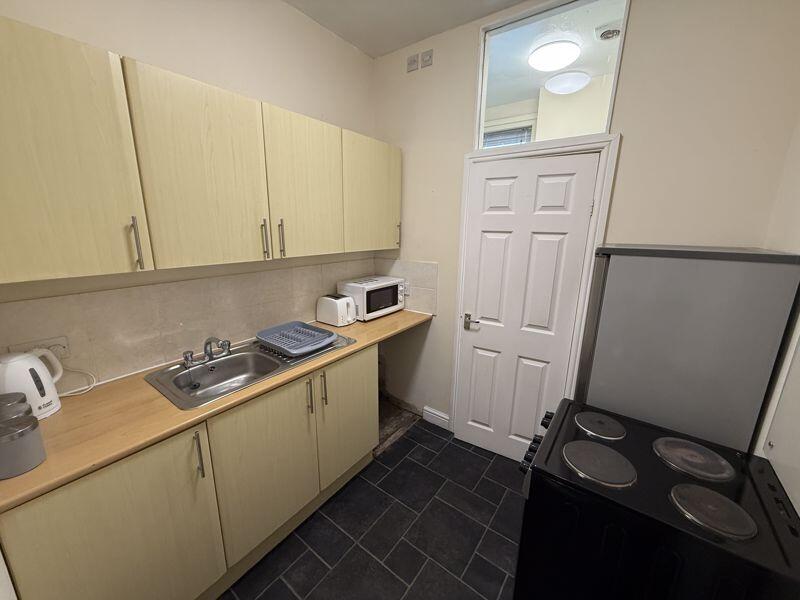
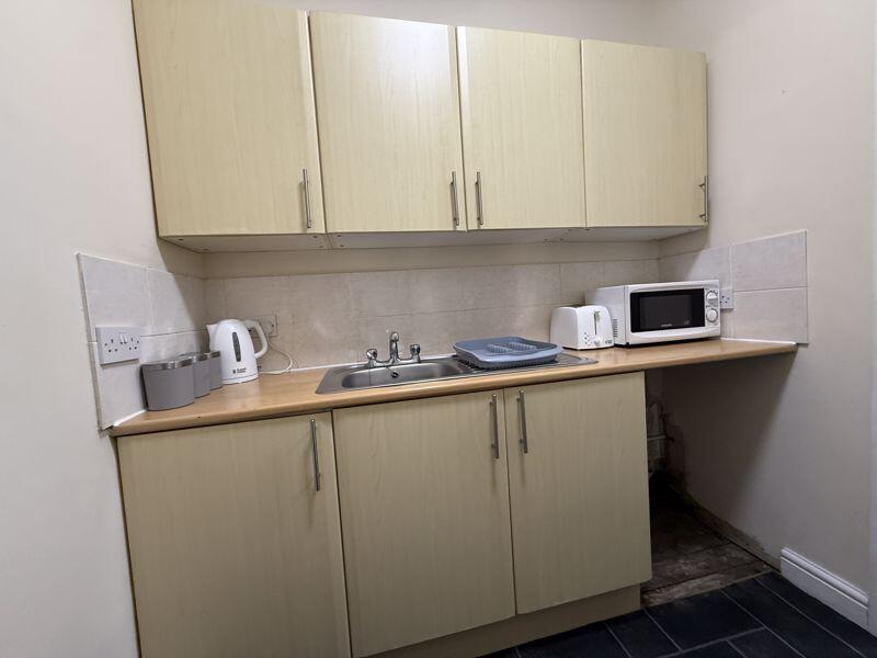
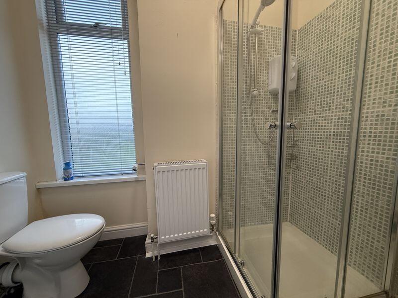
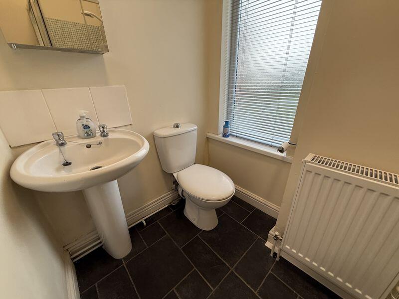
- One Bedroom Self Contained Flat
- Central Heated, Double Glazed
- Close to Hanley
- EPC Band D Rating 60
- Council Tax A
- Ask an adviser to book your viewing
Description
Listed by
Stoke On Trent
Keates Hulme
Reference: 174485285
EPC Rating & Upgrade Cost
Fetching EPC data… Refresh this page in a moment.
Flood risk
Zone: 1
Risk: Low
Job (default Low)
EPC Graphs

Energy Performance Certificate
FENSA Certificates
This property has 2 FENSA certificate(s) on record, indicating window/door installations by FENSA-approved installers.
FENSA Certificate #4843183
Property Details
Street: 2 Stedman Street
Town: STOKE-ON-TRENT
Postcode: ST1 2LR
Installation Details
Items: 2 windows and 1 door
Certificate Issued: 03/07/2007
Work Completed: 10/05/2007
This certificate data was retrieved from FENSA's database
FENSA Certificate #4366012
Property Details
Street: 2 Stedman Street
Town: STOKE-ON-TRENT
Postcode: ST1 2LR
Installation Details
Items: 2 windows and 1 door
Certificate Issued: 15/01/2007
Work Completed: 14/11/2006
This certificate data was retrieved from FENSA's database
What is FENSA? FENSA (Fenestration Self-Assessment Scheme) is a government-authorised scheme that monitors building regulation compliance for replacement windows and doors. Certificates indicate that work was completed by FENSA-approved installers.
Rental Range
Estimated market rent for Stoke-on-Trent. Low = conservative, Realistic = average, Optimistic = best case.
Based on Local Authority from postcode lookup → Stoke-on-Trent.
LHA (30th percentile) floor for Staffordshire North: £424/mo (Apr 2025 – Mar 2026)
Location
Nearby
Nearest stations, universities and amenities (distance from property).
| Type | Name | Distance |
|---|---|---|
| Bus stop | Grove School | 0.1 miles |
| Bus stop | Dundas Street | 0.1 miles |
| Shop | Exodos | 0.5 miles |
| Shop | Blinkin-ink! | 0.5 miles |
| Train station | Stoke-on-Trent | 1.8 miles |
| Hospital | Haywood Hospital Walk-in Centre | 1.9 miles |
| Train station | Longport | 2.2 miles |
| Hospital | Royal Stoke University Hospital | 2.8 miles |
| University | Keele University | 4.8 miles |
| University | Buxton & Leek College | 7.9 miles |
Street-level crime
| Category | Count |
|---|---|
| Violence and sexual offences | 178 |
| Anti-social behaviour | 127 |
| Criminal damage and arson | 54 |
| Public order | 44 |
| Other theft | 28 |
| Shoplifting | 28 |
| Vehicle crime | 23 |
| Drugs | 21 |
| Burglary | 16 |
| Robbery | 13 |
| Other crime | 12 |
| Possession of weapons | 8 |
| Bicycle theft | 7 |
| Theft from the person | 5 |
| Total incidents | 564 |
Within 1 mile during Mar 2026. Source: data.police.uk (England & Wales).
Schools nearby
Nearest open schools with Ofsted ratings (England). Closed schools are not shown. Data from Get Information about Schools and Ofsted.
| Name | Type | Distance | Ofsted |
|---|---|---|---|
| Grove Academy | Primary | 0.1 miles | Good — 15 Jul 2024 |
| St George and St Martin's Catholic Academy | Primary | 0.1 miles | Good — 29 May 2015 |
| Hamilton Academy | Primary | 0.2 miles | Good — 23 Oct 2014 |
| Northwood Broom Academy | Primary | 0.3 miles | Good — 4 Mar 2013 |
| Sneyd Academy | Primary | 0.5 miles | Good — 1 Aug 2023 |
Rental Comparables
Residential lets from OpenRent and Rightmove for the area (same bedroom count). Use to validate rent estimates. Student lets are excluded.
Average rent: £673/mo (50 listings)