Mayflower Lane
Grimsby, North East Lincolnshire, DN33 3FB
£925 pcm
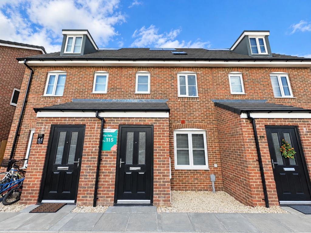
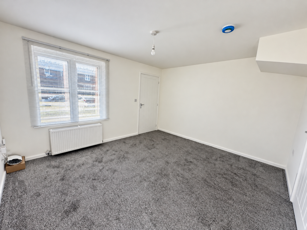
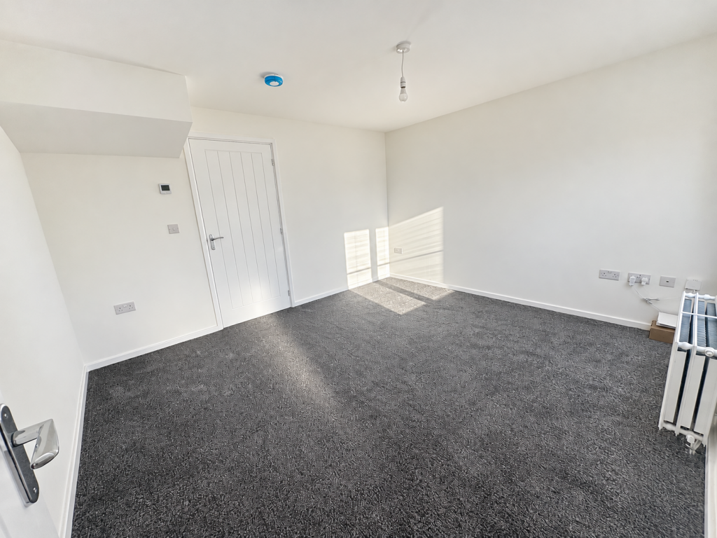
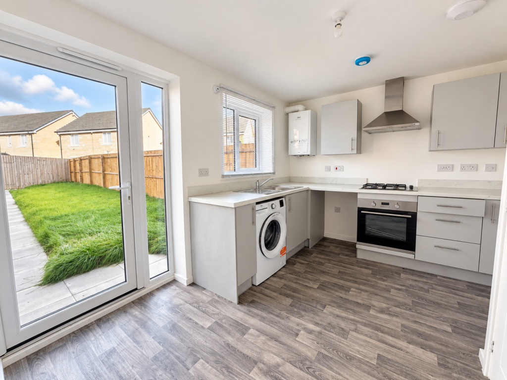
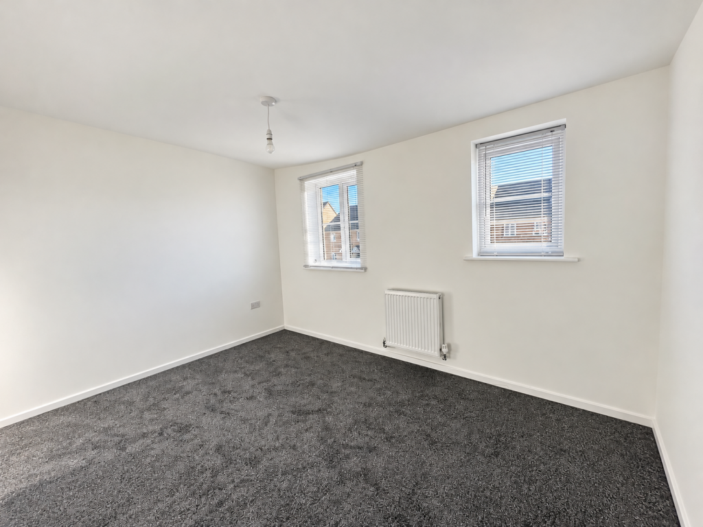
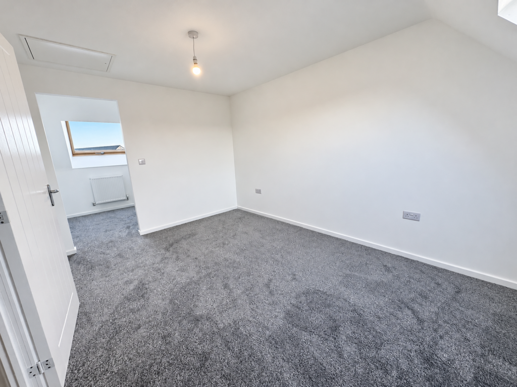
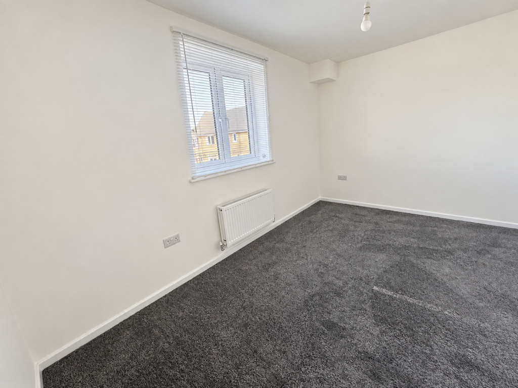
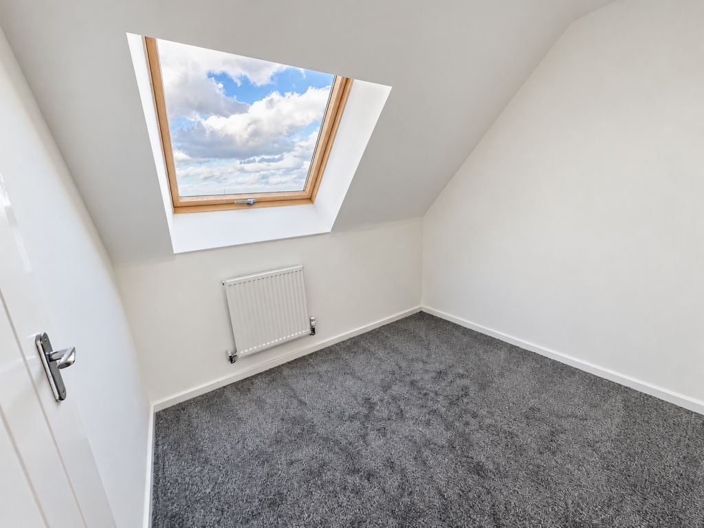
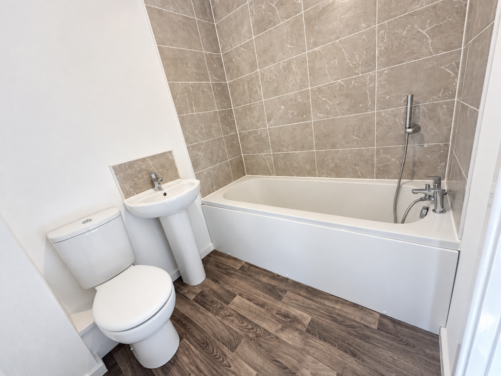
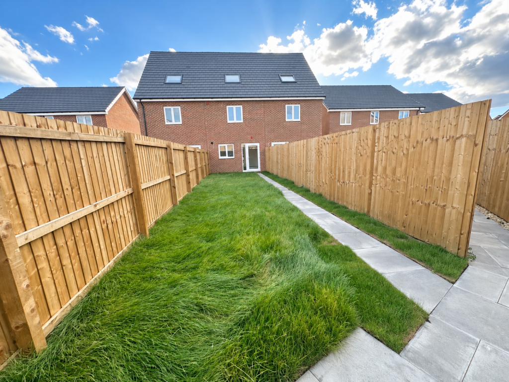
Photo 1 Photo 2 Photo 3 Photo 4 Photo 5 Photo 6 Photo 7 Photo 8 Photo 9 Photo 10 Photo 11
/ 11
Property details
Street crime
169 incidents within 1 mile (Aug 2026)
Key features
- New appliances & flooring Included
Additional details
- Parking
- Driveway
- Garden
- Rear garden
Description
This family home is spread over three floors and offers three bedrooms. Along with flowing living spaces on the ground floor and two well-proportioned first floor bedrooms, the Braunton includes a spacious bedroom on the top floor. Use it as a luxurious sleeping space, a playroom, impressive home office, or hobby room - whatever suits your lifestyle best.
Listed by
Newcastle Upon Tyne
BLA Property & Maintenance Limited
Reference: 94342356
EPC ratings on this postcode
We don't have a matched EPC for this property yet. Below are efficiency scores and details for other addresses on this postcode.
| Address | Current | Potential | Floor area | Age band | Type |
|---|---|---|---|---|---|
| 36 Mayflower Lane, Grimsby | 90 | 90 | 85 m² | — | Detached |
| 39 Mayflower Lane, Grimsby | 90 | 90 | 74 m² | — | Detached |
| 40 Mayflower Lane, Grimsby | 90 | 90 | 92 m² | — | Detached |
| 41 Mayflower Lane, Grimsby | 90 | 90 | 74 m² | — | Detached |
| 42 Mayflower Lane, Scartho Top, Grimsby | 91 | 91 | 92 m² | — | Terraced |
| 43 Mayflower Lane, Grimsby | 89 | 89 | 111 m² | — | Detached |
| 44 Mayflower Lane, Grimsby | 90 | 90 | 92 m² | — | Detached |
| 45 Mayflower Lane, Grimsby | 90 | 90 | 72 m² | — | Terraced |
| 46 Mayflower Lane, Grimsby | 92 | 92 | 116 m² | — | Detached |
| 47 Mayflower Lane, Grimsby | 91 | 91 | 72 m² | — | Terraced |
| 51 Mayflower Lane, Scartho Top, Grimsby | 89 | 89 | 70 m² | — | Terraced |
| 53 Mayflower Lane, Scartho Top, Grimsby | 90 | 90 | 70 m² | — | Terraced |
| 55 Mayflower Lane, Scartho Top, Grimsby | 90 | 90 | 70 m² | — | Terraced |
| 57 Mayflower Lane, Scartho Top, Grimsby | 89 | 89 | 70 m² | — | Terraced |
| 58 Mayflower Lane, GRIMSBY | 91 | 91 | 72 m² | — | Terraced |
Flood risk
Zone: 1
Risk: Low
Job (default Low)
Registered land (INSPIRE)
This location falls inside an HM Land Registry INSPIRE registered freehold polygon.
Plot: ~51,278 m² (12.67 acres)
Source: HM Land Registry INSPIRE Index Polygons.
Rental Range
Estimated market rent for Yorkshire and The Humber. Low = conservative, Realistic = average, Optimistic = best case.
Based on Postcode area DN → Yorkshire and The Humber.
LHA (30th percentile) floor for Grimsby: Apr 2025 – Mar 2026
Location
Nearby
Nearest stations, universities and amenities (distance from property).
| Type | Name | Distance |
|---|---|---|
| Shop | Aldi | 0.2 miles |
| Bus stop | Caspian Crescent | 0.3 miles |
| Shop | Beechwood Convenience Store (premier) | 0.5 miles |
| University | University Centre Grimsby | 1.3 miles |
| University | University Centre (University of Hull) | 1.3 miles |
| Hospital | Harrison House | 1.8 miles |
| Hospital | St Hughs | 1.8 miles |
| Train station | Grimsby Town | 1.9 miles |
| Train station | Great Coates | 2.6 miles |
Street-level crime
| Category | Count |
|---|---|
| Violence and sexual offences | 80 |
| Criminal damage and arson | 28 |
| Public order | 14 |
| Anti-social behaviour | 11 |
| Other crime | 7 |
| Shoplifting | 7 |
| Burglary | 6 |
| Possession of weapons | 5 |
| Drugs | 4 |
| Other theft | 4 |
| Bicycle theft | 2 |
| Vehicle crime | 1 |
| Total incidents | 169 |
Within 1 mile during Aug 2026. Source: data.police.uk (England & Wales).
Schools nearby
Nearest open schools with Ofsted ratings (England). Closed schools are not shown. Data from Get Information about Schools and Ofsted.
| Name | Type | Distance | Ofsted |
|---|---|---|---|
| Woodlands Academy | Primary | 0.4 miles | Requires improvement — 22 May 2023 |
| Sevenhills Academy | Other | 0.8 miles | Good — 5 Oct 2011 |
| Springfield Primary Academy | Primary | 0.8 miles | Good — 19 Sep 2018 |
| Fairfield Academy | Primary | 0.8 miles | Good — 17 Jan 2011 |
| Oasis Academy Nunsthorpe | Primary | 0.9 miles | Good — 21 Nov 2021 |
Rental Comparables
Residential lets from OpenRent and Rightmove for the area. Bedroom counts vary — use the Beds column to compare like-for-like lets. Student lets are excluded.
Average rent: £936/mo (27 listings)
Enter House Number
Enter the house number to help us retrieve more accurate pricing history and property data.
Please log in to submit or correct the house number for this listing.
Log in to continue