APARTMENT 22
52 HERIOT STREET, LIVERPOOL, MERSEYSIDE L5 7AA
£950 pcm

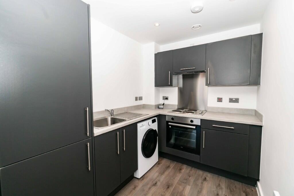
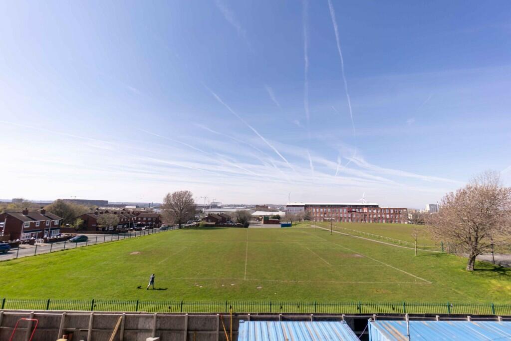
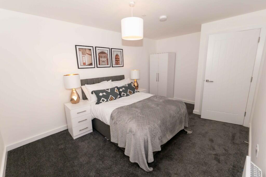
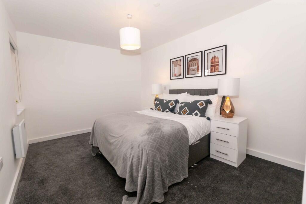

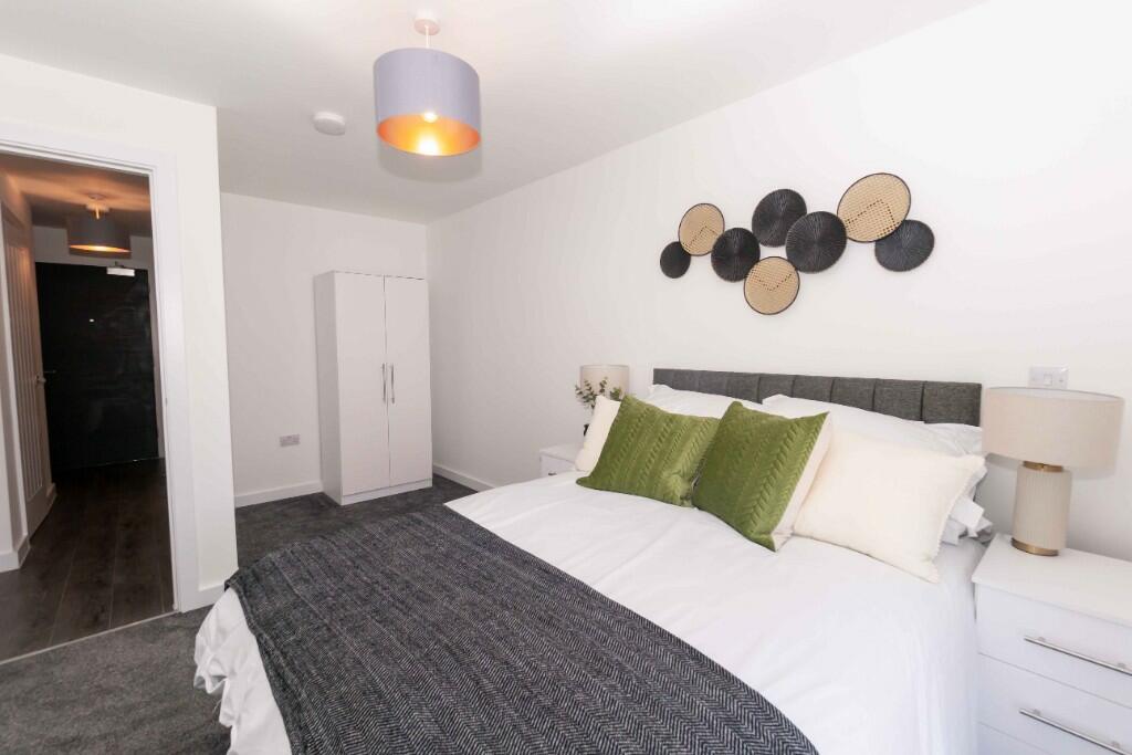
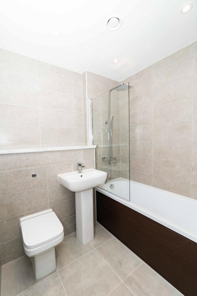
Photo 1 Photo 2 Photo 3 Photo 4 Photo 5 Photo 6 Photo 7 Photo 8
/ 8
Property details
Street crime
545 incidents within 1 mile (Apr 2026)
Key features
- NO BILLS INCLUDED IN THE RENT
- PROFESSIOANLS & STUDENTS WELCOME
- HIGH GLOOS KITCHEN UNITS
- IMMEDIATE MOVE IN
- BRILLIANT APARTMENT
- FULLY TILED BATHROOM WITH BATH AND SHOWER
- PARKING AVAILABLE
- CLOSE TO ALL AMENITIES
- AVAILABLE TO MOVE IN NOW
Additional details
- Heating
- Double glazing, Central
- Parking
- Driveway, Private
- Garden
- Back garden
Description
Brilliant 2 bed apartment for rent in good location .
Fully furnished to a lovely spec throughout .
Private patio to the front of the property .
Parking available
2 decent size bedrooms .
brand new 1st to live here .
Listed by
Liverpool
Legacie Management & Lettings
Reference: 150212996
Flood risk
Zone: 1
Risk: Low
Job (default Low)
Rental Range
Estimated market rent for North West. Low = conservative, Realistic = average, Optimistic = best case.
Based on Postcode area L → North West.
LHA (30th percentile) floor for Greater Liverpool: £593/mo (Apr 2025 – Mar 2026)
Location
Nearby
Nearest stations, universities and amenities (distance from property).
| Type | Name | Distance |
|---|---|---|
| Shop | Kirkdale General Store | 0.1 miles |
| Bus stop | STANLEY ROAD/STERLING WAY | 0.1 miles |
| Bus stop | STANLEY ROAD/BOUNDARY STREET | 0.1 miles |
| Shop | MP Food News & Wine Store | 0.2 miles |
| Train station | Sandhills | 0.3 miles |
| Train station | Bank Hall | 0.7 miles |
| Hospital | Rathbone Hospital | 3.2 miles |
| Hospital | DRIVE THROUGH PHLEBOTOMY | 3.4 miles |
| University | University of Liverpool Leahurst Veterinary School | 9.7 miles |
| University | Edge Hill University | 10.1 miles |
Street-level crime
| Category | Count |
|---|---|
| Violence and sexual offences | 183 |
| Public order | 62 |
| Anti-social behaviour | 60 |
| Shoplifting | 58 |
| Drugs | 54 |
| Criminal damage and arson | 42 |
| Vehicle crime | 25 |
| Other theft | 21 |
| Other crime | 17 |
| Burglary | 10 |
| Possession of weapons | 6 |
| Bicycle theft | 3 |
| Robbery | 2 |
| Theft from the person | 2 |
| Total incidents | 545 |
Within 1 mile during Apr 2026. Source: data.police.uk (England & Wales).
Schools nearby
Nearest open schools with Ofsted ratings (England). Closed schools are not shown. Data from Get Information about Schools and Ofsted.
| Name | Type | Distance | Ofsted |
|---|---|---|---|
| Notre Dame Catholic Academy | Secondary | 0.3 miles | Requires improvement — 17 Jul 2022 |
| St John's Catholic Primary School | Primary | 0.5 miles | — (Inspected (no overall grade)) |
| Our Lady Immaculate Catholic Primary School | Primary | 0.5 miles | Good — 21 Nov 2023 |
| The Beacon Church of England Primary School | Primary | 0.6 miles | Outstanding — 20 Mar 2014 |
| The Trinity Catholic Academy | Primary | 0.6 miles | Inadequate — 13 May 2019 |
Rental Comparables
Residential lets from OpenRent and Rightmove for the area (same bedroom count). Use to validate rent estimates. Student lets are excluded.
| Title | Rent | Beds | Distance | As seen on |
|---|---|---|---|---|
| 2 Bed Flat, Tobacco Wharf, L5 | £1,200/mo | 2 | 0.15 miles | OpenRent |
| 2 Bed Terraced House, Gorst St, L4 | £795/mo | 2 | 0.78 miles | OpenRent |
Average rent: £998/mo (2 listings)