2 BROOKLYN AVENUE
MANCHESTER, URMSTON, GREATER MANCHESTER M41 6PF
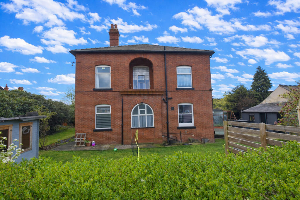
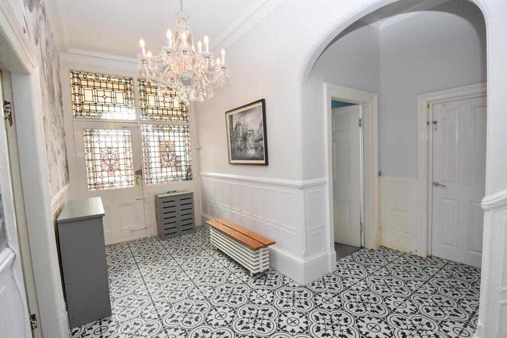
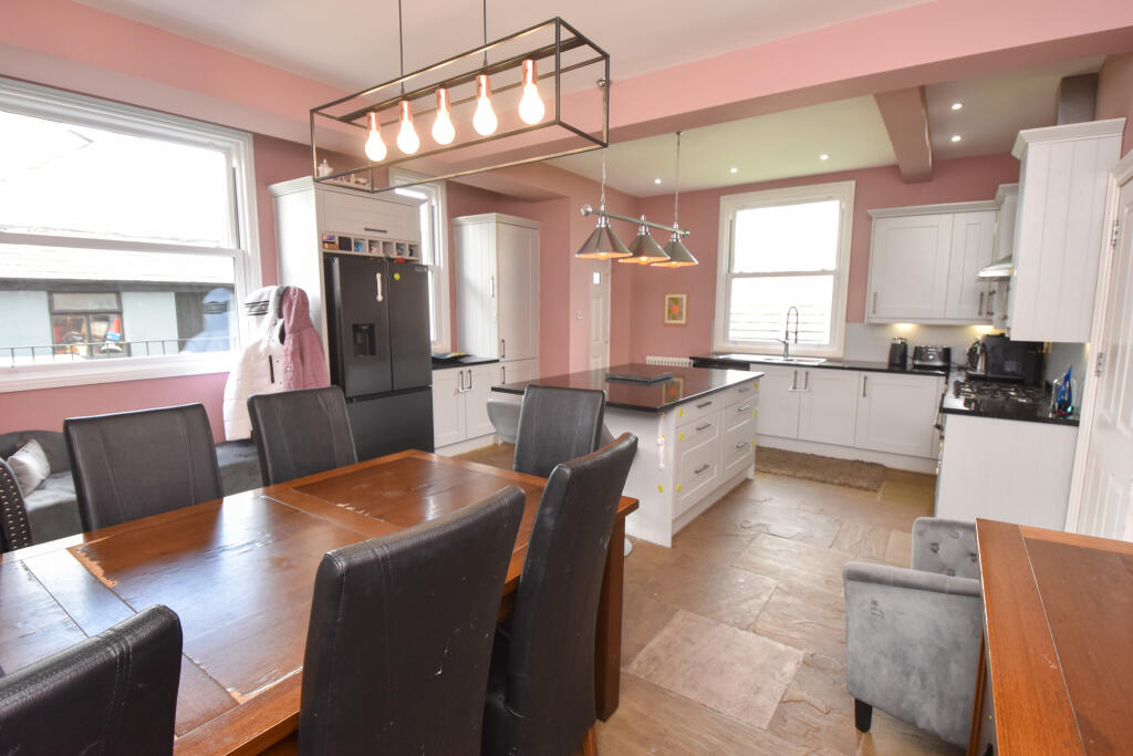
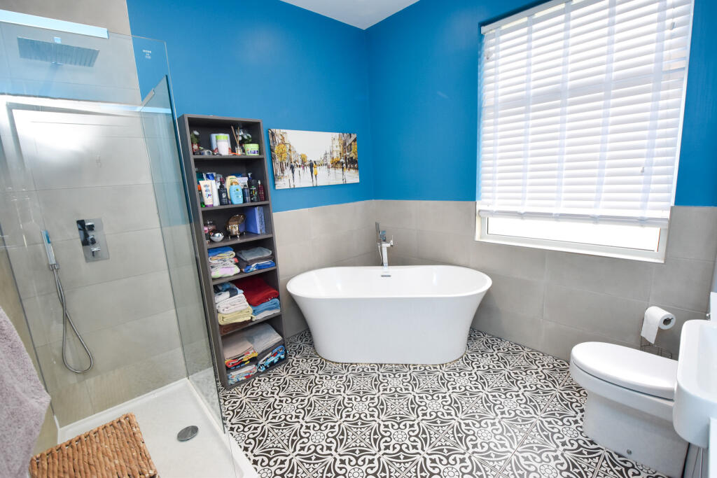
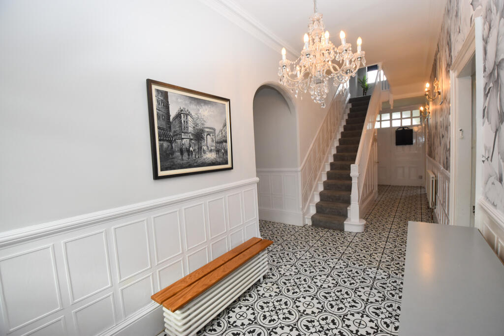
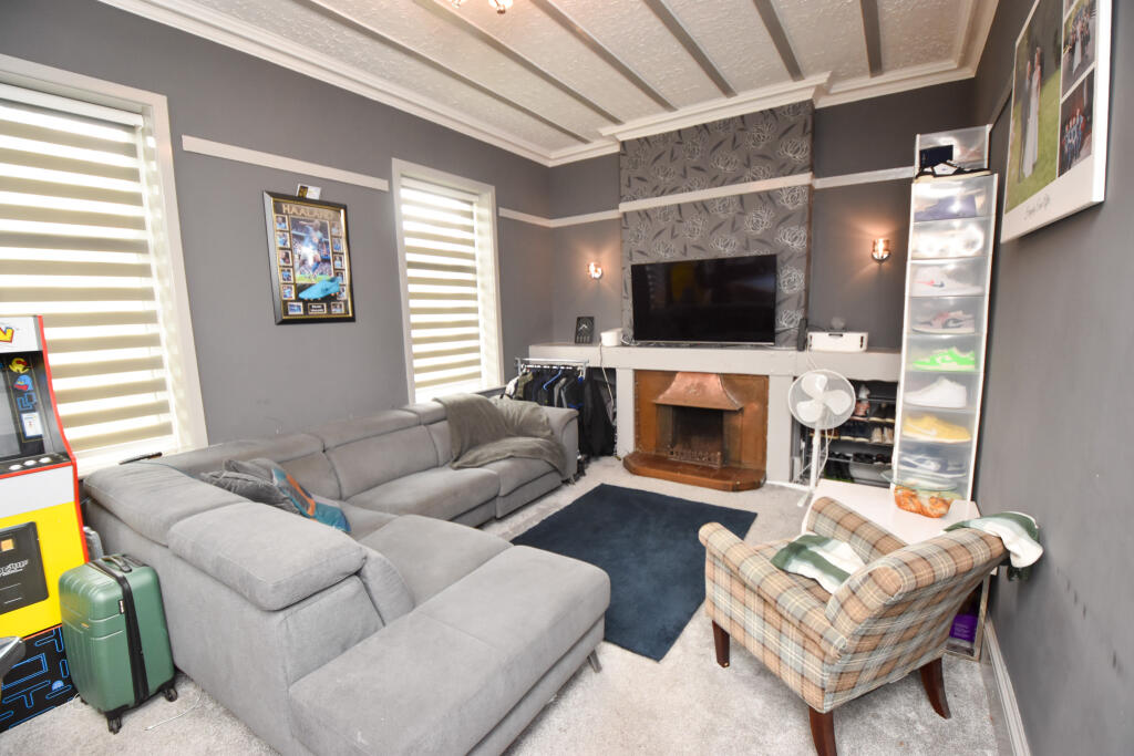


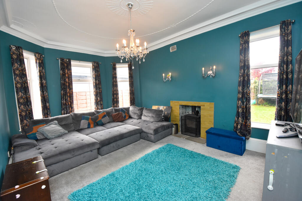
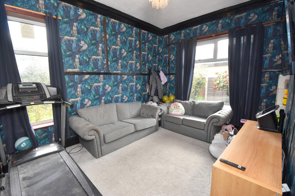
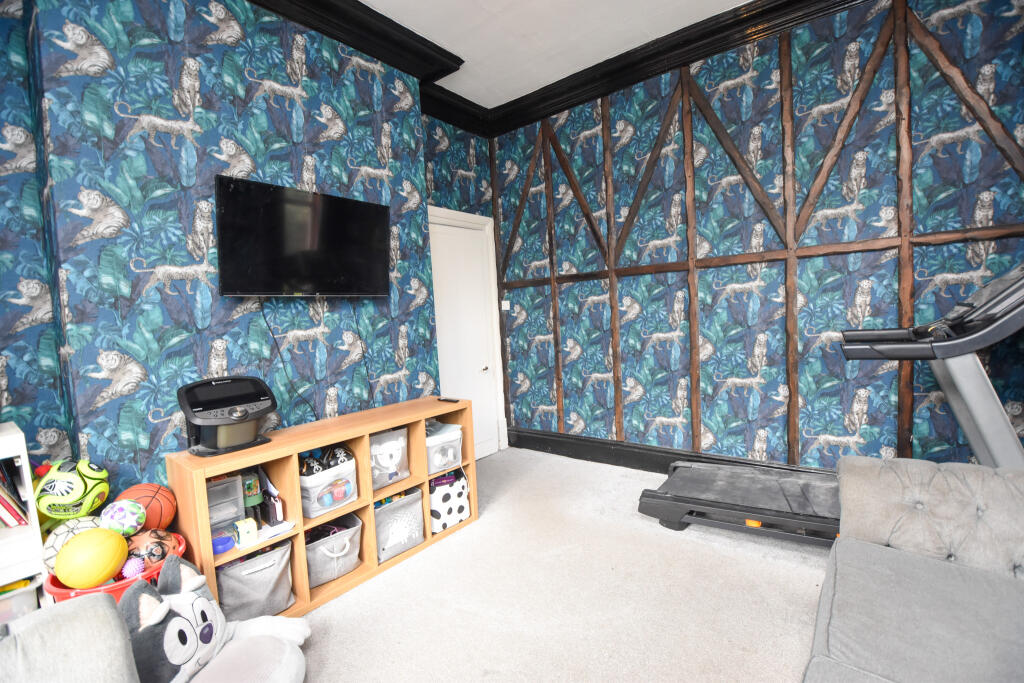
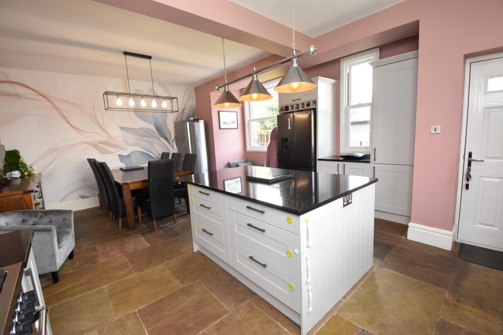
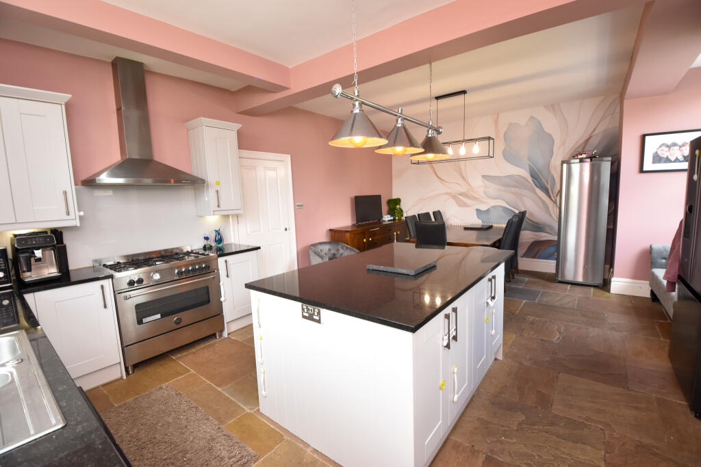
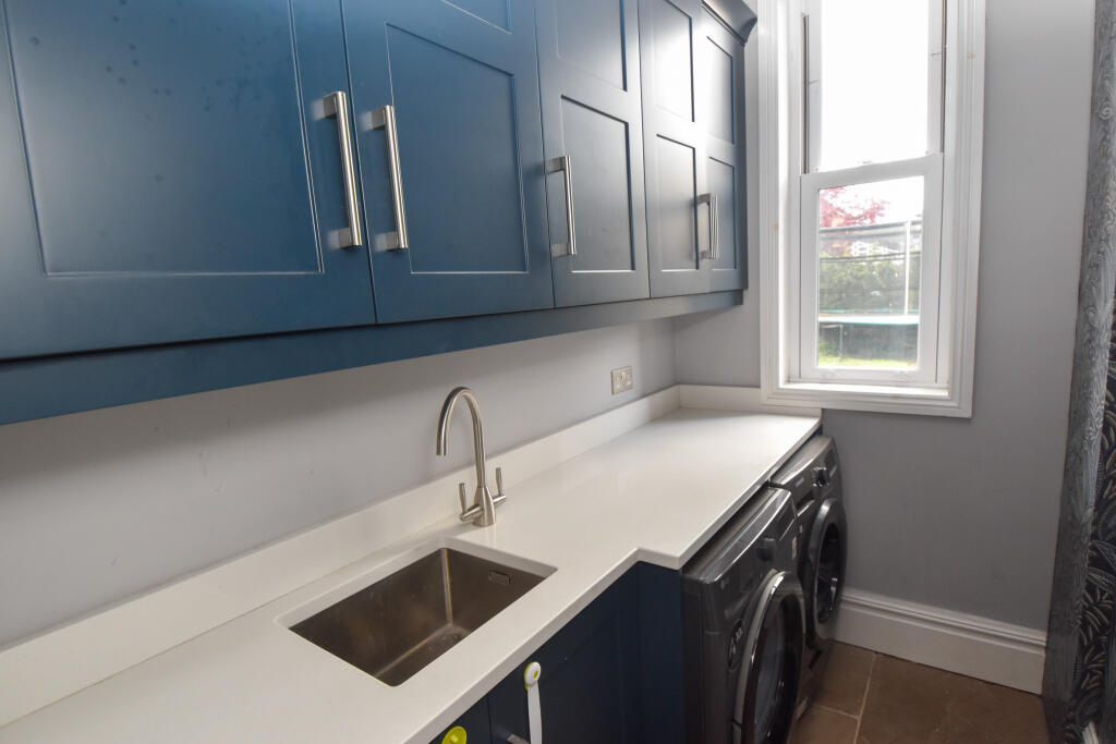
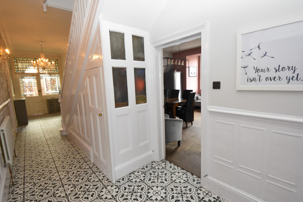
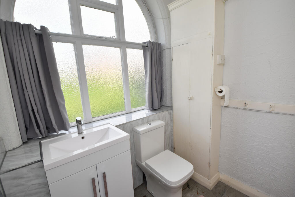
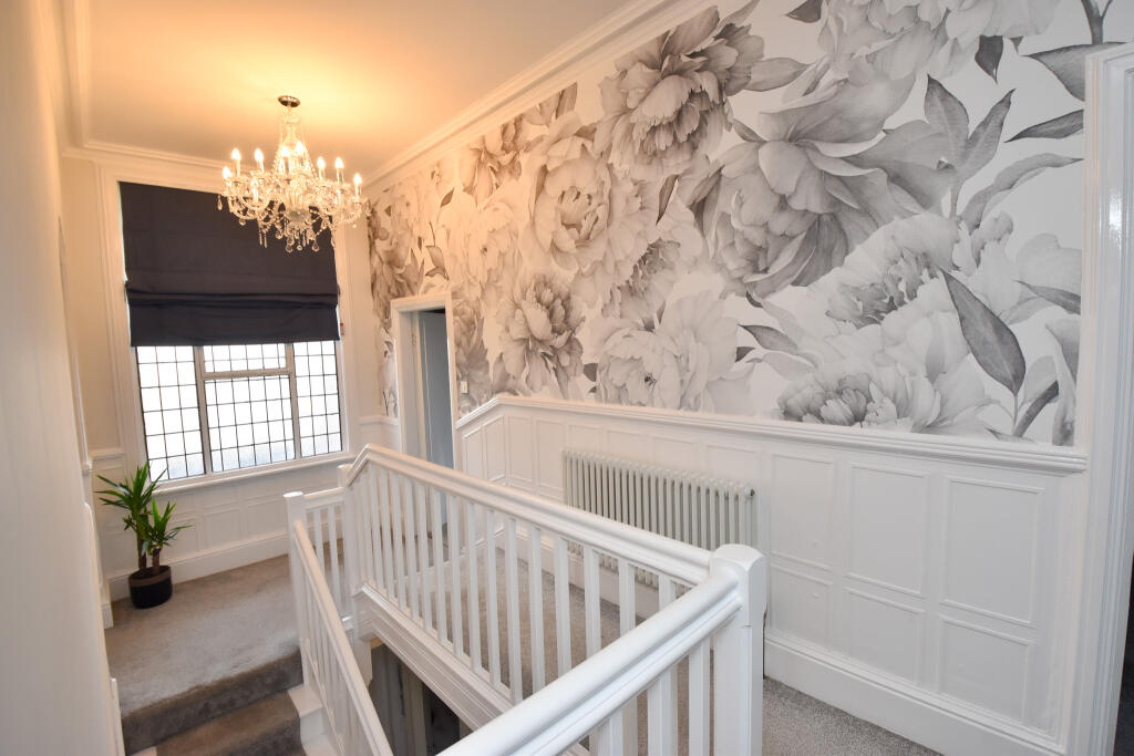
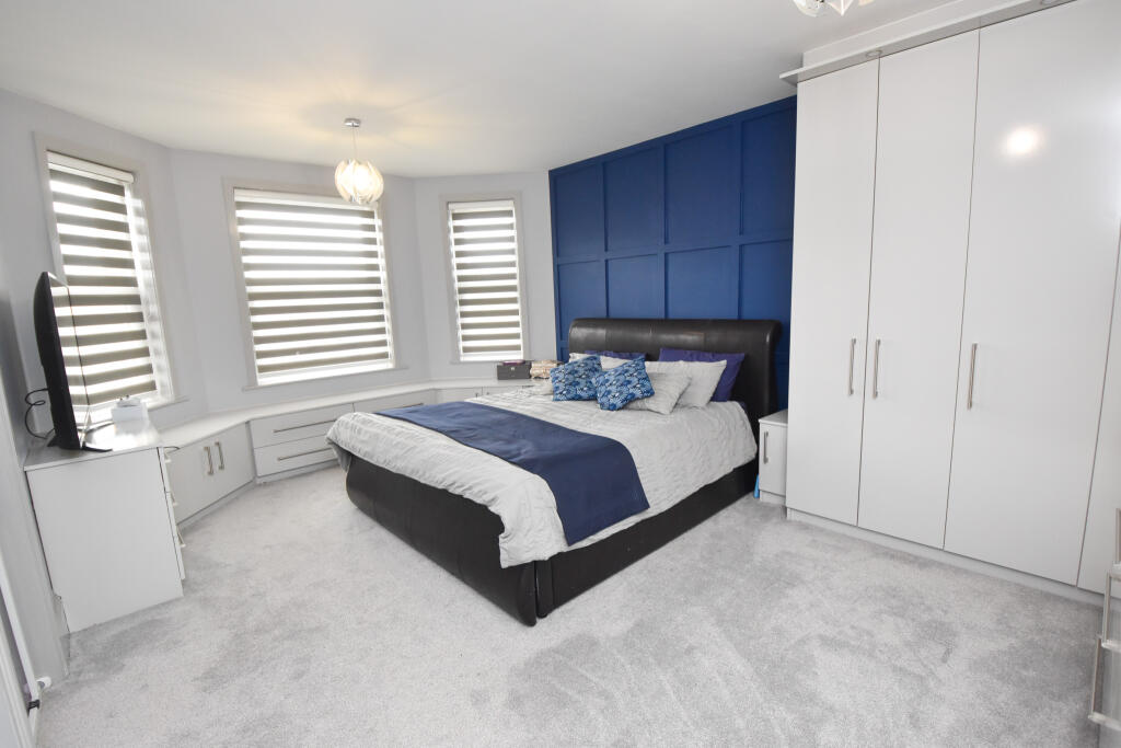
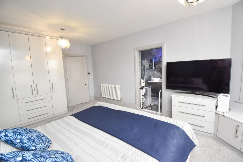
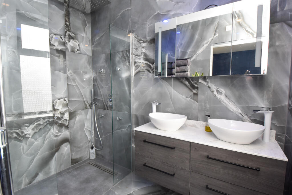
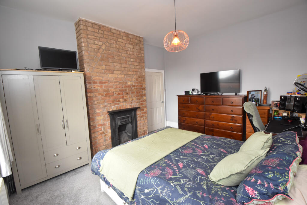
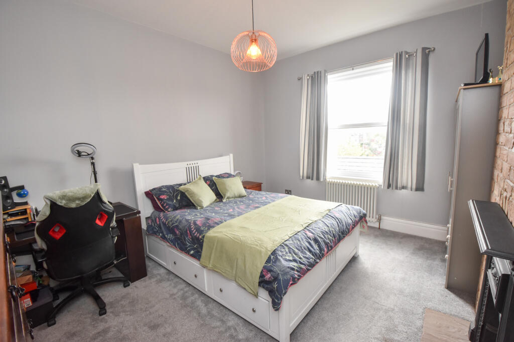
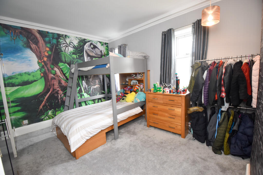
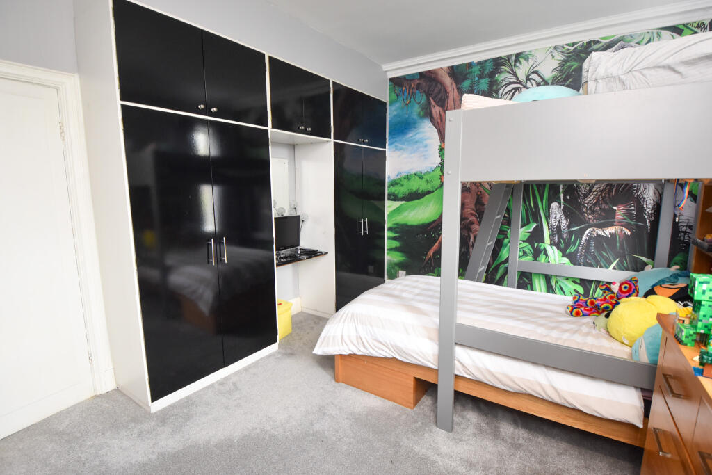
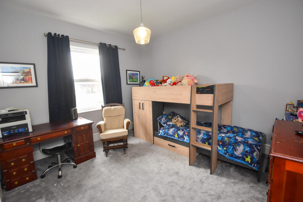
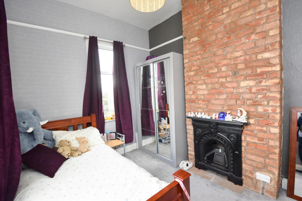
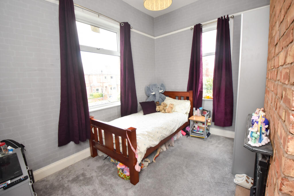
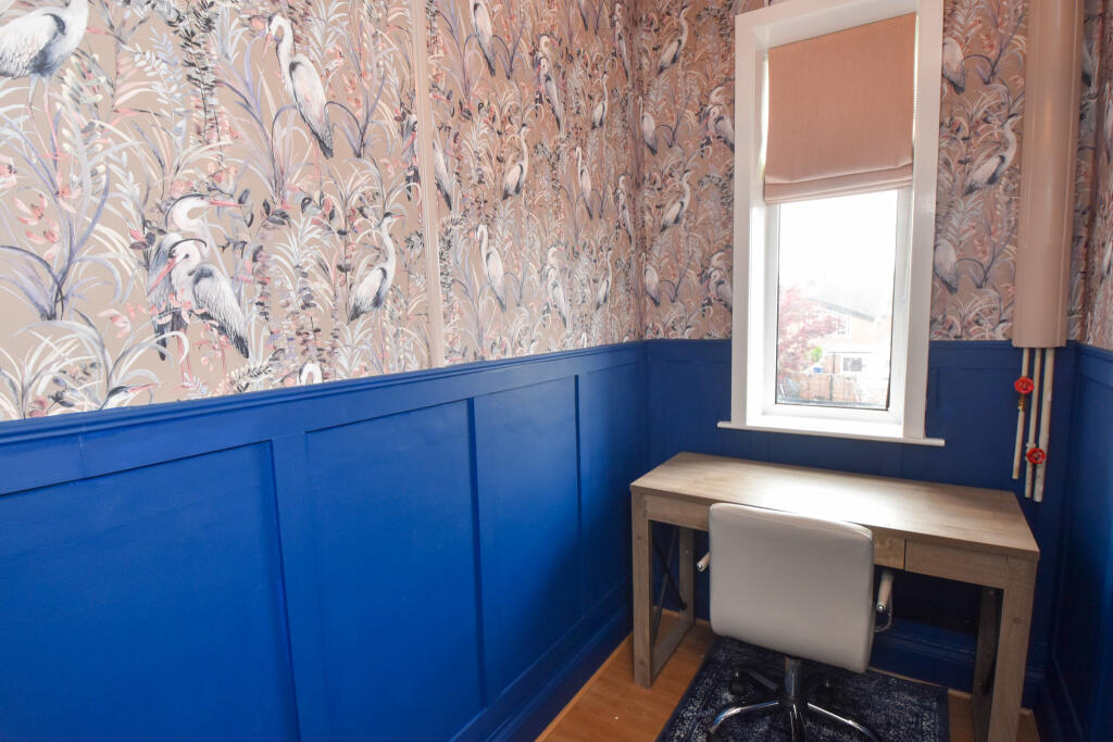
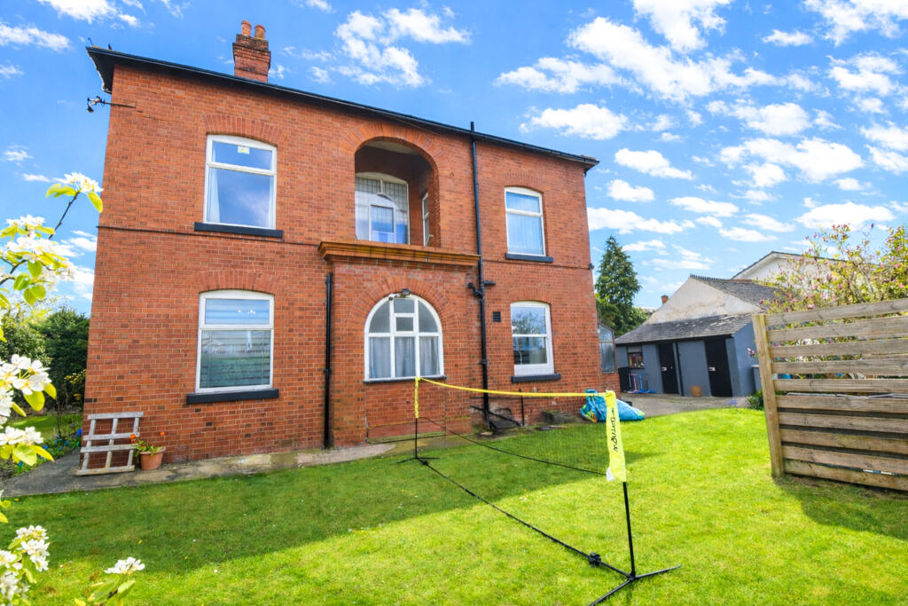
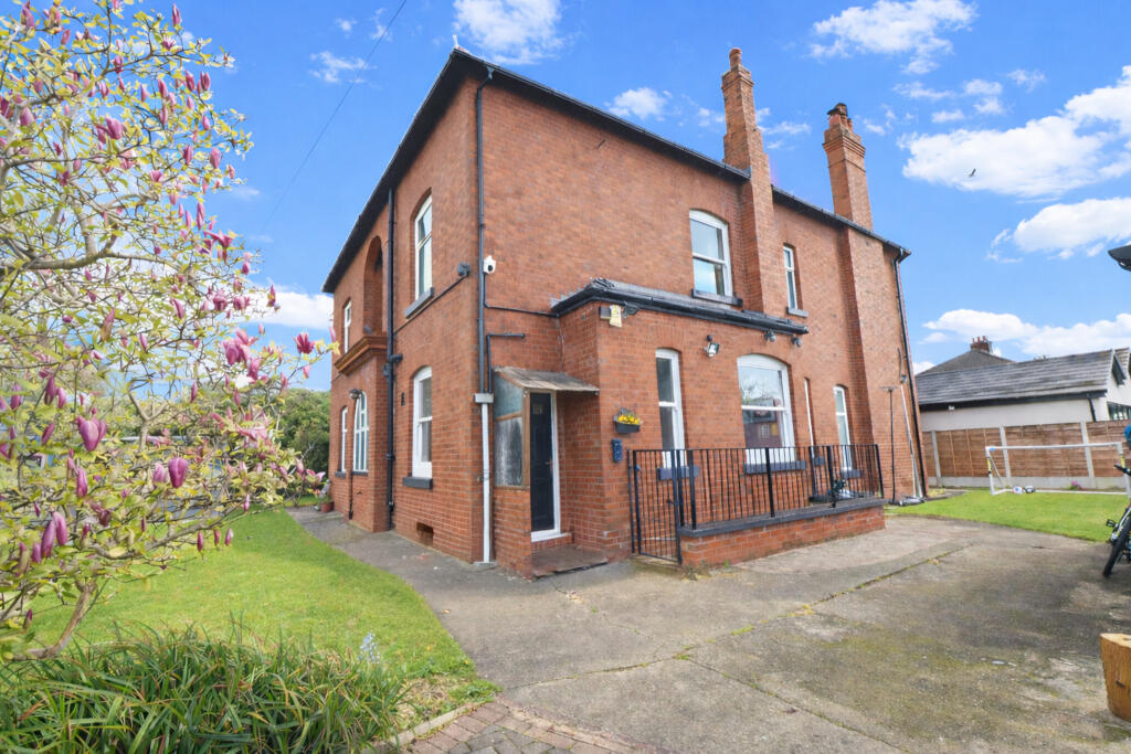

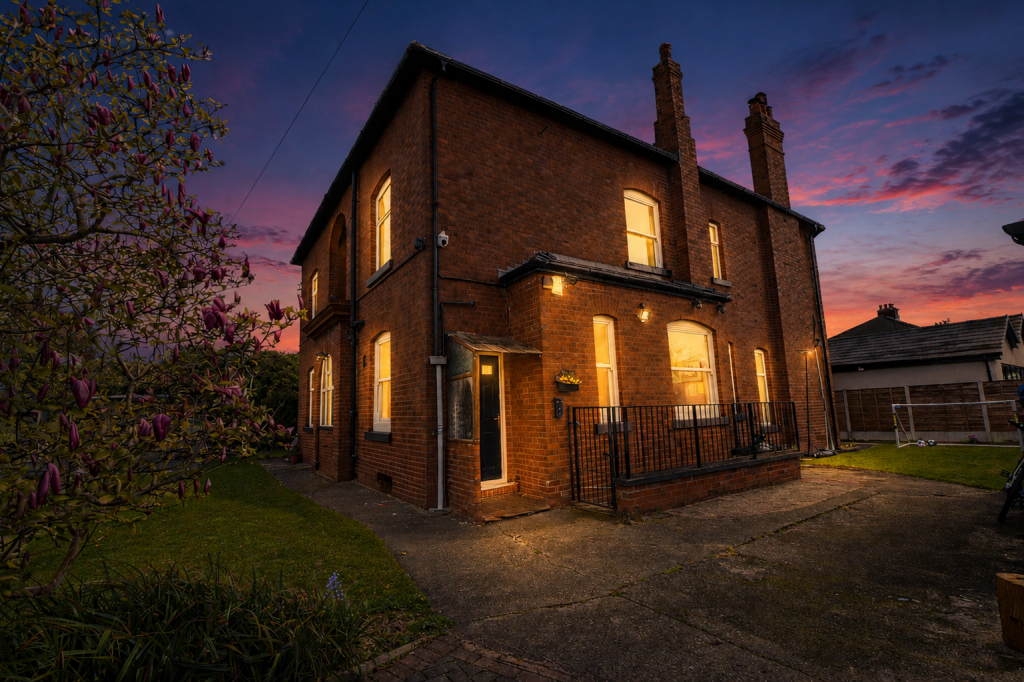
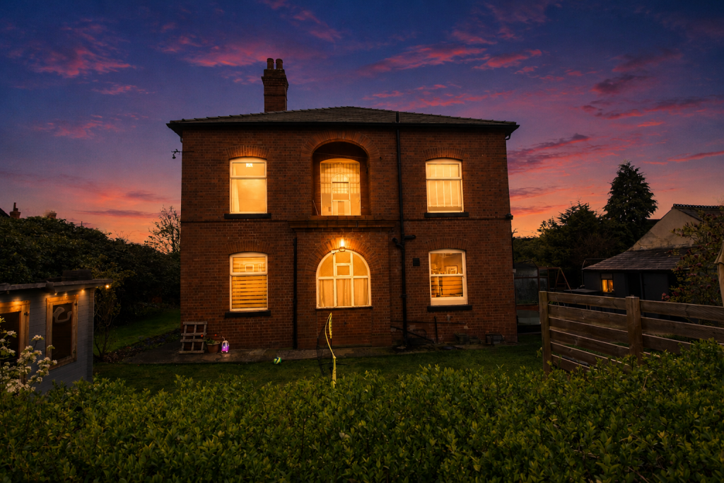
Five Bedroom Detached Gallery Gallery Gallery Gallery Gallery Gallery Gallery Gallery Gallery Gallery Gallery Gallery Gallery Gallery Gallery Gallery Gallery Gallery Gallery Gallery Gallery Gallery Gallery Gallery Gallery Gallery Gallery Gallery Gallery Gallery Gallery Gallery Gallery Gallery Gallery
/ 36
Property details
Tenure
FREEHOLD
Floor area
225 m²
EPC rating
E
Year built
England and Wales: 1900-1929
Last sold
£675,000 Jul 2019
Price per m²
£4,111/m²
Local average
£584,481 (+58.3%)
Deprivation
Decile 8 (26,362 of 33,755)
Street crime
0 incidents within 1 mile (Apr 2026)
Key features
- Kitchen-Diner
- No Chain
- Period Features
- Detached garage
- Off Road parking for several cars
- Cellar Chambers
- Modern fitted kitchen Contemporary kitchen
- Modern bathroom
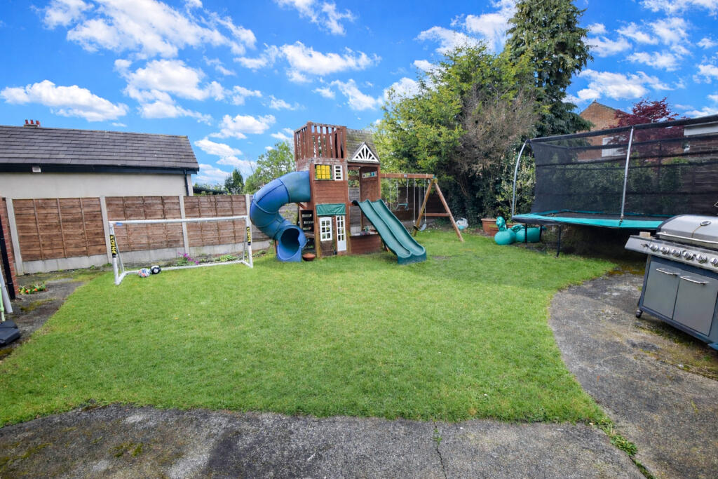
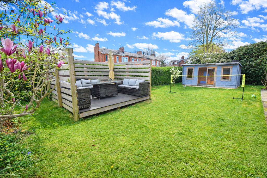
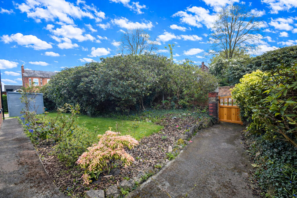
- Mature Garden
- Close to train station
Additional details
- Parking
- Yes
- Garden
- Yes
- Required access
- No
- Rights of way
- No
Description
FeaturesClose to AmenitiesIn catchment forGrammar SchoolFully Double Glazed
Listed by
South Manchester
Moving Onwards Limited
Reference: 174560618
EPC Rating & Upgrade Cost
Current rating: E
Potential rating: D
Inspection date: 24/03/2026
Expiry date: 23/03/2036
Current heating cost: £3,741/year
Potential heating cost: £2,811/year
Est. upgrade cost to C: £18,250
Recommendations
- 50 mm internal or external wall insulation (£7,500 - £11,000)
- Solar photovoltaic panels, 2.5 kWp (£8,000 - £10,000)
Flood risk
Zone: 1
Risk: Low
Job (default Low)
Floorplans
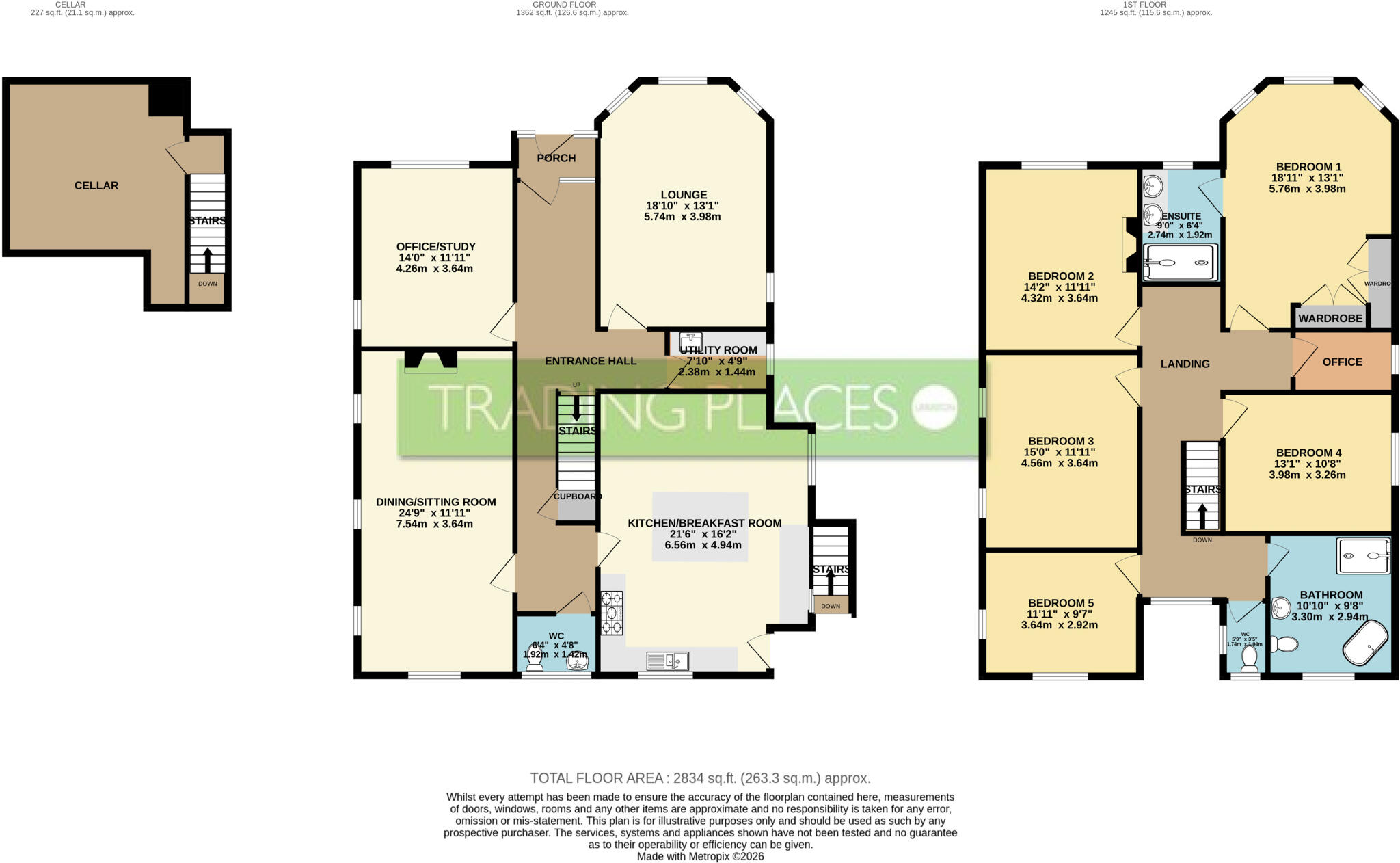
Floor Plan
EPC Graphs
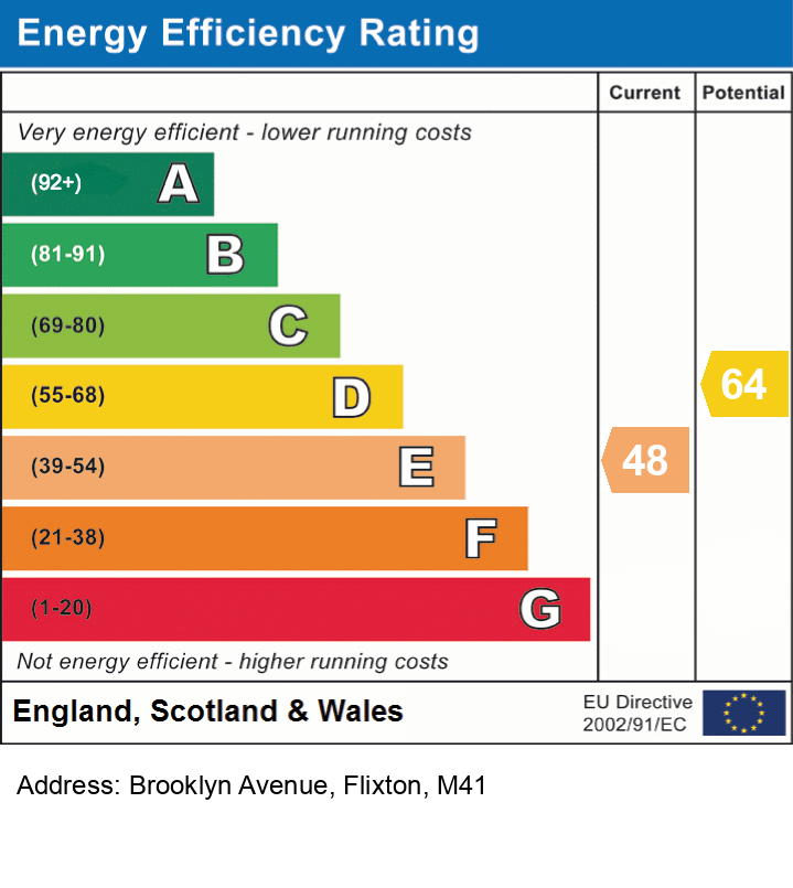
EPC
Price history
| Event | Date | Price | % change |
|---|---|---|---|
| Listed for sale | — | £925,000 | +37% |
| Sold | 01/07/2019 (6 years ago) | £675,000 | — |
Source: HM Land Registry Price Paid Data. Crown copyright.
Sold Comparables
Same street and nearby sales within 0.25 miles (last 5 years). Data from Land Registry Price Paid.
| Address | Price | Date | Type |
|---|---|---|---|
| 11 WOODSEND ROAD SOUTH, URMSTON, MANCHESTER, TRAFFORD, GREATER MANCHESTER, M41 6QB | £370,000 | 19/11/2025 | Detached |
| 54 ROTHIEMAY ROAD, URMSTON, MANCHESTER, TRAFFORD, GREATER MANCHESTER, M41 6JY | £580,000 | 18/12/2023 | Detached |
| 37 BISHOP ROAD, URMSTON, MANCHESTER, TRAFFORD, GREATER MANCHESTER, M41 8QU | £420,000 | 16/09/2022 | Detached |
| 41 GOLDSWORTHY ROAD, URMSTON, MANCHESTER, TRAFFORD, GREATER MANCHESTER, M41 8TY | £505,000 | 12/08/2022 | Detached |
| 39 BISHOP ROAD, URMSTON, MANCHESTER, TRAFFORD, GREATER MANCHESTER, M41 8QU | £289,950 | 21/07/2022 | Detached |
| 26 BISHOP ROAD, URMSTON, MANCHESTER, TRAFFORD, GREATER MANCHESTER, M41 8GU | £365,000 | 05/11/2021 | Detached |
| 41 GOLDSWORTHY ROAD, URMSTON, MANCHESTER, TRAFFORD, GREATER MANCHESTER, M41 8TY | £475,000 | 01/09/2021 | Detached |
Area average: £429,279 (7 sales)
Capital growth trend
Land Registry outcode average: last 12 months vs 5y and 10y ago (from sold prices).
House Price Index (HM Land Registry — official index, not sold-price averages): Trafford. Series: Detached. As of March 2026.
Rental Range
Estimated market rent for Trafford. Low = conservative, Realistic = average, Optimistic = best case.
Based on Local Authority from postcode lookup → Trafford.
LHA (30th percentile) floor for Central Greater Manchester: £1,346/mo (Apr 2025 – Mar 2026)
Location
Nearby
Nearest stations, universities and amenities (distance from property).
| Type | Name | Distance |
|---|---|---|
| Bus stop | Flixton, Irlam Road /near Woodsend Road | 0.0 miles |
| Shop | St. Mary's International Education and Employment Ltd | 0.0 miles |
| Bus stop | Flixton, Woodsend Road / adjacent Irlam Road | 0.1 miles |
| Shop | New Dimensions Hair Design | 0.1 miles |
| Train station | Flixton | 0.4 miles |
| Hospital | Trafford General Hospital | 0.9 miles |
| Train station | Chassen Road | 0.9 miles |
| Hospital | Salford Royal Hospital | 3.9 miles |
| University | University of Salford | 4.2 miles |
| University | University Academy 92 | 4.4 miles |
Street-level crime
| Category | Count |
|---|---|
| Total incidents | 0 |
Within 1 mile during Apr 2026. Source: data.police.uk (England & Wales).
Schools nearby
Nearest open schools with Ofsted ratings (England). Closed schools are not shown. Data from Get Information about Schools and Ofsted.
| Name | Type | Distance | Ofsted |
|---|---|---|---|
| St Monica's RC Primary School | Primary | 0.1 miles | Good — 22 Oct 2014 |
| Acre Hall Primary School | Primary | 0.2 miles | Requires improvement — 8 Sep 2024 |
| Wellacre Technology Academy | Secondary | 0.2 miles | Requires improvement — 22 Jan 2024 |
| Delamere School | Other | 0.3 miles | Outstanding — 12 Sep 2017 |
| St Michael's CofE (Aided) Primary School | Primary | 0.5 miles | Good — 15 Jan 2024 |
Rental Comparables
Loading rental comparables for this postcode. Refresh in a few minutes.
Rent-driven metrics
Based on Area rent estimate.
- Rent ratio — Monthly rent ÷ purchase price (1% rule). 1%+ = strong, 0.8–1% = okay, <0.8% = weak for cashflow.
- Max investor price — Rent ÷ 0.8%; the price at which rent would be 0.8% of price (Stoke-style target).
- Target investor price — Rent ÷ 1%; the price at which rent would be 1% of price (strong cashflow band).
- Gross yield — Annual rent as % of purchase price (no costs).