5B
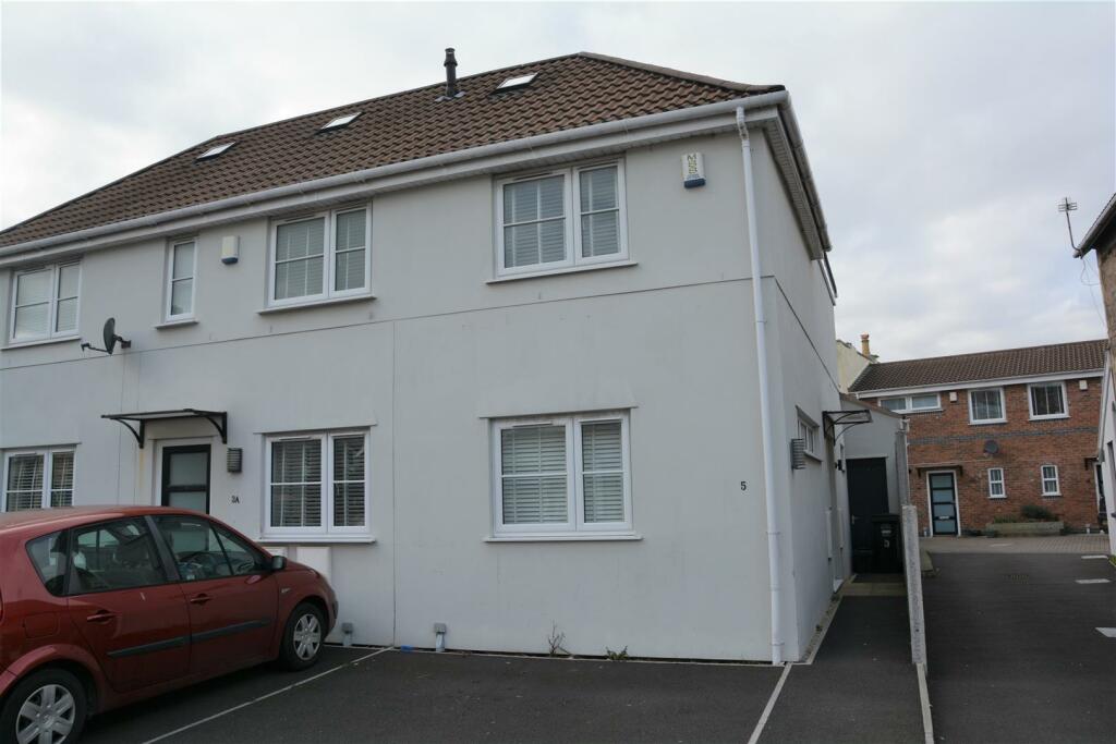
SWISS ROAD, WESTON-SUPER-MARE, NORTH SOMERSET BS23 3AU
£1,050 pcm
Property details
Floor area
61 m²
Council tax band
B
Year built
England and Wales: 2012 onwards
Deprivation
Decile 1 (3,199 of 33,755)
Street crime
516 incidents within 1 mile (Apr 2026)
Additional details
- Parking
- Yes
- Garden
- Yes
Description
No phone appliactions accepted please apply through the website.
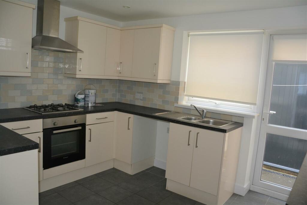
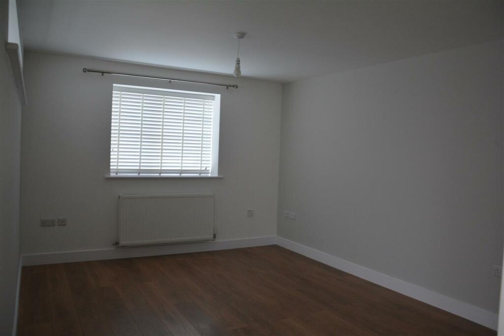
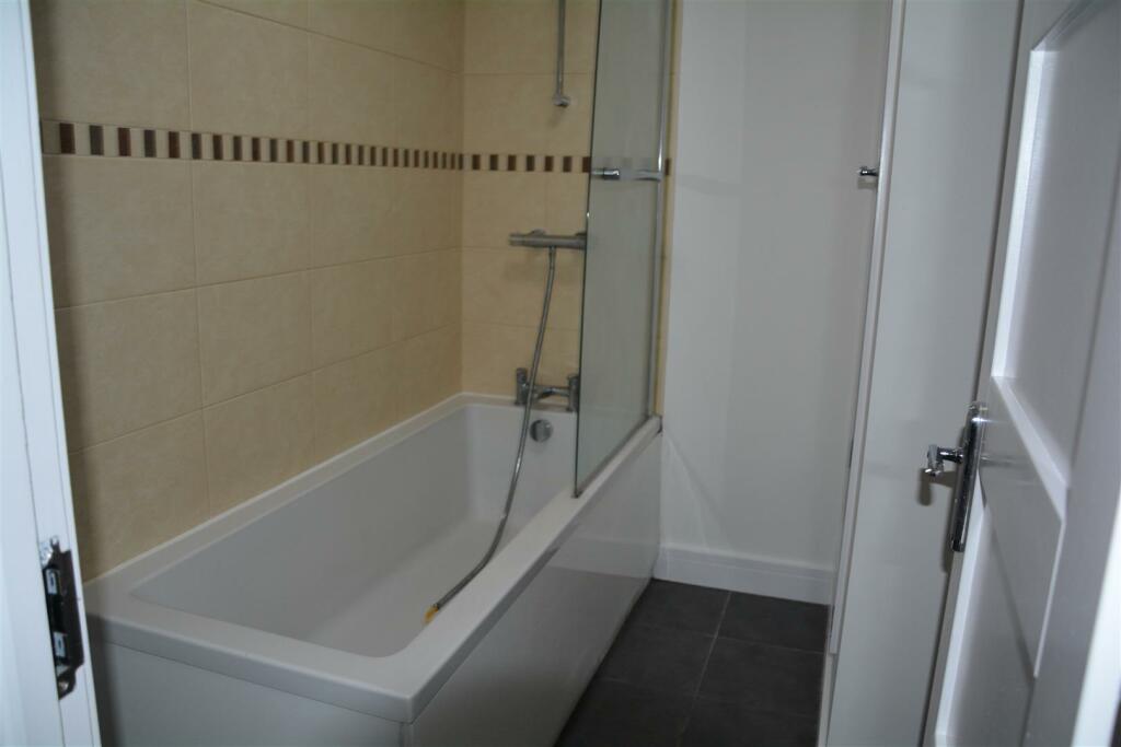
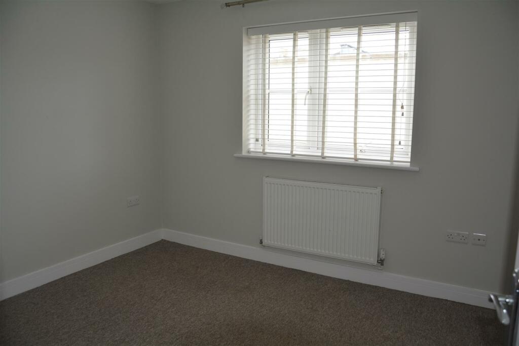
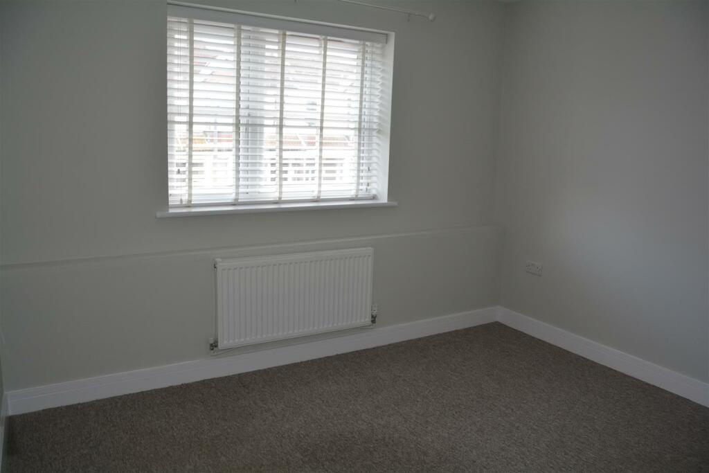
Entrance Hall, Lounge/Diner, Kitchen with oven, hob and extractor, 2 bedrooms, bathroom with shower over bath and a small courtyard garden area.
The property benefits from gas central heating, UPVC double glazing and parking space.
The EPC rating is C and council tax band B.
Material Information - Material Information - We have been advised the following:-
Electricity- Mains
Water and Sewerage- Bristol and Wessex Water
Broadband- For an indication of specific speeds and supply or coverage in the area, we recommend visiting the Ofcom checker at checker.ofcom.org.uk/en-gb/broadband-coverage.
Mobile Signal- No known restrictions, we recommend visiting the Ofcom checker at checker.ofcom.org.uk/en-gb/mobile-coverage.
Flood-risk- Please refer to the North Somerset planning website if you wish to investigate the flood-risk map for the area at map.n-somerset.gov.uk/DandE.html.
Listed by
Worle
The Property Group (2010) Ltd
Reference: 149405555
EPC Rating & Upgrade Cost
Fetching EPC data… Refresh this page in a moment.
Flood risk
Zone: 1
Risk: Low
Job (default Low)
EPC Graphs
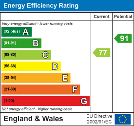
EE Rating
Rental Range
Estimated market rent for North Somerset. Low = conservative, Realistic = average, Optimistic = best case.
Based on Local Authority from postcode lookup → North Somerset.
LHA (30th percentile) floor for Weston-S-Mare: £748/mo (Apr 2025 – Mar 2026)
Location
Nearby
Nearest stations, universities and amenities (distance from property).
| Type | Name | Distance |
|---|---|---|
| Bus stop | Swiss Road (aa) | 0.0 miles |
| Shop | System 2 Security | 0.0 miles |
| Bus stop | Locking Road Car Park | 0.1 miles |
| Shop | Weston Motorcycles | 0.1 miles |
| Train station | Weston-super-Mare | 0.2 miles |
| Hospital | Unknown | 0.5 miles |
| Train station | Weston Milton | 1.2 miles |
| Hospital | Cygnet Hospital Kewstoke | 1.3 miles |
| University | University of Bristol Langford Campus | 8.3 miles |
Street-level crime
| Category | Count |
|---|---|
| Violence and sexual offences | 181 |
| Anti-social behaviour | 84 |
| Shoplifting | 62 |
| Public order | 48 |
| Criminal damage and arson | 43 |
| Other theft | 29 |
| Burglary | 17 |
| Other crime | 13 |
| Vehicle crime | 10 |
| Robbery | 9 |
| Bicycle theft | 8 |
| Drugs | 7 |
| Possession of weapons | 3 |
| Theft from the person | 2 |
| Total incidents | 516 |
Within 1 mile during Apr 2026. Source: data.police.uk (England & Wales).
Schools nearby
Nearest open schools with Ofsted ratings (England). Closed schools are not shown. Data from Get Information about Schools and Ofsted.
| Name | Type | Distance | Ofsted |
|---|---|---|---|
| Christ Church Church of England Primary School | Primary | 0.2 miles | Good — 17 Jul 2023 |
| Walliscote Primary School | Primary | 0.3 miles | Good — 17 May 2022 |
| Ashcombe Primary School | Primary | 0.5 miles | Good — 6 Feb 2013 |
| Corpus Christi Catholic Primary School | Primary | 0.5 miles | Good — 10 Oct 2021 |
| Weston College | Other | 0.6 miles | — (No rating) |
Rental Comparables
Residential lets from OpenRent and Rightmove for the area (same bedroom count). Use to validate rent estimates. Student lets are excluded.
| Title | Rent | Beds | Distance | As seen on |
|---|---|---|---|---|
| 2 Bed Flat, Walliscote Road, BS23 | £1,100/mo | 2 | 0.25 miles | OpenRent |
| 2 Bed Flat, Charlton Road, BS23 | £1,225/mo | 2 | 0.97 miles | OpenRent |
Average rent: £1,163/mo (2 listings)