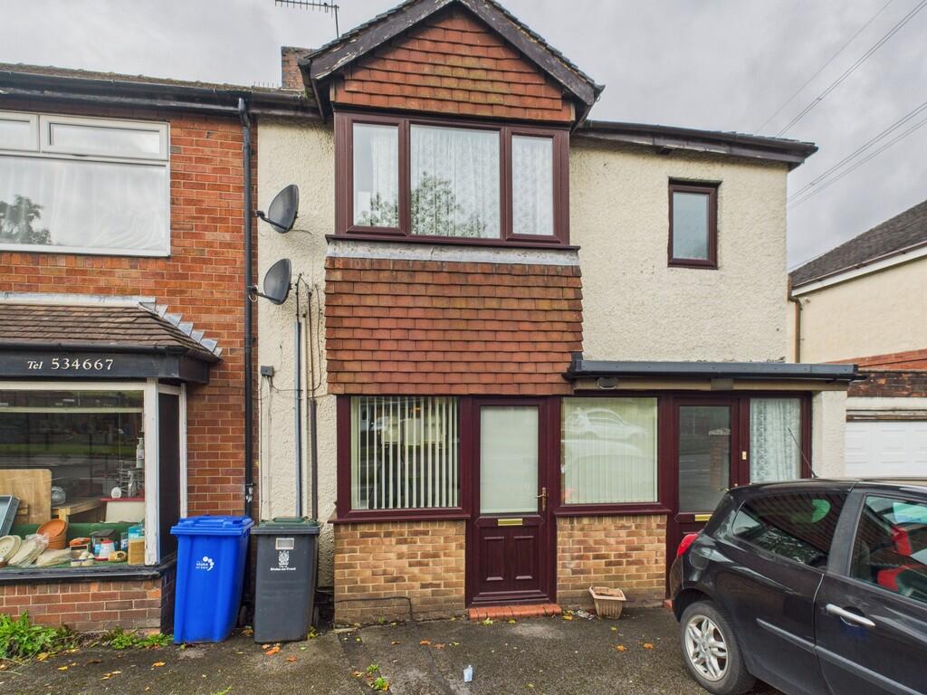
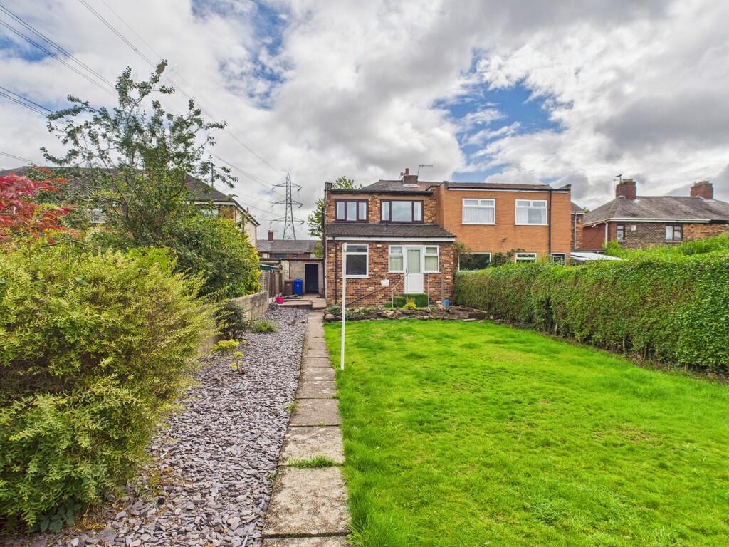
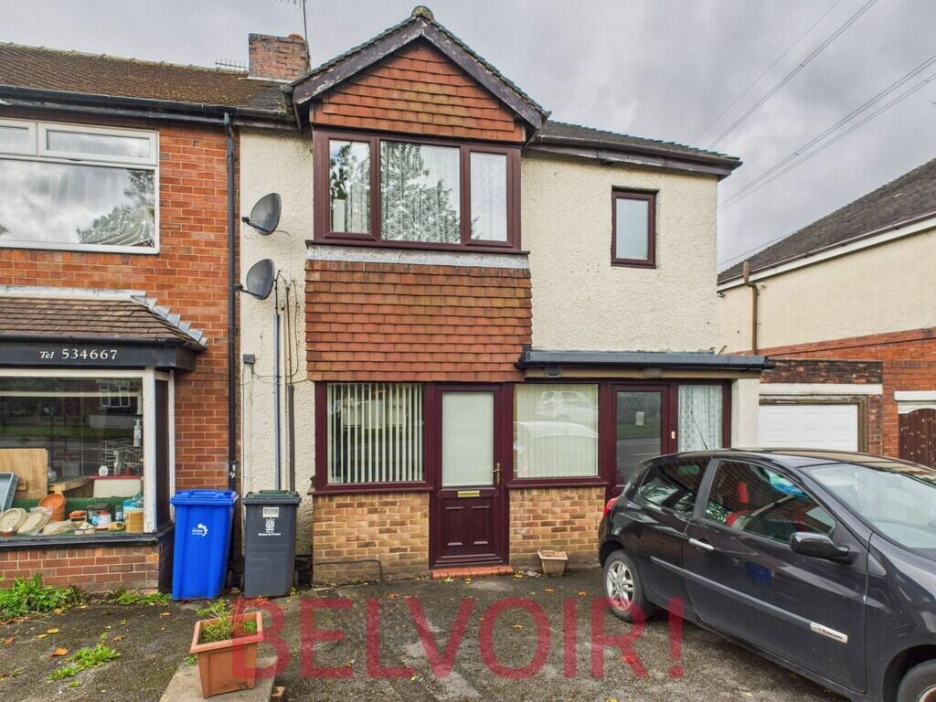
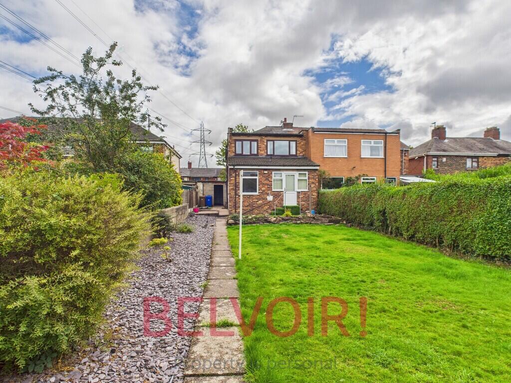
1479 LEEK ROAD
STOKE-ON-TRENT, STOKE-ON-TRENT ST2 8DA
£725 pcm
CAM02169G0-PR0375... CAM02169G0-PR0375... CAM02169G0-PR0375... CAM02169G0-PR0375... CAM02169G0-PR0375... CAM02169G0-PR0375... CAM02169G0-PR0375... CAM02169G0-PR0375... CAM02169G0-PR0375... CAM02169G0-PR0375... CAM02169G0-PR0375... Photo 12 Photo 13 Photo 14 Photo 15 Photo 16 Photo 17 Photo 18 Photo 19 Photo 20 Photo 21 Photo 22 Photo 23 Photo 24 Photo 25 Photo 26
/ 26
Property details
Council tax band
A
Deprivation
Decile 2 (3,572 of 33,755)
Street crime
173 incidents within 1 mile (Apr 2026)
Key features
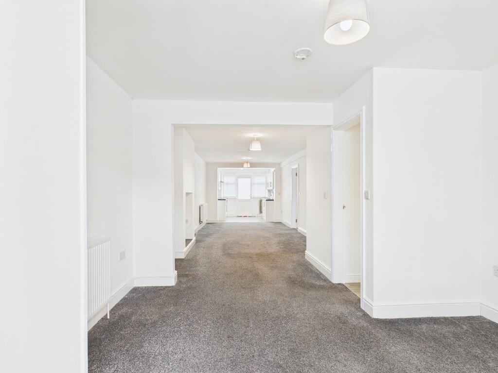
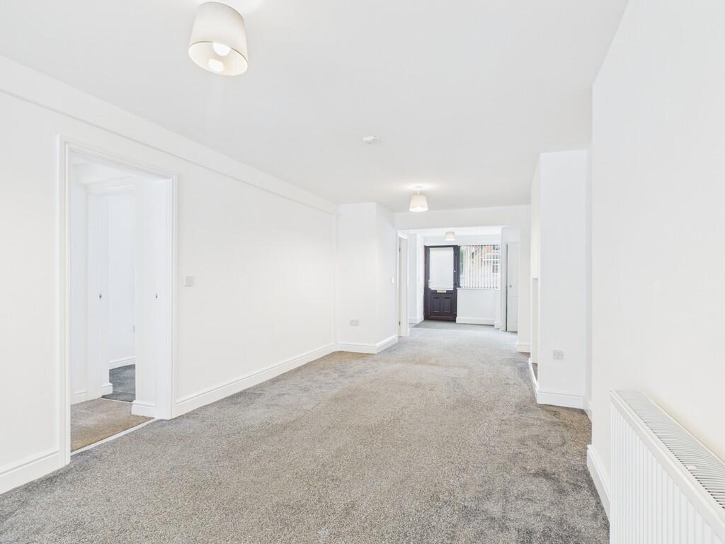
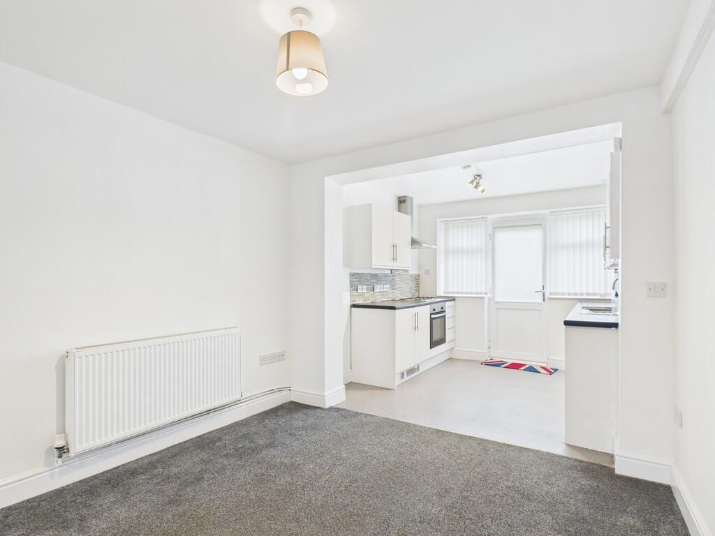
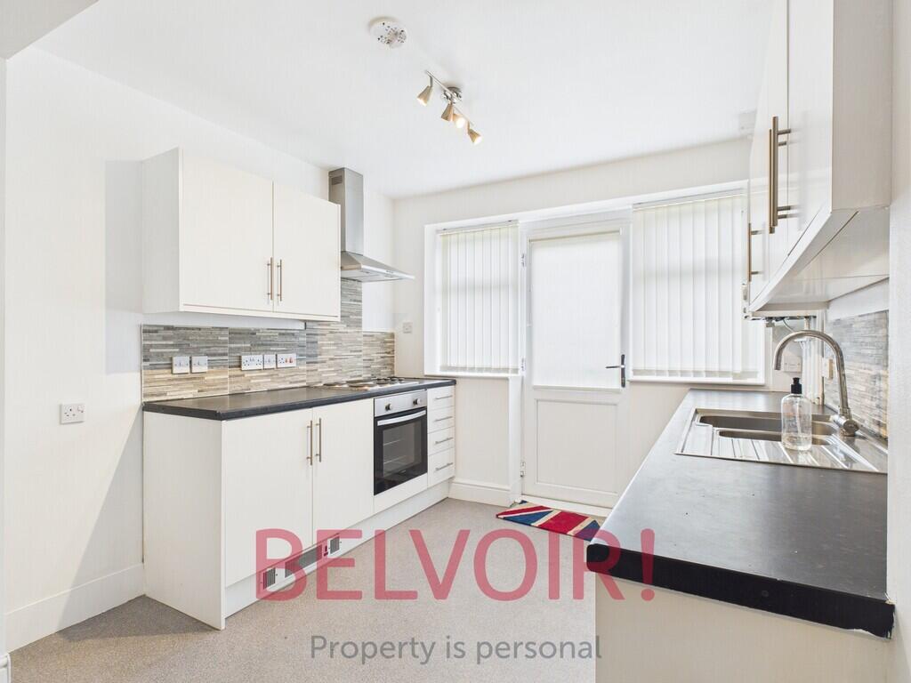
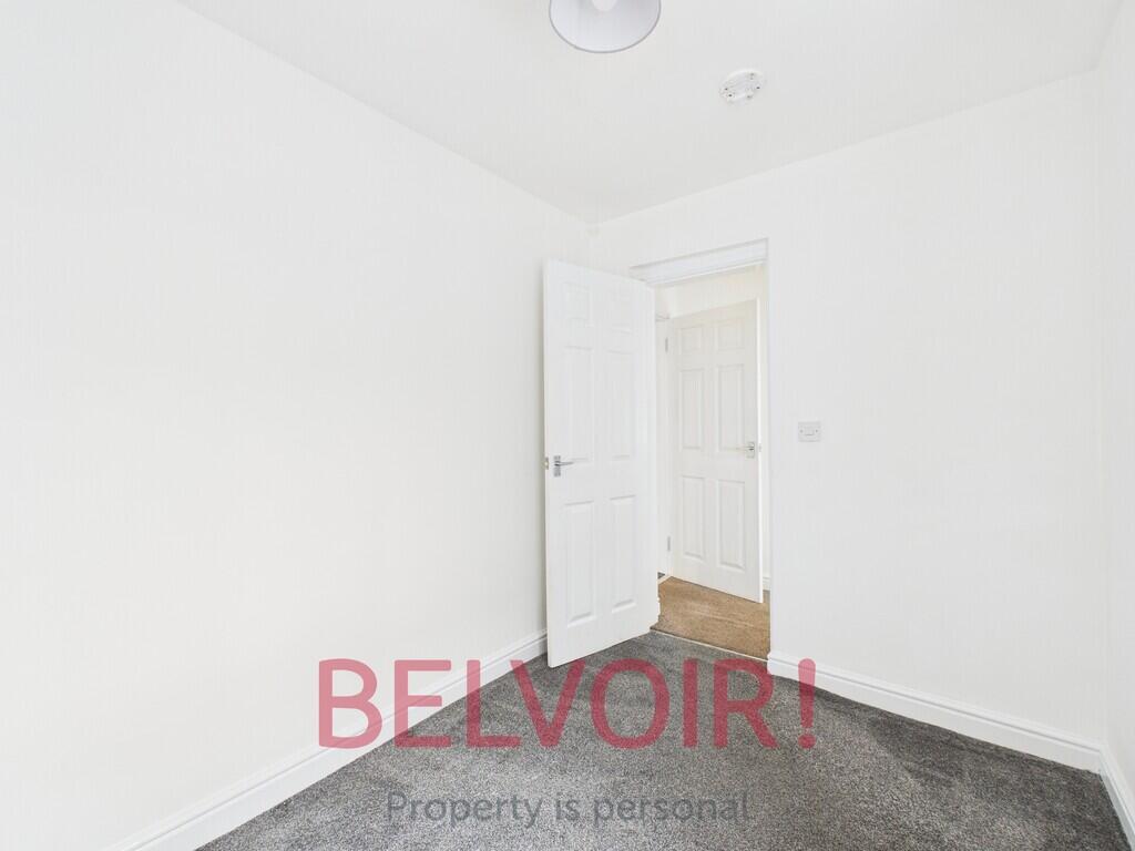
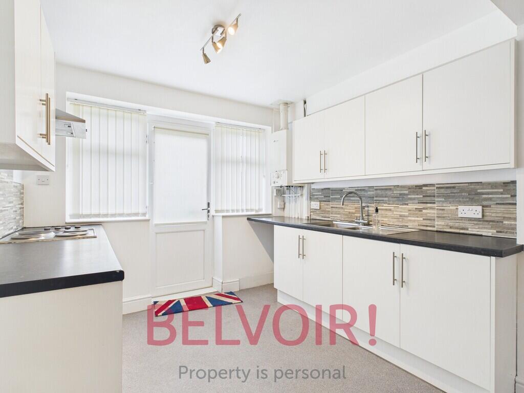
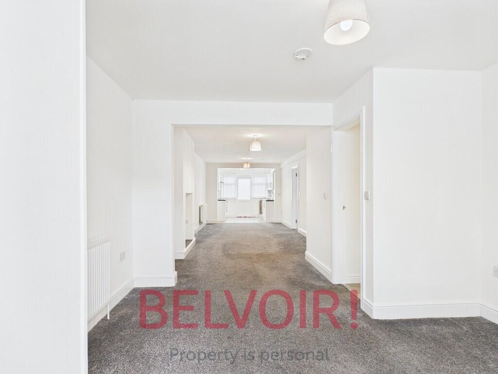
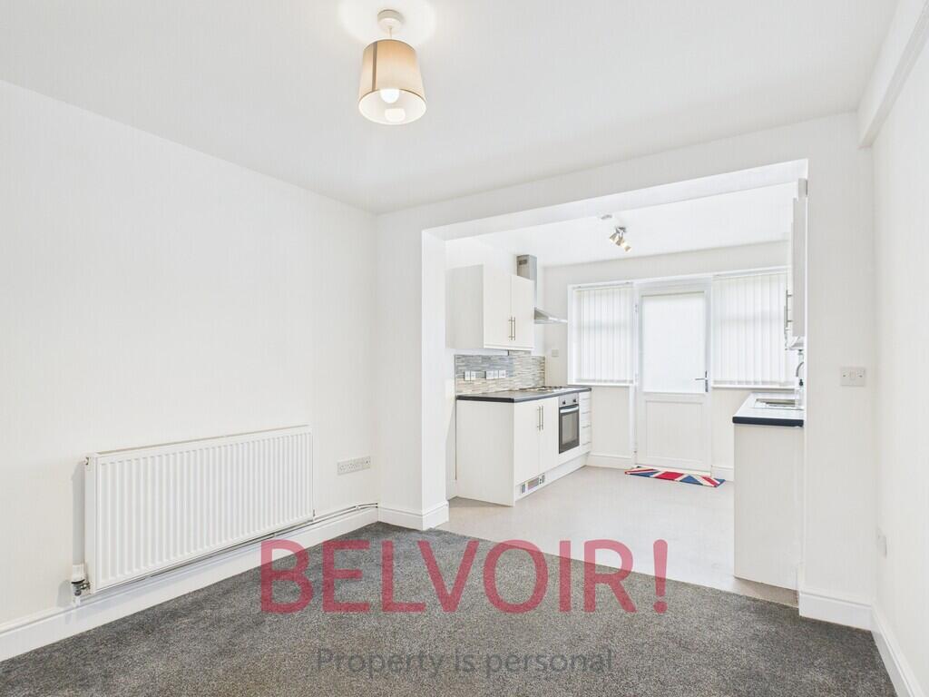
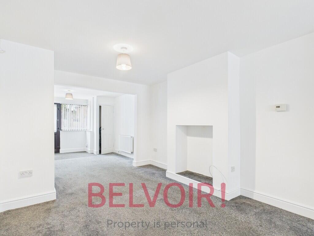
- Ground Floor Flat
- Spacious Lounge
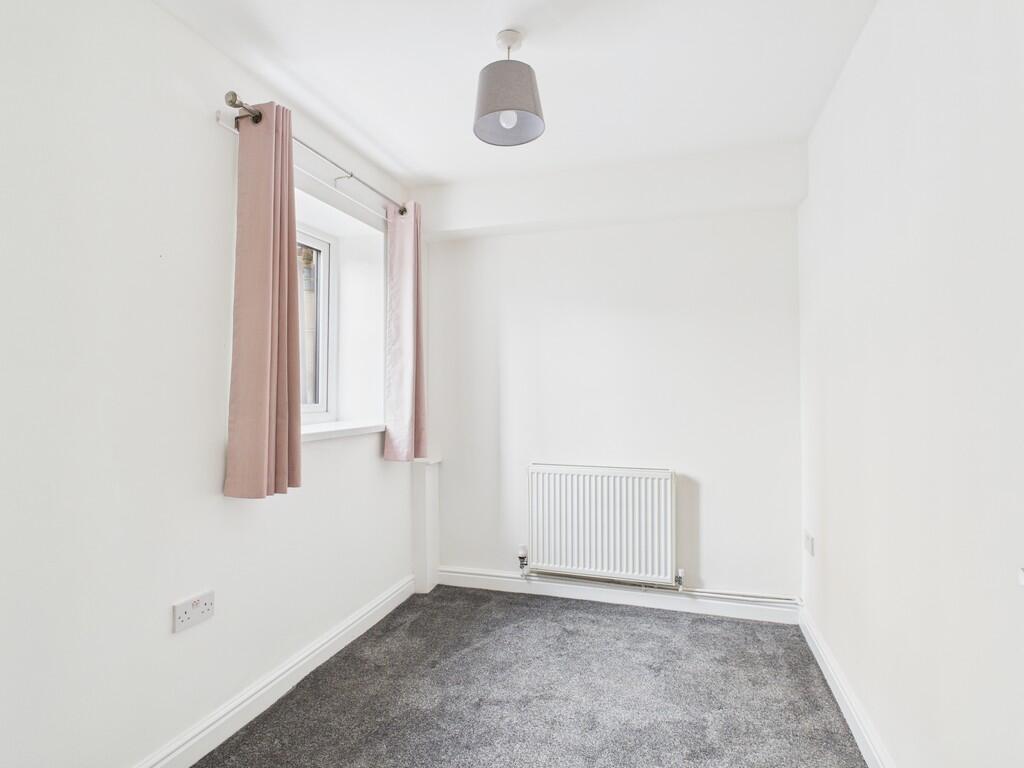
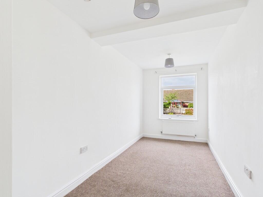
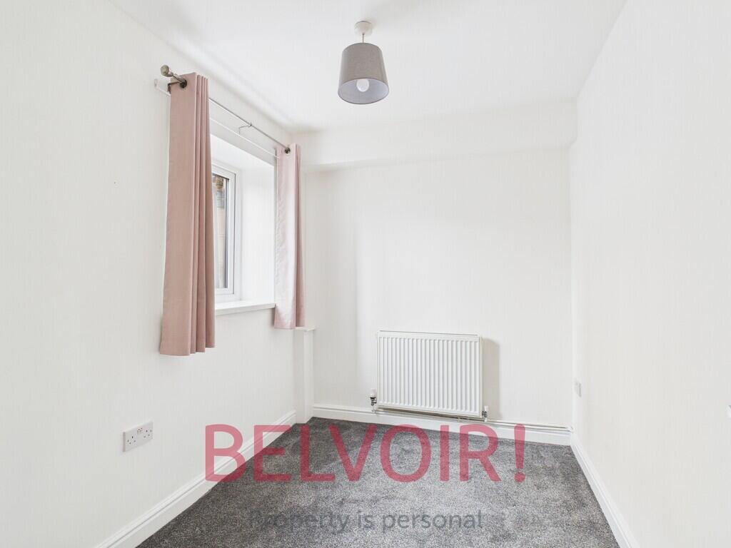
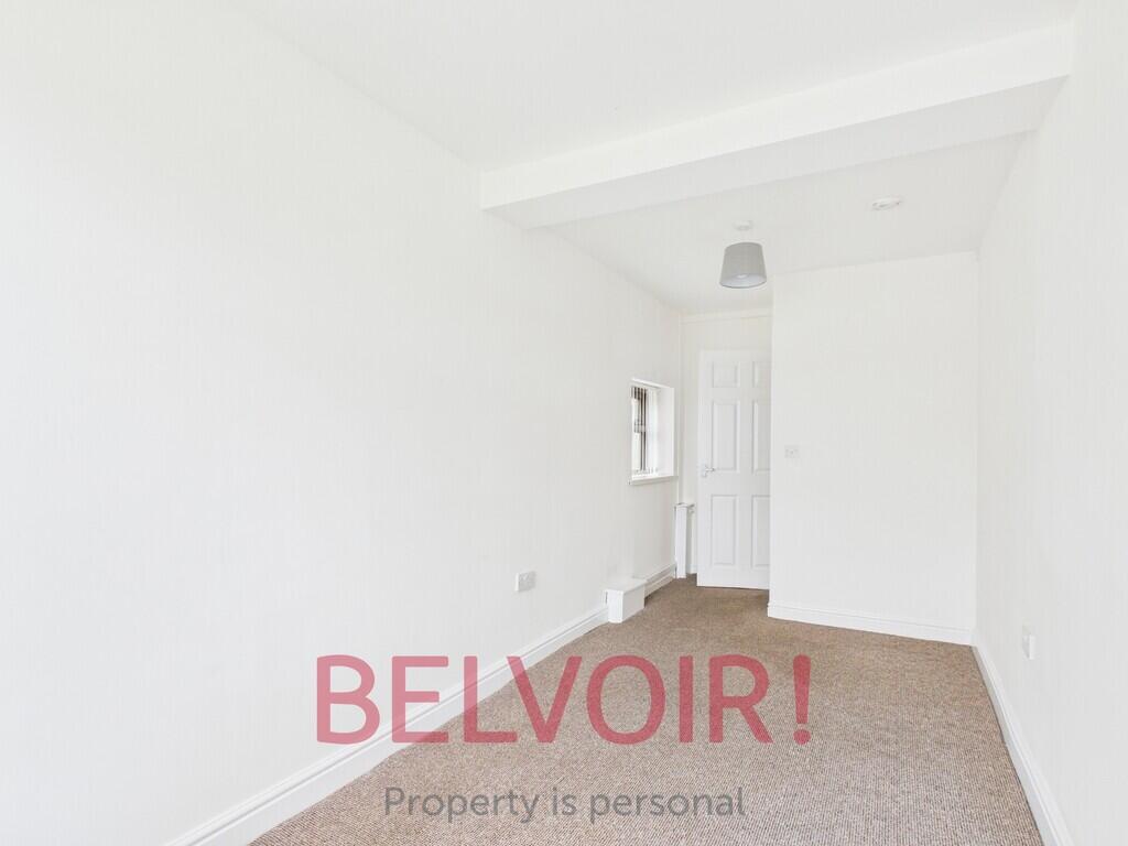
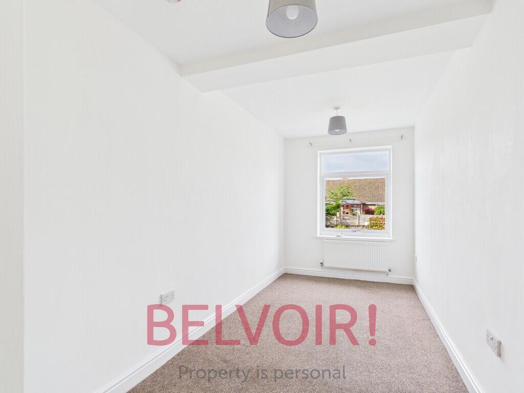
- Two Bedrooms
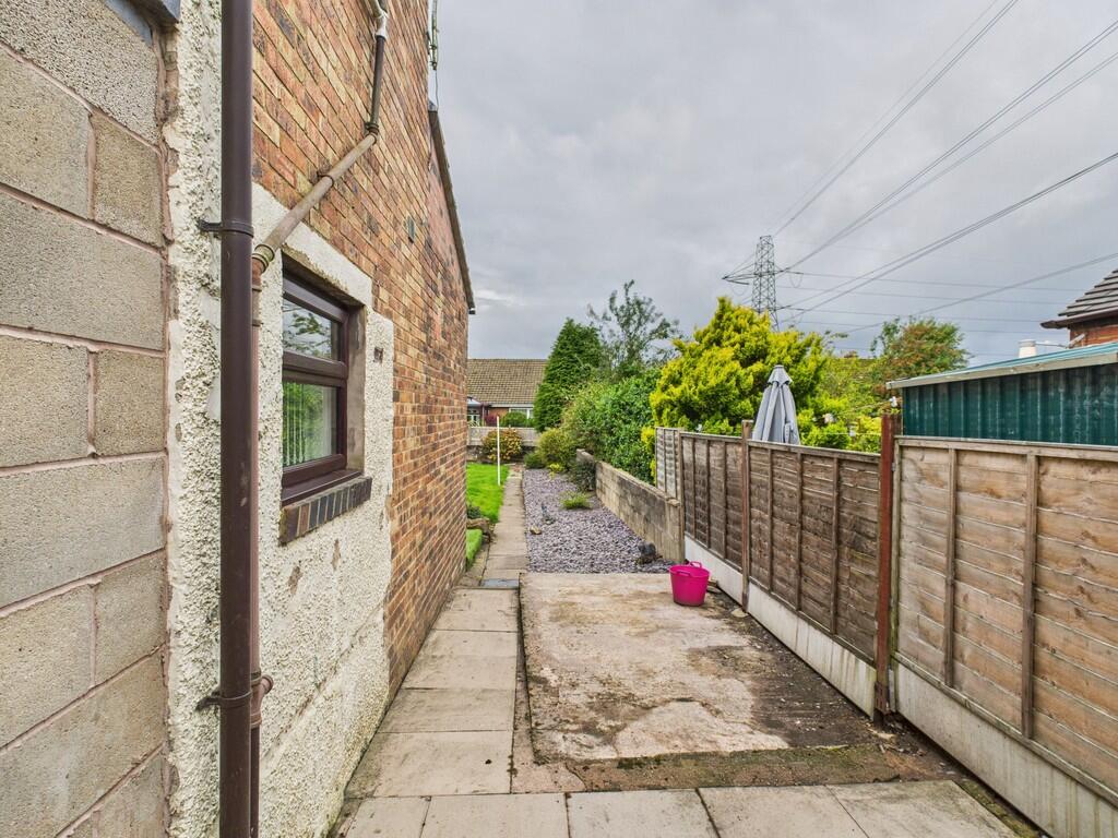
- Off Road Parking
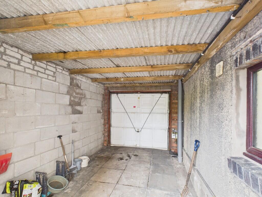
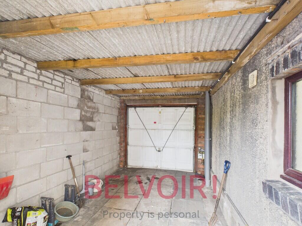
- Garage
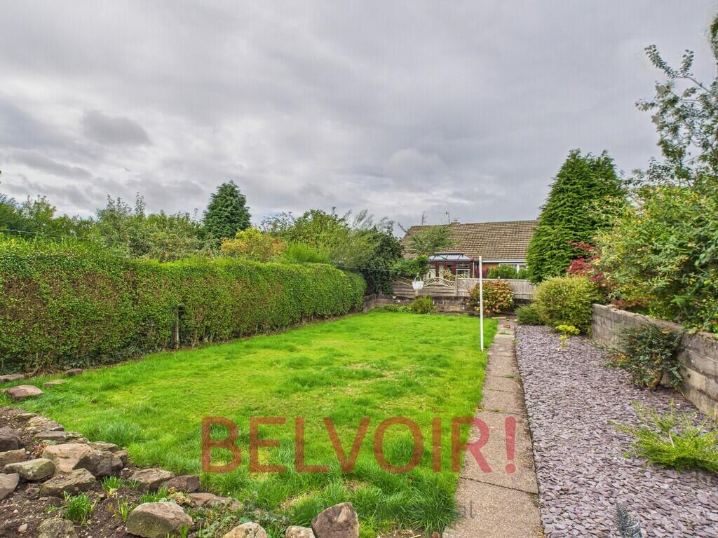
- Rear Garden
- Close to Hanley & Milton
- Council Tax Band A
Additional details
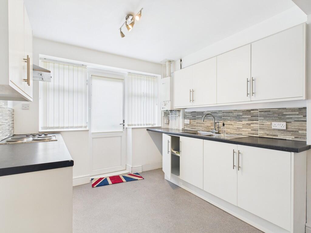
- Heating
- Gas central
- Parking
- Garage
- Garden
- Yes
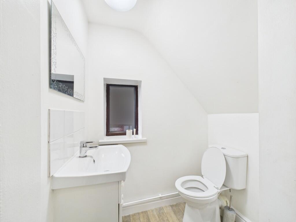
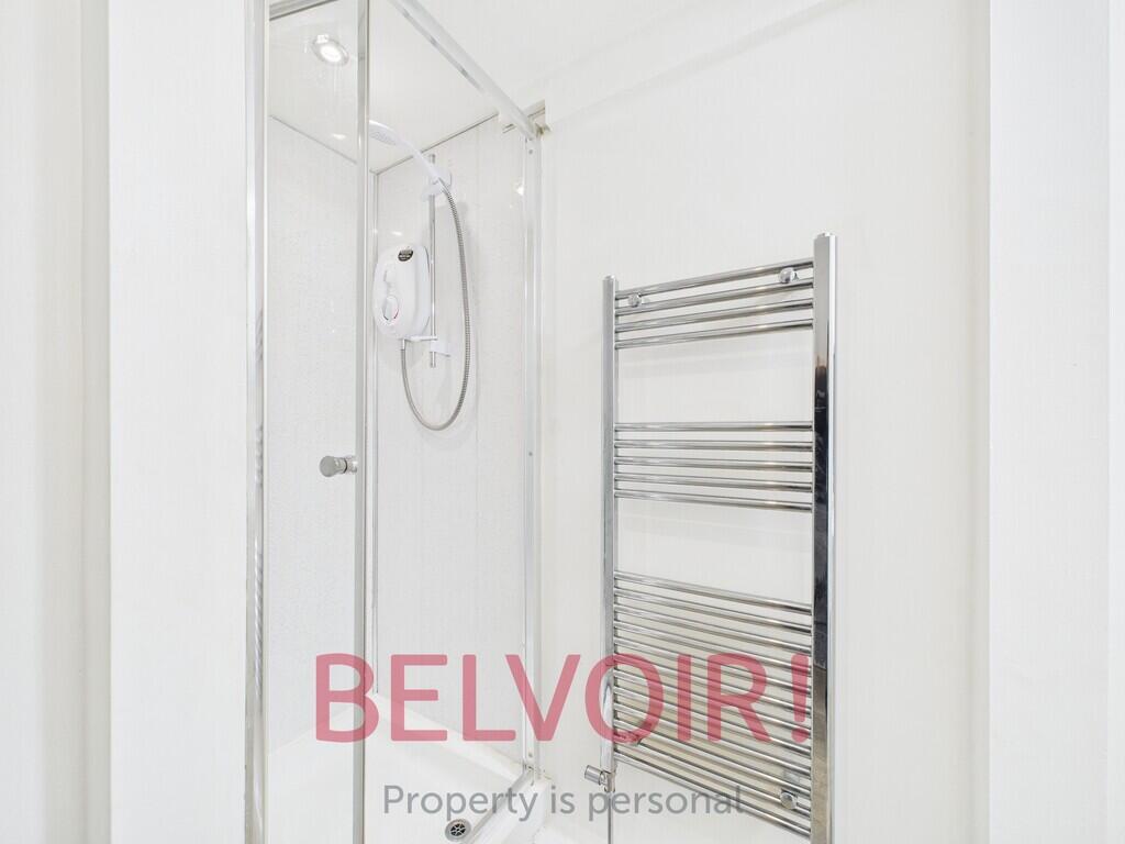
Description
Listed by
Stoke On Trent
The Property Franchise Group
Reference: 88185318
Flood risk
Zone: 1
Risk: Low
Job (default Low)
Floorplans
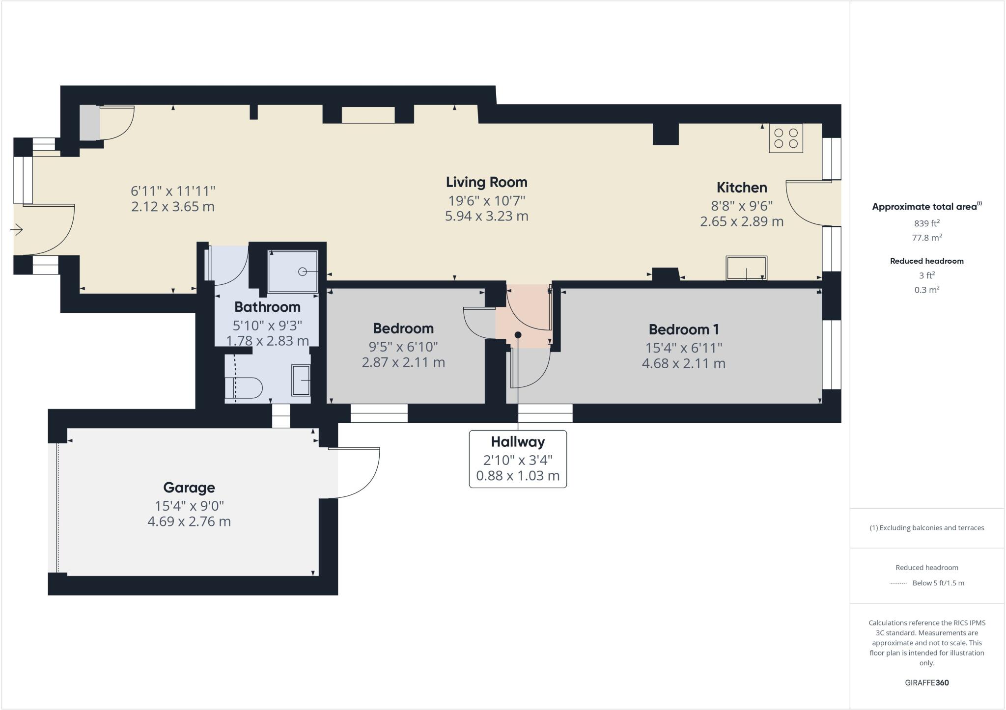
Floorplan 1
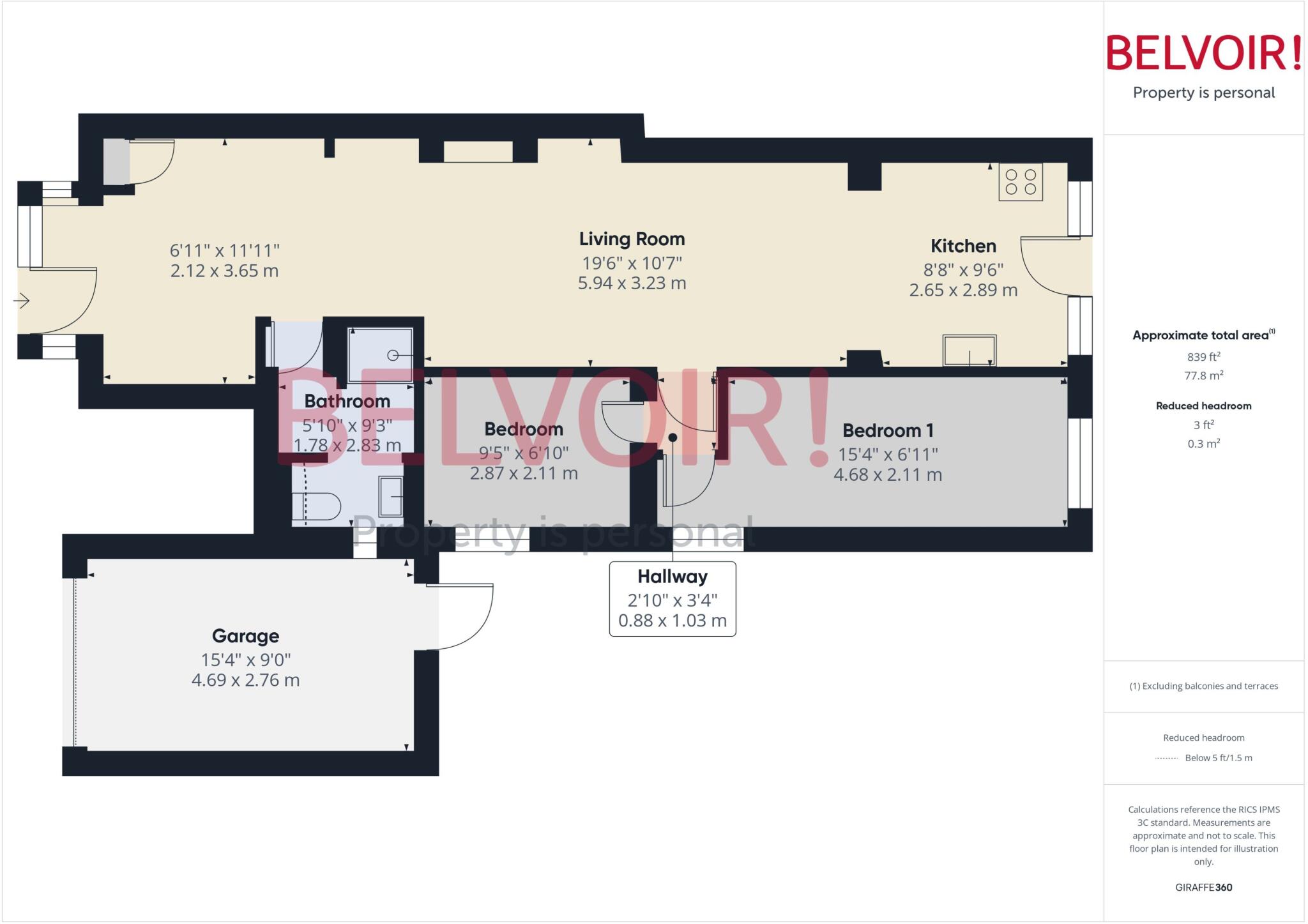
Floorplan 2
EPC Graphs
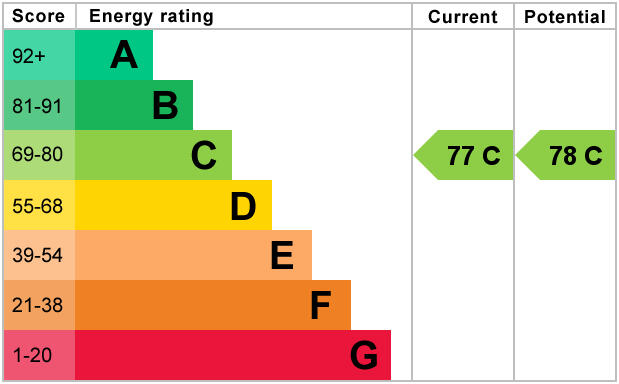
EPC 1
Rental Range
Estimated market rent for Stoke-on-Trent. Low = conservative, Realistic = average, Optimistic = best case.
Based on Local Authority from postcode lookup → Stoke-on-Trent.
LHA (30th percentile) floor for Staffordshire North: £479/mo (Apr 2025 – Mar 2026)
Location
Nearby
Nearest stations, universities and amenities (distance from property).
| Type | Name | Distance |
|---|---|---|
| Bus stop | Unknown | 0.3 miles |
| Shop | Heron Foods | 0.4 miles |
| Shop | Woolridge News | 0.4 miles |
| Bus stop | Earlswood Road | 0.4 miles |
| Hospital | Haywood Hospital Walk-in Centre | 2.3 miles |
| Train station | Stoke-on-Trent | 2.7 miles |
| Train station | Longport | 3.0 miles |
| Hospital | Royal Stoke University Hospital | 3.8 miles |
| University | Keele University | 5.9 miles |
| University | Buxton & Leek College | 6.9 miles |
Street-level crime
| Category | Count |
|---|---|
| Violence and sexual offences | 64 |
| Anti-social behaviour | 40 |
| Criminal damage and arson | 21 |
| Public order | 20 |
| Burglary | 8 |
| Other theft | 4 |
| Drugs | 3 |
| Possession of weapons | 3 |
| Shoplifting | 3 |
| Vehicle crime | 3 |
| Bicycle theft | 2 |
| Other crime | 1 |
| Robbery | 1 |
| Total incidents | 173 |
Within 1 mile during Apr 2026. Source: data.police.uk (England & Wales).
Schools nearby
Nearest open schools with Ofsted ratings (England). Closed schools are not shown. Data from Get Information about Schools and Ofsted.
| Name | Type | Distance | Ofsted |
|---|---|---|---|
| Birches Head Academy | Secondary | 0.3 miles | Inadequate — 10 Apr 2024 |
| Carmountside Primary Academy | Primary | 0.4 miles | Good — 21 Sep 2022 |
| Abbey Hulton Primary School | Primary | 0.5 miles | Good — 3 Mar 2016 |
| Holden Lane Academy | Primary | 0.5 miles | Good — 23 May 2013 |
| Our Lady and St Benedict Catholic Academy | Primary | 0.5 miles | Outstanding — 28 Jan 2024 |
Rental Comparables
Residential lets from OpenRent and Rightmove for the area (same bedroom count). Use to validate rent estimates. Student lets are excluded.
| Title | Rent | Beds | Distance | As seen on |
|---|---|---|---|---|
| Leek Road,Abbey Hulton, Stoke-on-Trent | £725/mo | 2 | 0 miles | Rightmove |
| Henry Mason Place, Bucknall, Stoke-On-Trent, ST2 | £900/mo | 2 | 0.78 miles | Rightmove |
| Henry Mason Place, Bucknall | £900/mo | 2 | 0.79 miles | Rightmove |
| Dividy Road, Stoke-on-trent | £875/mo | 2 | 1.52 miles | Rightmove |
| Ruthin Road, Bentilee, Stoke-On-Trent, ST2 | £795/mo | 2 | 1.62 miles | Rightmove |
Average rent: £839/mo (5 listings)