133 ST MARYS AVENUE
PETERBOROUGH, WITTERING, CITY OF PETERBOROUGH PE8 6EY
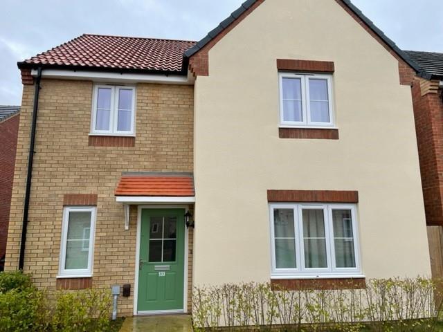
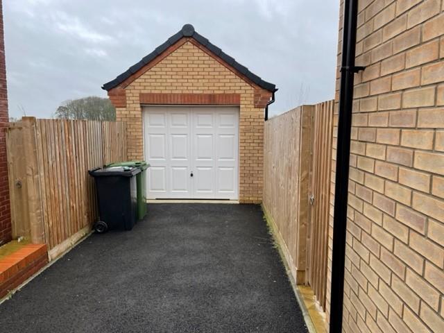
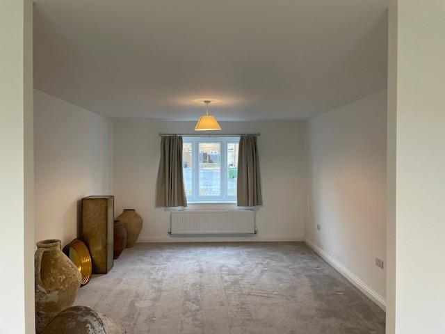
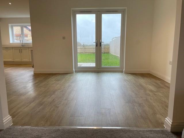
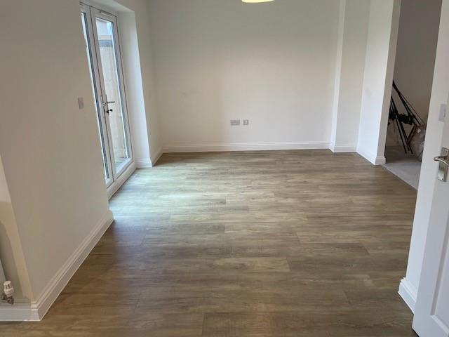

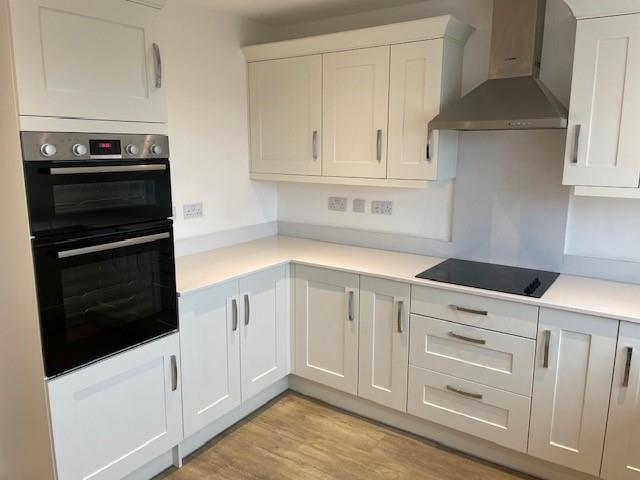
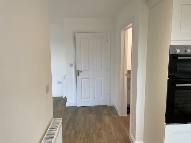
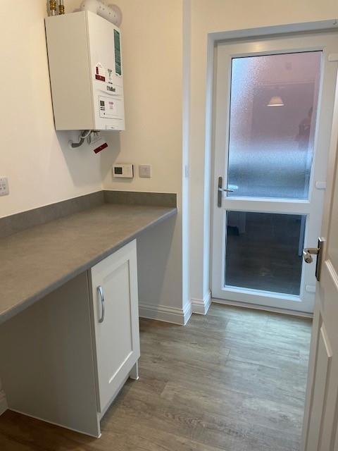
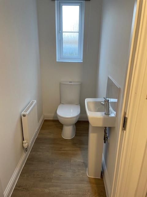
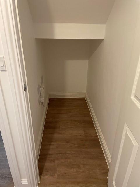
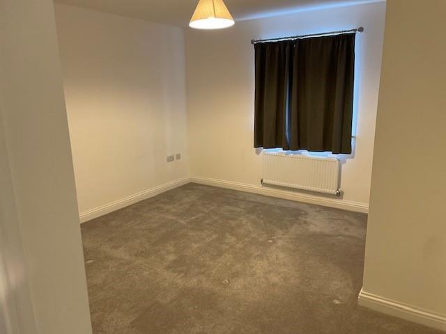
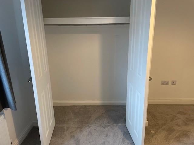
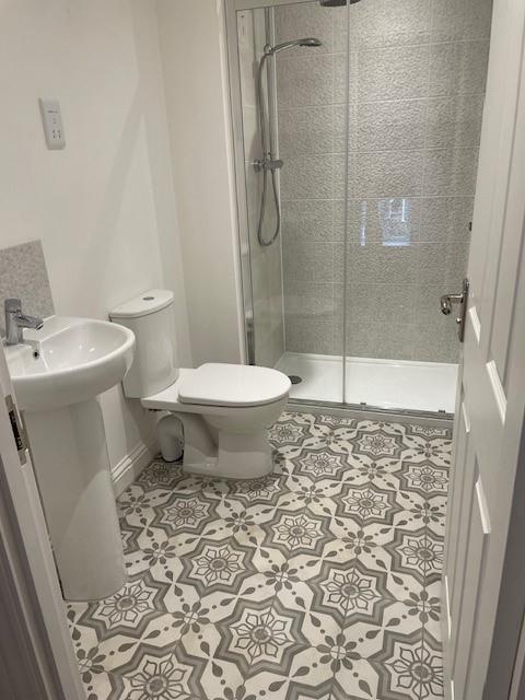
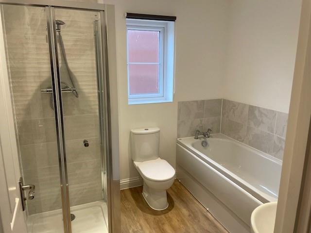
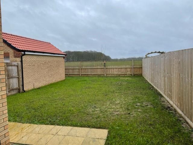
Photo 1 Photo 2 Photo 3 Photo 4 Photo 5 Photo 6 Photo 7 Photo 8 Photo 9 Photo 10 Photo 11 Photo 12 Photo 13 Photo 14 Photo 15 Photo 16
/ 16
Property details
Floor area
135 m²
Council tax band
D
EPC rating
B
Deprivation
Decile 7 (22,165 of 33,755)
Street crime
11 incidents within 1 mile (Apr 2026)
Key features
- Located between Stamford and Peterborough
- New Development
- Spacious Entrance Hall with Space for a Desk/Seating Area
- Open Plan Kitchen, Lounge & Diner with Separate Utility Room
- Downstairs WC and Store Room
- Master Bedroom with En-suite
- Three Bedrooms
- Family Bathroom
- Driveway, Garage and Rear Garden
Additional details
- Parking
- Yes
- Garden
- Yes
Description
The property comprises spacious entrance hall, open plan kitchen, living & dining area with a utility room, downstairs WC, store room, master bedroom with en suite, three further bedrooms and family bathroom.
The property benefits from a driveway, garage and rear turfed garden.
Viewings are highly recommended.
Listed by
Leicester
Priya Properties
Reference: 157331117
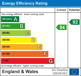
EPC Rating & Upgrade Cost
Current rating: B
Potential rating: A
Inspection date: 24/02/2023
Expiry date: 23/02/2033
Current heating cost: £719/year
Potential heating cost: £723/year
Est. upgrade cost to C: £9,500
Recommendations
- Solar water heating (£4,000 - £6,000)
- Solar photovoltaic panels, 2.5 kWp (£3,500 - £5,500)
Flood risk
Zone: 1
Risk: Low
Job (default Low)
Floorplans
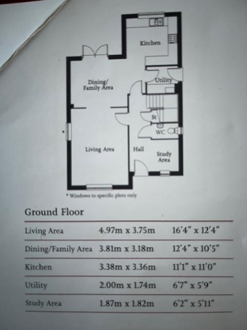
Floorplan 1
EPC Graphs
EPC 1
Rental Range
Estimated market rent for Peterborough. Low = conservative, Realistic = average, Optimistic = best case.
Based on Local Authority from postcode lookup → Peterborough.
LHA (30th percentile) floor for Peterborough: £1,047/mo (Apr 2025 – Mar 2026)
Location
Nearby
Nearest stations, universities and amenities (distance from property).
| Type | Name | Distance |
|---|---|---|
| Shop | RX Sport | 0.6 miles |
| Shop | V and A Hair Design | 0.6 miles |
| Bus stop | Unknown | 1.0 miles |
| Train station | Wansford (NVR) | 3.1 miles |
| Train station | Yarwell Junction (NVR) | 3.1 miles |
| Hospital | Peterborough City Hospital | 6.6 miles |
| University | City College Peterborough | 8.4 miles |
| University | ARU Peterborough | 8.6 miles |
Street-level crime
| Category | Count |
|---|---|
| Violence and sexual offences | 5 |
| Anti-social behaviour | 1 |
| Burglary | 1 |
| Criminal damage and arson | 1 |
| Other crime | 1 |
| Public order | 1 |
| Vehicle crime | 1 |
| Total incidents | 11 |
Within 1 mile during Apr 2026. Source: data.police.uk (England & Wales).
Schools nearby
Nearest open schools with Ofsted ratings (England). Closed schools are not shown. Data from Get Information about Schools and Ofsted.
| Name | Type | Distance | Ofsted |
|---|---|---|---|
| Wittering Primary School | Primary | 0.5 miles | — (Inspected (no overall grade)) |
| Barnack CofE (Controlled) Primary School | Primary | 2.2 miles | Good — 10 Nov 2022 |
| Copthill Independent Day School & Nursery | Other | 3.3 miles | — (No rating) |
| Nassington Primary School | Primary | 3.5 miles | Good — 2 Jul 2018 |
| Stamford Junior School | Other | 3.6 miles | — (No rating) |
Rental Comparables
Loading rental comparables for this postcode. Refresh in a few minutes.